The best mountain hikes around La Fajolle
3.3
(3)
10
hikers
3
hikes
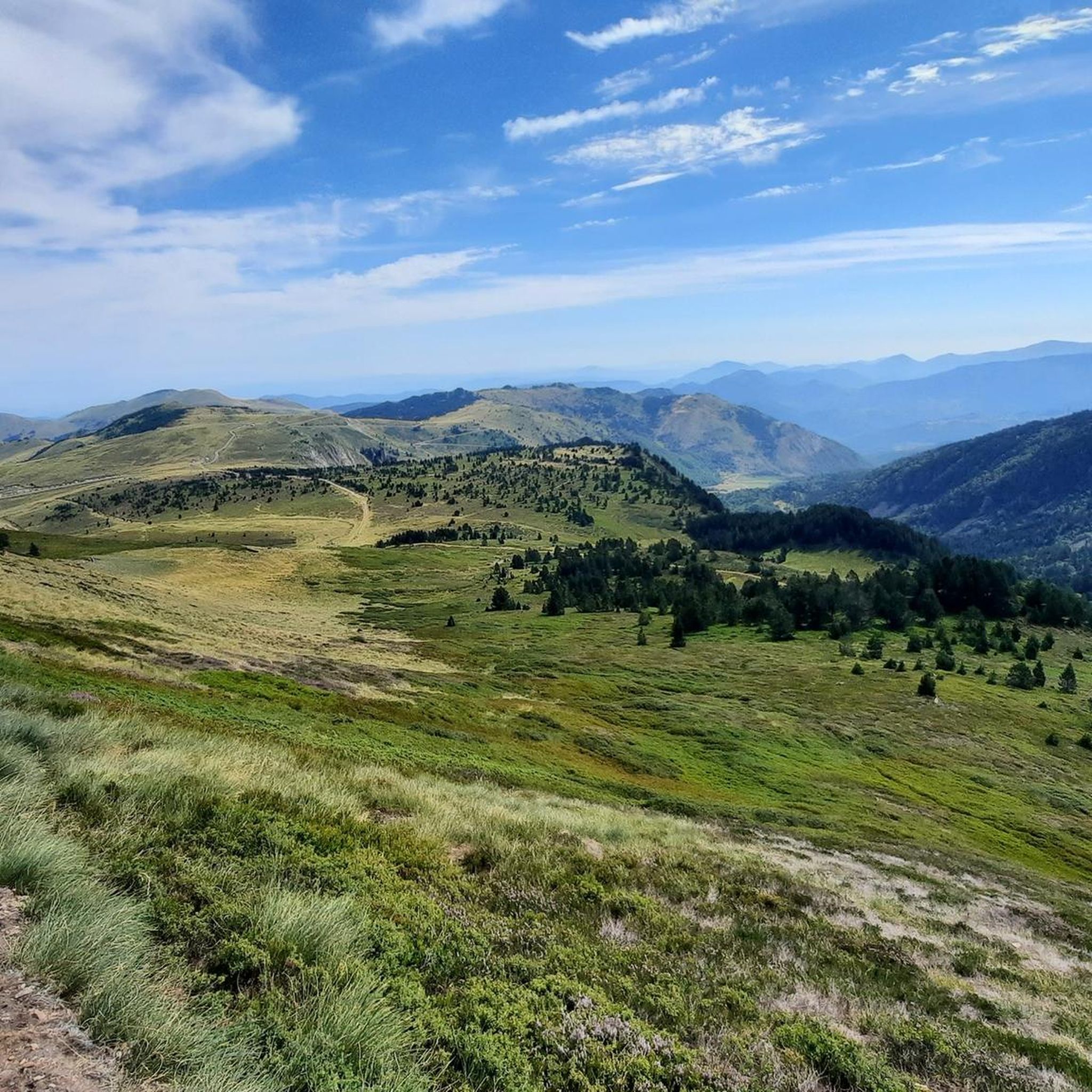
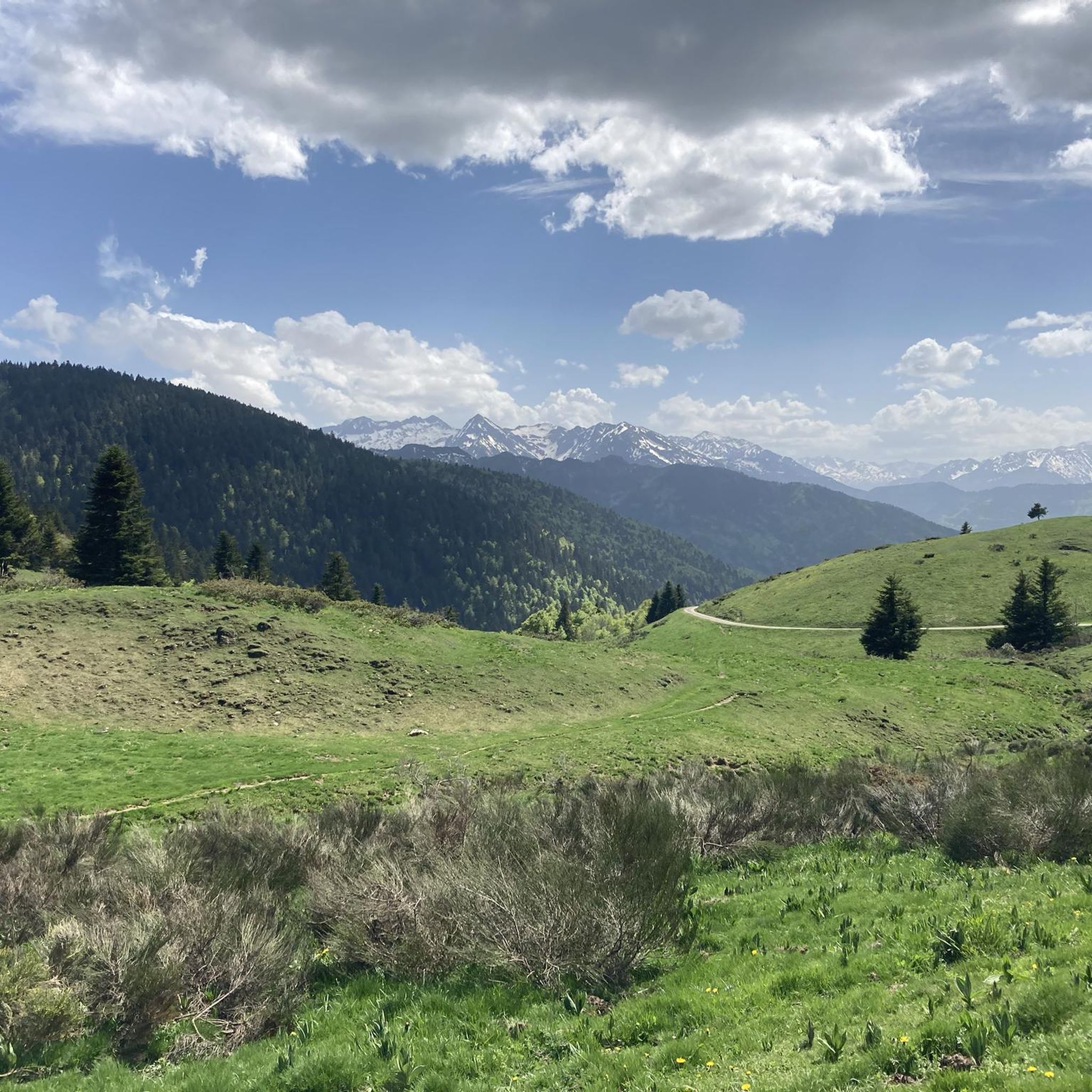
Mountaineering routes La Fajolle are situated in the Aude department of France's Occitanie region, at the edge of the Pyrenees. The area features a mountainous terrain with the village itself at 1,100 meters (3,600 feet) and surrounding peaks reaching up to 2,059 meters (6,755 feet). This high-altitude environment, part of the "Pays de Sault" plateau, offers significant vertical gain opportunities and challenging mountain treks. The Rébenty Valley, where La Fajolle is located, adds scenic beauty with its river carving through…
Last updated: July 8, 2026
2
hikers
8.55km
02:50
350m
360m
Moderate mountaineering route. Good fitness required. Mostly accessible paths. Sure-footedness required.
4.0
(1)
2
hikers
14.8km
04:48
620m
630m
Moderate mountaineering route. Good fitness required. Mostly accessible paths. Sure-footedness required.

Sign up for free
2.5
(2)
4
hikers
16.3km
05:55
780m
780m
Hard mountaineering route. Very good fitness required. Sure-footedness, sturdy shoes and alpine experience required.
2
hikers
13.5km
05:42
800m
810m
Hard mountaineering route. Very good fitness required. Sure-footedness, sturdy shoes and alpine experience required.
Our route recommendations are based on thousands of hikes, rides, and runs completed by other people on komoot.
Start today with a free account
Your next adventure awaits.
Login or Signup

Other adventures around La Fajolle

Tips from the Community

There are several fountains and public pools with pure thermal water to warm your feet after the descent.
0
0

Like the reflection of the sun on water, your eyes will sparkle with a thousand lights. A magnificent place, let's protect and share it
0
0

Château de Montaillou is a former fortified castle from the 13th century and overlooks the village and its surroundings
9
0
At approximately 1680 meters, it's the starting point for hikes, ski tours, and cycling. The highest point of this charming ski area is 1850 meters.
12
0
Château de Montaillou is a world-famous former fortified castle from the 13th century, the ruins of which were declared a monument by decree on December 21, 1984. The remains of the keep and the fortress are located on a hill overlooking
19
0

Nice relax and shower stop in the swimming pool by Parc de'Espagne. Also a hose to clean the bikes in park near the gondola lift entry.
0
0

Very good route to do in spring or summer
0
0

After rolling over various cols, Manier can hang out well
0
0
Frequently Asked Questions
How many mountaineering routes are available around La Fajolle?
There are several mountaineering routes around La Fajolle, offering a mix of moderate and difficult challenges. Our guide features five distinct routes, with two rated as moderate and three as difficult, catering to various experience levels.
What kind of terrain can I expect on mountaineering routes near La Fajolle?
Mountaineering routes near La Fajolle are characterized by significant mountainous terrain and high-altitude landscapes. The region is part of the 'Pays de Sault,' a heavily wooded plateau, and routes often involve substantial vertical gain. You'll traverse areas like the scenic Rébenty Valley, which carves through a high limestone plateau, offering a true mountain environment.
Are there any circular mountaineering routes in the La Fajolle area?
Yes, several routes in the La Fajolle area are circular, allowing you to start and end at the same point. For example, the Étang Bleu – Étang Noir loop from Port de Pailhères is a popular circular option exploring high-altitude lakes. Another is the Refuge d'En Beys loop from Le Fanguil-Chalet, which offers a challenging mountain experience.
What are some notable landmarks or viewpoints I can discover along the routes?
The routes around La Fajolle offer access to several significant natural features and viewpoints. You can explore mountain passes like Pailhères Pass and Pradel Pass. Summits such as Pic de Tarbesou and Pic du Midi de Roquefeuil offer expansive views. The dramatic Gorges de la Frau are also nearby.
What do other mountaineers say about the routes in La Fajolle?
The mountaineering routes around La Fajolle are highly regarded by the komoot community, holding an average rating of 4.5 stars from over 6 reviews. Mountaineers often praise the challenging nature of the trails and the stunning high-altitude Pyrenean views.
Are there any family-friendly mountaineering options near La Fajolle?
While many routes in La Fajolle are rated moderate to difficult, suggesting they are best for experienced trekkers, some moderate trails might be suitable for families with older children who are accustomed to strenuous hiking. For example, the Vallée d'Orgeix – Turbine centrale du Teich loop from Ax-les-Thermes is a moderate option that winds through a scenic valley.
Can I bring my dog on the mountaineering trails in La Fajolle?
The La Fajolle region is known for its natural beauty and ecological preservation. While specific regulations for dogs on every trail can vary, generally, dogs are welcome on many hiking trails in the Pyrenees, often on a leash. It's always best to check local signage or park regulations for specific routes like the Ax-les-Thermes loop from Ax-les-Thermes to ensure compliance.
What is the best time of year for mountaineering in La Fajolle?
The best time for mountaineering in La Fajolle is typically from late spring to early autumn (June to September). During this period, the weather is generally more stable, and trails are clear of snow, making high-altitude trekking more accessible. Early June also offers the unique cultural spectacle of the traditional 'transhumance,' when livestock are moved to higher pastures.
Are there any permits required for mountaineering in the La Fajolle area?
The commune of La Fajolle is dedicated to ecological preservation, with efforts to obtain 'Zéro phyto' and 'Terre Saine' labels. While specific permits for general mountaineering are not typically required for marked trails, it's always advisable to respect local regulations, especially if venturing into protected areas or nature reserves. There are no specific permits mentioned for the routes in this guide.
Is there parking available near the trailheads for mountaineering routes?
Yes, parking is generally available near the starting points of many mountaineering routes. For instance, routes like the Étang Bleu – Étang Noir loop typically start from areas like Port de Pailhères, which would have parking facilities. Similarly, routes originating from towns like Ax-les-Thermes or villages like Camurac (for the Quercourt Rock – Montaillou Castle loop) usually offer parking options.
Can I access La Fajolle and its mountaineering routes using public transport?
La Fajolle is a small, elevated village in a mountainous region, and direct public transport options might be limited. While nearby towns like Ax-les-Thermes may have better public transport links, reaching the specific trailheads around La Fajolle often requires personal vehicle access. It's recommended to check local bus schedules for the Aude department if planning to rely on public transport.
Are there any cafes or restaurants near the mountaineering routes in La Fajolle?
La Fajolle itself is a small village. While there might be limited amenities directly within the village, larger nearby towns like Ax-les-Thermes, which is a starting point for routes like the Vallée d'Orgeix – Turbine centrale du Teich loop, offer a wider selection of cafes and restaurants for pre- or post-hike refreshments.
Most popular attractions around La Fajolle

Get inspired with the komoot mobile app


Explore more
Browse the best Mountain Hikes & Routes in other regions.
