Top 5 Mountain Passes around Anzat-Le-Luguet
Best mountain passes near Anzat-Le-Luguet are situated in the Cézallier mountains, a region shaped by ancient volcanic activity and glacial erosion. This area features high-altitude pastures and notable passes that offer views of the surrounding landscape. The terrain consists of rounded, verdant summits, characteristic of the Auvergne Volcanic Regional Natural Park. It provides opportunities for exploring a landscape with volcanic traces and expansive panoramas.
Best mountain passes around Anzat-Le-Luguet
- The most popular mountain passes is Chamaroux Pass, a mountain…
Last updated: July 10, 2026
Volpilière Pass
Highlight • Viewpoint
Translated by Google •
Tip by

Col de Chamaroux
Highlight • Mountain Pass
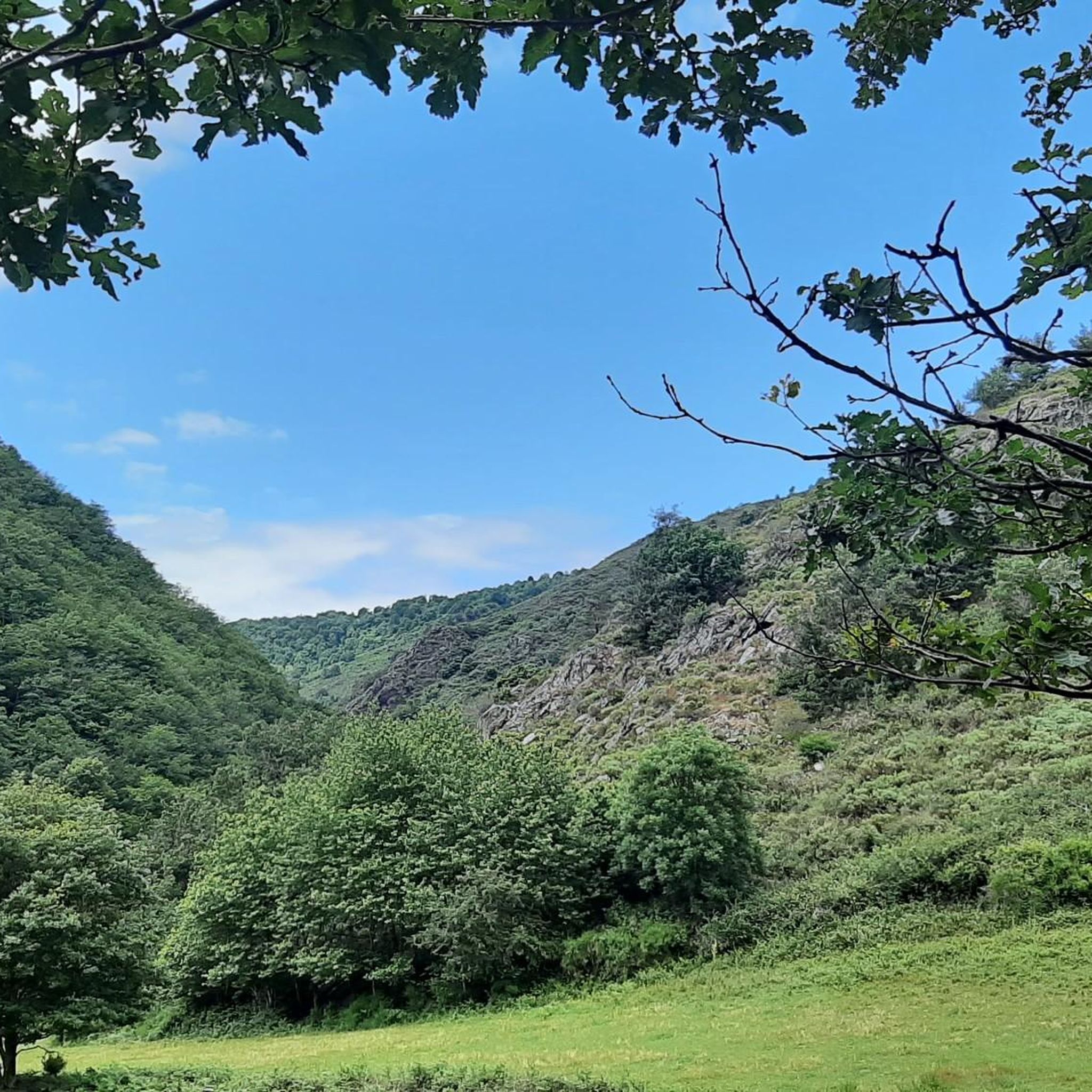
It is glaciers that planed this ancient volcanic massif, which takes you to Scotland and Mongolia, without you having to take a plane.
Translated by Google •
Tip by

Sign up now to discover places like this
Get recommendations on the best single tracks, peaks, & plenty of other exciting outdoor places.
Sign up for free
Col de Montgreleix (1238 m)
Highlight • Mountain Pass
Translated by Google •
Tip by
Chamaroux Pass
Highlight • Mountain Pass
Translated by Google •
Tip by

Col de Vestizoux (1317 m)
Highlight • Mountain Pass
Translated by Google •
Tip by
Sign up for free to discover even more mountain passes around Anzat-Le-Luguet.
Sign up for free
Already have an account?
Start today with a free account
Your next adventure awaits.
Login or Signup
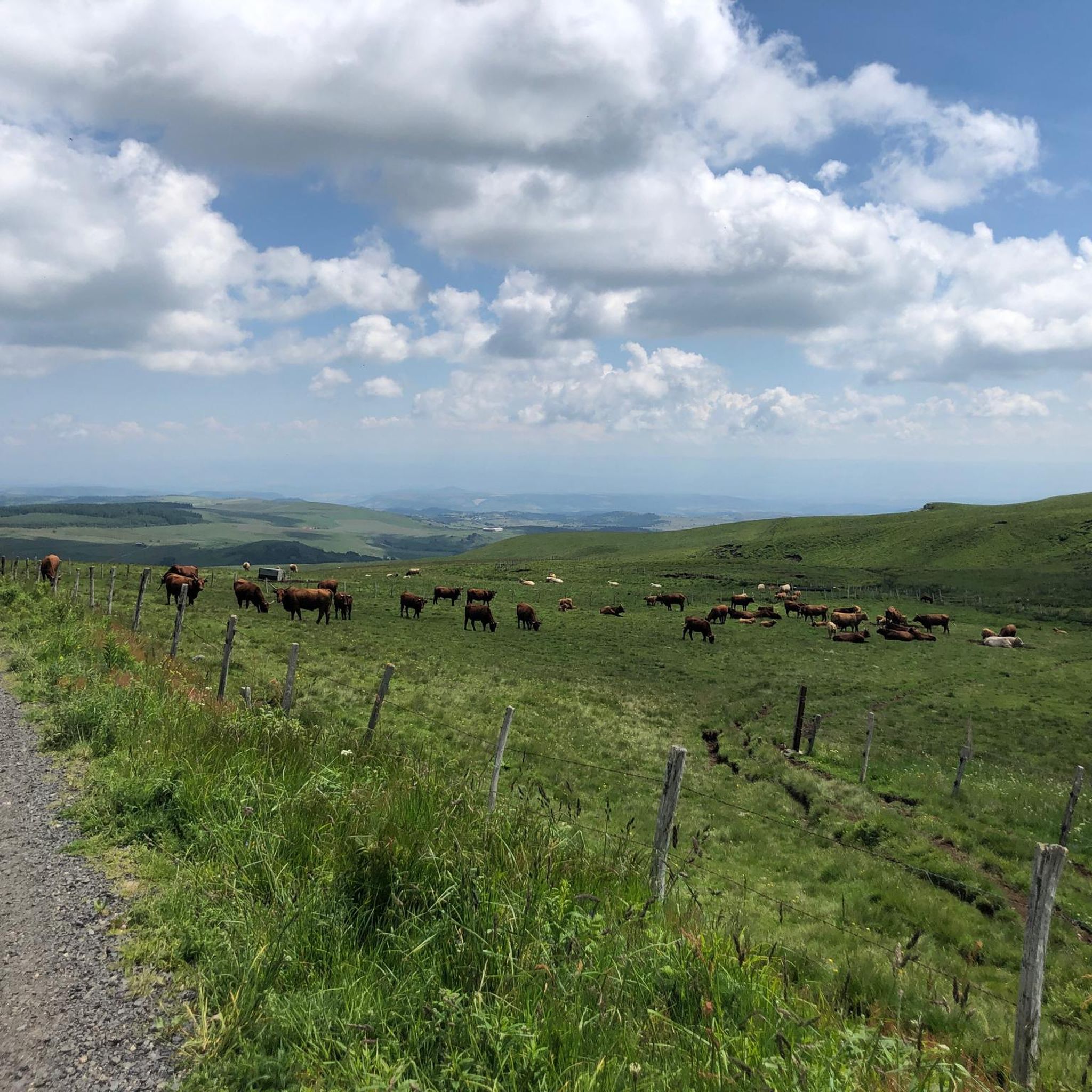
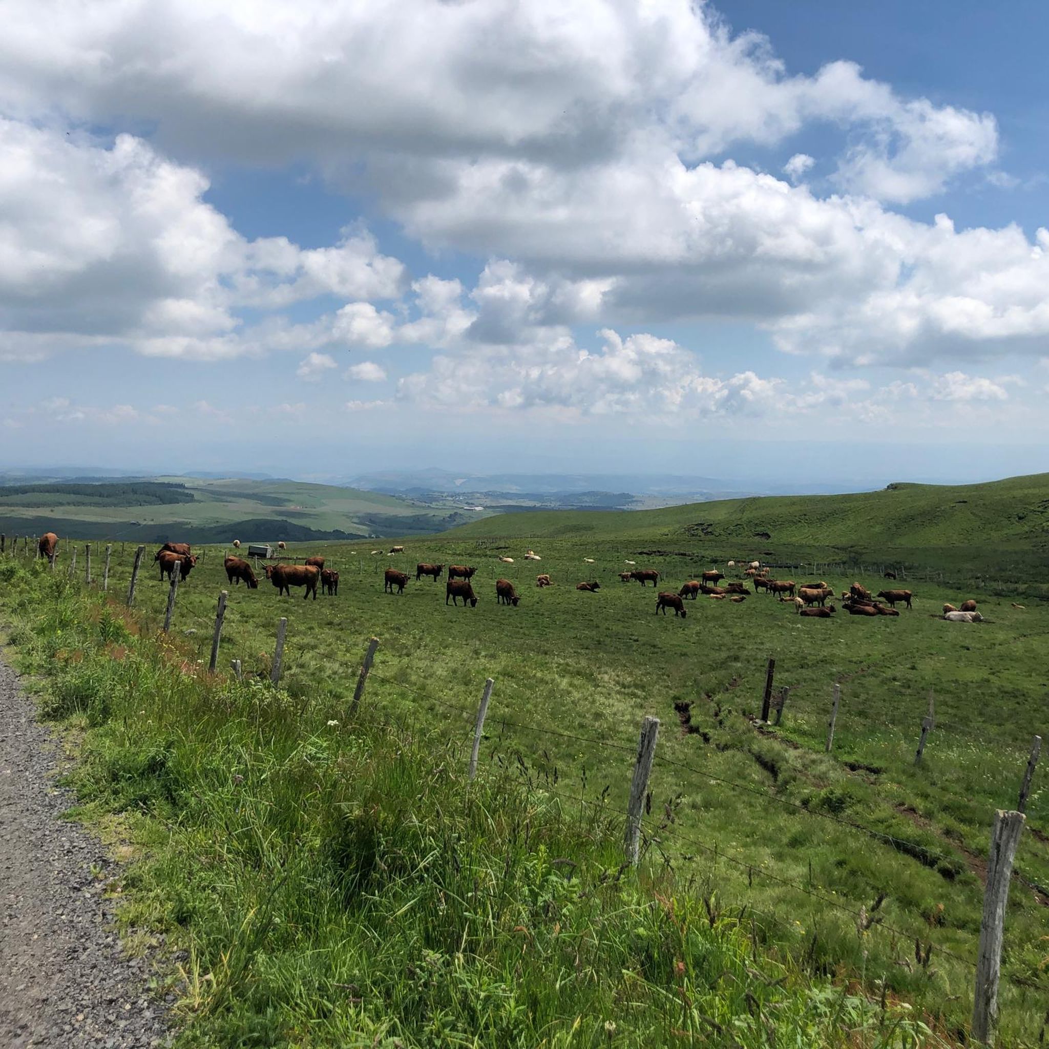
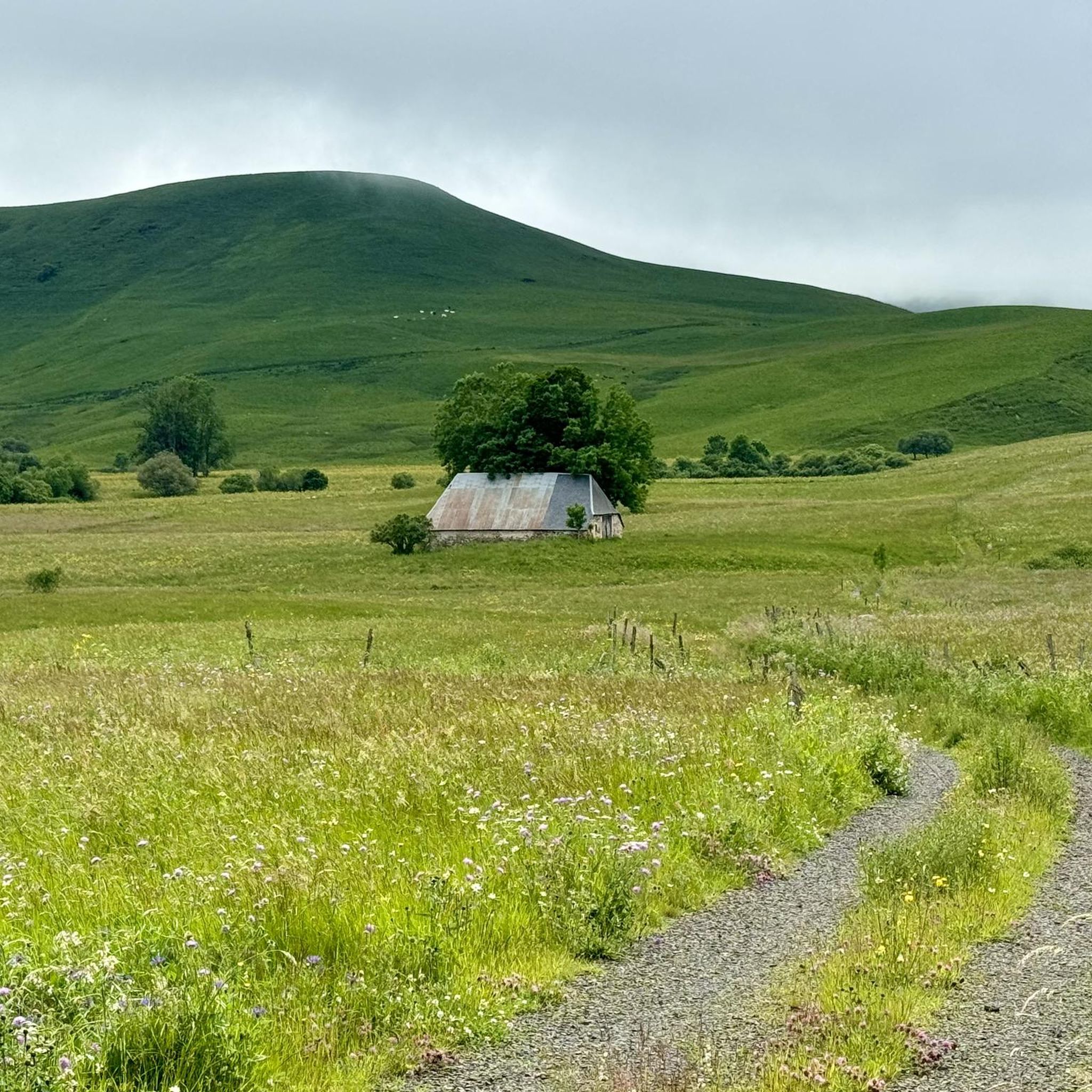
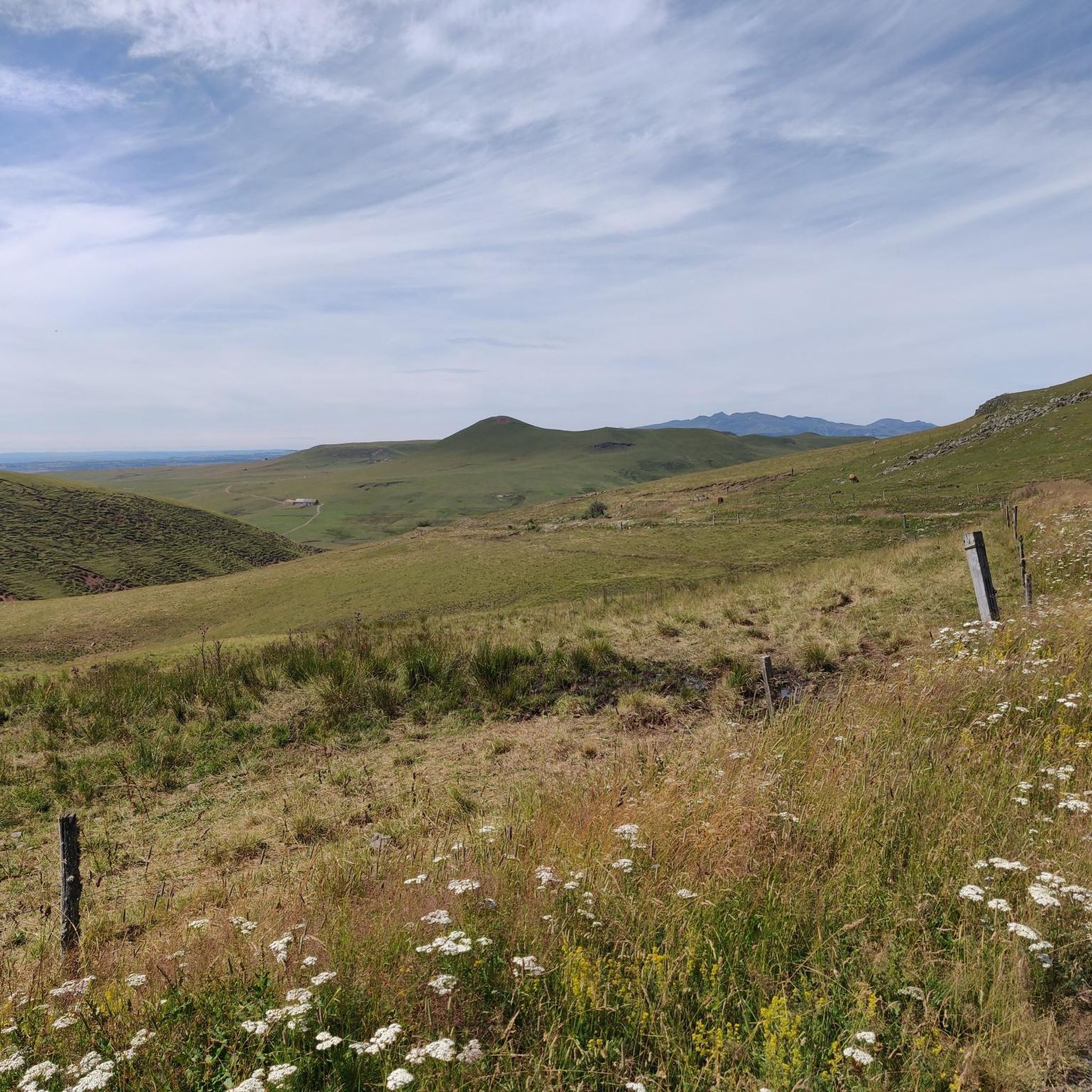
Tips from the Community

very pretty pass typical of Cezallier
1
0
Pleasant and fairly easy. Beautiful route.
0
0

Not too difficult, I did it on a mountain bike.
0
0

Beautiful Cézalier pass with a view of the Sancy massif
0
0

The Col de Chamaroux de Boutaresse is 2.6 km long with a total drop of 63 m. The average gradient is 2.4% with maximum gradients of 6.9%.
3
0

Car-free roads to fully enjoy a beautiful bike route
0
0

Located next to Saint Alyre Es Montagne, the top of the pass offers us a view of Le Mont Chabrut and Le Luguet. The highest point is 1227 meters above sea level. This climb is 16.6 kilometers long, for an elevation gain of 628 meters. Col de la Volpilière from Ardes has an average gradient of 3.8%.
0
0
Frequently Asked Questions
What natural features define the mountain passes around Anzat-Le-Luguet?
The mountain passes in the Cézallier region, near Anzat-Le-Luguet, are characterized by a landscape shaped by ancient volcanic activity and glacial erosion. You'll find rolling, high-altitude pastures, rounded, verdant summits, and traces of volcanic rock, such as the lava scoria visible near Col de Chamaroux. The area is part of the Auvergne Volcanic Regional Natural Park.
Which mountain passes offer the best panoramic views in the region?
For expansive views, the Col de Chamaroux offers exceptional panoramas of Mont Chamaroux and the Cézallier summer pastures. The area around the Signal du Luguet, while its summit is tree-covered, provides immense views over the Monts Dore, Monts du Sancy, Cantal, and Margeride. Volpilière Pass also provides views of Le Mont Chabrut, Le Luguet, and the Sancy massif.
What outdoor activities can I do near the mountain passes around Anzat-Le-Luguet?
The region offers a variety of outdoor activities. In summer, the passes are excellent starting points for numerous hikes and cycling routes. The Col de Chamaroux, for instance, is part of the GTMC route, suitable for gravel and touring bikes. In winter, it transforms into a pleasant cross-country skiing area. You can find many routes for hiking, cycling, and mountain biking in the area. For more details on routes, explore the hiking guide, cycling guide, and MTB trails guide for Anzat-Le-Luguet.
Are there hiking trails suitable for different fitness levels near these mountain passes?
Yes, the area around Anzat-Le-Luguet caters to various fitness levels. For example, several hiking trails lead to and around the Signal du Luguet, ranging from easy loops suitable for all to more challenging routes. The 'Tour des Vaches Rouges' is a notable multi-day hiking itinerary in the Cézallier. You can find specific routes like the easy 'Tour des Vaches Rouges: Saillant Loop' or the more challenging 'Trail Below Signal du Luguet – Signal du Luguet loop from Anzat-le-Luguet' in the hiking guide.
Which mountain passes are considered easy or moderate for cycling?
The Chamaroux Pass is noted for its quiet roads and is not too difficult, with an average gradient of 2.4%. Col de Vestizoux (1317 m), the highest road pass in Cézallier, is also considered not very difficult for cyclists, with climbs like 2 kilometers at 4.6% or 6.5 kilometers at 2.7% depending on the approach. Volpilière Pass has an average gradient of 3.8% from Ardes, making it a pleasant and fairly easy ride.
What is the best time to visit the mountain passes around Anzat-Le-Luguet?
The best time to visit depends on your preferred activities. Summer is ideal for hiking, cycling, and enjoying the green pastures. During winter, the Col de Chamaroux area transforms into a pleasant cross-country skiing destination. The Cézallier region offers unique beauty throughout the seasons, but for general outdoor activities, late spring to early autumn is most popular.
Are there any challenging mountain routes for experienced cyclists or hikers?
Yes, for those seeking a challenge, the region offers several options. The climb to Col de Montgreleix (1238 m) from La Renordie is 3.9 kilometers long with an elevation gain of 245 meters and an average gradient of 6.3%. For hiking, routes like the 'Trail Below Signal du Luguet – Signal du Luguet loop from Anzat-le-Luguet' are classified as difficult. You can find more challenging routes in the cycling, MTB, and hiking guides.
What unique geological features can be observed in the Cézallier mountain passes?
The Cézallier region is a former stratovolcano, active 5 million years ago, with its landscape shaped by glaciations. Near the summit of Col de Chamaroux, you can see reddish-brown patches of lava scoria. The Signal du Luguet is also composed of volcanic rock. Below the Signal du Luguet lies the Cirque d'Artoux, one of the most beautiful glacial valleys in the Massif Central, where moraines from ancient glaciers are still visible.
Are the mountain passes around Anzat-Le-Luguet suitable for mountain biking?
Yes, several passes and routes in the area are suitable for mountain biking. The Chamaroux Pass is specifically mentioned as being suitable for mountain bikes, with quiet roads. The GTMC route near Col de Chamaroux is generally passable for gravel and touring bikes with sturdy tires. There are dedicated MTB trails around Anzat-Le-Luguet, including routes like 'La Godivelle – Chamaroux Pass loop from Montgreleix'.
What do visitors enjoy most about the mountain passes in Anzat-Le-Luguet?
Visitors appreciate the quiet roads, the beautiful scenery, and the sense of tranquility found in the Cézallier. Many highlight the pleasant and often easy nature of the passes for cycling, as well as the exceptional panoramic views. The unique volcanic landscape and the opportunity to enjoy car-free routes are also frequently mentioned as enjoyable aspects.
Is there a specific pass known for being the highest road pass in the Cézallier?
Yes, Col de Vestizoux (1317 m) is recognized as the highest road pass in the Cézallier. It is located in Puy-de-Dôme and offers a typical Cézallier experience.
Can I find multi-day hiking itineraries in the Cézallier region?
Yes, the Cézallier region is home to the 'Tour des Vaches Rouges' (Red Cows Route), a notable multi-day hiking itinerary. This route offers breathtaking views between the Cantal mountains and the Sancy massif, allowing for an immersive experience of the region's unique landscape.
Most popular routes around Anzat-Le-Luguet
Most popular attractions around Anzat-Le-Luguet

Get inspired with the komoot mobile app


Explore more
See even more epic mountain passes by checking out these guides around Anzat-Le-Luguet:
