The best road cycling routes around Anzat-Le-Luguet
4.6
(44)
1,061
riders
61
rides
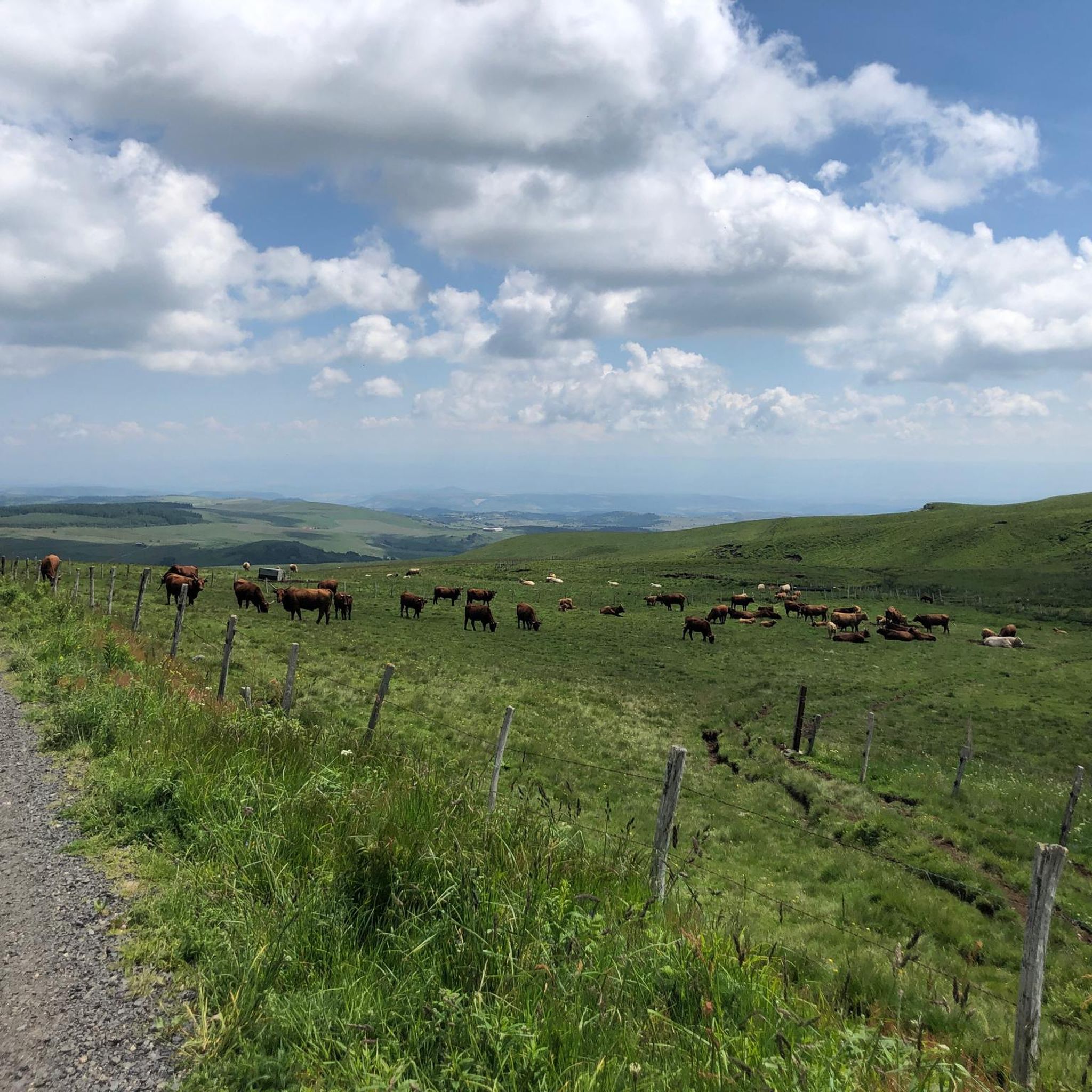
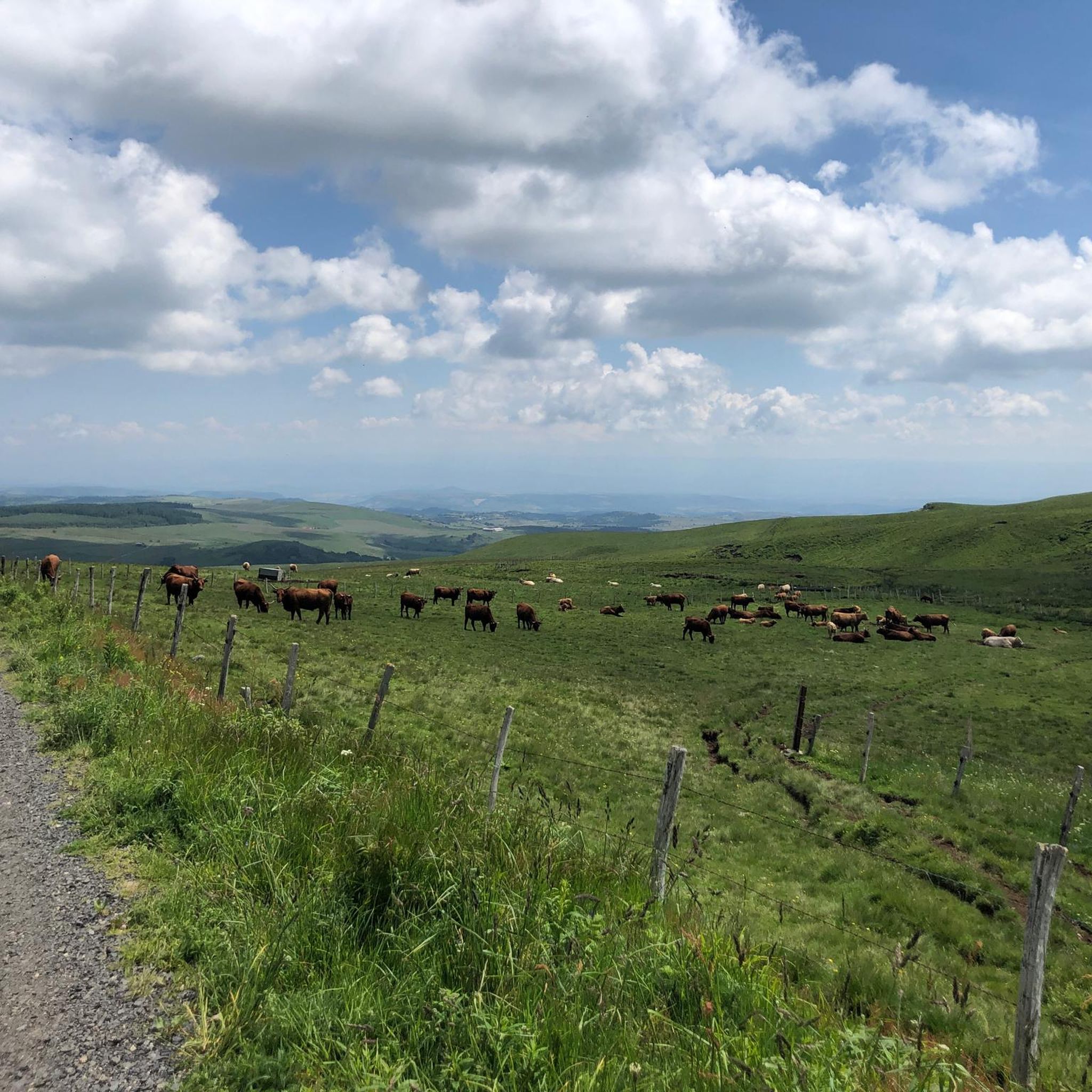
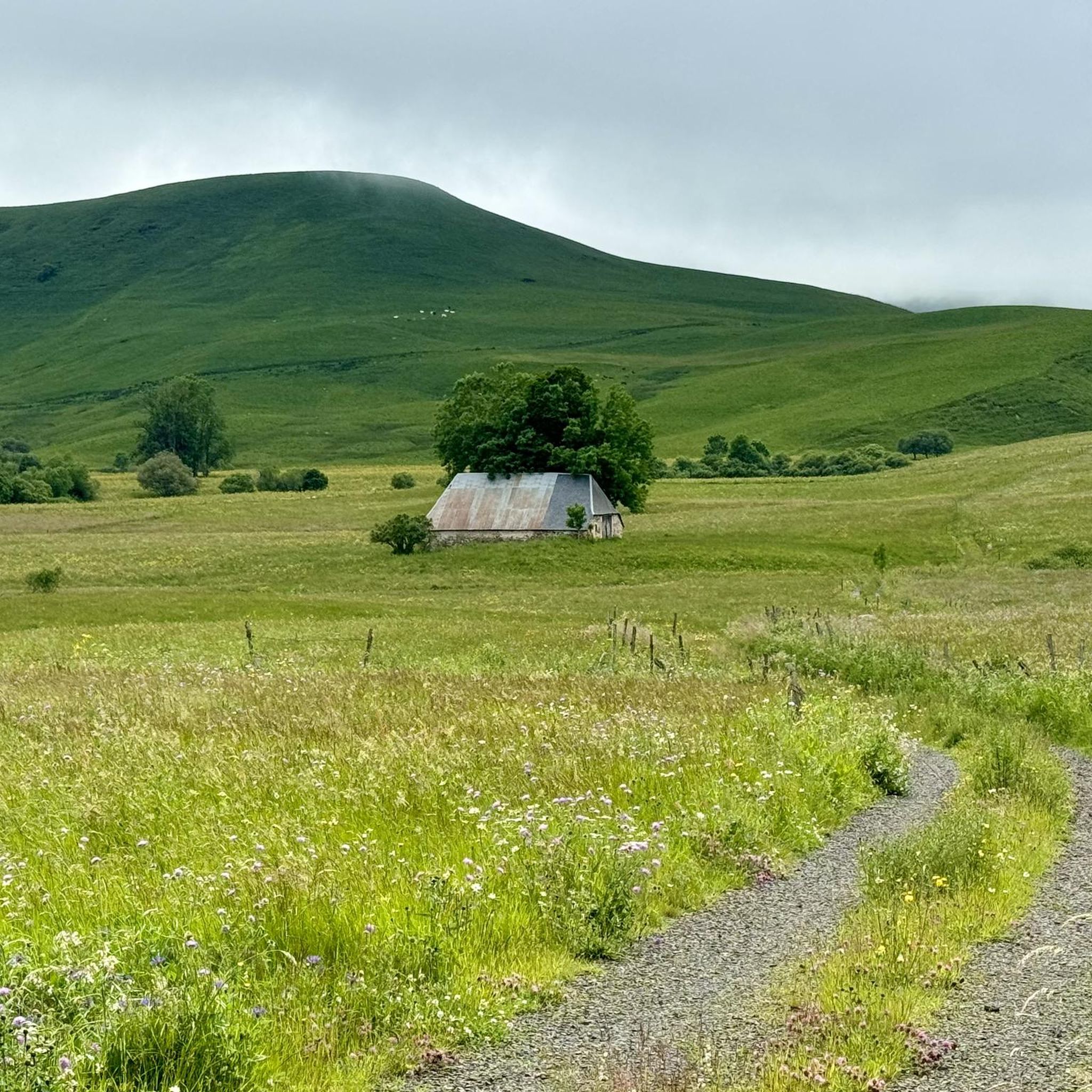
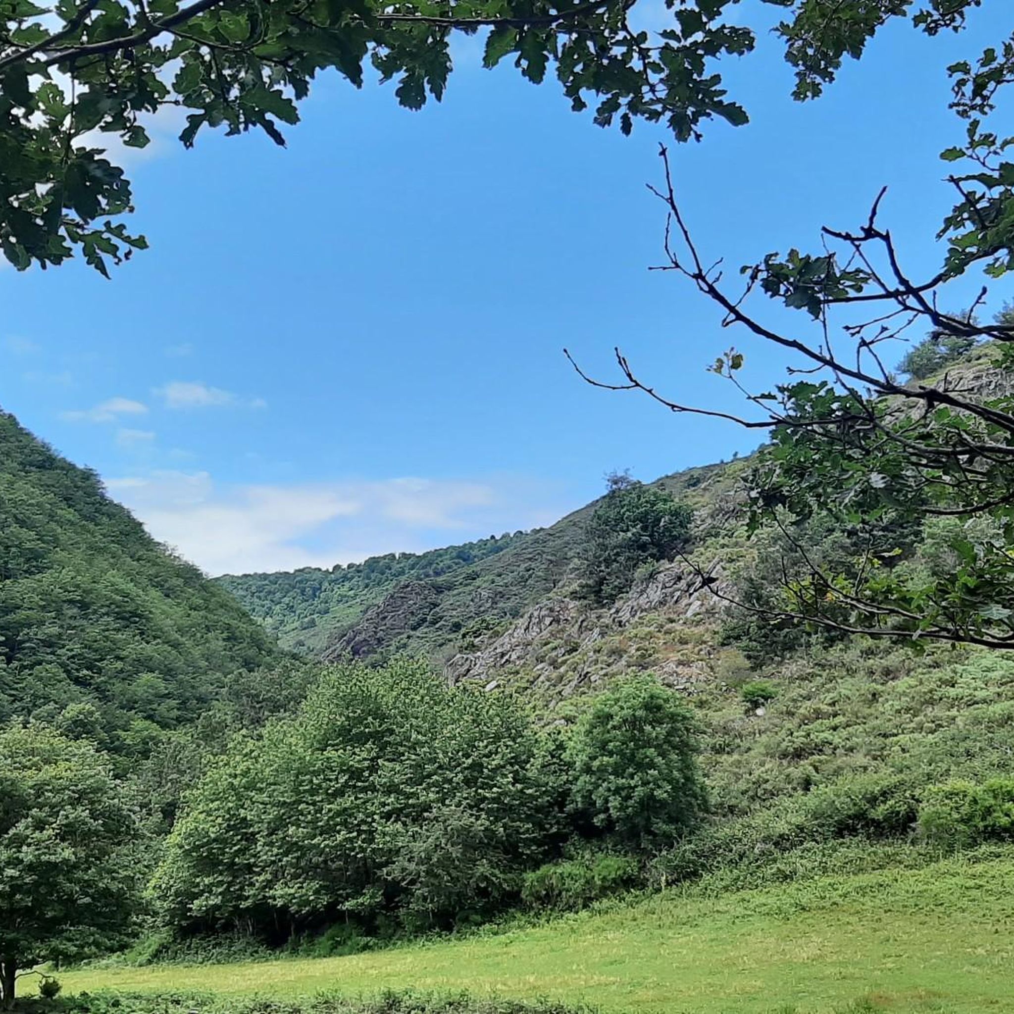
Road cycling around Anzat-Le-Luguet is characterized by its location within the Auvergne Volcanoes Regional Natural Park and on the Cézallier plateau. This region features a high volcanic plateau with an average altitude of 1000 meters, offering quiet, well-maintained roads and significant elevation changes. The terrain includes challenging climbs and rewarding descents, set amidst rolling green plains and summer pastures. The area provides extensive panoramic views across the Sancy and Cantal mountains.
Best road cycling routes around Anzat-Le-Luguet
- The most popular road cycling route is Volpilière Pass – Lake Bourdouze loop from Anzat-le-Luguet, a 107.5 miles (173.0 km) trail that takes 8 hours 51 minutes to complete. This difficult route features substantial climbs and scenic views of the volcanic landscape.
- Another top favourite among local road cyclists is La Godivelle – Chamaroux Pass loop from La Godivelle, a moderate 20.3 miles (32.6 km) path. This route offers views of the Cézallier plateau and passes by the lakes near La Godivelle.
- Local road cyclists also love the Chanusclade Pass – View of Anzat le Luguet loop from Vèze, a 34.1 miles (54.9 km) trail leading through the Cézallier plateau, often completed in about 2 hours 53 minutes.
- Road cycling around Anzat-Le-Luguet is defined by its volcanic plateaus, challenging cols, and quiet, scenic roads. The network offers options for easy, moderate, and difficult routes, catering to various ability levels.
- The routes in Anzat-Le-Luguet are highly rated by the komoot community with an average score of 4.6 stars from over 39 reviews. More than 900 road cyclists have used komoot to explore Anzat-Le-Luguet's varied terrain.
Last updated: July 15, 2026
5.0
(1)
163
riders
173km
08:51
3,060m
3,070m
Hard road ride. Very good fitness required. Mostly well-paved surfaces and easy to ride.
5.0
(2)
24
riders
32.7km
01:37
530m
530m
Moderate road ride. Good fitness required. Mostly well-paved surfaces and easy to ride.

Sign up for free
4.3
(4)
22
riders
56.8km
03:02
1,070m
1,070m
Hard road ride. Very good fitness required. Mostly well-paved surfaces and easy to ride.
9
riders
77.2km
03:57
1,230m
1,230m
Hard road ride. Very good fitness required. Mostly well-paved surfaces and easy to ride.
5.0
(1)
8
riders
22.8km
01:10
370m
370m
Moderate road ride. Good fitness required. Some segments of this route may be unpaved and difficult to ride.
Get access to more routes and recommendations from other explorers.
Sign up for free
Already have an account?
Our route recommendations are based on thousands of hikes, rides, and runs completed by other people on komoot.
Start today with a free account
Your next adventure awaits.
Login or Signup
Tips from the Community


Pleasant and fairly easy. Beautiful route.
0
0

Why didn't you make the Luguet signal? You have to go through Parrot... a place called. After the GR path... to the Luguet woods.
0
0
Not too difficult, I did it on a mountain bike.
0
0
Magnificent scenery on quiet roads. A must-do!
0
0

It is worth stopping at this viewpoint, the view is magnificent
0
0

Frequently Asked Questions
What kind of terrain can I expect when road cycling around Anzat-Le-Luguet?
Road cycling in this region, situated within the Auvergne Volcanoes Regional Natural Park and on the Cézallier plateau, features a high volcanic plateau with an average altitude of 1000 meters. You'll encounter quiet, well-maintained roads, significant elevation changes, challenging climbs, and rewarding descents amidst rolling green plains and summer pastures. The area is known for its remote feel and extensive panoramic views.
How many road cycling routes are available in the Anzat-Le-Luguet area?
There are over 50 road cycling routes available around Anzat-Le-Luguet, offering a wide range of options for different skill levels. The komoot community has explored 59 routes in total.
Are there any easy road cycling routes for beginners or less experienced cyclists?
While the region is known for its challenging terrain, there are a few routes suitable for beginners. You can find 2 easy routes, alongside 30 moderate and 27 difficult options, ensuring there's something for every ability.
What makes road cycling in Anzat-Le-Luguet challenging?
The challenging nature of road cycling here comes from the significant elevation changes and numerous cols (mountain passes) throughout the Massif Central. The Cézallier plateau itself features beautiful climbs with varying gradients, making it ideal for experienced cyclists seeking strenuous activity. Many routes, like the Volpilière Pass – Lake Bourdouze loop from Anzat-le-Luguet, involve substantial climbs.
Are there any circular road cycling routes in the area?
Yes, many of the routes around Anzat-Le-Luguet are designed as loops. For instance, the La Godivelle – Chamaroux Pass loop from La Godivelle and the Chanusclade Pass – View of Anzat le Luguet loop from Vèze are popular circular options that allow you to start and end in the same location.
What scenic viewpoints can I discover along the road cycling routes?
The region offers extensive panoramic views, especially from the Cézallier plateau. You can enjoy breathtaking vistas across the Sancy and Cantal mountains. A notable viewpoint is the View of Mont Chamaroux and the Cézallier mountains. Many routes also pass over cols like Volpilière Pass and Col de Chamaroux, which often provide stunning outlooks.
Are there any waterfalls or natural features to see while cycling?
Yes, the region is home to picturesque waterfalls. The Cascade des Veyrines, accessible via wooden stairs, is an ideal spot for a break and breaks the uniformity of the Cézallier plateaus. You might also encounter the Saillant Waterfall. Additionally, routes often pass by lakes, such as those near La Godivelle.
Are there any historical or cultural sites to visit near the cycling routes?
Absolutely. Just 10 km from Anzat-Le-Luguet, you can visit Blesle, recognized as one of France's 'Most Beautiful Villages' with numerous historical sites. Near the Cascade des Veyrines, an archaeological dig has uncovered a Gallo-Roman sanctuary, offering a glimpse into the region's ancient history.
What do other road cyclists enjoy most about road cycling in Anzat-Le-Luguet?
The area is highly rated by the komoot community, with an average score of 4.6 stars from over 39 reviews. Cyclists often praise the quiet, well-maintained roads, the challenging climbs, and the stunning panoramic views across the volcanic landscapes of the Cézallier plateau and the Auvergne Volcanoes Regional Natural Park.
Is there a specific route that showcases the Cézallier plateau?
Yes, the Cézallier plateau is a defining feature of the region. The 'Circuit cyclo/vélo route n°11: Le Cézallier' is a well-known difficult cycling loop that starts from Ardes and leads onto the volcanic plateau, offering extensive views of the Val d'Allier, Sancy, Chaîne des Puys, Livradois Forez, and Cantal. You can find more information about this route on the Puy-de-Dôme Tourisme website.
What is the best time of year for road cycling in Anzat-Le-Luguet?
The region is ideal for road cycling during the warmer months, typically from late spring to early autumn. This period offers the most favorable weather conditions for tackling the significant elevation changes and enjoying the panoramic views across the high volcanic plateau. The summer pastures are particularly beautiful during this time.
Are there any routes that pass by lakes?
Yes, some routes incorporate the region's lakes into their scenic paths. For example, the La Godivelle – Chamaroux Pass loop from La Godivelle offers views of the Cézallier plateau and passes by the lakes near La Godivelle, providing a refreshing element to your ride.
Most popular routes around Anzat-Le-Luguet
Most popular attractions around Anzat-Le-Luguet

Get inspired with the komoot mobile app


Explore more
Browse the best Road cycling routes in other regions.
