The best MTB trails around Sargé-Sur-Braye
5.0
(9)
57
riders
12
rides
Mountain biking around Sargé-Sur-Braye offers diverse terrain within France's Centre-Val de Loire region. The area is characterized by a varied topography of valleys, hills, and plateaus, with approximately 65% of its territory covered by forests. The Braye and Grenne rivers flow through the commune, providing scenic routes. Riders can encounter the distinctive "roussard" sandstone, a local geological feature used in village heritage, along many routes.
Best mountain bike trails around Sargé-Sur-Braye
- The most popular mountain bike trail is Manoir de la Béchuère – Château de Saint-Calais loop from La Chapelle-Huon, a 23.3 miles (37.5 km) trail that takes 2 hours 39 minutes to complete. This moderate route explores the varied landscapes of the Perche natural region.
- Another top favourite among local mountain bikers is Taillefer Waterway loop from Valennes, a moderate 35.8 miles (57.7 km) path. This route follows the Taillefer Waterway, offering views of the local rivers and cultivated hillsides.
- Local mountain bikers also love the Tour de Mondoubleau loop from Saint-Agil, a 23.6 miles (37.9 km) trail leading through forested areas and past historic sites, often completed in about 2 hours 31 minutes.
- Mountain biking around Sargé-Sur-Braye is defined by green valleys, dense forests, and rolling hills, with routes that often feature the unique roussard sandstone. The network offers options for different ability levels, from easy greenways to more challenging moderate trails.
- The routes in Sargé-Sur-Braye are highly rated by the komoot community with an average score of 5.0 stars from over 6 reviews. More than 48 mountain bikers have used komoot to explore Sargé-Sur-Braye's varied terrain.
Last updated: July 6, 2026
5.0
(3)
9
riders
Moderate mountain bike ride. Good fitness required. Suitable for all skill levels.
5.0
(1)
4
riders
Moderate mountain bike ride. Good fitness required. Suitable for all skill levels.

Sign up for free
3
riders
57.7km
04:03
540m
540m
Moderate mountain bike ride. Good fitness required. Suitable for all skill levels.
5
riders
37.9km
02:31
360m
360m
Moderate mountain bike ride. Good fitness required. Advanced riding skills necessary.
6
riders
46.9km
03:09
450m
450m
Moderate mountain bike ride. Good fitness required. Suitable for all skill levels.
Get access to more routes and recommendations from other explorers.
Sign up for free
Already have an account?
Our route recommendations are based on thousands of hikes, rides, and runs completed by other people on komoot.
Start today with a free account
Your next adventure awaits.
Login or Signup
Tips from the Community

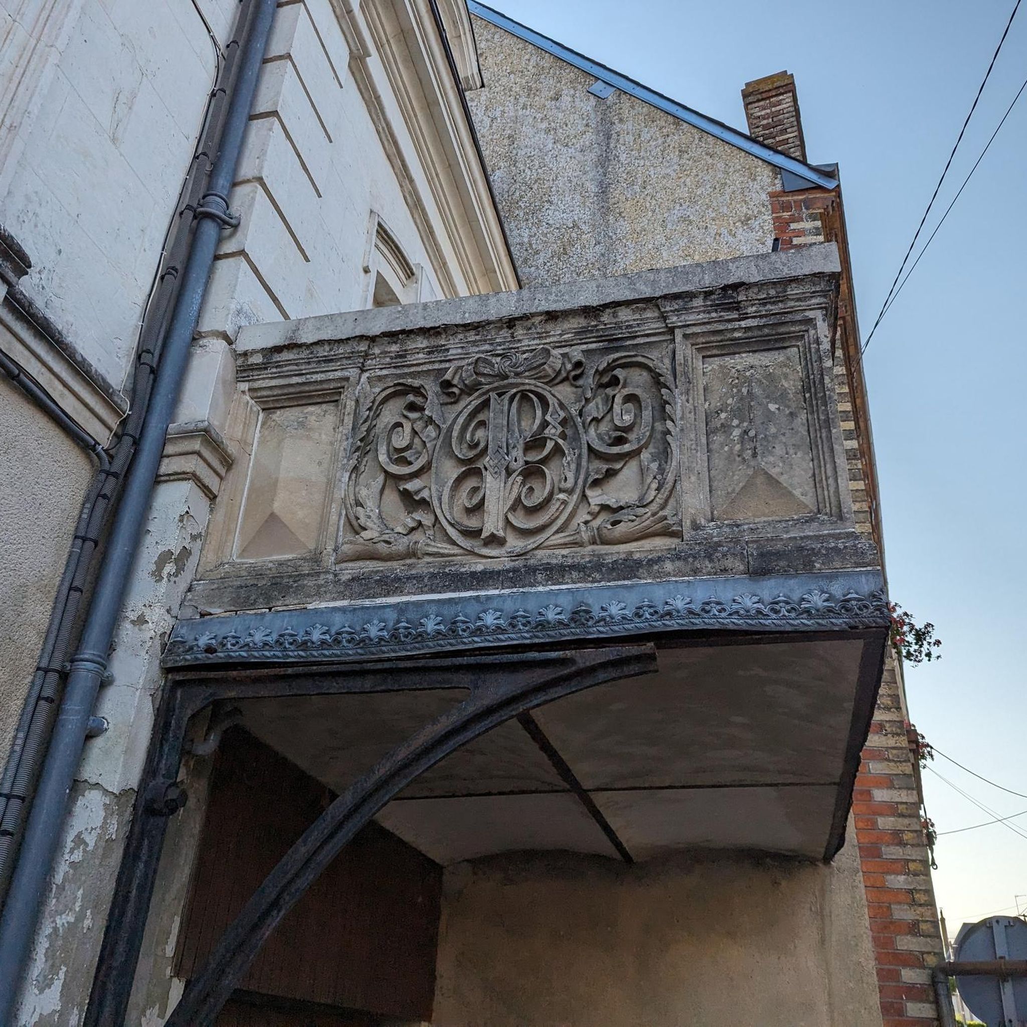
The Loir gives this city an undeniable charm. The river crosses the city in several places, inviting you to stroll. Known for its numerous flea markets, La Charte-sur-Loir was also sung about by the poet Ronsard during the 16th century.
1
1
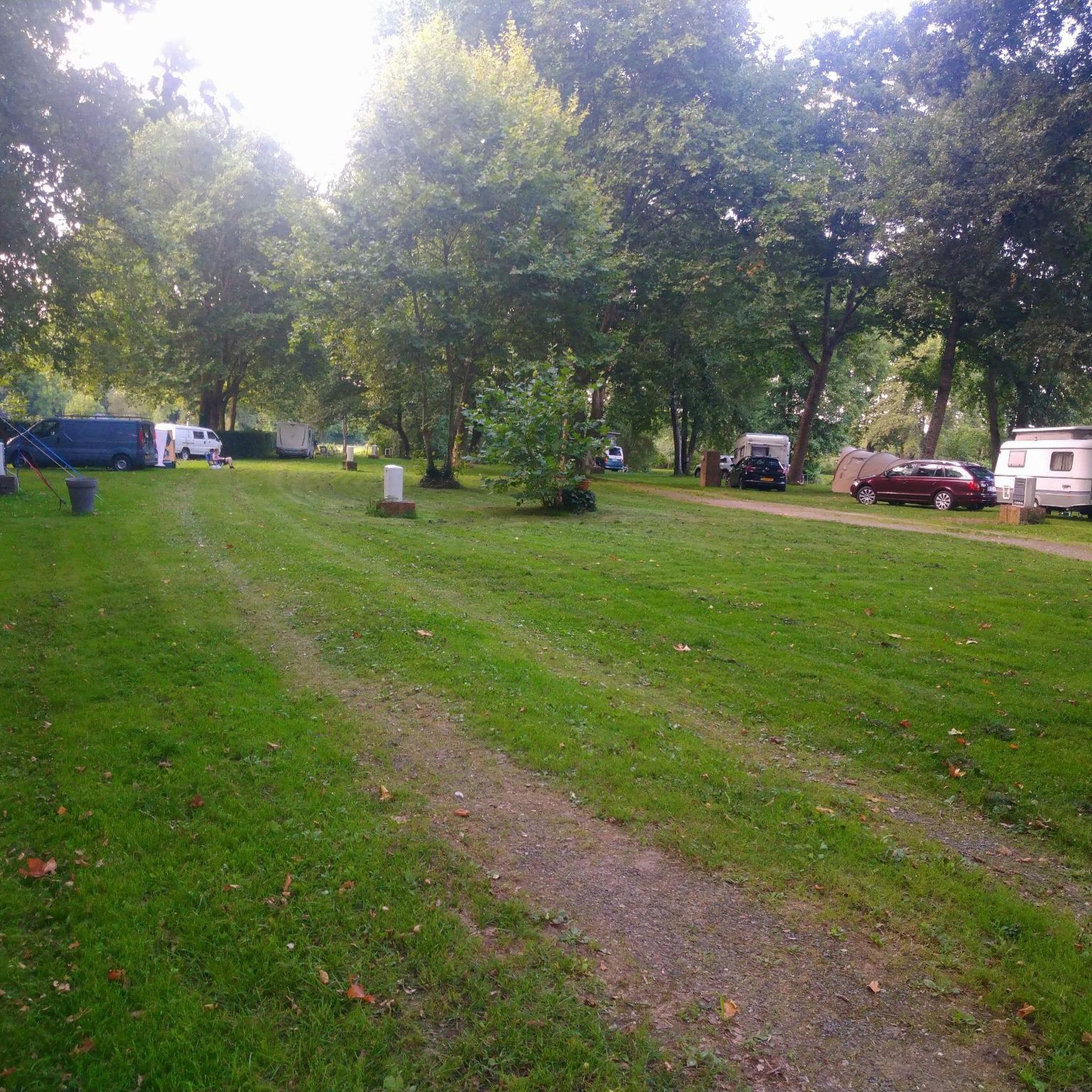
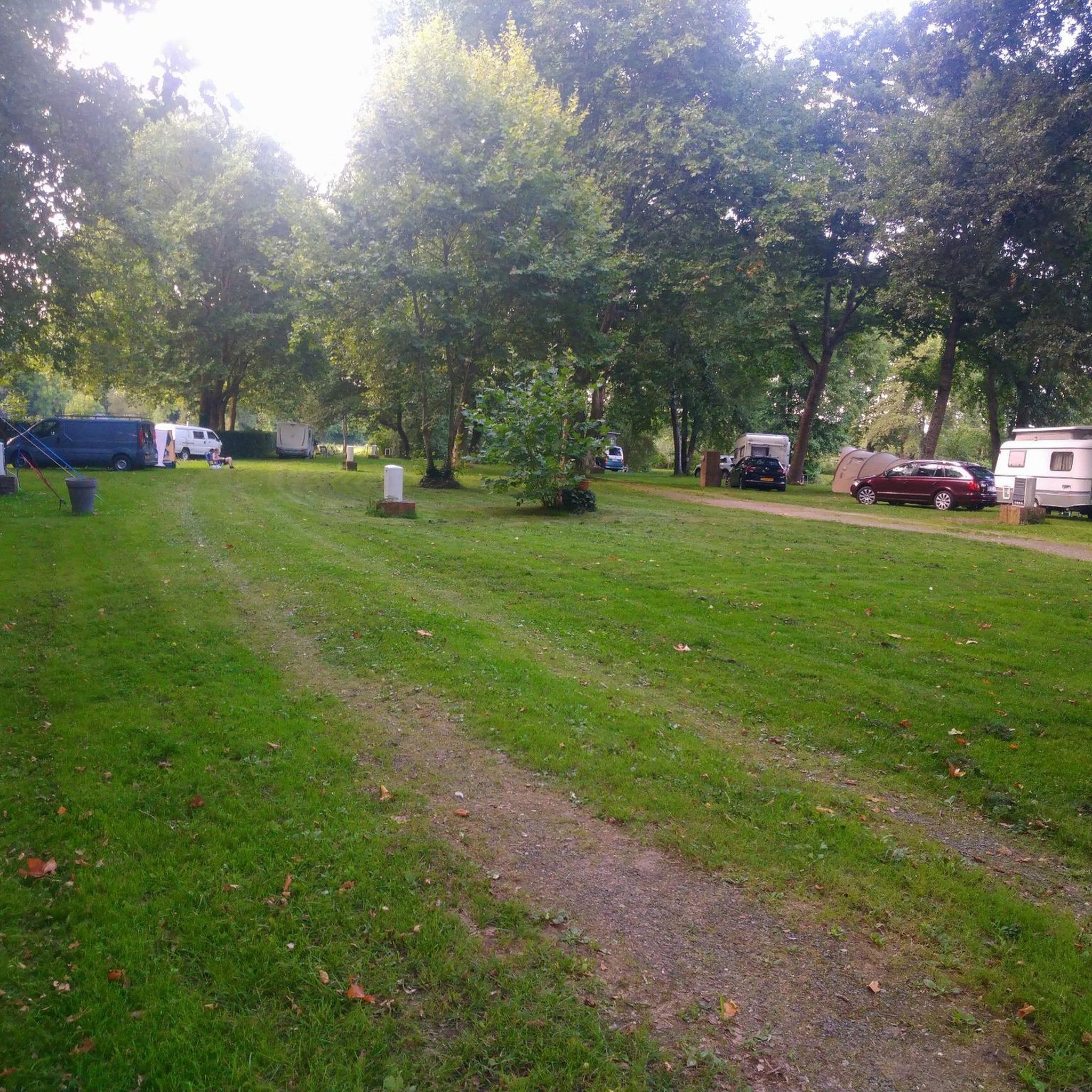
Located in Sarthe on the banks of the Loir, this charming locality has a campsite to welcome visitors.
0
0

discover 15 flea markets and more than 20 laundries and ultra nice city center on weekends
0
0
Frequently Asked Questions
How many mountain bike trails are available around Sargé-Sur-Braye?
There are 14 mountain bike trails available around Sargé-Sur-Braye. These routes offer a variety of experiences through the region's diverse landscapes.
What is the general difficulty level of mountain bike trails in Sargé-Sur-Braye?
The mountain bike trails around Sargé-Sur-Braye primarily feature moderate difficulty. Out of 14 routes, 13 are rated as moderate, and there is one easy trail. This indicates a good balance for riders with some experience, while still offering options for beginners.
Are there any family-friendly mountain bike trails in Sargé-Sur-Braye?
Yes, there is one easy mountain bike trail available, making it suitable for families or those looking for a more relaxed ride. The region's varied terrain, including a 'voie douce' (greenway) along a former railway line in the Braye Valley, also offers gentler cycling experiences.
What kind of terrain can I expect on the mountain bike trails around Sargé-Sur-Braye?
You can expect a varied topography of valleys, hills, and plateaus, with approximately 65% of the territory covered by forests. Trails often wind along the Braye and Grenne rivers, through cultivated hillsides, and deep into dense woodlands. A distinctive feature is the 'roussard' sandstone, recognizable by its pink or rust color, which you'll encounter along many routes.
Are there any circular mountain bike routes in the area?
Yes, many of the mountain bike routes around Sargé-Sur-Braye are designed as loops. Examples include the Manoir de la Béchuère – Château de Saint-Calais loop from La Chapelle-Huon, the Taillefer Waterway loop from Valennes, and the Tour de Mondoubleau loop from Saint-Agil, offering convenient starting and ending points.
What landmarks or points of interest can I see along the mountain bike trails?
While riding, you might encounter historical sites and natural features. The local 'roussard' sandstone, used in village heritage, is a common sight. You can also find churches like Saint Fiacre Church or Notre-Dame Church, and the Ruins of Guériteau Chapel. The 'carrière de la Mutte,' an ochre quarry, also offers a unique landscape.
What is the best time of year for mountain biking in Sargé-Sur-Braye?
The Perche natural region, where Sargé-Sur-Braye is located, is well-suited for cycling throughout much of the year. Spring and autumn generally offer pleasant temperatures and beautiful scenery with lush greenery or vibrant fall colors. Summer can also be enjoyable, especially when riding through the extensive forested areas that provide shade.
Are dogs allowed on the mountain bike trails?
While specific regulations for dogs on these mountain bike trails are not detailed, it's generally advisable to keep dogs on a leash, especially in forested areas or near cultivated land, to protect wildlife and respect other trail users. Always ensure your dog is well-behaved and that you clean up after them.
Where can I find parking for mountain bike trails in Sargé-Sur-Braye?
Many of the routes around Sargé-Sur-Braye are loops that start from villages like La Chapelle-Huon, Valennes, Saint-Agil, or Mondoubleau. These villages typically offer public parking facilities where you can leave your vehicle before starting your ride. Specific parking details are often available on individual route pages.
What do other mountain bikers enjoy most about mountain biking in Sargé-Sur-Braye?
The mountain bike trails around Sargé-Sur-Braye are highly rated by the komoot community, with an average score of 5.0 stars from over 6 reviews. Riders often praise the varied terrain, the scenic routes along rivers and through dense forests, and the opportunity to experience the unique 'roussard' sandstone landscape.
Are there any routes that follow waterways?
Yes, the Braye and Grenne rivers flow through the area, and several routes incorporate these scenic waterways. For example, the Taillefer Waterway loop from Valennes and the Taillefer Waterway loop from Sargé-sur-Braye offer views of the local rivers and cultivated hillsides.
Can I access the trails using public transport?
Sargé-Sur-Braye is a rural commune, and public transport options directly to trailheads might be limited. It is generally recommended to travel by car to reach the starting points of the mountain bike routes in the surrounding villages. For more relaxed cycling, a 'voie douce' (greenway) connects Sargé-sur-Braye to Mondoubleau, which might be accessible via local bus services if available.
Most popular attractions around Sargé-Sur-Braye

Get inspired with the komoot mobile app


Explore more
Browse the best MTB trails in other regions.
