The best mountain hikes around Mégevette
4.5
(15)
85
hikers
19
hikes
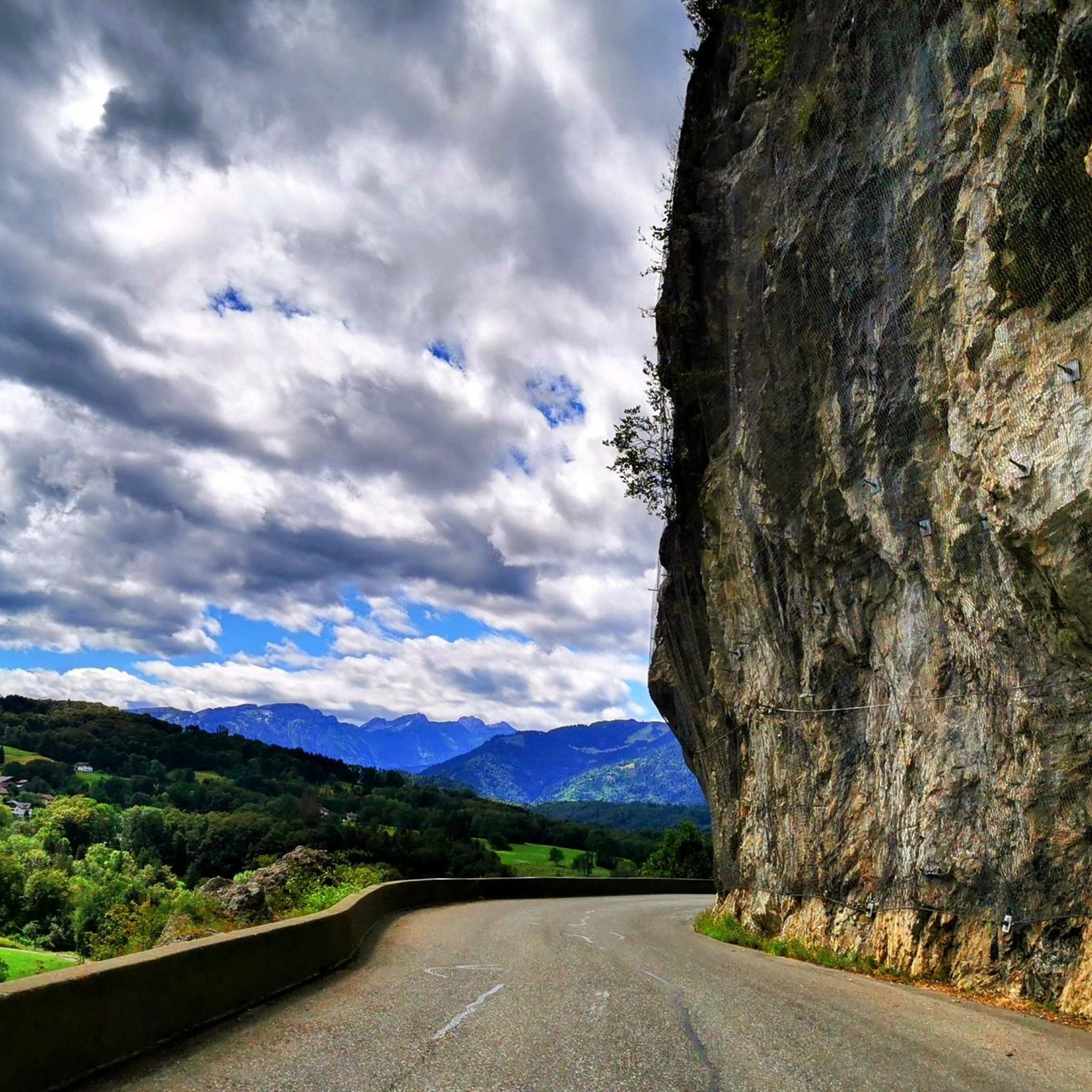
Mountaineering routes around Mégevette are situated in the Haute-Savoie department of France, within the upper Risse valley. The region is characterized by a dramatic alpine landscape, with altitudes varying between 850 and 1,768 meters. It is surrounded by prominent peaks such as Montagne d'Hirmentaz, Pointe de Miribel, Tête des Follys, and Pointe des Jottis, which form the foothills of the Roc d'Enfer. This terrain offers diverse opportunities for mountaineering.
Best mountaineering routes around Mégevette
- The most popular mountaineering route is…
Last updated: July 6, 2026
13
hikers
7.56km
02:58
530m
530m
Moderate mountaineering route. Good fitness required. Easily-accessible paths. Suitable for all skill levels.
4.3
(3)
14
hikers
13.0km
04:40
740m
740m
Moderate mountaineering route. Good fitness required. Easily-accessible paths. Suitable for all skill levels.

Sign up for free
5.0
(2)
8
hikers
7.65km
03:13
490m
490m
Moderate mountaineering route. Good fitness required. Mostly accessible paths. Sure-footedness required.
6
hikers
8.52km
03:13
470m
470m
Moderate mountaineering route. Good fitness required. Mostly accessible paths. Sure-footedness required.
5.0
(2)
5
hikers
8.33km
03:45
560m
560m
Moderate mountaineering route. Good fitness required. Mostly accessible paths. Sure-footedness required.
Get access to more routes and recommendations from other explorers.
Sign up for free
Already have an account?
Our route recommendations are based on thousands of hikes, rides, and runs completed by other people on komoot.
Start today with a free account
Your next adventure awaits.
Login or Signup
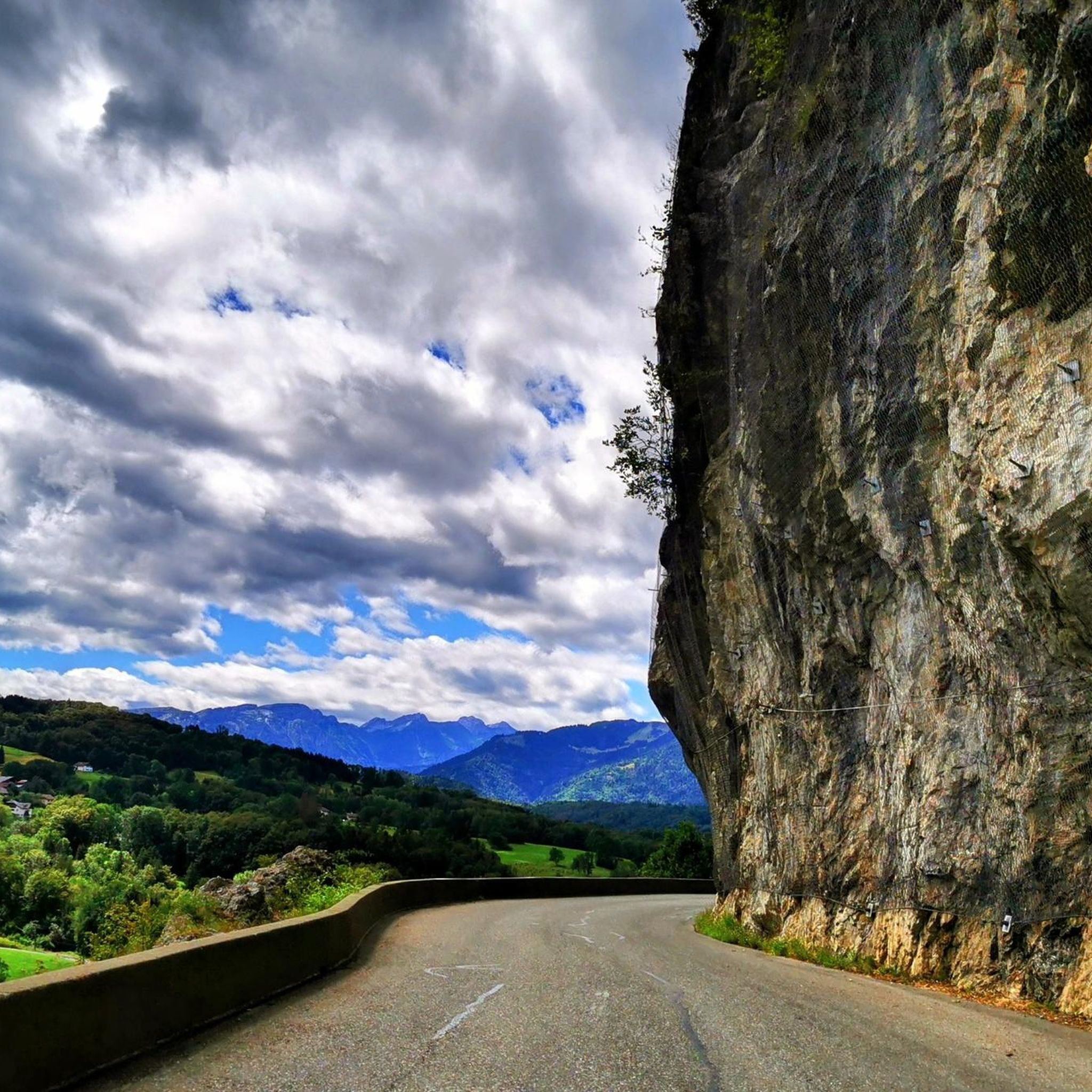
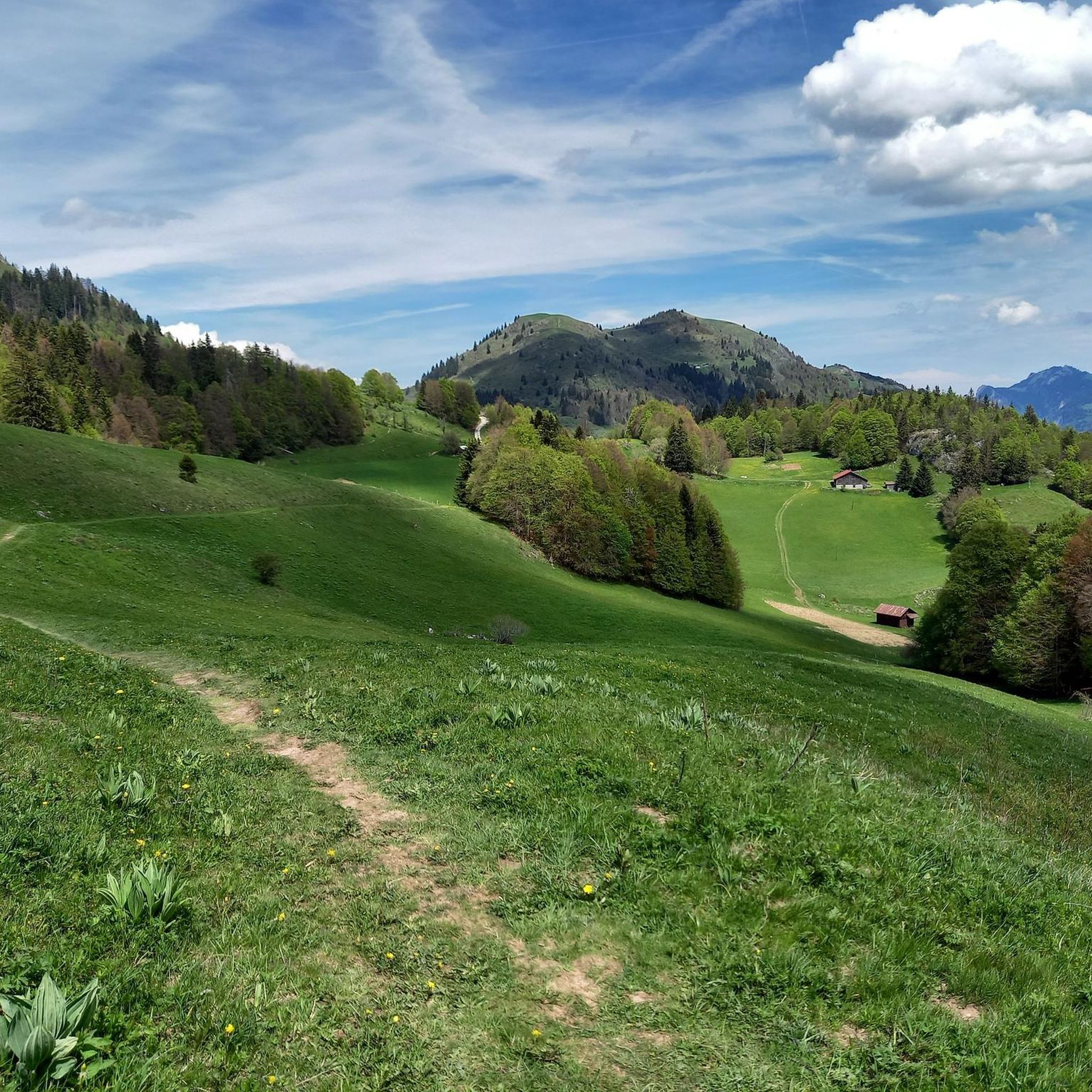
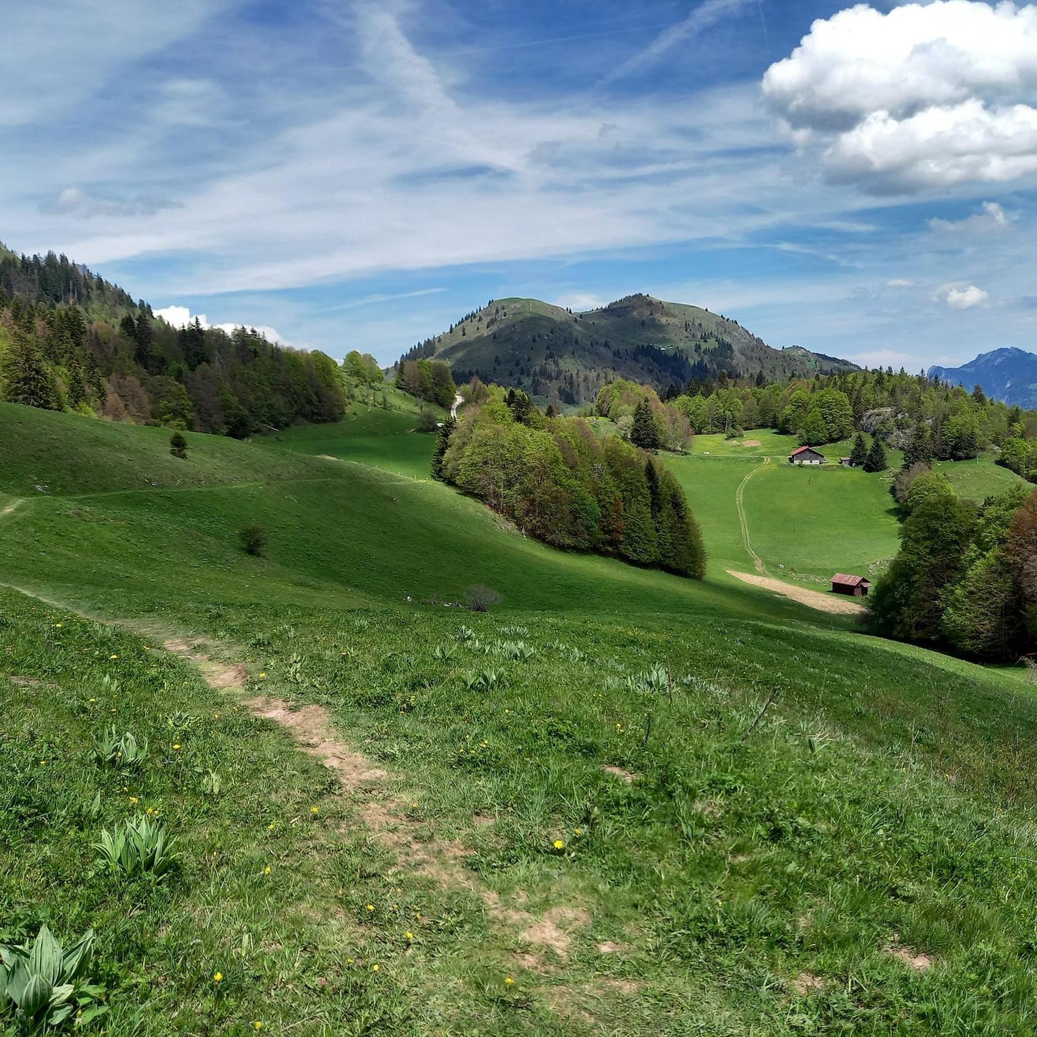
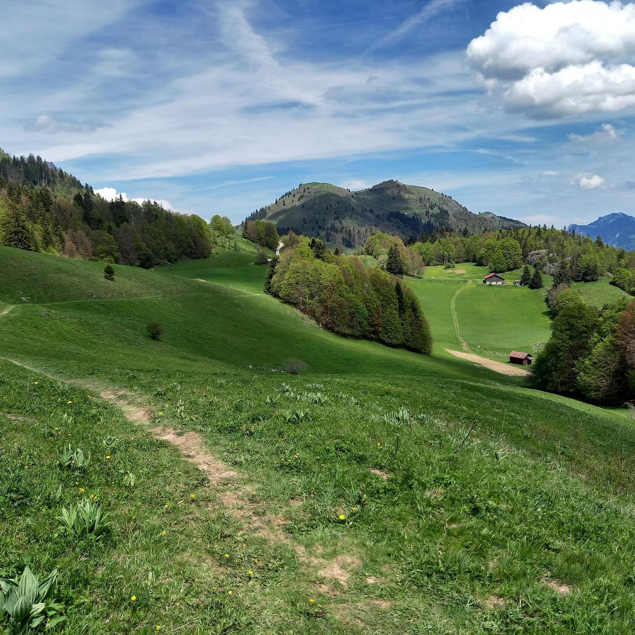

Tips from the Community


A beautiful pass, with beautiful landscapes. It's a must to do in the summer when the road is closed to cars, so you can really enjoy this climb 😉
1
0

When you descend from Col de la Ramaz to Munes you will find yourself in a wonderfully beautiful hilly alpine meadow.
0
0
Lac de Roy is a small mountain lake with crystal clear water, wedged between green alpine meadows and limestone cliffs. From the shore you have a wide view over the valley of the Giffre, the meadows of Sommand–Praz de Lys and the peaks of the Môle and the Aravis.
0
0

A difficult pass, but a magnificent view as a reward
0
0

As you climb the challenging Col de la Ramaz, you’ll be rewarded with breathtaking panoramic views of the surrounding mountains and valleys. This iconic climb, with its steep slopes and winding roads, is a must for any serious cyclist. As you push yourself to the limit, you’ll discover breathtaking views of snow-capped peaks, lush forests and picturesque villages.
1
0

One of the most beautiful views of the valley, with a rather unusual view overlooking the mole. It is then possible to cross the ridges to Pointe du Haut Fleury but be careful at Pas de l'Ane which is quite exposed despite the handrail. Strictly not recommended in case of dizziness.
0
0

Frequently Asked Questions
How many mountaineering routes can I find around Mégevette?
Mégevette offers a diverse selection of over 20 mountaineering routes, catering to various skill levels. You'll find a good mix of moderate and challenging options to explore the dramatic alpine landscape.
What kind of terrain can I expect on mountaineering routes near Mégevette?
The terrain around Mégevette is characterized by dramatic alpine landscapes, significant peaks, and varied mountain environments. You can expect steady climbs, winding paths through alpine meadows, and diverse natural features, with altitudes ranging between 850 and 1,768 meters.
Are there any easy or beginner-friendly mountaineering routes in Mégevette?
While most routes are moderate to challenging, some offer a good introduction to the area's mountaineering. For instance, the Lac de Roy – Pointe de la Couennasse loop from Praz de Lys Sommand is a moderate route that provides a rewarding experience without extreme difficulty.
What are some challenging mountaineering routes for experienced climbers?
For those seeking a more demanding experience, Mégevette offers several challenging routes. There are 10 difficult routes in the area, providing opportunities for more technical ascents and longer expeditions. The broader Mont Blanc region, accessible from nearby hubs, also offers advanced mountaineering, including technical day trips and multi-day expeditions.
Can I find circular mountaineering routes in the Mégevette area?
Yes, many of the mountaineering routes around Mégevette are designed as loops, allowing you to start and finish at the same point. Examples include the Pointe de Chalune – Col de Vésinaz loop from Praz de Lys Sommand and the Col de Chalune loop from Praz de Lys Sommand, both offering panoramic views and varied alpine terrain.
Are there any specific landmarks or natural features to look out for on these routes?
Absolutely! The region is rich in natural beauty. You'll be surrounded by prominent peaks like Montagne d'Hirmentaz, Pointe de Miribel, Tête des Follys, and Pointe des Jottis. You might also encounter beautiful lakes such as Lake Roy or La Gouille aux Morts, and enjoy views of the majestic Mont Blanc massif in the distance.
What is the best time of year for mountaineering in Mégevette?
The best time for mountaineering in Mégevette is generally during the warmer months, from late spring to early autumn, when trails are clear of snow and weather conditions are more stable. This allows for optimal exploration of the alpine meadows and higher peaks.
Is winter mountaineering possible around Mégevette?
Yes, Mégevette and the surrounding Haute-Savoie region offer opportunities for winter mountaineering. This includes activities like ski touring, ice climbing, and gully climbing, often best undertaken with professional guidance due to the specific challenges of winter conditions.
Are the mountaineering routes around Mégevette suitable for families?
While many mountaineering routes require a certain level of fitness, some moderate trails can be enjoyed by active families. It's always recommended to check the specific route's difficulty and elevation gain to ensure it matches your family's capabilities. The region also offers family-friendly caving activities.
Can I bring my dog on the mountaineering trails in Mégevette?
Many trails in the French Alps are dog-friendly, but regulations can vary, especially within protected areas or during certain seasons (e.g., nesting periods for birds). It's advisable to check local signage or specific route information for any restrictions regarding dogs, and always keep your dog under control.
Where can I find parking for the mountaineering trailheads?
Many of the popular mountaineering routes, such as those starting from Praz de Lys Sommand, typically have designated parking areas near the trailheads. It's recommended to check the specific starting point of your chosen route for detailed parking information before you set out.
How can I access the mountaineering routes around Mégevette using public transport?
Access to some trailheads around Mégevette might be possible via local bus services, especially to larger villages or ski resorts in the Haute-Savoie region. However, direct public transport to all remote mountaineering starting points can be limited. Planning your route in advance and checking local transport schedules is advisable.
What do other mountaineers say about the routes in Mégevette?
The mountaineering routes in Mégevette are highly rated by the komoot community, with an average score of 4.8 stars from over 13 reviews. Mountaineers often praise the varied terrain, panoramic views, and the sense of immersion in the dramatic alpine landscape.
Most popular routes around Mégevette
Most popular attractions around Mégevette

Get inspired with the komoot mobile app


Explore more
Browse the best Mountain Hikes & Routes in other regions.
