The best walks and hikes around Mégevette
4.6
(1423)
15,636
hikers
425
hikes
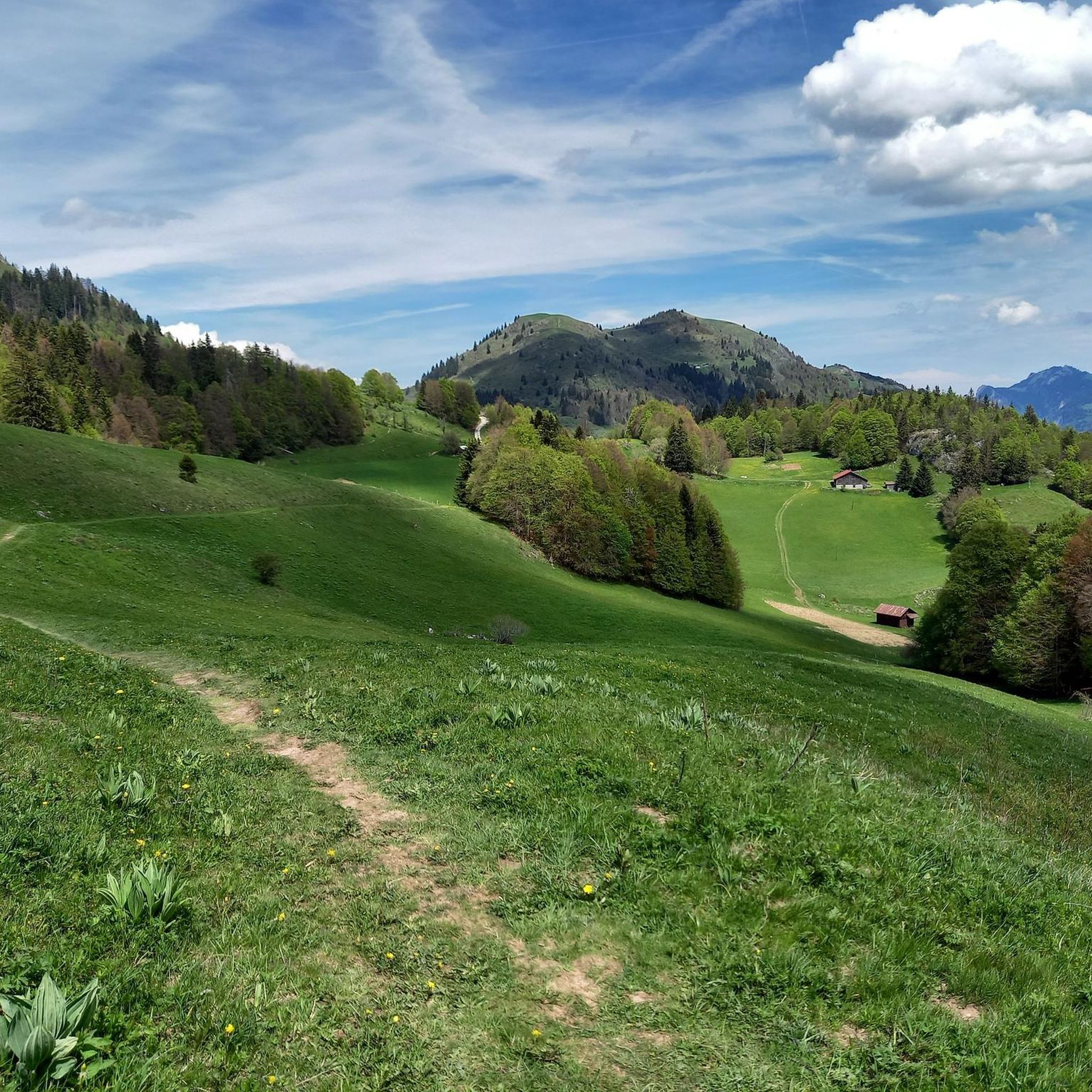
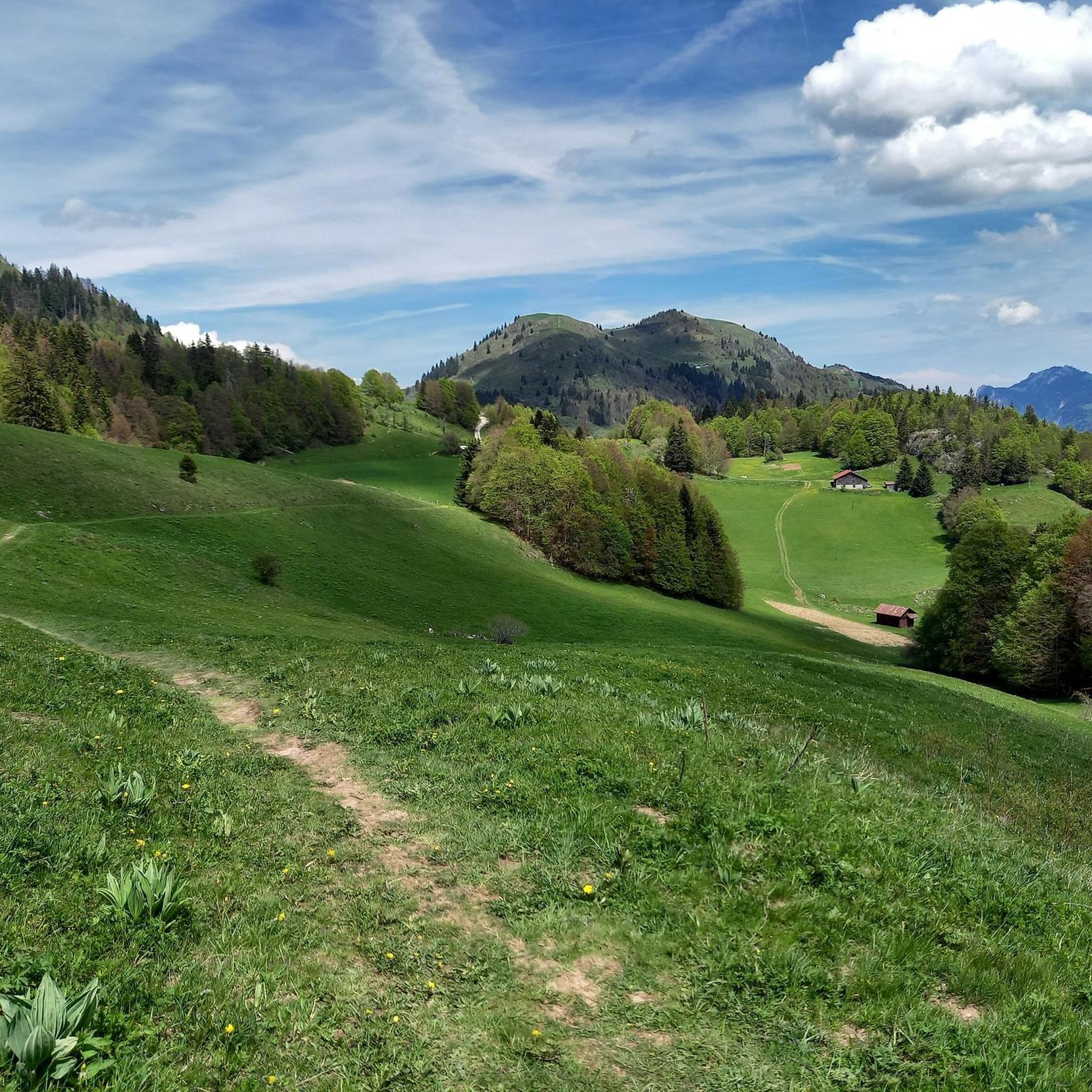
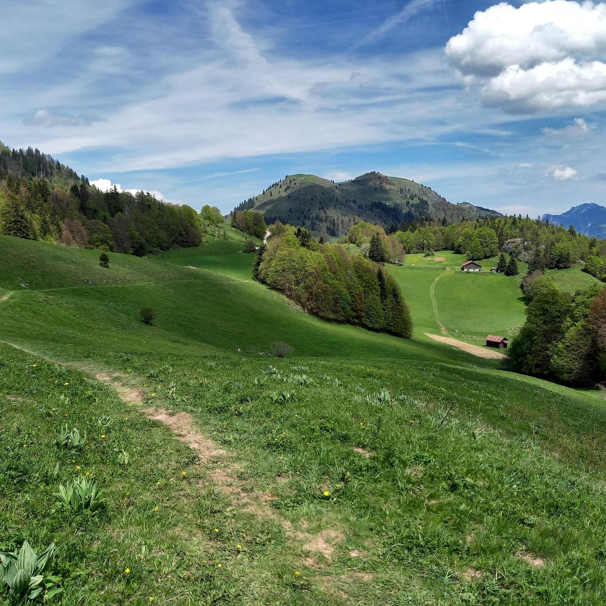
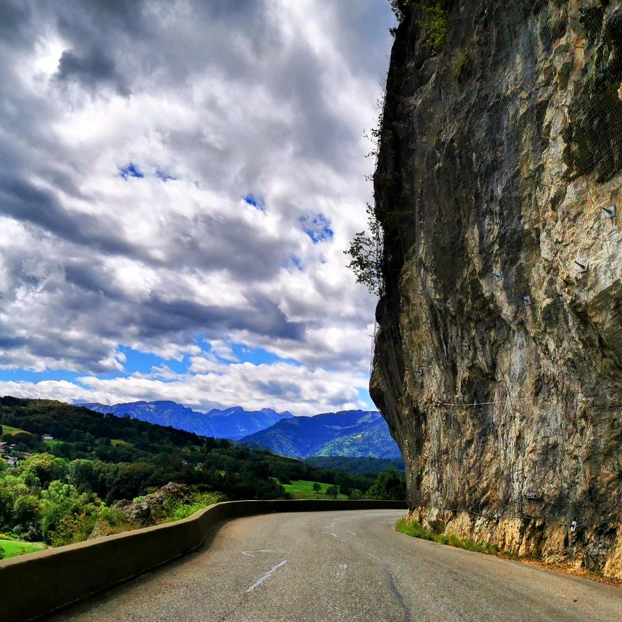
Hiking around Mégevette offers diverse terrain within the Haute-Savoie department of France, characterized by a mountainous environment. Elevations range from 856 meters to 1,768 meters at the Tête des Follys, providing varied conditions for outdoor activities. Trails often traverse serene forests and picturesque alpine pastures, with notable features including Lake Vallon and panoramic viewpoints of the Léman Alps and Mont Blanc. The region is situated in the Risse valley, offering a mix of valley paths and higher mountain routes.
Best…
Last updated: June 25, 2026
4.7
(13)
111
hikers
Easy hike. Great for any fitness level. Easily-accessible paths. Suitable for all skill levels.
4.1
(12)
181
hikers
Hard hike. Good fitness required. Sure-footedness, sturdy shoes and alpine experience required.

Sign up for free
4.4
(12)
107
hikers
10.2km
04:11
690m
690m
Moderate hike. Good fitness required. Mostly accessible paths. Sure-footedness required.
4.8
(14)
110
hikers
11.5km
03:40
480m
480m
Moderate hike. Good fitness required. Easily-accessible paths. Suitable for all skill levels.
4.7
(15)
111
hikers
8.42km
03:17
520m
520m
Moderate hike. Good fitness required. Mostly accessible paths. Sure-footedness required.
Get access to more routes and recommendations from other explorers.
Sign up for free
Already have an account?
Our route recommendations are based on thousands of hikes, rides, and runs completed by other people on komoot.
Start today with a free account
Your next adventure awaits.
Login or Signup


Tips from the Community

This chapel, dedicated to Saint Bruno, founder of the Carthusian Order, was built on the remains of the former convent church of the Carthusian monastery of Sainte-Marie de Vallon[1]. In 1543, the Carthusians of Vallon were forced to leave their monastery, which was dismantled[1]. When they regained possession of their property in 1607, they found only ruins of the old charterhouse. Only a few sections of the walls remained standing[1]. After building their fortified house in Génicot[2] on the right bank of the Brevon (now on the lake), they erected a chapel in the part of the old charterhouse, in homage to Saint Bruno and in memory of the monks who preceded them. Since the walls of the choir of their former convent church and those of the sacristy had not collapsed, a nave surmounted by a wooden vault was built in 1651[3]. In 1793, it was sold as national property[3]. Abandoned by its new owners, it then passed to the Gougain family, along with the entire property known as "La chèvre"[1]. In 1833, the Carthusians returned to work repairing the walls and vault, redoing the roof, and installing a bell tower. Bishop Pierre-Joseph Rey inaugurated the renovated chapel during the summer of 1836[3]. It received various donations, including from Converset David François Marie[citation needed]. In 1847, it was finally transferred to the churchyard[1]. Processions would go there to pray for rain or good weather; but Bishop Louis Rendu banned these events in 1852[citation needed]. In 1855, it was burned to the ground. A violent wind blew as the Abbey building burned and burning embers set it alight in turn[1]. Nothing new remained except the walls. M Chappaz undertook a collection throughout the parish and had repairs carried out during 1856: plaster vault, roof, bell tower, gallery, floor, altar[3]. On July 11, 1857, the renovated chapel was blessed.
1
0

Beautifully situated lake and great mountain panorama.
2
0

The climb up the winding path to Chapelle Saint-Bruno is rewarded with breathtaking panoramic views of Lac de Vallon and the surrounding mountains. This historic chapel, perched on top of a hill, with its peaceful interior, is a place where you can enjoy a serene atmosphere. Don’t forget to take the time to soak up the breathtaking view and listen to the soothing sounds of nature.
1
0


physically easy but steep hike. Do not do with young children. With young children go around the lake picnic points and large area for lounging
1
0
Frequently Asked Questions
How many hiking trails are available in Mégevette?
Mégevette offers a wide variety of hiking experiences, with nearly 400 trails to explore. These routes cater to all levels, including 97 easy, 196 moderate, and 101 difficult options.
What kind of terrain can I expect on hikes around Mégevette?
The terrain around Mégevette is predominantly mountainous, with elevations ranging from 856 meters to 1,768 meters at the Tête des Follys. You'll hike through serene forests, picturesque alpine pastures, and encounter varied paths from gentle slopes to more challenging ascents. Many trails offer panoramic views of the Léman Alps and Mont Blanc.
Are there any easy hiking options suitable for beginners or casual walkers?
Yes, Mégevette has 97 easy hiking routes. A great option for a relaxed walk is the Panoramic view of Lake Vallon – Saint Bruno Chapel loop from Lac de Vallon. This 5.6 km trail offers beautiful views of Lake Vallon and the surrounding mountains with a moderate elevation gain.
Can I find challenging hikes in Mégevette?
Absolutely. Mégevette features 101 difficult hiking trails for those seeking a more strenuous adventure. An example is the Panoramic view of Lake Vallon – Saint Bruno Chapel loop from Mégevette, a 7 km path with significant elevation changes that leads through forests and provides views of Lake Vallon.
Are there any circular hiking routes in Mégevette?
Many of the trails in Mégevette are designed as loops, allowing you to start and end at the same point. For instance, the Lake Vallon – Saint Bruno Chapel loop from Lac de Vallon is a moderate 11.5 km circular route that takes you past the scenic Lake Vallon and up to the chapel.
What natural landmarks or viewpoints can I see while hiking?
Hikers in Mégevette are rewarded with spectacular vistas. Trails often lead to panoramic views of the high peaks of the Léman Alps and the majestic Mont Blanc. The Pointe des Jottis offers a 360° panorama, and from the Pointe de Miribel, you can admire the Chablais region and Lake Léman. The area also features beautiful water features like Lake Vallon and the Cascade de la Diomaz. You can also visit the Saint Bruno Chapel, which is part of several hiking loops.
Are there family-friendly hiking trails in Mégevette?
Yes, Mégevette offers several routes suitable for families. Many trails around Lake Vallon are accessible and enjoyable for all ages. The Air games and picnics loop from Lac de Vallon is a moderate 8.4 km hike that winds through forests and alpine pastures, offering a pleasant outing for families with good fitness.
What is the best time of year to go hiking in Mégevette?
Mégevette experiences a mountain climate, with significant rainfall and snow cover for several months. The best time for hiking is typically from late spring through early autumn (May to October) when the trails are clear of snow and the weather is milder. During these months, you can fully enjoy the lush landscapes and panoramic views.
What do other hikers enjoy most about hiking in Mégevette?
The area is highly rated by the komoot community, with an average score of 4.6 stars from over 1,300 reviews. Hikers frequently praise the diverse mountainous terrain, the serene forests, and the breathtaking panoramic views of the Léman Alps and Mont Blanc. The variety of routes, from easy walks around Lake Vallon to more challenging ascents, is also highly appreciated.
Are there any waterfalls to discover on the trails?
Yes, the region boasts beautiful water features. The Cascade de la Diomaz is a notable natural site close to Mégevette. Hikers can also discover unique 'pots' at the Cascades, adding an interesting element to their outdoor experience.
Are dogs allowed on the hiking trails in Mégevette?
Generally, dogs are welcome on most hiking trails in Mégevette, especially if kept on a leash. However, it's always advisable to check specific trail regulations or local signage, particularly in nature reserves or protected areas, to ensure a pleasant experience for everyone.
Is parking available at the trailheads in Mégevette?
Yes, parking is typically available at common starting points for hikes, such as near Lake Vallon or in the village of Mégevette itself. These areas are usually well-equipped to accommodate hikers' vehicles, making access to the trails convenient.
Most popular routes around Mégevette
Most popular attractions around Mégevette

Get inspired with the komoot mobile app


Explore more
Browse the best Hikes in other regions.
