The best mountain hikes around Saint-Sigismond
4.4
(10)
77
hikers
5
hikes
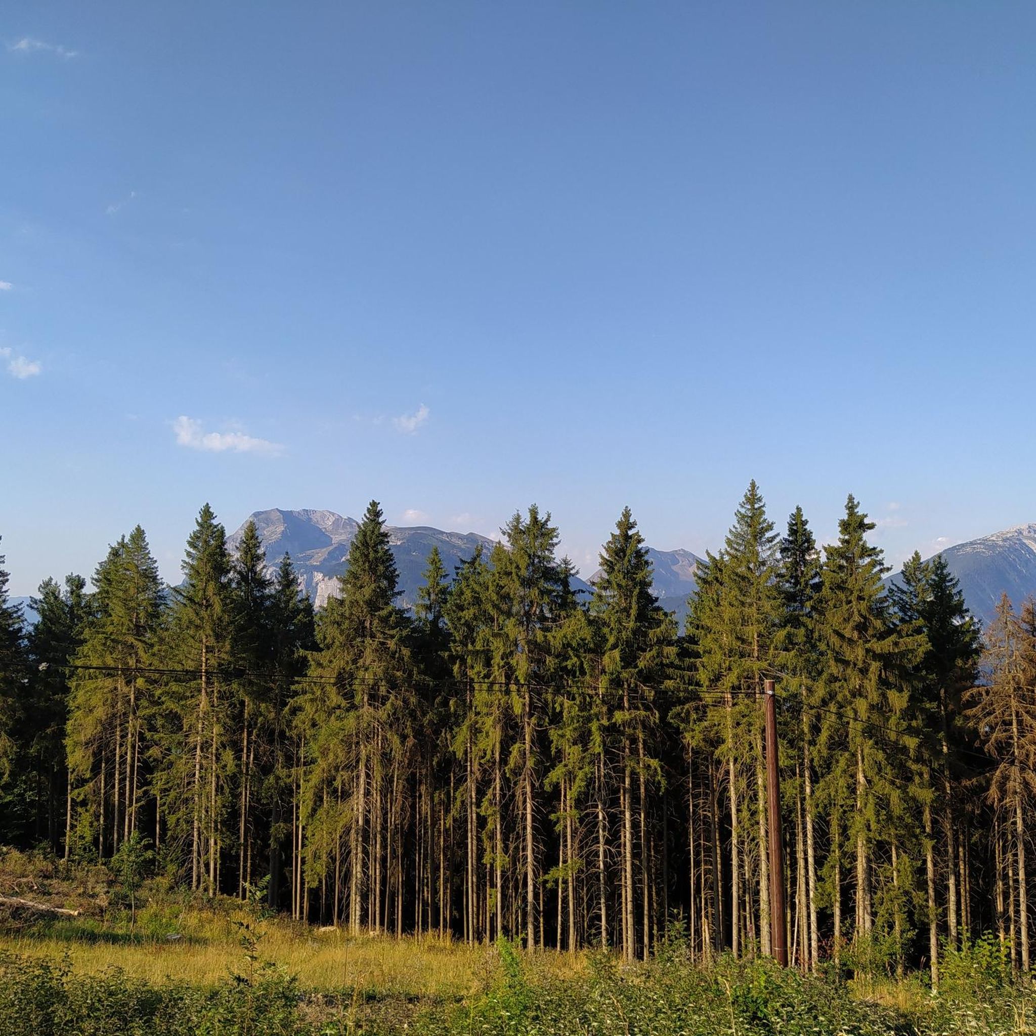
Mountaineering routes around Saint-Sigismond are set within the majestic Haute-Savoie department of France, characterized by its stunning alpine landscapes. The region is dominated by the Mont Blanc massif, featuring iconic peaks and glaciers that define the high-mountain environment. This area offers a diverse range of natural features, including challenging summits, deep valleys, and serene alpine lakes, providing varied terrain for mountaineering.
Best mountaineering routes around Saint-Sigismond
- The most popular mountaineering route is Col de Joux Plane – Ridge Trail in…
Last updated: October 9, 2026
4.0
(1)
9
hikers
Hard mountaineering route. Good fitness required. Sure-footedness, sturdy shoes and alpine experience required.
5.0
(1)
11
hikers
13.0km
05:10
870m
870m
Hard mountaineering route. Very good fitness required. Mostly accessible paths. Sure-footedness required.

5.0
(3)
11
hikers
7.65km
03:13
490m
490m
Moderate mountaineering route. Good fitness required. Mostly accessible paths. Sure-footedness required.
7
hikers
8.52km
03:13
470m
470m
Moderate mountaineering route. Good fitness required. Mostly accessible paths. Sure-footedness required.
5.0
(2)
3
hikers
8.75km
02:54
410m
410m
Moderate mountaineering route. Good fitness required. Easily-accessible paths. Suitable for all skill levels.
Our route recommendations are based on thousands of hikes, rides, and runs completed by other people on komoot.
Start today with a free account
Your next adventure awaits.
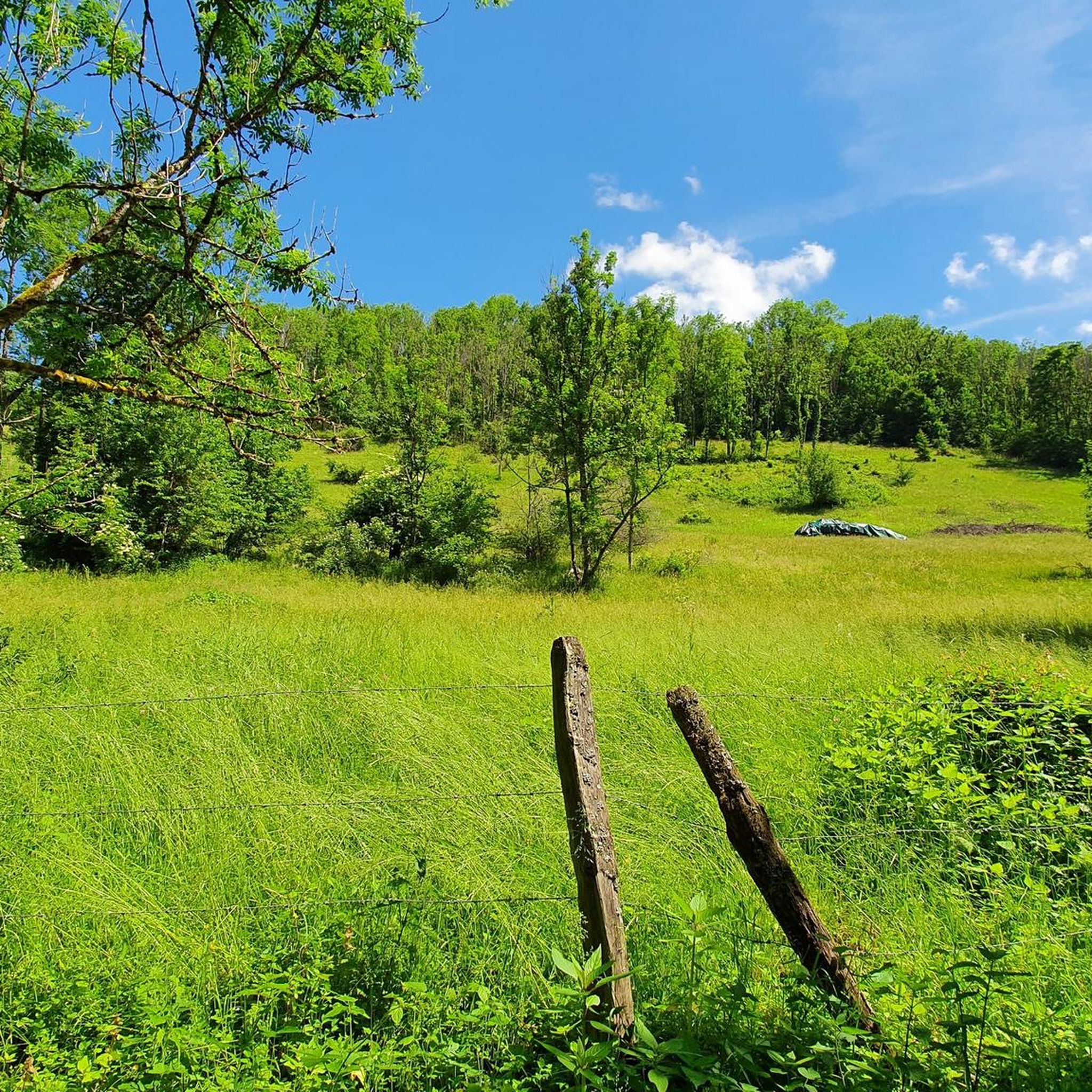
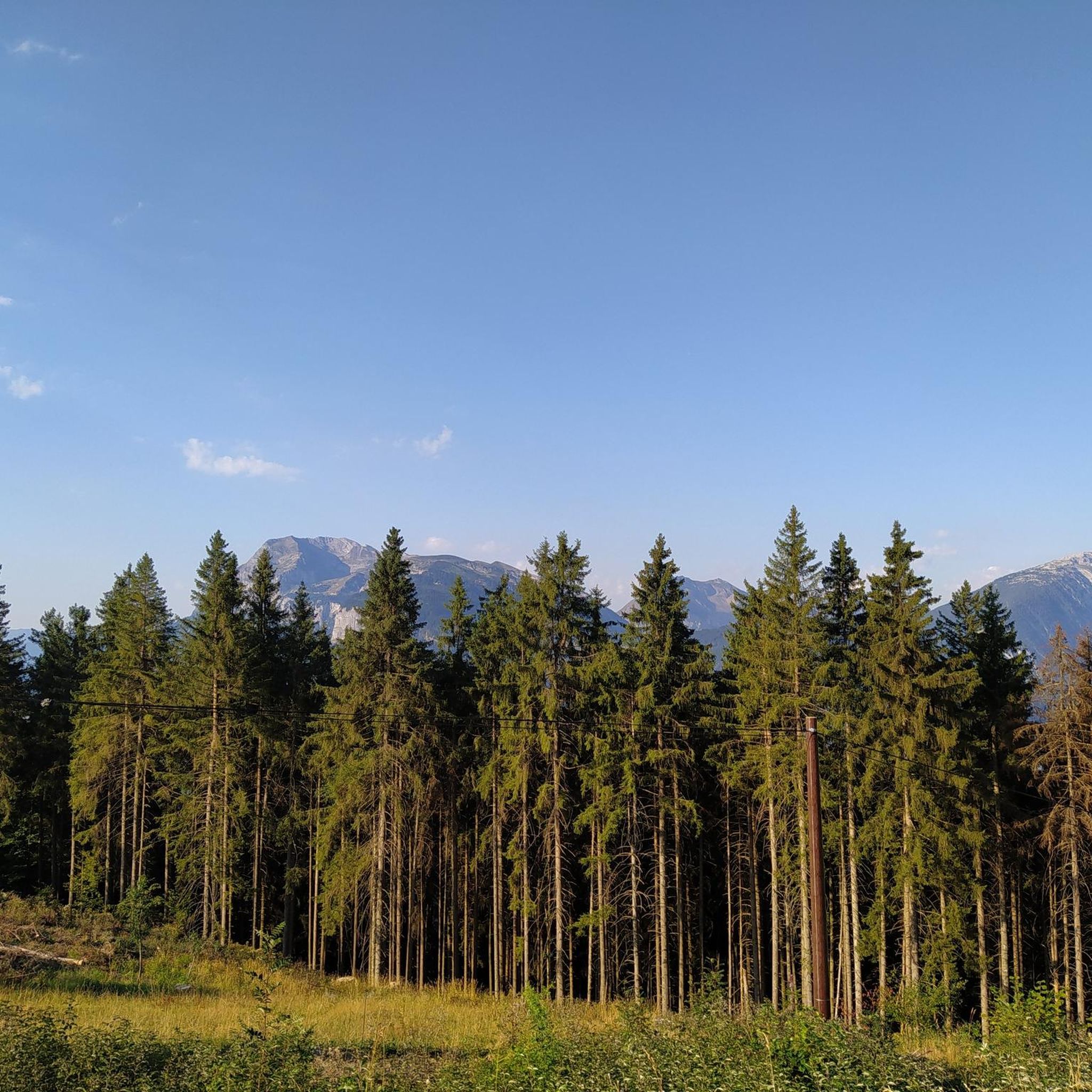
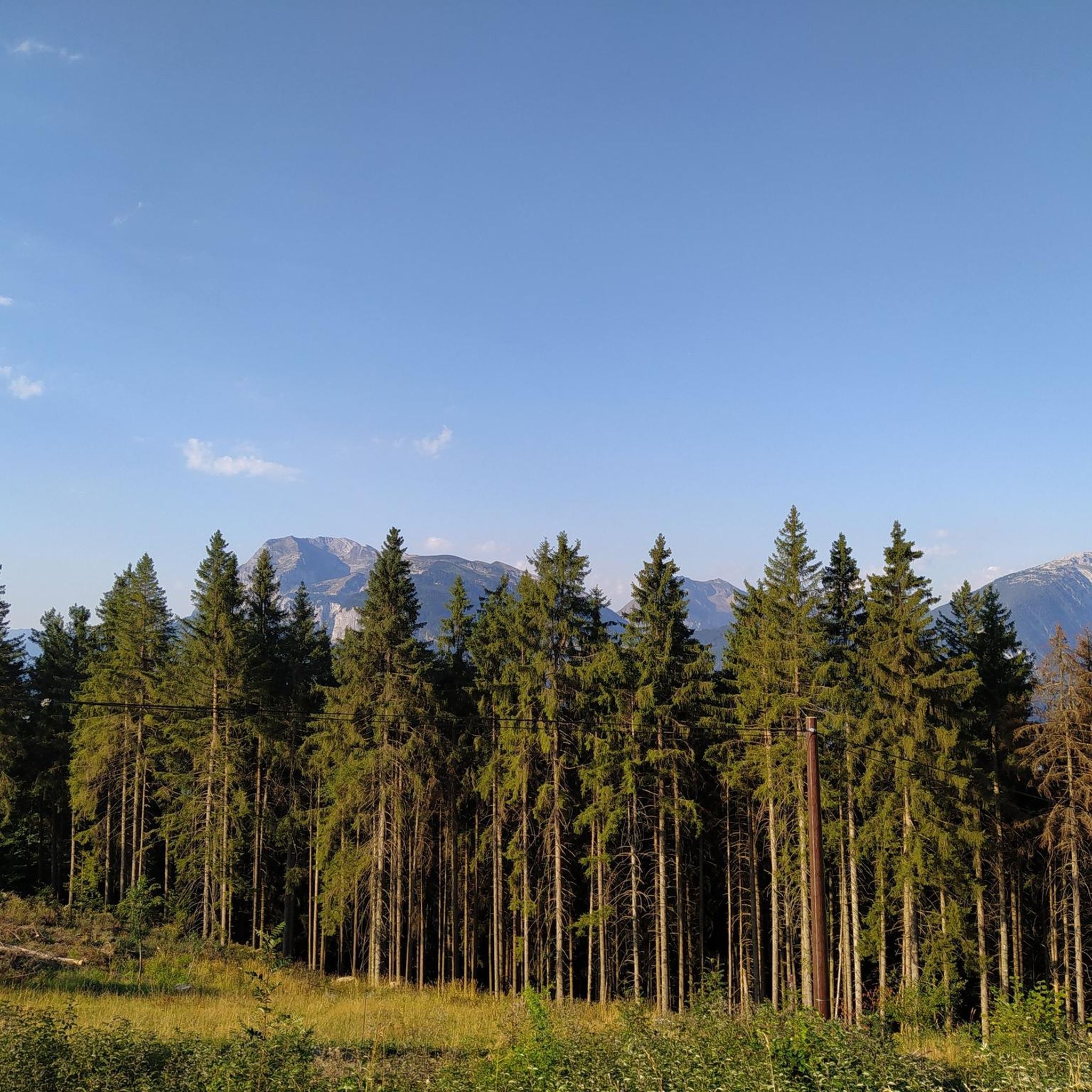
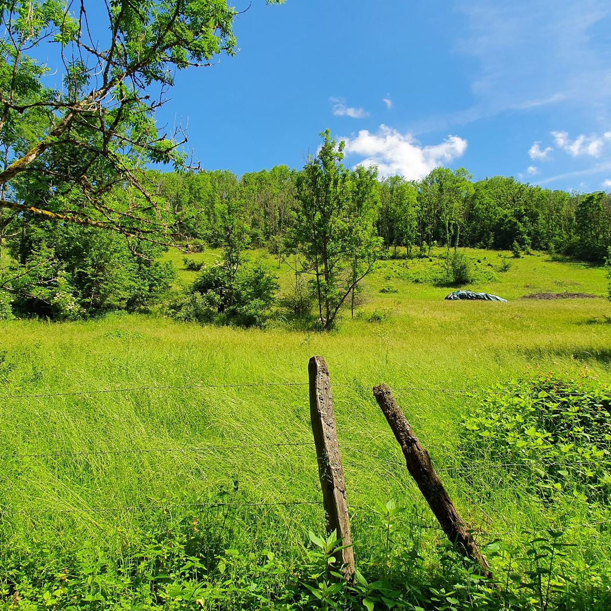

Tips from the Community


A beautiful pass, with beautiful landscapes. It's a must to do in the summer when the road is closed to cars, so you can really enjoy this climb 😉
1
0

Beautiful lake, perfect for picnics! A cozy atmosphere.
2
0
A very beautiful ridge, you need to be very sure-footed. There are wire ropes, but not everywhere. It can be dangerous if you slip 🥴 But you get a perfect view of the Haute Savoie 🤩
2
0

Lac de Roy is a small mountain lake with crystal clear water, wedged between green alpine meadows and limestone cliffs. From the shore you have a wide view over the valley of the Giffre, the meadows of Sommand–Praz de Lys and the peaks of the Môle and the Aravis.
0
0

A difficult pass, but a magnificent view as a reward
0
0


As you climb the challenging Col de la Ramaz, you’ll be rewarded with breathtaking panoramic views of the surrounding mountains and valleys. This iconic climb, with its steep slopes and winding roads, is a must for any serious cyclist. As you push yourself to the limit, you’ll discover breathtaking views of snow-capped peaks, lush forests and picturesque villages.
1
0
Frequently Asked Questions
How many mountaineering routes are available around Saint-Sigismond?
There are 9 distinct mountaineering routes detailed in this guide for the Saint-Sigismond area. These routes offer a variety of experiences, from challenging ascents to moderate high-mountain traverses.
What are the general difficulty levels of mountaineering routes in this region?
The routes around Saint-Sigismond cater to various skill levels. You'll find 5 moderate routes, perfect for those building experience, and 4 difficult routes for more seasoned mountaineers seeking a significant challenge.
What do other mountaineers say about the routes in Saint-Sigismond?
The mountaineering routes in Saint-Sigismond are highly regarded by the komoot community, boasting an average rating of 4.5 stars from over 10 reviews. More than 80 mountaineers have already explored this varied terrain, often praising the expansive alpine views and challenging landscapes.
Are there any circular mountaineering routes in Saint-Sigismond?
Yes, several routes are designed as loops, allowing you to start and finish at the same point. For example, the Col de Joux Plane – Ridge Trail in Haute-Savoie loop from Col de Joux Plane offers ridge walking with expansive alpine views, and the Pointe de Chalune – Col de Foron loop from Les truites traverses varied high-mountain terrain.
Can I find routes with significant elevation gain for a challenging experience?
Absolutely. The region is known for its challenging ascents. For instance, the Aiguille de Criou – Le Criouly loop from Communauté de communes des Montagnes du Giffre involves over 1400 meters of elevation gain, providing a demanding alpine experience.
Are there any moderate mountaineering routes suitable for those building experience?
Yes, there are several moderate options. The Pointe de Marcelly loop from Praz de Lys Sommand is a great choice, offering a rewarding experience without the extreme demands of the most difficult ascents. Another moderate option is the Lac de Roy – Pointe de la Couennasse loop from Praz de Lys Sommand.
What natural features can I expect to see while mountaineering around Saint-Sigismond?
The region is dominated by the majestic Mont Blanc massif, offering breathtaking high-mountain experiences. You'll encounter iconic peaks like the Aiguille de Bionnassay, stunning glaciers such as the Glacier des Bossons, and serene alpine lakes like Lac d'Anterne and Lac de Nyon-Guérin. Impressive waterfalls like Cascade du Rouget also add to the natural beauty.
Are there any specific viewpoints or panoramic spots along the routes?
Yes, the area is rich with spectacular viewpoints. The La Bourgeoise lookout is particularly renowned for its views of Mont Blanc, especially at sunset. Pointe d'Areu also provides an exceptional panorama of the Arve valley and the Mont Blanc massif.
Where can I find impressive waterfalls near the mountaineering trails?
The region boasts several impressive waterfalls. The Cascade du Rouget and Cascade de la Diomaz are notable, and the Arpenaz waterfall, ranking as the third highest in France, is also nearby, adding to the scenic beauty of the area.
Are there any alpine lakes accessible on or near these mountaineering routes?
Yes, the region features several picturesque alpine lakes. Lac de Gers and Lac de Nyon-Guérin are accessible and provide serene settings for hikers. Other notable lakes include Lac d'Anterne and Lac Cornu, offering beautiful spots for rest and photography.
What is the best time of year for mountaineering in Saint-Sigismond?
The best time for mountaineering in Saint-Sigismond is typically during the summer months, from late June to early September, when trails are generally clear of snow and weather conditions are more stable. However, conditions can vary, so always check local forecasts before heading out.
Are there options for food or accommodation near the trails?
Yes, you can find options for refreshment and overnight stays. Highlights include Refuge du Lac de Gers, which offers both food and accommodation, and restaurants like Igloo Refuge and Restaurant Les Lhottys, providing places to refuel after your adventures.
Most popular routes around Saint-Sigismond
Most popular attractions around Saint-Sigismond

Get inspired with the komoot mobile app


Explore more
Browse the best Mountain Hikes & Routes in other regions.
