The best walks and hikes around Saint-Sigismond
4.5
(2504)
26,598
hikers
11
hikes
Hiking around Saint-Sigismond offers diverse terrain in the Haute-Savoie department of France, situated between the Arve and Giffre valleys. The region features altitudes ranging from 620 to 1,420 meters, encompassing mountainous landscapes, forests, and alpine pastures. Notable natural features include the Agy Plateau, which provides panoramic views, and various mountain peaks. This varied topography supports a range of hiking experiences.
Best hiking trails around Saint-Sigismond
- The most popular hiking route is Hiking loop from Saint-Sigismond, a 4.3 miles (6.9…
Last updated: October 12, 2026
4.1
(8)
119
hikers
6.89km
01:58
160m
160m
Easy hike. Great for any fitness level. Easily-accessible paths. Suitable for all skill levels.
4.4
(17)
104
hikers
8.95km
02:31
190m
180m
Moderate hike. Good fitness required. Easily-accessible paths. Suitable for all skill levels.

4.2
(5)
47
hikers
12.2km
03:52
480m
480m
Moderate hike. Good fitness required. Easily-accessible paths. Suitable for all skill levels.
5.0
(1)
22
hikers
4.24km
01:13
100m
100m
Easy hike. Great for any fitness level. Easily-accessible paths. Suitable for all skill levels.
4.4
(7)
67
hikers
9.19km
02:38
220m
220m
Moderate hike. Good fitness required. Easily-accessible paths. Suitable for all skill levels.
Get access to more routes and recommendations from other explorers.
Already have an account?
Our route recommendations are based on thousands of hikes, rides, and runs completed by other people on komoot.
Start today with a free account
Your next adventure awaits.


Tips from the Community

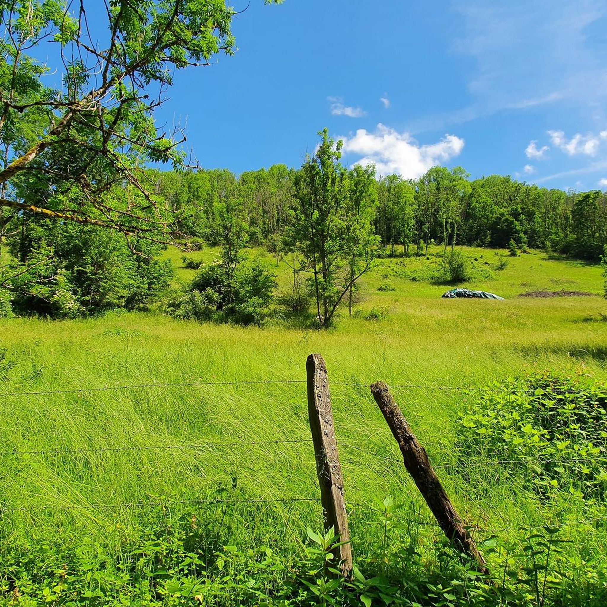
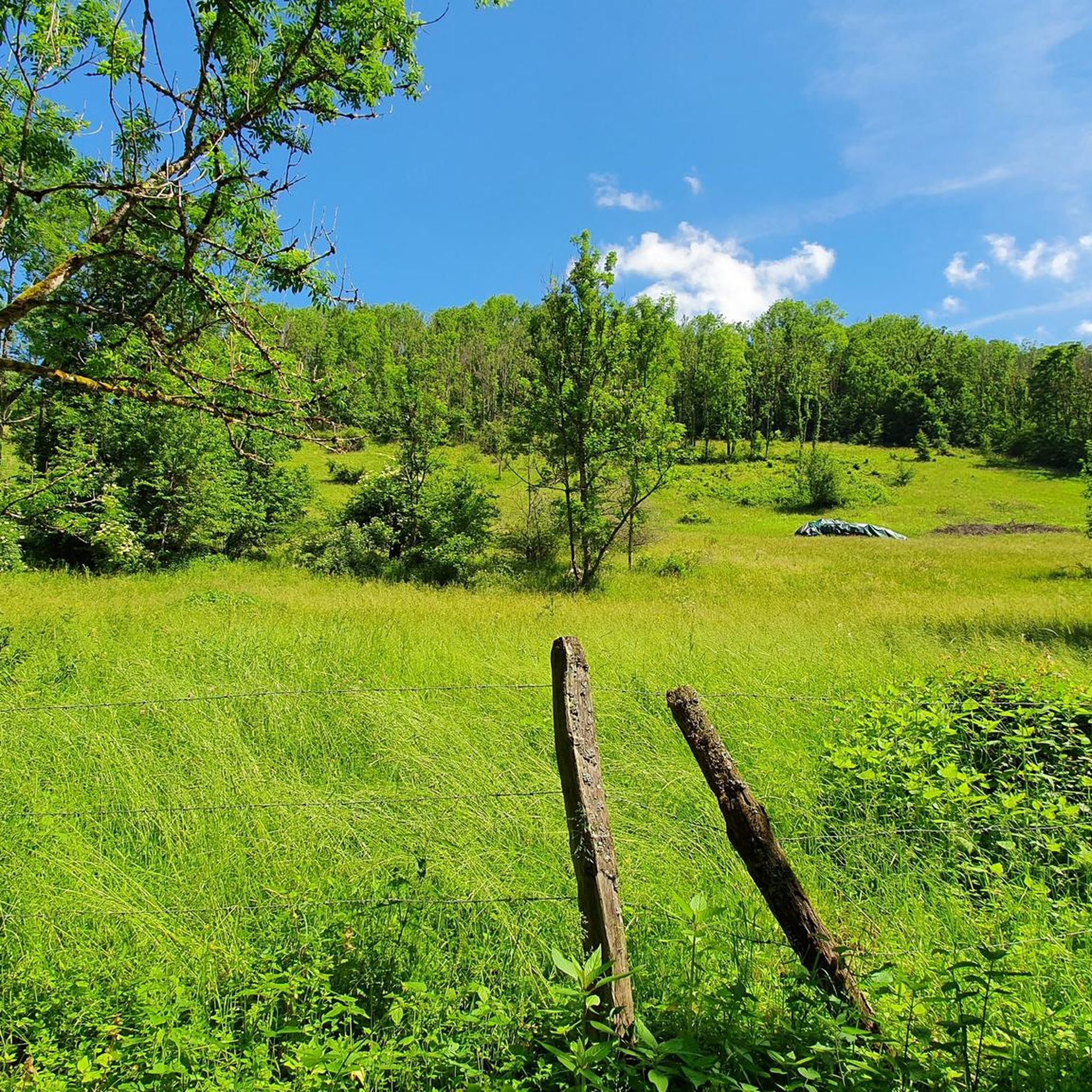
beautiful walk around the cross-country ski slopes
0
0

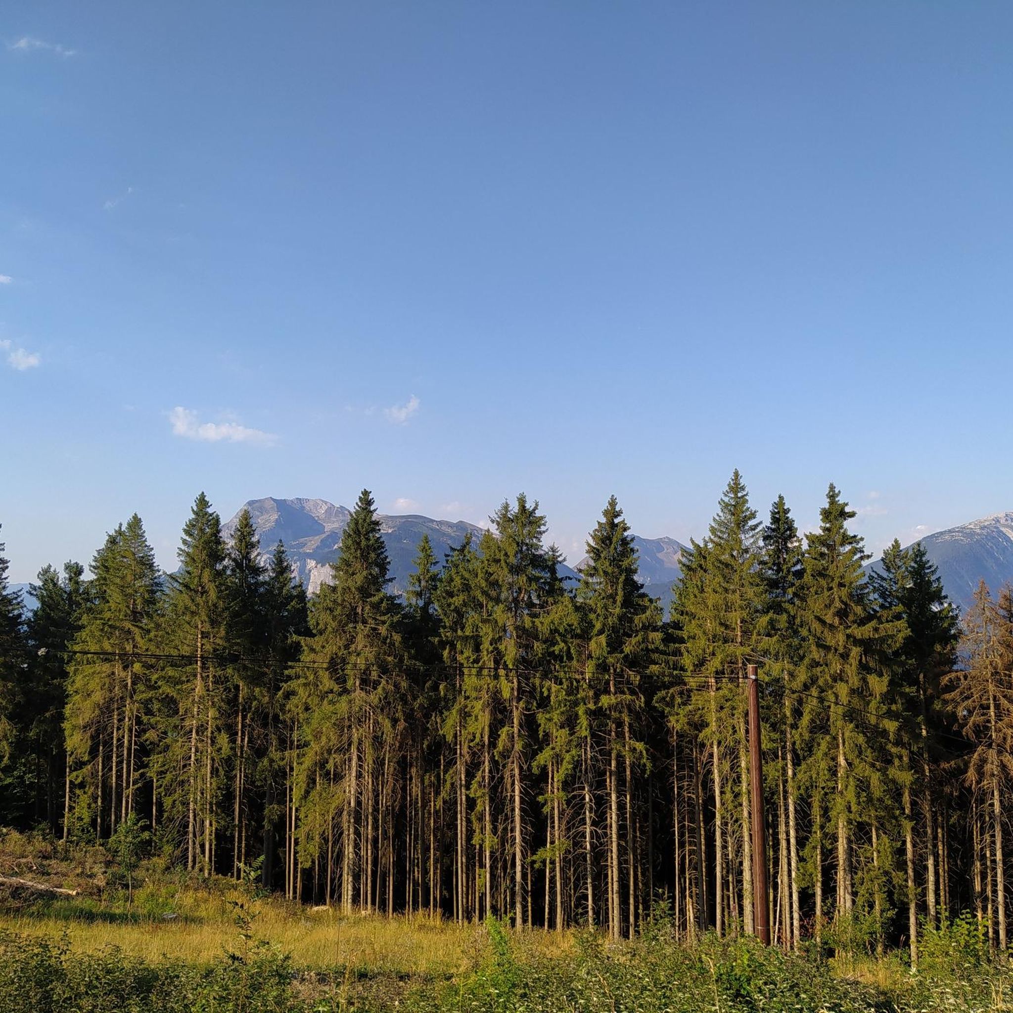
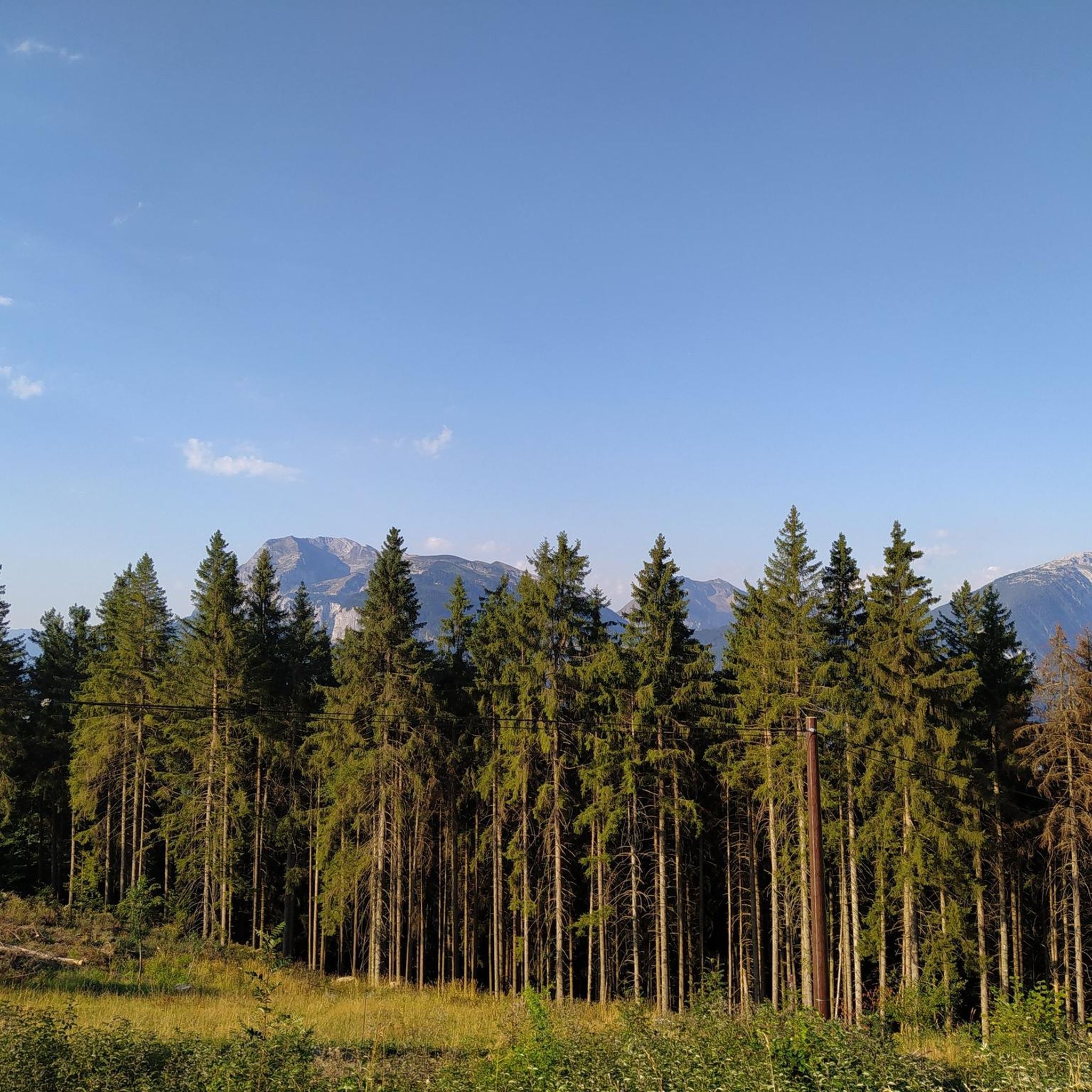
The path in the field is not marked, the view is magnificent
0
0

The cross of the seven brothers is an emblematic place of Carroz and Morillon
0
0

Point of intersection the Mottal Altitude 1410m
2
0
What does this cross erected in this place commemorate? and why call it cross of the 7 brothers? There are several versions of a local legend on the subject. Here is the first: in ancient times and in a terrible winter, a young boy ventured on the ridge; when the snow ledge collapsed under his weight, he disappeared with it down the slope. And his six brothers, finding his body and wanting to rescue him, met the same fate and united with him beyond white death. and a second which is more of a geographical explanation given by Jean-Marie Greffoz who owns a chalet in Les Tronchets, just under the Croix des Sept Frères (and reported by Thierry Ferreyrolles). “200 years ago, on this height, there was an alpine pasture. So no forest like now. As a result, the view stretched far and you could see seven steeples. This is where the name of the Seven Brothers comes from. »
1
0
Frequently Asked Questions
What kind of terrain can I expect when hiking around Saint-Sigismond?
Saint-Sigismond offers a diverse landscape, from the valleys of Arve and Giffre to mountainous terrain, forests, and alpine pastures. The Agy Plateau is a notable feature, providing panoramic views. You'll find a mix of elevations, with routes ranging from 620 to 1,420 meters.
Are there easy hiking trails suitable for beginners or casual walkers?
Yes, Saint-Sigismond has several easy hiking options. The Agy Plateau, in particular, offers a wide range of accessible paths suitable for all skill levels. An example is the Agy–Filamoz Trail loop from Saint-Sigismond, which is an easy 4.2 km route.
Are there any family-friendly hiking routes in Saint-Sigismond?
Absolutely. Many trails around Saint-Sigismond are suitable for families, especially those on the Agy Plateau, which are known for their accessibility. These routes often traverse forests and pastures, offering pleasant walks for all ages.
Can I bring my dog on the hiking trails?
While specific regulations can vary, many trails in the Saint-Sigismond area are generally dog-friendly. It's always recommended to keep your dog on a leash, especially in alpine pastures where livestock may be present, and to clean up after them. There are no specific restrictions mentioned for popular trails like the Agy–Filamoz network.
Are there any circular hiking routes available?
Yes, many of the hiking trails around Saint-Sigismond are designed as circular routes, allowing you to start and end at the same point. For instance, the Agy–Filamoz Trail – View of L'Artoche loop from Saint-Sigismond is a moderate 9 km circular path.
What are some notable natural features or scenic viewpoints I can discover?
The region is rich in natural beauty. The Agy Plateau offers panoramic 360-degree views of the Arve and Giffre valleys. You can also find impressive water features like the Arpenaz Waterfall, an impressive 270 meters high. Further afield, Ladies' Lake and Lake Vernays offer picturesque settings.
What do other hikers enjoy most about hiking in Saint-Sigismond?
The area is highly rated by the komoot community, with an average score of 4.5 stars from over 2,200 reviews. Hikers often praise the stunning 360-degree panoramas, the calm of nature, and the diverse trails that cater to various fitness levels, particularly around the Agy Plateau.
Is there parking available at the trailheads?
Yes, parking is generally available at popular starting points for hikes, especially around the Agy Plateau, which is a well-known hub for outdoor activities. Specific parking information can often be found on individual route descriptions.
What is the best time of year to go hiking in Saint-Sigismond?
Saint-Sigismond is suitable for hiking throughout much of the year. Spring and autumn offer pleasant temperatures and vibrant scenery. In summer, the alpine pastures are in full bloom, while in winter, the Agy Plateau transforms into a Nordic center, offering snowshoeing opportunities on designated trails.
Are there any places to eat or stay near the hiking trails?
Yes, Saint-Sigismond and its surrounding areas offer various amenities. You can find restaurants and huts, such as the Igloo Refuge or Chez Bargyton, which can be found along or near some routes. The commune itself and nearby towns provide accommodation options.
Are there any multi-day hiking options around Saint-Sigismond?
While many routes are day hikes, the region's extensive network and available huts like Refuge du Lac de Gers make multi-day circuits possible for those seeking longer adventures. These typically involve combining several trails and staying overnight in mountain accommodations.
Are hiking permits required for trails around Saint-Sigismond?
Based on available information, hiking permits are generally not required for the trails around Saint-Sigismond. The area is largely accessible for public enjoyment of its natural environment.
Most popular routes around Saint-Sigismond
Most popular attractions around Saint-Sigismond

Get inspired with the komoot mobile app


Explore more
Browse the best Hikes in other regions.
