The best mountain hikes around Saint-Jeoire
4.3
(14)
101
hikers
12
hikes
Mountaineering routes around Saint-Jeoire traverse a diverse alpine landscape, characterized by prominent peaks, high mountain passes, and forested valleys within the French Prealps. The region offers varied terrain, from challenging ascents to more accessible trails, providing opportunities to explore its natural beauty. These routes often feature panoramic views of the surrounding mountains and lead through a mix of open alpine meadows and dense woodland. The area's geology contributes to its distinct features, making it a compelling destination for mountaineering.
Best…
Last updated: October 9, 2026
4.8
(4)
35
hikers
8.59km
04:12
670m
670m
Hard mountaineering route. Good fitness required. Sure-footedness, sturdy shoes and alpine experience required.
15
hikers
7.56km
02:58
530m
530m
Moderate mountaineering route. Good fitness required. Easily-accessible paths. Suitable for all skill levels.

4.3
(3)
15
hikers
12.9km
04:39
740m
740m
Moderate mountaineering route. Good fitness required. Easily-accessible paths. Suitable for all skill levels.
5.0
(3)
11
hikers
7.65km
03:13
490m
490m
Moderate mountaineering route. Good fitness required. Mostly accessible paths. Sure-footedness required.
7
hikers
8.52km
03:13
470m
470m
Moderate mountaineering route. Good fitness required. Mostly accessible paths. Sure-footedness required.
Get access to more routes and recommendations from other explorers.
Already have an account?
Our route recommendations are based on thousands of hikes, rides, and runs completed by other people on komoot.
Start today with a free account
Your next adventure awaits.
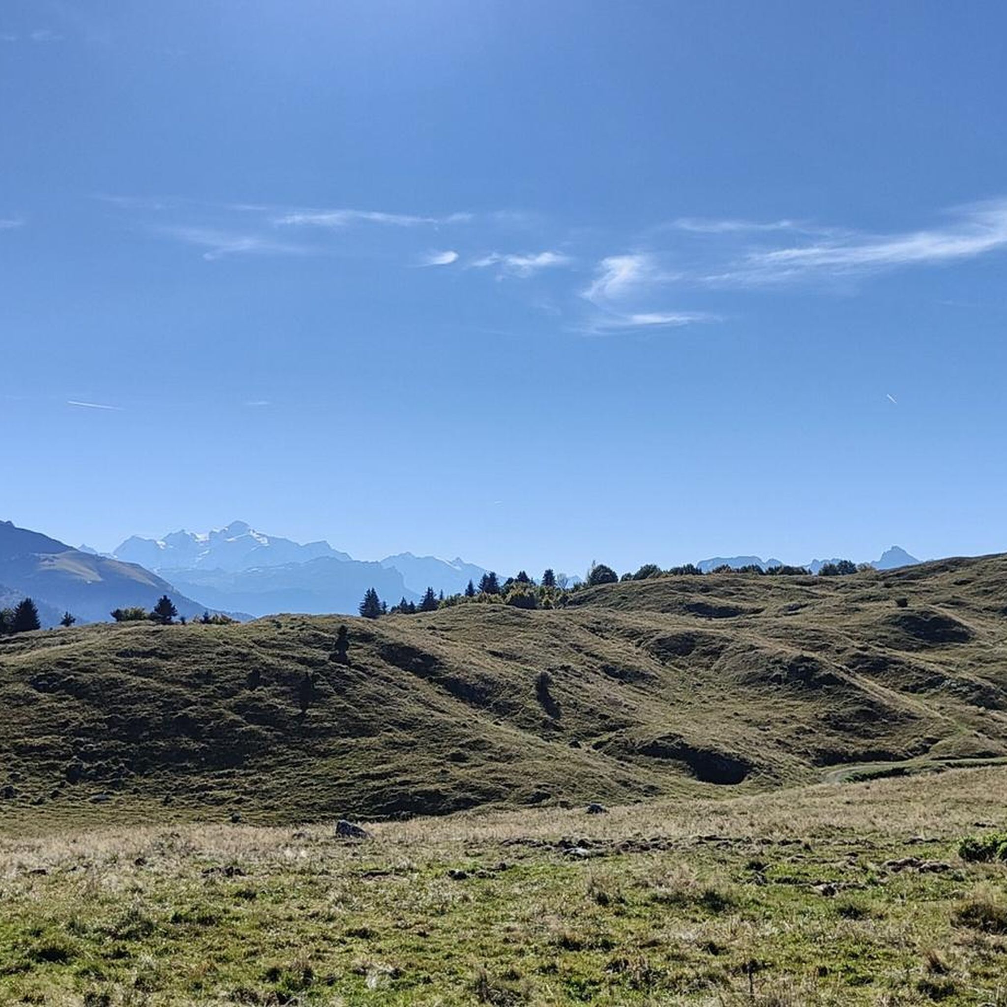
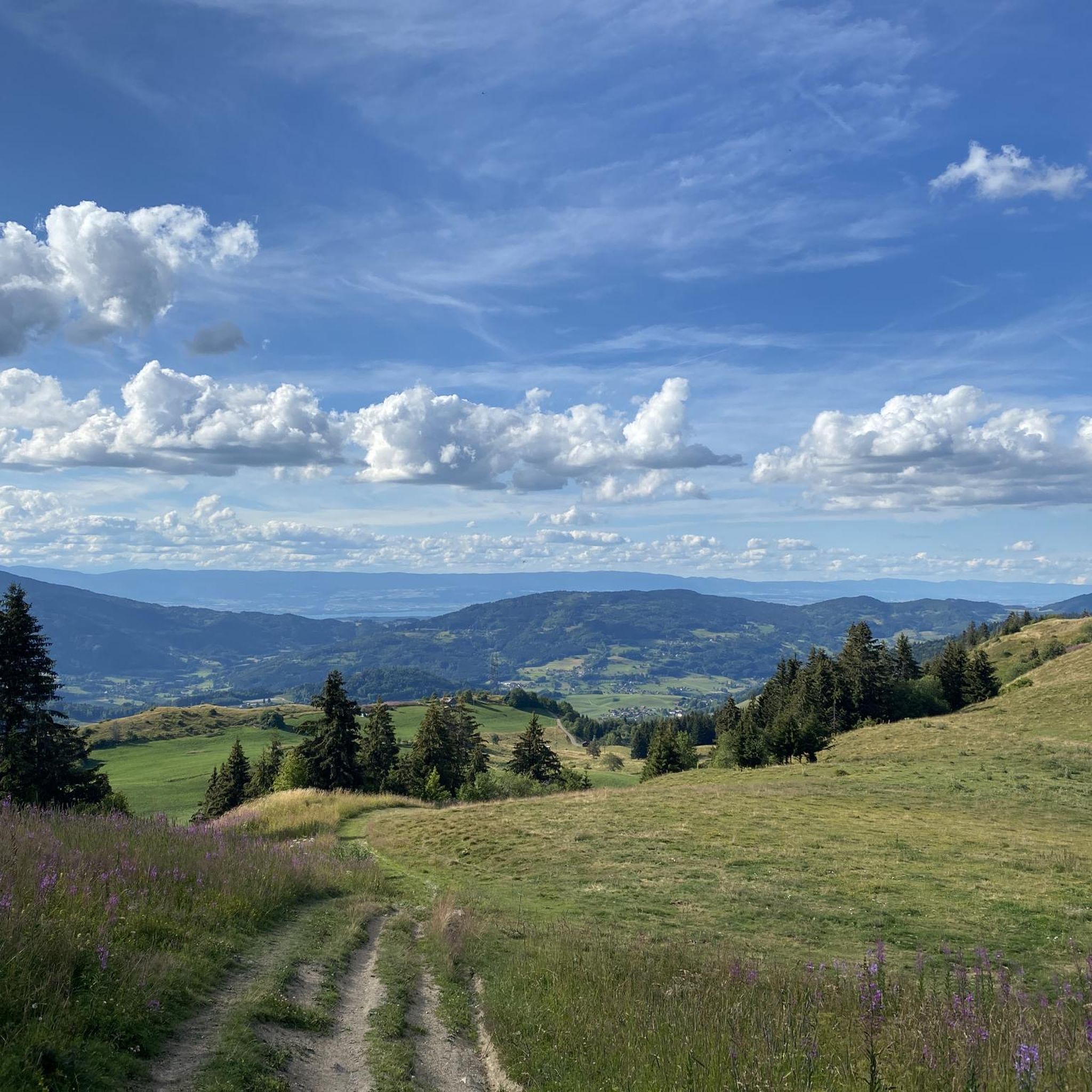
Tips from the Community

Very nice hike. It was quite crowded today. Contrary to what’s written in the description, I didn’t see any particularly risky passages
0
0

When you descend from Col de la Ramaz to Munes you will find yourself in a wonderfully beautiful hilly alpine meadow.
0
0
Lac de Roy is a small mountain lake with crystal clear water, wedged between green alpine meadows and limestone cliffs. From the shore you have a wide view over the valley of the Giffre, the meadows of Sommand–Praz de Lys and the peaks of the Môle and the Aravis.
0
0

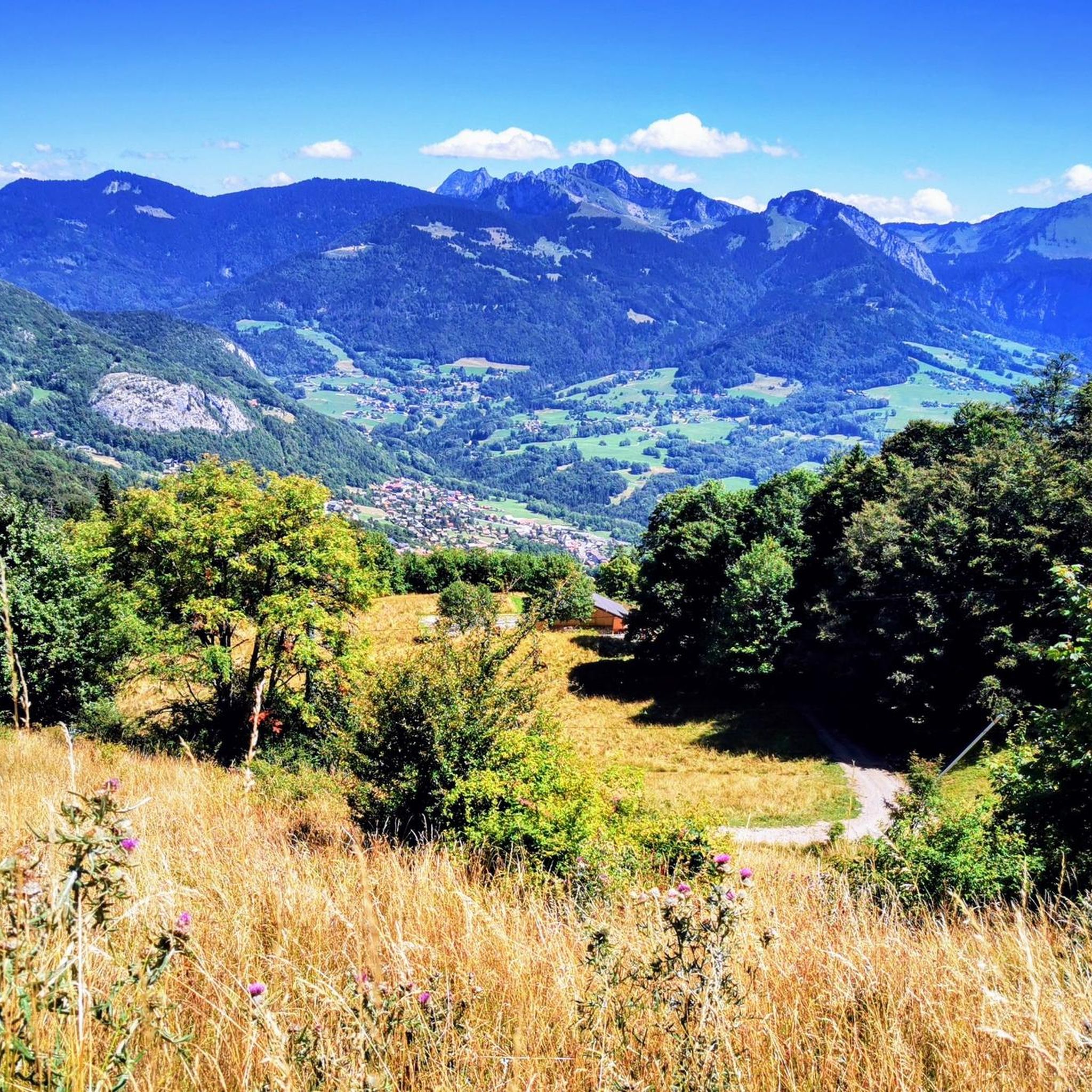
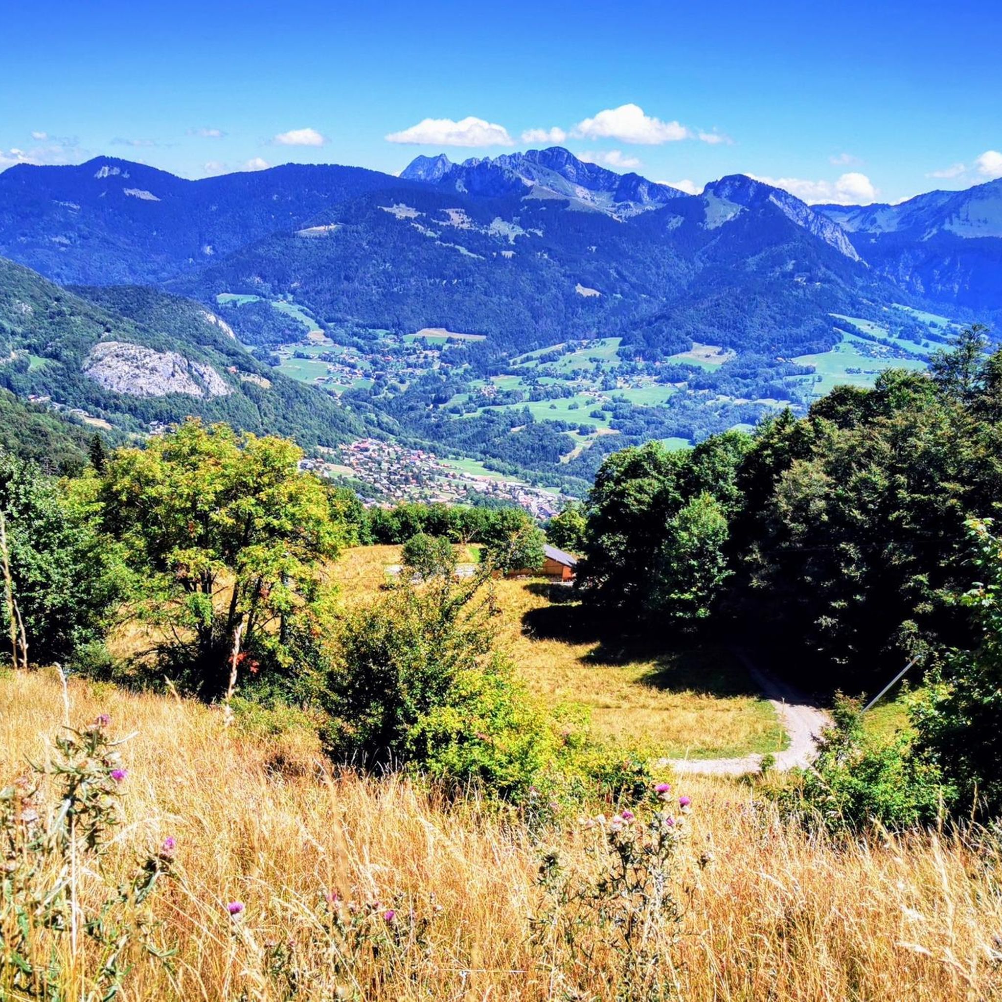
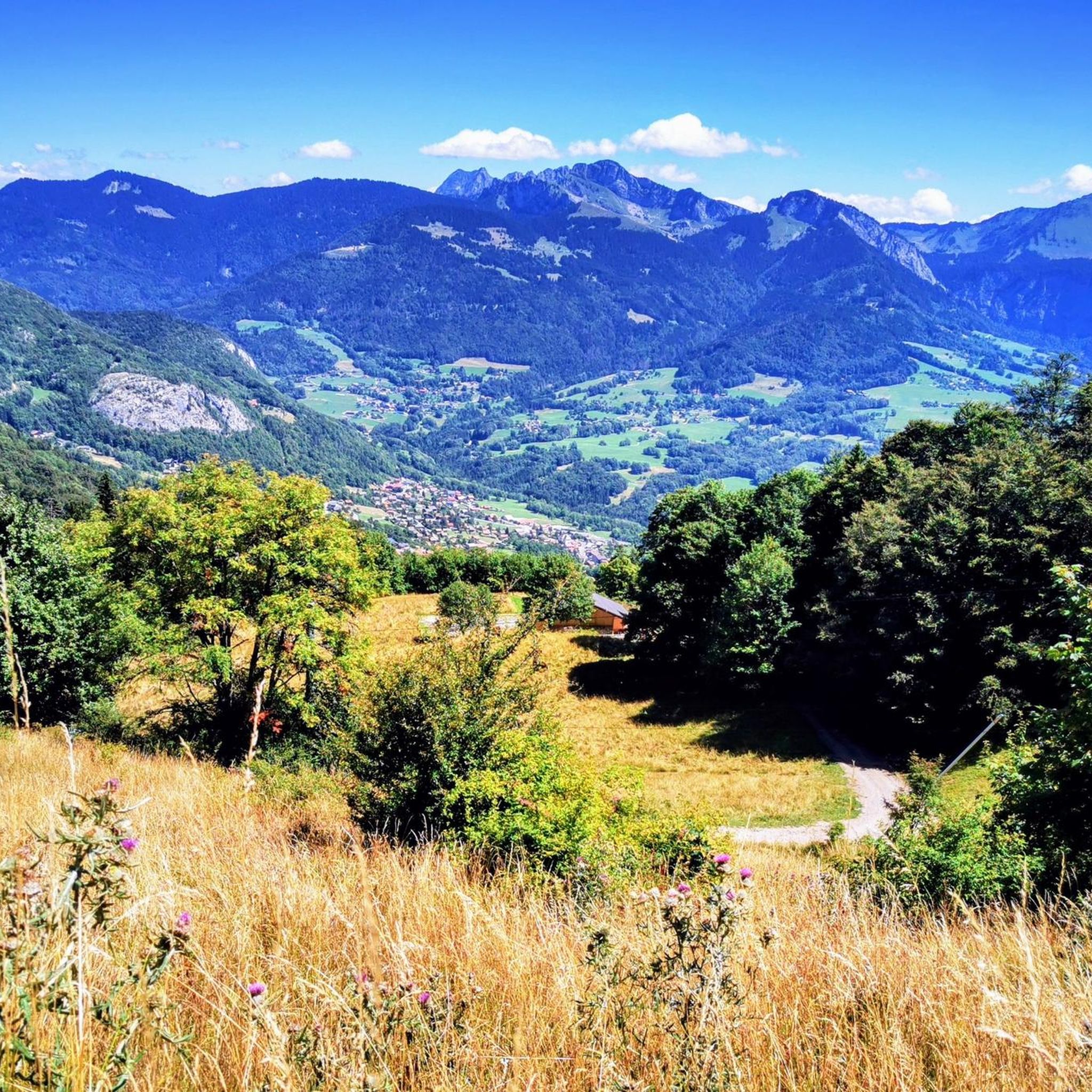
One of the most beautiful views of the valley, with a rather unusual view overlooking the mole. It is then possible to cross the ridges to Pointe du Haut Fleury but be careful at Pas de l'Ane which is quite exposed despite the handrail. Strictly not recommended in case of dizziness.
0
0

Frequently Asked Questions
How many mountaineering routes are available around Saint-Jeoire?
There are over 15 mountaineering routes documented around Saint-Jeoire on komoot, offering a variety of experiences in the French Prealps. These routes traverse diverse alpine landscapes, from prominent peaks to forested valleys.
What is the typical difficulty level of mountaineering routes in Saint-Jeoire?
The mountaineering routes around Saint-Jeoire primarily range from moderate to difficult. You'll find 10 moderate routes and 6 difficult routes, providing options for those seeking a good challenge in the alpine terrain.
Are there any circular mountaineering routes in Saint-Jeoire?
Yes, many routes in Saint-Jeoire are circular, allowing you to return to your starting point. Examples include the Petit Môle – Le Môle loop from Ayse, the Pointe de Chalune – Col de Vésinaz loop from Praz de Lys Sommand, and the Col de Chalune loop from Praz de Lys Sommand.
What kind of views can I expect on these mountaineering trails?
Mountaineering routes in Saint-Jeoire offer panoramic views of the surrounding mountains, often leading through open alpine meadows and dense woodland. You can expect expansive summit views, especially from routes like the Petit Môle – Le Môle loop from Ayse.
What are some of the more challenging mountaineering routes in the area?
For those seeking a more demanding experience, routes like the Petit Môle – Le Môle loop from Ayse are classified as difficult, featuring significant elevation gain and requiring a good level of fitness.
Are there any natural landmarks or attractions to see along the routes?
Yes, the region boasts several natural attractions. You might encounter beautiful lakes such as La Gouille aux Morts or Lac Bénit. There are also impressive geological features like the Gorges du Pont du Diable and various mountain summits like Pointe de Miribel.
What do other mountaineers say about the trails in Saint-Jeoire?
The routes in Saint-Jeoire are highly rated by the komoot community, with an average score of 4.7 stars from over 10 reviews. Mountaineers often praise the varied terrain and the stunning alpine scenery.
How long do mountaineering routes near Saint-Jeoire typically take?
The duration of routes varies, but many moderate to difficult trails can take several hours. For example, the Pointe de Chalune – Col de Vésinaz loop typically takes around 3 hours, while the Lac de Roy – Pointe de la Couennasse loop is closer to 3 hours and 15 minutes.
Is it possible to see wildlife while mountaineering in Saint-Jeoire?
The French Prealps are home to diverse wildlife. While specific sightings are never guaranteed, exploring the forested valleys and alpine meadows on routes like the Pointe de Marcelly loop from Praz de Lys Sommand offers opportunities to observe local fauna in their natural habitat.
What is the best time of year for mountaineering in Saint-Jeoire?
The best time for mountaineering in Saint-Jeoire is generally from late spring to early autumn (May to October), when the weather is more stable, and trails are clear of snow. Always check local conditions before heading out, especially at higher elevations.
Are there any specific peaks or summits that are popular for mountaineering?
Several prominent peaks are popular among mountaineers. Notable summits include Signal of the Voirons, Le Môle summit cross, and Pointe de Marcelly, all offering rewarding ascents and views.
Most popular routes around Saint-Jeoire
Most popular attractions around Saint-Jeoire

Get inspired with the komoot mobile app


Explore more
Browse the best Mountain Hikes & Routes in other regions.
