The best mountain hikes around Treschenu-Creyers
5.0
(6)
33
hikers
3
hikes
Mountaineering routes around Treschenu-Creyers traverse a landscape characterized by varied elevations, mountain passes, and forested slopes within the French Alps. The region offers a mix of challenging ascents and moderate trails, providing opportunities to explore its natural beauty. These routes often lead through cols and offer expansive views of the surrounding mountainous terrain.
Best mountaineering routes around Treschenu-Creyers
- The most popular mountaineering route is Selle Pass loop from Richardière, a 9.8 miles (15.8 km) trail that takes 6 hours…
Last updated: August 29, 2026
5.0
(1)
7
hikers
16.9km
07:14
1,000m
1,000m
Hard mountaineering route. Very good fitness required. Sure-footedness, sturdy shoes and alpine experience required.
9
hikers
2.07km
01:12
170m
170m
Hard mountaineering route. Great for any fitness level. Sure-footedness, sturdy shoes and alpine experience required.

Sign up for free
5.0
(1)
4
hikers
11.5km
03:55
560m
560m
Moderate mountaineering route. Good fitness required. Easily-accessible paths. Suitable for all skill levels.
2
hikers
6.34km
02:32
470m
480m
Moderate mountaineering route. Good fitness required. Easily-accessible paths. Suitable for all skill levels.
5.0
(2)
3
hikers
8.84km
03:06
500m
500m
Moderate mountaineering route. Good fitness required. Easily-accessible paths. Suitable for all skill levels.
Our route recommendations are based on thousands of hikes, rides, and runs completed by other people on komoot.
Start today with a free account
Your next adventure awaits.
Login or Signup
Popular around Treschenu-Creyers
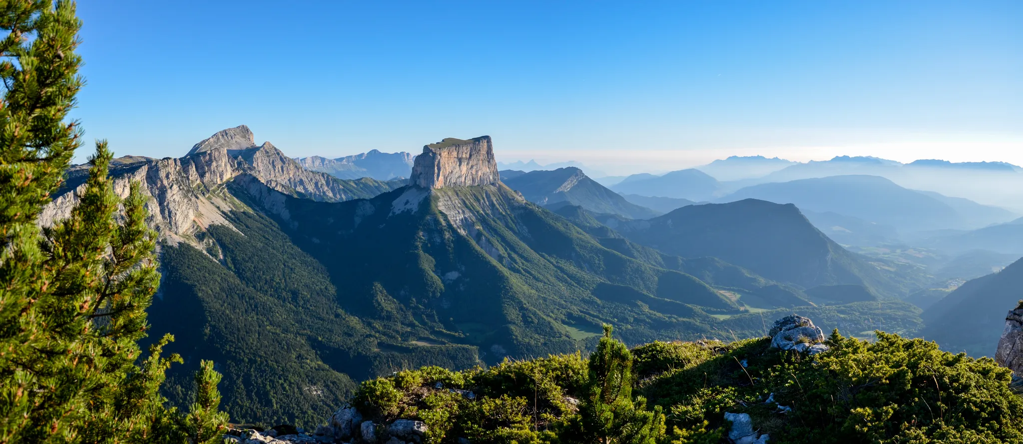
Grand Tour of the Vercors – first section
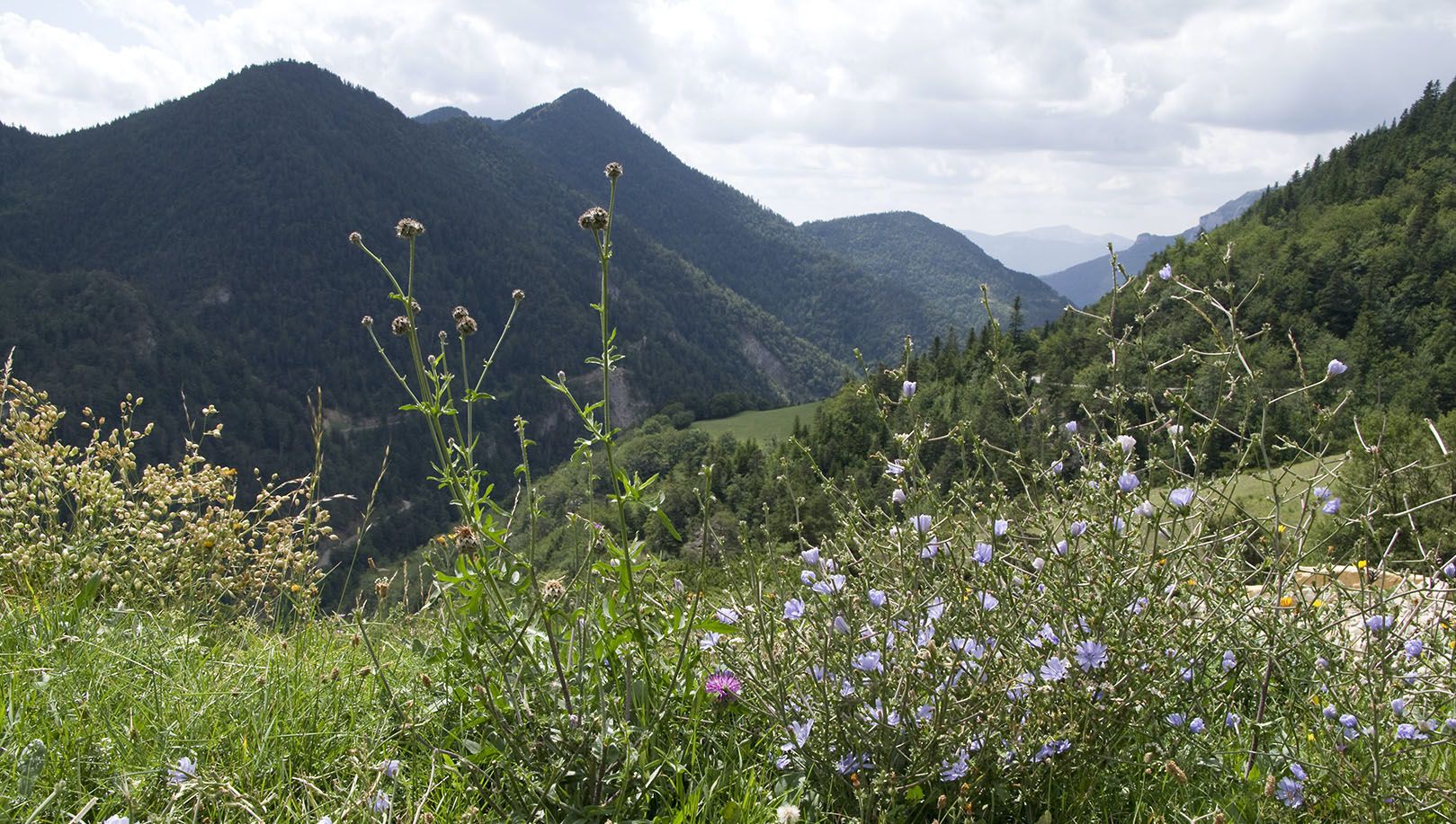
Celebrate the arrival of spring – hike from Savoie to Provence in France

Écrins, Belledonne and Vercors – HexaTrek, Hautes-Alpes
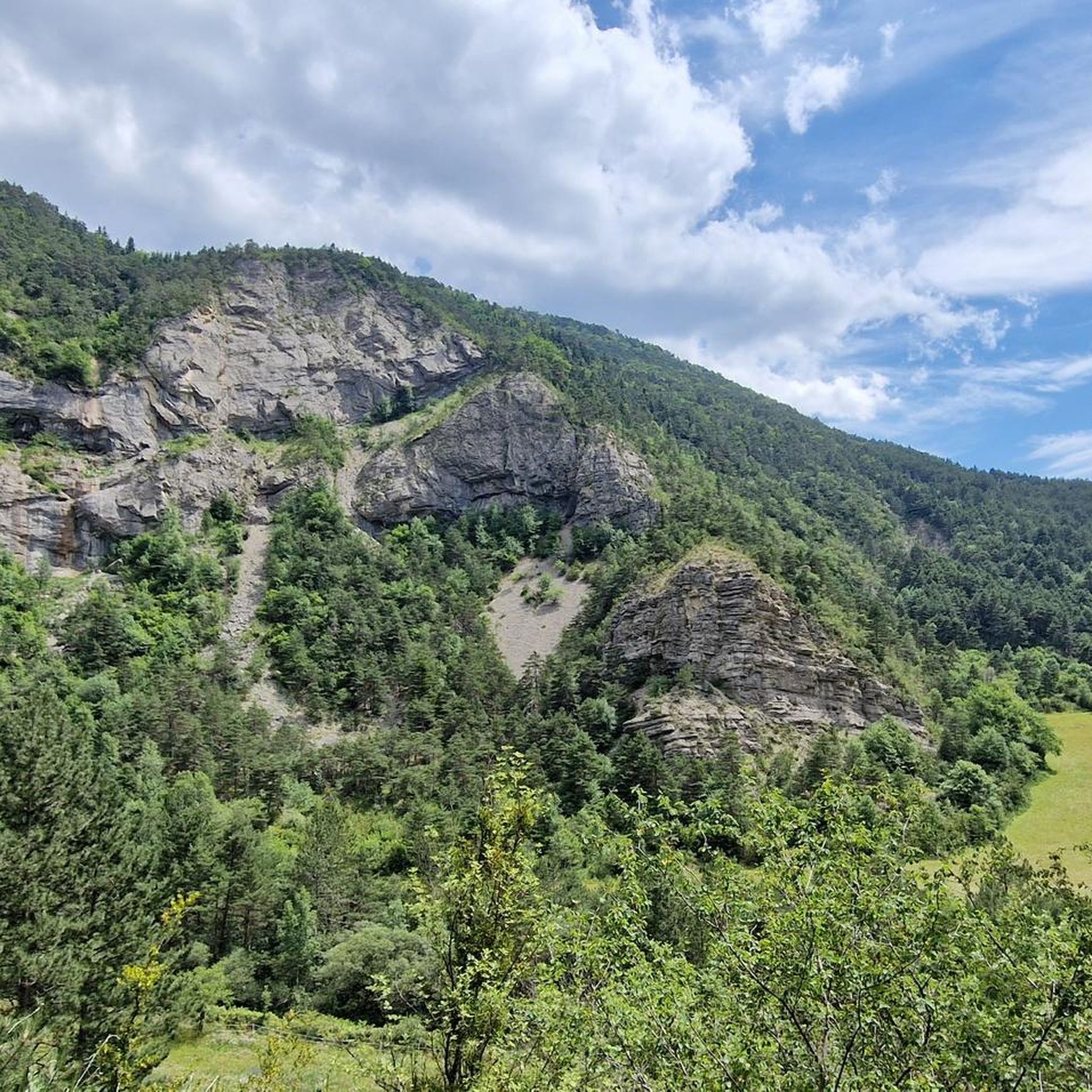
Hiking around Treschenu-Creyers
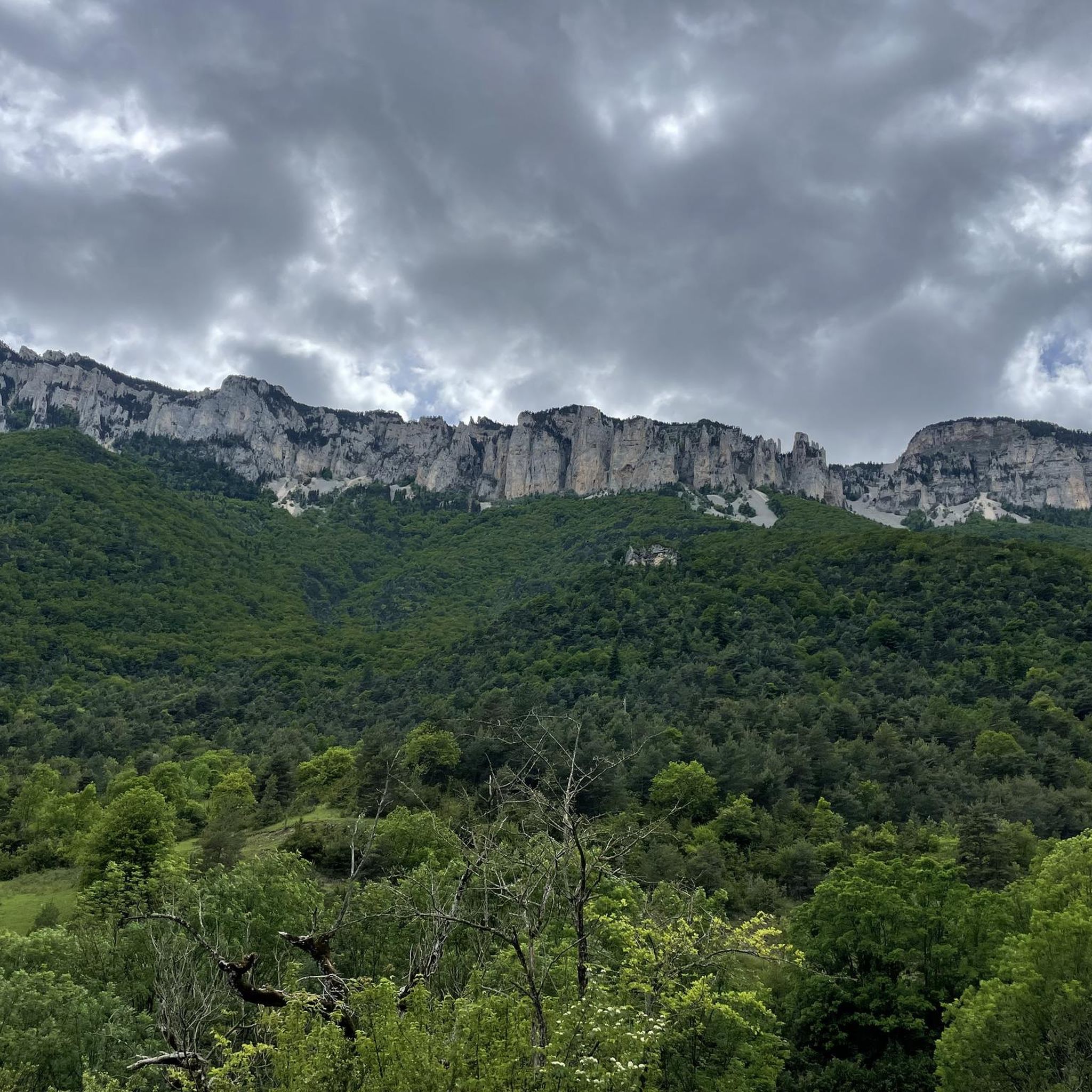
Road Cycling Routes around Treschenu-Creyers
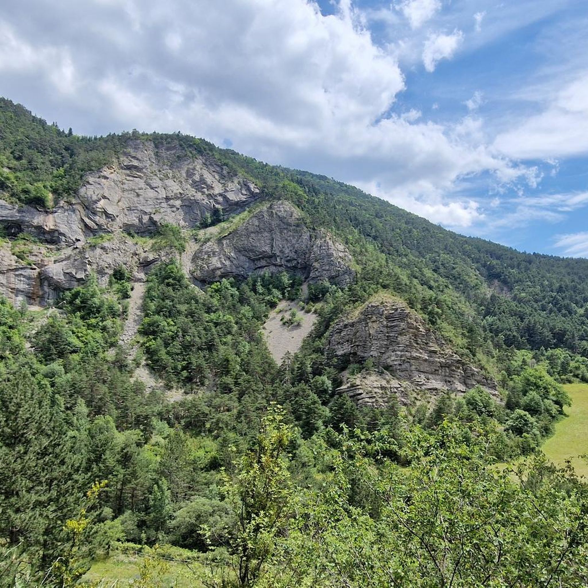
Cycling around Treschenu-Creyers
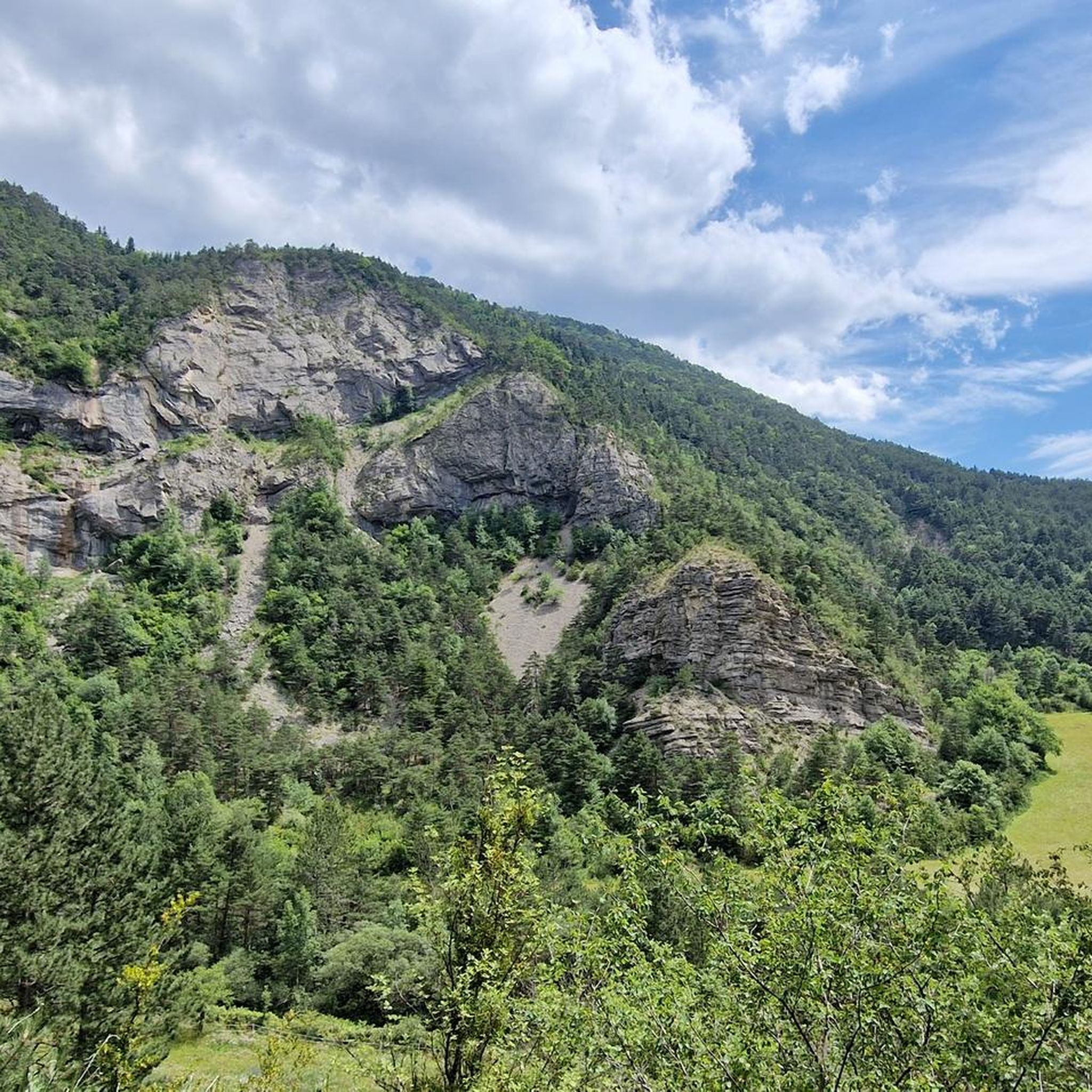
MTB Trails around Treschenu-Creyers
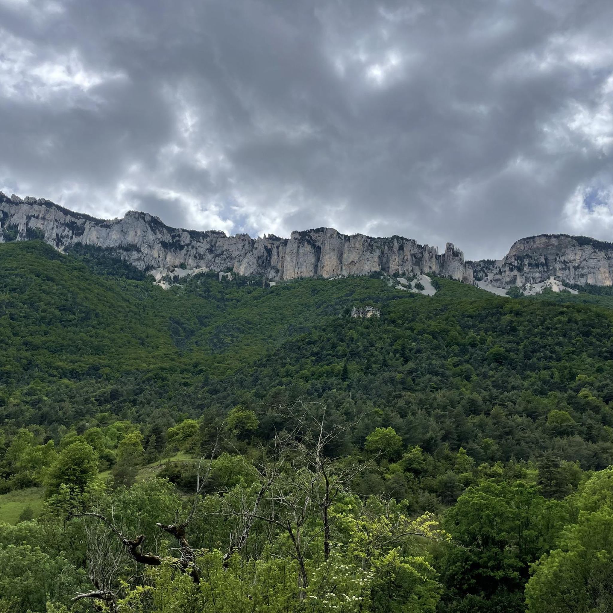
Running Trails around Treschenu-Creyers
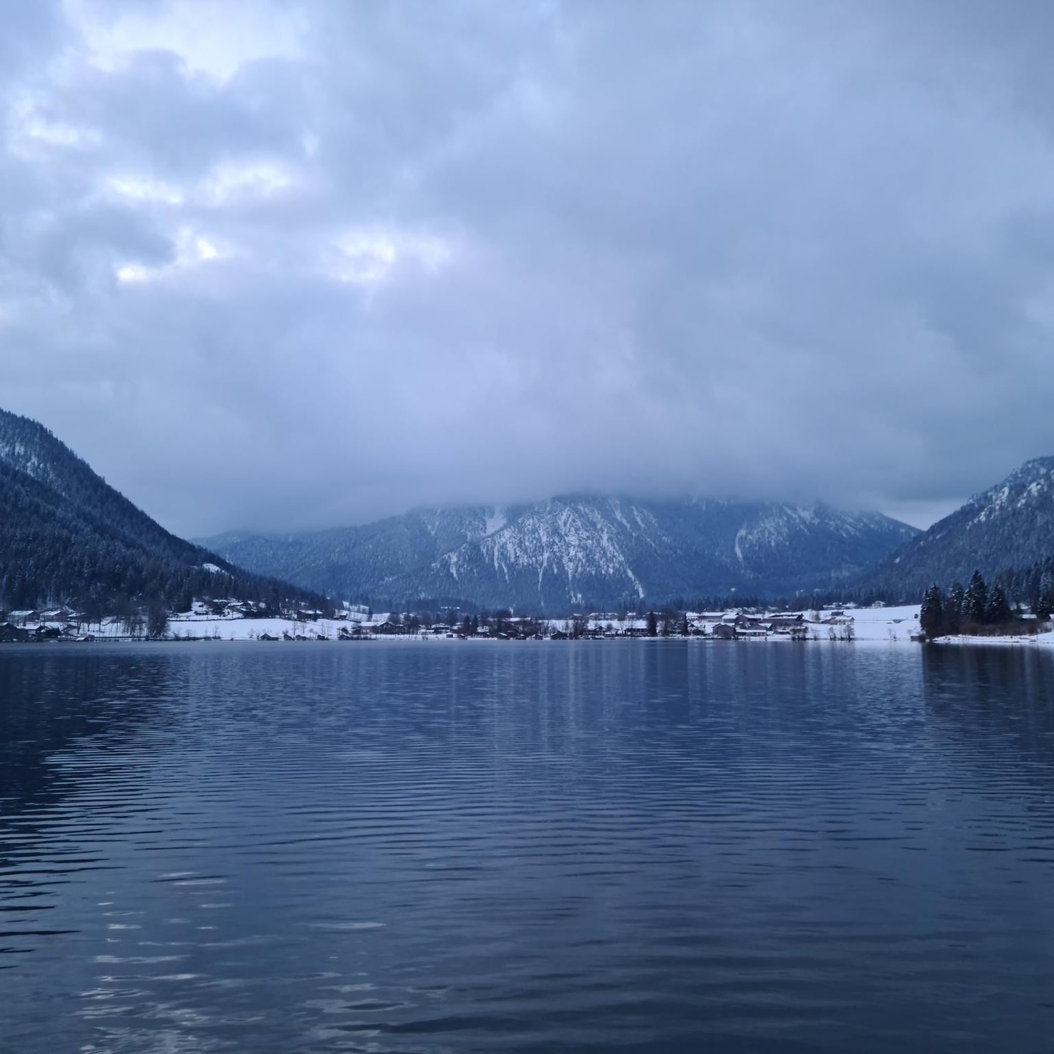
Gravel biking around Treschenu-Creyers
Other adventures around Treschenu-Creyers


Tips from the Community

From here, a wide and evocative view opens up over the surrounding landscape, with valleys, mountains, and small villages that follow one another on the horizon.
8
0


Breathtaking view of the two very distinctive peaks.
1
0

A great place! From here you have an excellent view of the surrounding mountains, especially the ridge of the Grand Veymont and (it feels like) the entire Vercor plateau When I climbed in September 2023, the access from the south (as here in the Komoot tour suggestions) was closed due to construction work. I therefore had to start from the east, see my tour.
0
0

Path is 30 cm wide. Next to it an abyss. Stay away if you suffer from vertigo.
0
0

hello, I am new to this site, Komoot announces 2 to 3 days to do this beautiful hike, is this real? or simply an error on their part? Sincerely
0
1

The Col de Menée is a pass in the French Alps, located between the Vercors and Diois massifs, in the communes of Percy and Treschenu-Creyers, in the Auvergne-Rhône-Alpes region, at 1,457 m above sea level. It is considered the limit between Trièves and Diois.
0
0
Frequently Asked Questions
How many mountaineering routes are available around Treschenu-Creyers?
There are 4 mountaineering routes detailed in this guide for the Treschenu-Creyers area. These routes offer a mix of moderate and difficult challenges, traversing varied elevations and mountain passes.
Are there any beginner-friendly mountaineering routes in Treschenu-Creyers?
While there are no routes specifically graded as 'easy' in this selection, several moderate options are available. For instance, the Die – Pas de Gralatte loop from Die is a moderate 7.1-mile trail, offering a good introduction to the region's terrain without extreme difficulty. Another moderate choice is the Mont Barral loop from Col de Menée.
Where can I find challenging mountaineering routes in Treschenu-Creyers?
For those seeking a challenge, the Selle Pass loop from Richardière is a difficult 9.8-mile route known for significant elevation gain and panoramic views. Another demanding, shorter option is the Mountaineering loop from Point de Vue du Col du Rousset, which offers scenic vistas from the Col du Rousset viewpoint.
Are there circular mountaineering routes in Treschenu-Creyers?
Yes, many of the routes in this guide are circular. Examples include the popular Selle Pass loop from Richardière, the Die – Pas de Gralatte loop from Die, and the But de Nève loop from Col de Rousset.
What can I see along the mountaineering routes in Treschenu-Creyers?
The routes often lead through cols and offer expansive views of the surrounding mountainous terrain. You can also explore nearby attractions such as the Col de Rousset, the historic town of Die, or even the impressive Grand Veymont summit.
Are there any interesting landmarks or natural features to explore near Treschenu-Creyers?
Beyond the trails, the region boasts several notable landmarks. You can visit the Old Town of Die for a historical perspective, or discover natural wonders like the Gorges des Gâts. The View of the Vercors cliffs also offers a stunning panoramic vista.
What do other mountaineers enjoy the most about mountaineering in Treschenu-Creyers?
The area is highly rated by the komoot community, with an average score of 5.0 stars from over 5 reviews. Mountaineers often praise the varied terrain, the challenging ascents, and the rewarding panoramic views from the mountain passes and cols.
Can I bring my dog on mountaineering trails in Treschenu-Creyers?
While many trails in France are dog-friendly, it's always best to check specific local regulations, especially within protected areas or national parks, as rules can vary. Ensure your dog is well-behaved, on a leash where required, and that you carry out all waste.
What is the best time of year for mountaineering in Treschenu-Creyers?
The French Alps region, including Treschenu-Creyers, is generally best for mountaineering from late spring through early autumn (May to October). During these months, trails are typically free of snow, and weather conditions are more stable, offering clearer views and safer passage. Always check local weather forecasts before heading out.
Are there options for multi-day mountaineering routes in Treschenu-Creyers?
This guide focuses on day routes, but the region's extensive network of trails and mountain huts (refuges) in the wider Vercors Massif allows for multi-day expeditions. You would need to plan your itinerary to connect several routes or sections, ensuring you have accommodation or bivouac options along the way.
Is parking available at the trailheads for mountaineering routes?
Parking is generally available at common starting points for popular routes, such as near Richardière, Col de Menée, or Col de Rousset. However, specific parking availability can vary, especially during peak season. It's advisable to check route descriptions or local information for precise parking details before your trip.
Most popular routes around Treschenu-Creyers
Most popular attractions around Treschenu-Creyers

Get inspired with the komoot mobile app


Explore more
Browse the best Mountain Hikes & Routes in other regions.
