The best mountain hikes around Lacs de Crupillouse
5.0
(9)
47
hikers
8
hikes
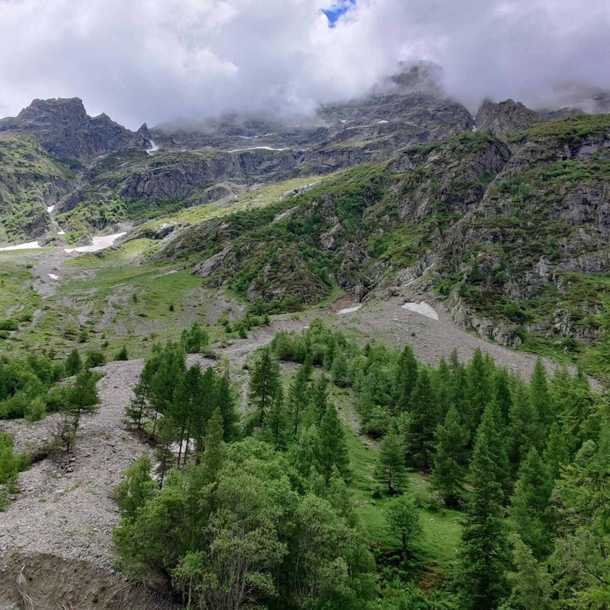
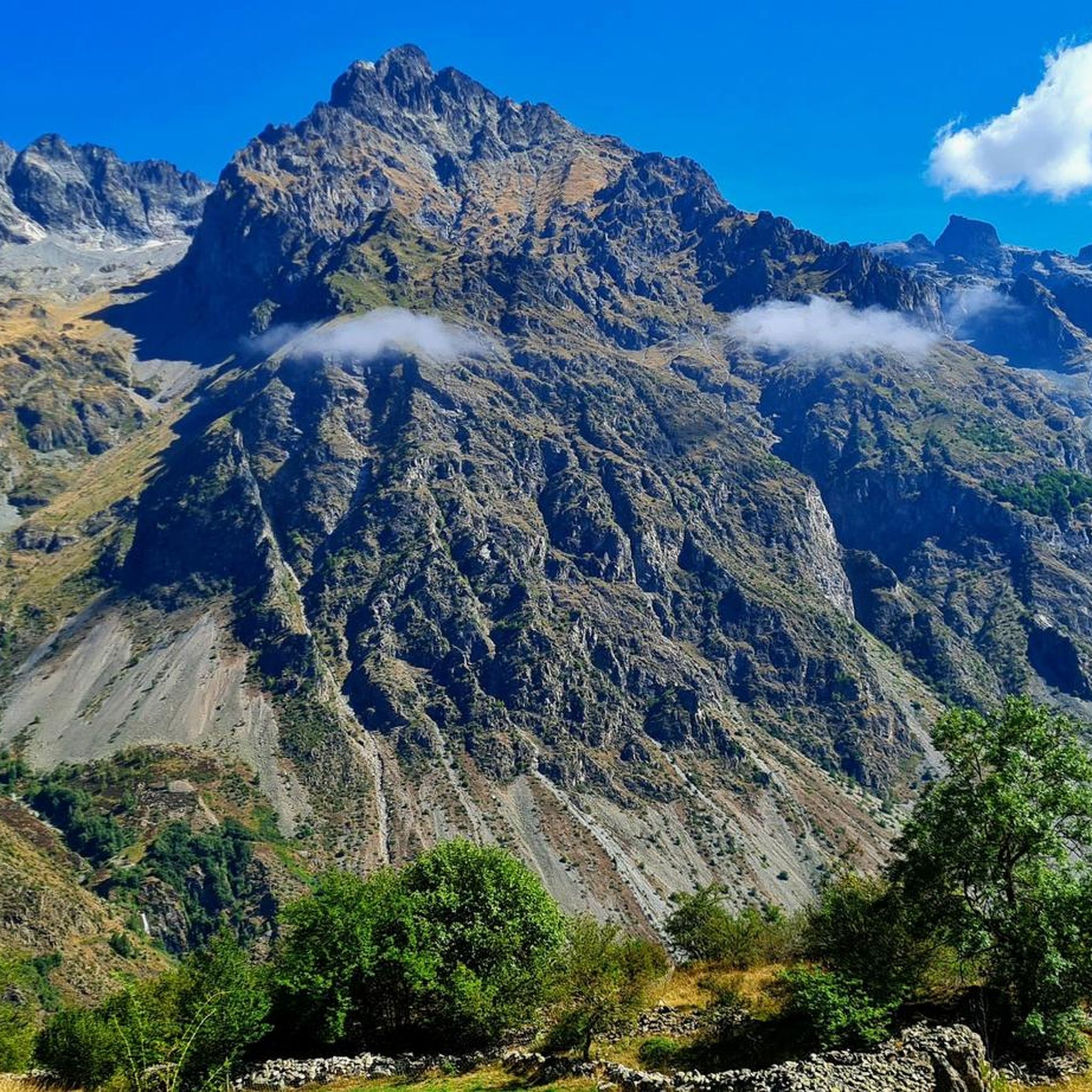
Mountaineering routes around Lacs de Crupillouse are situated within the French Hautes-Alpes, specifically in the Écrins National Park, offering a challenging high-altitude environment. The region is characterized by deep glacial lakes, a series of waterfalls, and ancient glacial cirques with striking white-pink gneiss rocks. Peaks like Pointe des Estaris (3086m) and Sirac (3440m) define the panoramic vistas.
Best mountaineering routes around Lacs de Crupillouse
- The most popular mountaineering route is Refuge du Tourond loop from Champoléon, a 5.2 miles…
Last updated: October 7, 2026
5.0
(3)
7
hikers
8.36km
03:14
390m
390m
Moderate mountaineering route. Good fitness required. Mostly accessible paths. Sure-footedness required.
5.0
(1)
12
hikers
Hard mountaineering route. Very good fitness required. Mostly accessible paths. Sure-footedness required.

13
hikers
Hard mountaineering route. Very good fitness required. Sure-footedness, sturdy shoes and alpine experience required.
5.0
(4)
5
hikers
Hard mountaineering route. Very good fitness required. Mostly accessible paths. Sure-footedness required.
2
hikers
Hard mountaineering route. Very good fitness required. Sure-footedness, sturdy shoes and alpine experience required.
Get access to more routes and recommendations from other explorers.
Already have an account?
Our route recommendations are based on thousands of hikes, rides, and runs completed by other people on komoot.
Start today with a free account
Your next adventure awaits.

Tips from the Community

Small refuge with spectacular views of the north face of Pico Vallonpierre.
0
0
Beautiful guarded refuge at the foot of Pico Vallonpierre. From the refuge, you can reach the Col de Vallonpierre which communicates with the Champoleón Valley.
0
0
Small lake at the foot of Pico Vallonpierre and next to the beautiful refuge of the same name. Demanding climb.
0
0
Beautiful mountain refuge at the foot of the Gioberney Glacier cirque.
0
0
Beautiful lake in the Circo de Gioberney.
0
0


Just above the hut, there are several beautiful campsites hidden behind some rocks, offering panoramic views of the Sirac. You can camp here and eat at the hut.
1
0

A nice place for a well-deserved break...
0
0
Frequently Asked Questions
What kind of terrain can I expect on mountaineering routes around Lacs de Crupillouse?
The terrain around Lacs de Crupillouse is primarily a challenging high-altitude environment, characterized by a 'mineral setting' with striking white-pink gneiss rocks polished by glacial erosion. Routes often involve significant elevation gain and can include rocky ascents, such as the notable 'Pas de l'Ours'.
Are there any routes that feature waterfalls in the Lacs de Crupillouse area?
Yes, the ascent to the Crupillouse Lakes is particularly known for following a series of captivating waterfalls, adding a picturesque element to the demanding journey through the high mountains.
Can I find circular mountaineering routes in Lacs de Crupillouse?
Absolutely. Many mountaineering routes in the area are designed as loops. For example, you could explore the Refuge du Tourond loop from Champoléon, a moderate 8.4 km trail, or the more challenging Lac de Vallonpierre loop from Réserve naturelle de la haute vallée de la Séveraisse, which covers 14 km through high mountain terrain.
What kind of wildlife might I encounter while mountaineering in this region?
Lacs de Crupillouse is a haven for wildlife. You have a good chance of spotting Ibex, especially around the Amblard site, and approximately sixty Chamois inhabit the Crupillouse valley, often seen near the Pas de l'Ours. The rare Rock Ptarmigan also breeds in the mineral environment around the lakes.
What are some notable landmarks or viewpoints along the mountaineering routes?
Beyond the stunning Crupillouse Lakes themselves, the demanding climbs offer breathtaking panoramic views of majestic peaks like Pointe des Estaris (3086m) and Sirac (3440m), as well as the expansive Drac de Champoléon valley. The Pic de Parières (3076 meters) also dramatically overlooks the lakes.
Is public transport available to reach the trailheads for mountaineering routes?
While the region is within the Écrins National Park, specific public transport options directly to remote trailheads like those near Les Baumes or Réserve naturelle de la haute vallée de la Séveraisse can be limited. It's advisable to check local transport schedules or consider private vehicle access for most convenient access to the starting points.
Are there any specific regulations or permits required for mountaineering in Écrins National Park?
As Lacs de Crupillouse is located within the Écrins National Park, there are regulations in place to protect the natural environment. These typically include rules regarding camping, waste disposal, and respecting wildlife. While general hiking usually doesn't require permits, it's always wise to consult the official Écrins National Park website for the most current guidelines, especially for specific activities or sensitive areas.
Are there any family-friendly mountaineering options around Lacs de Crupillouse?
The mountaineering routes around Lacs de Crupillouse are generally described as strenuous and challenging, often involving significant elevation gain and rocky terrain. While there is one easy route available, most are moderate to difficult, making them less suitable for young children or those new to mountaineering. For families, it's crucial to assess the difficulty and length of each route carefully.
What is the best time of year for mountaineering in Lacs de Crupillouse?
The prime season for mountaineering in Lacs de Crupillouse is typically from late spring to early autumn. During early season, you might witness the lakes still partially covered in snow, creating a 'turquoise ring of thawing ice.' Spring and autumn also offer excellent opportunities for observing Chamois. Always check local weather conditions and trail status before heading out, as high-altitude conditions can change rapidly.
Where can I park when accessing the mountaineering trails?
Trailheads for routes like the Lac du Lauzon loop from Réserve naturelle de la haute vallée de la Séveraisse or the Glacier des Rouies – Refuge du Pigeonnier loop typically have designated parking areas. These are often found near the entry points to the valleys or nature reserves, such as in Champoléon or near the Réserve naturelle de la haute vallée de la Séveraisse. Always arrive early, especially during peak season, as parking can be limited.
What do other mountaineers appreciate most about the routes here?
The komoot community highly rates the mountaineering routes around Lacs de Crupillouse, with an average score of 4.9 stars. Mountaineers frequently praise the challenging yet rewarding nature of the trails, the stunning high-altitude landscapes, the deep glacial lakes, and the breathtaking panoramic views of surrounding peaks like Sirac and Pointe des Estaris.
Are dogs allowed on the mountaineering routes in Lacs de Crupillouse?
As Lacs de Crupillouse is situated within the Écrins National Park, specific regulations apply to dogs. Generally, dogs are not permitted off-leash and may be restricted in certain sensitive areas to protect wildlife and the natural environment. It's essential to check the current rules and designated zones on the official Écrins National Park website before bringing your dog.
How many mountaineering routes are available in the Lacs de Crupillouse area?
There are over 9 distinct mountaineering routes documented around Lacs de Crupillouse, ranging in difficulty from easy to difficult. This variety ensures options for different skill levels, though the region is predominantly known for its more challenging high-mountain excursions.
Most popular routes around Lacs de Crupillouse

Get inspired with the komoot mobile app


Explore more
Browse the best Mountain Hikes & Routes in other regions.
