The best walks and hikes around Lacs de Crupillouse
4.7
(667)
6,440
hikers
72
hikes
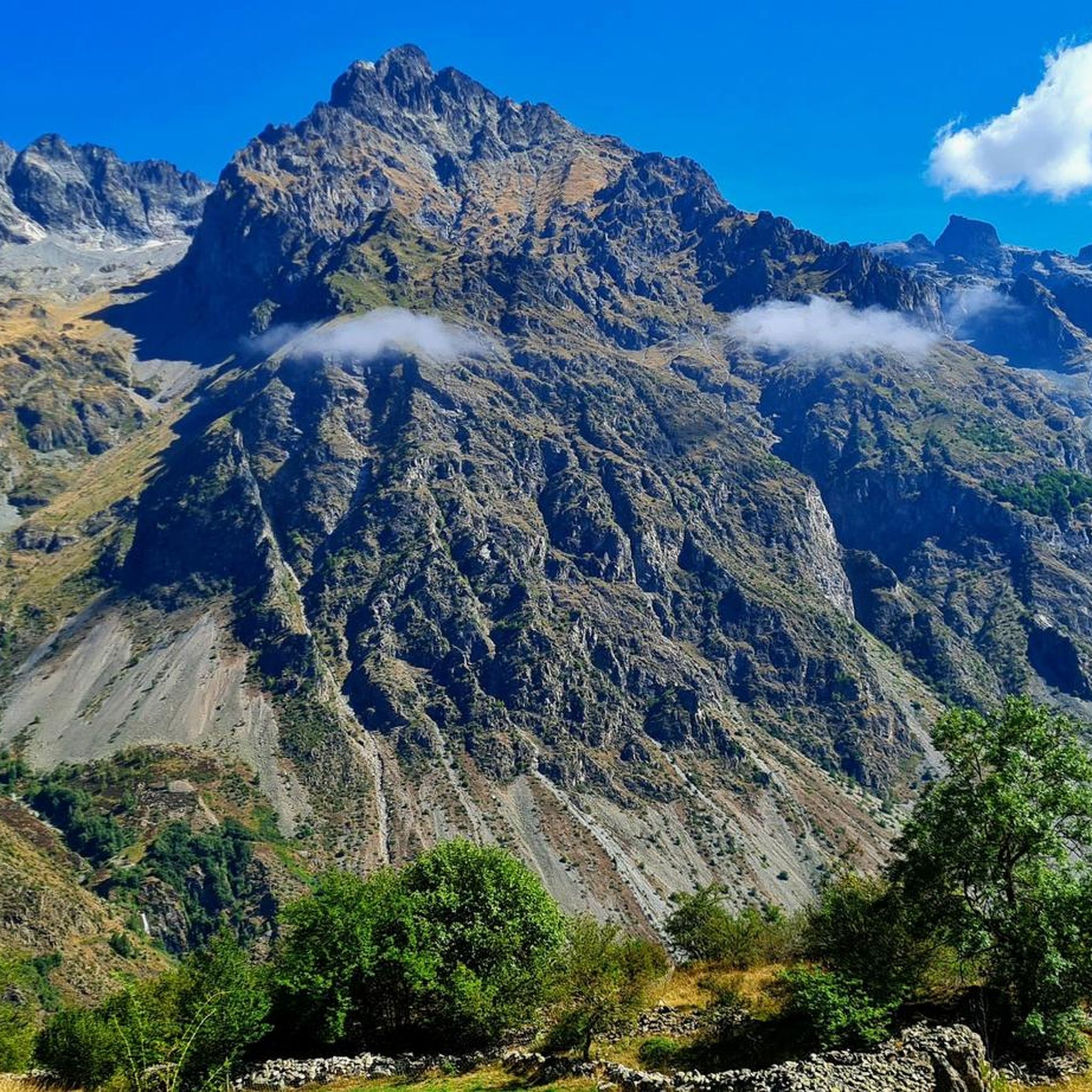
Hiking around Lacs de Crupillouse offers challenging trails through a high-altitude, mineral-rich environment within the Écrins Massif. The region is characterized by a chain of seven glacial lakes, notably the superior and inferior lakes, set within an ancient glacial cirque. White-pink gneiss rocks, smoothly polished by glacial erosion, are a prominent geological feature, alongside numerous waterfalls and cascades. Panoramic views across the Drac de Champoléon valley and towards the Pic de Parières reward the strenuous ascents.
Best hiking trails around…
Last updated: October 4, 2026
4.7
(13)
129
hikers
18.5km
07:16
1,340m
1,340m
Hard hike. Very good fitness required. Easily-accessible paths. Suitable for all skill levels.
4.0
(1)
29
hikers
14.4km
04:51
440m
440m
Moderate hike. Good fitness required. Mostly accessible paths. Sure-footedness required.

4.5
(14)
175
hikers
8.96km
03:21
330m
330m
Moderate hike. Good fitness required. Mostly accessible paths. Sure-footedness required.
4.6
(8)
59
hikers
21.8km
10:42
1,460m
1,460m
Hard hike. Very good fitness required. Sure-footedness, sturdy shoes and alpine experience required.
4.3
(3)
46
hikers
18.8km
08:19
1,120m
1,120m
Hard hike. Very good fitness required. Sure-footedness, sturdy shoes and alpine experience required.
Get access to more routes and recommendations from other explorers.
Already have an account?
Our route recommendations are based on thousands of hikes, rides, and runs completed by other people on komoot.
Start today with a free account
Your next adventure awaits.


Tips from the Community

A climb with gentle slopes.
16
0

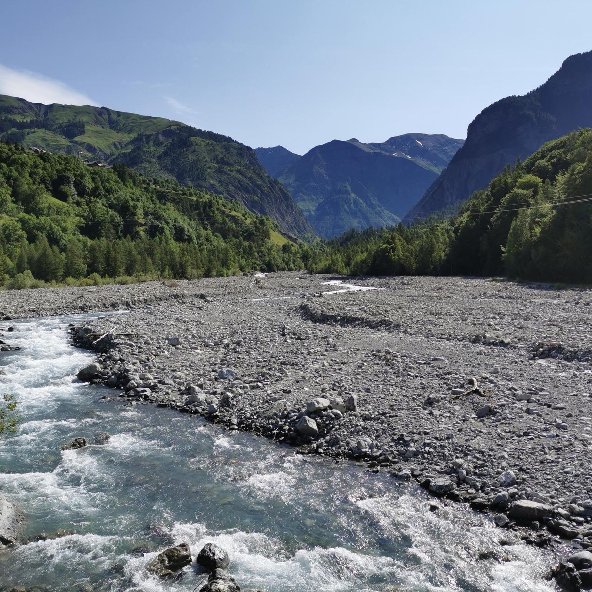
The red and yellow marked hiking trail has disappeared at this point. The steep bank of the Drac has eroded the section and destroyed the path.
1
0
Officially, the path is closed from here (as of May 2024). After severe storms in October 2023, the path is destroyed further along.
0
0

Magnificent place accessible by easy and well marked paths. Possibility to drink a beer, a coffee or a lemonade on the terrace in summer. Possibility to eat also.
0
0

The end of the road in the Drac Blanc valley. The climb has a nice steady 3-4% grade with a max grade of 9% in a short section.
2
0

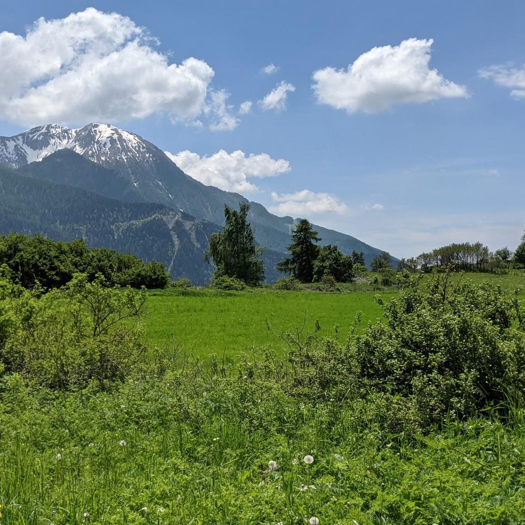
The climb to the Crupillouse lakes offers magnificent views of the Haut Champsaur valley from the start.
0
0
A little before arriving at the lakes of Crupillouse, this magnificent stop which plunges into the valley is in front of us.
0
0
If the water level is not too high you can easily go to the last large lake via the small intermediate lakes.
0
0
Frequently Asked Questions
How many hiking trails are available around Lacs de Crupillouse?
There are over 60 hiking trails in the Lacs de Crupillouse area, catering to various skill levels. You'll find a good mix of easy, moderate, and difficult routes to explore.
What are the main natural features to see while hiking in Lacs de Crupillouse?
Hikers will encounter a stunning chain of seven glacial lakes, with the superior and inferior lakes being the largest. The landscape is also characterized by unique white-pink gneiss rocks, smoothly polished by ancient glaciers, and numerous waterfalls and cascades that enhance the visual appeal of the ascent. You'll also be treated to magnificent panoramic views across the Drac de Champoléon valley.
Are there any easy or moderate hiking options in Lacs de Crupillouse?
Yes, while many routes are challenging, there are options for moderate hikers. For example, the Prelles Waterfall – Refuge de la Chaumette loop from Les Clots is a moderate 14.5 km trail featuring waterfalls and alpine scenery. There are 27 moderate and 13 easy routes available in the region.
What kind of wildlife can I expect to see in the Lacs de Crupillouse area?
The region is rich in alpine wildlife. You might spot Ibex, especially in the Aiguilles de Crupillouse during summer, and approximately sixty chamois are regular inhabitants of the Crupillouse valley. The area is also a breeding ground for the Rock Ptarmigan, and you might even encounter the distinctive 'Popeye' locust.
What is the best time of year to hike around Lacs de Crupillouse?
The best time to hike is generally during the warmer months. However, due to the high-altitude, mineral-rich environment, snow can linger on north-facing rock flanks even in summer, and higher lakes can remain ice-bound until June in colder years. Starting your hike early in the day is recommended, as southern slopes warm quickly and clouds often gather over the lakes by early afternoon in summer.
Are there any circular hiking routes available?
Yes, several routes offer a circular experience. Popular options include the moderate Prelles Waterfall – Refuge de la Chaumette loop from Les Clots and the more challenging Waterfalls – Lake Crupillouse loop from Les Baumes, which takes you to the glacial lakes.
What makes the hiking trails in Lacs de Crupillouse challenging?
The trails are known for being long and arduous, featuring numerous switchbacks, crossings, and substantial elevation gains, often exceeding 1,300 meters. Hikers navigate rocky inclines, scree slopes, and sections above cascading waters, making for a demanding yet rewarding experience.
Can I bring my dog on the trails in Lacs de Crupillouse?
While the region is part of the Écrins Massif, which has specific regulations for dogs, generally, dogs are permitted on a leash on many trails outside the core zone of the National Park. Always check local signage and specific trail regulations before heading out with your dog, especially in protected alpine environments.
Are there opportunities for wild camping or bivouacking near the lakes?
Yes, opportunities for bivouacking are available in select flat areas overlooking the lakes. This allows hikers to experience the serene beauty of the high-altitude environment overnight, but always adhere to local regulations and leave no trace.
What do other hikers say about the trails in Lacs de Crupillouse?
The trails in Lacs de Crupillouse are highly rated by the komoot community, with an average score of 4.7 stars from over 550 reviews. Hikers often praise the breathtaking alpine landscapes, the unique glacial lakes, and the rewarding panoramic views after strenuous ascents.
Are there any historical points of interest along the hiking routes?
Yes, hikers can discover an old refuge along the trail. This refuge once housed workers involved in a hydroelectric project to merge two lakes in the 1910s, adding a touch of historical intrigue to your journey.
What are the typical durations for hikes in this region?
Hike durations vary significantly based on difficulty and length. Moderate routes like the Prelles Waterfall – Refuge de la Chaumette loop from Les Clots can take around 5 hours, while more difficult and longer trails, such as the Refuge de la Chaumette – Prelles Waterfall loop from Massif des Écrins, can take over 10 hours to complete.
Most popular routes around Lacs de Crupillouse

Get inspired with the komoot mobile app


Explore more
Browse the best Hikes in other regions.
