The best walks and hikes around Urrea De Gaén
5.0
(2)
40
hikers
5
hikes
Hiking around Urrea De Gaén offers exploration within the Bajo Martín region, characterized by the natural borders of the Iberian Mountain Range. The landscape features riverine environments along the Martín River, fertile plains, and historical sites. This area provides a varied terrain for outdoor activities, blending natural beauty with cultural heritage.
Best hiking trails around Urrea De Gaén
- The most popular hiking route is Circular del Val de Zafán y Río Martín, a 7.3 miles (11.8 km) trail that…
Last updated: June 29, 2026
11.8km
03:06
110m
100m
Moderate hike. Good fitness required. Mostly accessible paths. Sure-footedness required.
5.0
(1)
25
hikers
Moderate hike. Good fitness required. Easily-accessible paths. Suitable for all skill levels.

Sign up for free
5.0
(1)
10
hikers
4.72km
01:33
220m
220m
Easy hike. Great for any fitness level. Easily-accessible paths. Suitable for all skill levels.
3
hikers
16.3km
04:31
290m
290m
Moderate hike. Good fitness required. Easily-accessible paths. Suitable for all skill levels.
2
hikers
7.23km
01:58
100m
100m
Easy hike. Great for any fitness level. Easily-accessible paths. Suitable for all skill levels.
Our route recommendations are based on thousands of hikes, rides, and runs completed by other people on komoot.
Start today with a free account
Your next adventure awaits.
Login or Signup
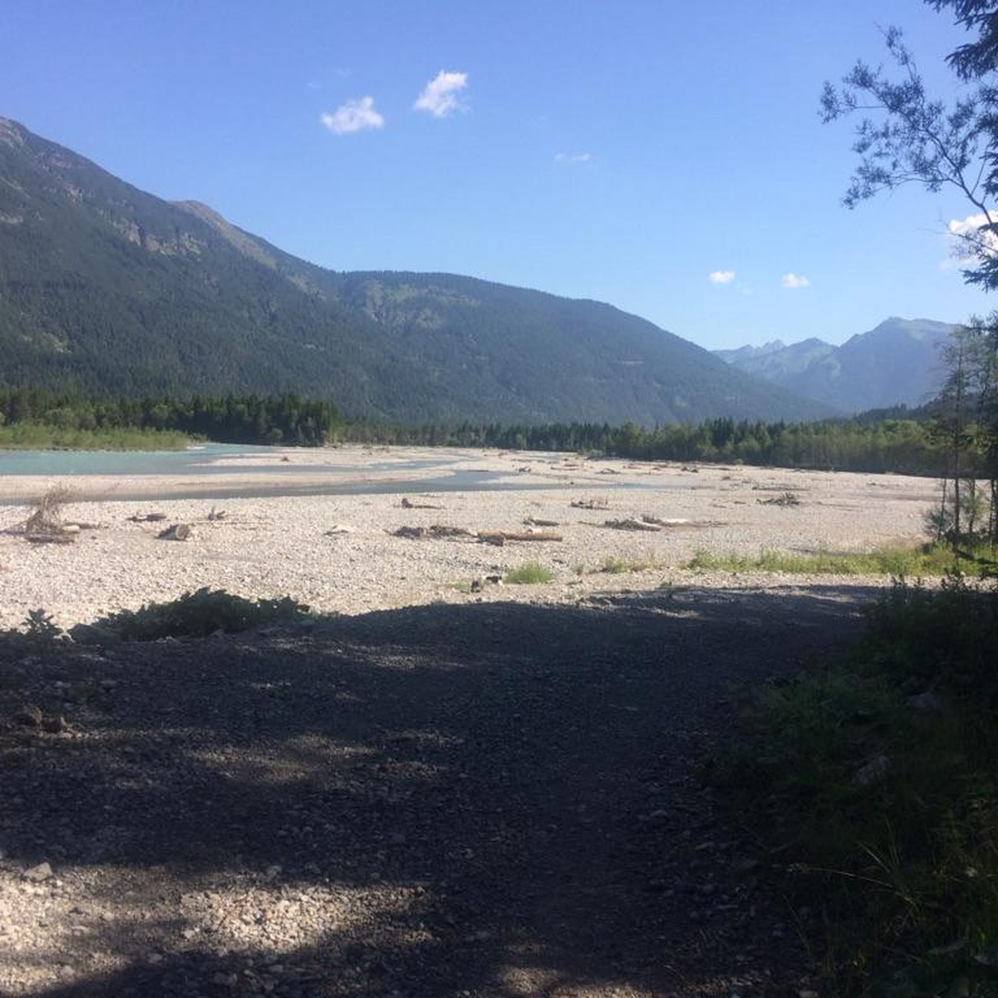
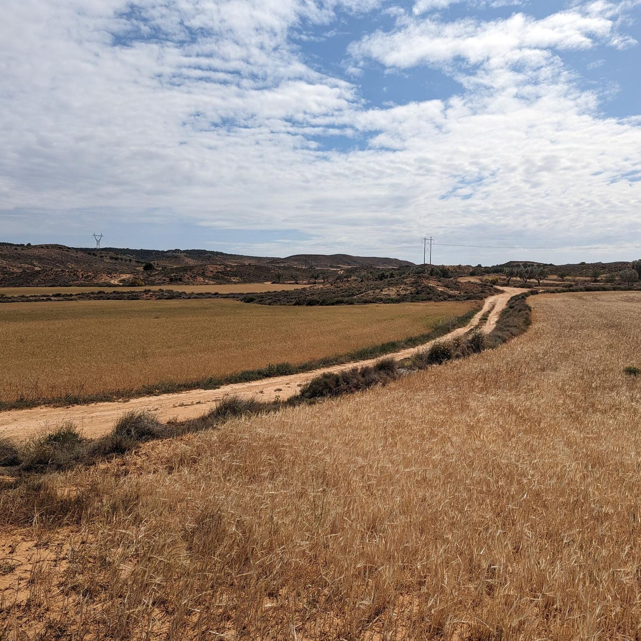
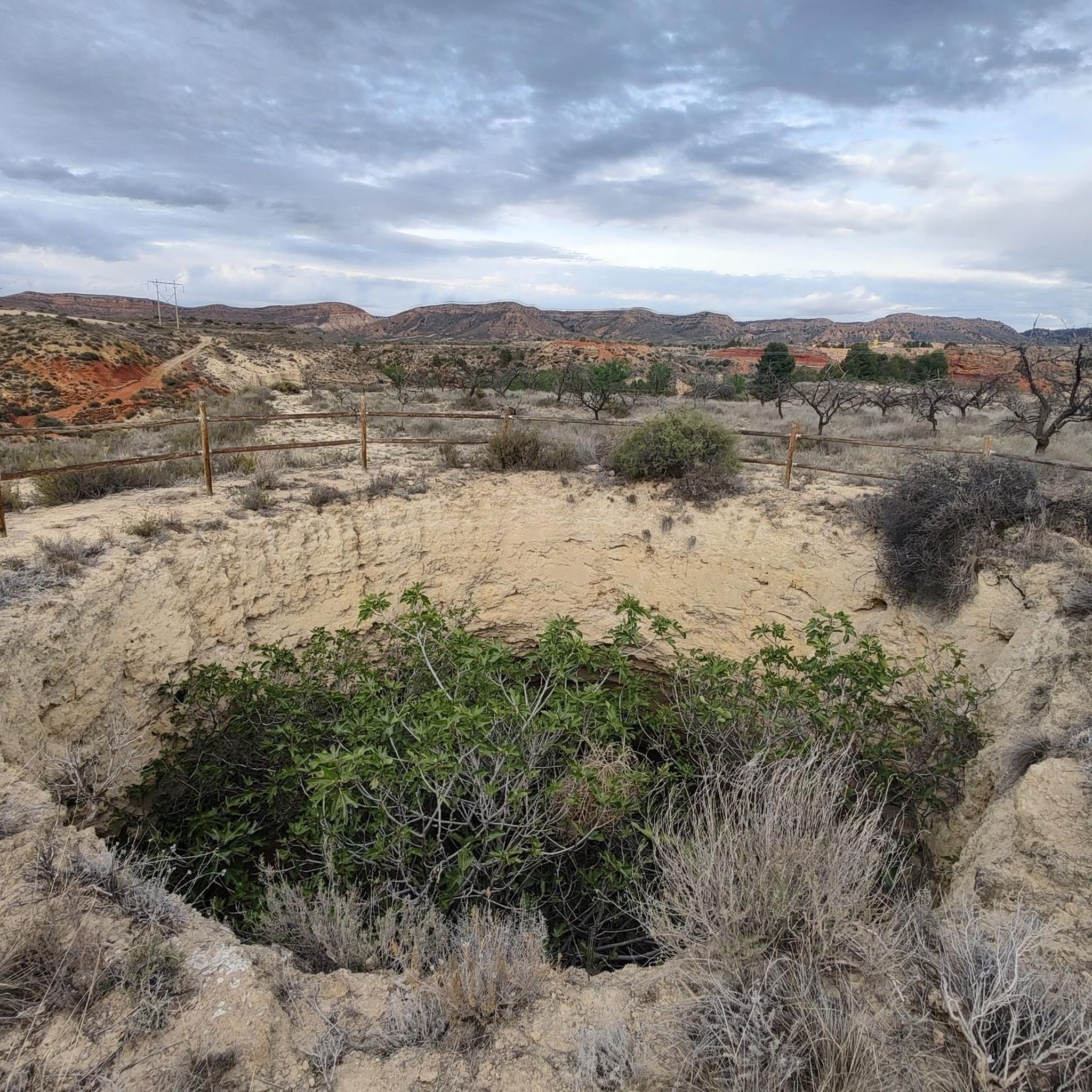

Tips from the Community

Its entire surroundings are masterful when you go close to its surroundings, once at the top it is spectacular
0
0
An easy via ferrata but starting by the dam causes respect, but it's fine in itself, and then the circular route is very pleasant.
0
0

Beautiful Mudejar church and curious sculptures. We have shops and a couple of fountains
0
0

The relief of the municipality is characterized by the so-called Calanda Desert, an arid area with little rainfall, only softened by the presence of the Martín River, which crosses the territory to the west. The Hermitage of Santa Quiteria is located towards the train station and to the left, you arrive at the hermitage, where water miraculously flows in such an arid land.
0
0
Beautiful greenway that was used in the past and is now a common route that connects the best-known towns in the area. Along the way you can see a set of bridges and tunnels that cross on both sides of the land that passes through it.
0
0

It is accessed by paths from the banks of the Martín, with fabulous views of the banks and the town of Samper de Calanda.
0
1

Located in the Sierra de Arcos, the Silleta viewpoint offers wonderful views of the entire area that surrounds us. We will also find an explanatory panel of the place.
1
0
The relief of the municipality is characterized by the presence of the river Martín, a tributary of the Ebro, which creates a characteristic valley near the town. The Martín river valley is a natural area with an important landscape, the steppes being one of the most peculiar environments in the area.
0
0
Frequently Asked Questions
How many hiking trails are available in Urrea de Gaén?
Urrea de Gaén offers a selection of 5 hiking trails, catering to various preferences. These routes explore the diverse landscapes of the Bajo Martín region, from riverine environments to historical sites.
Are there any easy hiking trails suitable for beginners or families?
Yes, there are easy options available. For instance, the Mirador de la Silleta loop from PR-TE 119 is an easy 2.9-mile (4.7 km) path that takes about 1 hour 33 minutes, offering panoramic views. Another easy option is the Híjar loop from Híjar, which is 4.5 miles (7.2 km) long.
Can I find circular hiking routes in the area?
Absolutely. Many trails in Urrea de Gaén are circular, allowing you to start and end in the same location. A popular choice is the Circular del Val de Zafán y Río Martín, a 7.3-mile (11.8 km) route that explores the riverine scenery of the Martín River.
What kind of landscapes can I expect to see while hiking around Urrea de Gaén?
The region is characterized by the natural borders of the Iberian Mountain Range, offering a blend of riverine environments along the Martín River, fertile plains, and historical landscapes. You'll encounter diverse terrain, from lush riverbanks to elevated viewpoints and areas rich in cultural heritage.
Are there any historical or cultural sites to explore on the trails?
Yes, the area is rich in history. The Cave of the Engravings – Los Chaparros Rock Shelter loop from Azud los Estrechos passes by significant historical rock shelters and engravings. The wider Río Martín Cultural Park, which includes parts of the GR 262, is renowned for prehistoric cave paintings designated as World Heritage Sites and connects various medieval towns. You can also find attractions like the La Torica Aqueduct and the Albalate del Arzobispo Historic Center nearby.
What do other hikers say about the trails in Urrea de Gaén?
The routes in Urrea de Gaén are highly rated by the komoot community, with an average score of 5.0 stars from over 2 reviews. Hikers often praise the varied terrain and the blend of natural beauty with cultural heritage found along the paths.
What is the best time of year to go hiking in Urrea de Gaén?
Spring and autumn are generally ideal for hiking in Urrea de Gaén, offering pleasant temperatures and vibrant landscapes. Spring brings wildflowers, while autumn showcases beautiful foliage. Summer can be warm, so early morning or late afternoon hikes are recommended, and winter offers a quieter experience, though some trails might be cooler.
Are there any trails that offer panoramic views?
Yes, the region features elevated vantage points. The Mirador de la Silleta loop from PR-TE 119 is a great option, leading through elevated terrain and offering panoramic views of the surrounding area and fertile plains.
Can I combine hiking with exploring nearby towns or attractions?
Absolutely. The trails often connect or pass near charming towns and historical sites. For example, the Hiking loop from Albalate del Arzobispo allows you to explore that town. You can also visit the Híjar settlement or the Hermitage of Santa Quiteria in Samper de Calanda, which are accessible from various routes.
Is there public transport available to reach trailheads in Urrea de Gaén?
While Urrea de Gaén is a smaller municipality, local bus services might connect it to larger towns in the Teruel province. However, for direct access to specific trailheads, especially those outside the main town, personal vehicle access is generally recommended for greater flexibility.
Where can I find parking when hiking in Urrea de Gaén?
Parking is typically available in the town centers of Urrea de Gaén and surrounding villages from where many trails begin. For specific trailheads, it's advisable to check local signage or maps for designated parking areas, especially near popular starting points like those for routes along the Río Martín.
Are there any long-distance hiking options in the Urrea de Gaén area?
Yes, the area is part of the larger GR 262 Río Martín, a 100-kilometer European Cultural Route. While Urrea de Gaén itself offers shorter and moderate trails, hikers can connect to sections of this long-distance path for extended trekking experiences that trace the course of the Martín River and its historical significance.
Most popular attractions around Urrea De Gaén

Get inspired with the komoot mobile app


Explore more
Browse the best Hikes in other regions.
