The best gravel rides in Mount Holyoke Range State Park
3.0
(1)
8
riders
3
rides
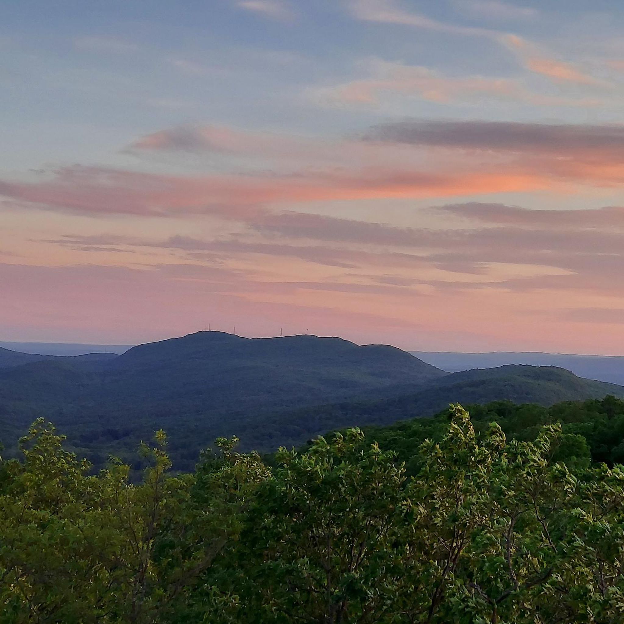
Gravel biking in Mount Holyoke Range State Park offers routes through a diverse landscape of approximately 3,000 acres. The park is characterized by a prominent 7-mile traprock ridgeline, part of the Metacomet Ridge, featuring basaltic formations and varied terrain. This includes sections of dirt and gravel roads, as well as paths suitable for gravel bikes. The park's east-west oriented ridgeline provides dynamic elevation changes and panoramic views of the Connecticut River and Pioneer Valley.
Best gravel bike trails in Mount…
Last updated: July 11, 2026
3.0
(1)
2
riders
20.8km
01:19
150m
150m
The Arcadia Wildlife Sanctuary – Main Street loop from Northampton offers a delightful blend of natural beauty and easy cycling. You'll pedal along a mix of paved and unpaved surfaces,…
2
riders
Hard gravel ride. Very good fitness required. Mostly paved surfaces. Suitable for all skill levels.

Sign up for free
3
riders
Hard gravel ride. Very good fitness required. Mostly paved surfaces. Suitable for all skill levels.
1
riders
Moderate gravel ride. Good fitness required. Mostly paved surfaces. Suitable for all skill levels.
Our route recommendations are based on thousands of hikes, rides, and runs completed by other people on komoot.
Start today with a free account
Your next adventure awaits.
Login or Signup

Tips from the Community

Right outside of Conway State Forest is the Roaring Brook Waterfall, which you can see from Whately Road. This is a great place to stop and snap a photo before continuing on your ride.
0
0

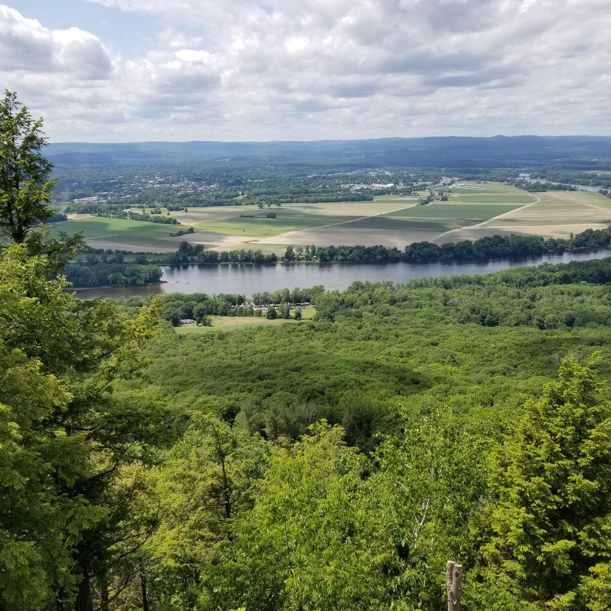
On this stretch of Northampton Street, you catch beautiful glimpses of the Connecticut River through the trees as you flash by on the bike. At 406 miles long, it is the longest river in New England, and it runs through four states.
1
0

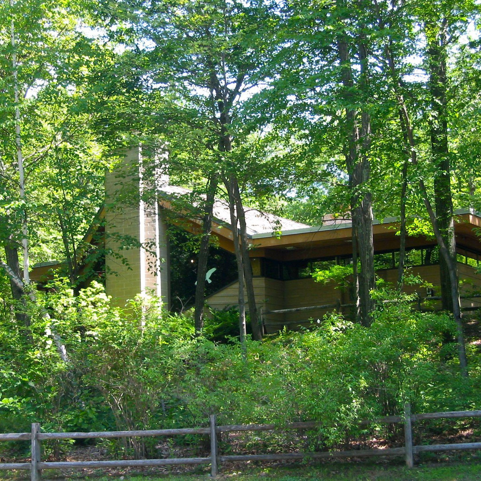
This lake is located within the Mount Tom State Reservation. If you're looking for a brief rest, you can stop at one of its picnic tables while enjoying the views and tranquility of the lake. In the fall, the array of colors from the tree leaves makes it even more beautiful.
1
0
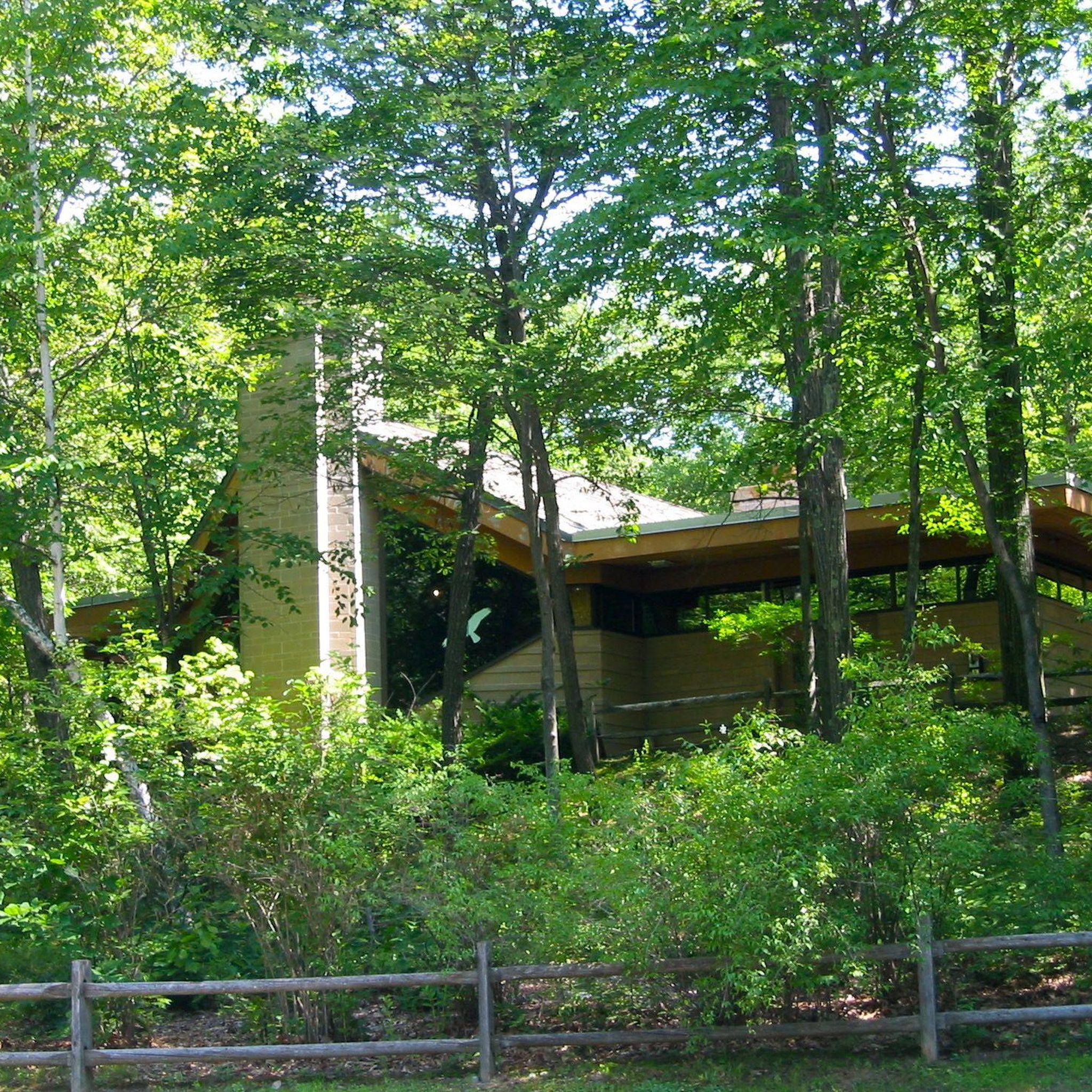
This lake is located within the Mount Tom State Reservation. If you're looking for a brief rest, you can stop at one of its picnic tables while enjoying the views and tranquility of the lake. In the fall, the array of colors from the tree leaves makes it even more beautiful.
1
0
Graves Farm Wildlife Sanctuary is managed by Mass Audubon. Before becoming a wildlife sanctuary, it was a thriving dairy farm for over 125 years. There is a 1.5 mile trail that takes visitors through diverse ecosystems, including mixed forests, untouched cold-water streams, and pastoral landscapes. The sanctuary is open daily from dawn to dusk.
0
0

Located between Easthampton & Northampton on the Connecticut River floodplain, Arcadia Wildlife Sanctuary is an important habitat for countless species. The Manhan Rail Trail passes along the edges of the park and is a great way to access the sanctuary by bike.
0
0
Whately Center Historic District includes the historic rural village center of Whately. There are many fine homes from the federal period, along with some of the towns civic buildings such as the town hall, school and chapel. All in all this is a delightfully quaint and charming areas.
0
0
The Fitzgerald Lake Conservation Area is a fantastic nature preserve for hikers, snowshoers, and trail runners. You can also go kayaking or fishing on the lake, where there are ample wildlife viewing and photography opportunities. Although the trail starts out as paved from the parking area off of North Farm Road, after a quarter of a mile it turns into dirt trails over roots and rocks, with wooden boardwalk sections after a wooden footbridge. There are several lookouts and benches along the lake for you to rest and relax at.
0
0
Frequently Asked Questions
What kind of terrain can I expect on gravel bike trails in Mount Holyoke Range State Park?
The park features a diverse landscape, including a prominent 7-mile traprock ridgeline with basaltic formations and varied terrain. You'll encounter sections of dirt and gravel roads, as well as paths suitable for gravel bikes. The "rollercoaster" landscape, formed by glacial meltwater channels, offers dynamic elevation changes and engaging rides.
Are there gravel biking routes suitable for beginners in Mount Holyoke Range State Park?
While the park offers routes with moderate and difficult ratings, some trails, like the "Trolley Bed Trail" mentioned in regional research, are known to be easy for novice riders, suggesting less technical terrain suitable for gravel bikes. Always check the route details for specific difficulty ratings before heading out.
What are some of the more challenging gravel biking routes in the park?
For a more challenging experience, consider routes like the Graves Farm Wildlife Sanctuary loop from Smith Vocational and Agricultural High School, which is 23.6 miles long with significant elevation gain. Another difficult option is the Graves Farm Wildlife Sanctuary – Rocks Road loop from Fitzgerald Lake Conservation Area, a 35.7-mile path with substantial climbing.
How long are the gravel biking routes in Mount Holyoke Range State Park?
The gravel biking routes in the park vary in length. For example, the Main Street – Arcadia Wildlife Sanctuary loop from Northampton is about 11.7 miles (18.9 km), while the Graves Farm Wildlife Sanctuary – Rocks Road loop from Fitzgerald Lake Conservation Area extends to 35.7 miles (57.4 km).
What natural features and viewpoints can I expect to see while gravel biking?
Mount Holyoke Range State Park offers spectacular panoramic views of the Connecticut River and the expansive Pioneer Valley. Key viewpoints include Mount Norwottock, the tallest peak, and the historic Summit House at the top of Mount Holyoke, which provides 360-degree views. The park's unique basaltic formations, cliffs, and talus slopes also add to the scenic beauty.
Are there any specific landmarks worth visiting along the gravel routes?
Yes, you can explore several interesting landmarks. The Horse Caves, a series of ledges and alcoves beneath Mount Norwottock, offer a unique natural feature. The historic Summit House on Mount Holyoke is also a notable attraction. You might also pass by the Notch Visitor's Center.
Are there family-friendly gravel biking options in Mount Holyoke Range State Park?
While specific 'family-friendly' routes aren't explicitly detailed in the guide, the park's diverse network includes less technical trails that could be suitable. The "Trolley Bed Trail" is mentioned as easy for novice riders, which might be a good starting point for families. Always assess the route's difficulty and elevation before riding with children.
What is the best time of year for gravel biking in Mount Holyoke Range State Park?
The park is particularly vibrant during the fall foliage season, offering stunning views. The auto road leading up Mount Holyoke is open to cyclists during spring, summer, and early fall, providing ideal conditions for gravel biking. The park's microclimate ecosystems also support diverse plant and animal communities throughout the warmer months.
Where can I park when visiting Mount Holyoke Range State Park for gravel biking?
Parking is generally available at various trailheads and access points within and around Mount Holyoke Range State Park. Specific parking information for individual routes can often be found in the detailed route descriptions on komoot, or by checking the park's official website.
Are there circular gravel biking routes available in Mount Holyoke Range State Park?
Yes, many of the gravel biking routes in the park are designed as loops. Examples include the Fort River Bridge – Bridge over the Fort River loop from Amherst, the Graves Farm Wildlife Sanctuary loop from Smith Vocational and Agricultural High School, and the Bray Lake – Rubber Thread Pond loop from Easthampton.
What do other gravel bikers enjoy the most about gravel biking in Mount Holyoke Range State Park?
The area is highly rated by the komoot community, with an average score of 3.0 stars. Reviewers often praise the diverse terrain, the dynamic elevation changes provided by the traprock ridgelines, and the stunning panoramic views of the Connecticut River and Pioneer Valley.
Most popular routes in Mount Holyoke Range State Park
Most popular attractions in Mount Holyoke Range State Park

Get inspired with the komoot mobile app


Explore more
Browse the best Gravel rides in other regions.
