The best gravel rides in Matthew Henson State Park
4.5
(2)
47
riders
6
rides
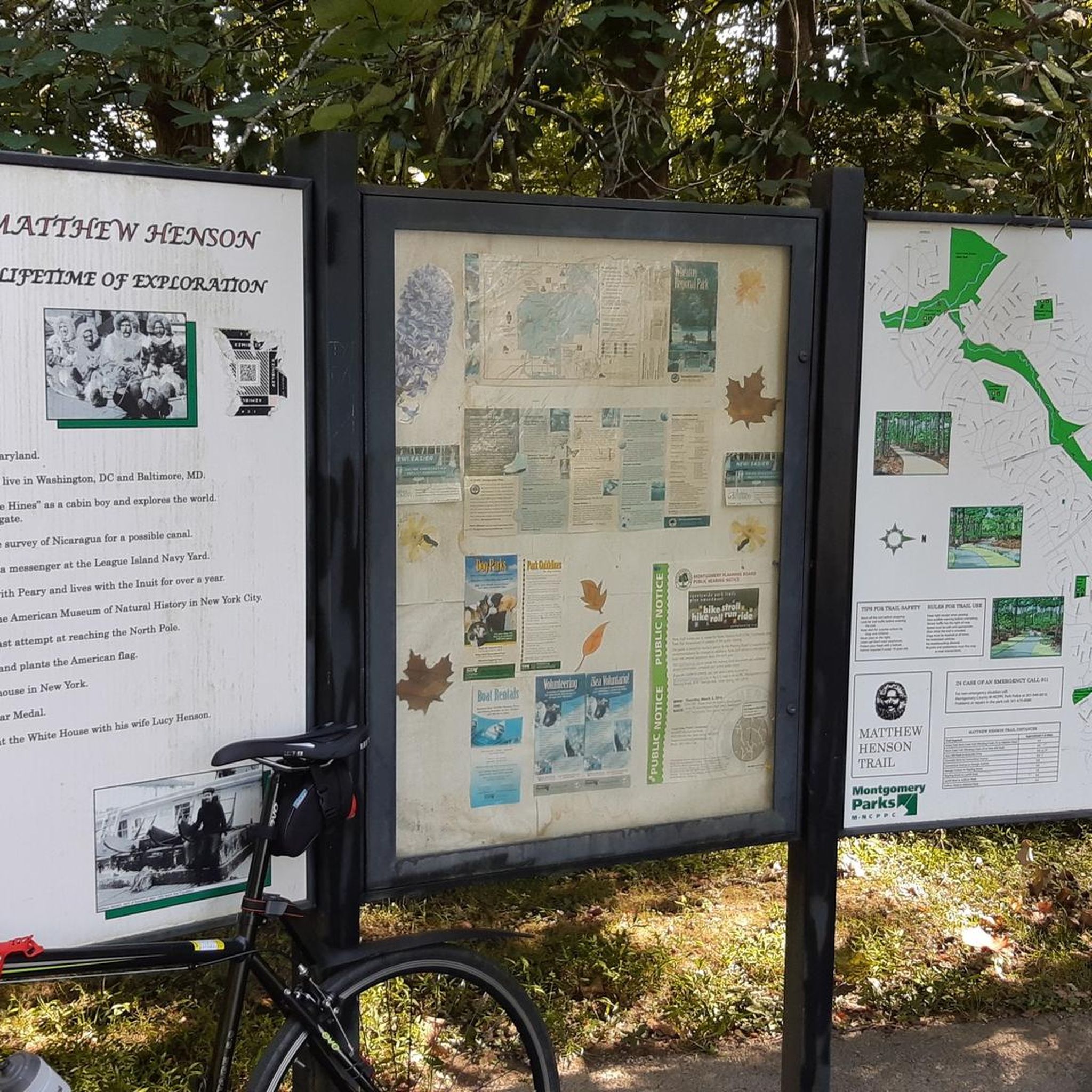
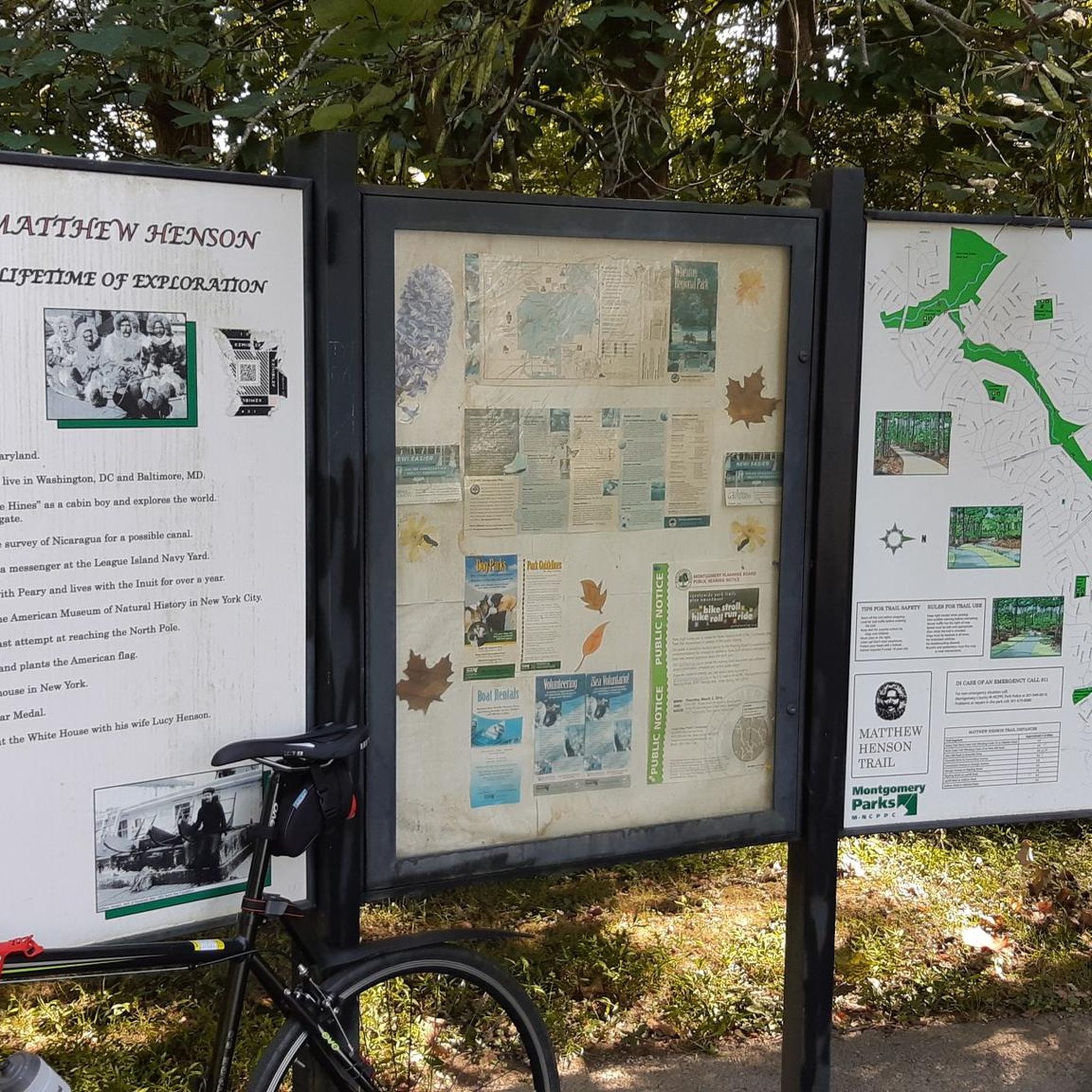
Gravel biking in Matthew Henson State Park features a narrow band of forested green space, following the Turkey Branch stream valley. The park's primary pathway is a hard-surface trail, often asphalt, which includes approximately 0.6 miles of wooden boardwalks and sections that can be rough from tree roots. Riders encounter gentle elevation changes and winding paths, with the trail connecting to the wider regional network, including the Rock Creek Hiker-Biker Trail.
Best gravel bike trails in Matthew Henson State Park
- The most popular gravel bike trail is Great Falls – Horseshoe Bend at Great Falls loop from North Bethesda, a 31.7 miles (51.0 km) trail that takes 3 hours 46 minutes to complete. This route leads through diverse natural settings and offers extensive riding.
- Another top favourite among local gravel bikers is Lake Needwood Southeast Shore – Rock Creek Trail loop from Twinbrook, a moderate 14.6 miles (23.5 km) path. This route provides a balanced ride with views along the stream valley.
- Local gravel bikers also love the Beach Drive in Rock Creek Park – Horseshoe Bend at Great Falls loop from North Bethesda, a 43.3 miles (69.7 km) trail leading through varied landscapes, often completed in about 4 hours 18 minutes.
- Gravel biking in Matthew Henson State Park is defined by forested green spaces, the Turkey Branch stream valley, and sections with wooden boardwalks. The network offers options for different ability levels, from moderate to difficult.
- The routes in Matthew Henson State Park are highly rated by the komoot community with an average score of 5.0 stars from a few reviews. More than dozens of gravel bikers have used komoot to explore Matthew Henson State Park's varied terrain.
Last updated: July 13, 2026
5
riders
51.8km
03:02
380m
380m
Moderate gravel ride. Good fitness required. Mostly paved surfaces. Suitable for all skill levels.
7
riders
25.1km
01:34
200m
200m
Moderate gravel ride. Good fitness required. Mostly paved surfaces. Suitable for all skill levels.

Sign up for free
2
riders
49.5km
02:57
350m
350m
The Widewater – Horseshoe Bend at Great Falls loop is a popular gravel biking route that offers a fantastic blend of historic charm and natural drama. You'll pedal along the C&O Canal Towpath, enjoying the tranquil stream valley and glimpses of old canal locks, before venturing into Great Falls Park for more challenging terrain. The highlight is undoubtedly the dramatic views of the Great Falls of the Potomac River, accessible after some effort, making this moderate 30.7 miles (49.5 km) ride with 1143 feet (348 metres) of elevation gain a rewarding experience that typically takes just under three hours.
Planning your visit for this North Bethesda to Widewater Horseshoe Bend gravel route means preparing for varied conditions. A gravel or hybrid bike with tires 32mm or wider is ideal, as sections of the C&O Canal Towpath can be rough or muddy, especially after rain. While the route is accessible year-round, consider visiting in spring for wildflowers or in winter for unique sunlight effects through the bare trees. Always check current trail conditions before you go to ensure a smooth ride.
This loop stands out for its unique combination of the relatively flat, historic C&O Canal Towpath and the more undulating, scenic trails within Great Falls Park. It provides direct cycling access to the iconic Great Falls of the Potomac, a significant natural landmark, and offers opportunities for wildlife spotting. The route's diverse terrain and scenery make it a top-rated gravel bike loop near North Bethesda, appealing to those who appreciate both natural beauty and a bit of a challenge.
1
riders
25.3km
01:39
190m
190m
Moderate gravel ride. Good fitness required. Mostly paved surfaces. Suitable for all skill levels.
4.0
(1)
14
riders
142km
08:15
530m
530m
Embark on a truly diverse gravel biking adventure with the U.S. Capitol – Horseshoe Bend at Great Falls loop from Rockville. This difficult 88.2-mile (141.9 km) route guides you along the serene, tree-lined C&O Canal Towpath, past historic locks, and into the dramatic landscape of Great Falls Park, where the Potomac River carves stunning gorges. You'll encounter varied surfaces, from crushed stone to dirt and roots, offering a true gravel experience.
Prepare for a substantial ride, as this loop involves 1734 feet (529 metres) of elevation gain and an estimated duration of 8 hours and 15 minutes. Accessing the trail from Rockville, you'll want to ensure your bike is equipped for diverse terrain, as sections can become muddy after rain. Be aware that Great Falls Park may have an entrance fee, so plan accordingly for this full-day excursion.
What makes this route truly stand out is its blend of historical significance and iconic natural beauty. The C&O Canal is a living historical artifact, while the awe-inspiring Great Falls offers a natural spectacle rarely found so close to a major metropolitan area. This diverse experience, ideal for gravel bikes, combines riverine landscapes, dense forests, and historical remnants, making it a unique journey for experienced riders.
Our route recommendations are based on thousands of hikes, rides, and runs completed by other people on komoot.
Start today with a free account
Your next adventure awaits.
Login or Signup

Tips from the Community

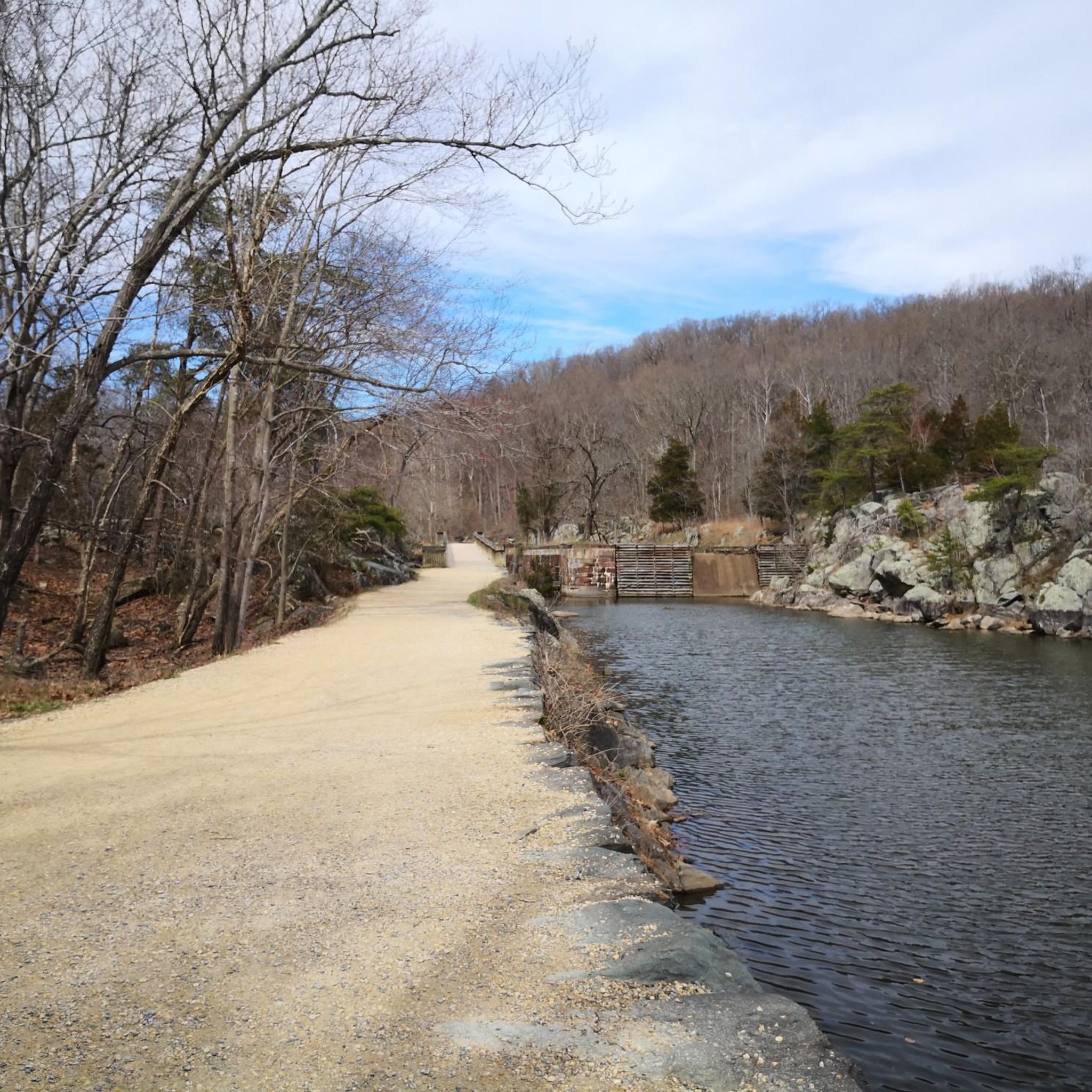
As you ride onto the wide canal bend, you’re met with serene water views—Widewater is a beautiful lake that serves as habitat for many bird and wildlife species. It’s an ideal spot to pause, do some birdwatching, and soak in the calm before continuing your journey along the Potomac and the Chesapeake & Ohio canal.
0
0

In the visitor center there is a (free) museum with the history of Washington. There are also 2 small souvenir shops that can be visited without a ticket. A free ticket is required for a tour of the Capitol. Please note that no food or liquids are allowed during the visit. To enter the visitor center you must go through the security check.
0
0

Lake Needwood provides a peaceful escape with its calm waters and surrounding trails nestled in the heart of Maryland. It’s a popular spot for kayaking, fishing, and picnics, offering a natural retreat close to the city.
0
0

Enjoy easy access to the Great Falls, a popular destination for photographers, hikers, and expert kayakers. Though not exceptionally tall, the falls surge with force as the Potomac River carves through ancient, metamorphic rock.
1
0
Lock 21, aka Swains Lock, is a lock house and campsite. It was built in the 1830s and transported items such as grain and coal between Georgetown and Cumberland. It was named after the Swain family and John Swain, who helped build the canal, and Jesse Swain, the lockkeeper. The family lived here until 2006.
1
0
Lock 22, aka Pennyfield Lock, was built between 1829 and 1831, and the name came from the misspelling of the Pennifield family name. It has been restored and offers overnight stays to recreate the rustic feeling from that period.
1
0

Located at mile 14.3 on the C&O Canal Towpath in Potomac, Maryland, Great Falls Park is a must-visit highlight for hikers, cyclists, and history buffs alike. A short boardwalk leads to the Olmsted Island overlook, where the Potomac River dramatically crashes over jagged rocks—one of the most scenic views near D.C. For hikers, the popular Billy Goat Trail offers three segments, with Section A featuring challenging rock scrambles and breathtaking river views. The historic Great Falls Tavern, built in 1829, now serves as a visitor center and launch point for seasonal mule-drawn canal boat rides. The towpath itself is flat and easy to navigate, ideal for walking or biking. Amenities include restrooms, picnic spots, and interpretive exhibits. Parking is available at the visitor center (fee required), or you can park for free at nearby Swains Lock and walk or ride 2.5 miles to the falls.
1
0

These are hard to come by along the C&O canal and usually hidden. Always nice to know where to get water.
2
0
Frequently Asked Questions
What is the general terrain like for gravel biking in Matthew Henson State Park?
The terrain in Matthew Henson State Park primarily features a hard-surface path, with some sections that can be rough due to tree roots, offering a varied gravel biking experience. You'll also encounter approximately 0.6 miles of wooden boardwalks that traverse sensitive areas, adding a unique element to the ride. The trails wind through forested green space and along the Turkey Branch stream valley, providing a blend of natural beauty and engaging riding.
Are there elevation changes on the gravel bike trails in Matthew Henson State Park?
Yes, the trails in Matthew Henson State Park feature gentle changes in elevation. This provides a dynamic and engaging ride without being overly strenuous, making it suitable for a range of fitness levels while still offering some challenge.
How many gravel bike trails are available in Matthew Henson State Park?
There are 7 gravel bike trails available in Matthew Henson State Park, offering a variety of options for different skill levels and preferences.
Are there any family-friendly gravel biking options in Matthew Henson State Park?
While the guide highlights routes with moderate to difficult ratings, the Matthew Henson Trail itself is an 8-foot-wide, hard-surface path with gentle elevation changes, making it generally accessible. For a moderate option that offers a balanced ride, consider the Lake Needwood Southeast Shore – Rock Creek Trail loop from Twinbrook, which is 14.6 miles long.
What kind of natural features or wildlife can I expect to see along the trails?
As you ride through Matthew Henson State Park, you'll be immersed in a narrow band of forested green space, providing ample shade. The trails often follow the Turkey Branch stream valley, offering views of the stream, ponds, and swamps. This natural setting along the stream valley provides habitats for various wildlife, so you might spot local fauna and enjoy birdwatching opportunities.
Is the Matthew Henson Trail suitable for gravel biking?
Yes, the Matthew Henson Trail is explicitly suitable for gravel bikes. While primarily paved, some sections are described as 'rough in places from tree roots,' which can simulate aspects of a gravel biking experience. The trail also includes wooden boardwalks, adding to its unique character for riders.
Are there any loop routes for gravel biking in the area?
Yes, several loop routes are available. For a longer, more challenging loop, consider the Lake Needwood Southeast Shore – Rock Creek Trail loop from Glenmont, which is 30.5 miles. Another popular loop is the Great Falls – Horseshoe Bend at Great Falls loop from North Bethesda, covering 31.7 miles through diverse natural settings.
What are the parking options for accessing the gravel bike trails?
Matthew Henson State Park is designed for accessibility within a suburban setting. While specific parking lots aren't detailed in the guide, the park's nature as a publicly owned greenway typically implies designated access points and parking areas. It's advisable to check local park maps for the most convenient parking locations near trailheads.
What is the best time of year to go gravel biking in Matthew Henson State Park?
The forested green space provides ample shade, making it pleasant during warmer months. However, the presence of tree roots and natural stream valleys suggests that spring and fall offer ideal conditions with milder temperatures and vibrant foliage. Winter riding might be possible, but conditions could vary, especially on rougher sections or boardwalks.
How do the gravel biking trails in Matthew Henson State Park connect to other trail networks?
The Matthew Henson Trail connects to the larger Rock Creek Hiker-Biker Trail. This connectivity significantly extends possibilities for longer rides and exploration within a broader trail network, making it an excellent starting point or segment for extended gravel biking adventures.
What do other gravel bikers enjoy most about gravel biking in Matthew Henson State Park?
The area is highly rated by the komoot community, with an average score of 5.0 stars. Reviewers often praise the blend of natural beauty within a suburban setting, the varied terrain including boardwalks and root-affected sections, and the peaceful, wooded environment along Turkey Branch.
Are there any routes for more advanced gravel bikers?
Yes, for advanced riders seeking a longer and more challenging experience, the Beach Drive in Rock Creek Park – Horseshoe Bend at Great Falls loop from Rockville is a difficult route spanning 85.4 miles with significant elevation changes. Another difficult option is the Lake Needwood Southeast Shore – Rock Creek Trail loop from Glenmont, which is 30.5 miles and offers extensive riding.
Are there any cafes or amenities near the gravel trails in Matthew Henson State Park?
Matthew Henson State Park is situated within a suburban area, meaning there are likely cafes, restaurants, and other amenities in nearby towns and communities. While not directly on the trail, these services would be accessible within a short distance from park access points.
Most popular routes in Matthew Henson State Park

Get inspired with the komoot mobile app


Explore more
Browse the best Gravel rides in other regions.
