The best gravel rides in Riserva Naturale Valli Di Sant'Antonio
4.6
(25)
247
riders
16
rides
Gravel biking in Riserva Naturale Valli Di Sant'Antonio offers diverse terrain through two main valleys, Val Brandet and Valle di Campovecchio. The landscape features a mix of dirt roads and accessible paths, transitioning from enchanted woods and green meadows to more rugged mountain peaks. Riders encounter torrents, small waterfalls, and emerald pools in the lower sections, with ascents leading towards alpine meadows and glacial lakes at higher elevations. The routes combine asphalt and gravel surfaces, providing varied riding experiences across…
Last updated: July 18, 2026
5.0
(1)
8
riders
32.1km
02:44
1,060m
1,060m
Hard gravel ride. Very good fitness required. Mostly paved surfaces. Suitable for all skill levels.
6
riders
Hard gravel ride. Very good fitness required. Mostly paved surfaces. Suitable for all skill levels.

Sign up for free
4.5
(2)
39
riders
66.7km
04:38
1,200m
1,200m
Hard gravel ride. Very good fitness required. You may need to push your bike for some segments of this route.
4.3
(8)
41
riders
87.0km
05:45
1,140m
1,140m
Hard gravel ride. Very good fitness required. Mostly paved surfaces. Suitable for all skill levels.
4.2
(5)
28
riders
54.9km
03:53
930m
930m
Hard gravel ride. Very good fitness required. Mostly paved surfaces. Suitable for all skill levels.
Get access to more routes and recommendations from other explorers.
Sign up for free
Already have an account?
Our route recommendations are based on thousands of hikes, rides, and runs completed by other people on komoot.
Start today with a free account
Your next adventure awaits.
Login or Signup
Popular around Riserva Naturale Valli Di Sant'Antonio

Peaks, rock carvings and mountain huts – hike Italy’s Val Camonica
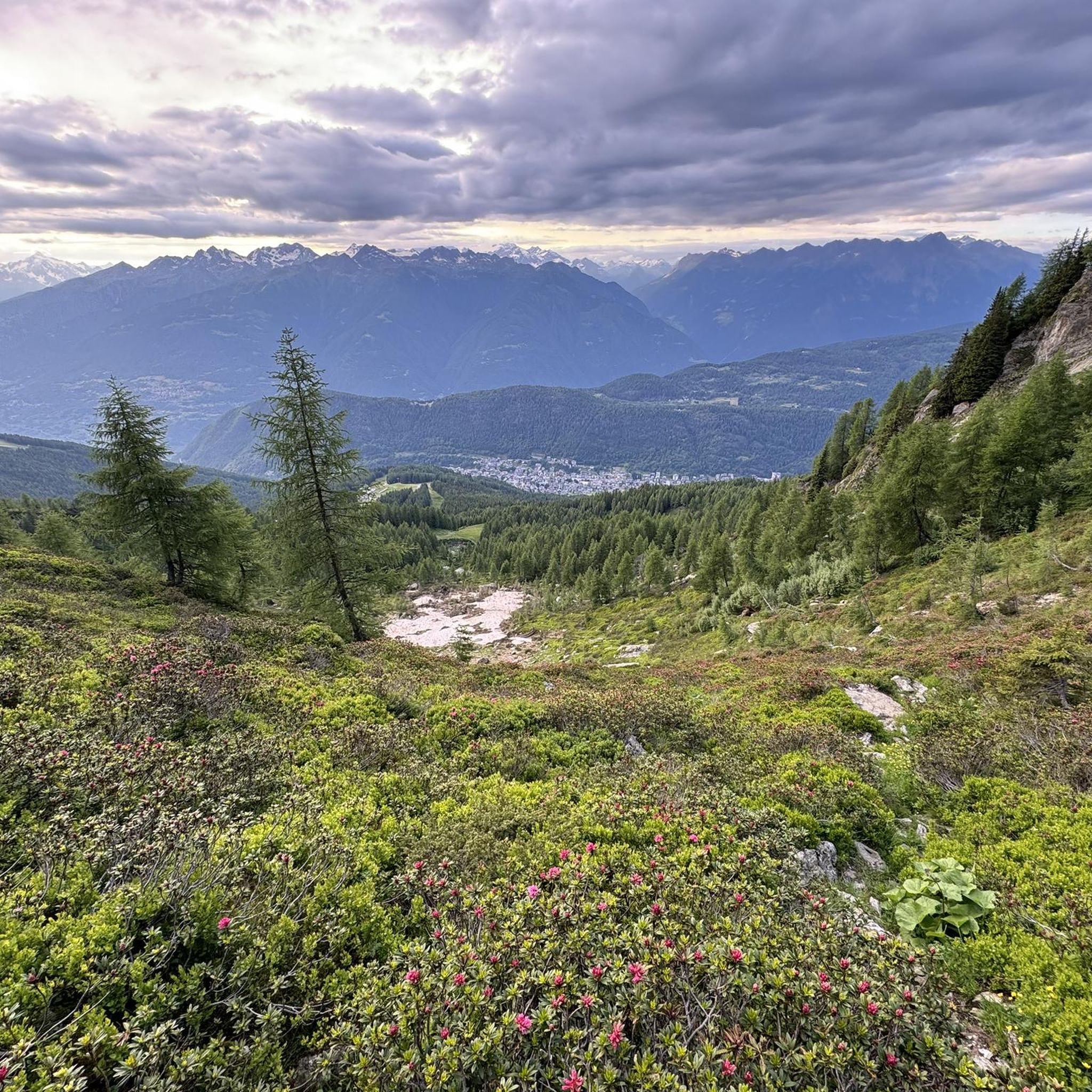
Hiking in Riserva Naturale Valli Di Sant'Antonio
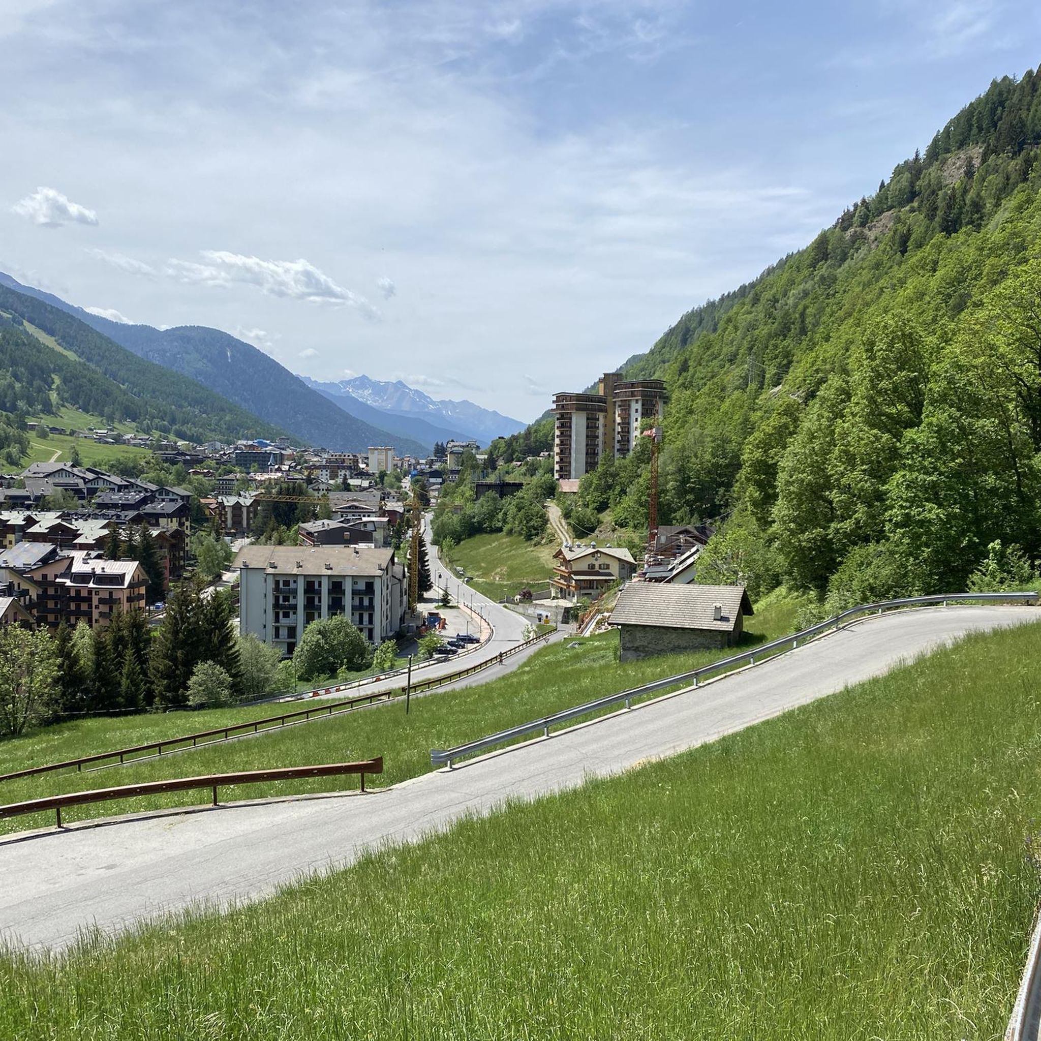
Road Cycling Routes in Riserva Naturale Valli Di Sant'Antonio
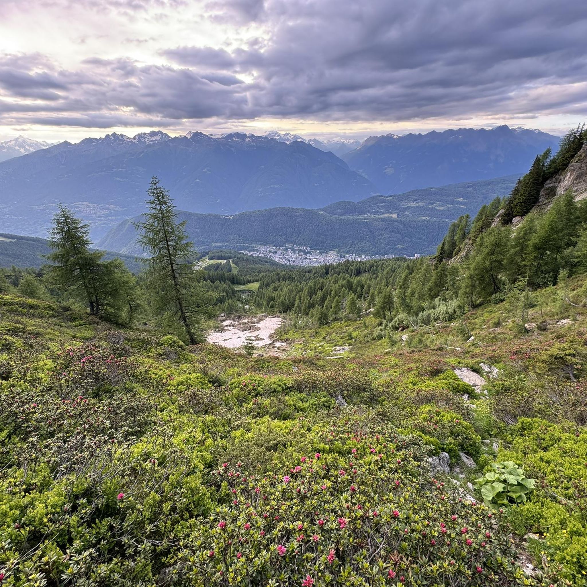
MTB Trails in Riserva Naturale Valli Di Sant'Antonio
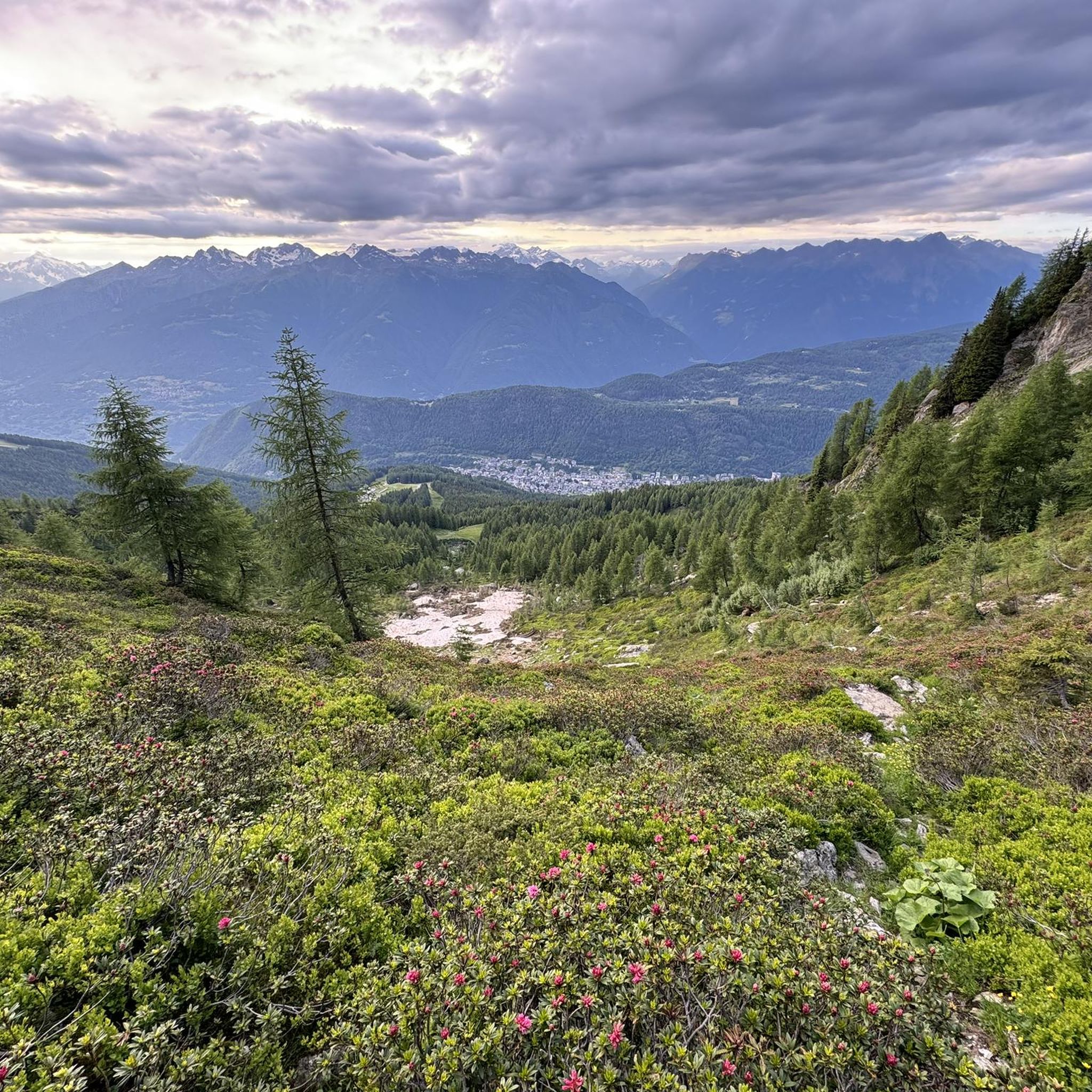
Cycling in Riserva Naturale Valli Di Sant'Antonio
Running Trails in Riserva Naturale Valli Di Sant'Antonio
Other adventures in Riserva Naturale Valli Di Sant'Antonio

Tips from the Community

By train to Edolo and then by bike up to Ponte di legno. The next day, departure in four stages to Mantua. Beautiful cycle path. Recommended
0
0

Nice, historic, relaxing...a beautiful ride along the Oglio cycle path.
0
0

Stone bridge with nice views around. The river was brown due to heavy rain some hours earlier.
1
0

To reach Montecchio di Darfo, starting from Boario, you cross the so-called "Roman bridge." It is a scenic 24-meter, single-span bridge, built from blocks of granite and Simona stone in 1686, over the remains of an older bridge that connected the medieval castle on Monticolo to the opposite bank of the river. It has been recognized as a national monument.
0
0

But are you sure it's the Mortirolo Pass? The real Mortirolo Pass is above the Foppa Pass, then it was swapped with the latter on the main road that goes up from Monno.
0
0

Pedal peacefully in the middle of nature... road with little traffic
0
0

Shadow on the Valtellina trail
1
0

Rest area with several tables, a place to light a fire and right next to the Pian di Gembro car parks. The tables are all in the sun and there is no fountain, so be prepared (although for those who are thirsty there are places on the road or in the flat area on the path a short distance away).
0
0
Frequently Asked Questions
How many gravel bike trails are available in Riserva Naturale Valli Di Sant'Antonio?
There are 16 gravel bike trails documented in Riserva Naturale Valli Di Sant'Antonio on komoot. These routes offer a diverse range of experiences, from valley floors to alpine ascents.
What kind of terrain can I expect on the gravel bike trails?
The trails in Riserva Naturale Valli Di Sant'Antonio feature a varied mix of terrain. You'll encounter dirt roads, accessible paths, and sections with both asphalt and gravel surfaces. The landscape transitions from enchanted woods and green meadows in the lower sections to more rugged mountain areas at higher elevations, often following torrents and leading to alpine lakes.
Are there any easy gravel biking routes for beginners or families?
While most of the documented routes are rated as difficult, there are 2 moderate routes available. The region's trails are generally suitable for gravel bikes due to their mixed terrain and medium-low difficulty in many sections, making them accessible for those with some experience. For a family-friendly experience, consider routes that stick to the valley floors, which tend to be less strenuous.
What natural attractions can I see while gravel biking in the reserve?
Riserva Naturale Valli Di Sant'Antonio is rich in natural beauty. You can expect to see torrents, small waterfalls, and crystal-clear emerald pools, especially in Val Brandet and Valle di Campovecchio. Higher up, you'll find stunning glacial lakes like Lago di Picol and Laghi di Culvegla, surrounded by alpine meadows and imposing mountain peaks such as Monte Culvegla and Monte Sellero.
Are there any circular gravel bike routes in the area?
Yes, many of the gravel bike routes in Riserva Naturale Valli Di Sant'Antonio are designed as loops. For example, the challenging View over Aprica 🚵 – Chiesa di Trivigno loop from Aprica is a popular circular option, as is the Passo di Verva – Fraele Towers loop from Tirano RhB, which offers a much longer, demanding ride.
What do other gravel bikers say about the trails in Riserva Naturale Valli Di Sant'Antonio?
The komoot community highly rates the gravel biking experience in Riserva Naturale Valli Di Sant'Antonio, with an average score of 4.6 out of 5 stars from over 10 reviews. Many of the 170+ visitors praise the diverse terrain, scenic views, and the engaging challenges offered by the routes.
Are there any specific points of interest or villages to explore along the routes?
Yes, the charming village of Sant'Antonio itself is a notable feature, with its well-preserved stone and wooden houses and a characteristic church. You'll also find traditional wooden bridges along trails, particularly in Val Campovecchio. The reserve also has a visitor center and an Alpine Hydrobiology Station for those interested in learning more about the local ecosystem.
What is the longest gravel biking route available?
The longest gravel biking route documented is the Passo di Verva – Fraele Towers loop from Tirano RhB, which spans approximately 107.9 kilometers (67 miles) and involves significant elevation gain, making it a challenging full-day adventure.
Are there any facilities like refuges or rest areas along the trails?
Yes, the reserve is equipped with numerous refuges and designated rest areas. These facilities are conveniently located to support longer excursions, providing places to pause, refuel, and enjoy the surroundings.
What are some of the more challenging gravel bike routes in the reserve?
Many routes in the reserve are rated as difficult. For instance, the View over Aprica 🚵 – Hotel Ristorante Le Betulle loop from San Pietro is a challenging 26.2 km route with significant elevation. Another demanding option is the Sentiero Valtellina – Church of Baruffini loop from Baruffini, covering over 43 km with substantial climbing.
Is it possible to find routes that follow rivers or torrents?
Absolutely. Many paths, especially in Val Campovecchio, closely follow the eponymous torrent. These riverside trails offer a soothing backdrop of gurgling water and provide a unique sensory experience throughout much of the journey.
Most popular routes in Riserva Naturale Valli Di Sant'Antonio

Get inspired with the komoot mobile app


Explore more
Browse the best Gravel rides in other regions.
