The best cycling routes in Riserva Naturale Valli Di Sant'Antonio
4.4
(394)
8,701
riders
105
rides
Touring cycling in Riserva Naturale Valli Di Sant'Antonio offers routes through the eastern Orobic Alps, characterized by diverse natural landscapes. The terrain includes varied forest ecosystems, such as riparian, spruce, and larch woods, transitioning to rhododendron and blueberry shrubs at higher elevations. Routes often combine paved sections with dirt roads, particularly when heading towards areas like Val Brandet and Valle di Campovecchio. The region features numerous water elements, including torrents, waterfalls, and alpine lakes, set within an alpine environment that…
Last updated: August 29, 2026
4.3
(3)
54
riders
48.0km
03:56
1,510m
1,510m
Hard bike ride. Very good fitness required. Mostly paved surfaces. Suitable for all skill levels.
4.0
(2)
24
riders
29.6km
02:53
920m
920m
Hard bike ride. Very good fitness required. Mostly paved surfaces. Suitable for all skill levels.

Sign up for free
3.0
(1)
31
riders
31.6km
02:16
630m
630m
Hard bike ride. Very good fitness required. Mostly paved surfaces. Suitable for all skill levels.
29
riders
Hard bike ride. Very good fitness required. You may need to push your bike for some segments of this route.
3.0
(2)
27
riders
Hard bike ride. Very good fitness required. Mostly paved surfaces. Suitable for all skill levels.
Get access to more routes and recommendations from other explorers.
Sign up for free
Already have an account?
Our route recommendations are based on thousands of hikes, rides, and runs completed by other people on komoot.
Start today with a free account
Your next adventure awaits.
Login or Signup
Popular around Riserva Naturale Valli Di Sant'Antonio

Peaks, rock carvings and mountain huts – hike Italy’s Val Camonica
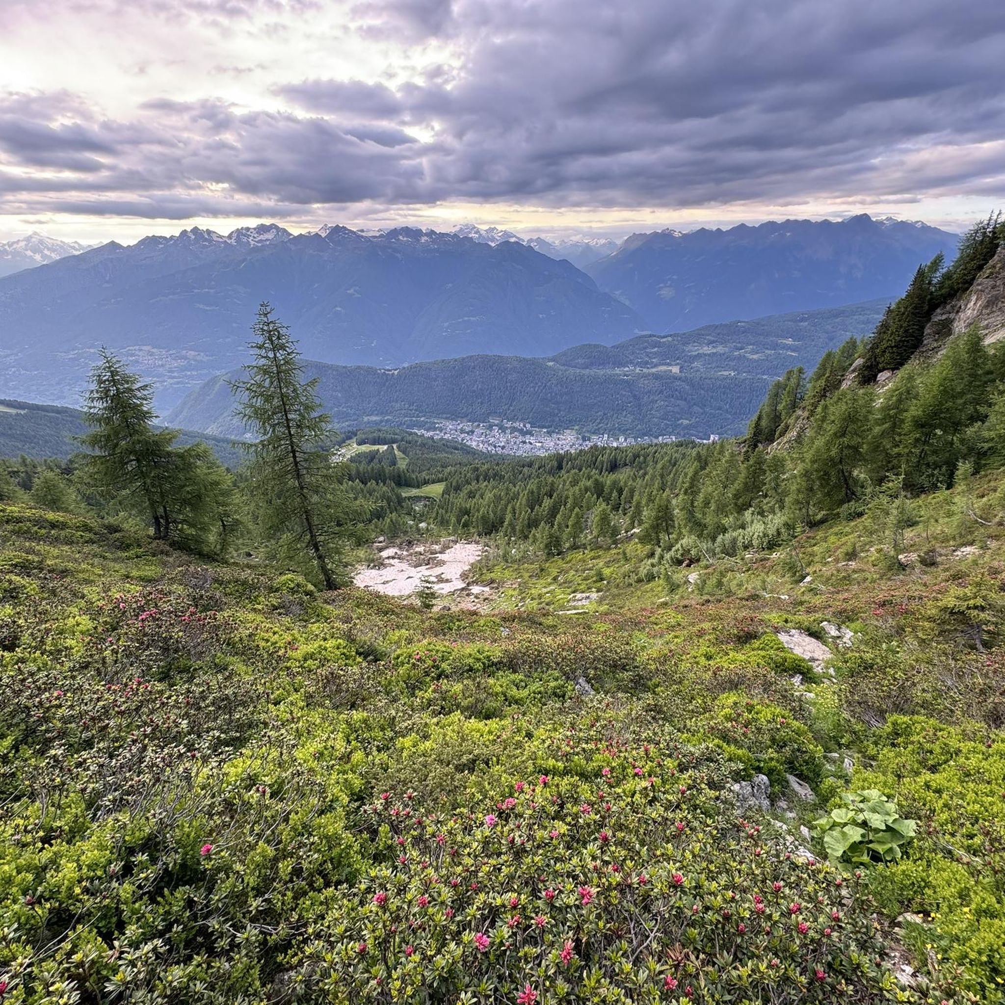
Hiking in Riserva Naturale Valli Di Sant'Antonio
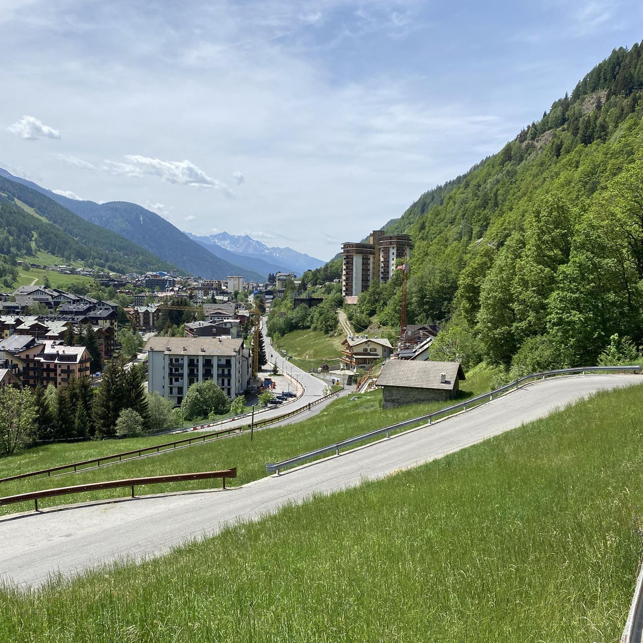
Running Trails in Riserva Naturale Valli Di Sant'Antonio
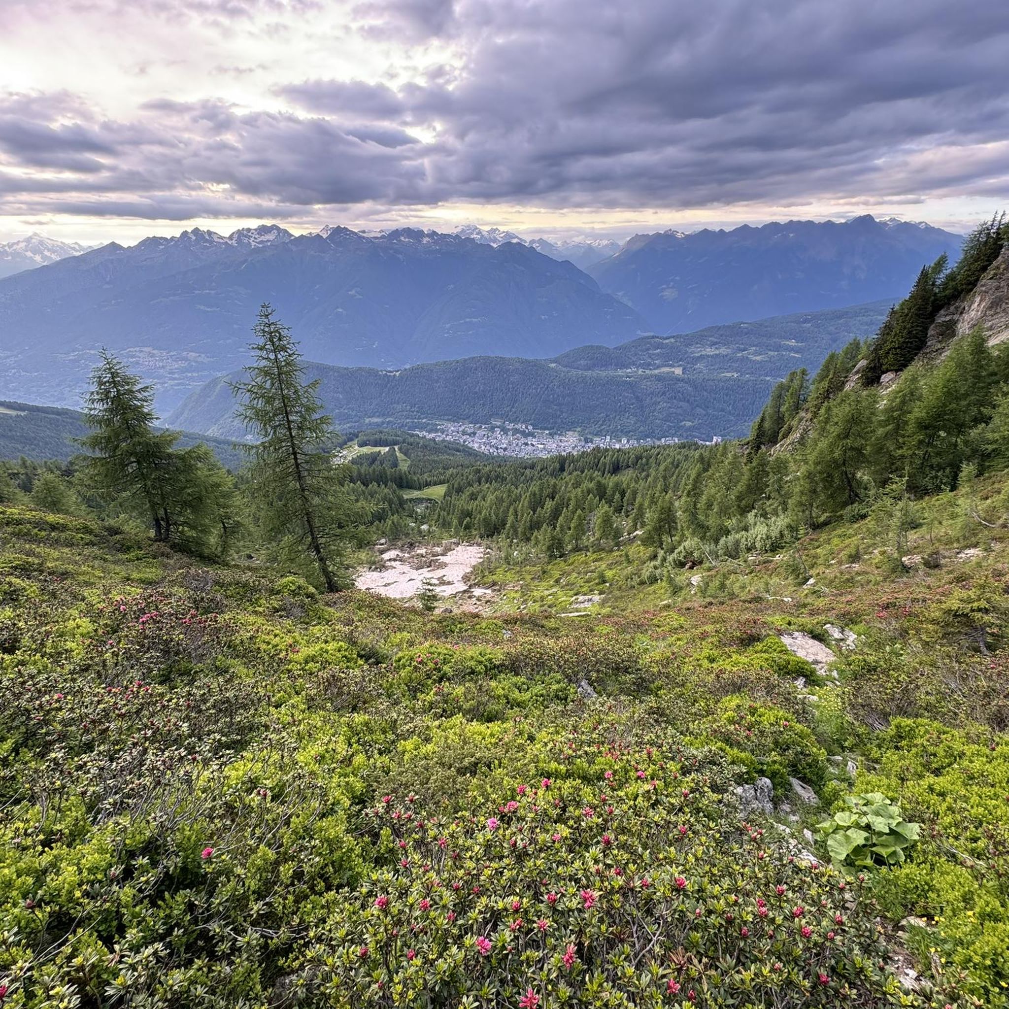
MTB Trails in Riserva Naturale Valli Di Sant'Antonio
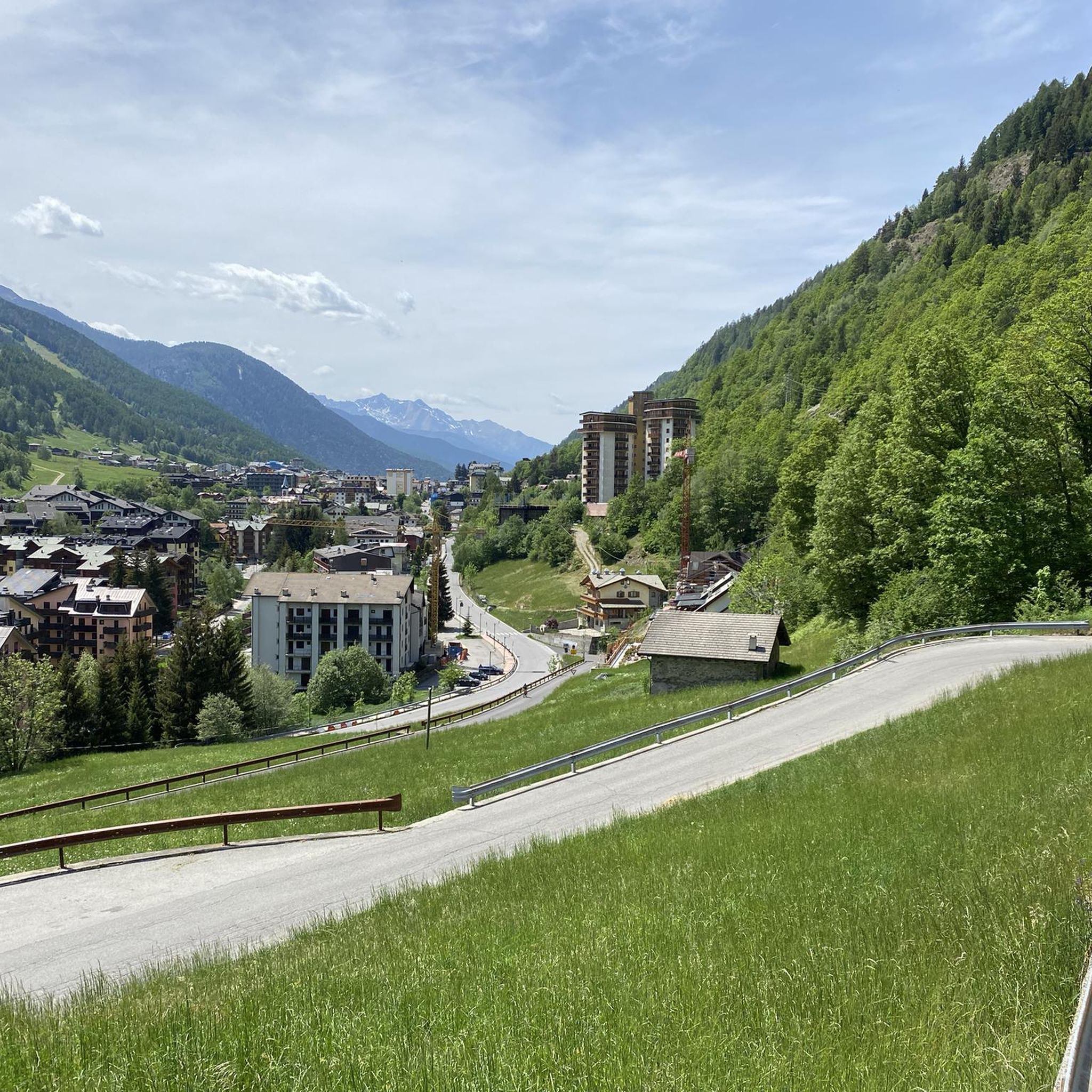
Road Cycling Routes in Riserva Naturale Valli Di Sant'Antonio
Gravel biking in Riserva Naturale Valli Di Sant'Antonio
Other adventures in Riserva Naturale Valli Di Sant'Antonio

Tips from the Community

The Mortirolo is a legendary climb of the Giro d'Italia. The most famous is the climb from Mazzo di Valtellina – twisty, steep, and long, with an average gradient of around 10–11%, reaching 18–19% in some sections. Many cyclists consider it one of the most challenging climbs in the Alps, alongside the Stelvio and Gavia. The Mortirolo Pass is where such luminaries as Marco Pantani have won or lost stages of the Giro.
1
0
The pass is located at an altitude of 1,852 meters above sea level. It connects the Valtellina Valley (Bormio) with the Camonica Valley (Monno). The pass lies in the heart of the Retiche Mountains, in an area full of mountain lakes and steep Alpine landscapes.
1
0
Passo del Mortirolo (also known as Passo della Foppa) is one of the most demanding Alpine passes in Italy, especially famous in the world of cycling.
1
0

Enchanting lake on the road between Trivigno and Mortirolo
0
0

A small mountain lake with many fish. It can be a good starting point for hikes in the area because it's right on the paved road.
0
0

Breathtaking view, even when frozen
0
0
I cannot comment on the interior of this little church as it is closed, but I can certainly say that in its surroundings you can enjoy an exceptional view of Mount Disgrazia and the valley below (a view that is enjoyable, however, from various other points along the route)
0
0

historic bridge of Edolo, from which you take the cycle/pedestrian path to Ponte di Legno/Tonale
0
0
Frequently Asked Questions
What kind of terrain can I expect on touring cycling routes in Riserva Naturale Valli Di Sant'Antonio?
The region offers a mix of terrain. You'll find initial asphalted sections leading towards villages like Sant'Antonio, which then often transition to dirt roads, especially when heading into areas such as Val Brandet and Valle di Campovecchio. The alpine environment means routes can include challenging slopes, so a robust touring bike or gravel bike is often recommended for the varied surfaces.
Are there easy touring cycling routes suitable for beginners in Riserva Naturale Valli Di Sant'Antonio?
Yes, while many routes are challenging, there are options for less experienced cyclists. Out of the 96 touring cycling routes available, 10 are classified as easy. These routes typically feature less demanding gradients, allowing beginners to enjoy the natural beauty of the reserve.
What natural attractions and viewpoints can I see along the touring cycling routes?
Touring cyclists can enjoy diverse natural landscapes, including riparian, spruce, and larch woods, which transition to rhododendron and blueberry shrubs at higher elevations. The region is rich in water features, with torrents, cascading waterfalls, and emerald pools. Alpine lakes like Lago di Picol and Lago del Torsolazzo offer serene spots and beautiful viewpoints.
Are there any circular touring cycling routes in the area?
Yes, many touring cycling routes in Riserva Naturale Valli Di Sant'Antonio are designed as loops. For example, the Aprica Archway – Aprica Pass loop from Corteno Golgi is a moderate 16.3 km route that allows you to start and finish in the same location, offering a convenient way to explore the area.
What is the best time of year for touring cycling in Riserva Naturale Valli Di Sant'Antonio?
The best time for touring cycling is typically from late spring to early autumn (May to October). During these months, the weather is generally milder, and the higher alpine sections are more accessible, offering vibrant seasonal colors and clear paths. Winter cycling can be challenging due to snow and ice, especially at higher elevations.
Can I bring my dog on the touring cycling routes?
While specific regulations for dogs on cycling routes can vary, generally, dogs are welcome in Riserva Naturale Valli Di Sant'Antonio, especially on trails where they can be kept on a leash. It's always advisable to check local signage or park regulations for any specific restrictions on certain paths or protected areas within the reserve.
Are there places to eat or rest along the touring cycling routes?
Yes, the region offers amenities for cyclists. The charming village of Sant'Antonio serves as an access point, and along various routes, you can find mountain restaurants and picnic areas. These provide convenient stops for refreshments and rest amidst your journey through the reserve.
What do other touring cyclists enjoy most about cycling in Riserva Naturale Valli Di Sant'Antonio?
The area is highly rated by the komoot community, with an average score of 4.6 stars from over 230 reviews. Reviewers often praise the diverse natural landscapes, the blend of paved and unpaved roads offering varied riding experiences, and the challenging yet rewarding alpine scenery.
How long do touring cycling routes typically take in Riserva Naturale Valli Di Sant'Antonio?
Route durations vary significantly based on distance, elevation gain, and difficulty. For example, a difficult route like the View of Edolo – Edolo loop from Corteno Golgi, which is 38.7 km, typically takes around 3 hours 30 minutes. Shorter, easier routes will naturally take less time.
Is it possible to reach the cycling routes using public transport?
While the region is primarily accessed by car, some villages like Sant'Antonio may have limited public transport connections. For specific route starting points, it's recommended to check local bus schedules or regional train services that connect to nearby towns, and then plan your cycling route from there.
Are there any routes suitable for families with children?
For families, it's best to look for the easier routes, which are typically less steep and on more stable surfaces. While the region is known for its alpine environment, some sections of the dirt roads, such as parts of the ascent towards Val Brandet, have non-demanding gradients that might be suitable for families with appropriate touring or gravel bikes.
Where can I park my car to access the touring cycling routes?
Parking is generally available in and around the main access points to the reserve, such as the village of Sant'Antonio or Corteno Golgi. Look for designated parking areas in these villages, which serve as common starting points for many of the touring cycling routes.
Most popular routes in Riserva Naturale Valli Di Sant'Antonio

Get inspired with the komoot mobile app


Explore more
Browse the best Cycling routes in other regions.
