Naturschutzgebiet Uelzener Heide / Mühlhauser Mark
Naturschutzgebiet Uelzener Heide / Mühlhauser Mark
The best gravel rides in Naturschutzgebiet Uelzener Heide / Mühlhauser Mark
4.6
(163)
605
riders
40
rides
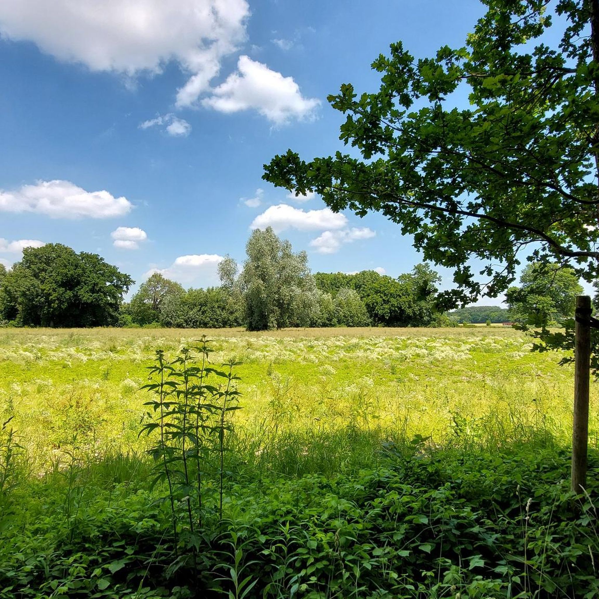
Gravel biking in Naturschutzgebiet Uelzener Heide / Mühlhauser Mark offers a network of routes through varied landscapes. The region is characterized by its nature reserves, heathland, and river valleys, providing a mix of surfaces suitable for gravel bikes. Riders can expect paths through wooded areas, open fields, and along waterways, with generally gentle gradients. This area provides opportunities for exploring natural environments on two wheels.
Best gravel bike trails in Naturschutzgebiet Uelzener Heide / Mühlhauser Mark
- The most popular gravel bike trail is Beversee Nature Reserve – Kamener-Straße-Bridge loop from Kreis Unna, a 21.9 miles (35.3 km) trail that takes 1 hour 50 minutes to complete, offering views of the nature reserve.
- Another top favourite among local gravel bikers is "Now" sculpture on the Seseke – Seseke River Trail loop from Unna, a moderate 27.2 miles (43.8 km) path. This route follows the Seseke River, passing by points of interest.
- Local gravel bikers also love the Seseke Cycle Path – Klöcknerbahnweg loop from Holzplatz, a 16.3 miles (26.2 km) trail leading through river valleys and former railway lines, often completed in about 1 hour 15 minutes.
- Gravel biking in Naturschutzgebiet Uelzener Heide / Mühlhauser Mark is defined by heathland, river valleys, and wooded paths. The network offers options for easy, moderate, and challenging routes, catering to different ability levels.
- The routes in Naturschutzgebiet Uelzener Heide / Mühlhauser Mark are highly rated by the komoot community with an average score of 4.5 stars from over 100 reviews. More than 600 gravel bikers have used komoot to explore Naturschutzgebiet Uelzener Heide / Mühlhauser Mark's varied terrain.
Last updated: July 17, 2026
4.5
(39)
137
riders
35.2km
01:47
100m
100m
Easy gravel ride. Great for any fitness level. Mostly paved surfaces. Suitable for all skill levels.
4.9
(14)
17
riders
43.8km
02:12
120m
120m
Moderate gravel ride. Good fitness required. Mostly paved surfaces. Suitable for all skill levels.

Sign up for free
4.6
(5)
10
riders
26.2km
01:15
50m
50m
Easy gravel ride. Great for any fitness level. Mostly paved surfaces. Suitable for all skill levels.
5.0
(1)
7
riders
Easy gravel ride. Great for any fitness level. Mostly paved surfaces. Suitable for all skill levels.
4.6
(5)
11
riders
32.9km
01:44
160m
160m
Moderate gravel ride. Good fitness required. Mostly paved surfaces. Suitable for all skill levels.
Get access to more routes and recommendations from other explorers.
Sign up for free
Already have an account?
Our route recommendations are based on thousands of hikes, rides, and runs completed by other people on komoot.
Start today with a free account
Your next adventure awaits.
Login or Signup
Popular around Naturschutzgebiet Uelzener Heide / Mühlhauser Mark
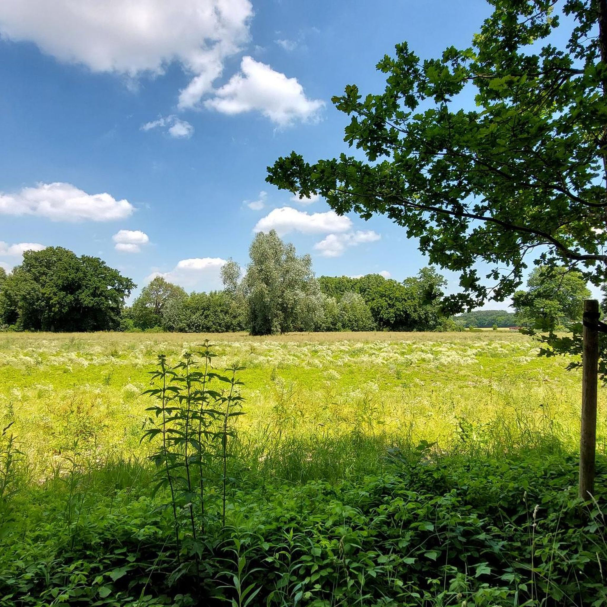
Road Cycling Routes in Naturschutzgebiet Uelzener Heide / Mühlhauser Mark
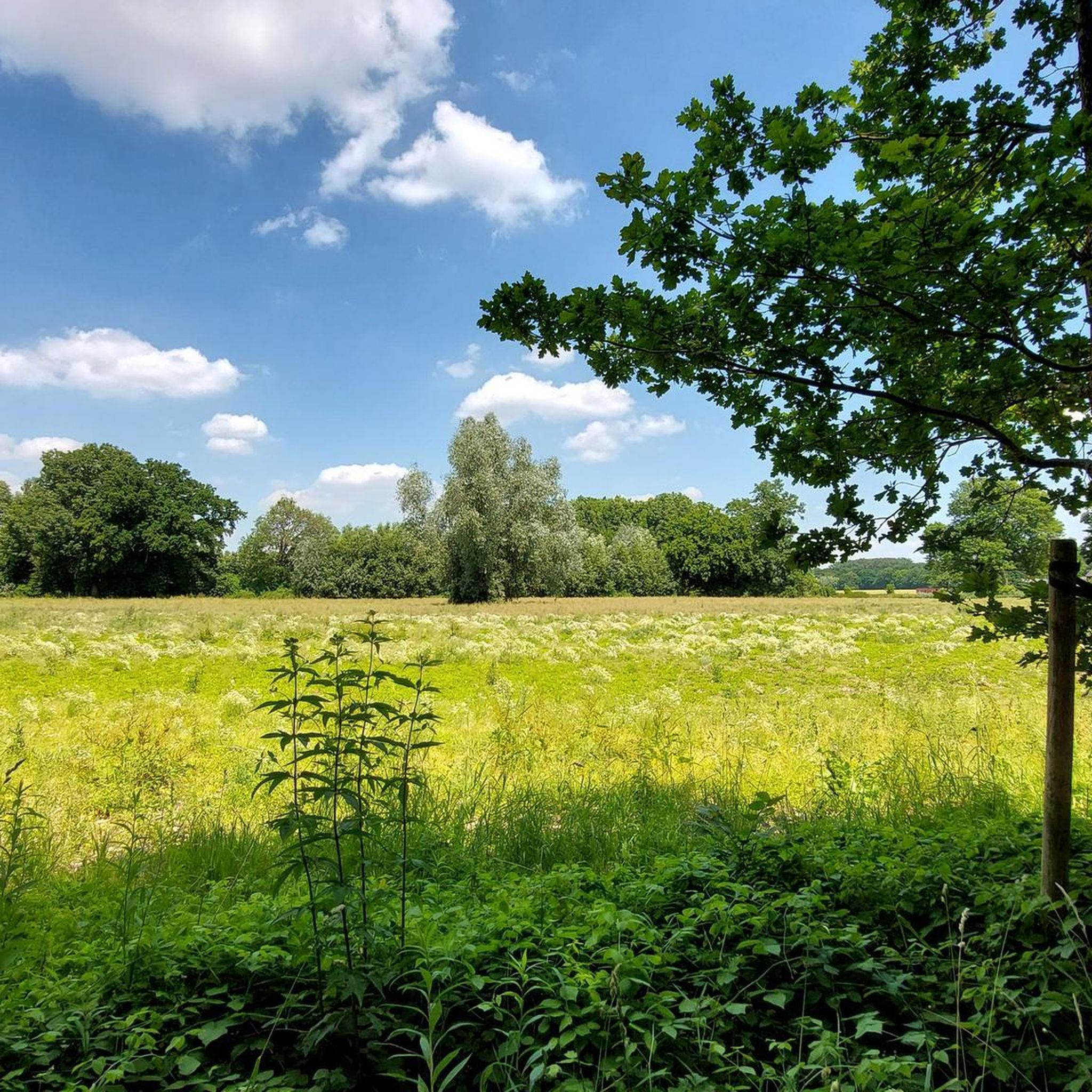
MTB Trails in Naturschutzgebiet Uelzener Heide / Mühlhauser Mark
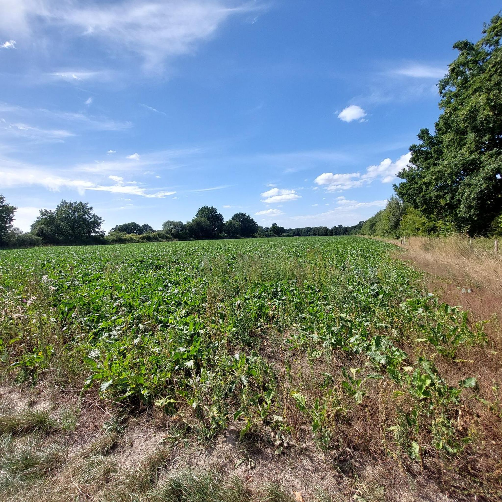
Running Trails in Naturschutzgebiet Uelzener Heide / Mühlhauser Mark
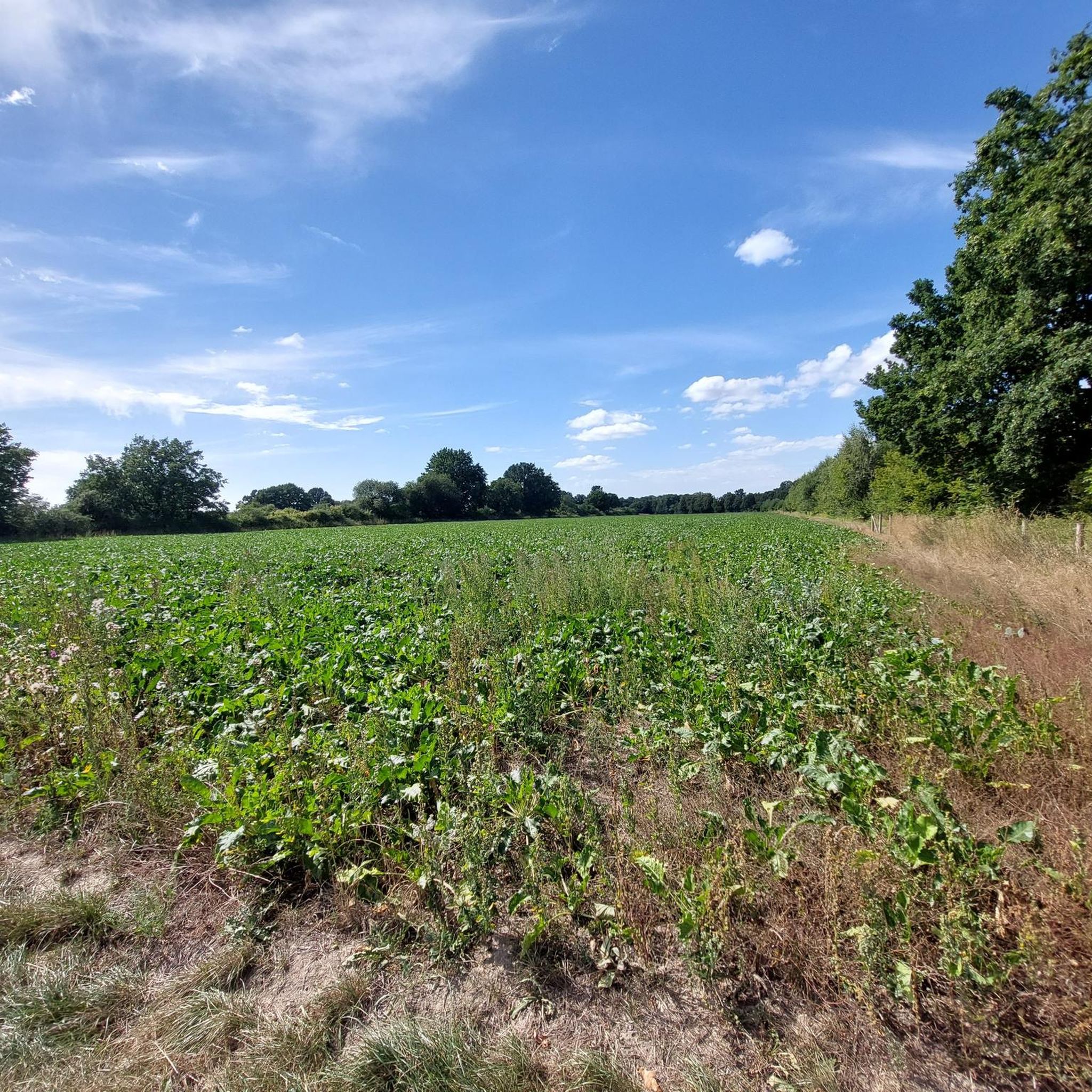
Cycling in Naturschutzgebiet Uelzener Heide / Mühlhauser Mark
Hiking in Naturschutzgebiet Uelzener Heide / Mühlhauser Mark
Tips from the Community

The Kamenerstraßen bridge is on the Datteln-Hamm Canal at kilometer 16.5.
0
0

light fine gravel. Sometimes a bit busy.
0
0
Fine gravel path, good to ride. No cars and some nature around you.
0
0

Great view of the grounds
0
0

One of many highlights of this name along this federal waterway.
2
0


Coffee break and stork's nest visited at farmer Louven
0
0
Frequently Asked Questions
How many gravel bike routes are available in Naturschutzgebiet Uelzener Heide / Mühlhauser Mark?
There are over 75 gravel bike routes in Naturschutzgebiet Uelzener Heide / Mühlhauser Mark, offering a wide range of options for different skill levels. Approximately 30 of these are rated as easy, 40 as moderate, and 6 as difficult.
Are there family-friendly gravel bike trails in the Uelzener Heide / Mühlhauser Mark region?
Yes, the region offers several family-friendly gravel bike trails, particularly among the easy-rated routes. These often feature gentle gradients and paths through wooded areas and open fields, suitable for a relaxed ride with children. An example is the Seseke Cycle Path – Klöcknerbahnweg loop from Holzplatz, which is 16.3 miles (26.2 km) long and relatively flat.
What kind of terrain can I expect on gravel bike trails in Naturschutzgebiet Uelzener Heide / Mühlhauser Mark?
The terrain is diverse, characterized by heathland, river valleys, and wooded paths. You'll encounter a mix of surfaces including gravel, compacted earth, and some paved sections, all suitable for gravel bikes. The routes generally feature gentle gradients, making for enjoyable riding through natural environments.
What are some scenic viewpoints or attractions along the gravel bike trails?
Many routes offer scenic views of the nature reserve and river valleys. You can also explore interesting natural monuments and historical sites. For instance, the "Now" sculpture on the Seseke – Seseke River Trail loop from Unna passes by various points of interest along the Seseke River. You might also encounter highlights like the Champion Tree (Platanus x hispanica) in Uelzener Heide or the remains of Schloss Haus Heyde.
Are there any challenging gravel bike routes for experienced riders?
While many routes are easy to moderate, there are approximately 6 routes rated as difficult for those seeking more of a challenge. These routes might feature longer distances, slightly more elevation gain, or more technical sections. For a moderate challenge, consider the Forest trail in Beversee Nature Reserve – Beversee loop from Unna, which includes a good amount of elevation gain within the nature reserve.
What is the best season for gravel biking in Naturschutzgebiet Uelzener Heide / Mühlhauser Mark?
The region is enjoyable for gravel biking throughout much of the year. Spring and autumn offer pleasant temperatures and beautiful scenery with blooming heathland or colorful foliage. Summer is also great, especially through shaded wooded areas. Even in winter, many trails remain rideable, though conditions may vary with snow or ice, particularly in more exposed areas.
Are there circular gravel bike routes available?
Yes, many of the gravel bike routes in Naturschutzgebiet Uelzener Heide / Mühlhauser Mark are designed as circular loops, allowing you to start and end at the same point. An example is the Körnebach Cycle Path – Cycle path along the Massener Bach loop from Holzplatz, which offers a convenient circular experience.
Where can I find parking for gravel biking in the area?
Parking is generally available at various access points to the nature reserve and trailheads. Specific parking information can often be found on individual route pages on komoot, or by checking local municipality websites for designated parking areas near popular starting points in towns like Unna or Holzplatz.
Is public transport an option to reach the gravel bike trails?
Depending on your starting point, public transport can be an option. Regional train lines and bus services connect to towns surrounding Naturschutzgebiet Uelzener Heide / Mühlhauser Mark. It's advisable to check local public transport schedules and policies regarding bicycle carriage for the specific route you plan to take.
What do other gravel bikers enjoy most about the region?
The area is highly rated by the komoot community, with an average score of 4.5 stars from over 100 reviews. Riders often praise the varied terrain, the peaceful natural environment of the heathland and river valleys, and the well-maintained paths that make for excellent gravel biking experiences.
Are there cafes or refreshment stops along the gravel bike routes?
While the routes primarily traverse natural areas, you'll find opportunities for refreshments in the towns and villages bordering the nature reserve, such as Unna. It's a good idea to plan your route to pass through these locations or carry sufficient water and snacks, especially on longer rides through more remote sections.
Most popular routes in Naturschutzgebiet Uelzener Heide / Mühlhauser Mark
Most popular attractions in Naturschutzgebiet Uelzener Heide / Mühlhauser Mark

Get inspired with the komoot mobile app


Explore more
Browse the best Gravel rides in other regions.
