The best gravel rides in Oberes Rhinluch
4.8
(3)
25
riders
2
rides
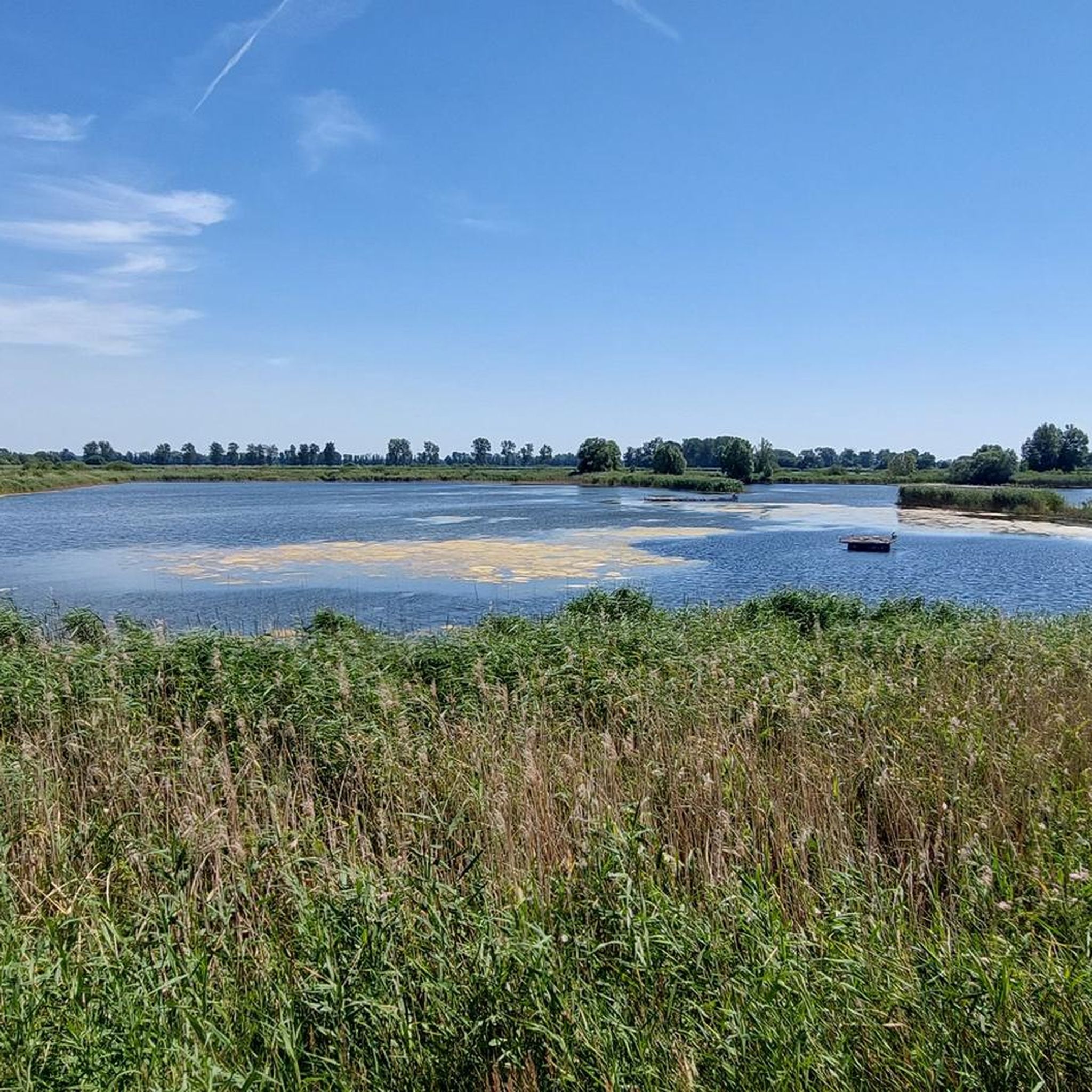
Gravel biking in Oberes Rhinluch offers routes through a fen landscape characterized by numerous lakes, river systems like the Rhin, and expansive wetlands. The region's terrain is generally flat to gently undulating, providing varied surfaces suitable for gravel bikes. Trails often follow dikes, forest paths, and quiet country roads, connecting small villages and natural areas. This environment supports both longer endurance rides and shorter, scenic excursions.
Best gravel bike trails in Oberes Rhinluch
- The most popular gravel bike trail is…
Last updated: October 19, 2026
5.0
(1)
21
riders
71.4km
04:34
390m
390m
Hard gravel ride. Good fitness required. You may need to push your bike for some segments of this route.
2
riders
53.6km
03:22
150m
150m
Moderate gravel ride. Good fitness required. Mostly paved surfaces. Suitable for all skill levels.

4.5
(2)
2
riders
70.9km
04:06
250m
250m
Moderate gravel ride. Good fitness required. Mostly paved surfaces. Suitable for all skill levels.
Our route recommendations are based on thousands of hikes, rides, and runs completed by other people on komoot.
Start today with a free account
Your next adventure awaits.
Tips from the Community


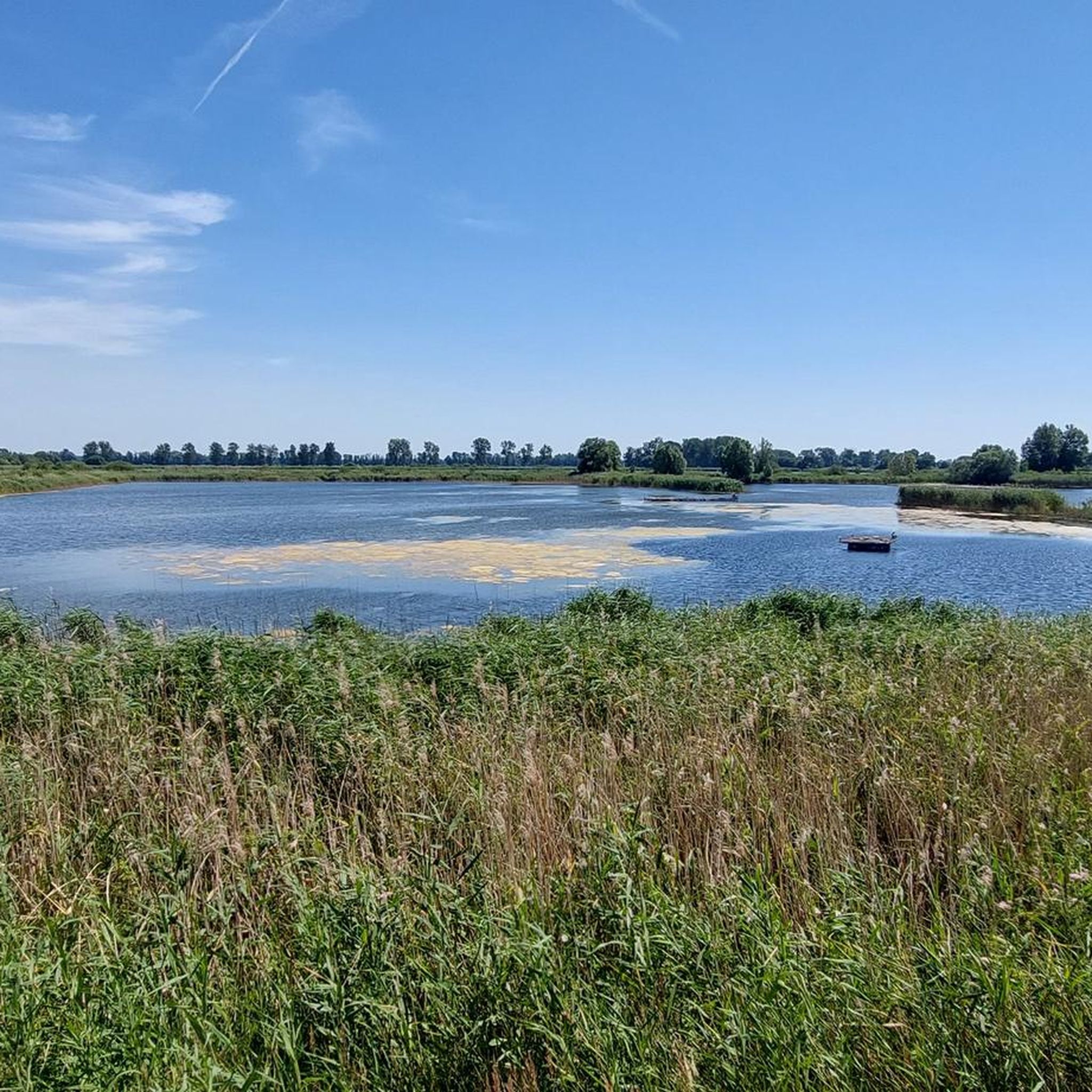
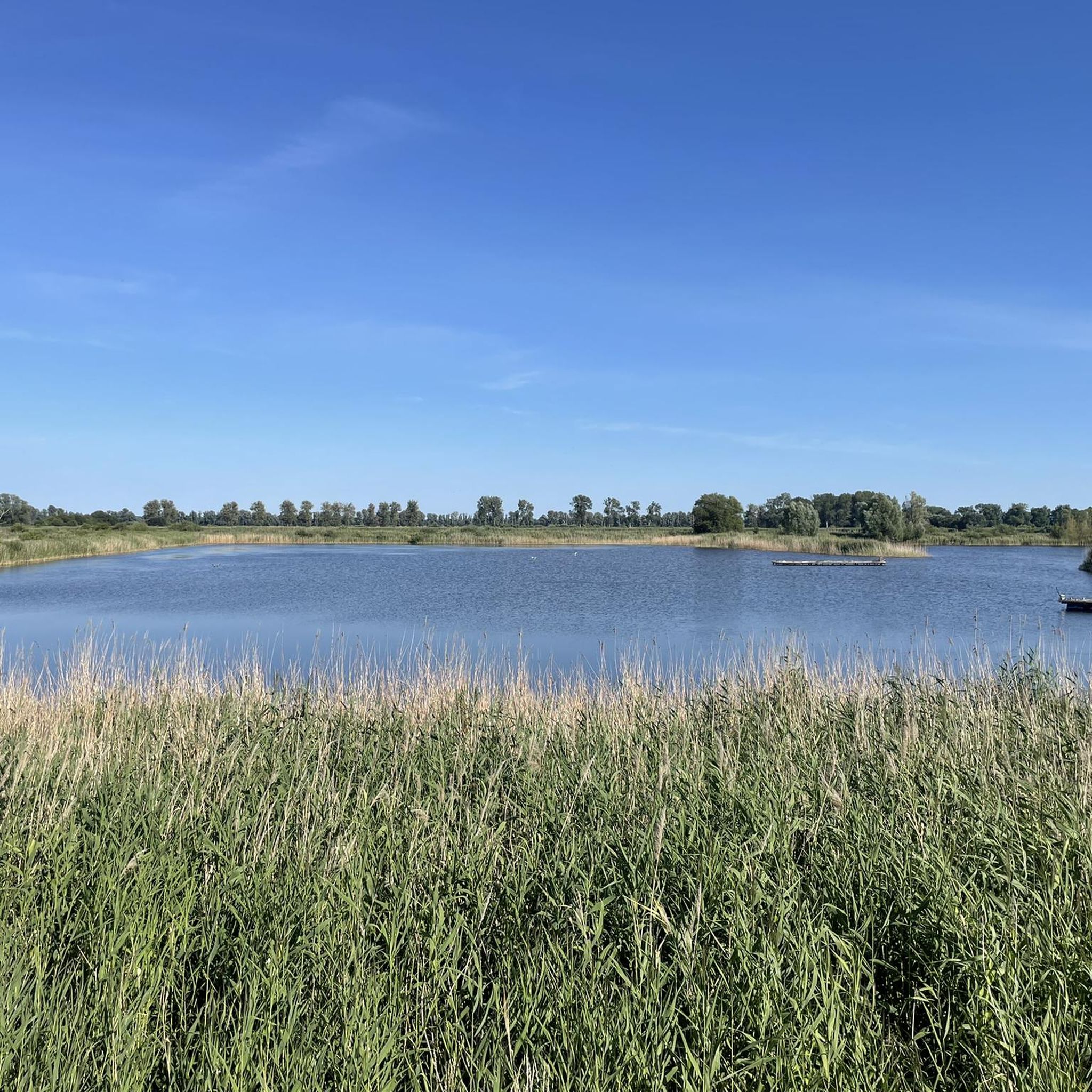
Most of the lakes in the Ruppiner Land region are worth a visit. They are surrounded by pine forests and, in good weather, reflect the typical North German sky.
0
0

Very nice place to linger, with a magical view over the Stechlin.
0
0

Castle tours are generally possible on Wednesdays outside of school holidays. The annual Wustrau Lake Festival at the castle's lakeside stage also invites you to discover the knight's seat. The grave of the hussar general is located on the north side of the Wustrau Church. The Brandenburg-Prussia Museum today bears witness to the region's history.
4
0
The 129-kilometer-long Rhin is a right tributary of the Havel in Brandenburg and, with a catchment area of 1,780 km², the third largest.
3
0
This is the way to Lake Molchow. A quiet body of water with some lovely swimming spots.
3
0
There are hardly any examples of this left in Brandenburg. A little Dutch style.
3
0
The river rises in the Ostprignitz-Ruppin district, about 8.5 kilometers west of Rheinsberg. Its source lies on the southern edge of the Mecklenburg Lake District in the Rheinsberg Lake District, just a few hundred meters west of the small settlement of Wallitz. From there, the Rhin flows through several small and large lakes (Bramin, Kagar, Dollgow, Schlaborn, Rheinsberger, and Grienericksee) to Rheinsberg. This more traditional version is contradicted by scientific research, according to which the Rhin rises in Lake Twern, about twelve kilometers northwest of Rheinsberg, and flows via Lake Rochow, Lake Giesenschlag, Lake Zootzen, and Lake Tietzow into Lake Schlaborn.
3
0
Frequently Asked Questions
What is the general difficulty level of gravel bike trails in Oberes Rhinluch?
The gravel bike trails in Oberes Rhinluch offer a range of difficulties, from moderate to difficult. The terrain is generally flat to gently undulating, but some longer routes or those with varied surfaces can be more challenging. For example, the Alt Ruppin Lock – Kalksee loop from Wustrau-Radensleben is rated as difficult, while the Altfriesack Lock – Lake Ruppin loop from Wustrau-Radensleben is moderate.
Are there any family-friendly gravel bike routes in Oberes Rhinluch?
While specific 'family-friendly' designations aren't always explicit, the region's generally flat to gently undulating terrain makes many moderate routes suitable for families with some cycling experience. Shorter, less strenuous loops like the Altfriesack Lock – Lake Ruppin loop from Wustrau-Radensleben (30.9 km) could be a good option, offering scenic views without excessive distance or elevation.
What kind of natural attractions can I expect to see along the gravel bike trails?
Oberes Rhinluch is rich in natural beauty, characterized by numerous lakes, river systems like the Rhin, and expansive wetlands. Along the trails, you might encounter highlights such as the Linum Ponds, the Oberes Rhinluch Nature Reserve, and various observation towers like the Crane Observation Tower Oberes Rhinluch, especially during migration seasons.
Are there circular gravel bike routes available in Oberes Rhinluch?
Yes, many of the gravel bike routes in Oberes Rhinluch are designed as loops, allowing you to start and end at the same point. Examples include the Alt Ruppin Lock – Kalksee loop from Wustrau-Radensleben, the Altfriesack Lock – Lake Ruppin loop from Wustrau-Radensleben, and the Wustrau Castle – View of the Rhin River loop from Wustrau-Radensleben.
What is the best time of year for gravel biking in Oberes Rhinluch?
The best time for gravel biking in Oberes Rhinluch is typically from spring through autumn (April to October). During these months, the weather is generally mild, and the natural landscape is vibrant. Spring and autumn also offer opportunities for birdwatching, particularly crane migration around areas like Linum Ponds.
What are the typical lengths and durations of gravel bike trails in the region?
Gravel bike trails in Oberes Rhinluch vary significantly in length and duration. You can find moderate routes around 30 kilometers, taking about 2 hours, such as the Altfriesack Lock – Lake Ruppin loop from Wustrau-Radensleben. Longer, more challenging routes can extend up to 75 kilometers, requiring over 5 hours to complete, like the Gudelack Lake in Lindow – Lake Stechlin loop from Herzberg (Mark).
Are there any historical sites or landmarks to see along the routes?
Yes, some routes in Oberes Rhinluch pass by historical sites. For instance, the Wustrau Castle – View of the Rhin River loop from Wustrau-Radensleben leads through riverine landscapes and past historical points of interest. The region's small villages also offer glimpses into local history and architecture.
What kind of surfaces can I expect on the gravel bike trails?
The gravel bike trails in Oberes Rhinluch feature a diverse mix of surfaces. You'll primarily ride on dikes, forest paths, and quiet country roads. This variety provides an engaging experience for gravel bikers, combining natural and semi-paved sections.
What do other gravel bikers enjoy most about the trails in Oberes Rhinluch?
The area is highly rated by the komoot community, with an average score of 4.75 stars from over 30 visitors. Reviewers often praise the tranquil atmosphere, the scenic routes along lakes and rivers, and the well-maintained paths that allow for immersive rides through the wetlands and forests.
Are there opportunities for wildlife observation while gravel biking?
Oberes Rhinluch is known for its rich birdlife, especially around the wetlands and Linum Ponds. During migration seasons, you can observe large numbers of cranes. The Crane Observation Tower Oberes Rhinluch and Kranich-Schlafplatz Linum Observation Tower are excellent spots for this, often accessible from nearby trails.
Where can I find parking for gravel biking in Oberes Rhinluch?
Many routes in Oberes Rhinluch start from villages like Wustrau-Radensleben or Herzberg (Mark). These locations typically offer public parking options suitable for accessing the trails. It's advisable to check local signage upon arrival for specific parking regulations and availability.
Are there any specific viewpoints or scenic spots recommended along the trails?
Yes, the region offers several scenic viewpoints, particularly those overlooking the lakes and wetlands. The Crane Observation Tower Oberes Rhinluch and the Kranich-Schlafplatz Linum Observation Tower provide excellent panoramic views, especially for observing the natural landscape and wildlife. Routes often follow dikes, offering open vistas of the surrounding countryside.
Most popular routes in Oberes Rhinluch
Most popular attractions in Oberes Rhinluch

Get inspired with the komoot mobile app


Explore more
Browse the best Gravel rides in other regions.
