The best walks and hikes in Oberes Rhinluch
4.6
(1100)
4,368
hikers
326
hikes
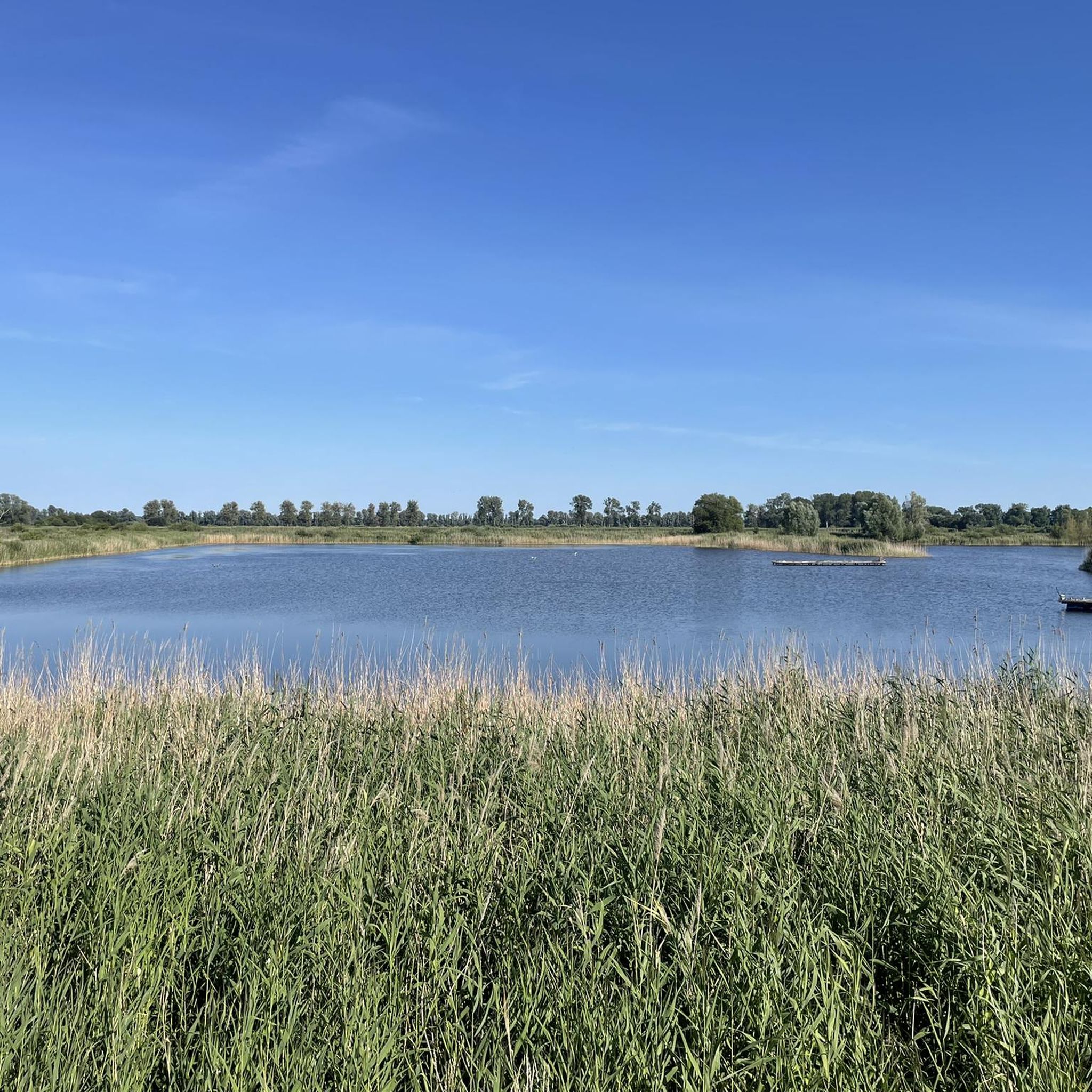
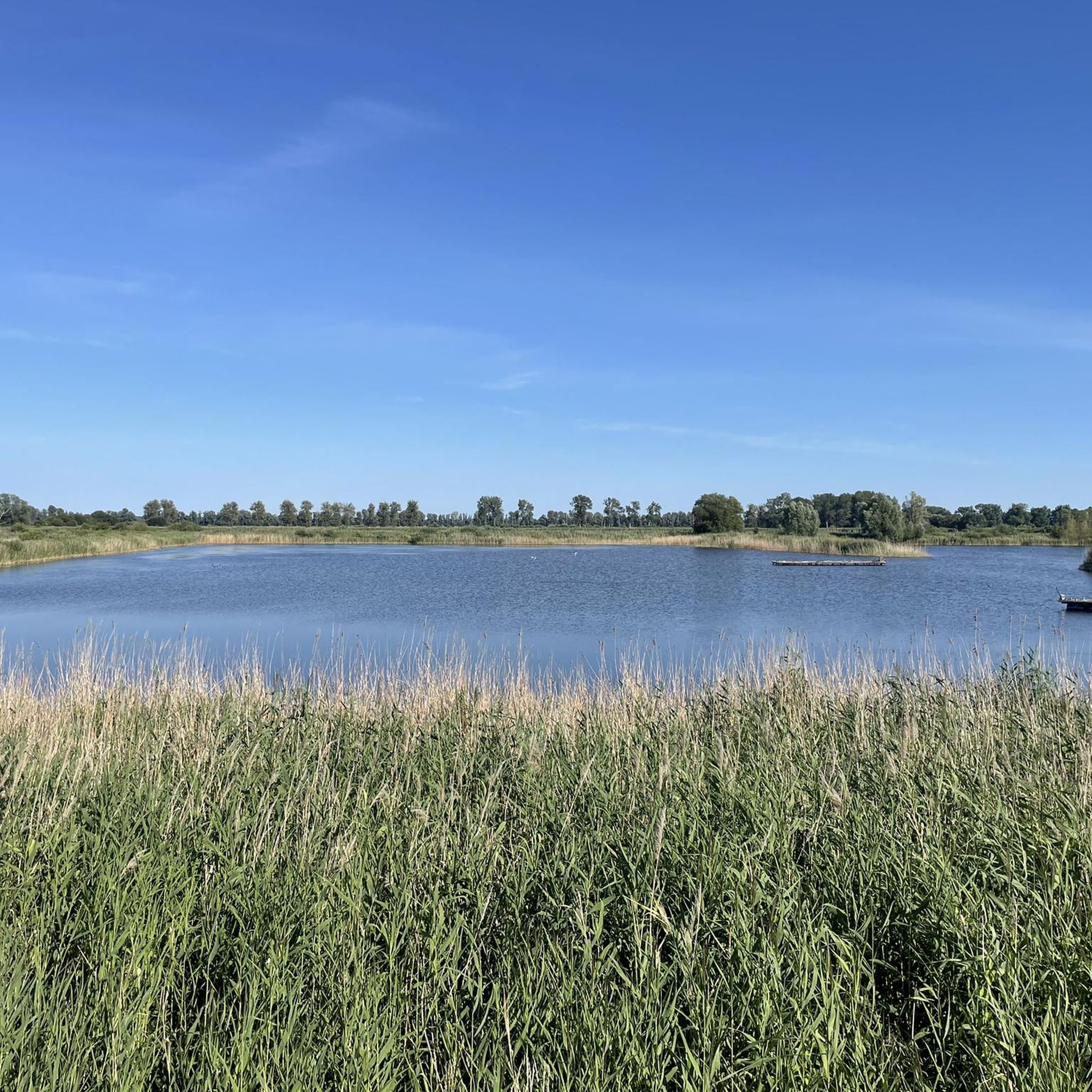
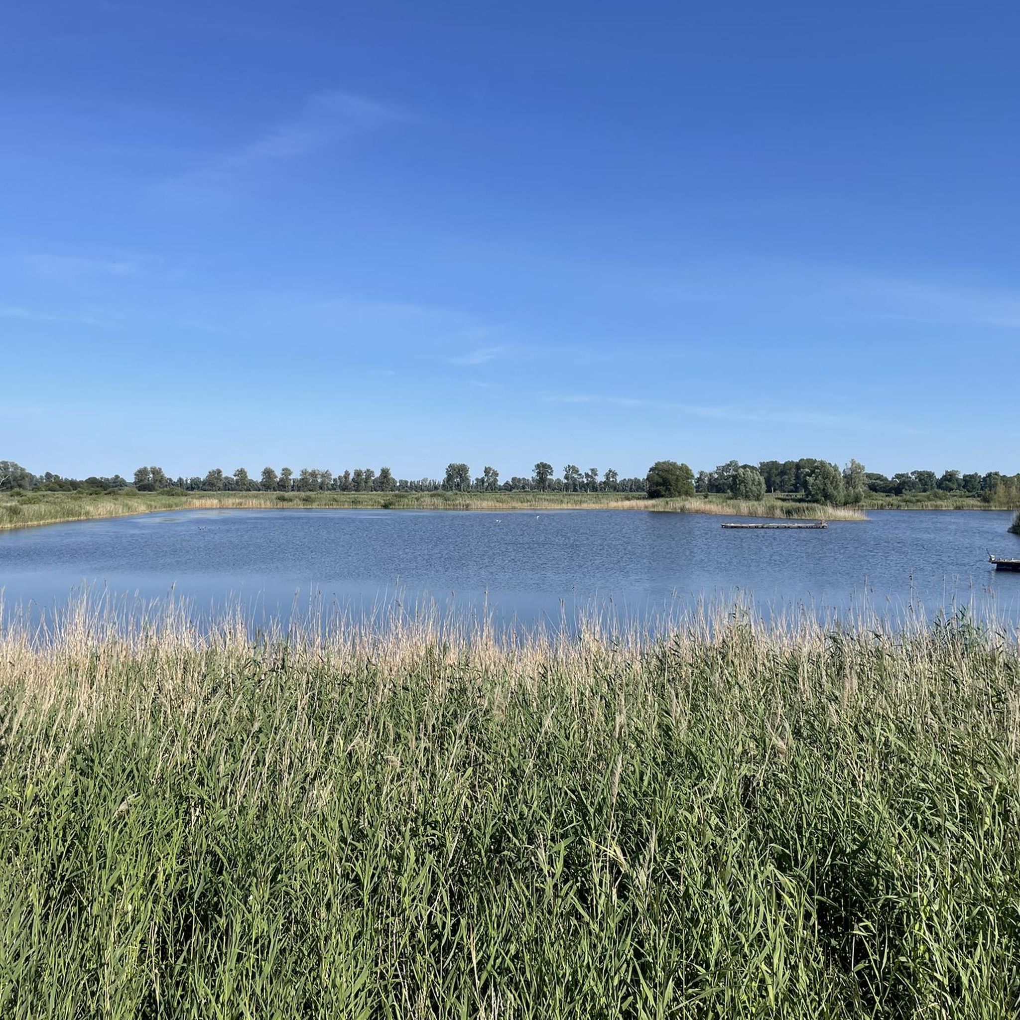
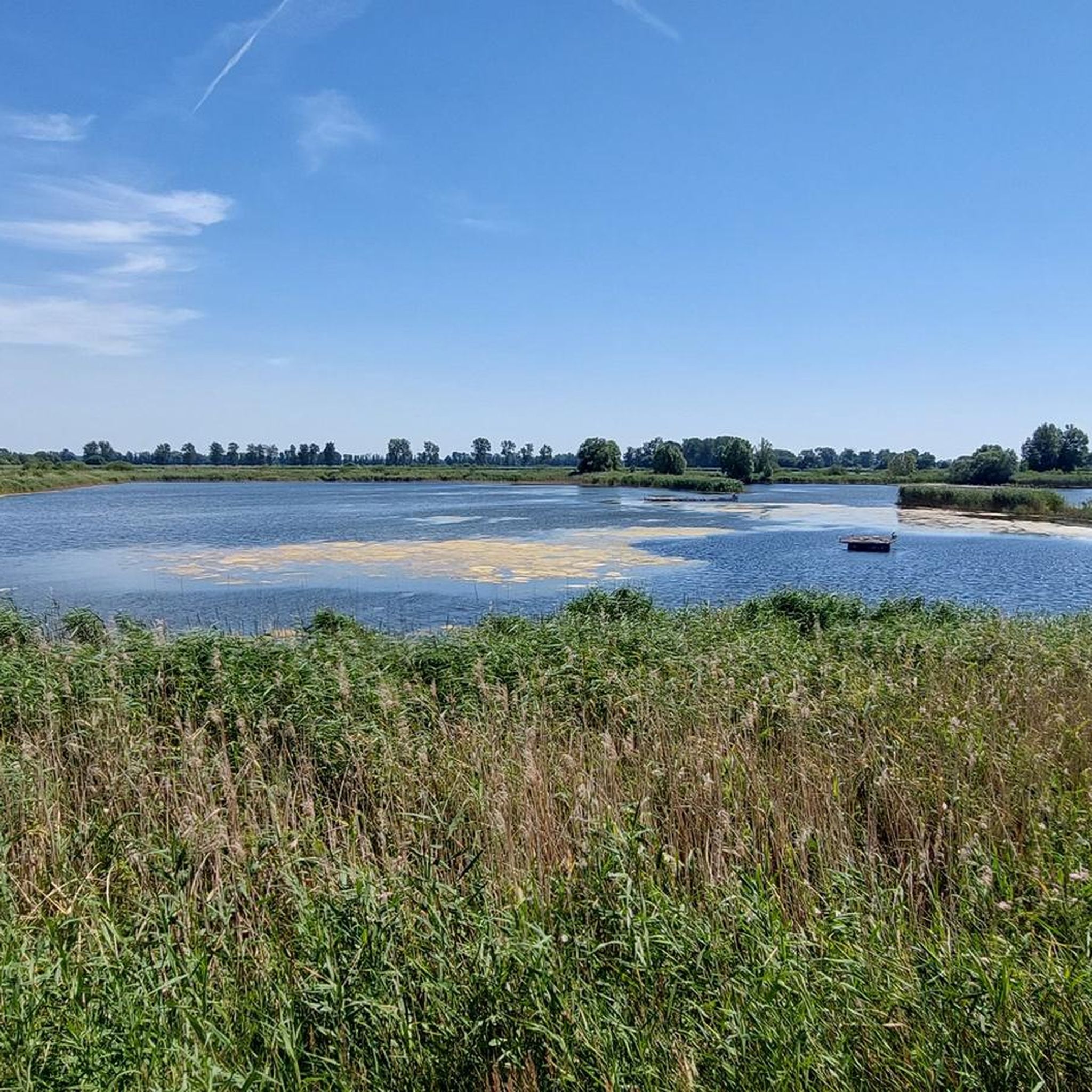
Hiking in Oberes Rhinluch offers trails through a vast fen landscape in Brandenburg, Germany. This protected area is characterized by wide, open meadows and pastures, interspersed with tree lines of alder and poplar. The terrain is largely flat, shaped by the Rhin river system and includes significant water bodies such as the Linum Ponds, providing a unique environment for outdoor activities.
Best hiking trails in Oberes Rhinluch
- The most popular hiking route is Linum Ponds (Fehrbellin) – Neogothic village church…
Last updated: June 28, 2026
4.9
(62)
202
hikers
Easy hike. Great for any fitness level. Easily-accessible paths. Suitable for all skill levels.
4.8
(42)
157
hikers
Moderate hike. Good fitness required. Easily-accessible paths. Suitable for all skill levels.

Sign up for free
4.6
(31)
122
hikers
Easy hike. Great for any fitness level. Easily-accessible paths. Suitable for all skill levels.
4.3
(9)
87
hikers
Easy hike. Great for any fitness level. Easily-accessible paths. Suitable for all skill levels.
11
hikers
Hard hike. Very good fitness required. Easily-accessible paths. Suitable for all skill levels.
Get access to more routes and recommendations from other explorers.
Sign up for free
Already have an account?
Our route recommendations are based on thousands of hikes, rides, and runs completed by other people on komoot.
Start today with a free account
Your next adventure awaits.
Login or Signup
Tips from the Community

Zieten is one of the most important military commanders of his time.
0
0

This bathing spot at the lower end of Lake Ruppin near Alt Friesack is particularly charming and offers plenty of space. Plenty of sun as needed, or shade from larger trees. Stunningly beautiful rocks along the shoreline don't interfere with entering the water. There are many niches. In fact, there are several bathing spots lined up next to each other here. Note: It's also a real highlight as a viewing point. Treading water would be a good alternative, as the entrance is quite shallow.
0
0

Castle tours are generally possible on Wednesdays outside of school holidays. The annual Wustrau Lake Festival at the castle's lakeside stage also invites you to discover the knight's seat. The grave of the hussar general is located on the north side of the Wustrau Church. The Brandenburg-Prussia Museum today bears witness to the region's history.
4
0

A museum is on the same site
0
0

In the Hakenberg village church there is a collection of bullets from the Battle of Fehrbellin. 42 bullets from the battle of 1675 are in the Hakenberg church tower. The heaviest bullet weighs eleven kilograms and the lightest 700 grams. The finders and the exact location were recorded in a book. Another treasure is the Golden Book of Hakenberg. The book contains 2000 signatures, including those of Otto von Bismarck and Theodor Fontane.
2
0
In 1868, the church, which today seems a little oversized, was built for the 2,000 residents who lived here at the time. The neo-Gothic brick building has three naves inside. The stepped gable is a striking feature. Beneath the standing building are the remains of an older church, and on the top of the tower shines a Prussian crown that was donated in 1701. It is a reminder of the presence of kings in the town, who liked to come here to hunt black grouse.
2
1

Located in the old estate gardens.
0
0
Frequently Asked Questions
How many hiking trails are available in Oberes Rhinluch?
Oberes Rhinluch offers a wide selection of routes, with over 300 hiking trails to explore. These range from easy strolls to more challenging, longer excursions, catering to various fitness levels.
What is the typical terrain like for hiking in Oberes Rhinluch?
The landscape in Oberes Rhinluch is predominantly a vast fen (Niedermoor), characterized by wide, open meadows and pastures. You'll find picturesque tree lines of alder and poplar, as well as riparian and bog forests. The terrain is largely flat, shaped by the Rhin river system, making for generally easy walking conditions.
Are there any easy or beginner-friendly hiking routes in Oberes Rhinluch?
Yes, Oberes Rhinluch is well-suited for easy and beginner-friendly hikes. Many routes are relatively flat, offering gentle walks through the fen landscape. An example is the Linum Ponds (Fehrbellin) – Linum Harbor – Teichland loop from Linum, which is an easy 4.6 km (2.9 miles) trail.
What kind of wildlife can I expect to see while hiking in Oberes Rhinluch?
Oberes Rhinluch is a significant habitat for diverse wildlife. It's renowned as a crucial resting place for tens of thousands of cranes during their autumn migration. You might also spot other birds like the great bittern, white-tailed eagle, and kingfisher, as well as mammals such as Elbe beavers and otters in the waterways. The Linum Ponds are particularly important for amphibians and various insects.
Are there any specific viewpoints or natural features to look out for?
Absolutely. The region is rich in natural features. The Linum Ponds (Fehrbellin) are a central attraction, especially for birdwatching. You can also visit the Crane Observation Tower Oberes Rhinluch or the Kranich-Schlafplatz Linum Observation Tower for excellent views of the landscape and wildlife, particularly during migration season.
Are there circular hiking routes available in Oberes Rhinluch?
Yes, many of the trails in Oberes Rhinluch are designed as circular routes, allowing you to start and end at the same point. An example is the Zieten Statue, Wustrau – Wustrau Castle loop from Wustrau-Altfriesack, an easy 5.7 km (3.5 miles) loop that explores the historic Wustrau area.
Is Oberes Rhinluch suitable for family-friendly hikes?
Yes, the generally flat and accessible terrain makes Oberes Rhinluch ideal for family-friendly hikes. Many shorter, easy routes are perfect for children, offering opportunities to observe nature and wildlife in a safe environment. The Linum Ponds (Fehrbellin) – Neogothic village church in Linum loop from Linum is a popular 6.0 km (3.7 miles) option that explores the ponds and local architecture.
Are dogs allowed on the hiking trails in Oberes Rhinluch?
Oberes Rhinluch is a nature reserve, and while dogs are generally welcome, it's important to keep them on a leash to protect the sensitive wildlife and ecosystems, especially during bird breeding and migration seasons. Always check local signage for specific rules in certain areas.
What is the best time of year to visit Oberes Rhinluch for hiking and wildlife observation?
The autumn months, particularly September and October, are exceptional for visiting Oberes Rhinluch, as this is when tens of thousands of cranes gather during their migration, offering a spectacular natural phenomenon. Spring also brings vibrant birdlife and blooming flora. While winter hiking is possible, be prepared for colder conditions and potentially frozen paths.
Are there options for longer, more challenging hikes?
For those seeking a longer challenge, Oberes Rhinluch also offers more extensive routes. The Linumhorst Bridge – Neogothic village church in Linum loop from Linum is a difficult 23.0 km (14.3 miles) trail, providing a full day's adventure through the fen landscape.
What do other hikers enjoy most about hiking in Oberes Rhinluch?
The area is highly rated by the komoot community, with an average score of 4.6 stars from over 1,000 reviews. Reviewers often praise the unique, tranquil fen landscape, the abundant opportunities for birdwatching and wildlife spotting, and the well-maintained paths that make for enjoyable, accessible hikes.
Where can I find parking or public transport access for hiking trails?
Many trailheads, especially around popular areas like Linum, offer designated parking facilities. For public transport, regional buses often connect to villages within or near Oberes Rhinluch, such as Linum or Fehrbellin, providing access points to the hiking network. It's advisable to check local transport schedules in advance.
Most popular routes in Oberes Rhinluch
Most popular attractions in Oberes Rhinluch

Get inspired with the komoot mobile app


Explore more
Browse the best Hikes in other regions.
