Obszar Chronionego Krajobrazu Ostrzyca Proboszczowicka
Obszar Chronionego Krajobrazu Ostrzyca Proboszczowicka
The best gravel rides in Obszar Chronionego Krajobrazu Ostrzyca Proboszczowicka
5.0
(2)
70
riders
10
rides
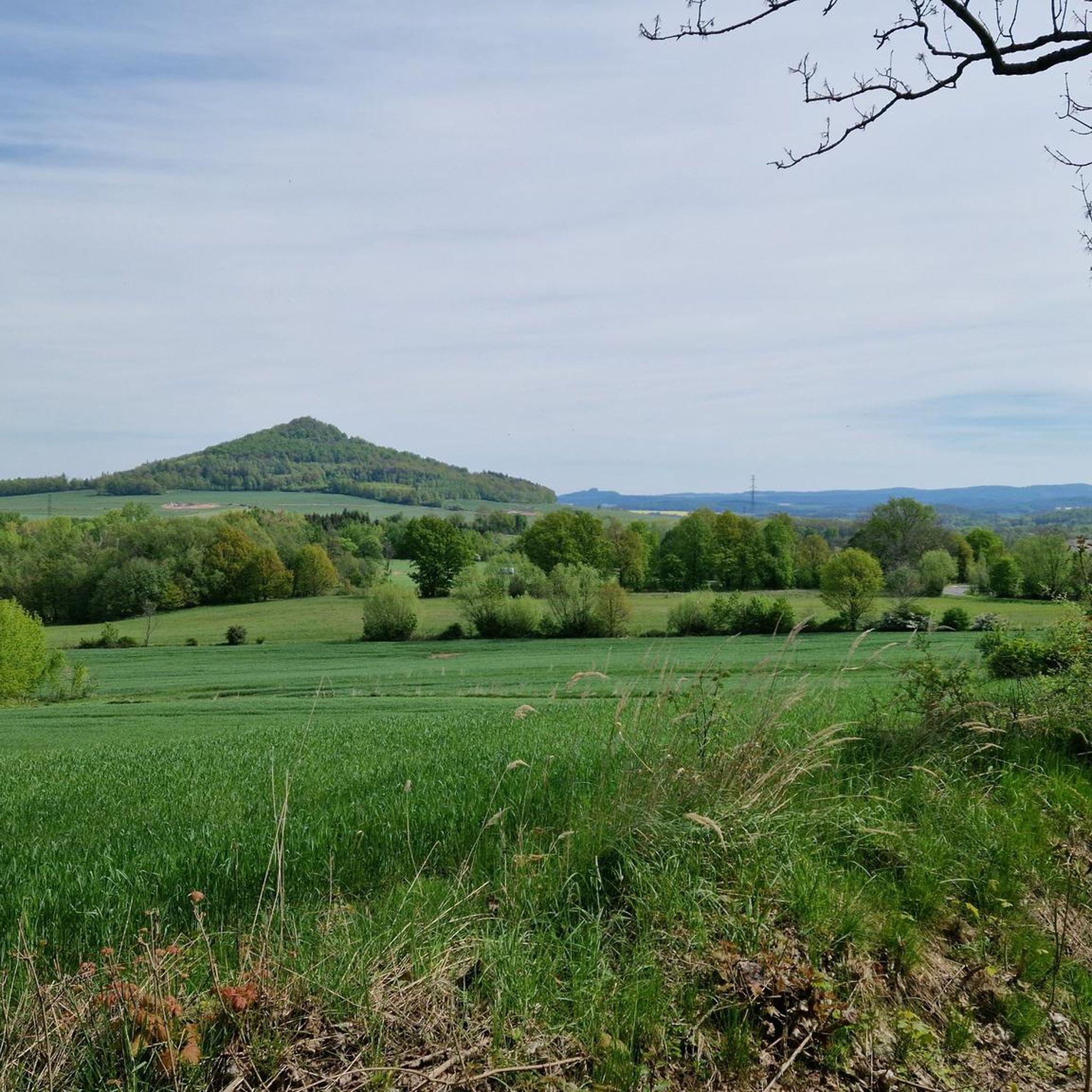
Gravel biking in Obszar Chronionego Krajobrazu Ostrzyca Proboszczowicka is characterized by its distinctive volcanic landscape, featuring Ostrzyca Mountain, an extinct volcano with a conical shape. The terrain includes unique basalt formations and extensive basaltic scree, known as "gołoborza." The region is predominantly covered by deciduous forests, offering varied surfaces for gravel bike routes. This area is part of the Land of Extinct Volcanoes Geopark, providing diverse trails through its geological features.
Best gravel bike trails in Obszar Chronionego Krajobrazu Ostrzyca…
Last updated: October 19, 2026
9
riders
14.7km
00:59
230m
230m
Hard gravel ride. Good fitness required. You may need to push your bike for some segments of this route.
6
riders
8.29km
00:31
100m
100m
Hard gravel ride. Great for any fitness level. You may need to push your bike for some segments of this route.

5.0
(1)
6
riders
56.9km
04:04
910m
910m
Hard gravel ride. Very good fitness required. Mostly paved surfaces. Suitable for all skill levels.
6
riders
114km
07:26
1,830m
1,830m
Hard gravel ride. Very good fitness required. You may need to push your bike for some segments of this route.
5.0
(1)
16
riders
40.4km
02:38
580m
580m
Hard gravel ride. Very good fitness required. Mostly paved surfaces. Suitable for all skill levels.
Get access to more routes and recommendations from other explorers.
Already have an account?
Our route recommendations are based on thousands of hikes, rides, and runs completed by other people on komoot.
Start today with a free account
Your next adventure awaits.
Popular around Obszar Chronionego Krajobrazu Ostrzyca Proboszczowicka
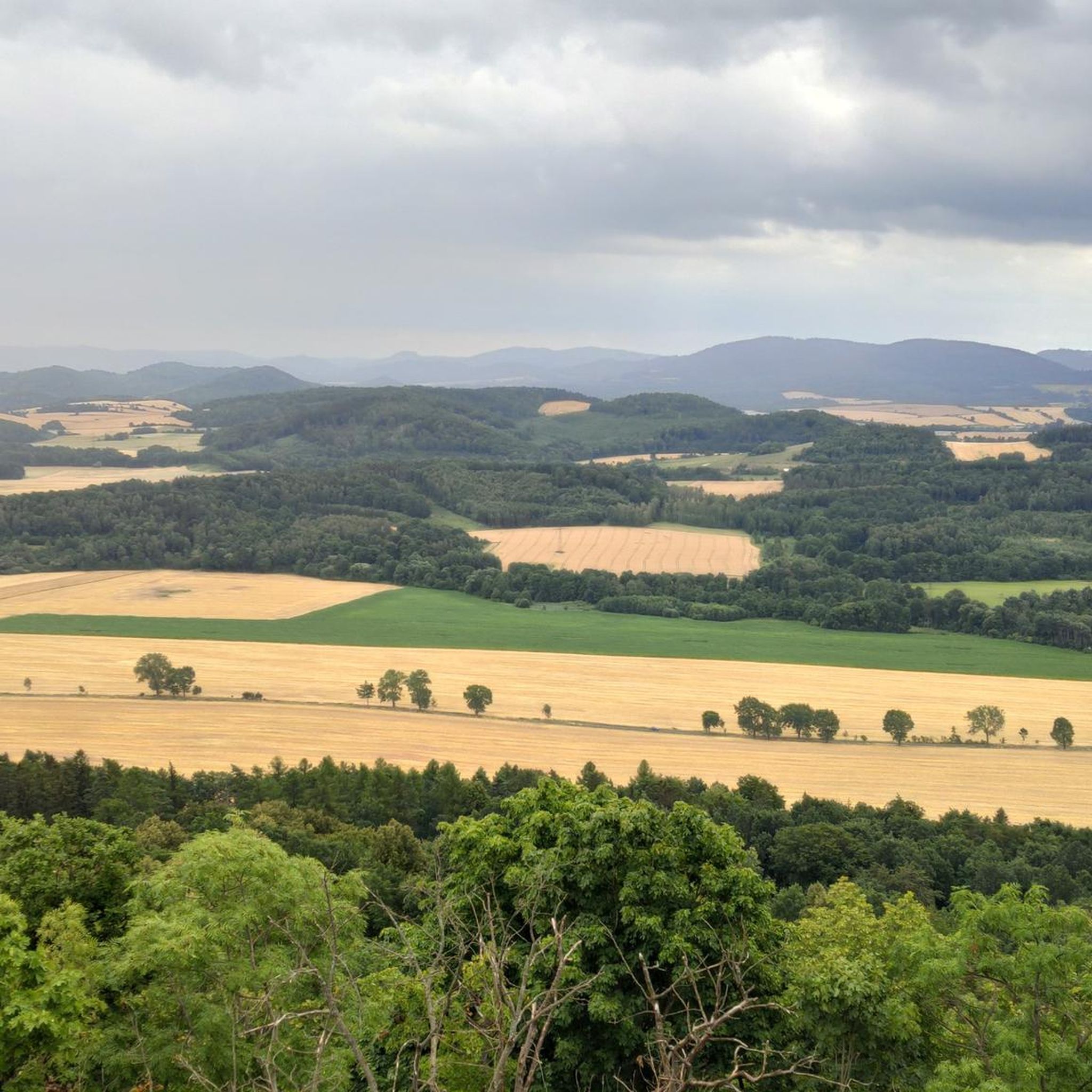
MTB Trails in Obszar Chronionego Krajobrazu Ostrzyca Proboszczowicka
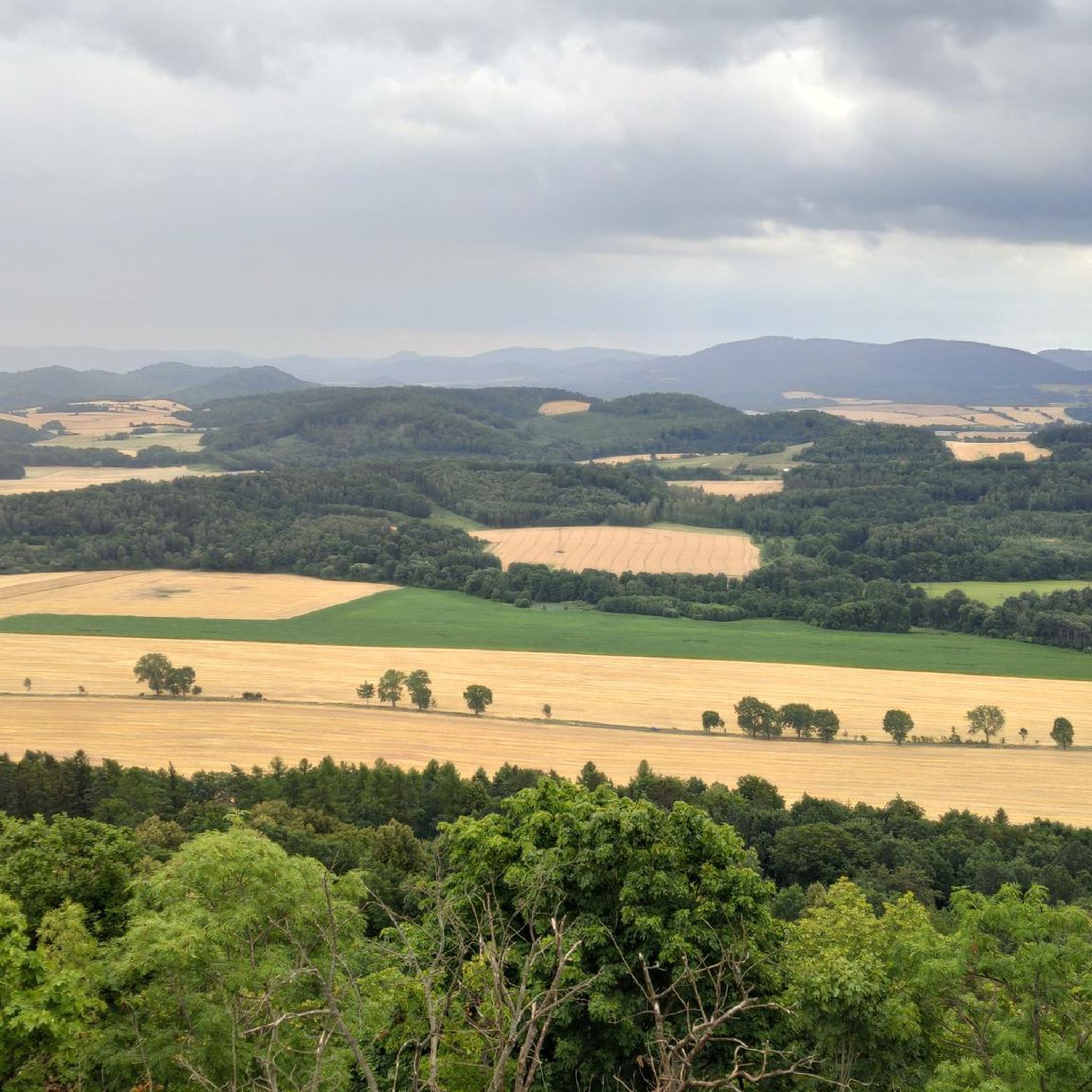
Cycling in Obszar Chronionego Krajobrazu Ostrzyca Proboszczowicka
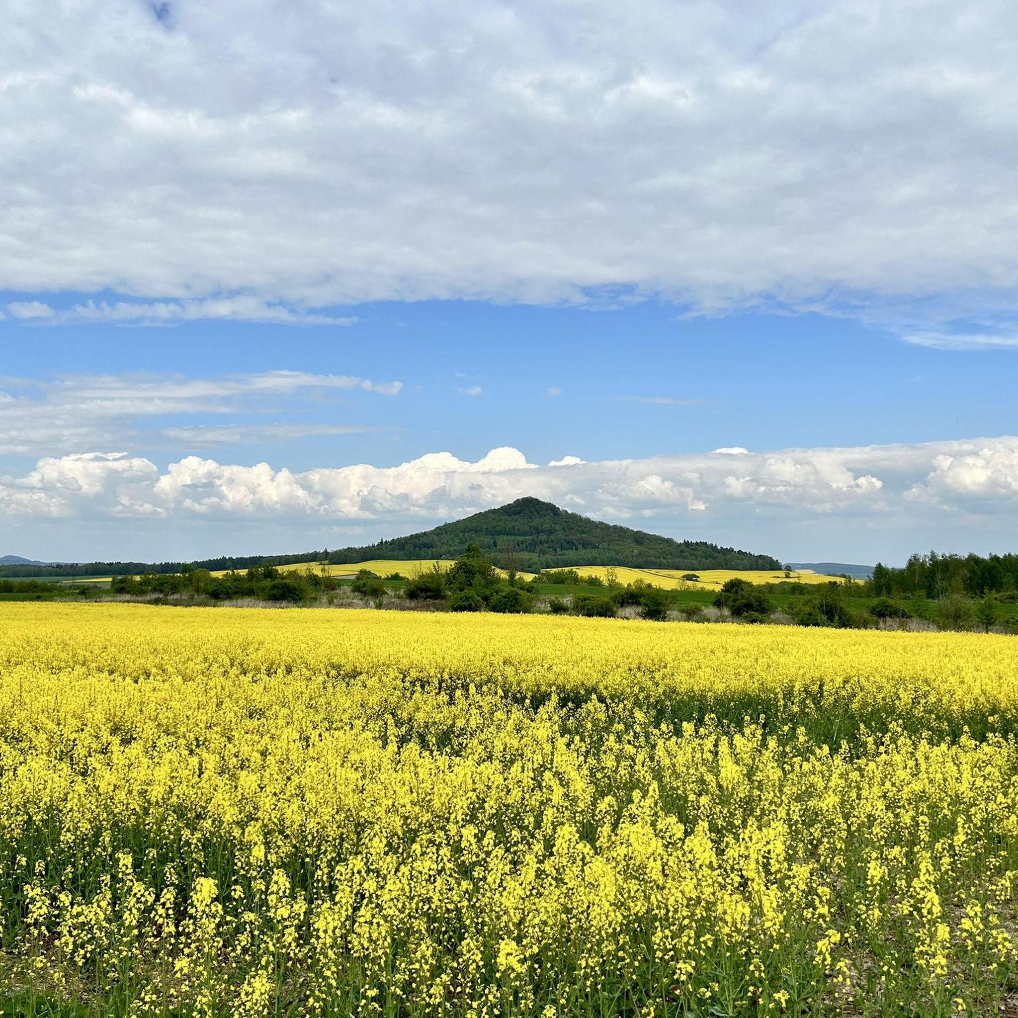
Road Cycling Routes in Obszar Chronionego Krajobrazu Ostrzyca Proboszczowicka
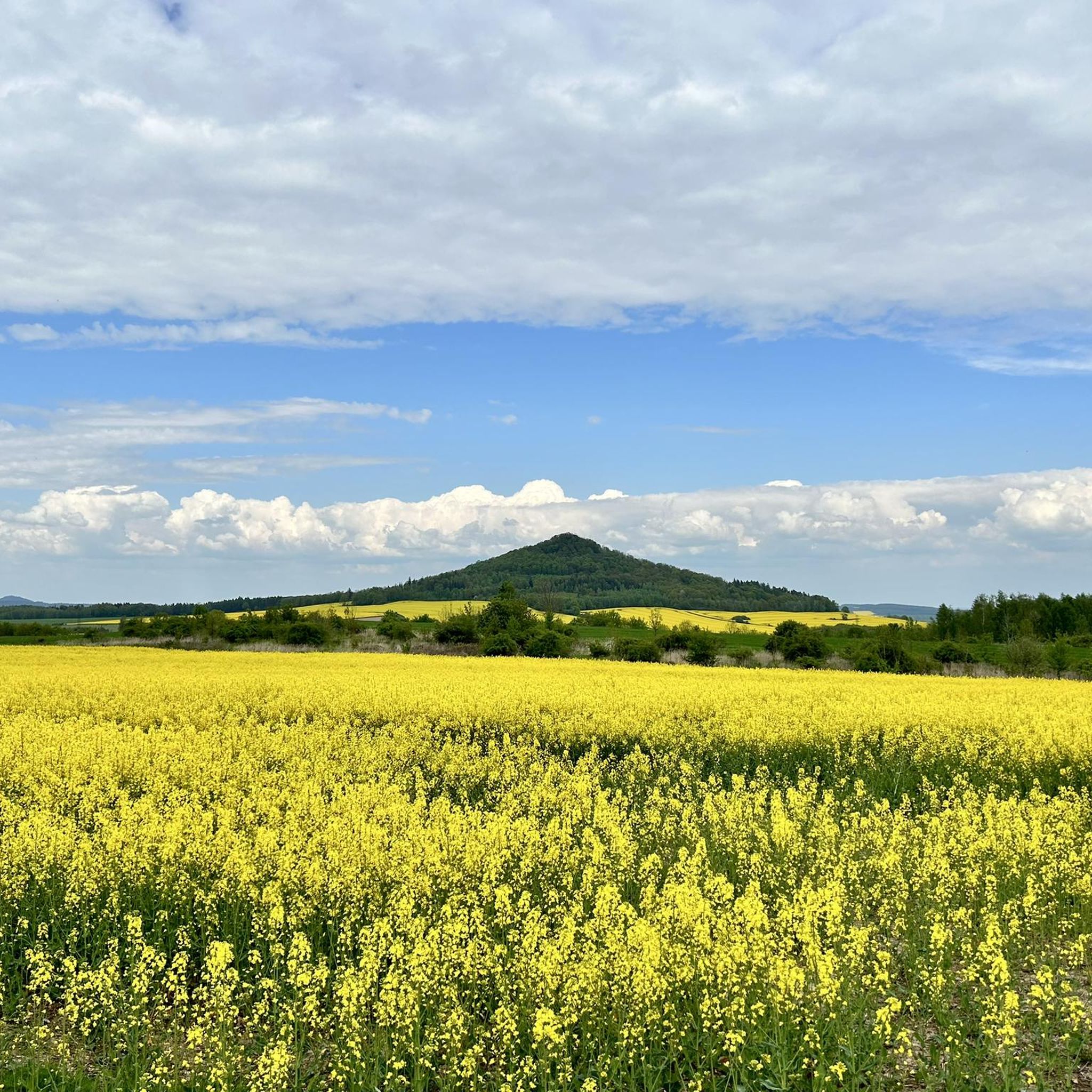
Hiking in Obszar Chronionego Krajobrazu Ostrzyca Proboszczowicka
Running Trails in Obszar Chronionego Krajobrazu Ostrzyca Proboszczowicka
Tips from the Community

Today it is an empty, vast mountain meadow, but as recently as the first half of the 20th century, rural life thrived here. The village of Gross-Iser (Wielka Izera) was founded in the 17th century by an Evangelical refugee from the Czech Republic. Before World War II, there were over 40 houses, two schools, three mountain huts, and a hunting lodge here. In May 1945, the village was occupied by Soviet soldiers, and the inhabitants were displaced. By the 1960s, all the buildings had been razed to the ground by the military. Riding along the bike path through the middle of the Hala, you are moving along the former main street of this non-existent Iser settlement.
0
0
Along the Izera riverbed and its tributaries (especially on the Czech side in Safirovy potok), life was already bustling with treasure hunters in the Middle Ages. The Walloons, who were ancient forest experts and mineralogists, panned for gold and rare gemstones in the local river sands: sapphires, rubies, topazes, and zircons. The greatest wealth was hidden in the deposits at the foot of the basalt mountain Bukovec. While pedaling along the banks, you are riding through the historical "El Dorado" of the Sudetes.
0
0
The highest open-pit mine in Central Europe, located at the top of the Izerski Garb ridge. Quartz has been mined here since the 13th century for the needs of local glassworks and alchemical laboratories. Today, the mine is inactive, and its excavation creates an amazing, raw, almost lunar landscape. The entire area and the gravel roads crossing it are dotted with fragments of milky quartz shimmering in the sun. For gravel and MTB cyclists, it is a cult destination – the climb to the mine is demanding and steep, but the views of the entire Karkonosze and Izera Mountains fully compensate for it.
0
0
Town Hall in Wleń – a classicist building erected in the years 1823–1824 in the middle of the Wleń market square. It is currently the seat of the municipal authorities of Wleń.
0
0

A nice place for a bonfire, it's worth bringing your own wood 🤭
0
0

Another interesting place to relax and have a sip of coffee, with a wonderful view
0
0

Jelenia Góra's Town Hall (Ratusz w Jeleniej Górze) is an architectural gem and the central building on Plac Ratuszowy, the city's historic market square. It combines Baroque elegance with urban functionality and is a symbol of the region's long administrative tradition. 🏛️ Architecture & History Built: Originally in the 18th century (1729–1749), after a devastating fire. Style: Baroque with Neoclassical elements, particularly evident in the symmetrical façade and tower. Special Features: Arcades on the ground floor – typical of Silesian towns, provide shelter and space for shops. Tower with clock – a central focal point, formerly also used as a fire alarm. Interiors: Partially restored, with historic ceilings and murals. 🏙️ Function & Use Today, the seat of the city administration (Urząd Miasta), including the mayor's office and the council chamber. A venue for receptions, exhibitions, and ceremonies. Part of the urban ensemble with surrounding town houses, fountains, and sculptures. 📍 Surroundings & Sights Directly on Plac Ratuszowy, surrounded by: Neptune Fountain Sculpture "Szczudlarz Jeleniogórski" by Vahan Bego Arcaded houses with cafés, galleries, and shops Deer sculptures – the city's heraldic animal 🎨 Significance for the city The town hall is not only an administrative center, but also a monument that defines the city's identity. It represents the civic self-government that has been practiced in Jelenia Góra for centuries. A popular venue for city tours, photo opportunities, and cultural events.
1
0

Very nice arcades with restaurants
1
0
Frequently Asked Questions
How many gravel bike trails are available in Obszar Chronionego Krajobrazu Ostrzyca Proboszczowicka?
There are 8 gravel bike trails documented in Obszar Chronionego Krajobrazu Ostrzyca Proboszczowicka. These routes offer a variety of experiences, from easier paths to more challenging climbs through the volcanic landscape.
What kind of terrain can I expect on the gravel bike trails in this region?
The terrain is distinctively volcanic, featuring unique basalt formations and extensive basaltic scree known as "gołoborza." Routes predominantly traverse deciduous forests, offering varied surfaces suitable for gravel biking. You'll encounter a mix of forest paths, gravel roads, and potentially some more technical sections, especially around Ostrzyca Mountain.
Are there any significant landmarks or viewpoints along the gravel routes?
Yes, the region is rich in natural landmarks. Ostrzyca Mountain itself, often called the "Polish Mount Fuji," offers panoramic views from its summit. The area is part of the Land of Extinct Volcanoes Geopark, showcasing geological features like basaltic columnar jointing. Nearby attractions include Wielisław Organ and Czartowska Skała, which are notable geological formations.
What is the best time of year for gravel biking in Obszar Chronionego Krajobrazu Ostrzyca Proboszczowicka?
The deciduous forests and varied terrain make spring, summer, and autumn ideal for gravel biking. Spring offers lush greenery, summer provides warmth, and autumn brings vibrant colors. The trails are generally accessible during these seasons, though conditions can vary with weather.
Are there gravel routes suitable for beginners or families?
Yes, the area offers routes for different ability levels. While some trails are rated difficult, there are also 2 easy routes available. For example, the Ruined Palace loop from Twardocice is an easy 6.7-mile (10.8 km) trail, and the Medieval Penitential Cross loop from Twardocice is another easy option at 8.7 miles (14.0 km).
Where can I park my car when visiting the gravel trails?
A dedicated parking area with picnic facilities and a bonfire pit is available at the base of Ostrzyca Mountain, near Proboszczów. This serves as a convenient starting point for many trails in the area.
Are there any circular gravel routes available?
Yes, many of the gravel routes in the region are designed as loops. Examples include the challenging View from Ostrzyca loop from Rezerwat Ostrzyca Proboszczowicka and the shorter, also difficult, Gravel loop from Rezerwat Ostrzyca Proboszczowicka. There are also easier loops like the Ruined Palace loop from Twardocice.
What kind of elevation gain can I expect on the gravel trails?
The elevation gain varies significantly depending on the route. Some trails, particularly those around Ostrzyca Mountain, feature significant climbs. For instance, the View from Ostrzyca loop has an elevation gain of approximately 229 meters. Other routes, like the Ruined Palace loop, have more moderate gains around 78 meters.
Can I bring my dog on the gravel bike trails?
As Obszar Chronionego Krajobrazu Ostrzyca Proboszczowicka is a protected landscape area and includes a nature reserve, it's generally advisable to keep dogs on a leash to protect local wildlife and flora. Always check specific signage at trailheads for any additional restrictions.
Are there options for more challenging gravel rides?
Absolutely. The region is known for its varied difficulty levels, with 5 out of 8 routes rated as difficult. Trails like the View from Ostrzyca loop and the Pilchowice Dam – Pilchowice Dam loop offer significant elevation gain and technical sections for experienced gravel bikers.
What do other gravel bikers enjoy most about the routes in this area?
The area is highly rated by the komoot community, with an average score of 5.0 stars. Reviewers often praise the unique volcanic landscape, the challenging climbs around Ostrzyca Mountain, and the diverse forest paths that make for an engaging gravel biking experience.
Are there any places to eat or drink near the trails?
While specific establishments aren't detailed in the route information, the presence of a parking area with picnic facilities at the base of Ostrzyca Mountain suggests opportunities for breaks. Proboszczów, a nearby village, would be the most likely place to find local gastronomy options.
Most popular routes in Obszar Chronionego Krajobrazu Ostrzyca Proboszczowicka
Most popular attractions in Obszar Chronionego Krajobrazu Ostrzyca Proboszczowicka

Get inspired with the komoot mobile app


Explore more
Browse the best Gravel rides in other regions.
