Obszar Chronionego Krajobrazu Ostrzyca Proboszczowicka
Obszar Chronionego Krajobrazu Ostrzyca Proboszczowicka
The best walks and hikes in Obszar Chronionego Krajobrazu Ostrzyca Proboszczowicka
4.5
(115)
1,263
hikers
12
hikes
Hiking trails in Obszar Chronionego Krajobrazu Ostrzyca Proboszczowicka lead through a landscape shaped by its volcanic past. The region is dominated by Ostrzyca, a conical extinct volcano known for its distinctive basalt formations, including hexagonal columnar jointing and unique stone runs. This area, part of the Kaczawskie Foothills, features a protected nature reserve safeguarding diverse flora. Panoramic views, including the Karkonosze mountains, are accessible from higher elevations.
Best hiking trails in Obszar Chronionego Krajobrazu Ostrzyca Proboszczowicka
- The most popular hiking…
Last updated: October 18, 2026
4.9
(17)
222
hikers
Easy hike. Great for any fitness level. Easily-accessible paths. Suitable for all skill levels.
5.0
(2)
28
hikers
6.68km
01:58
180m
180m
Easy hike. Great for any fitness level. Easily-accessible paths. Suitable for all skill levels.

5.0
(2)
13
hikers
Easy hike. Great for any fitness level. Easily-accessible paths. Suitable for all skill levels.
5.0
(1)
5
hikers
9.01km
02:35
200m
200m
Moderate hike. Good fitness required. Easily-accessible paths. Suitable for all skill levels.
1
hikers
9.15km
02:36
190m
190m
Moderate hike. Good fitness required. Easily-accessible paths. Suitable for all skill levels.
Get access to more routes and recommendations from other explorers.
Already have an account?
Our route recommendations are based on thousands of hikes, rides, and runs completed by other people on komoot.
Start today with a free account
Your next adventure awaits.
Popular around Obszar Chronionego Krajobrazu Ostrzyca Proboszczowicka
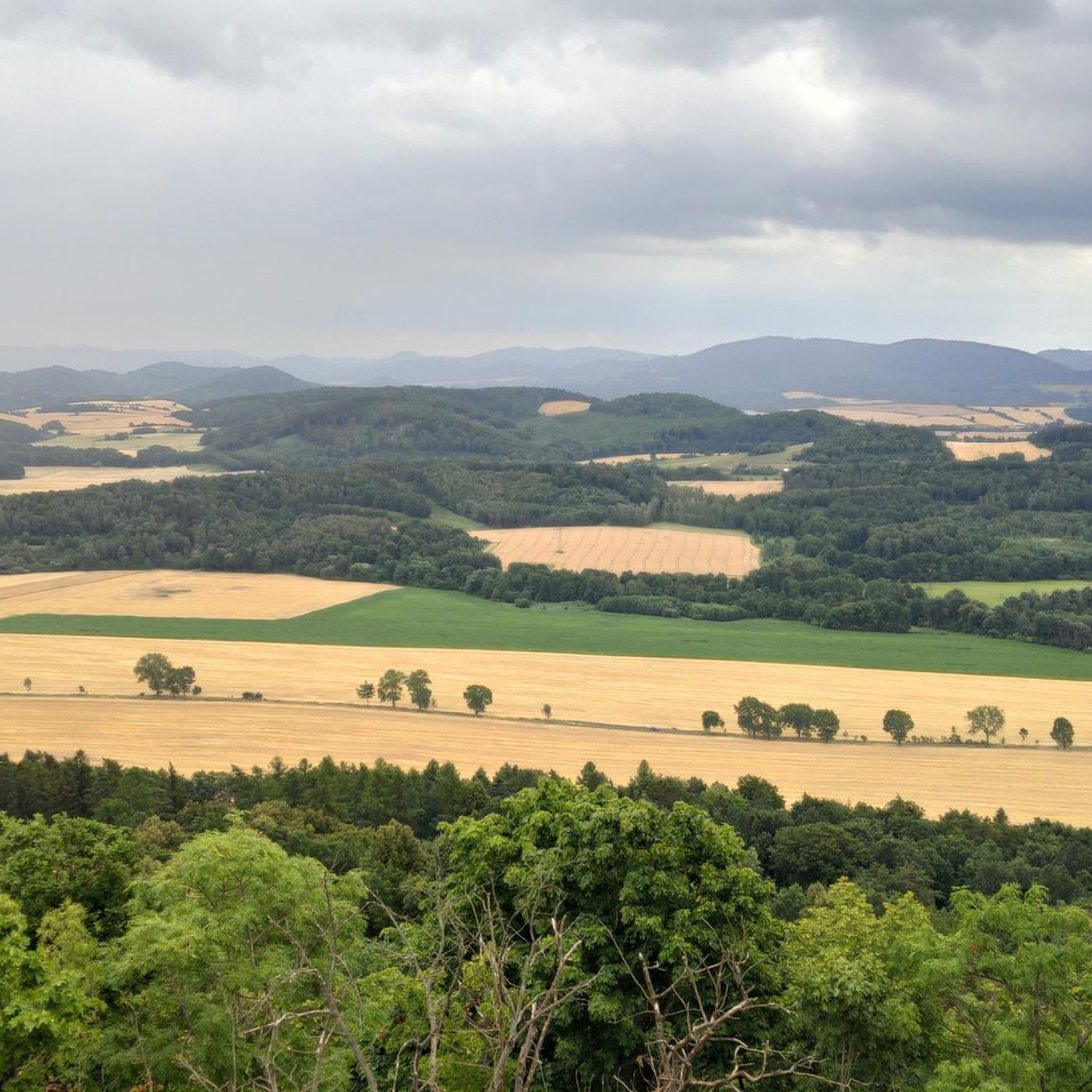
MTB Trails in Obszar Chronionego Krajobrazu Ostrzyca Proboszczowicka
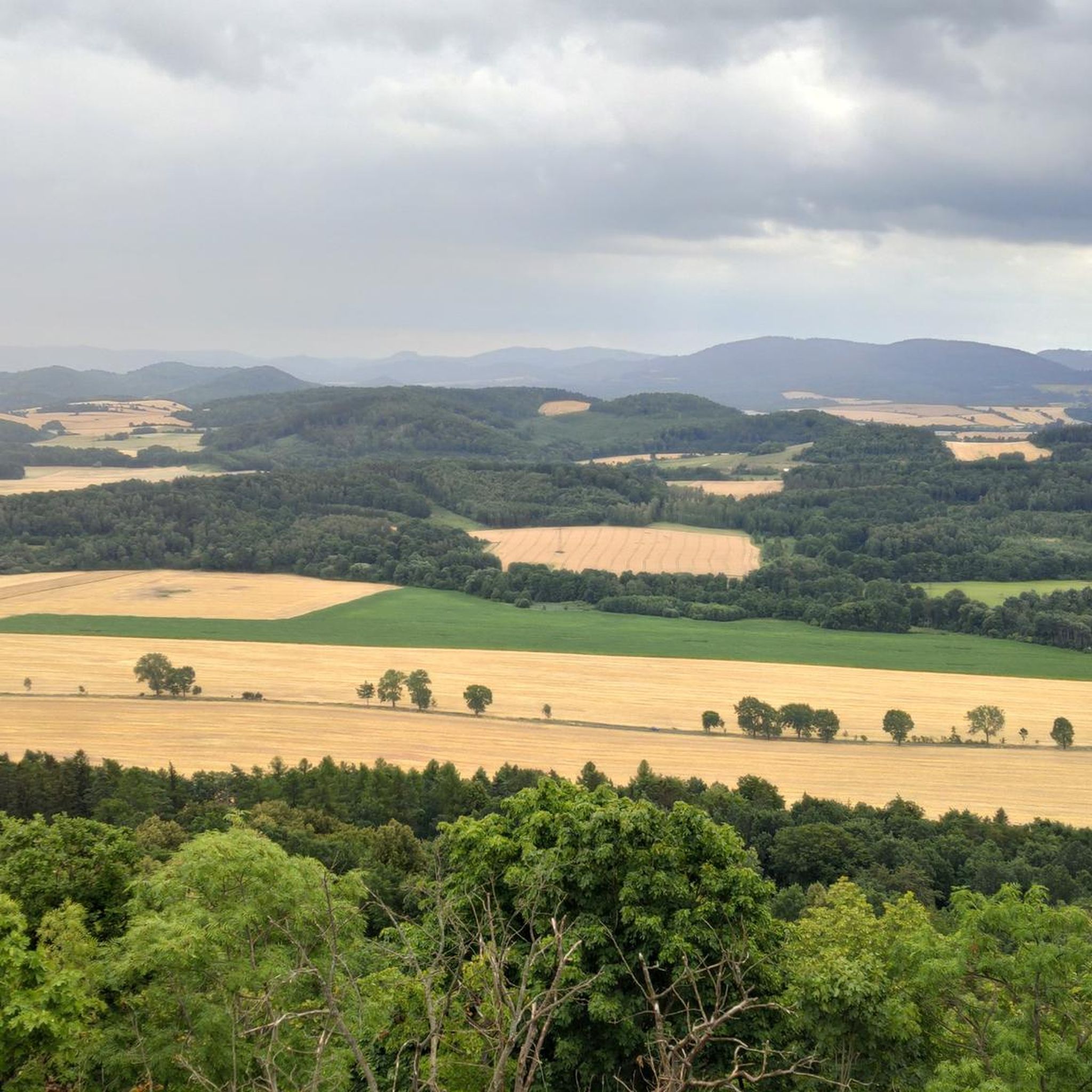
Cycling in Obszar Chronionego Krajobrazu Ostrzyca Proboszczowicka
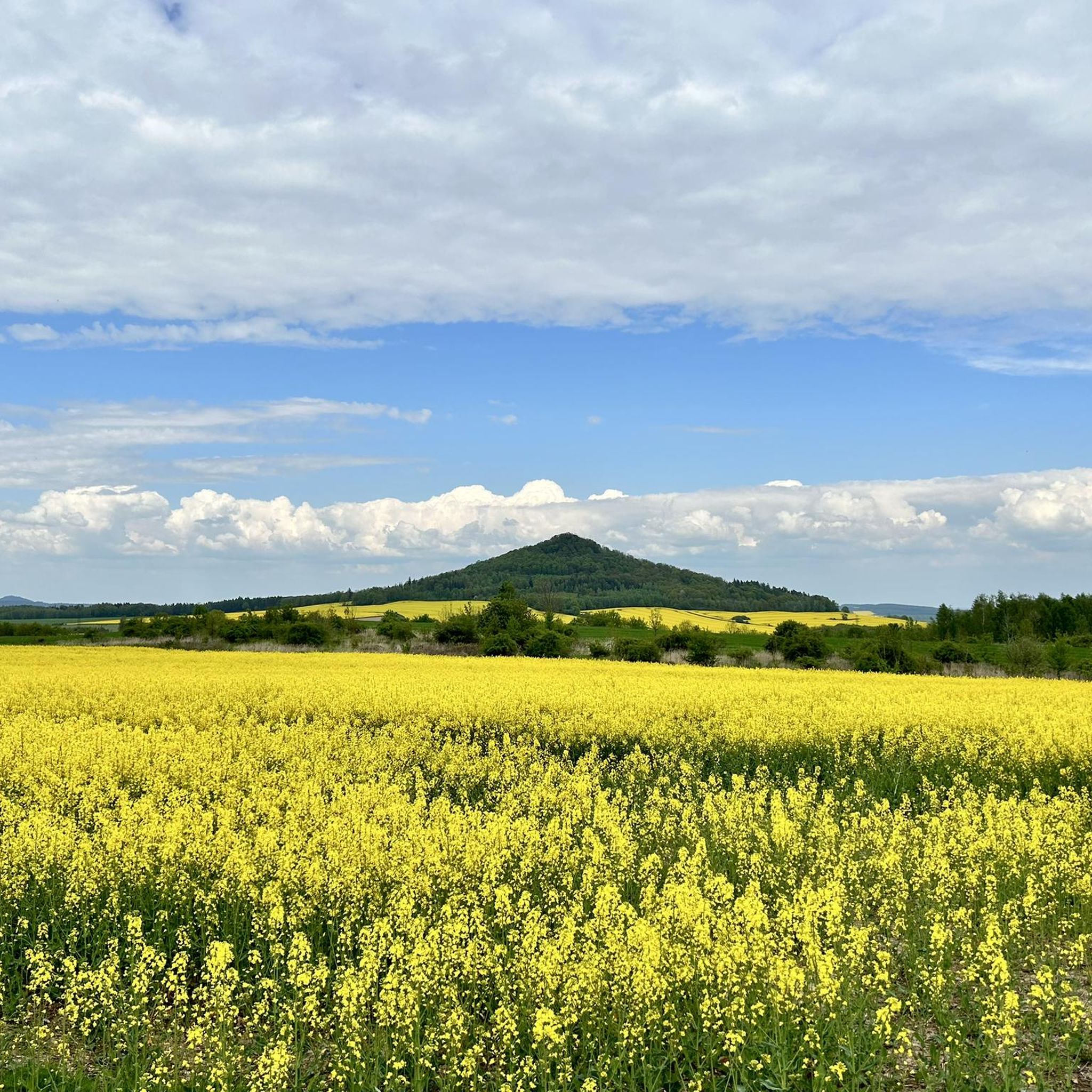
Road Cycling Routes in Obszar Chronionego Krajobrazu Ostrzyca Proboszczowicka

Gravel biking in Obszar Chronionego Krajobrazu Ostrzyca Proboszczowicka
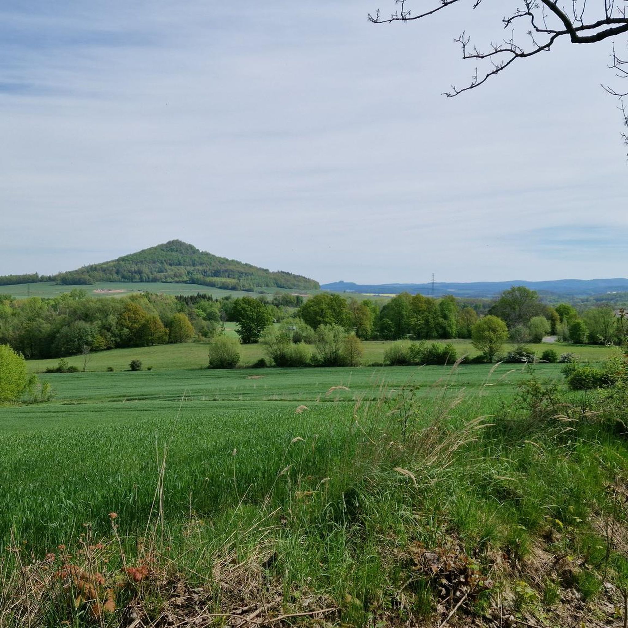
Running Trails in Obszar Chronionego Krajobrazu Ostrzyca Proboszczowicka
Tips from the Community

A nice place for a bonfire, it's worth bringing your own wood 🤭
0
0

Silesian Fudzijama. Beautiful panorama and charm of the rocky peak.
0
0
You may get tired, but the reward at the end makes up for the effort.
0
0
A place to rest after conquering the peak. Or a place to grill and relax.
1
0

A good 300 meters past the parking lot is this rest area with plenty of seating, which also offers shelter from the rain. One of the mountain bike trails also starts (or ends) right next to it.
1
0

When we reach Rozdroże pod Ostrzycą, the comfortable path changes into stone stairs, and the approach immediately takes on a mountainous character 🙂 This is where the most pleasant and picturesque part of the route begins (lasting less than 15 minutes).
0
0
Ostrzyca (501 m above sea level) is the highest elevation of the Kaczawskie Foothills, with an extremely distinct conical silhouette and its symbol. It rises in the western part of the Foothills, near the village of Proboszczów. It has extraordinary geological, geomorphological and botanical values.
0
0

Ostrzyca Proboszczowicka is the highest peak of the Kaczawskie Foothills. In reality, it is a volcanic neck, a fragment of a volcano chimney that was active about 20-25 million years ago, prepared by erosion. The elevation, rising to a height of 501 m above sea level above the flat area, is made of basanite, a volcanic rock poor in silica. In the top part, you can admire the largest rock fields in the Sudetes and a columnar joint occurring in basanites.
2
0
Frequently Asked Questions
What makes hiking in Obszar Chronionego Krajobrazu Ostrzyca Proboszczowicka unique?
The region is centered around Ostrzyca, an extinct volcano often called the 'Polish Fuji' due to its distinctive conical shape. Hikers can explore unique basalt formations, including hexagonal columnar jointing and rare basaltic 'gołoborza' (stone runs) at the summit. It's part of the 'Land of Extinct Volcanoes' Geopark, offering a unique geological experience.
Are there easy hiking trails suitable for families or beginners?
Yes, the area offers several easy routes. For instance, the Stone Steps to Ostrzyca Summit – Ostrzyca Proboszczowicka loop from Rezerwat Ostrzyca Proboszczowicka is an easy 3.2 km trail that takes about an hour, leading to the summit via stone steps. Another family-friendly option is the path from Proboszczów, which includes a linden alley and a picnic area.
What kind of views can I expect from the trails?
As the highest peak of the Kaczawskie Foothills (501 meters above sea level), Ostrzyca offers extensive panoramic views. From the summit, you can see for dozens of kilometers, including the majestic Karkonosze mountains on clear days. The climb, though involving over 400 stone stairs towards the end, is very rewarding.
Are there any circular hiking routes in the area?
Yes, many of the trails are designed as loops. For example, the Stone Steps to Ostrzyca Summit – Ostrzyca (501 m) loop from Proboszczów is an easy 4.8 km circular path. Another option is the View from Ostrzyca – Ostrzyca Proboszczowicka loop from Zielonki, which is a 6.7 km trail through varied terrain.
What natural attractions or geological features should I look out for?
The most prominent features are the basalt formations, remnants of Ostrzyca's volcanic past. Look for the distinctive hexagonal columnar jointing on rocks and the unique basaltic 'gołoborza' (stone runs) at the peak. The area is also a nature reserve, protecting diverse flora, including rare species like martagon lily and northern spleenwort.
Are dogs allowed on the hiking trails?
Generally, dogs are welcome on hiking trails in the region. However, as the highest parts of Ostrzyca are a nature reserve, it's always best to keep dogs on a leash to protect the local wildlife and flora, and to check for any specific local regulations at trailheads.
What is the best time of year to go hiking in Obszar Chronionego Krajobrazu Ostrzyca Proboszczowicka?
The area is beautiful throughout the year. Spring brings blooming flora, while autumn offers vibrant colors. Summer provides pleasant temperatures for hiking. Even in winter, the trails can be accessible, offering a different, serene experience, though appropriate gear for snow and ice is recommended.
Are there any historical sites or points of interest along the routes?
Beyond its natural beauty, Ostrzyca holds historical significance. During World War II, the hill was fortified by German forces. Attentive hikers might still spot characteristic depressions in the ground, which are remnants of trenches, adding a historical layer to your exploration.
What do other hikers say about the trails in Obszar Chronionego Krajobrazu Ostrzyca Proboszczowicka?
The trails are highly rated by the komoot community, with an average score of 4.7 stars from over 90 reviews. Hikers often praise the unique volcanic landscape, the panoramic views, and the accessibility of the paths for various fitness levels.
How many hiking trails are available in Obszar Chronionego Krajobrazu Ostrzyca Proboszczowicka?
There are over 10 hiking trails available in Obszar Chronionego Krajobrazu Ostrzyca Proboszczowicka, ranging from easy strolls to more moderate ascents, ensuring options for various abilities and preferences.
Is there parking available near the trailheads?
Yes, there are usually designated parking areas in villages like Proboszczów, which serve as common starting points for trails leading up Ostrzyca. These spots are typically well-marked and provide convenient access to the hiking routes.
Are there any longer or more challenging routes for experienced hikers?
While many routes are easy, there are options for those seeking a longer challenge. For example, the View from Ostrzyca – Ostrzyca Proboszczowicka loop from Proboszczów is a moderate 9.0 km trail that offers a more extended experience with greater elevation changes.
Most popular routes in Obszar Chronionego Krajobrazu Ostrzyca Proboszczowicka
Most popular attractions in Obszar Chronionego Krajobrazu Ostrzyca Proboszczowicka

Get inspired with the komoot mobile app


Explore more
Browse the best Hikes in other regions.
