The best gravel rides in Chía
5.0
(12)
215
riders
13
rides
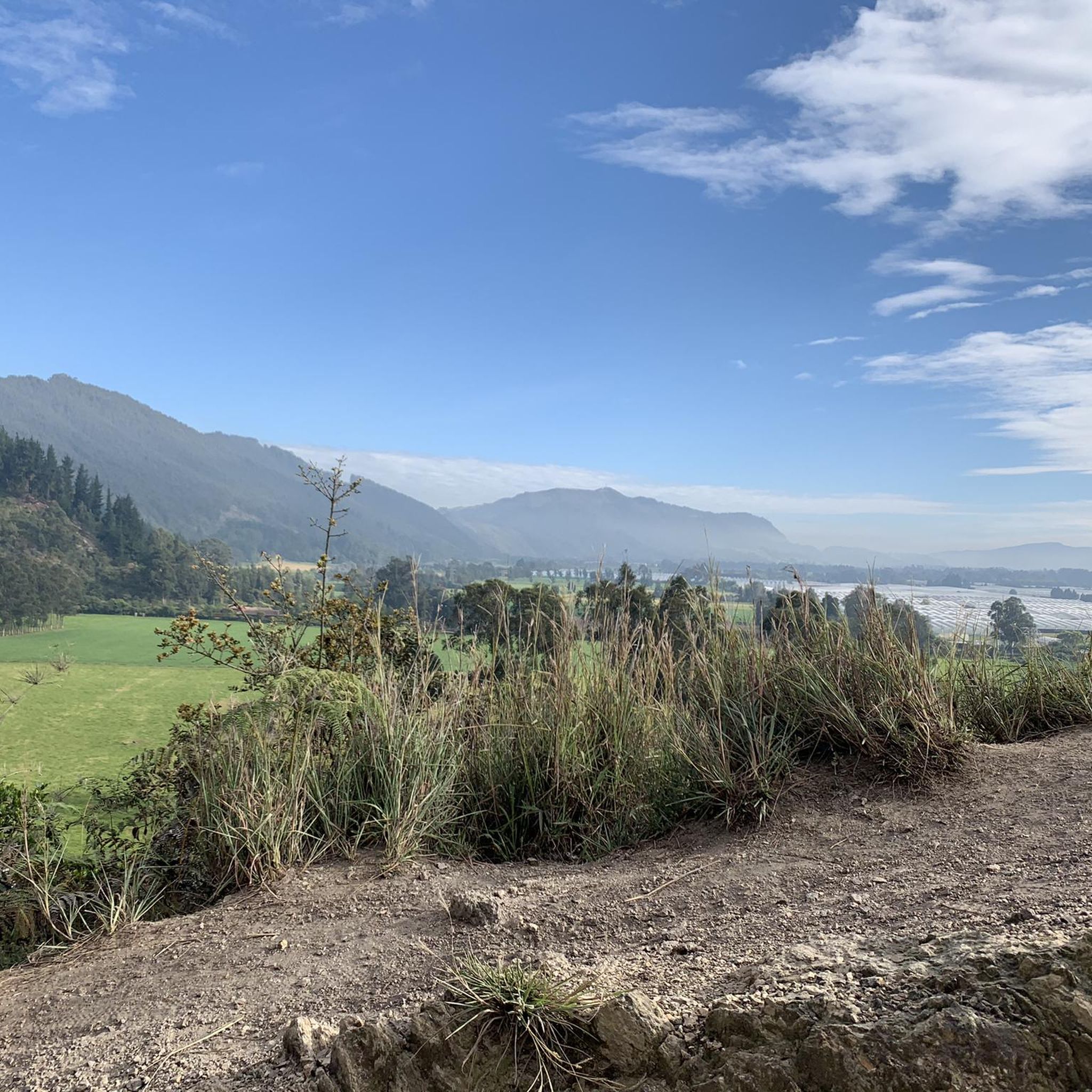
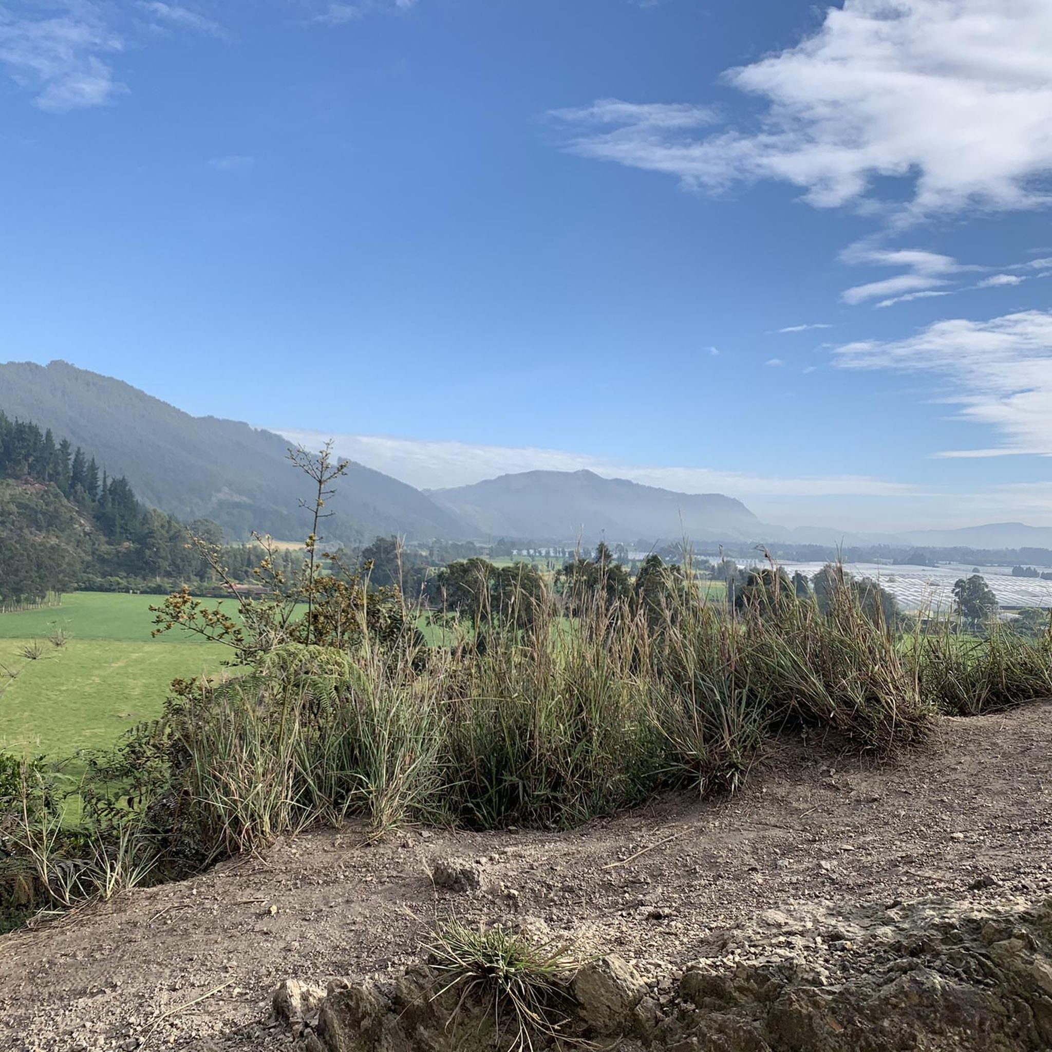
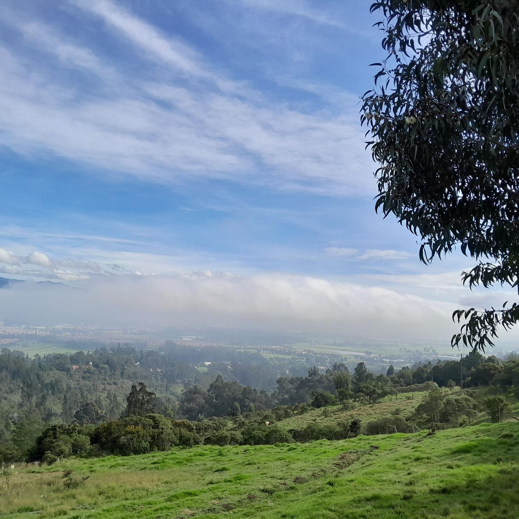
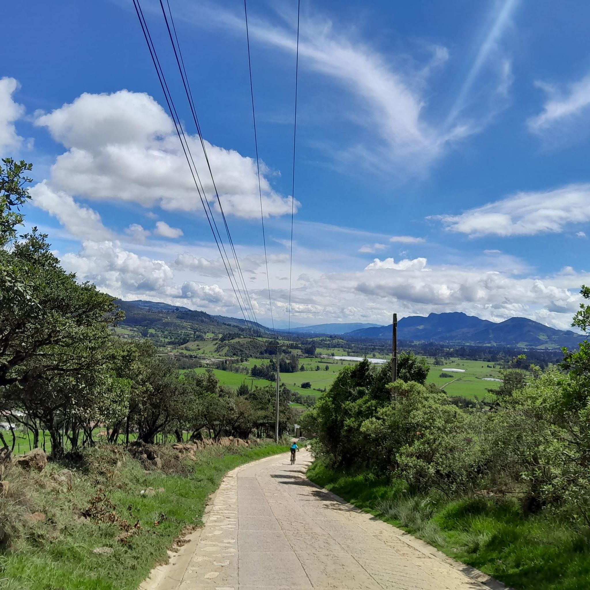
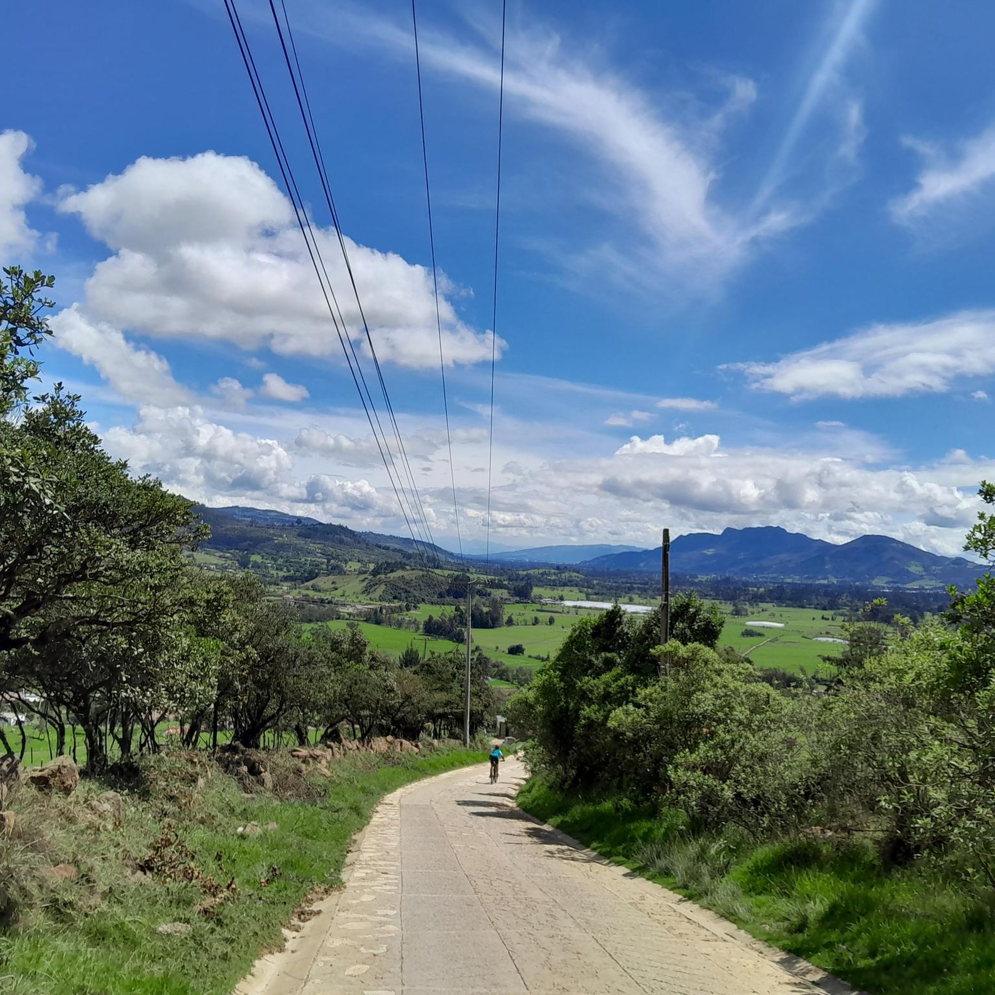
Gravel biking in Chía offers diverse landscapes, from vast green areas to challenging mountain terrain, making it a notable destination for outdoor activities. The region features a mix of paved, unpaved, and loose gravel surfaces, characteristic of its natural environment. These varied conditions provide an ideal setting for gravel cycling, catering to different skill levels. Its proximity to Bogotá further enhances its appeal as an accessible outdoor hub.
Best gravel bike trails in Chía
- The most popular gravel bike trail…
Last updated: July 17, 2026
5.0
(2)
43
riders
27.4km
02:14
410m
410m
Moderate gravel ride. Good fitness required. Mostly paved surfaces. Suitable for all skill levels.
5.0
(4)
38
riders
28.5km
02:17
410m
410m
Moderate gravel ride. Good fitness required. Mostly paved surfaces. Suitable for all skill levels.

Sign up for free
5.0
(2)
19
riders
60.4km
04:39
970m
970m
Hard gravel ride. Very good fitness required. Mostly paved surfaces. Suitable for all skill levels.
5.0
(1)
16
riders
26.0km
02:08
510m
510m
Hard gravel ride. Very good fitness required. Mostly paved surfaces. Suitable for all skill levels.
17
riders
84.3km
05:35
920m
920m
Hard gravel ride. Very good fitness required. Mostly paved surfaces. Suitable for all skill levels.
Get access to more routes and recommendations from other explorers.
Sign up for free
Already have an account?
Our route recommendations are based on thousands of hikes, rides, and runs completed by other people on komoot.
Start today with a free account
Your next adventure awaits.
Login or Signup
Tips from the Community

Excellent route
0
0

A place to climb.
0
0

3km climb with a 6.6% slope 1.5 km of footprint plate 1.5 km unpaved road road that connects the municipalities of Tenjo and Chía
0
0

The view is very good, and it is worth going up
0
0


The smoothest climb from Chia
0
0

The route sends you through a wall on the way up to the valvanera If you go 200 more meters you go up another with more curves and you don't spend as much
0
0
Frequently Asked Questions
How many gravel bike trails are available in Chía?
Chía offers a diverse selection of over 10 gravel bike trails, catering to various skill levels. You'll find 4 moderate routes and 8 more challenging options to explore.
What kind of terrain can I expect on Chía's gravel bike trails?
The terrain in Chía is characteristic of Colombia's natural landscape, featuring a mix of paved, unpaved, and loose gravel surfaces. You can expect challenging climbs and descents, often with stunning mountain scenery and vast green landscapes.
What is the best time of year for gravel biking in Chía?
Chía's climate generally allows for gravel biking year-round. However, for the most pleasant conditions, consider visiting during the drier seasons to avoid heavy rains, which can make some unpaved sections more challenging.
Are there any loop gravel bike trails in Chía?
Yes, many of Chía's gravel bike routes are designed as loops, allowing you to start and end in the same location. For example, the Alto de la Valvanera – Welcome Sign to Tabio loop from Chía is a popular moderate loop, and the more challenging View of Chía from Valvanera – Alto de la Valvanera loop from El Rosario also offers a circular experience.
Are there challenging gravel bike routes in Chía?
Absolutely. Chía is known for its demanding gravel routes, often featuring significant elevation gains and technical sections. A particularly challenging option is the Welcome Sign to Tabio – Lourdes Church loop from La Caro, which is a difficult 37.9-mile (61.0 km) path traversing varied terrain and challenging climbs.
Are there any routes suitable for beginners or those looking for an easier ride?
While many routes in Chía are moderate to difficult, there are options that can be more approachable. The region's diverse network includes routes that, while still offering a good workout, might have less extreme elevation or shorter distances. It's best to check the difficulty ratings and elevation profiles on individual tour pages to find one that suits your fitness level.
What natural attractions or viewpoints can I expect to see along the gravel bike trails in Chía?
Chía's gravel trails often lead to breathtaking natural features and viewpoints. You might encounter areas offering panoramic views of the northern Bogotá savanna, such as those near Alto de Canicas or the scenic Capilla Valvanera. The region is rich with green landscapes and offers a tranquil escape.
Are there any historical or cultural landmarks near the gravel bike routes?
Yes, Chía is rich in history and culture. Beyond the natural beauty, you can find sites like the Moon Temple, a historical site for the Muisca moon goddess, or the colonial architecture in the Main Square. The historic Puente del Común and the French-style Castillo Marroquín are also notable points of interest that add to the area's allure.
Is parking available near the gravel bike trailheads in Chía?
Given Chía's popularity for outdoor activities, parking is generally available in and around the town, especially near common starting points for popular routes. It's advisable to check specific route descriptions or local information for the most convenient parking options for your chosen trailhead.
How can I get to the gravel bike routes in Chía using public transport?
Chía is conveniently located near Bogotá, making it accessible by public transport. Buses frequently run between Bogotá and Chía. Once in Chía, you can often reach various trailheads by local transport or a short taxi ride, depending on your starting point.
Are there places to eat or stay near the gravel bike trails in Chía?
Yes, Chía offers a variety of amenities for visitors. You'll find numerous cafes and restaurants, especially in the town center, where you can refuel after a ride. There are also accommodation options, including bike-friendly hotels, catering to cyclists looking to explore the region.
Can I rent a gravel bike in Chía?
As a growing gravel biking hotspot, Chía has a developing cycling infrastructure. While specific rental shops may vary, it's increasingly possible to find gravel bike rentals in Chía or nearby Bogotá, especially from specialized cycling tour operators.
What do other gravel bikers enjoy most about the trails in Chía?
The gravel biking community highly rates Chía, with an average score of 5.0 stars from over 5 reviews on komoot. Riders frequently praise the region's diverse landscapes, the mix of challenging unpaved roads, and the stunning panoramic mountain views that make each ride a unique adventure.
Most popular attractions in Chía

Get inspired with the komoot mobile app


Explore more
Browse the best Gravel rides in other regions.
