The best cycling routes around Kaltenkirchen
4.5
(739)
2,667
riders
212
rides
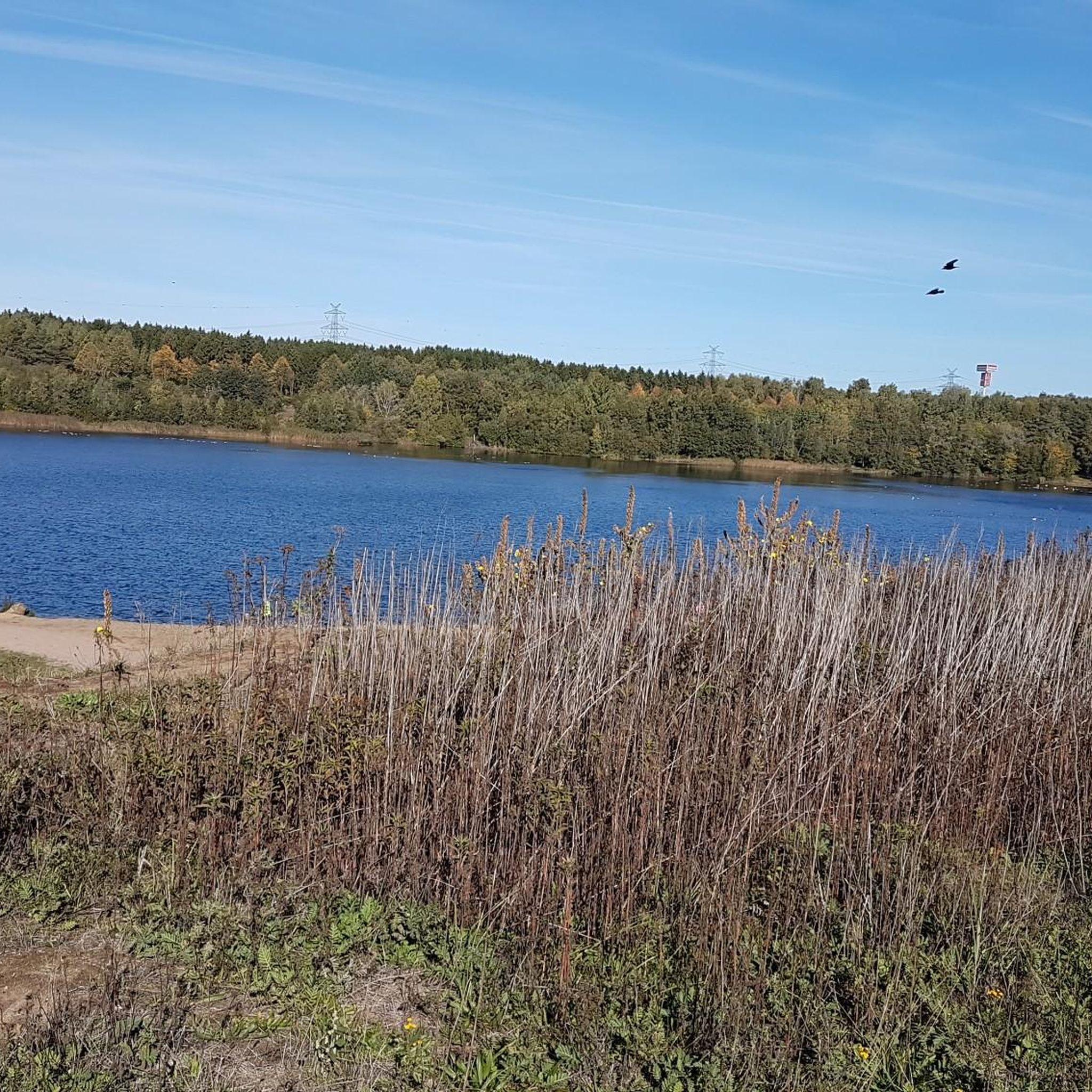
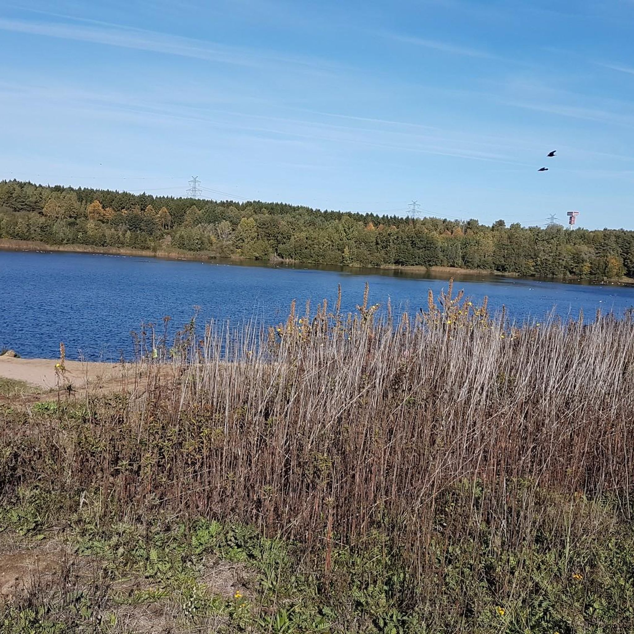
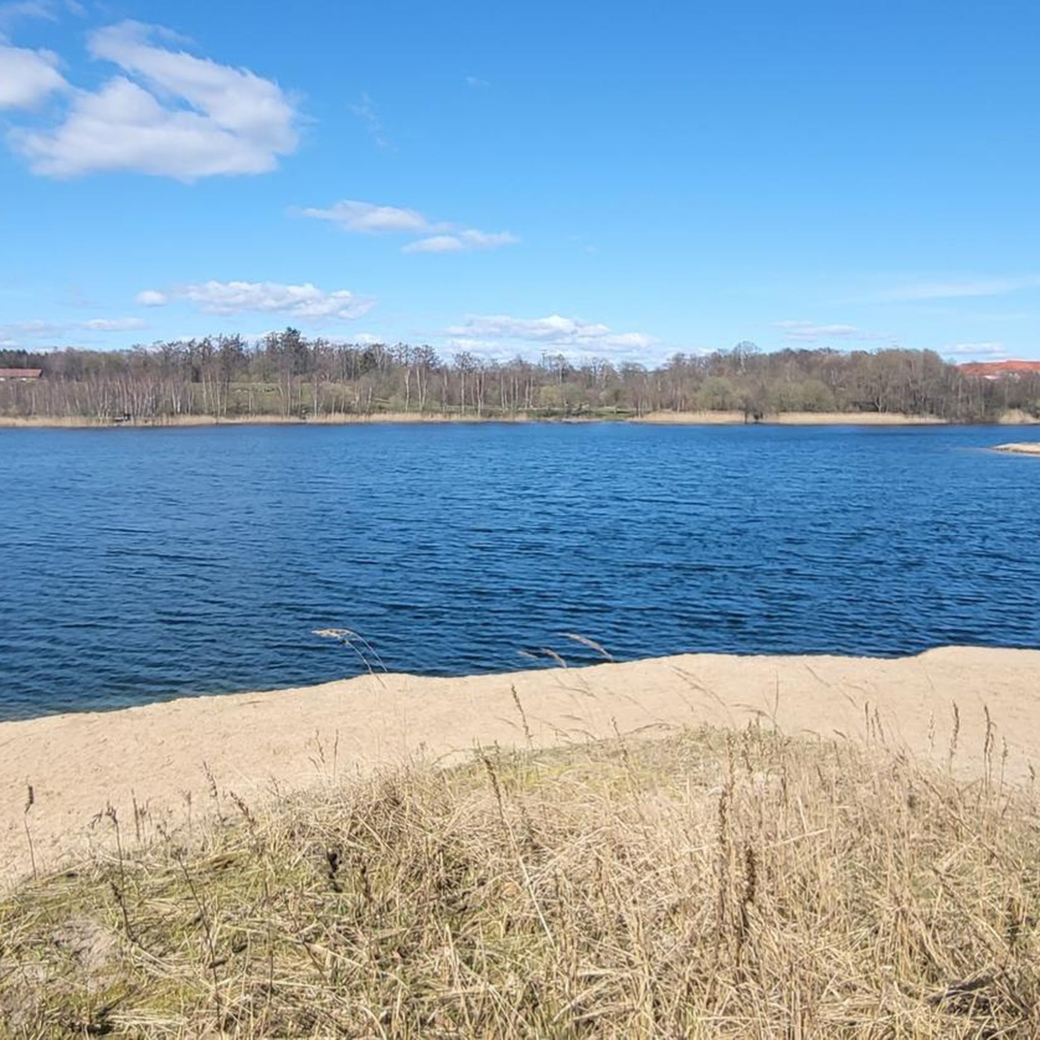
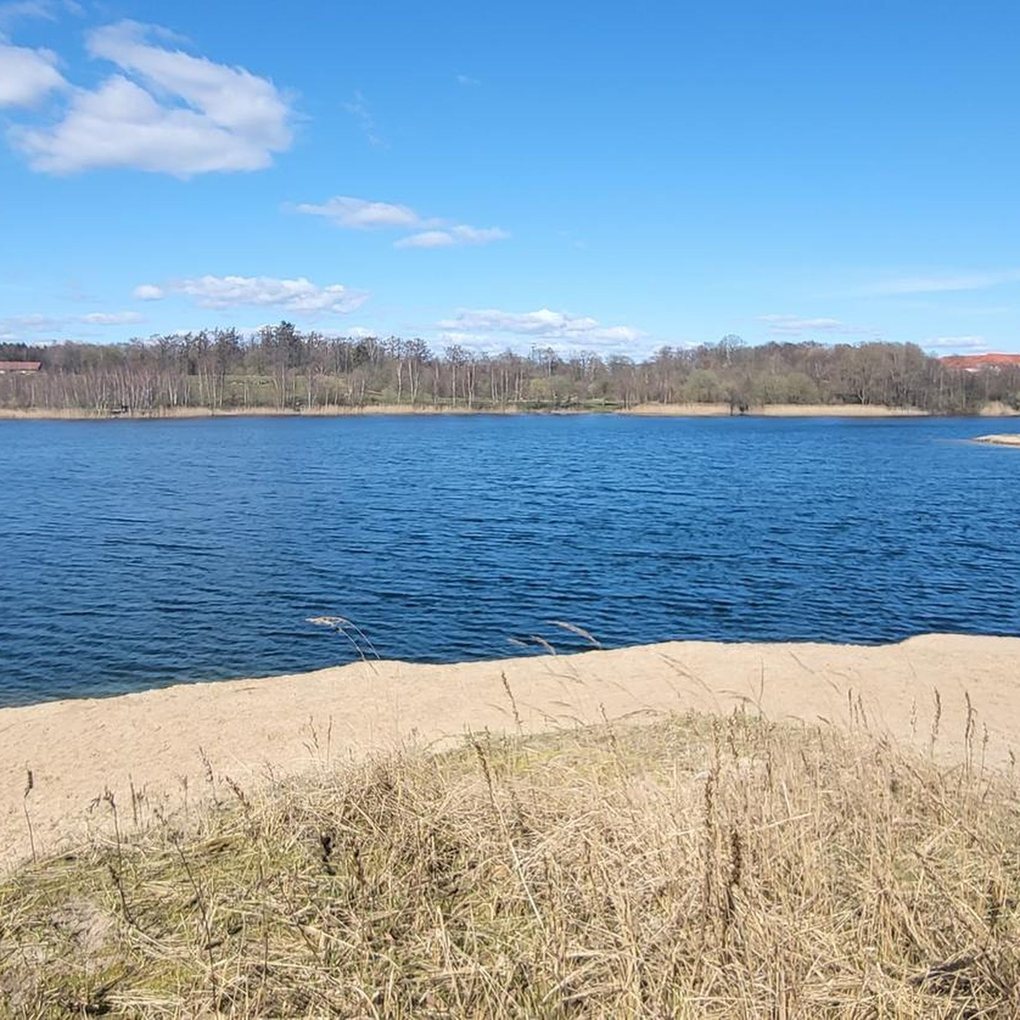
Touring cycling around Kaltenkirchen offers a blend of rural charm and natural beauty in northern Germany. The region features a diverse network of cycling routes, characterized by heath landscapes, tranquil forests, and gentle river valleys. Most routes provide well-paved surfaces, making them suitable for touring cyclists. The area's terrain is generally flat to gently undulating, with no significant hills.
Best touring cycling routes around Kaltenkirchen
- The most popular touring cycling route is Henstedter Moor Trail – Source of the Pinnau…
Last updated: October 10, 2026
4.7
(47)
121
riders
34.6km
02:07
110m
110m
Moderate bike ride. Good fitness required. Mostly paved surfaces. Suitable for all skill levels.
4.0
(28)
72
riders
Easy bike ride. Great for any fitness level. Mostly paved surfaces. Suitable for all skill levels.

4.5
(20)
105
riders
26.4km
01:38
80m
80m
Easy bike ride. Great for any fitness level. Mostly paved surfaces. Suitable for all skill levels.
4.3
(16)
95
riders
Easy bike ride. Great for any fitness level. Mostly paved surfaces. Suitable for all skill levels.
4.6
(18)
48
riders
30.5km
01:58
180m
180m
Hard bike ride. Good fitness required. You may need to push your bike for some segments of this route.
Get access to more routes and recommendations from other explorers.
Already have an account?
Our route recommendations are based on thousands of hikes, rides, and runs completed by other people on komoot.
Start today with a free account
Your next adventure awaits.

Tips from the Community

a very idyllic tour at 6 a.m.
0
0

Beautiful windmill with active country trade
0
0

3. Bathing area in the Krückau
0
0
A new trail through the woods. The trail is still very uneven in places.
0
0

The Boundary Stones of the Pinneberg Lordship A list of the Danish boundary stones of the former Pinneberg Lordship that were still in existence in 2013. This boundary stone list presents the sovereign boundaries of the former Pinneberg Lordship with their still-existing boundary stones. However, this study does not specifically address individual border lines and negotiations from past centuries, as this was not the purpose of this work from the outset. Disputed border lines between neighboring lands led to constant border settlements over the centuries. To resolve these "confusions and misunderstandings," the opposing parties met on-site from time to time to review their property rights and, if necessary, to redefine them. This was done by setting or re-erecting boundary posts, which were replaced with massive and heavy boundary stones in the 18th and 19th centuries. Occasionally, the oak boundary posts were moved by "fraudulent hands," although so-called "witnesses" made of broken glass, charcoal, and other historical relics were buried under the posts (and later also under the boundary stones) to secure the location. On the southeastern side of the former Pinneberg domain, a border line with 33 boundary stones began to demarcate Langenfelde (Pinneberg domain) from Hamburg-Eimsbüttel, securing the border as far as Ulzburg-Süd. Of these stones, 25 boundary stones stood on the Hamburg side, but in Pinneberg territory, of which 8 boundary stones have been preserved in their original condition from the 18th and 19th centuries. If we follow the border line in today's Norderstedt area, Ulzburger Straße formed a border road at that time, and 5 boundary stones are also still there today. I was also able to find 13 additional stones along the border from Norderstedt (Ulzburg-Süd) via Quickborn Heide, Bilsen (until 1803 part of Hamburg), Quickborn-Himmelmoor, Esingermoor and Liethermoor (Seeth-Eckholt) to Elmshorn, as historical witnesses. Boundary stone No. 10 in Elmshorn, in front of the Konrad Struve Museum, was removed from its old border location (see list) around 1970 and secured in front of the museum. From Elmshorn, the Krückau River forms a natural border between the County of Rantzau and the Lordship of Pinneberg. In the area west of Seester, not far from the Krückau River, the western border line of the Lordship of Pinneberg ran to the Pinnau River and, in front of Heist and Holm, continued to the Wedel Summer Dike and the Elbe River. In the section from the Pinnau River to the Elbe, 8 boundary stones from a series of 14 stones, some dating back to 1827, are still preserved. One of them stands directly on a dike, and others on the outer dike. A special feature, however, was the former village of Hummelsbüttel, which was an exclave of the lordship on the eastern border line. The village belonged to the lordship of Pinneberg, and its boundaries, like the rest of the lordship, were marked with a total of 12 main boundary stones. Of these main boundary stones, 10 are still preserved in Hummelsbüttel today, complemented by 20 very beautiful intermediate boundary stones from the 19th century. It is hard to believe that 44 original main boundary stones are still in existence today, some of which have already been listed as historical monuments.
0
0

Eating ice cream in Bad Bramstedt
1
0
Frequently Asked Questions
How many touring cycling routes are available around Kaltenkirchen?
Kaltenkirchen offers a wide variety of touring cycling routes, with over 210 options available. These routes cater to different skill levels, from easy loops to more challenging rides, allowing you to explore the diverse landscapes of the region.
What kind of terrain can I expect on touring cycling routes in Kaltenkirchen?
The terrain around Kaltenkirchen is generally flat to gently undulating, making it ideal for touring cyclists. You'll encounter picturesque heath landscapes, tranquil forests, and serene river valleys. Most routes feature well-paved surfaces, ensuring a comfortable ride.
Are there any long-distance touring cycling routes accessible from Kaltenkirchen?
Yes, Kaltenkirchen is connected to broader cycling networks in Schleswig-Holstein. You can access historic long-distance paths such as the "Ox Trail" (Ochsenweg) and the Old Salt Route (Alte Salzstraße), which allow for extensive exploration of the idyllic countryside without significant hills. For more information on long-distance routes in Schleswig-Holstein, you can visit sh-tourismus.de.
Are there routes suitable for beginners or families with children?
Absolutely. Kaltenkirchen offers many easy touring cycling routes perfect for beginners or families. For instance, the View of Pinnau Biotope – Pinnau Source Area loop from Kaltenkirchen is an easy 22 km path that explores scenic areas. Overall, there are 119 easy routes to choose from, ensuring a pleasant experience for all.
Can I find circular touring cycling routes in the area?
Yes, many touring cycling routes around Kaltenkirchen are designed as loops, allowing you to start and end your journey in the same location. Examples include the popular Henstedter Moor Trail – Source of the Pinnau loop from Kaltenkirchen and the Scenic Forest Path – Shelter on the Ochsenweg loop from Kaltenkirchen.
What natural attractions can I explore while touring cycling near Kaltenkirchen?
The region is rich in natural beauty. You can cycle through the stunning heath landscapes and tranquil forests of the Kaltenkirchener Heide Nature Reserve. Another notable area is the Himmelmoor Nature Reserve, Schleswig-Holstein's largest raised bog, which features a nearly four-kilometer nature trail with a boardwalk, offering unique views of the moor lake and its distinct flora and fauna. You can also visit the Boardwalk Through Himmelmoor for an immersive experience.
Are there any historical or cultural landmarks to see along the routes?
Yes, beyond the natural landscapes, you can discover charming spots like Barmstedt Castle Island, which features art installations and a café. The region also hosts traditional weekly markets known for regional products, offering a glimpse into local culture.
How can I access touring cycling routes in Kaltenkirchen using public transport?
Kaltenkirchen is well-connected, and some routes, like "Entlang der AKN nach Kaltenkirchen," are designed to integrate with the local AKN train line, making it possible to combine cycling with public transport. It's advisable to check specific route details and local transport regulations regarding bicycle carriage.
What do other touring cyclists enjoy the most about touring cycling in Kaltenkirchen?
The touring cycling routes around Kaltenkirchen are highly rated by the komoot community, with an average score of 4.6 stars from over 600 reviews. Cyclists often praise the region's diverse landscapes, including heathlands and forests, as well as the well-maintained paths and the peaceful atmosphere. Many appreciate the variety of routes suitable for all abilities.
Are there any routes that pass through specific wooded areas or offer forest experiences?
Yes, many routes traverse beautiful wooded areas. For example, the Heeder Tannen Woods – Wild Krückau loop from Kaltenkirchen Süd takes you through the scenic Heeder Tannen Woods, offering a refreshing forest experience. The region's overall character includes many tranquil forests perfect for cycling.
Are there any shelters or rest areas along the touring cycling paths?
Yes, you can find various shelters and rest areas along the routes. For instance, the Shelter on the Ochsenweg is a notable spot. There are also facilities like the Rest area at the Himmelmoor Moor Educational Trail, providing convenient places to pause and enjoy the surroundings.
Most popular routes around Kaltenkirchen
Most popular attractions around Kaltenkirchen

Get inspired with the komoot mobile app


Explore more
Browse the best Cycling routes in other regions.
