The best gravel rides around Glenburn
4.2
(21)
188
riders
5
rides
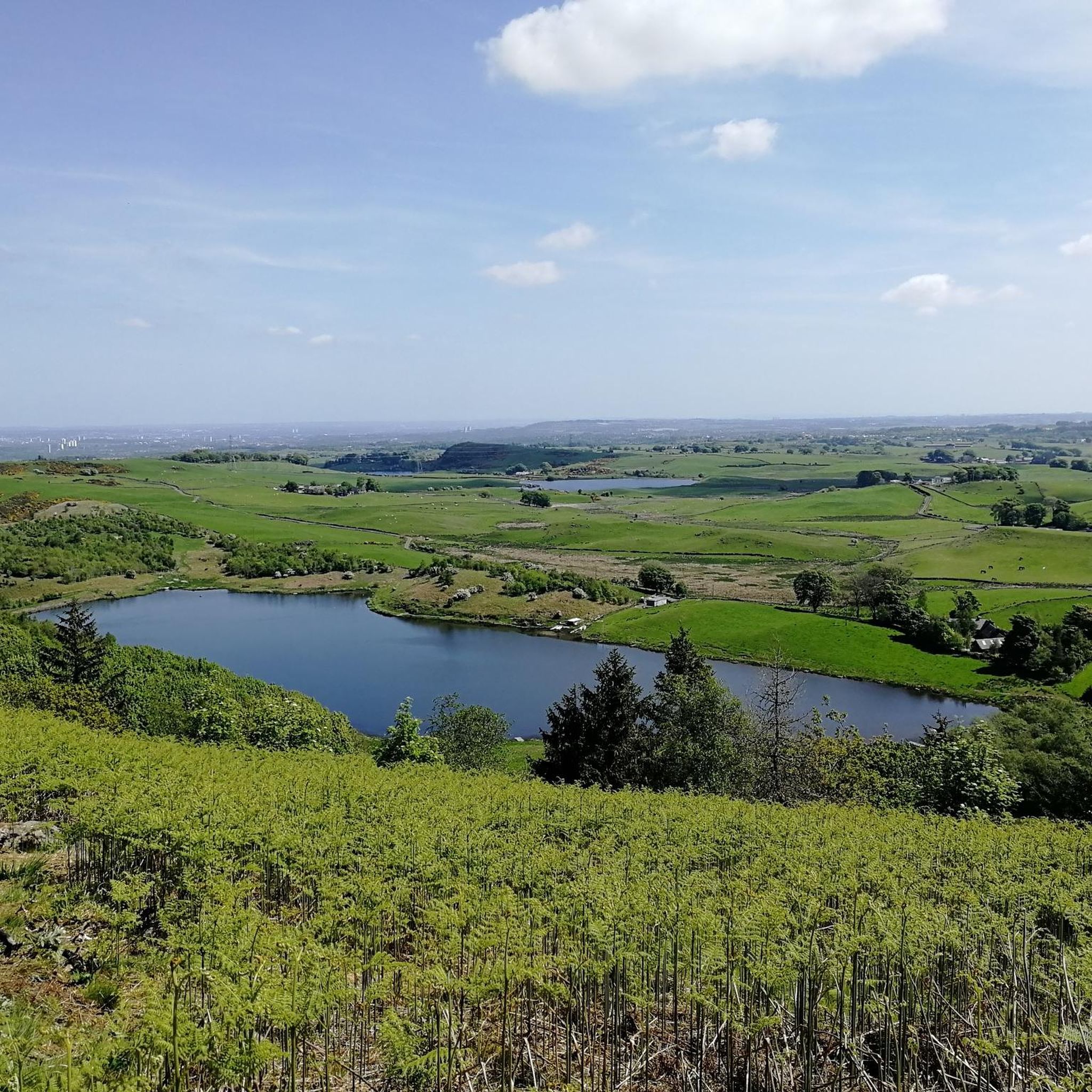
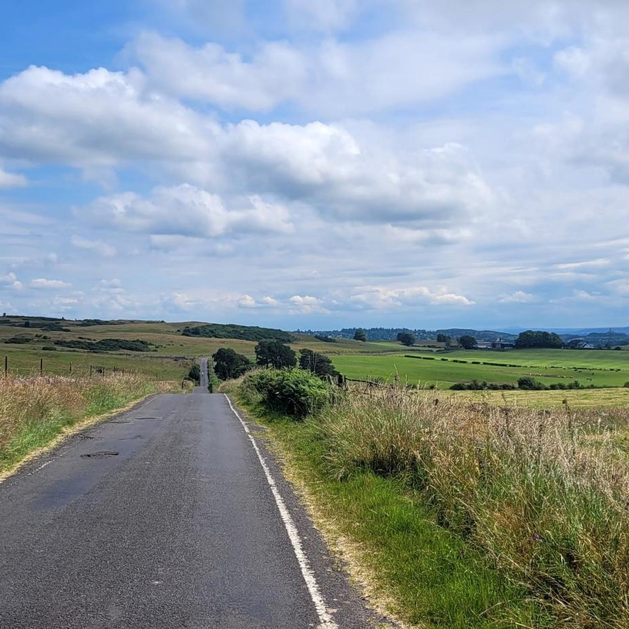
Gravel bike trails around Glenburn offer a diverse cycling experience through tranquil rural landscapes and varied natural features. The region is characterized by quiet countryside, agricultural areas, and extensive forested sections. Key natural features include Pushaw Lake, a significant body of water, and numerous trails winding through wooded areas. These elements combine to provide a range of gravel biking opportunities away from busier roads.
Best gravel bike trails around Glenburn
- The most popular gravel bike trail is Whitelee Wind Farm…
Last updated: October 20, 2026
3.8
(4)
52
riders
46.6km
02:55
490m
490m
Hard gravel ride. Very good fitness required. Mostly paved surfaces. Suitable for all skill levels.
4.5
(13)
83
riders
56.7km
03:11
560m
560m
Hard gravel ride. Very good fitness required. Mostly paved surfaces. Suitable for all skill levels.

26
riders
103km
07:15
1,260m
1,260m
Hard gravel ride. Very good fitness required. Mostly paved surfaces. Suitable for all skill levels.
4.5
(2)
12
riders
Hard gravel ride. Very good fitness required. Mostly paved surfaces. Suitable for all skill levels.
4.0
(2)
5
riders
56.4km
03:38
720m
720m
Hard gravel ride. Very good fitness required. Mostly paved surfaces. Suitable for all skill levels.
Our route recommendations are based on thousands of hikes, rides, and runs completed by other people on komoot.
Start today with a free account
Your next adventure awaits.

Tips from the Community

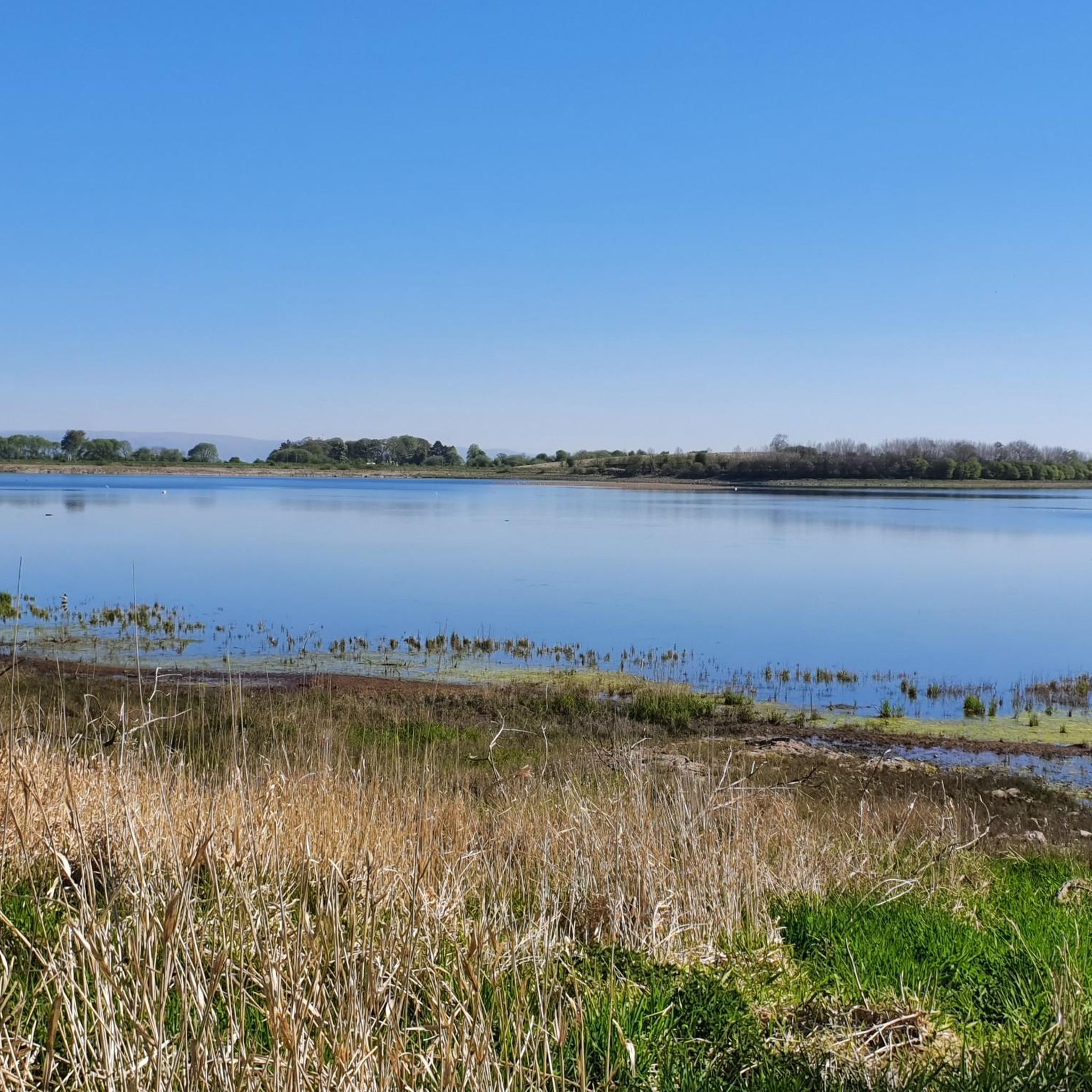
Craigallian Loch lies idyllically between green hills at the start of the West Highland Way. The small lake is surrounded by moorland and pasture landscape and already offers a taste of the Scottish scenery.
5
0

Nice challenging cycling through forest and between lakes
0
0

Beautiful smooth gravel surface. Steep in sections. Really enjoyed a s a descent!
0
0

Bridge over the Clyde for pedestrians and two-wheelers
1
0


Bell's Bridge is, for me, the most beautiful and interesting pedestrian and bicycle bridge... simply an architectural masterpiece... unfortunately, we didn't see the bridge being swung open to allow boat passage.
0
0
One of the most interesting bridges I've ever seen—in my opinion, an architectural masterpiece, magnificent..👍👍
1
0
Cycling along a canal has always been our thing... The old towpaths are being integrated into the cycle paths, which for us cyclists means always cycling along the water.
0
0
Frequently Asked Questions
What kind of terrain can I expect on gravel bike trails around Glenburn?
Glenburn's gravel bike trails offer a diverse experience, winding through tranquil rural landscapes, quiet residential areas, and peaceful rural countryside. You'll encounter stretches of dirt and gravel roads, as well as extensive forested areas with established trails. Some routes also feature smooth tarmac sections, like those passing serene lakes amidst agricultural scenery.
Are there any challenging gravel bike routes in Glenburn?
Yes, Glenburn offers several challenging gravel routes. For instance, the Whitelee Wind Farm – Scenic Rural Road loop from Crossmyloof is a difficult 35.2-mile (56.7 km) trail with over 550 meters of elevation gain. Another demanding option is the Craigallian Loch – Trails at Mugdock Country Park loop from Garscadden, which is 28.2 miles (45.4 km) long and explores varied terrain within Mugdock Country Park.
What natural features or landmarks can I see while gravel biking in Glenburn?
The region is rich in natural beauty. You can explore significant bodies of water like Pushaw Lake, which is over seven miles long, or encounter charming rural countryside with agricultural buildings. Some routes may lead you past highlights such as Darnley Reservoir Pavilion or Castle Semple Loch. For those interested in waterfalls, the Craigie Linn Waterfall is a notable natural monument nearby.
Are there any circular gravel bike routes available in Glenburn?
Many of the gravel bike routes in Glenburn are designed as loops, offering a convenient way to start and end your ride in the same location. Examples include the Whitelee Wind Farm – Scenic Rural Road loop from Crossmyloof and the Flooded Ford Crossing – Eaglesham Ford loop from Clarkston, which takes you through rural landscapes.
What is the best time of year to go gravel biking in Glenburn?
Glenburn's tranquil rural landscapes are enjoyable across multiple seasons. The extensive forested areas and quiet roads make it appealing for spring and autumn rides when foliage is vibrant. Summer offers longer daylight hours, while winter, with its connection to snowmobile trails, might appeal to those seeking a different kind of adventure, though conditions would require specific gear.
Are there any family-friendly gravel biking options in Glenburn?
While many routes offer varied terrain, the region's quiet rural roads and less trafficked paths can be suitable for families. Look for routes described as easier or those that stick to smoother sections, such as the tarmac alternative on West Abington Road mentioned in the regional research, which passes a serene lake. Always check the route details for specific difficulty ratings and elevation profiles to ensure it matches your family's ability.
Can I bring my dog on the gravel bike trails in Glenburn?
Glenburn's natural environment, with its extensive forested areas and rural countryside, is generally welcoming for dogs. However, specific rules regarding dogs can vary depending on the exact trail or land ownership. It's always best to keep your dog on a leash, especially near wildlife or agricultural areas, and to check for any local signage or regulations before you go.
How do other gravel bikers rate the trails in Glenburn?
The gravel biking routes around Glenburn are highly regarded by the komoot community, holding an average rating of 4.2 stars from over 15 reviews. More than 220 gravel bikers have used komoot to explore the varied terrain, often praising the quiet rural roads and diverse natural features.
Are there any specific roads known for good gravel biking in Glenburn?
Yes, several roads are highlighted as excellent for gravel biking. 'Creek Hollow Drive' and 'Lithia Valley Road' are noted for their stretches of dirt and gravel, winding through quiet residential and rural areas. 'West Abington Road' also offers a smooth tarmac alternative for cyclists, providing a different experience through agricultural scenery.
What is the longest gravel bike route available in Glenburn?
The longest gravel bike route listed is the Gravel Path Through Wind Farm – Millhall Bridge loop from Pollokshaws East, covering a distance of 66.1 kilometers (41.1 miles). This route features over 620 meters of elevation gain and is considered difficult.
Are there any waterfalls or significant viewpoints along the gravel routes?
While cycling, you might encounter various scenic spots. The Craigie Linn Waterfall is a notable natural monument in the vicinity. Additionally, you could come across viewpoints like Corsehouse Reservoir, offering picturesque vistas of the surrounding landscapes.
Most popular attractions around Glenburn

Get inspired with the komoot mobile app


Explore more
Browse the best Gravel rides in other regions.
