The best road cycling routes around Glenburn
4.4
(400)
13,914
riders
390
rides
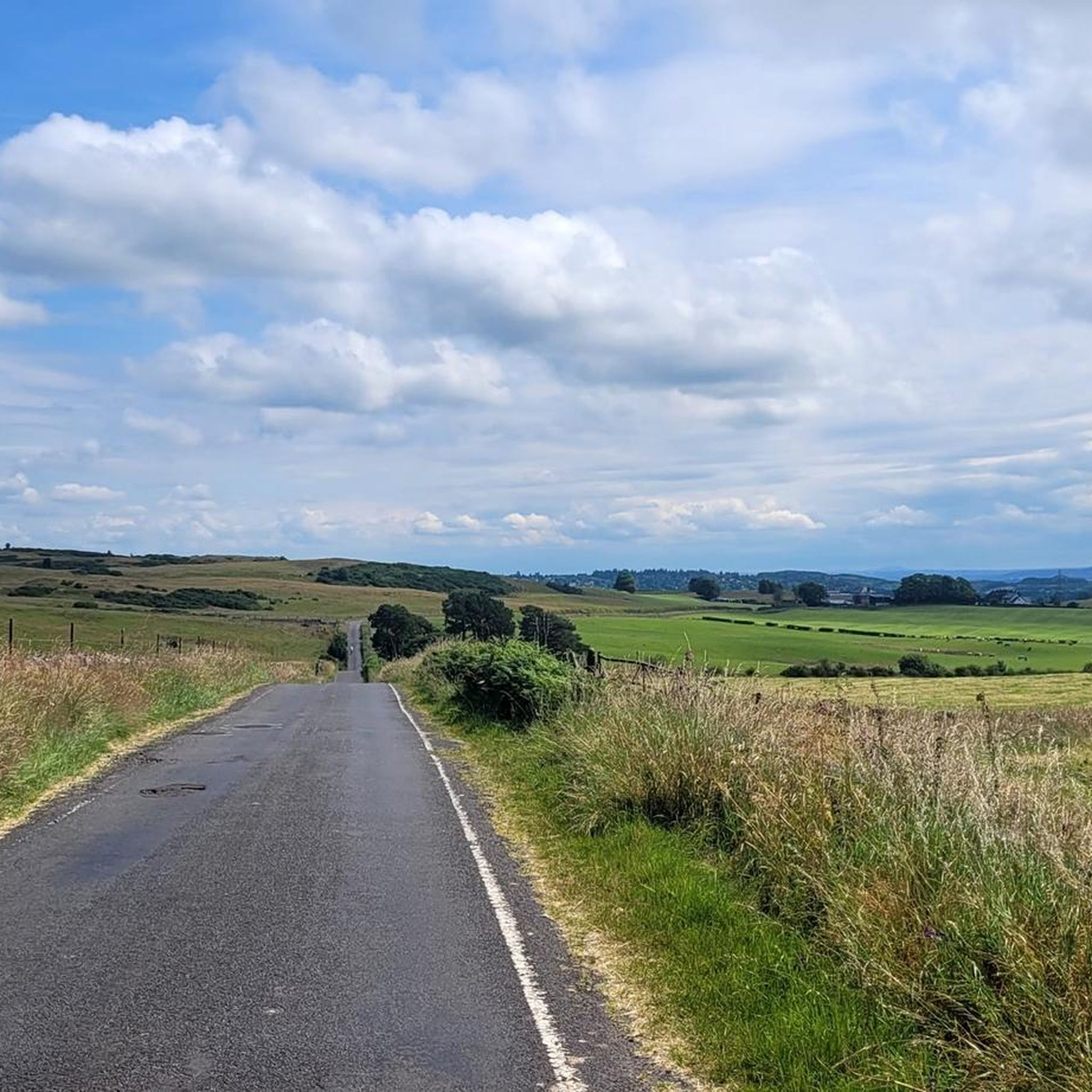
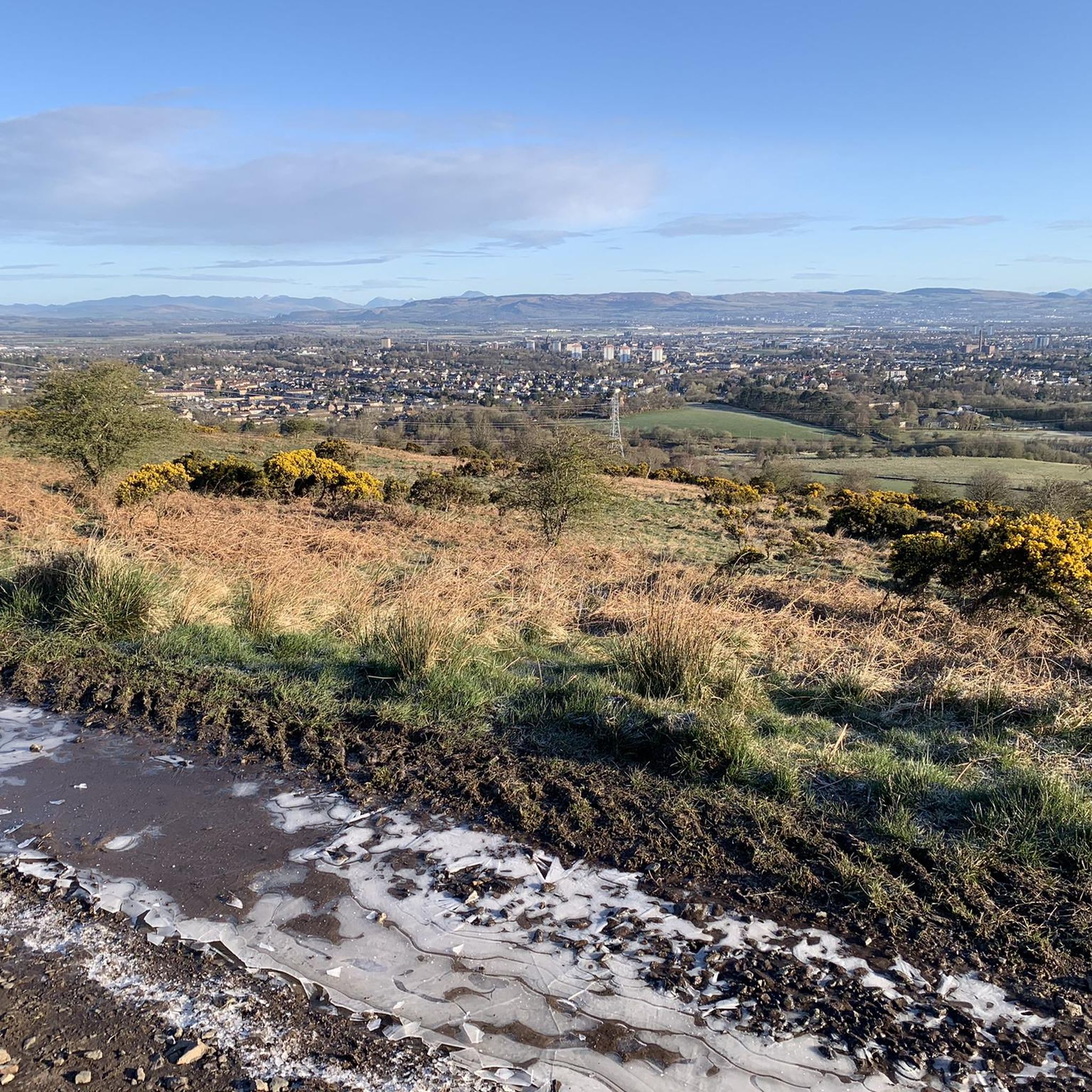
Road cycling routes around Glenburn are situated in a region characterized by rolling hills, lochs, and coastal stretches, offering varied terrain for cyclists. The area features a mix of quiet country roads, some with moderate climbs, and flatter sections along waterways. Elevation gains are present, particularly on routes extending into the Clyde Murshiel Regional Park, providing opportunities for challenging ascents. The landscape includes open moorland, forested areas, and views of the Firth of Clyde.
Best road cycling routes around Glenburn
…Last updated: October 14, 2026
3.0
(1)
18
riders
60.1km
03:10
580m
580m
Moderate road ride. Good fitness required. Some segments of this route may be unpaved and difficult to ride.
4.0
(1)
10
riders
32.2km
01:26
180m
180m
Easy road ride. Great for any fitness level. Mostly well-paved surfaces and easy to ride.

5.0
(5)
148
riders
87.5km
03:59
900m
900m
Moderate road ride. Good fitness required. Mostly well-paved surfaces and easy to ride.
4.3
(3)
93
riders
58.3km
02:26
370m
370m
Moderate road ride. Good fitness required. Mostly well-paved surfaces and easy to ride.
4.0
(1)
74
riders
97.4km
04:06
610m
610m
Moderate road ride. Good fitness required. Mostly well-paved surfaces and easy to ride.
Get access to more routes and recommendations from other explorers.
Already have an account?
Our route recommendations are based on thousands of hikes, rides, and runs completed by other people on komoot.
Start today with a free account
Your next adventure awaits.

Tips from the Community

A ferry departs every 20-30 minutes. https://www.western-ferries.co.uk/ On some days, queues can form on the road. However, pedestrians can usually always get on board. Tickets can be purchased online in advance.
0
0
Beautiful for strolling along the promenade. Pedestrians and cyclists are often separated by a dividing line, but still keep your eyes open. Many benches invite you to linger and dream.
0
0


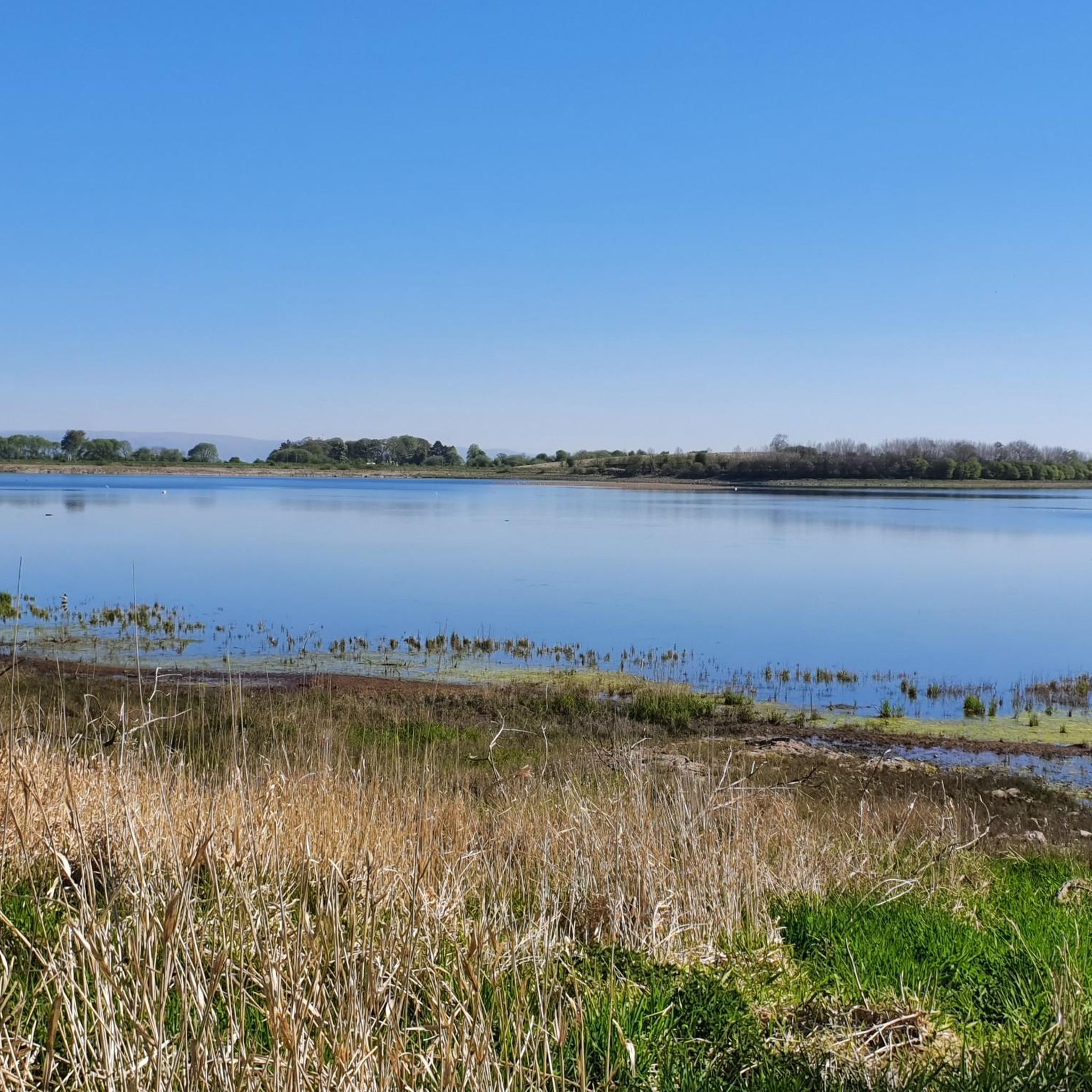
Castle Semple Loch Visitor Centre is situated in the heart of Clyde Muirshiel Regional Park in Scotland. The centre offers a range of facilities including a café, exhibitions, and information on local wildlife and activities.
1
0

Beautiful views on a nice day and smooth flat cycle paths, watch out for dog walkers who ignore the lanes though!
0
0

Ferry crossing to Hunters Quay Dunoon with Western Ferries.
0
1
The original purpose of the temple was simply a landscape feature or ‘folly’, designed to be seen from the mansion house and by visitors arriving at Castle Semple. It also served as a summer house with panoramic views. The design of the building probably comes from James Gibbs ‘Book of Architecture’, published in 1728, a sort of architect’s scrapbook of ideas. Gibbs described his designs as ‘summer houses in the form of temples of an octagonal form. The Follie originally had a roof and glazed windows but these were damaged in a fire. It also had trees planted beside it.
0
0
Frequently Asked Questions
How many road cycling routes are available around Glenburn?
There are over 420 road cycling routes around Glenburn, offering a wide variety of options for different skill levels and preferences.
What kind of terrain can I expect on road cycling routes near Glenburn?
The Glenburn area, situated near the Firth of Clyde and Clyde Murshiel Regional Park, features diverse terrain. You'll find a mix of quiet country roads, rolling hills, and flatter sections along waterways. Routes often include moderate climbs, especially those extending into the Regional Park, as well as open moorland, forested areas, and coastal stretches.
Are there road cycling routes suitable for beginners in Glenburn?
Yes, Glenburn offers many routes suitable for beginners. Approximately 170 routes are classified as easy, providing a gentler experience. An example of an easier route is the Paisley to Erskine loop, which offers a flatter profile often following riverbanks.
What are the most challenging road cycling routes in the Glenburn area?
For those seeking a challenge, there are over 30 difficult road cycling routes around Glenburn. These routes typically feature significant elevation gains and longer distances. The Largs Seafront – Brisbane Glen Road loop from Paisley Canal, for instance, covers 54.3 miles with nearly 900 meters of elevation gain, making it a demanding ride.
What can I see along the road cycling routes in Glenburn?
Many routes pass by interesting landmarks and natural features. You might encounter historical sites like Castle Semple Collegiate Church, or enjoy the tranquility of Darnley Reservoir Pavilion. For natural beauty, consider routes that offer views of Craigie Linn Waterfall or Linn Park Waterfall.
Are there any circular road cycling routes around Glenburn?
Yes, many of the road cycling routes around Glenburn are circular, allowing you to start and end at the same point. The Gryffe Reservoirs loop from Paisley – Clyde Murshiel Regional Park is a popular moderate circular route, offering varied landscapes over 37.4 miles.
What do other road cyclists enjoy the most about road cycling in Glenburn?
The road cycling routes in Glenburn are highly rated by the komoot community, with an average score of 4.5 stars from over 300 reviews. Cyclists often praise the varied terrain, from coastal paths to rolling hills, and the opportunities for both challenging ascents and flatter, scenic rides. The region's natural beauty, including lochs and views of the Firth of Clyde, is also frequently highlighted.
Are there any less crowded road cycling routes in Glenburn?
While some popular routes can see more traffic, many of Glenburn's country roads offer a quieter cycling experience. Exploring some of the less-trafficked routes, particularly those away from major towns or tourist hotspots, can provide a more serene ride. The Castle Semple Loch – Temple Folly loop from Paisley Canal is a moderate option that takes you through scenic areas, potentially offering a more tranquil journey.
What is the best time of year for road cycling in Glenburn?
The best time for road cycling in Glenburn is generally from spring through autumn (April to October). During these months, the weather is typically milder, with longer daylight hours. Summer offers the warmest temperatures, while spring and autumn provide beautiful scenery with fewer crowds. Be prepared for changeable weather, as is common in Scotland, and always check local forecasts.
Are there cafes or pubs along the road cycling routes in Glenburn?
Yes, many road cycling routes in Glenburn pass through or near towns and villages where you can find cafes, pubs, and other amenities. Routes that venture towards coastal areas like Largs or through larger towns such as Paisley will offer more options for refreshments and breaks. Planning your route with komoot allows you to identify points of interest and potential stops along the way.
Is public transport available to access road cycling routes in Glenburn?
Yes, public transport options, particularly trains and buses, can help you access various starting points for road cycling routes around Glenburn. Paisley, a key hub in the region, has good train connections, and many routes start from or pass through it. You can often take your bike on trains during off-peak hours, but it's advisable to check the specific operator's policy and any restrictions beforehand.
Where can I find parking for road cycling routes in Glenburn?
Parking is generally available at various starting points for road cycling routes around Glenburn. Larger towns like Paisley offer public car parks, and many routes that begin in more rural areas may have designated parking spots or roadside parking. When planning your ride, check the route details on komoot for suggested starting points and parking information.
Are there any long-distance road cycling routes from Glenburn?
Yes, Glenburn serves as a great base for longer road cycling adventures. Routes like the Lunderston Bay – Largs Seafront loop from Paisley Canal, at over 60 miles, offer a substantial ride, combining coastal views with inland exploration. These longer routes often feature significant elevation changes and can take several hours to complete.
Most popular attractions around Glenburn

Get inspired with the komoot mobile app


Explore more
Browse the best Road cycling routes in other regions.
