Shared Cadder/Milton/Lambhill/Maryhill/Summerston
Shared Cadder/Milton/Lambhill/Maryhill/Summerston
The best gravel rides around Shared Cadder/Milton/Lambhill/Maryhill/Summerston
4.1
(39)
535
riders
40
rides
Gravel biking around Shared Cadder/Milton/Lambhill/Maryhill/Summerston offers a diverse landscape for riders, characterized by its waterways, urban green spaces, and varied terrain. The region features the Forth and Clyde Canal and the River Kelvin, providing extensive towpaths and river paths. Riders can expect a mix of surfaces, including sections through woodlands, open areas, and rolling hills. This network provides access to the wider countryside north of Glasgow, with routes suitable for different skill levels.
Best gravel bike trails around Shared Cadder/Milton/Lambhill/Maryhill/Summerston
…Last updated: July 3, 2026
4.5
(2)
46
riders
60.4km
03:56
710m
710m
Hard gravel ride. Very good fitness required. Mostly paved surfaces. Suitable for all skill levels.
4.3
(3)
53
riders
26.9km
01:48
350m
350m
Moderate gravel ride. Good fitness required. Mostly paved surfaces. Suitable for all skill levels.

Sign up for free
4.4
(7)
49
riders
Hard gravel ride. Very good fitness required. Mostly paved surfaces. Suitable for all skill levels.
4.5
(2)
18
riders
63.0km
04:20
790m
790m
Hard gravel ride. Very good fitness required. Mostly paved surfaces. Suitable for all skill levels.
70
riders
49.5km
03:16
570m
570m
Hard gravel ride. Very good fitness required. You may need to push your bike for some segments of this route.
Get access to more routes and recommendations from other explorers.
Sign up for free
Already have an account?
Our route recommendations are based on thousands of hikes, rides, and runs completed by other people on komoot.
Start today with a free account
Your next adventure awaits.
Login or Signup
Popular around Shared Cadder/Milton/Lambhill/Maryhill/Summerston
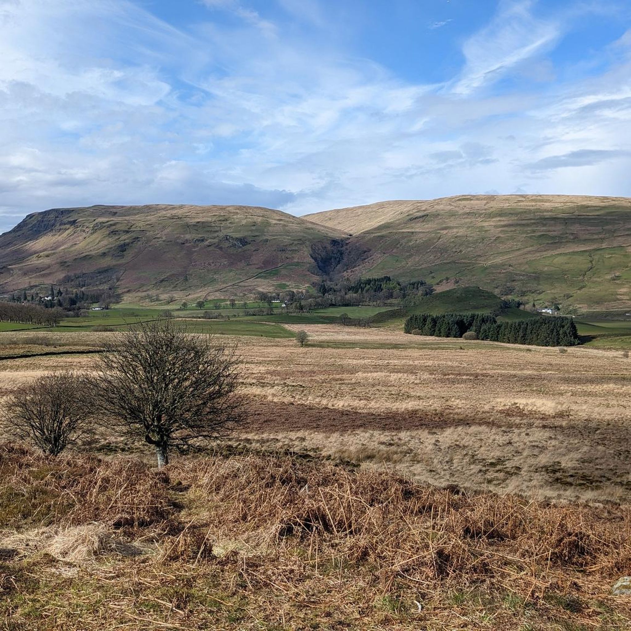
Road Cycling Routes around Shared Cadder/Milton/Lambhill/Maryhill/Summerston
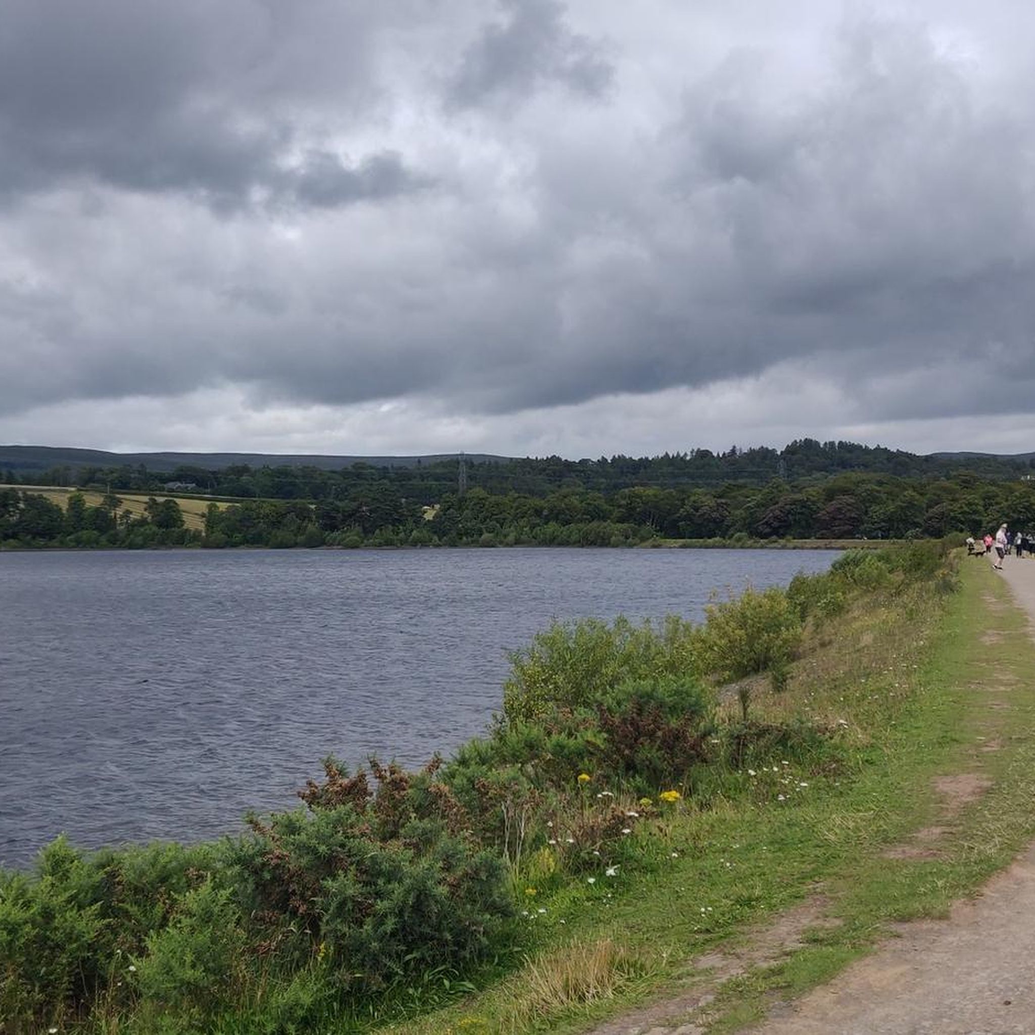
Hiking around Shared Cadder/Milton/Lambhill/Maryhill/Summerston
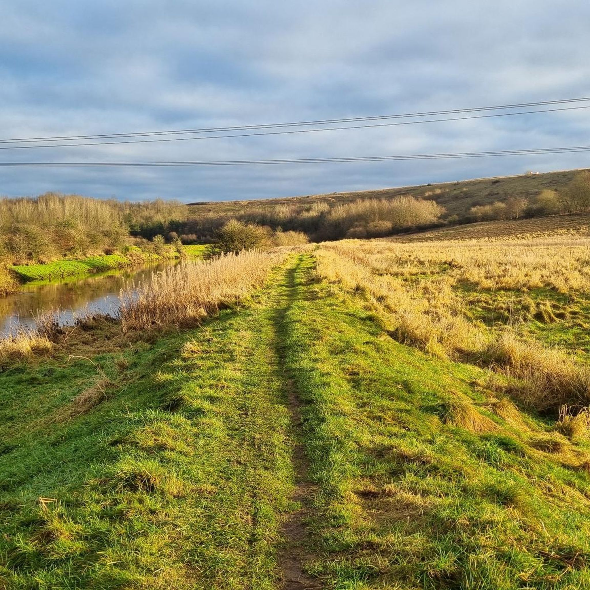
MTB Trails around Shared Cadder/Milton/Lambhill/Maryhill/Summerston
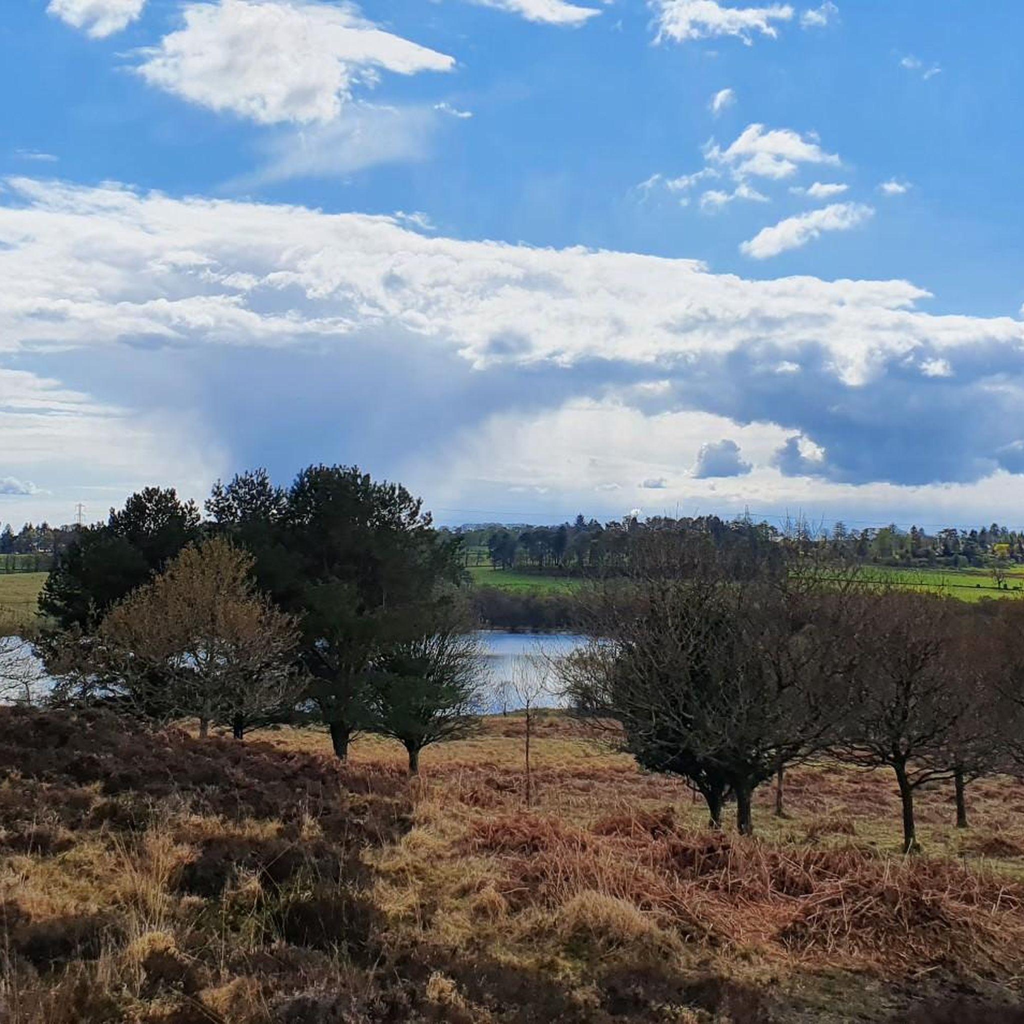
Running Trails around Shared Cadder/Milton/Lambhill/Maryhill/Summerston
Cycling around Shared Cadder/Milton/Lambhill/Maryhill/Summerston
Tips from the Community

Above all, the path through Mugdock-Forest is worth it.
0
0


One of the most interesting bridges I've ever seen—in my opinion, an architectural masterpiece, magnificent..👍👍
1
0
Cycling along a canal has always been our thing... The old towpaths are being integrated into the cycle paths, which for us cyclists means always cycling along the water.
0
0

The ruined remains of Lennox Castle. Originally built in ~1840 as a private property it was sold to The Glasgow Corporation (predecessor to the City Council) in 1927 and turned into a hospital for those with learning difficulties. In the 1940's-60's it also operated as a maternity home, and was the birth place of singer Lulu. It closed in 2002 and unfortunately was subject to a fire in 2008 which left it in its current state.
1
0
A gravel track that follows the trail of the Katrine Aqueducts that brings Glasgow's drinking water all the way from the Trossachs to Milngavie. Look out for exposed sections of the aqueducts as you travel along, one section in particular has a date marker of 1892 visible from the track. Stunning views over the Kilpatrick Hills and you can always drop down to Glengoyne distillery for a wee dram on the way past!
1
0
The original Castle on this site was built in the 13th century by the Graham family. The Grahams were a family on the rise and the family were made the Earls of Montrose in 1505. The most famous Graham resident of Mugdock Castle was James Graham (1612-1650) known as The Great Montrose. He was a poet and soldier who fought for the cause of King Charles I during the Wars of The Three Kingdoms (more commonly referred to as The English Civil Wars) and was marked as one of the greatest soldiers of the time. So great was his military fame that King Louis XIV offered him the role as Marshal of France. His success ultimately ran out in 1650 with the loss of The Battle of Carbisdale in Rosshire. Montrose was betrayed by a fellow Scotsman and was ultimately Hung, Drawn and Quartered for his part in the war. His campaigns were immortalised by Sir Walter Scott in his 1819 novel A Legend of Montrose.
0
0

Frequently Asked Questions
How many gravel bike trails are available in the Shared Cadder/Milton/Lambhill/Maryhill/Summerston area?
The region offers a wide selection of gravel biking routes, with over 45 trails to explore. These range from moderate to more challenging options, ensuring there's something for every skill level.
Are there any easy gravel biking routes suitable for beginners or families?
Yes, there are several routes suitable for beginners. While the guide highlights more moderate to difficult options, komoot lists 3 easy tours in the area. These typically feature less elevation and smoother surfaces, perfect for a relaxed ride. For a family-friendly option, consider routes that stick to canal paths or designated cycleways, which are generally flatter and safer.
What kind of terrain can I expect on gravel bike trails in this region?
You can expect a diverse mix of terrain. The routes often follow river paths, such as those along the River Kelvin, and lead to lochs like Craigallian Loch. You'll encounter sections through woodlands and open areas, with varied surfaces suitable for gravel bikes, including rolling hills.
Are there any circular gravel bike routes in the Shared Cadder/Milton/Lambhill/Maryhill/Summerston area?
Many of the gravel routes in the region are designed as loops, allowing you to start and finish at the same point. For example, the Burncrooks Reservoir – Craigallian Loch loop from Milngavie is a popular circular trail offering reservoir and lochside views.
What are some scenic viewpoints or natural attractions I can see along the gravel trails?
The trails offer numerous scenic spots. You can enjoy views of Glasgow from routes like the View of Glasgow – Mugdock Castle loop from Hillfoot. Many routes also pass by beautiful lochs such as Craigallian Loch and the Milngavie Reservoirs, and through areas like The Claypits Local Nature Reserve.
What is the best season for gravel biking in Shared Cadder/Milton/Lambhill/Maryhill/Summerston?
Gravel biking is enjoyable year-round, but spring and autumn often offer the most pleasant conditions with milder temperatures and vibrant scenery. Summer can be great, but be prepared for potential midges. Winter riding is possible with appropriate gear, though some trails might be muddier or have icy patches.
Are there any historical sites or landmarks accessible by gravel bike?
Yes, several routes pass by interesting historical sites. The View of Glasgow – Mugdock Castle loop from Hillfoot, for instance, takes you past Mugdock Castle. You might also encounter parts of the Forth and Clyde Canal Towpath, which has its own rich history.
What should I wear for gravel biking in this region, especially in colder months?
For colder months, layering is key. Start with a moisture-wicking base layer, add an insulating mid-layer, and finish with a waterproof and windproof outer shell. Don't forget warm gloves, a hat or buff, and waterproof shoes or overshoes. The weather in Scotland can change quickly, so being prepared for all conditions is advisable.
How long do gravel bike routes typically take to complete in this area?
Route durations vary significantly based on distance, elevation, and your pace. For example, the Mugdock Woods – Craigallian Loch loop from Hillfoot, which is about 21.4 miles (34.4 km), typically takes around 3 hours and 17 minutes. Shorter routes might be completed in under 2 hours, while longer, more challenging ones can take half a day or more.
What do other gravel bikers enjoy most about riding in Shared Cadder/Milton/Lambhill/Maryhill/Summerston?
The area is highly rated by the komoot community, with an average score of 4.2 stars from around 40 reviews. Riders often praise the diverse landscape, the mix of river paths and lochside riding, and the varied terrain that provides a good challenge. The accessibility to natural beauty just north of Glasgow is also a frequently mentioned highlight.
Are there any challenging gravel bike routes for experienced riders?
Yes, for experienced riders seeking a challenge, there are 27 difficult routes listed in the area. These routes typically feature greater distances and more significant elevation gains. An example of a longer, more demanding ride is the 62.8 km Burncrooks Reservoir – Craigallian Loch loop from Milngavie, which involves substantial climbing.
Is public transport available to access the gravel bike trails?
Many starting points for routes, such as Milngavie and Hillfoot, are well-connected by public transport, including train services from Glasgow. This makes it convenient to access the trails without needing a car. Always check local transport schedules and bike carriage policies before you travel.
Most popular routes around Shared Cadder/Milton/Lambhill/Maryhill/Summerston
Most popular attractions around Shared Cadder/Milton/Lambhill/Maryhill/Summerston

Get inspired with the komoot mobile app


Explore more
Browse the best Gravel rides in other regions.
