Shared Cadder/Milton/Lambhill/Maryhill/Summerston
Shared Cadder/Milton/Lambhill/Maryhill/Summerston
The best running trails around Shared Cadder/Milton/Lambhill/Maryhill/Summerston
4.4
(286)
30,689
runners
832
runs
Jogging routes around Shared Cadder/Milton/Lambhill/Maryhill/Summerston offer a diverse landscape for runners. The area is characterized by accessible canal towpaths, local green spaces, and proximity to extensive country parks. Runners can find varied terrain ranging from flat, scenic stretches along the Forth and Clyde Canal to more challenging paths within nearby woodlands and moorlands. This region provides a mix of urban and natural environments suitable for different running preferences.
Best jogging routes around Shared Cadder/Milton/Lambhill/Maryhill/Summerston
- The most popular jogging route is…
Last updated: July 6, 2026
133
runners
Moderate run. Good fitness required. Mostly paved surfaces. Suitable for all skill levels.
77
runners
Hard run. Very good fitness required. Mostly paved surfaces. Suitable for all skill levels.

Sign up for free
56
runners
30.2km
03:07
90m
90m
Hard run. Very good fitness required. Mostly paved surfaces. Suitable for all skill levels.
24
runners
18.3km
01:55
140m
140m
Hard run. Very good fitness required. Mostly paved surfaces. Suitable for all skill levels.
10
runners
29.8km
03:10
180m
180m
Hard run. Very good fitness required. Mostly paved surfaces. Suitable for all skill levels.
Get access to more routes and recommendations from other explorers.
Sign up for free
Already have an account?
Our route recommendations are based on thousands of hikes, rides, and runs completed by other people on komoot.
Start today with a free account
Your next adventure awaits.
Login or Signup
Popular around Shared Cadder/Milton/Lambhill/Maryhill/Summerston
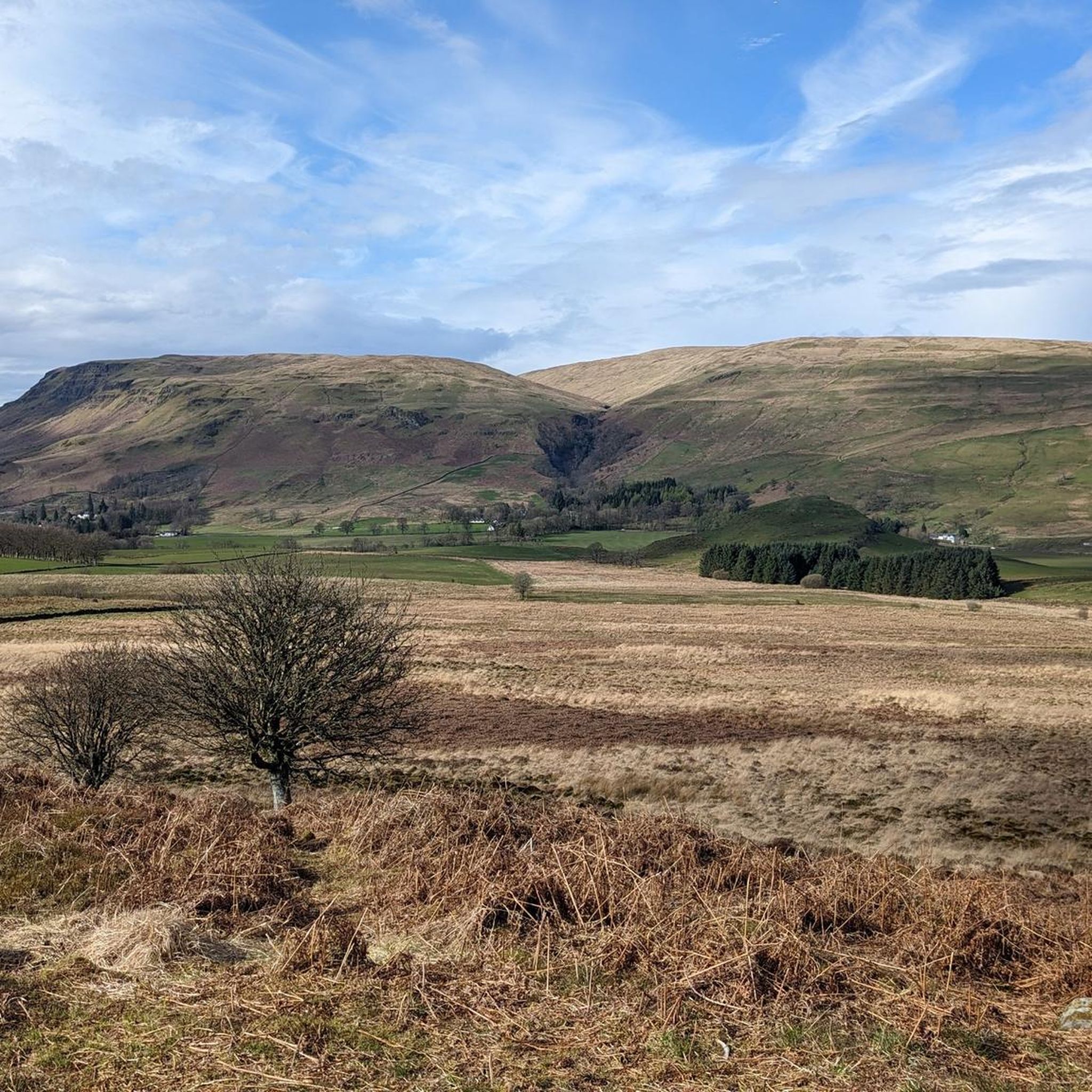
Road Cycling Routes around Shared Cadder/Milton/Lambhill/Maryhill/Summerston
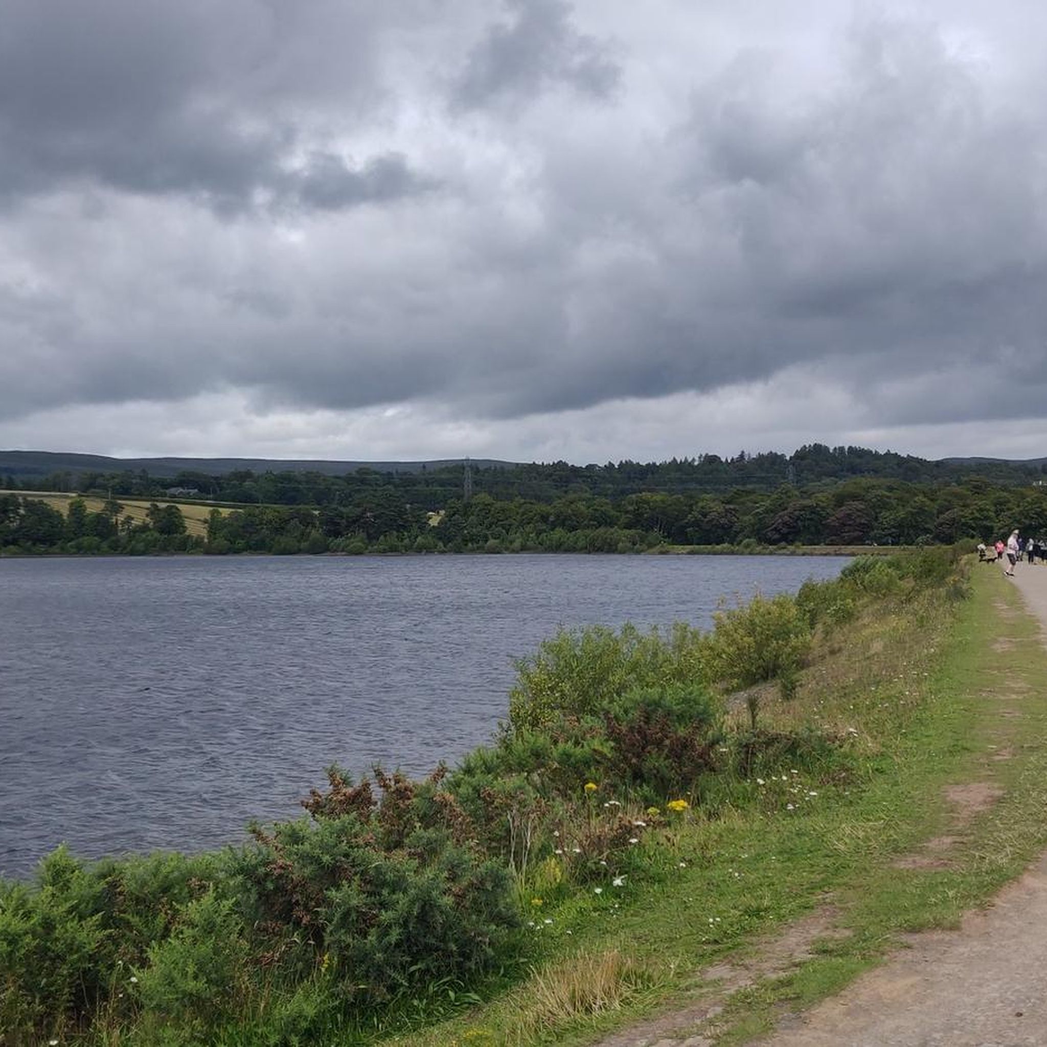
Hiking around Shared Cadder/Milton/Lambhill/Maryhill/Summerston
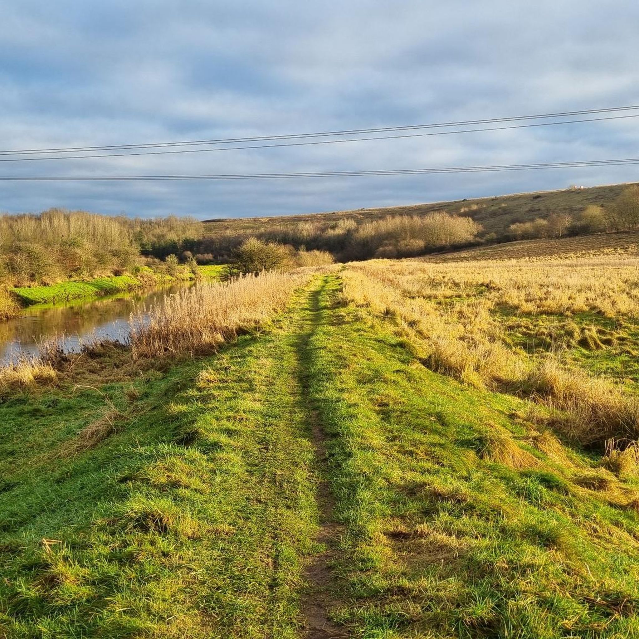
MTB Trails around Shared Cadder/Milton/Lambhill/Maryhill/Summerston

Gravel biking around Shared Cadder/Milton/Lambhill/Maryhill/Summerston
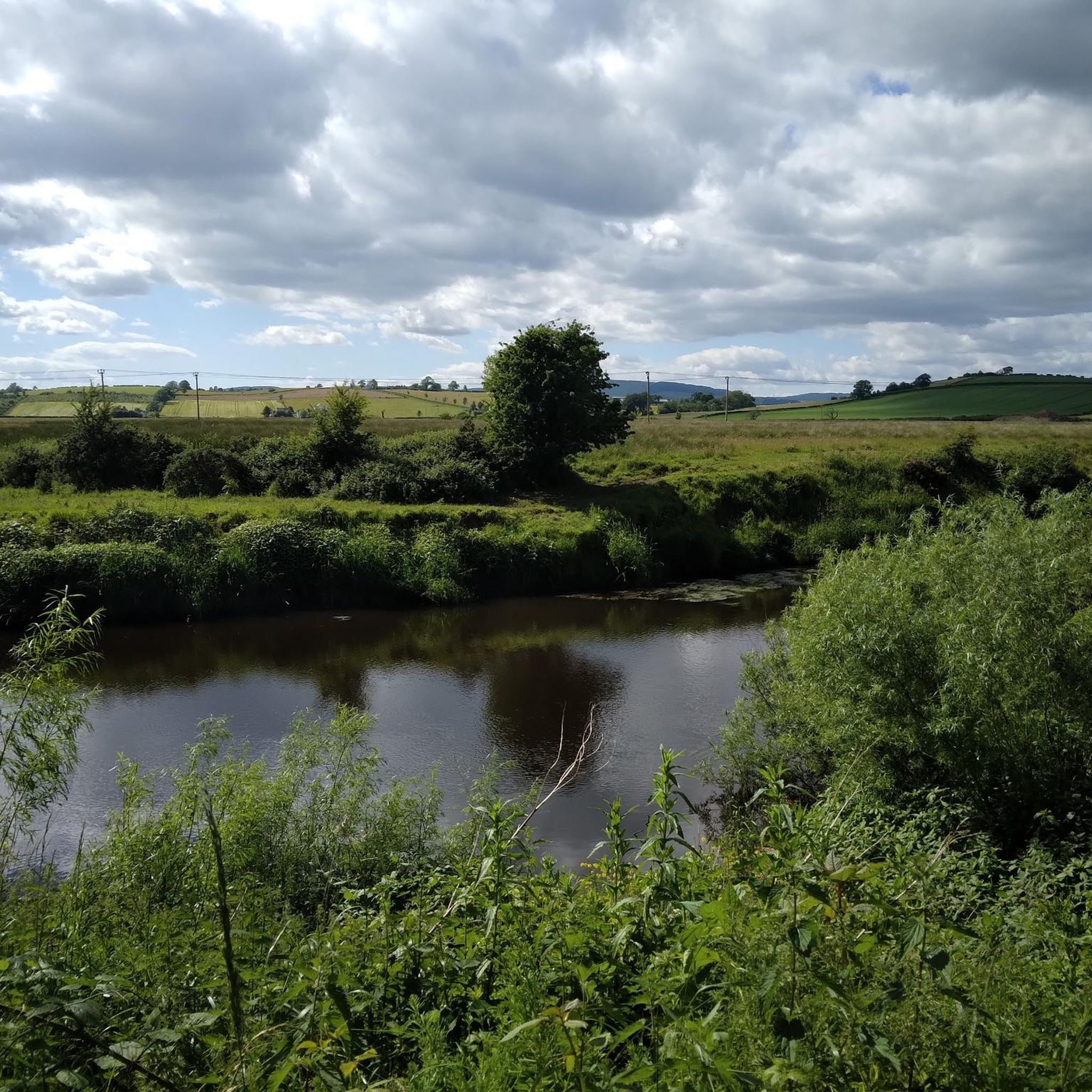
Cycling around Shared Cadder/Milton/Lambhill/Maryhill/Summerston
Tips from the Community

Anyone who loves gardens, plants and botanicals should take the small detour from the cycle path and take their time to look around here…😊
0
0

Cadder Parish Church of Scotland. There's a carpark next to the canal so you can start/finish the walk there, or further along the canal
0
0

On a nice day it’s the perfect little spot to take a wee break and grab a bite or a drink. It’s situated right on the tow path so you don’t need to worry about finding it!
0
0


Here you can get the stamp pass for the West Highland Way 🥾🥾
0
0


The start of the West Highland Way is very urban, and the first section will feel more like a country park. Good paths and signs will lead you out of the town towards Loch Lomond.
2
1

A nice starting point for the West Highland Way. There is a lot to look at and to read. A photo with the obelisk is probably a must. 😊
8
1
Frequently Asked Questions
How many running routes are available in the Shared Cadder/Milton/Lambhill/Maryhill/Summerston area?
The region offers a wide variety of running experiences, with over 800 routes available on komoot. This includes 88 easy routes, more than 600 moderate options, and over 120 challenging trails, catering to all fitness levels.
What kind of terrain can I expect on the jogging paths in this area?
You'll find a diverse range of terrain. The Forth and Clyde Canal Towpath is a significant feature, offering generally flat and scenic stretches. Other routes incorporate local green spaces, woodlands, and moorlands, especially near areas like Mugdock Country Park, providing varied surfaces for trail running.
Are there any easy or beginner-friendly running routes in Shared Cadder/Milton/Lambhill/Maryhill/Summerston?
Yes, there are 88 easy running routes in the area, perfect for beginners or those looking for a relaxed jog. Many of these follow the accessible canal paths, which are generally flat and well-maintained.
What are some interesting landmarks or natural features I might see while running?
Runners can enjoy various points of interest. The Forth and Clyde Canal Towpath itself is a key feature, offering picturesque views. You might also encounter the historic Mugdock Castle, or natural beauty spots like Craigallian Loch and Milngavie Reservoirs. The Claypits Local Nature Reserve also offers a unique natural environment.
Are there any circular running routes in the Lambhill or surrounding areas?
Yes, many routes in the region are circular, allowing you to start and finish at the same point. For example, the Speirs Wharf – View of Firhill Stadium loop from Possilpark and Parkhouse is a popular moderate circular route that takes about an hour to complete.
What do other runners say about the jogging routes in Shared Cadder/Milton/Lambhill/Maryhill/Summerston?
The running routes in this area are highly regarded by the komoot community, boasting an average rating of 4.5 stars from over 260 reviews. Runners often praise the diverse landscapes, accessible canal paths, and the mix of urban and natural environments.
Are there any family-friendly running routes suitable for children or prams?
While specific pram-friendly routes aren't highlighted, many of the flatter sections along the Forth and Clyde Canal Towpath would be suitable for families with prams. For children, easier, shorter loops in local green spaces or parks are generally recommended.
Can I bring my dog on the running trails in this region?
Many of the outdoor trails and green spaces in the Shared Cadder/Milton/Lambhill/Maryhill/Summerston area are dog-friendly. However, it's always best to keep dogs on a lead, especially in nature reserves or areas with livestock, and to check local signage for any specific restrictions.
How accessible are the running routes by public transport, especially in Maryhill?
The area is generally well-served by public transport. Many routes, particularly those along the canal, are accessible from various points within Maryhill and surrounding communities, making it convenient to reach trailheads without a car.
Are there any running routes that offer good viewpoints?
While the region is not known for dramatic mountain views, routes that venture into areas bordering Mugdock Country Park or along elevated sections of the canal can offer pleasant views of the surrounding countryside and urban landscape. The Speirs Wharf – View of Firhill Stadium loop, for instance, provides views of Firhill Stadium.
What is the best time of year for running in Shared Cadder/Milton/Lambhill/Maryhill/Summerston?
Spring and autumn generally offer the most pleasant running conditions with milder temperatures and beautiful scenery. Summer can be great, but be mindful of warmer days. Winter running is possible, but some paths might be muddy or icy, especially in less maintained areas.
Are there any longer, more challenging running routes for experienced runners?
Absolutely. For experienced runners seeking a challenge, routes like the Hillhead Basin – Mill Plantation loop from Gilshochill (22.9 km) or the Maryhill Locks – Kelvin Aqueduct loop from Gilshochill (18.6 km) offer significant distances and varied terrain, often taking over an hour and a half to complete.
Where can I find parking for running trails in the Milton Glasgow area?
Parking availability varies by specific trailhead. Many local parks and canal access points in the Milton Glasgow area offer street parking or small car parks. It's advisable to check specific route details on komoot or local council websites for the most accurate parking information near your chosen starting point.
Most popular routes around Shared Cadder/Milton/Lambhill/Maryhill/Summerston
Most popular attractions around Shared Cadder/Milton/Lambhill/Maryhill/Summerston

Get inspired with the komoot mobile app


Explore more
Browse the best Running Trails & Routes in other regions.
