The best gravel rides in Unterer Weilhartforst
4.4
(89)
602
riders
34
rides
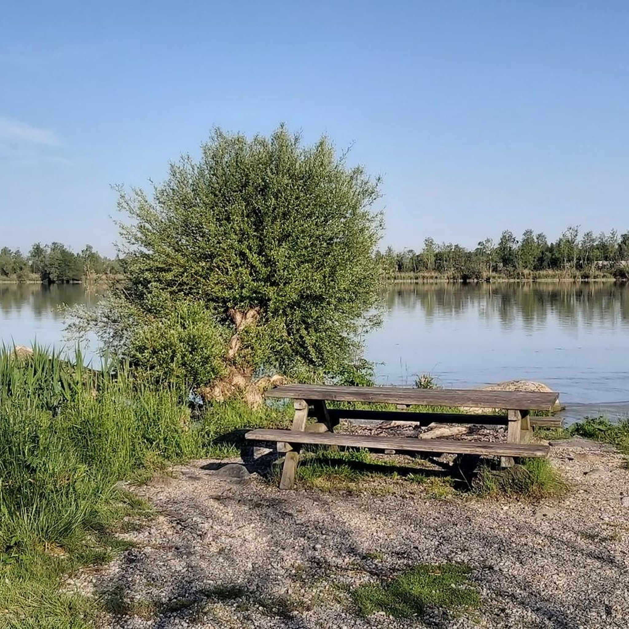
Gravel biking in Unterer Weilhartforst offers diverse terrain across an expansive forest region in the southwest of Austria's Innviertel. The landscape features a blend of flat and hilly forest areas, ranging between 400 and 500 meters above sea level. This environment includes natural small lakes, ponds, and the Enknach stream, providing varied scenery. Routes combine asphalt, forest roads, gravel roads, and easy unpaved paths, suitable for gravel cycling.
Best gravel bike trails in Unterer Weilhartforst
- The most popular gravel bike…
Last updated: July 3, 2026
4.3
(4)
31
riders
41.6km
02:05
230m
230m
Moderate gravel ride. Good fitness required. Mostly paved surfaces. Suitable for all skill levels.
4.3
(16)
88
riders
Moderate gravel ride. Good fitness required. Mostly paved surfaces. Suitable for all skill levels.

Sign up for free
4.3
(3)
15
riders
Moderate gravel ride. Good fitness required. Mostly paved surfaces. Suitable for all skill levels.
4.7
(12)
72
riders
Moderate gravel ride. Good fitness required. Mostly paved surfaces. Suitable for all skill levels.
4.7
(3)
7
riders
Hard gravel ride. Very good fitness required. Mostly paved surfaces. Suitable for all skill levels.
Get access to more routes and recommendations from other explorers.
Sign up for free
Already have an account?
Our route recommendations are based on thousands of hikes, rides, and runs completed by other people on komoot.
Start today with a free account
Your next adventure awaits.
Login or Signup
Tips from the Community

Further spectacular views of Burghausen's historic center can be enjoyed from the viewing platform, a short walk further upstream (with a kiosk and restrooms). Photographers will find the perfect setting here for their ideal shot: the 6 x 6 m "Castle Window" by local artist Stefan Esterbauer. After a short walk back, the Schmallerl-Steig path leads back down to the "Old Bridge".
0
0

The town hall was built in the 18th century by combining three originally separate residential plots. The western façade was redesigned as a unified structure after the merger. The core of the Gothic atrium dates from the 14th and 15th centuries, while the façade dates back to the 18th century. The building was inhabited by the noble Mautner family before being acquired by the town in 1439. The façade features the Burghausen town coat of arms, with the Bavarian heraldic symbols of diamonds and lions above it.
13
0

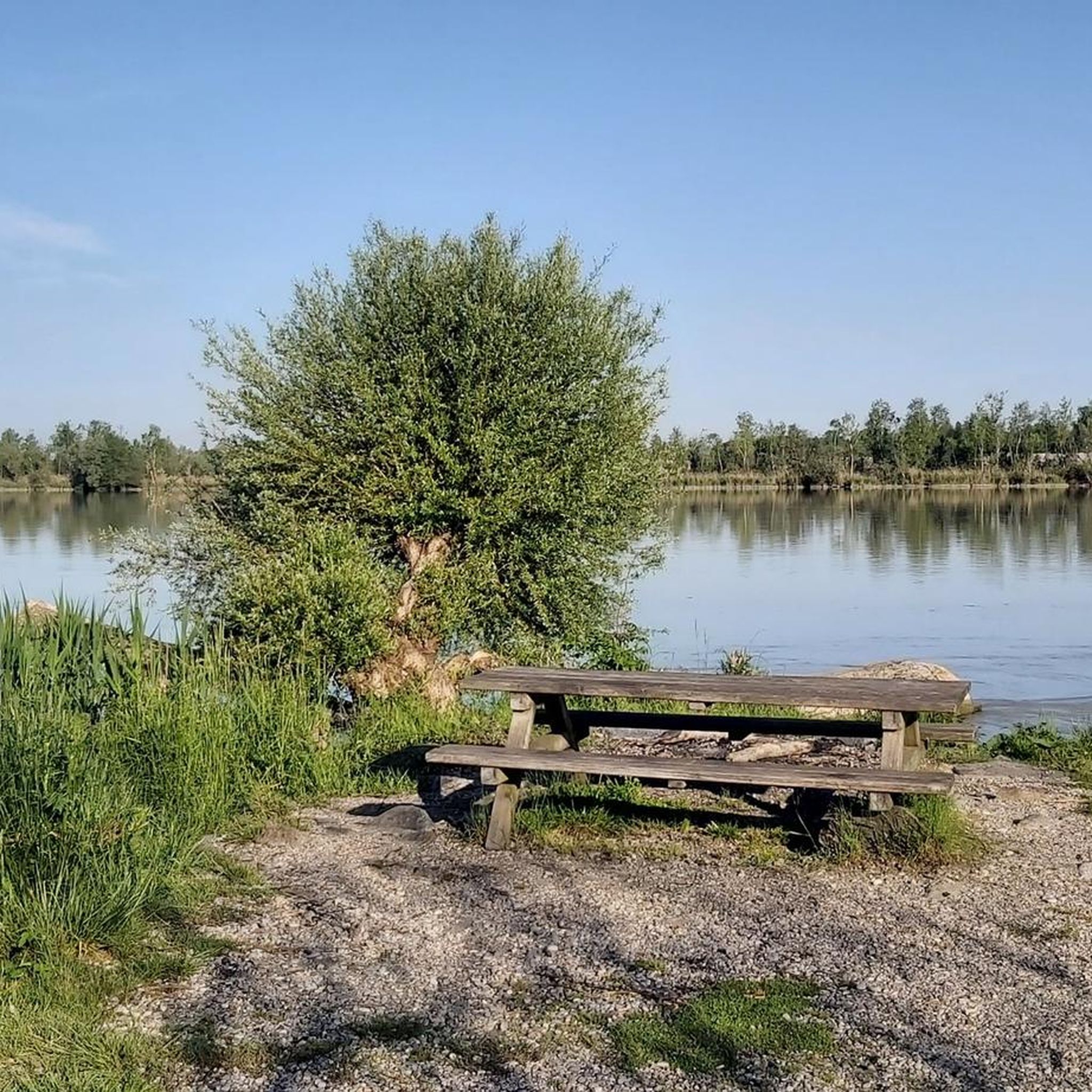
Beautiful in any season 🌿🌾 but especially in spring when in bloom
2
0

Wide, straight, well maintained gravel road through the forest.
0
0
Mediocre road surface, but for sure easy enough for touring bikes and up ;)
1
0

A beautiful walking path along the Salzach River; partly unpaved and untouched. Beyond the Kreuzfelsen rock, the trail was blocked because trees had fallen.
1
0

very beautiful church
0
0

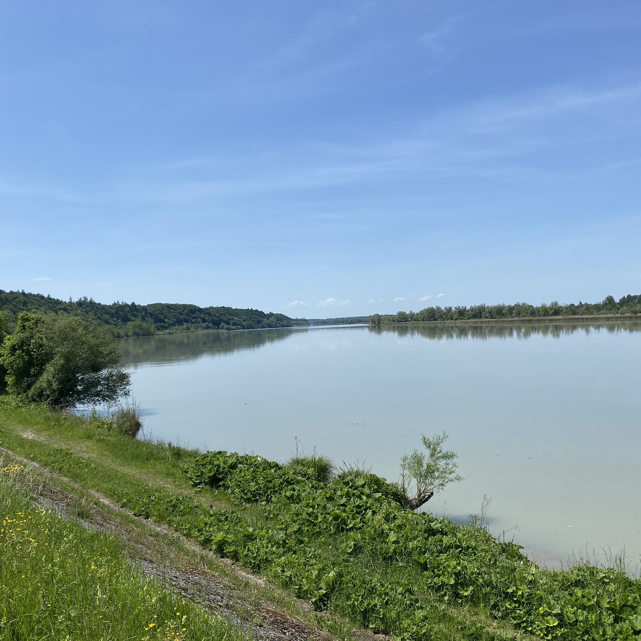
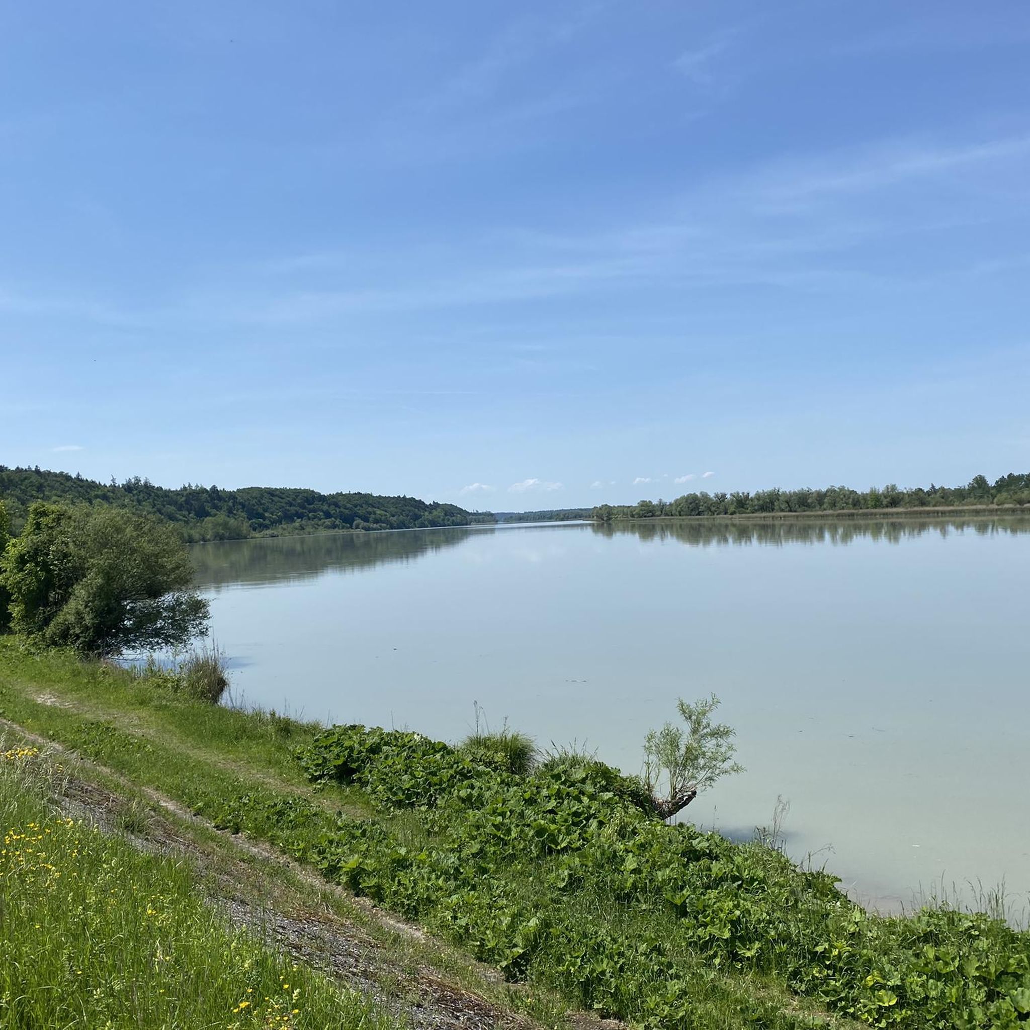
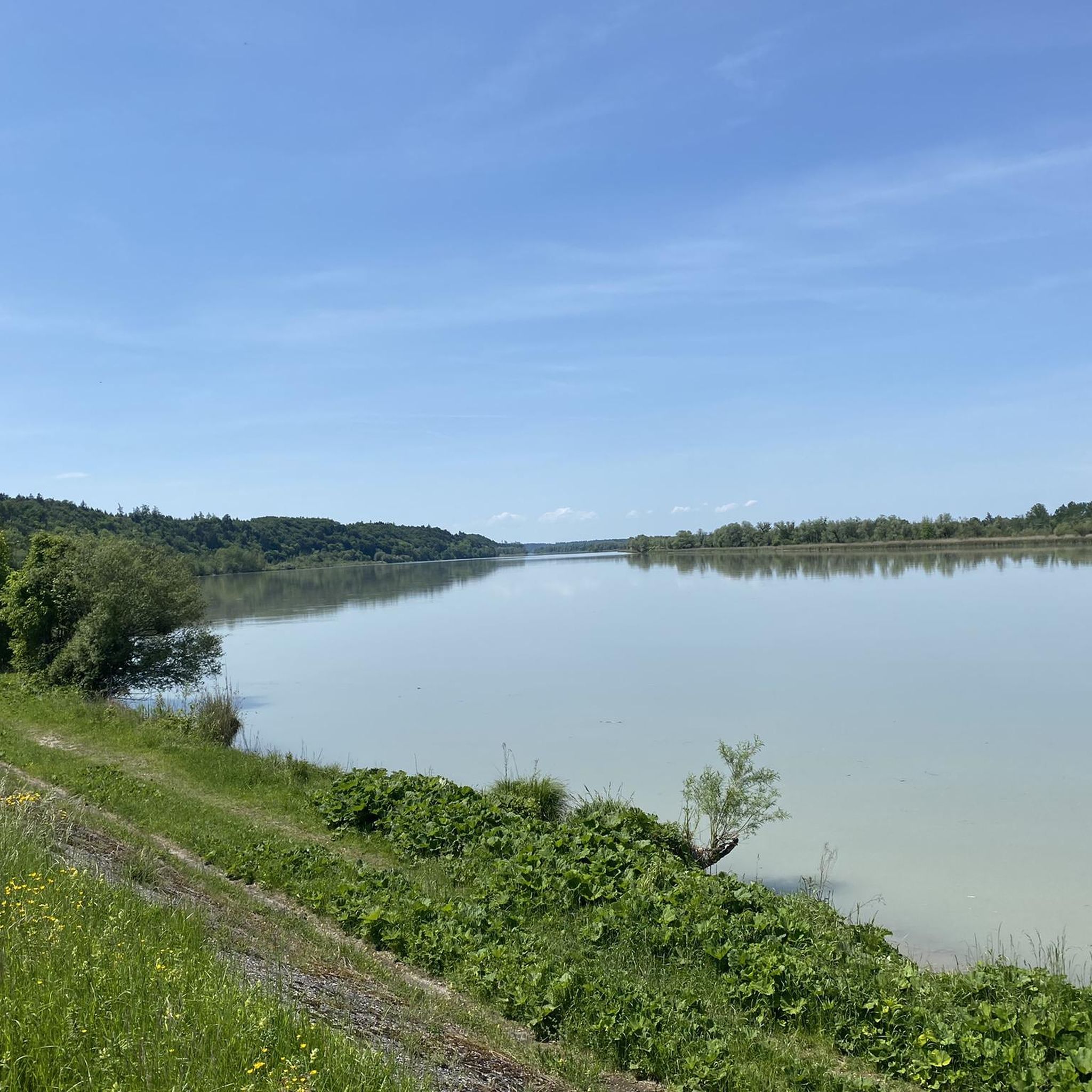
A beautiful landscape
3
0
Frequently Asked Questions
What kind of terrain can I expect on gravel bike trails in Unterer Weilhartforst?
The Unterer Weilhartforst region offers a varied landscape for gravel biking, featuring a mix of flat and hilly forest areas. You'll encounter asphalt, forest roads, gravel roads, and easy unpaved paths, providing a diverse riding experience suitable for gravel bikes.
How many gravel bike routes are available in Unterer Weilhartforst?
There are over 70 gravel bike routes available in Unterer Weilhartforst, catering to various skill levels. These include 19 easy, 45 moderate, and 10 difficult trails, ensuring options for every rider.
Are there any family-friendly gravel bike routes in Unterer Weilhartforst?
Yes, the region offers several easy gravel bike routes that are suitable for families. These trails often feature less challenging terrain and can be a great way to explore the forest's natural beauty together. Look for routes marked as 'easy' on komoot for suitable options.
What natural features can I see while gravel biking in Unterer Weilhartforst?
Unterer Weilhartforst is known for its 'dark forest with small lakes' ambiance. You can expect to see natural small lakes, ponds, and artificial ponds, including the noteworthy Huckinger Seen with their near-natural reed zones. The Enknach stream also flows through parts of the wider Weilhartsforst area.
Are there any specific landmarks or attractions along the gravel bike trails?
Yes, you can discover several interesting points of interest. For example, you might encounter the Ratzlburg Castle Excavation Site. Many routes also pass along the Inn River Cycle Path, offering scenic views.
What is the best time of year to go gravel biking in Unterer Weilhartforst?
The diverse terrain of Unterer Weilhartforst makes it suitable for gravel biking across multiple seasons. Spring and autumn offer pleasant temperatures and vibrant scenery, while summer provides longer daylight hours. Even in winter, some trails might be accessible, though conditions can vary.
Are there any circular gravel bike routes in the region?
Yes, many of the gravel bike routes in Unterer Weilhartforst are designed as loops, allowing you to start and end at the same point. An example is the Cross Rock on the Salzach – Kreuzfelsen on the Salzach loop from Burghausen (Oberbay), which offers a moderate 36 km ride.
Where can I find parking for gravel biking in Unterer Weilhartforst?
While specific parking spots aren't detailed in every route description, many trails start from towns or villages like Duttendorf or Burghausen (Oberbay), where public parking is typically available. It's advisable to check local parking options near your chosen starting point.
What do other gravel bikers say about the trails in Unterer Weilhartforst?
The gravel biking routes in Unterer Weilhartforst are highly regarded by the komoot community, with an average rating of 4.5 stars from over 120 reviews. Riders often praise the varied terrain, the natural beauty of the forest and lakes, and the sense of freedom offered by the mix of paved and unpaved paths.
Are there any challenging gravel bike routes for experienced riders?
Yes, for experienced gravel bikers seeking a challenge, Unterer Weilhartforst offers 10 routes classified as 'difficult'. These trails typically feature more significant elevation changes and potentially more technical sections, providing a rewarding experience.
Can I access gravel bike trailheads by public transport?
While the region is well-suited for cycling, direct public transport access to every trailhead might vary. Major towns near the forest, such as Burghausen or Braunau, are generally better connected. Planning your route in advance and checking local transport schedules is recommended.
What is the typical length and elevation gain for gravel bike routes here?
Gravel bike routes in Unterer Weilhartforst vary in length and elevation. For instance, the Confluence of the Salzach and the Inn – Inn-Salzach View loop from Duttendorf is about 35 km with over 200 meters of elevation gain, while the Tittmoning Castle – Tittmoning Town Square loop from Burghausen (Oberbay) covers 45 km with around 348 meters of ascent.
Most popular routes in Unterer Weilhartforst
Most popular attractions in Unterer Weilhartforst

Get inspired with the komoot mobile app


Explore more
Browse the best Gravel rides in other regions.
