The best running trails in Unterer Weilhartforst
4.4
(305)
5,592
runners
491
runs
Jogging in Unterer Weilhartforst offers routes through a densely wooded area in Upper Austria, characterized by its morainic landscape and terraced gravel. This region, shaped by the ice-age Salzach glacier, features varied terrain with both flat sections and gentle inclines. The extensive forest cover, primarily beeches and spruces, provides a shaded environment for running. As a designated groundwater protection area, the Unterer Weilhartforst maintains a pristine natural state, making it suitable for outdoor activities.
Best jogging routes in Unterer Weilhartforst
…Last updated: October 17, 2026
20
runners
9.59km
01:02
120m
120m
Moderate run. Good fitness required. Mostly paved surfaces. Suitable for all skill levels.
17
runners
17.6km
01:50
50m
50m
Hard run. Very good fitness required. Mostly paved surfaces. Suitable for all skill levels.

8
runners
14.1km
01:28
100m
90m
Moderate run. Good fitness required. Mostly paved surfaces. Suitable for all skill levels.
5
runners
10.2km
01:05
100m
100m
Moderate run. Good fitness required. Mostly paved surfaces. Suitable for all skill levels.
3.0
(1)
6
runners
7.25km
00:47
20m
30m
Moderate run. Good fitness required. Mostly paved surfaces. Suitable for all skill levels.
Get access to more routes and recommendations from other explorers.
Already have an account?
Our route recommendations are based on thousands of hikes, rides, and runs completed by other people on komoot.
Start today with a free account
Your next adventure awaits.
Tips from the Community

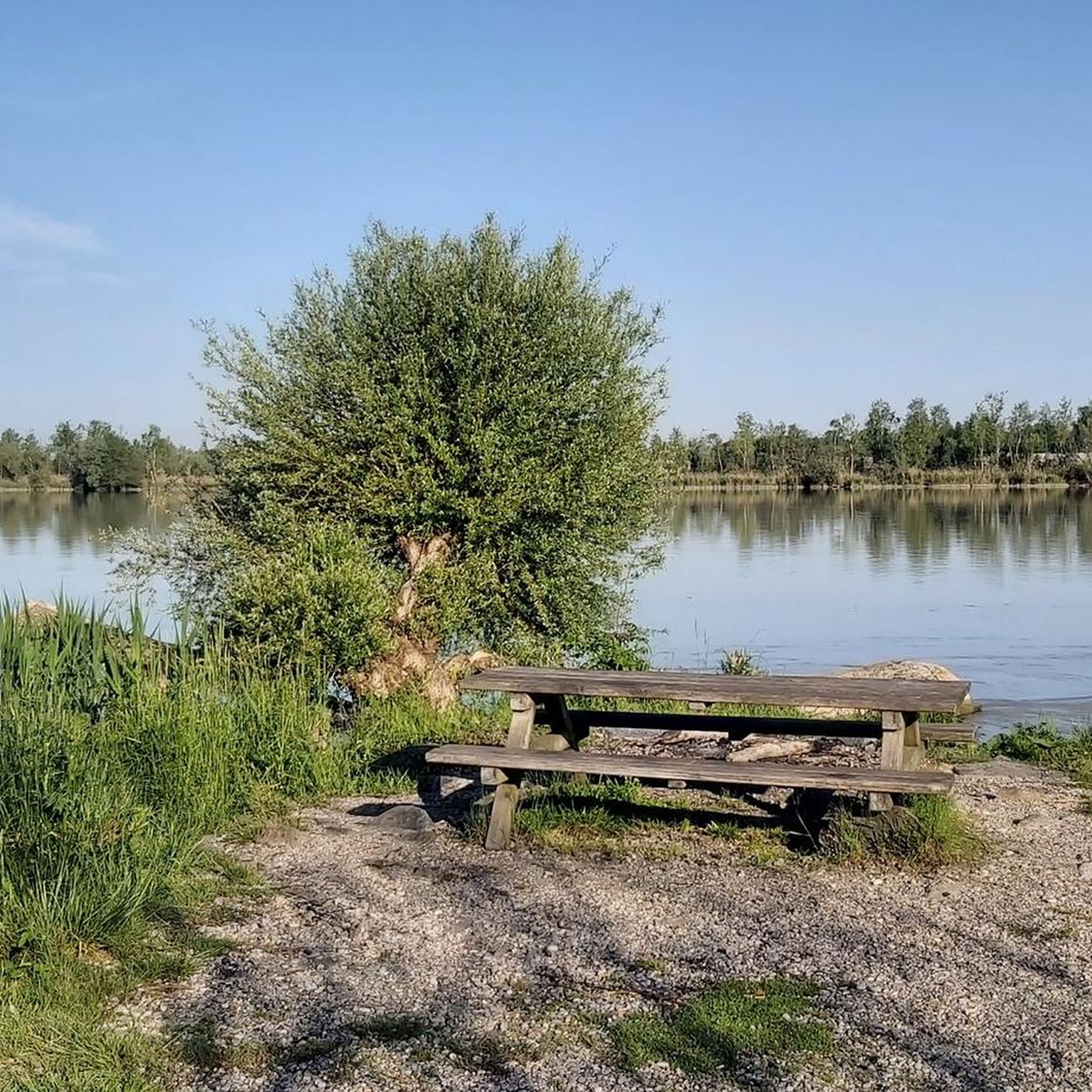
Everyone can really let off steam here
0
0

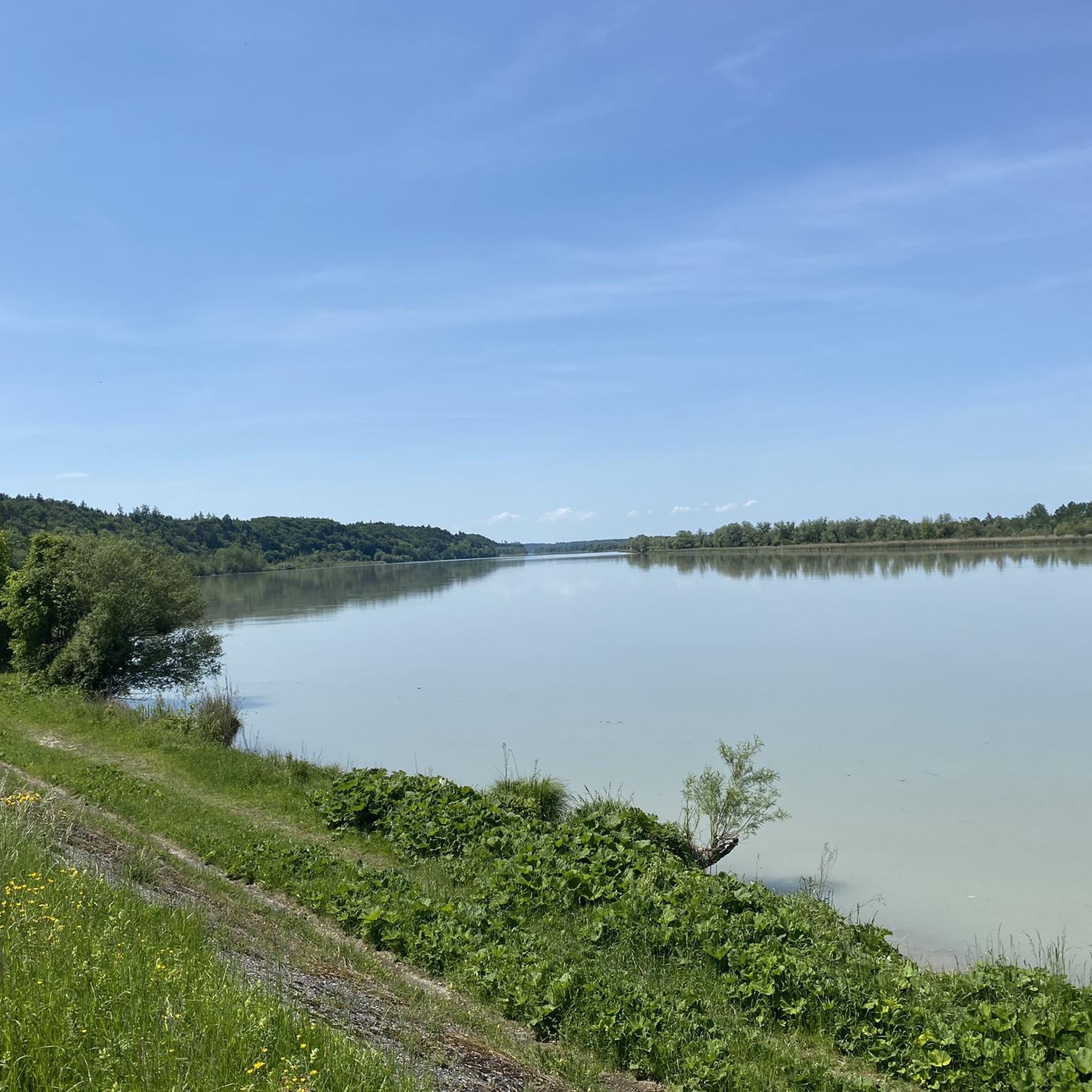
The border between Germany and Austria is in the middle of the Salzach
0
0

The historic town square is one of the most beautiful in Central Europe. Magnificent buildings preserve the flair of centuries past. The town square impresses not only with its picturesque architecture but also with a unique atmosphere that combines tradition and modernity.
16
0

Very interesting
4
1
Very nice here
2
0
Always nice to look at
2
0
Frequently Asked Questions
How many running routes are available in Unterer Weilhartforst?
The Unterer Weilhartforst offers a wide selection of running routes, with over 500 different trails to explore. This includes options for various fitness levels, from easy jogs to more challenging runs.
What kind of terrain can I expect on the jogging trails in Unterer Weilhartforst?
Jogging in Unterer Weilhartforst means experiencing a diverse landscape. The area features a hilly morainic landscape shaped by the ice-age Salzach glacier, as well as terraced gravel sections. You'll find a mix of flat paths and gentle inclines, all within a densely wooded environment primarily composed of beeches and spruces.
Are there any easy running routes suitable for beginners or a relaxed pace?
Yes, Unterer Weilhartforst has 44 easy running routes perfect for beginners or those looking for a relaxed jog. These trails offer a gentle introduction to the region's beautiful woodlands.
Can I find circular running routes in the Unterer Weilhartforst?
Absolutely. Many of the running routes in the Unterer Weilhartforst are circular, allowing you to start and finish at the same point. For example, the Running loop from Überackern is a moderate 7.2 km option, and the Running loop from Ottenschwand offers an 8.5 km experience.
What do other runners think about the trails in Unterer Weilhartforst?
The running trails in Unterer Weilhartforst are highly regarded by the komoot community, boasting an average rating of 4.4 stars from over 270 reviews. More than 5,000 runners have used komoot to explore the varied terrain, often praising the serene, shaded woodlands and well-maintained paths.
Are there any interesting landmarks or sights to see along the running routes?
While jogging, you can discover several points of interest. Consider routes that pass near the Ratzlburg Castle Excavation Site or offer a View of the confluence of the Inn and Salzach. You might also encounter sections of the Franz Xaver Gruber Peace Trail (Friedensweg) in Hochburg.
Is the Unterer Weilhartforst suitable for family-friendly running or walking?
Yes, the varied terrain with both flat sections and gentle inclines, combined with the extensive shaded woodlands, makes many routes suitable for families. The 44 easy routes are particularly good choices for a leisurely family run or walk.
What is the best time of year to go jogging in Unterer Weilhartforst?
The dense woodland of Unterer Weilhartforst, primarily beeches and spruces, provides a shaded environment that is pleasant for jogging throughout much of the year. Spring and autumn offer particularly scenic experiences with changing foliage, while the shade is welcome during warmer summer months. As a designated groundwater protection area, its pristine natural state is enjoyable in any season.
Are there any longer running options for experienced runners?
Certainly. For those seeking a longer challenge, the Pest Column – Hochburg Parish Church loop from Burghausen is a popular moderate route spanning 14.1 km (8.8 miles). There are 403 moderate and 68 difficult routes available for more experienced runners.
What are the typical elevation changes on the running trails?
The Unterer Weilhartforst's morainic landscape means you'll encounter varied elevation changes. While there are flat sections, many routes feature gentle inclines. For instance, the Burghausen Town Square – Café am Bichl loop from Burghausen has an elevation gain of about 118 meters over its 9.7 km distance, offering a good mix of challenge and ease.
Is the Unterer Weilhartforst a dog-friendly area for running?
The extensive natural woodlands and network of trails in Unterer Weilhartforst make it a great place to run with dogs. As a groundwater protection area, it maintains a pristine environment, which is beneficial for all visitors. Always ensure your dog is under control and respect local regulations regarding leashes.
Most popular routes in Unterer Weilhartforst
Most popular attractions in Unterer Weilhartforst

Get inspired with the komoot mobile app


Explore more
Browse the best Running Trails & Routes in other regions.
