The best gravel rides in Volkenrodaer Forst
5.0
(18)
77
riders
11
rides
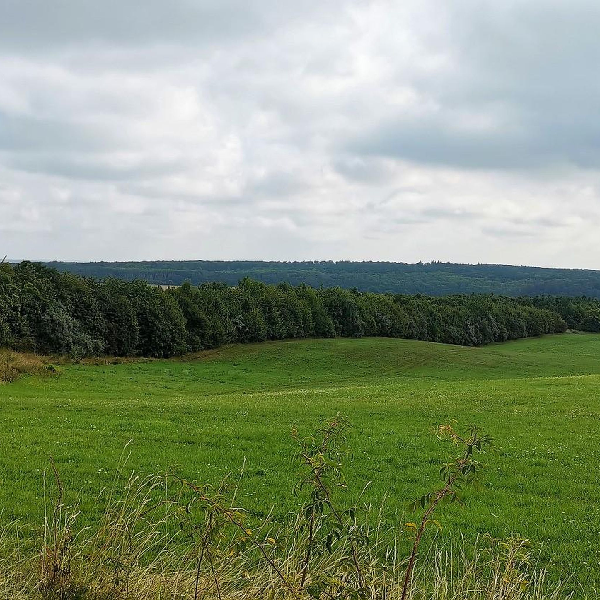
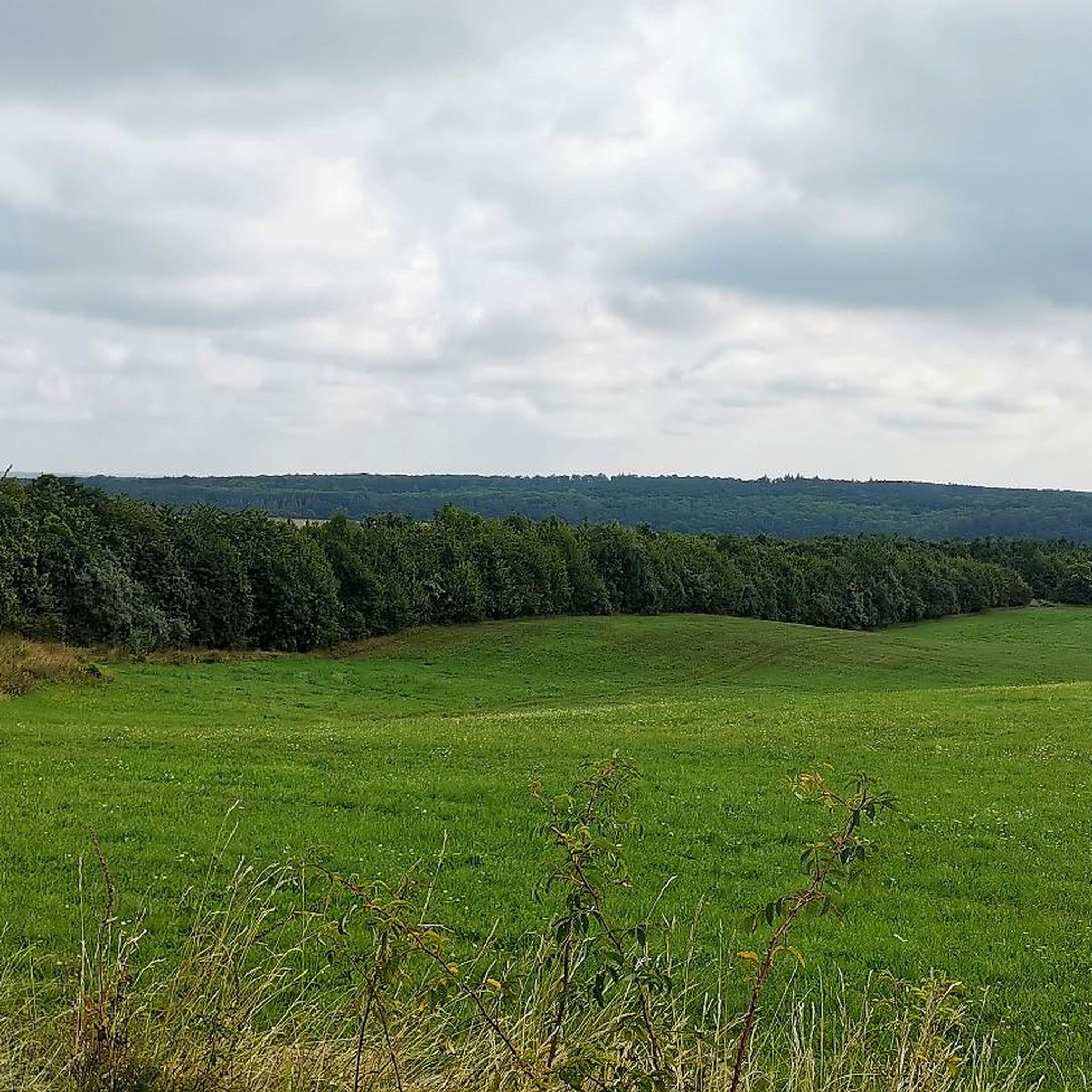
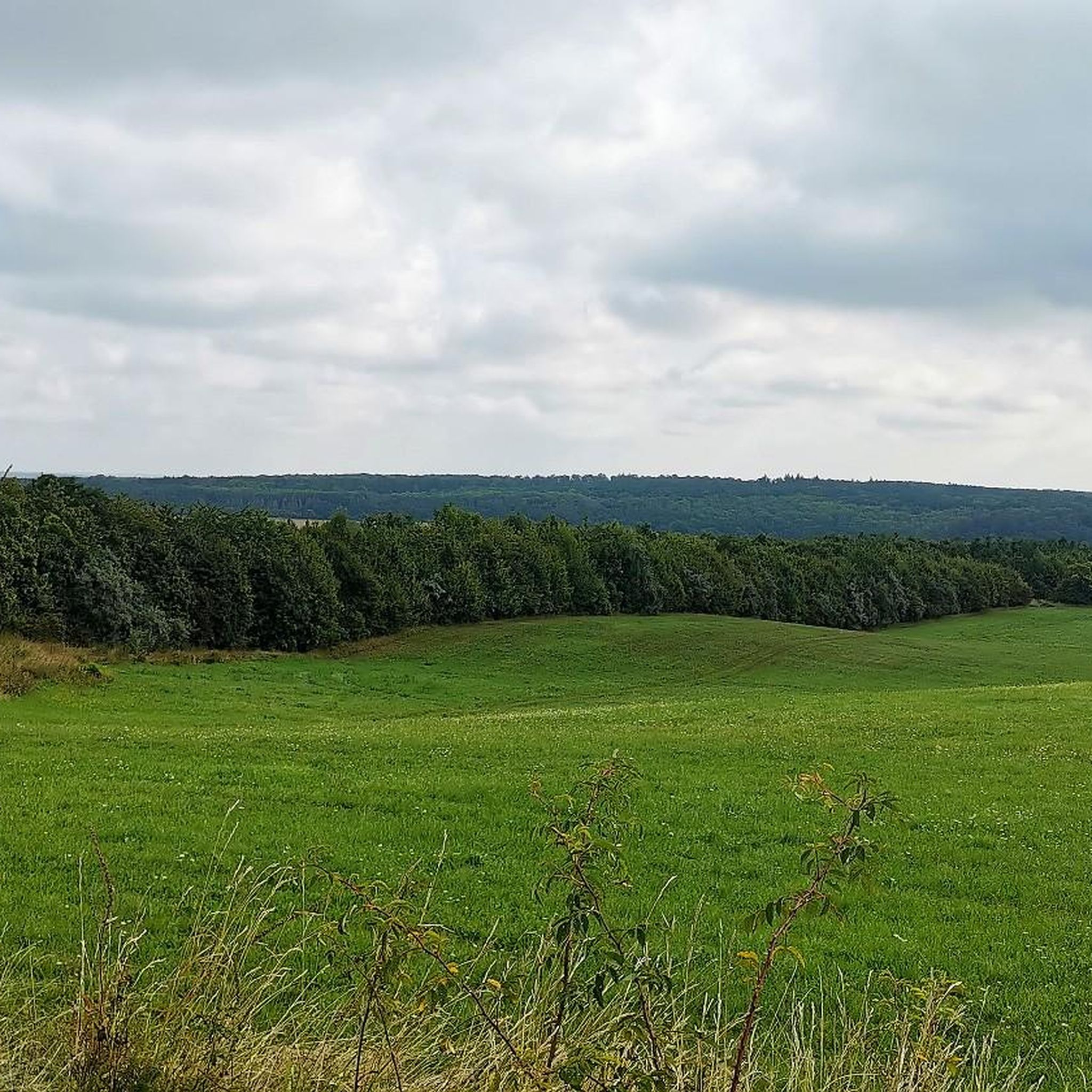
Gravel bike trails in Volkenrodaer Forst traverse a roughly 670-hectare mixed forest area in Thuringia, characterized by diverse terrain. The region's elevation ranges from approximately 270 meters in the Schaftal to 364.1 meters at its highest point, providing varied gradients for cycling. Muschelkalk geology has created unique karst phenomena, including dolines and the prominent Schaftal dry valley, contributing to a dynamic landscape. An extensive network of paths offers numerous unpaved and semi-paved routes suitable for gravel bikes.
Best gravel bike…
Last updated: July 3, 2026
6
riders
51.7km
03:09
440m
440m
Moderate gravel ride. Good fitness required. Mostly paved surfaces. Suitable for all skill levels.
5.0
(2)
13
riders
49.8km
03:05
490m
490m
Hard gravel ride. Very good fitness required. Mostly paved surfaces. Suitable for all skill levels.

Sign up for free
5.0
(6)
16
riders
Hard gravel ride. Very good fitness required. Mostly paved surfaces. Suitable for all skill levels.
5.0
(1)
11
riders
73.7km
04:11
750m
750m
Hard gravel ride. Very good fitness required. Mostly paved surfaces. Suitable for all skill levels.
5.0
(2)
5
riders
31.6km
02:05
380m
380m
Hard gravel ride. Good fitness required. You may need to push your bike for some segments of this route.
Get access to more routes and recommendations from other explorers.
Sign up for free
Already have an account?
Our route recommendations are based on thousands of hikes, rides, and runs completed by other people on komoot.
Start today with a free account
Your next adventure awaits.
Login or Signup
Tips from the Community


impressive, the tunnels on this route - but very cold in spring, certainly quite pleasant in summer.
0
0

It's very impressive to cycle right next to the cliffs. The cycle path is in good condition, but quite narrow.
0
0

The asphalt is superb to ride on and a fantastic experience when you cycle through the tunnels. Perfect for road bikes – but be careful: When you change sides of the bike path, you have to cross the tracks! When it's hot, the tunnels offer a welcome cooling-off point.
0
0

The Unstrut Cycle Path, which you can also hike, leads from Mühlhausen through the Sachsensiedlung to the "Unstruttal," the beautiful Ammern district, past OBI, the Im Sande nature reserve, under the new 247b bypass, to Reiser district. Along the Unstrut, through the railway viaduct into the wonderful Reiser Valley with the former imperial palace of Tutensode, a rest area, then through the second railway viaduct past the interesting sculptures to Dachrieden district, or before that, turn left into Reiser Hagen. I highly recommend it for cyclists 🚴🏻♂️ and hikers 🚶🏻♂️🚶🏻♂️
2
1

Buy your entry chip during the day and enjoy it all in the evening
0
0

St. Wigberti's monastery. Werningshsusen
0
0

Sometimes you need a shelter, and this one is absolutely fine.
0
0
Frequently Asked Questions
How many gravel bike trails are available in Volkenrodaer Forst?
There are over 15 gravel bike routes in Volkenrodaer Forst, offering a diverse range of experiences. These include routes of varying difficulty, from moderate to difficult, catering to different skill levels.
What kind of terrain can I expect on gravel bike trails in Volkenrodaer Forst?
Volkenrodaer Forst features a diverse mixed forest landscape with varied terrain. You'll encounter elevations ranging from approximately 270 meters in the Schaftal to 364.1 meters at its highest point, providing both challenging climbs and enjoyable descents. The region's unique Muschelkalk geology has also created interesting karst phenomena like dolines and the prominent Schaftal dry valley, contributing to a dynamic and engaging riding surface on its extensive network of unpaved and semi-paved paths.
Are there any notable natural features or landmarks to see while gravel biking in Volkenrodaer Forst?
Yes, the Volkenrodaer Forst offers several points of interest. You can explore the historic Kloster Volkenroda, which often serves as a starting point for routes. Near the monastery, you'll find the Pilgrim Monument “Beginning and End”. The tranquil Calf Pond is another idyllic spot, and the Shelter in Schafbachtal offers a resting place within the geologically significant Schaftal dry valley.
What do other gravel bikers enjoy most about the trails in Volkenrodaer Forst?
The komoot community highly rates the gravel biking experience in Volkenrodaer Forst, with an average score of 5.0 stars. Riders often praise the varied terrain, the scenic mixed forest, and the unique geological features like the Schaftal dry valley, which make for a dynamic and interesting ride.
Are there any family-friendly gravel biking options in Volkenrodaer Forst?
While many routes in Volkenrodaer Forst are rated as difficult due to elevation changes, the extensive network of paths means there are likely sections or shorter loops that could be suitable for families with some biking experience. Look for routes with less extreme elevation profiles if you're seeking a more relaxed ride.
Where can I park my car when visiting Volkenrodaer Forst for gravel biking?
The historic Kloster Volkenroda is a significant landmark and a common starting point for many routes, suggesting it's a good place to look for parking facilities. Additionally, towns like Mühlhausen (Thür), which are often departure points for routes into the forest, typically offer public parking options.
Can I access Volkenrodaer Forst trails using public transport?
While specific public transport links directly into the heart of Volkenrodaer Forst might be limited, towns like Mühlhausen (Thür) serve as common starting points for many routes and are generally well-connected by public transport. From there, you could cycle to the forest's edge.
Are there any circular gravel bike routes in Volkenrodaer Forst?
Yes, many of the gravel bike routes in Volkenrodaer Forst are designed as loops. For example, the Spittelbrunnen – Unstrut Cycle Path loop from Volkenroda is a popular moderate option, and the more challenging Bette Oak – Mühlhausen City Wall Park loop from Mühlhausen (Thür) also offers a circular experience.
What is the best time of year to go gravel biking in Volkenrodaer Forst?
The mixed forest environment of Volkenrodaer Forst makes it appealing across multiple seasons. Spring and autumn offer pleasant temperatures and beautiful scenery with changing foliage. Summer is also suitable, though it's wise to start earlier in the day to avoid midday heat. Winter riding is possible, but trail conditions may vary depending on snow and ice.
Are there any cafes or pubs near the gravel trails in Volkenrodaer Forst?
While the Volkenrodaer Forst itself is a natural area, the nearby Kloster Volkenroda and the larger town of Mühlhausen (Thür), which serves as a common starting point for many routes, are good places to look for cafes, pubs, and restaurants to refuel before or after your ride.
What is the longest gravel bike route in Volkenrodaer Forst?
One of the longer and more challenging gravel bike routes in the area is the Cliffs near Probstei Zella – Falkener Cliffs loop from Mühlhausen (Thür), which spans approximately 73.7 km (45.8 miles) and typically takes around 4 hours and 10 minutes to complete.
Most popular routes in Volkenrodaer Forst
Most popular attractions in Volkenrodaer Forst

Get inspired with the komoot mobile app


Explore more
Browse the best Gravel rides in other regions.
