The best gravel rides around Sopo
4.8
(13)
98
riders
9
rides
Gravel biking around Sopo, Colombia, offers diverse terrain within the Eastern Cordillera of the Andes Mountains. The region features mountainous landscapes with green hills and valleys, providing varied gradients for cyclists. Situated at an elevation of nearly 2,600 meters, Sopo's high altitude contributes to its unique riding conditions. The area's natural features, including the nearby Tominé Reservoir, create a scenic backdrop for gravel routes.
Best gravel bike trails around Sopo
- The most popular gravel bike trail is Corno de Bico…
Last updated: July 3, 2026
2
riders
83.7km
08:38
2,110m
2,120m
Hard gravel ride. Very good fitness required. Mostly paved surfaces. Suitable for all skill levels.
4.4
(7)
48
riders
51.5km
03:20
190m
190m
Moderate gravel ride. Good fitness required. Mostly paved surfaces. Suitable for all skill levels.

Sign up for free
14
riders
91.3km
07:33
1,520m
1,520m
Hard gravel ride. Very good fitness required. Mostly paved surfaces. Suitable for all skill levels.
5.0
(2)
14
riders
49.4km
02:57
330m
320m
Moderate gravel ride. Good fitness required. Mostly paved surfaces. Suitable for all skill levels.
5.0
(4)
13
riders
51.5km
03:02
170m
170m
Moderate gravel ride. Good fitness required. Mostly paved surfaces. Suitable for all skill levels.
Get access to more routes and recommendations from other explorers.
Sign up for free
Already have an account?
Our route recommendations are based on thousands of hikes, rides, and runs completed by other people on komoot.
Start today with a free account
Your next adventure awaits.
Login or Signup
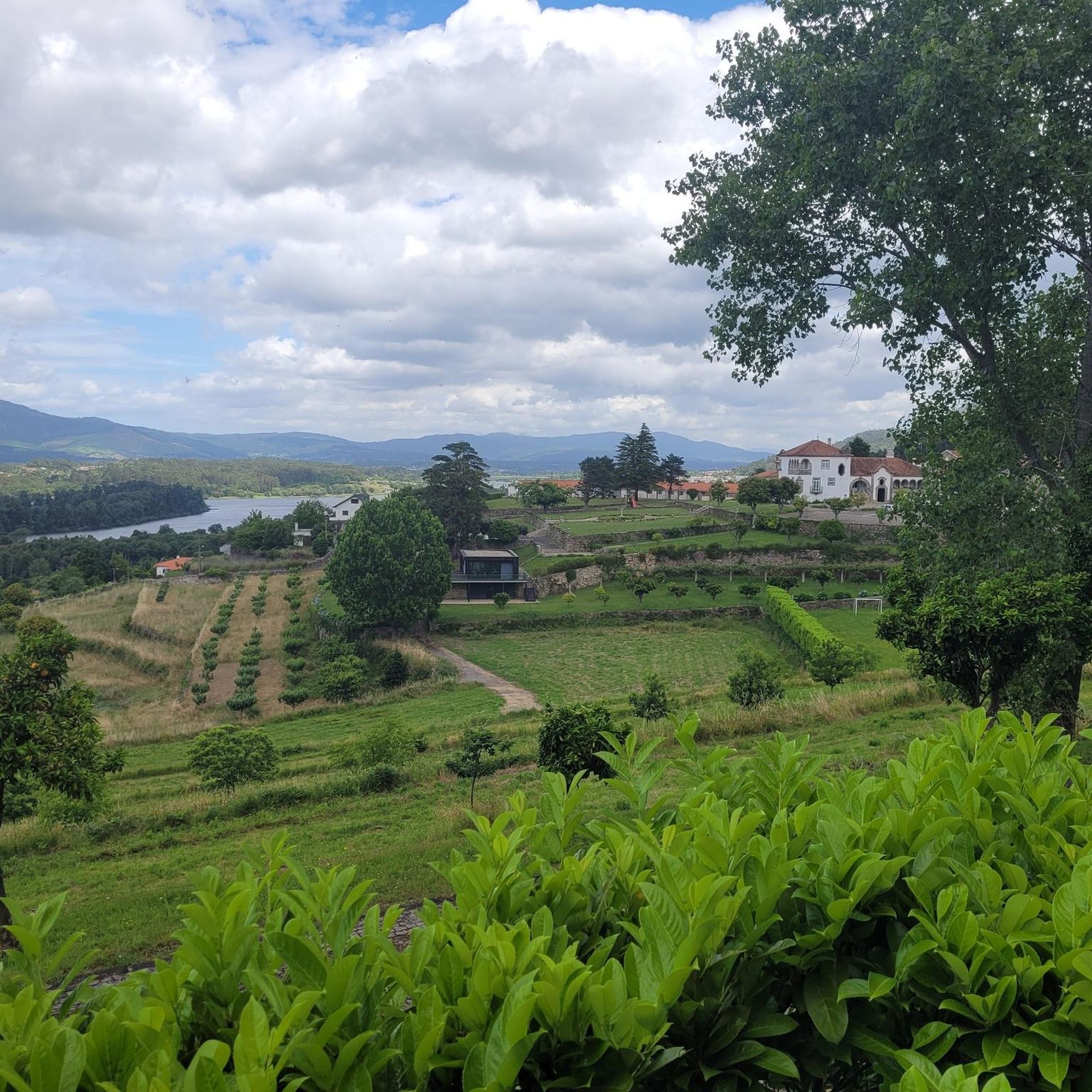
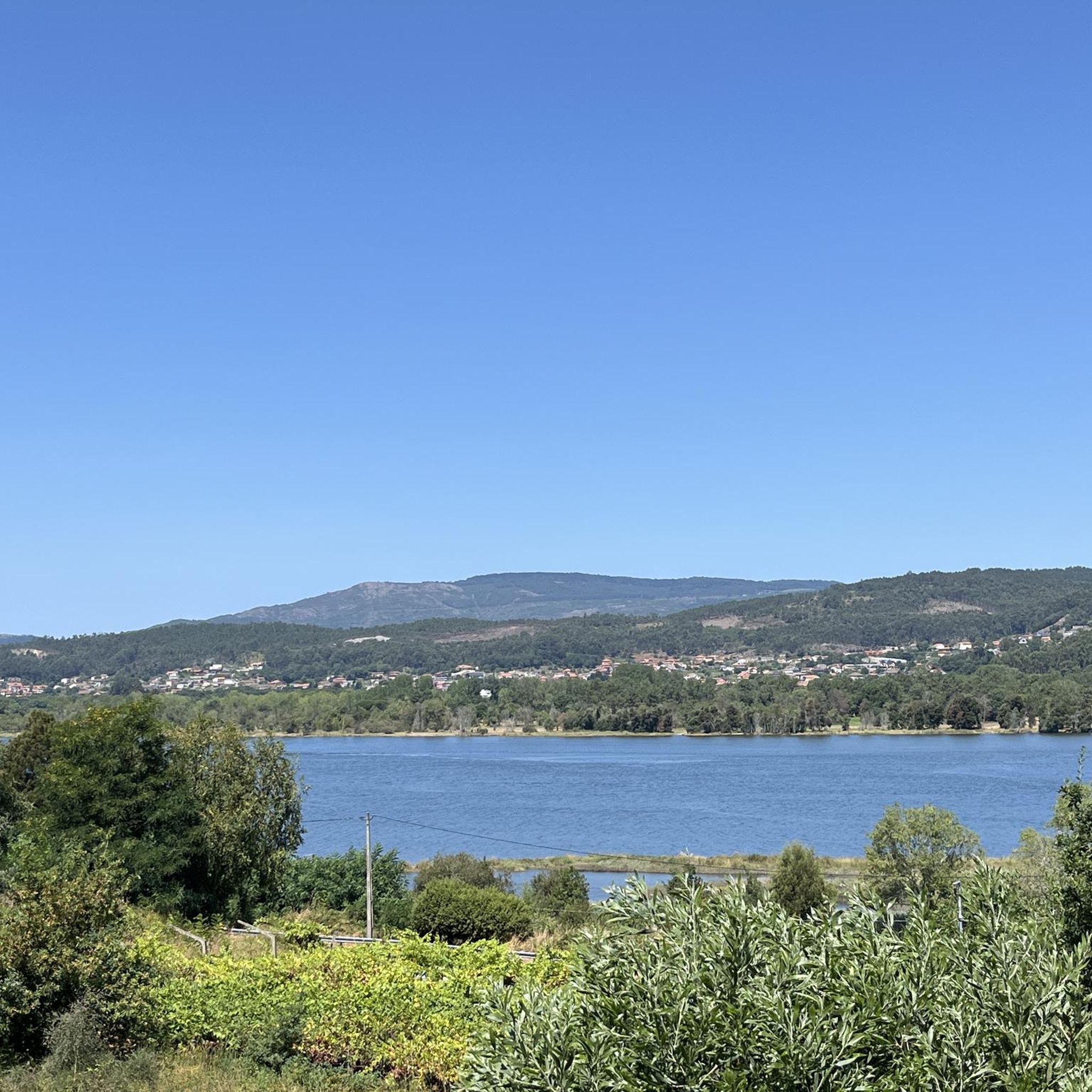
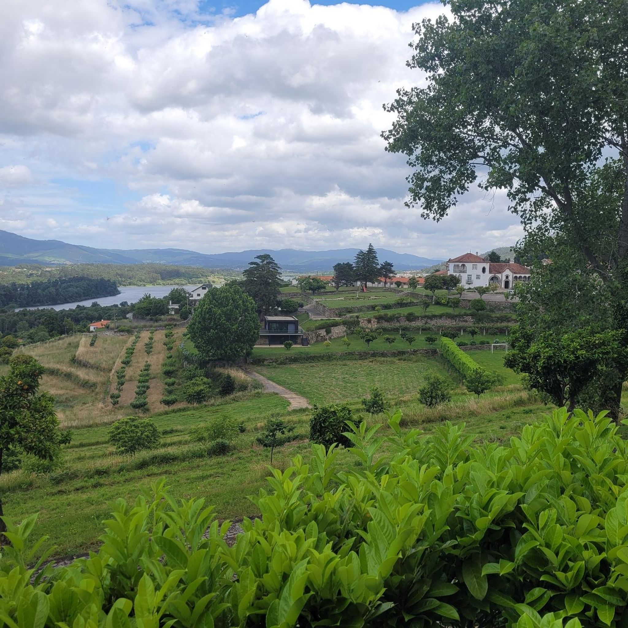
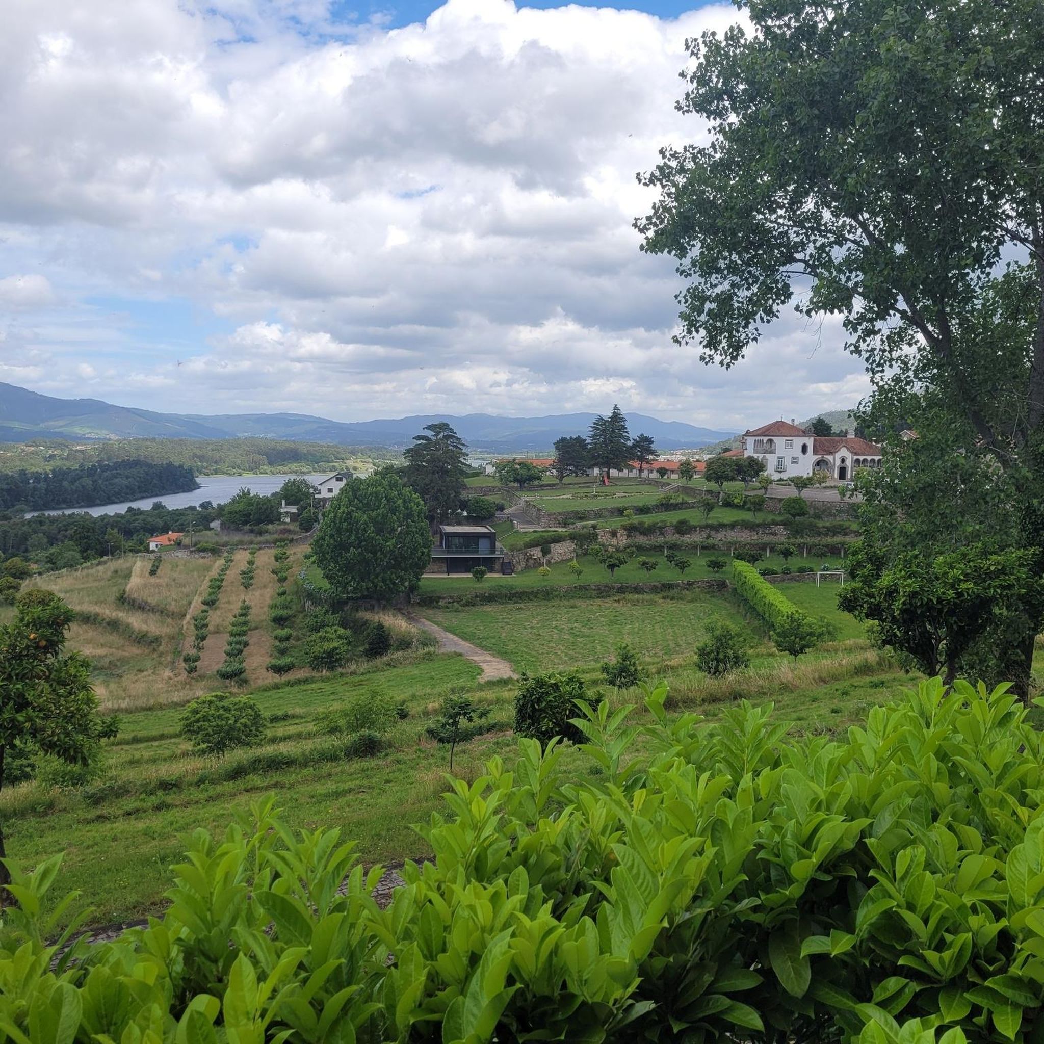
Tips from the Community

Many routes are not permitted for bicycles, but this is mostly ignored.
0
0

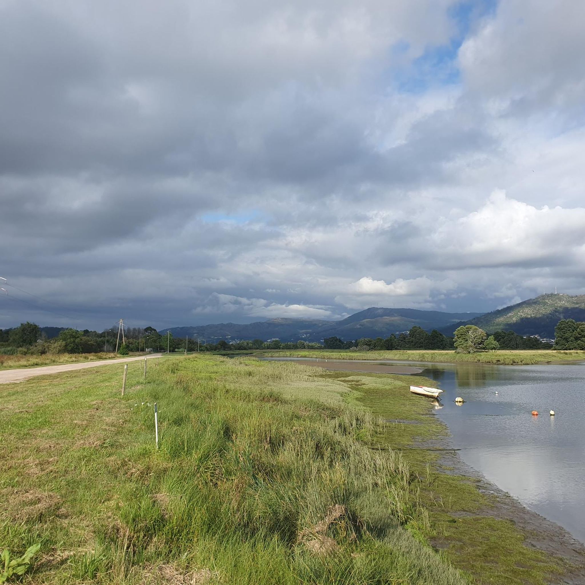
View of Monte Santa Trega with the fort located in front of it at the river mouth.
0
0

The North Coast Ecovia is a cycling and pedestrian route that stretches for 73 kilometers, connecting Caminha to Apúlia in northern Portugal. It is part of the North Coast Natural Park and offers stunning views of the Atlantic coast and natural landscape. Points of Interest: - Beaches: The North Coast Ecovia passes by several beaches, including Esposende Beach, Suave Mar Beach, Cepães Beach, Barrelas Beach, and Rio de Moinhos Beach.
1
0
Paradise for hiking and mountain biking
0
0

A few good kilometers of beautiful landscape
1
0
several to enjoy along the Ecovia Litoral Norte
1
0

A great area. You can see horses roaming free, and there are plenty of options for getting up and down from there, both on trails and paths.
0
0
Frequently Asked Questions
How many gravel bike trails are available around Sopo?
There are over 10 gravel bike trails around Sopo, offering a variety of experiences for different skill levels. The komoot community has highly rated these routes, with an average score of 4.8 stars.
What kind of terrain can I expect on gravel bike routes in Sopo?
Gravel biking around Sopo is characterized by mountainous terrain within the Eastern Cordillera of the Andes. You'll encounter diverse gradients, from gentle slopes to challenging ascents and descents, winding through green hills and valleys. The region's high elevation, nearly 2,600 meters above sea level, also contributes to unique riding conditions.
Are there any challenging gravel routes for experienced riders?
Yes, Sopo offers several difficult routes for experienced gravel bikers. For instance, the Corno de Bico Loop is a demanding 83.7 km (52.0 miles) trail with significant elevation gain, typically taking over 8 hours to complete. Another challenging option is the View from the bridge – Cycle path along the river loop from Carvalha-A, which covers 91.3 km (56.7 miles) through green hills.
What are some scenic viewpoints or natural features to look out for on Sopo's gravel trails?
Sopo's location in the Andes provides stunning views. The nearby Tominé Reservoir is a significant natural attraction, and routes often offer expansive panoramas of green hills and valleys. You might also find elevated points that offer breathtaking views, similar to those enjoyed by paragliders in the area. For specific viewpoints, consider exploring highlights like Monte de Santa Trega or Rest and picnic area. Top of Serra da Labruja.
Are there any moderate-difficulty gravel routes suitable for a day trip?
Absolutely. A popular moderate route is the Montedor Viewpoint – Carreço Beach loop from Senhora da Agonia. This 51.4 km (31.9 miles) path offers varied terrain and scenic views, and can typically be completed in about 3 hours and 19 minutes, making it ideal for a rewarding day trip.
Can I find any historical or cultural landmarks along the gravel routes in Sopo?
While the gravel routes primarily focus on natural landscapes, Sopo itself has a charming traditional colonial town center with a main square (Parque Principal) and the beautiful Iglesia Divino Salvador, which are worth exploring. For historical sites nearby, you could look for highlights such as Vila Nova de Cerveira Castle or the Caminha Historic Centre, which are part of broader regional attractions.
What is the best season for gravel biking in Sopo?
Sopo's high elevation of nearly 2,600 meters contributes to a generally mild climate year-round, making it comfortable for sustained physical activity. However, riders should always be prepared for potential changes in weather due to the mountainous environment. It's advisable to check local forecasts before heading out.
Are there any loop trails for gravel biking in Sopo?
Yes, many of the gravel routes in Sopo are designed as loops, allowing you to start and end at the same point. Examples include the challenging Corno de Bico Loop and the moderate Montedor Viewpoint – Carreço Beach loop from Senhora da Agonia. This design makes planning your ride more convenient.
What do other gravel bikers say about the routes in Sopo?
The gravel biking routes in Sopo are highly regarded by the komoot community, boasting an impressive average rating of 4.8 stars from more than 15 reviews. Over 100 gravel bikers have used komoot to explore the varied terrain, often praising the stunning mountainous landscapes, green hills, and diverse gradients that make for an engaging ride.
Are there any easier gravel bike trails suitable for beginners or families?
While Sopo is known for its varied terrain, there are easier options available. The guide indicates that there are at least 2 easy routes among the total of 12. These routes provide a gentler introduction to gravel biking in the region, allowing beginners and families to enjoy the scenic landscapes without overly challenging climbs.
Where can I find parking when planning a gravel bike trip to Sopo?
While specific parking locations for trailheads are not detailed, Sopo has a charming town center (Parque Principal) which typically offers parking facilities. From there, you can often access routes or find local transport options to trail starting points. It's always a good idea to check local maps or community notes for specific trailhead parking.
What is the longest gravel bike trail in the Sopo area?
One of the longest routes you can explore is the Cabo Silleiro Lighthouse – View of the Cíes Islands loop from Carvalha-A, which stretches for approximately 138.3 km (85.9 miles). This difficult trail involves significant elevation gain and is a substantial undertaking, typically requiring over 10 hours to complete.
Most popular attractions around Sopo

Get inspired with the komoot mobile app


Explore more
Browse the best Gravel rides in other regions.
