The best gravel rides in Sangre De Cristo Wilderness
4.7
(7)
57
riders
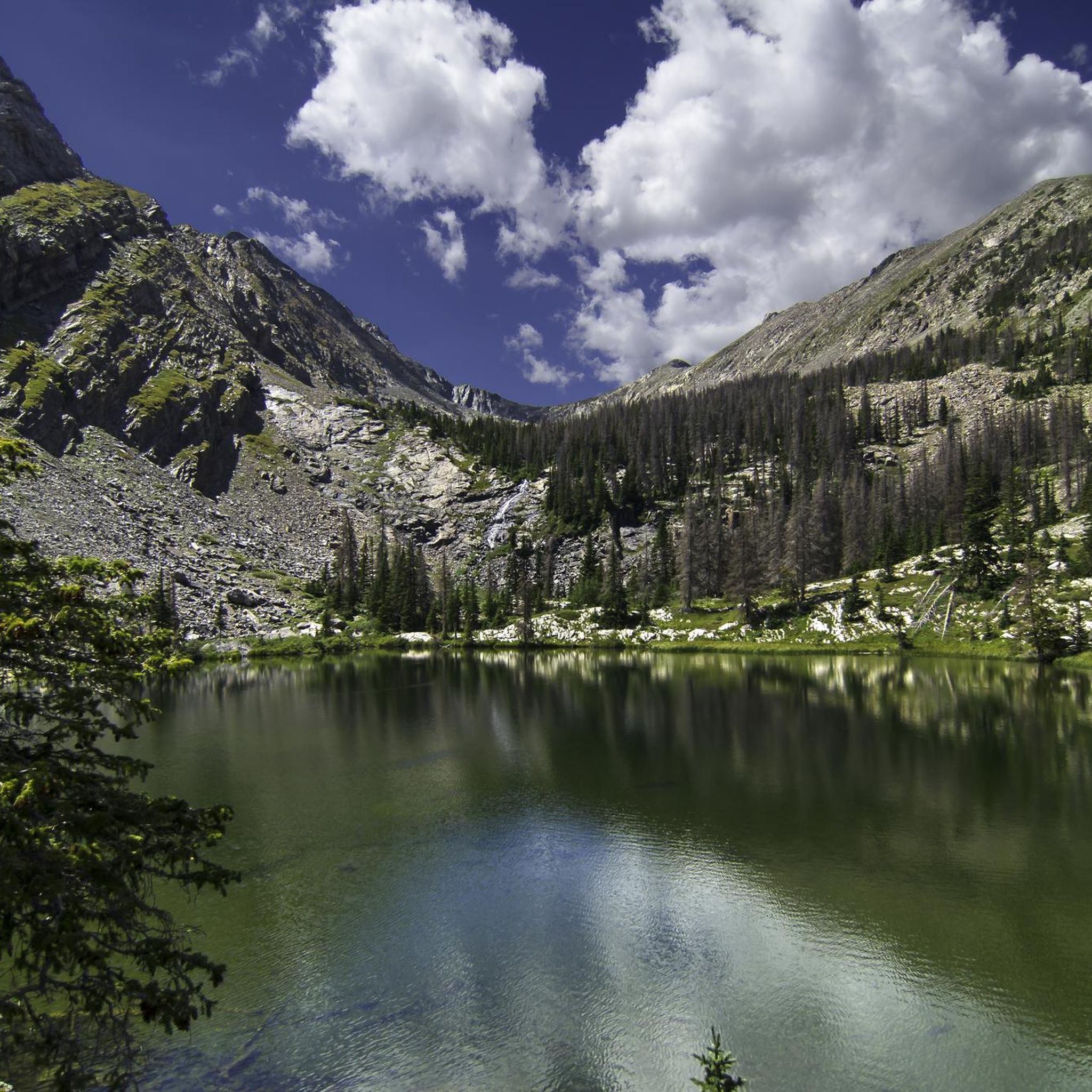
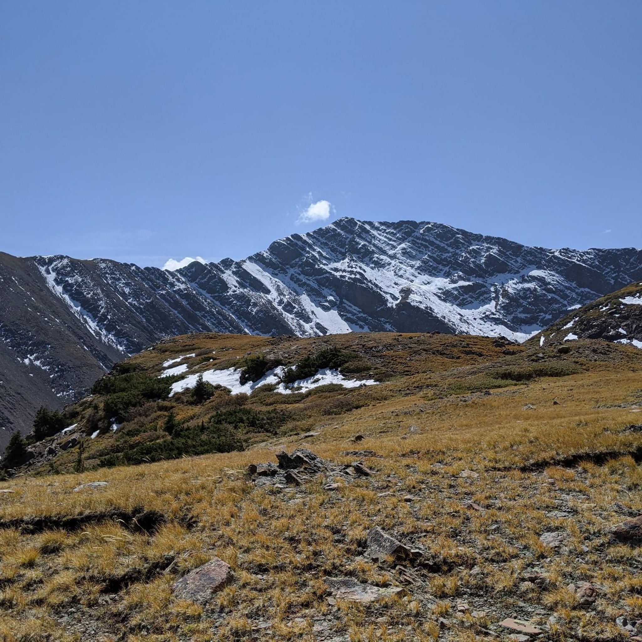
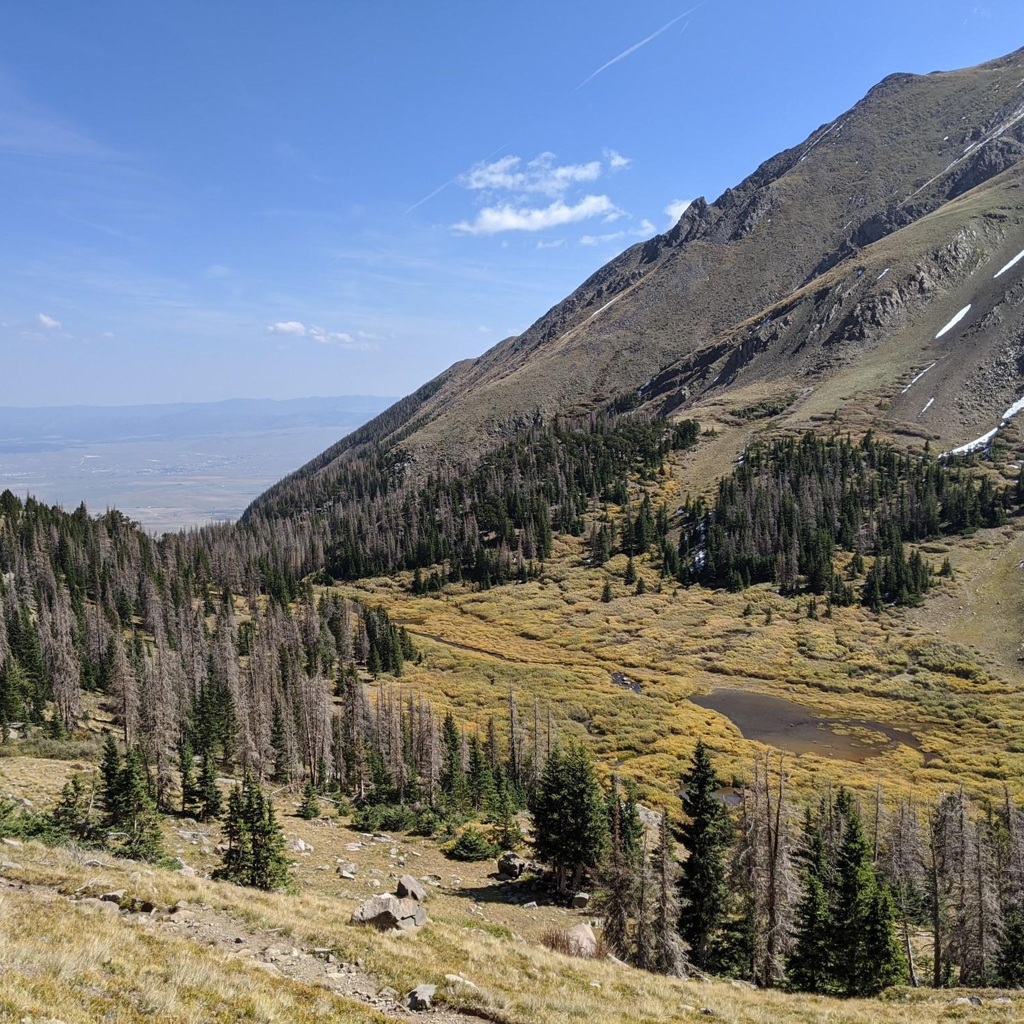
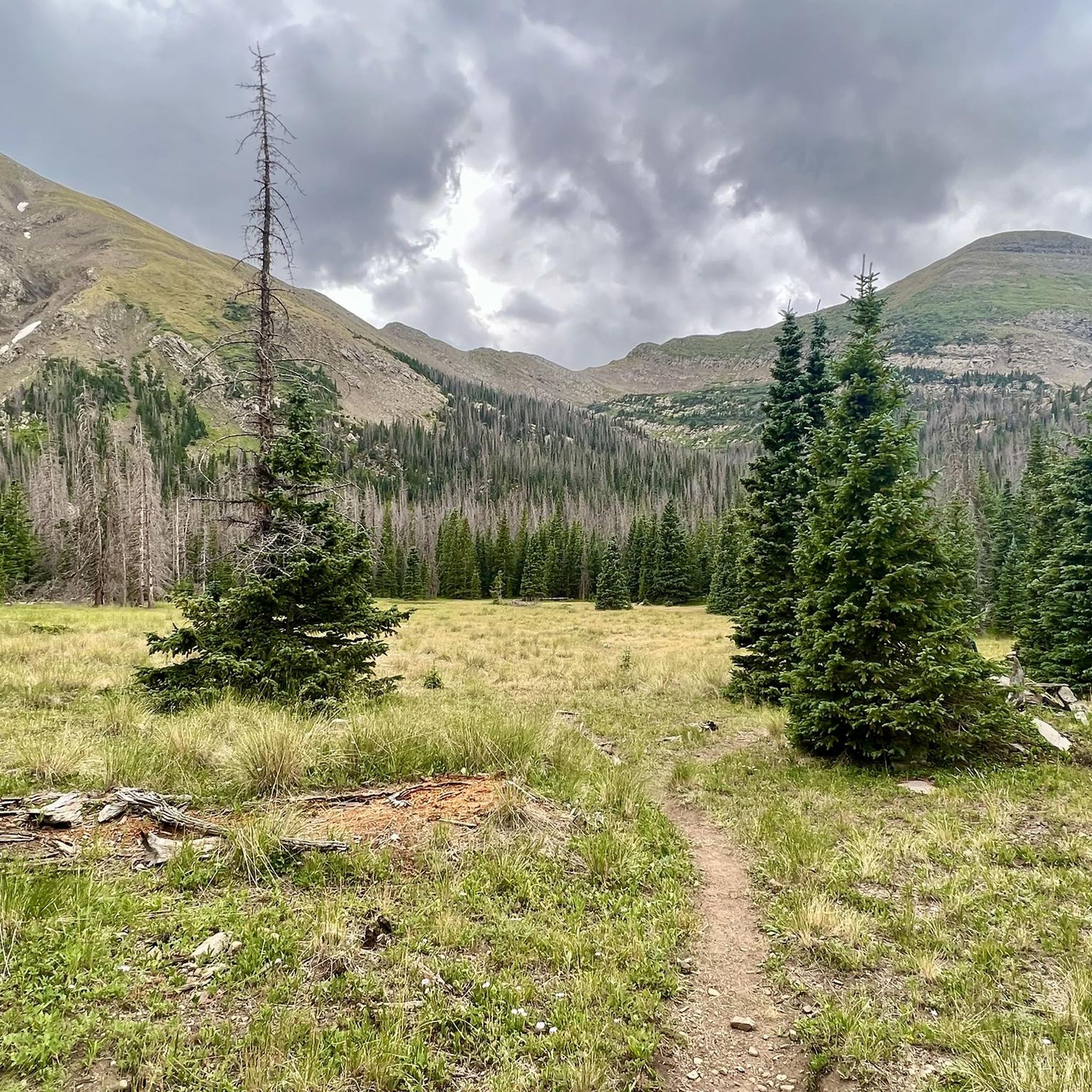
Gravel biking in Sangre De Cristo Wilderness offers routes through a high-altitude environment characterized by dramatic vertical topography and majestic peaks, some exceeding 14,000 feet. The region features a network of unpaved roads winding through diverse forests of spruce, aspen, and oak, alongside alpine lakes. This landscape provides challenging terrain for gravel bikers seeking elevation changes and remote exploration. The area's rugged terrain and extensive gravel road networks make it a notable destination for gravel biking.
Best gravel bike trails…
Last updated: October 14, 2026
24
riders
32.8km
03:02
790m
790m
Hard gravel ride. Very good fitness required. Mostly paved surfaces. Suitable for all skill levels.
4.7
(3)
13
riders
36.6km
02:15
400m
400m
Moderate gravel ride. Good fitness required. Mostly paved surfaces. Suitable for all skill levels.

4.8
(4)
13
riders
15.4km
00:52
80m
80m
Easy gravel ride. Great for any fitness level. Mostly paved surfaces. Suitable for all skill levels.
Our route recommendations are based on thousands of hikes, rides, and runs completed by other people on komoot.
Start today with a free account
Your next adventure awaits.
Tips from the Community

Hillside Drive runs right along the historic Tennessee Pass Subdivision Railway for about a mile
0
0
The summit of Calumet Mountain at 2956 m {about 9000 feet) rises to the west of Ute trail -here viewed across the west flank of the Continental divide, with higher snowcapped ranges in the distance
1
0
The Salida River Trail is a popular walking and biking trail just a few blocks north of the Historic downtown. This attractive trail parallels the Arkansas River, where you can often see whitewater rafters and kayakers in the summer months. This northern section runs along two small lakes as well.
0
0

The Salida River Trail is a popular walking and biking trail just a few blocks north of the Historic downtown. This attractive trail parallels the Arkansas River, where you can often see whitewater rafters and kayakers in the summer months.
0
0

Salida is a beautiful mountain town located in the heart of the Rockies in central Colorado. This little gem has a lot to keep you busy: no matter if you are an artistic mind or an outdoor enthusiast.
0
0
Super fun trail with lots of techy uphill features if you ride towards CR 175. The trail can be ridden in both directions and is easier – and more fun – if you start at CR 175.
1
1
Overlook with panoramic views along the Continental Divide mountains
2
0
Trailhead to the excellent dedicated bike Trail along the south bank of the Arkansas River
0
0
Frequently Asked Questions
How many gravel bike trails are available in Sangre De Cristo Wilderness?
The Sangre De Cristo Wilderness area, known for its dramatic landscapes, offers a network of unpaved roads suitable for gravel biking. On komoot, you'll find several curated routes, with more being added by the community. Currently, there are 4 gravel bike tours available, ranging from moderate to difficult, providing diverse options for exploration.
Are there any easy gravel bike trails for beginners in Sangre De Cristo Wilderness?
While many routes in the Sangre De Cristo Wilderness are challenging due to the high-altitude and significant elevation changes, there are options that cater to varying skill levels. For a moderate experience, consider the Historic Downtown Salida – Tenderfoot Hill loop from Salida. This 22.8-mile route offers varied landscapes and is a good introduction to the region's gravel biking.
What are some challenging gravel bike routes in Sangre De Cristo Wilderness?
The Sangre De Cristo Wilderness is renowned for its challenging terrain and high-altitude environment. For a demanding ride, try the Historic Downtown Salida – North Backbone Trail loop from Salida. This difficult 34.8-mile route features significant elevation gain and panoramic views, perfect for experienced gravel bikers seeking a rigorous adventure.
Are there any loop gravel bike trails in Sangre De Cristo Wilderness?
Yes, many of the gravel biking routes in the Sangre De Cristo Wilderness are designed as loops, allowing you to start and end in the same location. An example is the Poncha Creek 🌊 – Mt Ouray 🏔️ view from East loop from Grays Creek Dam, a difficult 23.7-mile loop offering stunning mountain views.
What natural attractions can I see along the gravel bike trails?
The Sangre De Cristo Wilderness is rich in natural beauty. Along and near the gravel routes, you can encounter majestic peaks, alpine lakes, and cascading waterfalls. Notable highlights include the multi-tiered Venable Falls, the serene Willow Lake, and the impressive Humboldt Peak. These features provide breathtaking backdrops for your ride.
What is the best time of year for gravel biking in Sangre De Cristo Wilderness?
The best time for gravel biking in the Sangre De Cristo Wilderness is typically from late spring through early fall. During these months, the high-altitude trails are generally free of snow, and the weather is more favorable. Be prepared for varied temperatures and air quality due to significant elevation changes, even in summer.
Is winter gravel biking possible in Sangre De Cristo Wilderness?
Winter gravel biking in the Sangre De Cristo Wilderness can be challenging due to snow, ice, and extreme cold at higher elevations. While some lower-elevation roads might be accessible, many routes will be impassable or require specialized equipment and experience. It's crucial to check local conditions and forecasts before attempting winter rides.
What should I bring for gravel biking in Sangre De Cristo Wilderness?
Given the challenging terrain and high-altitude environment, it's essential to be well-prepared. Bring plenty of water, high-energy snacks, navigation tools (like komoot's offline maps), a repair kit, and appropriate layers of clothing for varying temperatures. Sun protection is also crucial due to the high elevation.
Are there any family-friendly gravel biking options in Sangre De Cristo Wilderness?
While many routes are challenging, families with some biking experience can find suitable sections on less technical unpaved roads in the broader Sangre De Cristo Mountains region. Look for routes with lower elevation gain and shorter distances. Always assess the difficulty and elevation profile of a route to ensure it matches your family's ability level.
What do other gravel bikers enjoy most about gravel biking in Sangre De Cristo Wilderness?
The Sangre De Cristo Wilderness is highly rated by the komoot community, with an average score of 4.8 stars from over 7 reviews. Riders frequently praise the dramatic vertical topography, the stunning panoramic views of majestic peaks, and the remote, quiet nature of the unpaved roads. The challenging climbs and rewarding descents are also often highlighted as key attractions.
Are there any hidden gem gravel trails in Sangre De Cristo Wilderness?
The extensive network of quiet and remote unpaved roads throughout the Sangre De Cristo Mountains offers many opportunities to discover less-traveled paths. Exploring routes that venture deeper into the diverse forests of spruce, aspen, and oak, away from the most popular trails, can lead to unique and tranquil gravel biking experiences.
Where can I find parking for gravel biking in Sangre De Cristo Wilderness?
Parking availability varies depending on the specific trailhead or starting point. Many routes begin near towns like Salida or Grays Creek Dam, where designated parking areas or roadside parking may be available. Always check local regulations and signage for parking restrictions before you start your ride.
Most popular routes in Sangre De Cristo Wilderness
Most popular attractions in Sangre De Cristo Wilderness

Get inspired with the komoot mobile app


