The best MTB trails in Sangre De Cristo Wilderness
4.5
(5)
807
riders
30
rides
Mountain biking in Sangre De Cristo Wilderness offers diverse terrain and significant elevation gains in the broader Sangre de Cristo Mountains, as the designated Wilderness Area prohibits mechanized transport. Riders can explore trails ranging from easy to difficult, with some sections featuring steep climbs, rocks, and roots. The landscape is characterized by forests, green meadows, and rugged topography resulting from massive block uplifts. This region provides opportunities to experience varied natural features, including alpine lakes and dramatic mountain backdrops.
Best…
Last updated: July 8, 2026
14.2km
01:56
710m
710m
Explore the Lake of the Clouds via Swift Creek Trail, an 8.8-mile hike in Sangre de Cristo Wilderness to stunning alpine lakes.
10.5km
01:13
360m
350m
The Rainbow Trail and Hermit Pass Loop is a moderate 6.5-mile mountain biking route in Sangre de Cristo Wilderness with diverse terrain and

Sign up for free
25.8km
02:44
670m
670m
The Medano Pass Primitive Road offers a mountain biking experience unlike any other, transitioning from the deep sands near the Great Sand Dunes to thick forests and rocky mountain passes.…
6.38km
00:44
220m
220m
North Taylor Road is an easy 4.0-mile mountain biking trail in the Sangre de Cristo Wilderness, with 725 feet of elevation gain.
8
riders
13.3km
01:31
440m
440m
The Bear Creek, Rainbow and Columbine Trail Loop offers a challenging mountain biking experience near Salida, Colorado, that feels wonderfully remote. You'll begin with a tough climb up Bear Creek…
Get access to more routes and recommendations from other explorers.
Sign up for free
Already have an account?
Our route recommendations are based on thousands of hikes, rides, and runs completed by other people on komoot.
Start today with a free account
Your next adventure awaits.
Login or Signup

Tips from the Community

Medano Pass Primitive Road follows the Medano Creek through a valley and eventually opens up to the Great Sand Dunes National Park. From this slightly elevated spot on the trail, you can see countless dunes and feel as if you are in the Sahara Desert!
1
0
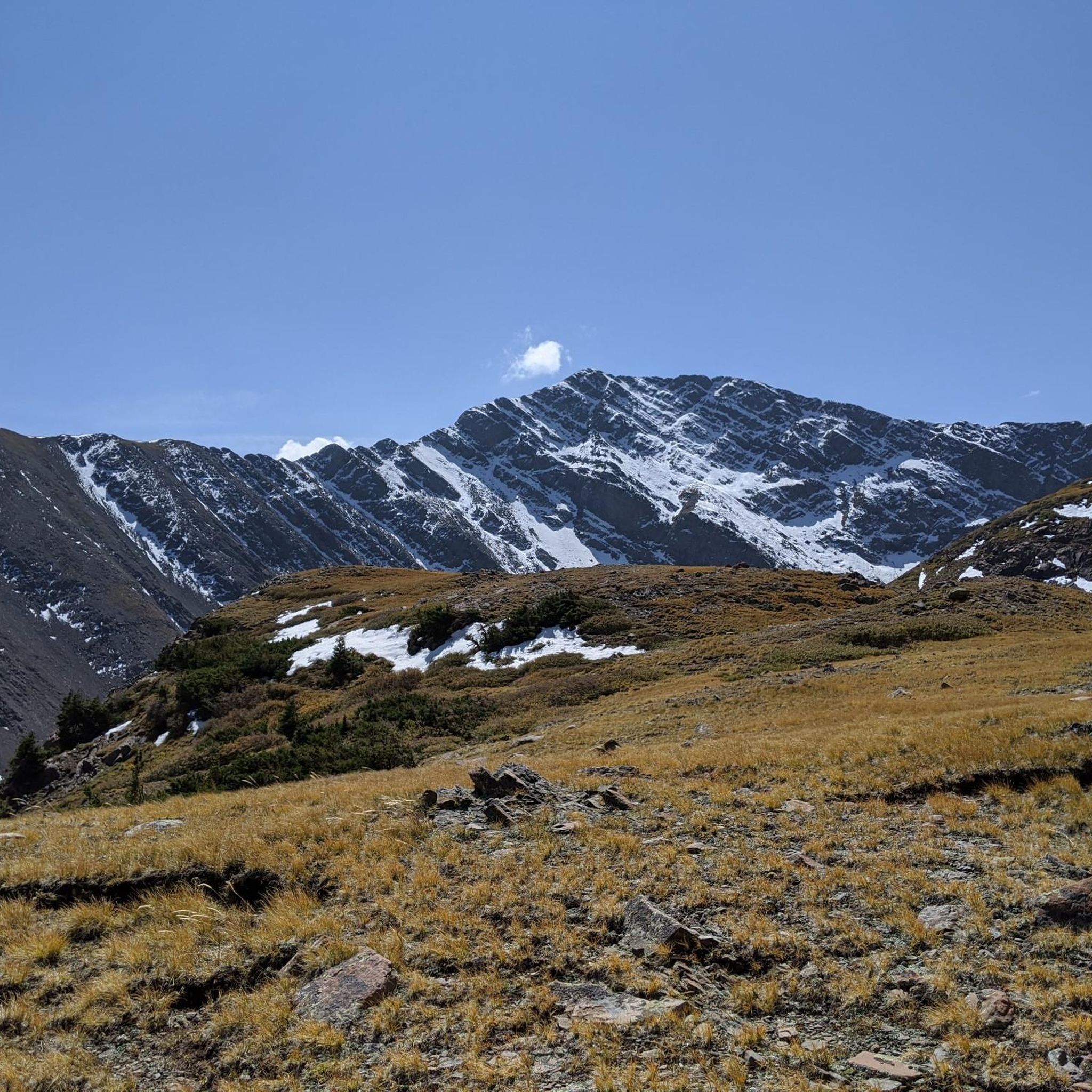
North Taylor Road continues up a narrow valley heading towards Rito Alto Peak. The trail gets rockier as you continue. The trail can ultimately lead to Megan Lake if there isn't snow. The best month for this trail is in June when it's dry.
0
0
There is a great trail that runs parallel to North Taylor Road. You can follow the foothills of the Sangre de Cristos and enjoy the spectacular elevated views of Westcliffe and the mountains over yonder.
0
0

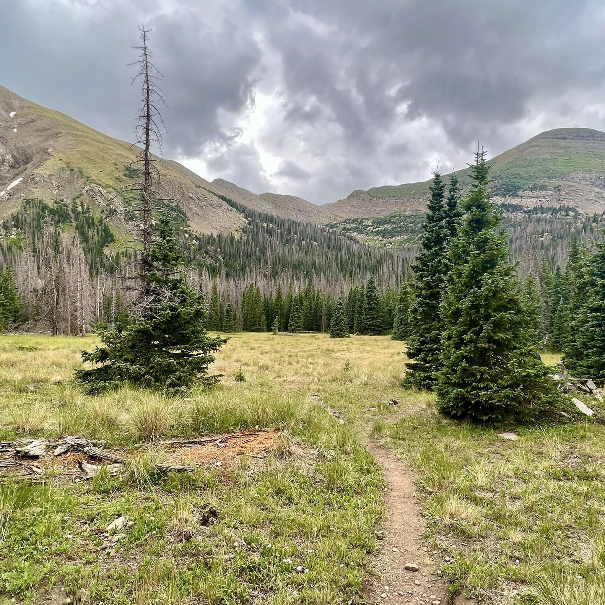
This section of Bear Creek Road is a 3 mile climb to the end of the road where the Rainbow Trails starts. It gets steep and loose near the end, but is totally rideable. There are also several dispersed campsites along Bear Creek Roads
0
0

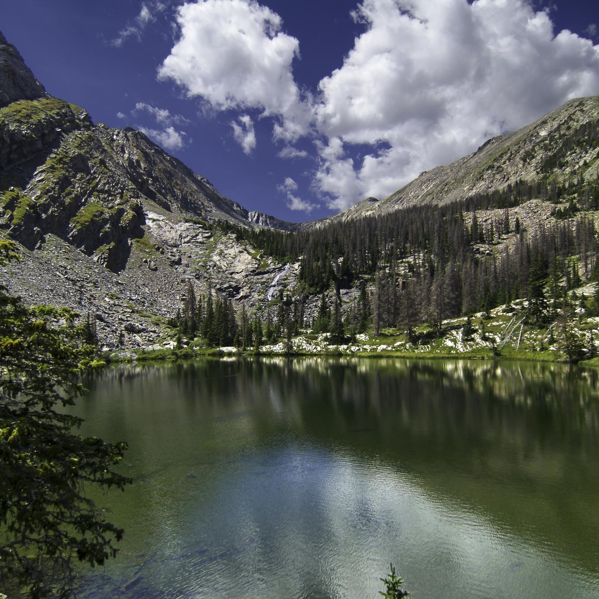
Green crystal clear water forms this lake surrounded by Pine Tree forest, contrasting with the grizzly colors of the mountain formed by rocks. Lake of the Clouds can also be a base camp to reach Spread Eagle Peak.
0
0
Frequently Asked Questions
Can I mountain bike directly within the Sangre de Cristo Wilderness Area?
No, the designated Sangre de Cristo Wilderness Area prohibits all forms of mechanized transportation, including bicycles. However, the wider Sangre de Cristo Mountains and areas bordering the wilderness offer excellent mountain biking opportunities.
What kind of terrain and difficulty can I expect on mountain bike trails in the Sangre de Cristo Mountains?
The region features diverse terrain, from flat sections to steep climbs with rocks and roots, and significant elevation gains that can exceed 3,000 feet. Trails range from easy to difficult, with some portions requiring riders to push their bikes. Overall, there are over 25 mountain bike routes available, with 3 easy, 9 moderate, and 14 difficult options.
Are there any easy mountain bike trails for beginners in the Sangre de Cristo Mountains?
Yes, there are a few easier options. For instance, North Taylor Road is an easy 4-mile (6.4 km) route that offers a more gentle introduction to mountain biking in the area.
Where can I find more challenging mountain bike trails in the Sangre de Cristo Mountains?
For a more challenging experience, consider routes like the Bear Creek, Rainbow and Columbine Trail Loop. This difficult 8.2-mile (13.3 km) route involves significant elevation changes and technical sections. There are 14 difficult routes in total for experienced riders.
Are there any mountain bike trails that lead to scenic alpine lakes or waterfalls?
Yes, several trails offer access to stunning natural features. The Lake of the Clouds via Swift Creek Trail is a moderate 8.8-mile (14.2 km) route known for leading to beautiful alpine lakes. You can also find attractions like Venable Falls and Willow Lake in the broader region, which are accessible via hiking trails.
What do other mountain bikers enjoy the most about mountain biking in the Sangre de Cristo Mountains?
The area is highly rated by the komoot community, with an average score of 3.7 stars from over 4 reviews. Reviewers often praise the diverse terrain, from high-elevation forests to alpine lakes and rugged mountain passes, and the opportunities to experience challenging climbs and technical sections.
Are there any loop mountain bike trails in the Sangre de Cristo Mountains?
Yes, there are loop options available. The Rainbow Trail and Hermit Pass Loop is a popular moderate 6.5-mile (10.5 km) path that provides a classic loop experience through forests and green meadows.
What is the best time of year for mountain biking in the Sangre de Cristo Mountains?
The best time for mountain biking is typically during the warmer months, from late spring through early autumn, when trails are free of snow and ice. Always check local weather conditions before heading out, as high-elevation areas can experience sudden changes.
Can I bring my dog on mountain bike trails in the Sangre de Cristo Mountains?
Dog policies can vary depending on the specific trail and land management agency. While the designated Wilderness Area has strict rules, many trails in the broader Sangre de Cristo Mountains may allow dogs, often requiring them to be on a leash. Always check specific trail regulations before you go.
Are there any notable natural features or viewpoints accessible by mountain bike?
Beyond the alpine lakes and waterfalls, the region is known for its dramatic mountain peaks, including several 'fourteeners' (peaks over 14,000 feet) like Humboldt Peak and Ellingwood Point. While these specific summits are typically hiking destinations, the mountain bike trails often offer panoramic views of these rugged landscapes.
What kind of wildlife might I encounter while mountain biking?
The Sangre de Cristo Mountains are home to diverse wildlife, including elk, deer, bighorn sheep, black bears, and mountain lions. Riders should be aware of their surroundings, practice responsible riding, and give wildlife ample space.
Are there any specific permits or fees required for mountain biking in the Sangre de Cristo Mountains?
While mountain biking is prohibited in the designated Wilderness Area, trails outside of it generally do not require specific permits for riding. However, some trailheads or parking areas may have fees. It's always best to check with the local land management office for the most current information regarding any required permits or fees for your chosen route.
Most popular routes in Sangre De Cristo Wilderness
Most popular attractions in Sangre De Cristo Wilderness

Get inspired with the komoot mobile app


