The best gravel rides around South Deerfield
5.0
(3)
59
riders
13
rides
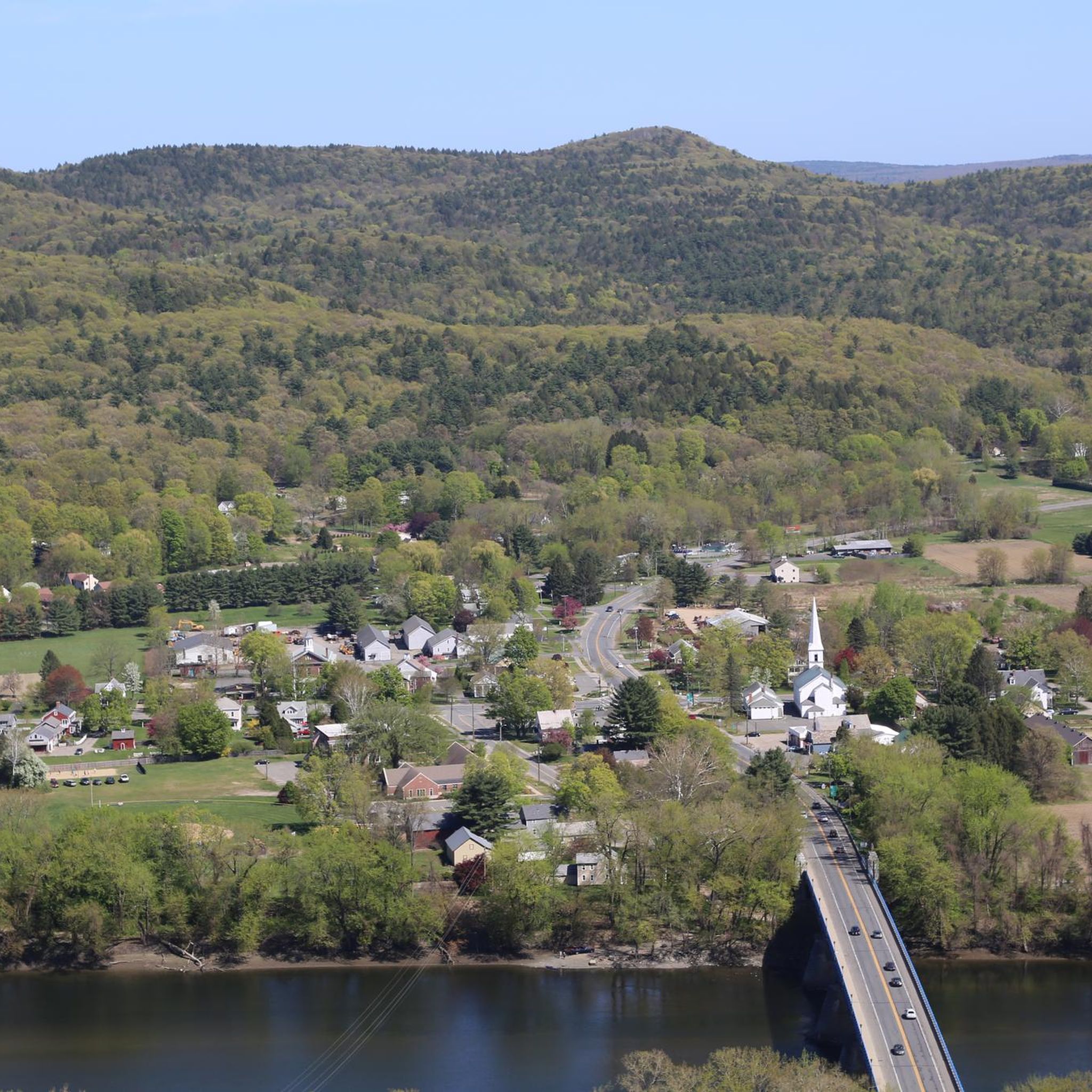
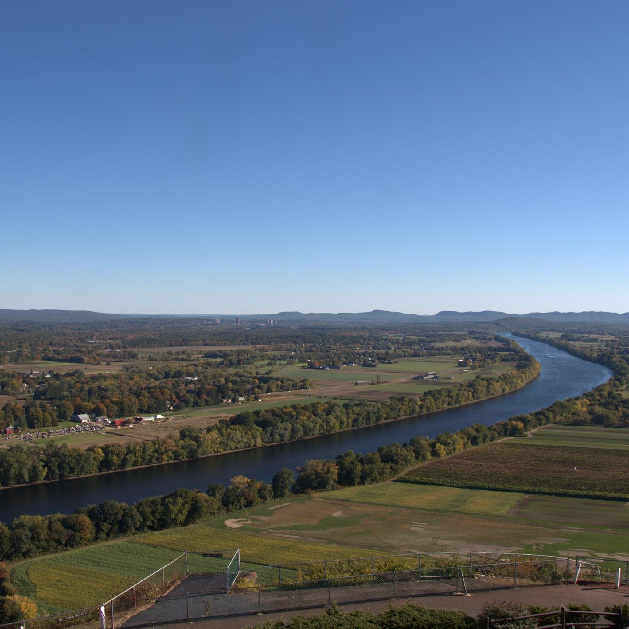
Gravel bike trails around South Deerfield are situated within the Connecticut River Valley, offering a diverse landscape for cycling. The region features a mix of river valleys, ridgeline cliffs, and extensive woodlands, with the Pocumtuck Range providing varied elevations. This terrain includes numerous dirt roads, making it suitable for gravel biking. The area is known for its natural features, including the Deerfield River and Mount Sugarloaf, which contribute to the scenic routes.
Best gravel bike trails around South Deerfield
- The most popular gravel bike trail is Puffers Pond – Atkins Reservoir loop from North Amherst, a 23.2 miles (37.3 km) trail that takes 2 hours 42 minutes to complete, featuring challenging terrain around reservoirs.
- Another top favourite among local gravel bikers is Eunice Williams Covered Bridge – Green River Road, Colrain loop from Connecticut River Greenway State Park, a difficult 49.0 miles (78.9 km) path. This route offers extensive riding through varied landscapes, including a historic covered bridge.
- Local gravel bikers also love the View of Leverett Pond – Atkins Reservoir loop from Sawmill River Access, a 31.2 miles (50.3 km) trail leading through forested areas and past water bodies, often completed in about 3 hours 22 minutes.
- Gravel biking around South Deerfield is defined by rolling hills, river valleys, and extensive dirt roads. The network offers options for different ability levels, from moderate to difficult routes.
- The routes in South Deerfield are highly rated by the komoot community with an average score of 5.0 stars. More than 60 gravel bikers have used komoot to explore South Deerfield's varied terrain.
Last updated: October 14, 2026
5.0
(2)
9
riders
37.3km
02:40
480m
480m
Hard gravel ride. Very good fitness required. Mostly paved surfaces. Suitable for all skill levels.
13
riders
Hard gravel ride. Very good fitness required. Mostly paved surfaces. Suitable for all skill levels.

6
riders
50.3km
03:19
650m
650m
Hard gravel ride. Very good fitness required. Mostly paved surfaces. Suitable for all skill levels.
3
riders
24.1km
01:55
530m
530m
Hard gravel ride. Very good fitness required. Mostly paved surfaces. Suitable for all skill levels.
3
riders
Hard gravel ride. Very good fitness required. Mostly paved surfaces. Suitable for all skill levels.
Get access to more routes and recommendations from other explorers.
Already have an account?
Our route recommendations are based on thousands of hikes, rides, and runs completed by other people on komoot.
Start today with a free account
Your next adventure awaits.


Tips from the Community

There is a small green space near bridge that is a great place to stop for a snack or lunch.
0
0

Mill River is part of the Cushman Brook and flows through to the Cushman Brook Conservation Area and the Mill River Conservation Area. This river is in a thickly forested area in a ravine. Some of this protected area was donated and some was purchased. Visiting Mill River is a family-friendly get-away into nature open for the public to enjoy.
0
0

As you ride along the crystal-clear waters of the Green River, surrounded by the picturesque landscape of this stunning region, take a moment to immerse yourself in the natural beauty surrounding you. In the fall, the foliage of the trees adds to the already spectacular scenery of this wondrous place.
0
0

Just at the boundary of Poland Brook Wildlife Management Area on Main Poland Road, you ride through a small notch in a large rocky cliff band. This is a neat bit of riding on a quiet, and scenic road.
0
0
From this spot on Williamsburg Road, you can see Chapel Ledge and Chapel Falls. Chapel Ledge is a little harder to see because it's a fairly tall, peak almost directly above you in the trees. You can see, however, the trailhead for a hiking trail to the top of it here. Chapel Falls is a small, but pretty waterfall below you in Chapel Brook. This is a nice spot to pause and snap a few photos but be aware of cars coming and going from the trailhead.
0
0
Mill River is part of the Cushman Brook and flows through to the Cushman Brook Conservation Area and the Mill River Conservation Area. This river is in a thickly forested area in a ravine. Some of this protected area was donated and some was purchased. Visiting Mill River is a family-friendly get-away into nature open for the public to enjoy.
0
0
Puffers Pond is a popular 11-acre pond in Amherst. This freshwater pond is the largest body of water in the town and has sandy beaches for swimming and places where you can launch a canoe. There are trails that encircle it that you can hike, bird, and fish along. This is a nice place to stop as you ride around the area.
1
0

On this side of Depot Road, you can enjoy a good view of Leverett Pond from its boat launch point. The bottom of this pond is completely covered by submerged vegetation.
0
0
Frequently Asked Questions
How many gravel bike trails are available around South Deerfield?
There are over 20 gravel bike trails available around South Deerfield, offering a variety of experiences for cyclists. The region is known for its diverse terrain, including river valleys, ridgeline cliffs, and extensive woodlands.
What is the general difficulty level of gravel biking in South Deerfield?
The gravel biking routes in South Deerfield primarily range from moderate to difficult. Out of the available trails, 7 are considered moderate and 13 are classified as difficult, providing challenging options for experienced riders.
What kind of landscapes can I expect to see while gravel biking in South Deerfield?
You can expect a rich tapestry of landscapes, including the picturesque Connecticut River Valley, the dramatic Pocumtuck Range, and extensive woodlands. The Deerfield River meanders through the area, and prominent features like Mount Sugarloaf offer stunning panoramic views, making for very scenic rides.
Are there any notable natural features or viewpoints along the gravel routes?
Yes, several routes offer access to significant natural features and viewpoints. You can find scenic spots like View of the Connecticut River, and pass by beautiful water bodies such as Atkins Reservoir and Puffers Pond. The area also features prominent summits like Mount Toby and South Sugarloaf Mountain, which contribute to the varied terrain.
What do other gravel bikers say about the trails in South Deerfield?
The gravel biking routes in South Deerfield are highly rated by the komoot community, with an average score of 5.0 stars. Riders often praise the varied terrain, the challenging nature of the routes, and the beautiful natural scenery, especially around the reservoirs and forested areas.
Are there any loop routes for gravel biking in South Deerfield?
Yes, many of the gravel routes in South Deerfield are designed as loops. For example, the Puffers Pond – Atkins Reservoir loop from North Amherst is a popular choice, as is the View of Leverett Pond – Atkins Reservoir loop from Sawmill River Access, both offering circular journeys through scenic areas.
Which routes are good for exploring historic landmarks or unique features?
The Eunice Williams Covered Bridge – Green River Road, Colrain loop from Connecticut River Greenway State Park is an excellent choice for exploring unique features, as it includes a historic covered bridge and extensive riding through varied landscapes. The region itself is rich in history, with the Deerfield River Valley shaped by significant geological events.
What is the best season for gravel biking in South Deerfield?
South Deerfield offers great gravel biking opportunities across multiple seasons. Spring and fall are particularly popular due to comfortable temperatures and vibrant foliage. However, the extensive network of dirt roads makes it enjoyable for much of the year, though conditions can vary with snow or heavy rain.
Are there any less crowded gravel routes in the South Deerfield area?
While some popular routes can see more traffic, the extensive trail system and numerous dirt roads throughout the Connecticut River Valley and Pocumtuck Range mean you can often find quieter paths. Exploring routes that venture deeper into the woodlands or less-traveled sections of the D2R2 network can lead to a more secluded experience.
Where can I find parking for gravel biking trails in South Deerfield?
Parking availability varies by trailhead. Many routes, especially those starting from state parks or designated access points like the Connecticut River Greenway State Park or Sawmill River Access, typically offer parking facilities. It's advisable to check the specific route details on komoot for recommended starting points and parking information.
Are there any routes that offer views of the Connecticut River?
Yes, the region is nestled within the Connecticut River Valley, and several routes provide scenic views of the river. The View of the Connecticut River is a specific highlight you might encounter, and routes originating from the Connecticut River Greenway State Park often follow its banks.
What is the longest gravel biking route available in the area?
One of the longest routes in the area is the Eunice Williams Covered Bridge – Green River Road, Colrain loop from Connecticut River Greenway State Park, which spans approximately 49.0 miles (78.9 km) and is considered a difficult ride.
Can I find routes that are suitable for advanced gravel bikers?
Absolutely. South Deerfield is well-regarded for its challenging gravel routes, with 13 of the available trails classified as difficult. Routes like the View of the Hilltop Trees – Rock notch in Main Poland Road loop from South Deerfield, with significant elevation gain, cater to advanced riders seeking a demanding experience.
Most popular attractions around South Deerfield

Get inspired with the komoot mobile app


Explore more
Browse the best Gravel rides in other regions.
