The best road cycling routes around South Deerfield
4.4
(12)
207
riders
18
rides
Road cycling routes around South Deerfield traverse the scenic Connecticut River Valley, characterized by rolling hills, agricultural landscapes, and views of prominent features like Mount Sugarloaf. The terrain offers a mix of flat sections along the river and gentle ascents into the surrounding uplands. Road cyclists can expect routes that wind through rural communities and past natural landmarks. The area provides varied surfaces suitable for road bikes, from paved country roads to sections that may include rail trails.
Best road…
Last updated: July 2, 2026
5.0
(4)
42
riders
Moderate road ride. Good fitness required. Mostly well-paved surfaces and easy to ride.
17
riders
This road cycling route offers a fantastic blend of flat, scenic riding and a challenging climb, making it one of the more diverse Connecticut River loop cycling routes. You'll start…

Sign up for free
16
riders
36.5km
01:33
150m
150m
This easy road cycling loop, the View of the Connecticut River loop from Mount Sugarloaf State Reservation, guides you through the picturesque Connecticut River Valley. You'll pedal past broad fields…
5
riders
Moderate road ride. Good fitness required. Some segments of this route may be unpaved and difficult to ride.
5
riders
32.2km
01:32
230m
230m
Easy road ride. Great for any fitness level. Mostly well-paved surfaces and easy to ride.
Get access to more routes and recommendations from other explorers.
Sign up for free
Already have an account?
Our route recommendations are based on thousands of hikes, rides, and runs completed by other people on komoot.
Start today with a free account
Your next adventure awaits.
Login or Signup
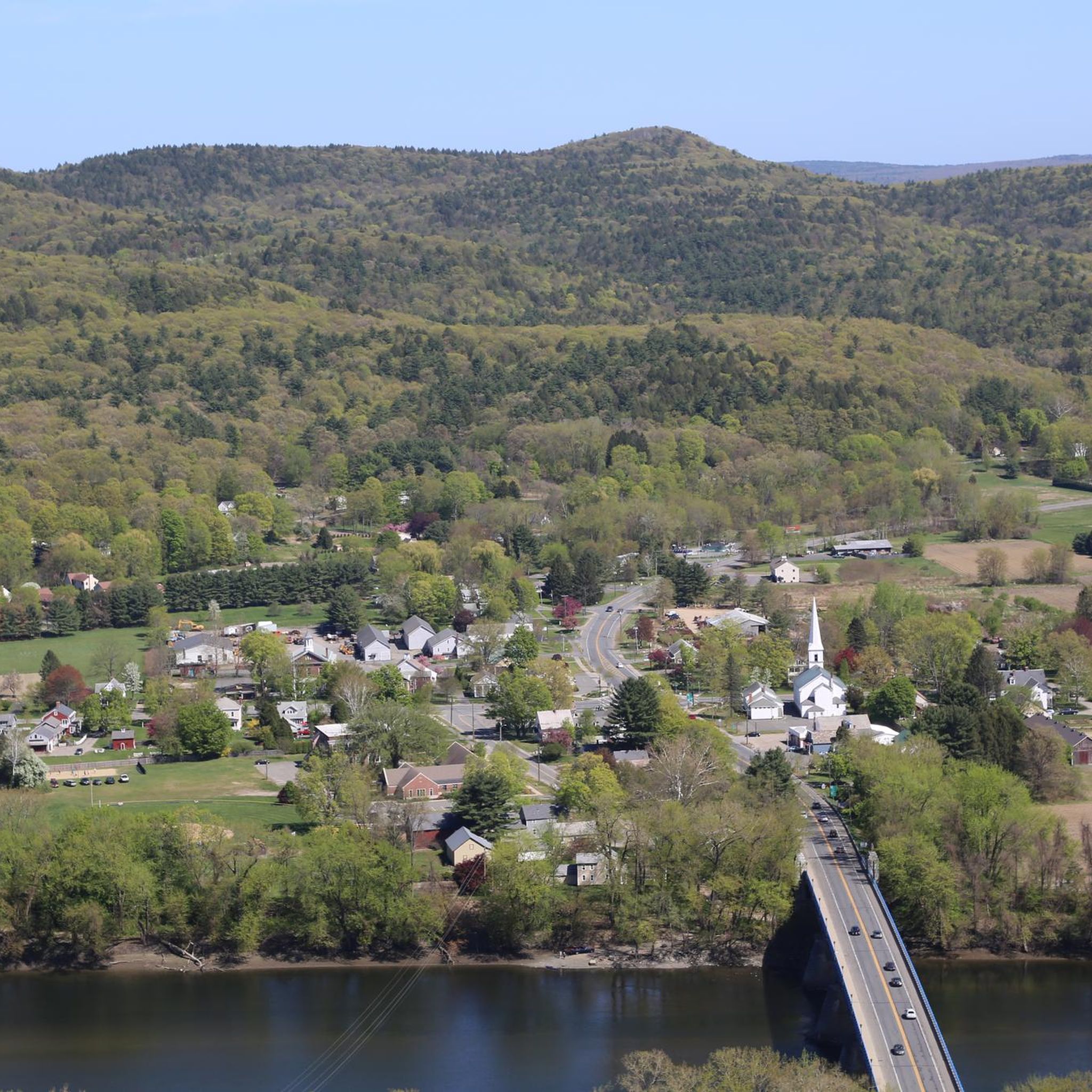
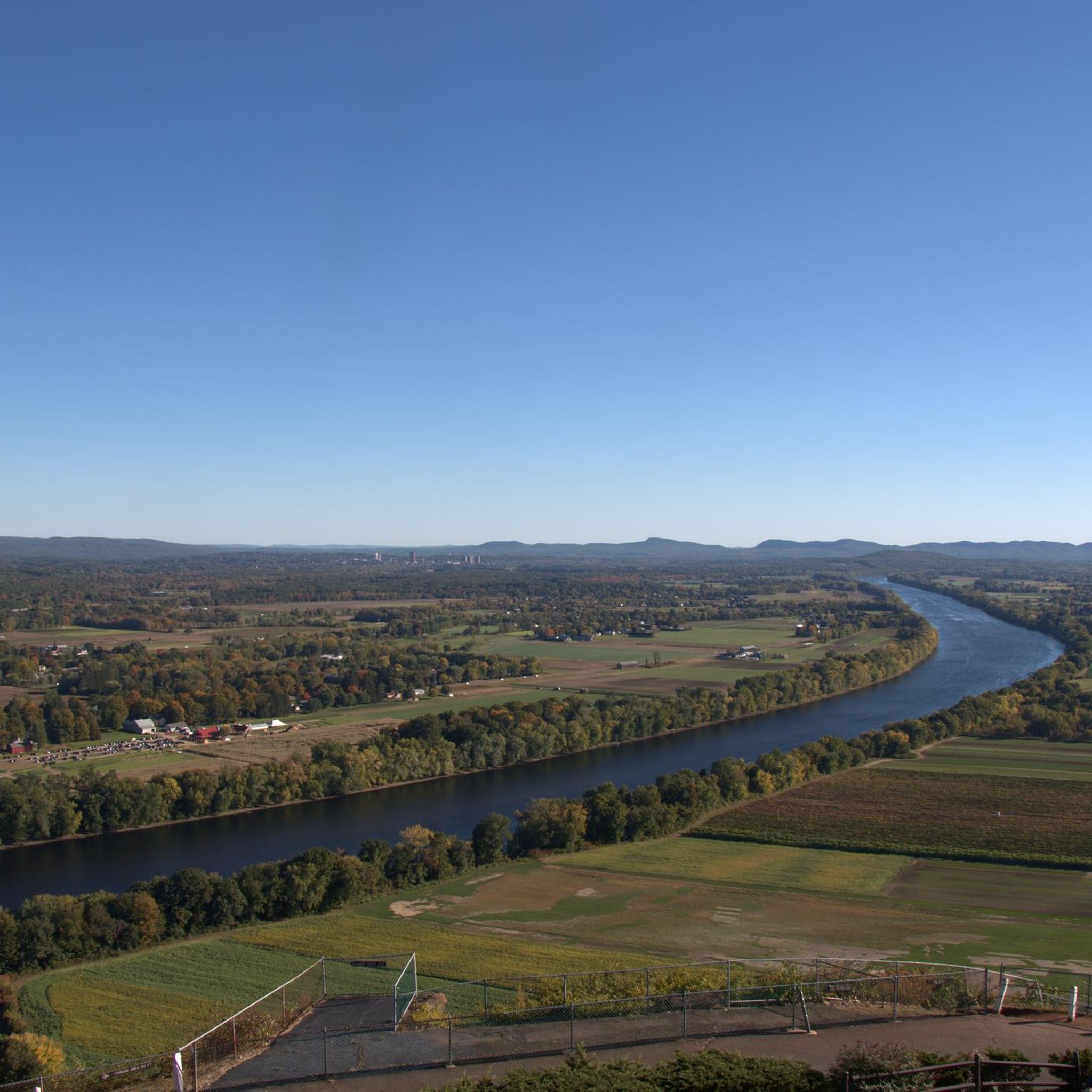

Tips from the Community

The Connecticut River Greenway connects quite a few parks that are situated along the Connecticut River. There are about 8 parks along this greenway as you follow it across the state.
0
0

This multi-tiered roadside waterfall isn't very large, but it's quite pretty.
0
0


Stillwater Bridge on Upper Road gives you fantastic views over the Deerfield River. This is a beautiful spot to pause and take in the views over the water as you ride around the area.
0
0
Barrett St. Marsh is a small protected wetland in Northhampton, Massachusetts. This is a great place to slow down as you ride and look for birds, turtles, frogs, and other animals that live in the marsh. Be aware in the spring of turtles crossing the road to lay eggs!
0
0
The Great Swamp Wildlife Management Area is composed of a multitude of land parcels that lie in the flatlands of the Mill River. Mainly a swamp, interspersed with hardwood, it makes for a pleasant distant vista as you cycle by.
0
0
The Connecticut River Greenway connects quite a few parks that are situated along the Connecticut River. There are about 8 parks along this greenway as you follow it across the state.
0
0
The Connecticut River starts just south of the Canadian border in New Hampshire and runs 406 miles to Long Island Sound. The Connecticut section of the river is 65.5 miles from the Massachusetts border to the headwaters at Old Saybrook Point.
0
0
Frequently Asked Questions
How many road cycling routes are available around South Deerfield?
There are over 15 road cycling routes available around South Deerfield, offering a variety of distances and difficulty levels for cyclists to explore.
What are the general characteristics of road cycling in South Deerfield?
Road cycling in South Deerfield is defined by the scenic Connecticut River Valley, featuring a mix of rolling hills, agricultural landscapes, and views of prominent features like Mount Sugarloaf. Routes often wind through rural communities on paved country roads.
Are there road cycling routes suitable for beginners in South Deerfield?
Yes, South Deerfield offers several routes suitable for beginners. For example, the Norwottuck Rail Trail Bridge – View of the Connecticut River loop from Mount Sugarloaf State Reservation is an easy 28.0-mile (45.0 km) trail that leads through the Connecticut River Valley.
Are there challenging road cycling routes for experienced cyclists?
While many routes are moderate, there is at least one difficult road cycling route available for experienced cyclists seeking a greater challenge. These routes typically feature more significant elevation gains and longer distances.
Can I find loop road cycling routes in South Deerfield?
Yes, many of the road cycling routes in South Deerfield are designed as loops, allowing you to start and finish at the same point. Examples include the Whitmore Pond Waterfall – View of the Connecticut River loop from Mount Sugarloaf State Reservation and the Turner's Falls Bridge – Whitmore Pond Waterfall loop from Mount Sugarloaf State Reservation.
What scenic viewpoints can I expect on road cycling routes in South Deerfield?
Many routes offer stunning views, particularly of the Connecticut River. You can also find routes that provide vistas from areas like Mount Sugarloaf State Reservation. The View of the Connecticut River is a notable highlight.
Are there any interesting landmarks or attractions to see along the road cycling routes?
Yes, road cycling routes in the area often pass by or offer access to interesting landmarks. You might encounter natural features like Mount Toby or South Sugarloaf Mountain, and some routes feature Whitmore Pond Waterfall.
Do any routes pass by waterfalls?
Yes, some routes incorporate natural features like waterfalls. The Whitmore Pond Waterfall – View of the Connecticut River loop from Mount Sugarloaf State Reservation is a moderate route that specifically passes by Whitmore Pond Waterfall.
What is the best time of year for road cycling in South Deerfield?
The best time for road cycling in South Deerfield is typically from spring through fall (April to October), when the weather is mild, and the foliage offers beautiful scenery. Summer provides warm temperatures, while autumn brings vibrant fall colors.
What do other road cyclists enjoy about the routes in South Deerfield?
The road cycling routes in South Deerfield are highly rated by the komoot community, with an average score of 5.0 stars. Cyclists often praise the varied terrain, scenic views of the Connecticut River, and the peaceful rural roads.
Are there any routes that explore the Connecticut River Greenway State Park?
Yes, some routes may offer access to or views of the Connecticut River Greenway State Park, providing opportunities to experience this natural area while cycling.
Can I find routes that include sections of rail trails?
Yes, some road cycling routes in South Deerfield may incorporate sections that include rail trails, offering varied surfaces and potentially flatter, more accessible stretches. The Norwottuck Rail Trail Bridge – View of the Connecticut River loop from Mount Sugarloaf State Reservation is an example.
Most popular routes around South Deerfield
Most popular attractions around South Deerfield

Get inspired with the komoot mobile app


Explore more
Browse the best Road cycling routes in other regions.
