The best gravel rides around Sedalia
4.8
(7)
152
riders
5
rides
Gravel biking around Sedalia, Colorado, offers routes through varied terrain, including regional trail systems and areas near reservoirs. The landscape features rolling hills and open spaces, with routes often incorporating significant elevation changes. This region provides a mix of moderate and challenging gravel bike trails suitable for different skill levels.
Best gravel bike trails around Sedalia
- The most popular gravel bike trail is Highlands Point Trail System – Highlands Point Viewpoint loop from ThunderRidge High School, a 16.7 miles…
Last updated: July 12, 2026
23
riders
Moderate gravel ride. Good fitness required. Mostly paved surfaces. Suitable for all skill levels.
4.5
(2)
15
riders
23.7km
01:55
310m
310m
Moderate gravel ride. Good fitness required. Mostly paved surfaces. Suitable for all skill levels.

Sign up for free
5.0
(5)
51
riders
Moderate gravel ride. Good fitness required. Mostly paved surfaces. Suitable for all skill levels.
14
riders
Moderate gravel ride. Good fitness required. Mostly paved surfaces. Suitable for all skill levels.
7
riders
Moderate gravel ride. Good fitness required. Mostly paved surfaces. Suitable for all skill levels.
Our route recommendations are based on thousands of hikes, rides, and runs completed by other people on komoot.
Start today with a free account
Your next adventure awaits.
Login or Signup



Tips from the Community

The "Waterton Canyon Recreation Area" trailhead sign here marks the Colorado Trail's Northern Terminus. It's a photo opportunity for thru-hikers continuing all the way south to Durango, a journey that stretches almost 500 miles.
0
0


Dad Clark Natural Area runs along Dad Clark Gulch in Highlands Ranch. It features a mix of paved and dirt paths with open views and gentle climbs, winding alongside small familly frien parks—a nice, low-key spot for a ride.
0
0


This is the trail head for segment 1 of the Colorado Trail. There is a vault toilet and parking at the trail head.
0
0

View from the gravel section of the Dam Trail. Nice views of the foothills and the suburbs from the Dam Trail.
0
0
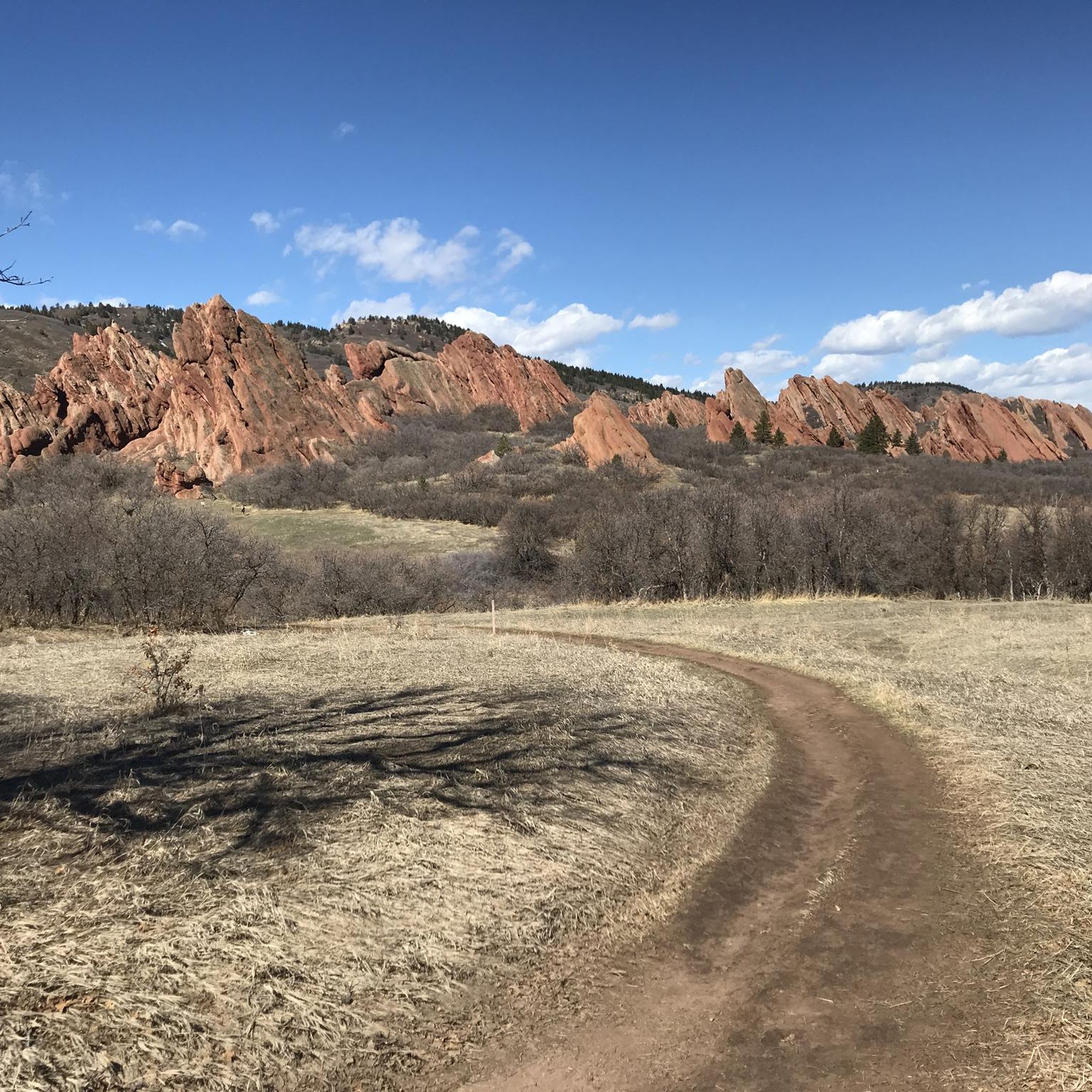
Great view of the Front Range, always at good spot to stop and take in the view.
0
0

This is a relatively gentle multi-use trail; you could probably get by with a gravel bike, but it's definitely not made for skinny tires. Altogether the trail is about 27 miles one-way, and there are easily a half-dozen trail connectors to help you shape the perfect ride.
0
0
Frequently Asked Questions
How many gravel bike trails are available around Sedalia?
There are 7 gravel bike trails documented around Sedalia on komoot, offering a range of experiences from moderate to difficult. These routes are highly rated by the komoot community.
What is the typical terrain and elevation like on Sedalia's gravel routes?
Gravel biking around Sedalia features varied terrain, including regional trail systems and areas near reservoirs. You can expect rolling hills and open spaces, with routes often incorporating significant elevation changes. For example, the Rueter-Hess Reservoir – Wildcat Point Overlook loop has over 700 meters of elevation gain.
Are there any family-friendly gravel bike trails in Sedalia?
While the listed routes are generally moderate to difficult, many regional trail systems offer sections suitable for families. For a less strenuous option, consider exploring parts of the Highlands Point Trail System, which features moderate climbs and scenic viewpoints that can be enjoyed at a leisurely pace.
Can I bring my dog on the gravel trails around Sedalia?
Many regional trails in Colorado are dog-friendly, but regulations can vary by specific park or trail system. It's always best to check the local rules for the specific trail you plan to ride. Generally, dogs should be kept on a leash and owners are responsible for waste removal.
What kind of landmarks or viewpoints can I expect to see along the gravel routes?
Sedalia's gravel routes offer several scenic viewpoints and natural features. You can find highlights like Rock Park, Lyons Overlook, and the Daniels Park Wagon Trail View Point. Some routes, like the Rueter-Hess Reservoir loop, also offer views of the reservoir.
Are there any loop trails for gravel biking in Sedalia?
Yes, many of the gravel routes around Sedalia are designed as loops. Popular options include the Highlands Point Trail System – Highlands Point Viewpoint loop and the East/West Regional Trail loop, both offering circular rides.
Where can I park when accessing gravel trails in Sedalia?
Many routes start from local high schools, such as ThunderRidge High School or Rock Canyon High School, which often provide parking facilities. It's advisable to check specific parking availability for your chosen trailhead before you go.
What is the best time of year for gravel biking in Sedalia?
The best time for gravel biking in Sedalia generally aligns with the milder seasons, such as spring and fall, when temperatures are comfortable and the scenery is vibrant. Summer can also be good, but be prepared for warmer temperatures and potential afternoon thunderstorms. Winter riding is possible but may require appropriate gear for colder conditions and potential snow or ice on trails.
Are there any advanced gravel biking trails for experienced riders?
Yes, for experienced riders seeking a challenge, the Rueter-Hess Reservoir – Wildcat Point Overlook loop from Rock Canyon High School is classified as difficult. This 50.9 km trail features significant elevation gain and varied terrain, making it a demanding ride.
What do other gravel bikers enjoy most about the Sedalia area?
The komoot community highly rates the gravel biking experience in Sedalia. Riders often praise the diverse terrain, the well-maintained regional trail systems, and the scenic views, especially those around the reservoirs and from various viewpoints like Highlands Point.
Are there any cafes or pubs near the gravel trails in Sedalia?
Sedalia and its surrounding areas offer various local establishments where you can refuel after your ride. While specific cafes or pubs directly on the trails are rare, you'll find options in the nearby towns and communities to grab a coffee or a meal.
Is public transport available to access gravel bike trails in Sedalia?
Public transport options directly to specific gravel trailheads in Sedalia may be limited. Most riders typically use personal vehicles to reach the starting points of these routes. It's recommended to plan your logistics accordingly.
Most popular attractions around Sedalia

Get inspired with the komoot mobile app


Explore more
Browse the best Gravel rides in other regions.
