The best gravel rides around Stanford
4.8
(24)
196
riders
31
rides
Gravel biking around Stanford offers a diverse landscape, combining urban accessibility with expansive natural open spaces. The region features a mix of paved and unpaved sections, including packed dirt, gravel paths, and rolling grasslands. Riders can explore areas with scenic bay views, marshlands, and trails winding through oak and evergreen trees. This varied terrain provides opportunities for different skill levels, from flat, less technical routes to more challenging paths in the foothills.
Best gravel bike trails around Stanford
- The most popular gravel bike trail is San Francisco Bay and Ravenswood Trail Loop, an 18.5 miles (29.7 km) trail that takes 2 hours to complete, offering scenic bay views and marshland.
- Another top favourite among local gravel bikers is Arastradero Lake – Bowl Loop Jumps loop from California Avenue, a moderate 18.0 miles (28.9 km) path. This route traverses rolling grasslands and areas with oak and evergreen trees.
- Local gravel bikers also love the San Francisco Bay Trail – Shoreline Lake loop from San Antonio, a 19.7 miles (31.7 km) trail leading through baylands and marshland, often completed in about 2 hours 20 minutes.
- Gravel biking around Stanford is defined by bay views, rolling grasslands, and open space preserves. The network offers options for different ability levels, from easy, flat routes to more challenging climbs.
- The routes in Stanford are highly rated by the komoot community with an average score of 4.4 stars from more than 10 reviews. More than 100 gravel bikers have used komoot to explore Stanford's varied terrain.
Last updated: October 14, 2026
4.0
(1)
4
riders
29.7km
02:00
40m
40m
This easy 18.5-mile gravel biking loop offers scenic views of San Francisco Bay and exceptional birdwatching in Ravenswood Open Space Preser
4.6
(5)
26
riders
30.0km
01:53
350m
350m
Moderate gravel ride. Good fitness required. Mostly paved surfaces. Suitable for all skill levels.

5.0
(1)
21
riders
Easy gravel ride. Great for any fitness level. Mostly paved surfaces. Suitable for all skill levels.
5.0
(5)
37
riders
Moderate gravel ride. Good fitness required. Mostly paved surfaces. Suitable for all skill levels.
11
riders
Easy gravel ride. Great for any fitness level. Mostly paved surfaces. Suitable for all skill levels.
Get access to more routes and recommendations from other explorers.
Already have an account?
Our route recommendations are based on thousands of hikes, rides, and runs completed by other people on komoot.
Start today with a free account
Your next adventure awaits.



Other adventures around Stanford

Tips from the Community

Enid Pearson-Arastradero Preserve offers rolling grasslands mixed with oak and evergreen trees. The trail system starts on pavement and transitions to packed dirt and gravel—great for bikes with wider tires or a solid gravel setup. Keep an eye out for deer, coyotes, and even bobcats, and take a moment to pause at one of the benches or by Arastradero Lake to enjoy the open views.
0
0


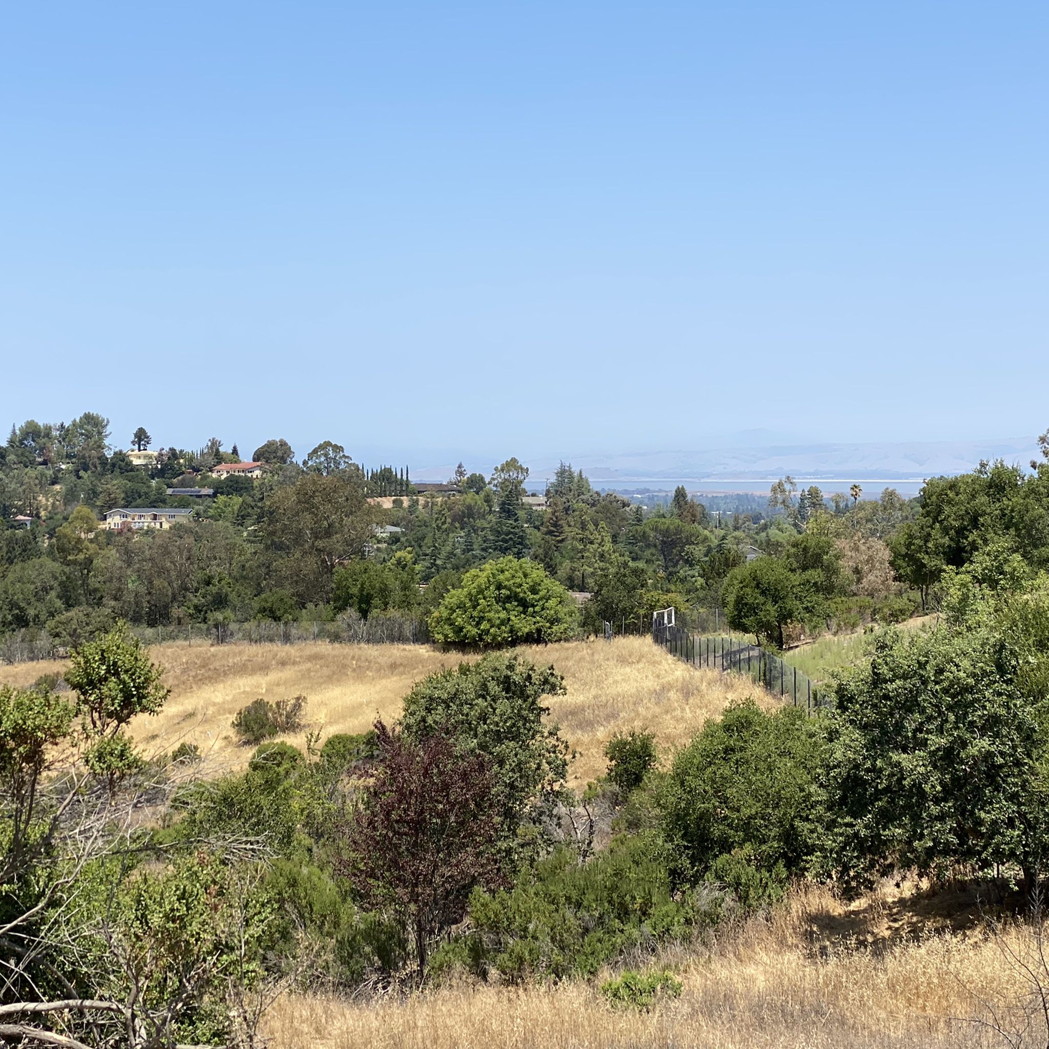
Just right off the picnic bench area lies a viewpoint of the Pearson-Arastradero Preserve. An open meadow offers views of the preserve and surrounding mountains. It's a nice shaded area for a break!
0
0

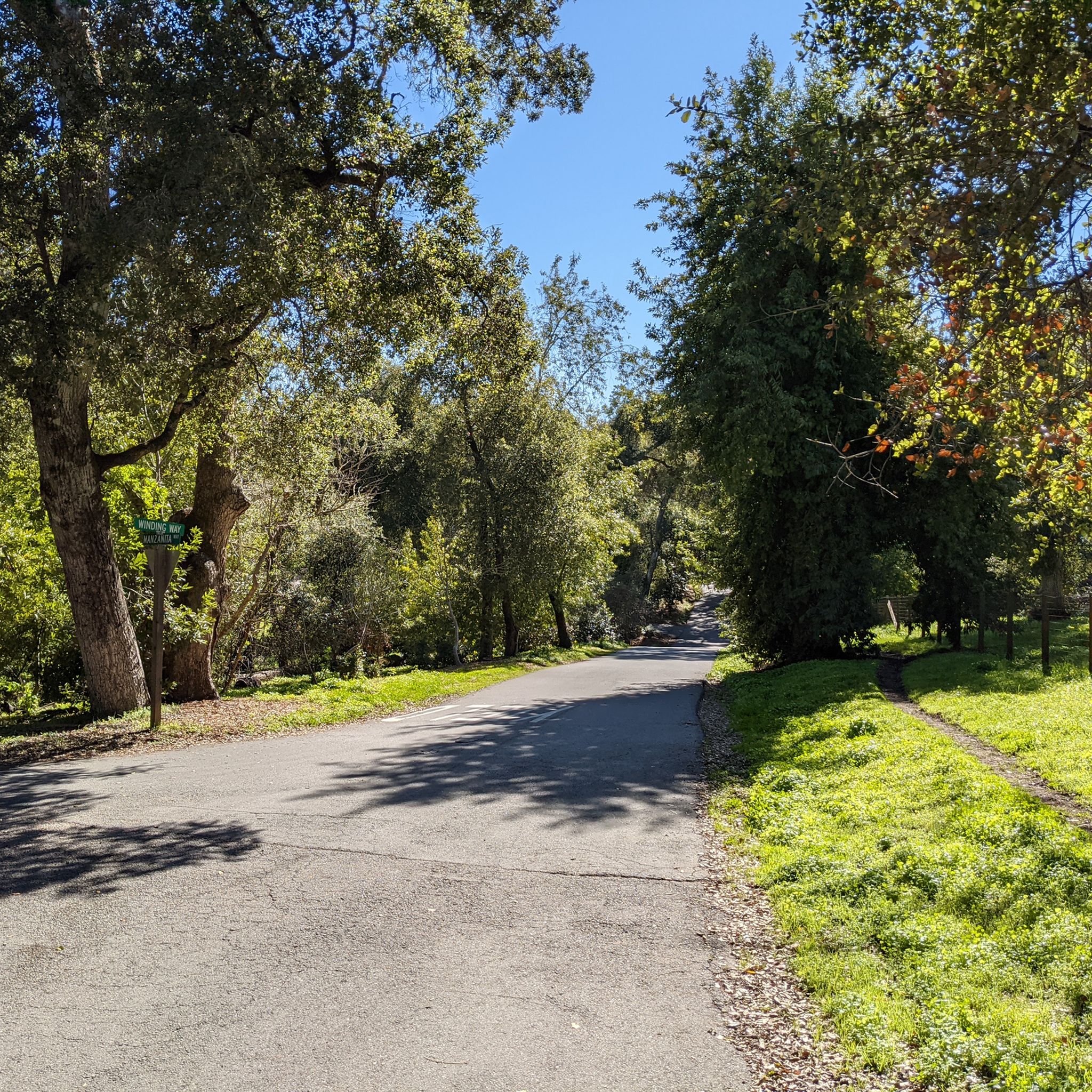
This winding side road is very lightly trafficked and carries you between Stanford and the Palo Alto hills with partial shade the entire way. On the east side of the road you will find Frenchman's Tower, and old brick landmark.
0
0

The San Francisco Bay Trail is a flat, paved trail that runs along the border of the bay. It is a great place for a run because it is traffic free and has great views.
0
0

Ravenswood is a multi-use trail that encircles a wetland on the edge of the San Francisco Bay. You are likely to encounter a high number of local and migratory bird species while exploring the area, and though noise can be an issue near the highway it gets much quieter the further out you go.
0
0
The San Francisco Bay Trail consists of over 350 miles of interconnected trails around the eponymous bay. This section, between the urban sprawl and evaporation bonds for salt mining, won't win any awards for its scenic views. However, it is a nice separate trail that allows you to ride away from road traffic.
0
0

This spot is a fantastic place to view the many American White Pelicans and other birds on the island of Adobe Creek. A lovely bench is here, ideal for taking a quiet break and capturing some beautiful photos.
0
0
Frequently Asked Questions
How many gravel bike trails are there in Stanford?
There are over 30 gravel bike trails around Stanford, catering to various skill levels. You'll find a good mix of easy, moderate, and difficult routes to explore.
What is the best time of year for gravel biking in Stanford?
The Stanford area generally offers good gravel biking conditions year-round. However, spring and fall provide particularly pleasant temperatures and vibrant scenery. Winters are mild, but some trails might be muddy after rain. Summers can be warm, so early morning or late afternoon rides are often preferred.
What do other gravel bikers enjoy most about gravel biking in Stanford?
The gravel biking routes in Stanford are highly rated by the komoot community, with an average score of 4.4 stars. Riders frequently praise the diverse terrain, from scenic bay views and marshlands to rolling grasslands and oak forests, as well as the well-maintained paths that offer a varied riding experience.
Are there easy gravel biking routes suitable for beginners in Stanford?
Yes, Stanford offers several easy gravel routes perfect for beginners. For instance, the San Francisco Bay and Ravenswood Trail Loop is an easy 18.5-mile trail offering scenic bay views and marshland, ideal for a relaxed ride. The Palo Alto Baylands Nature Preserve also provides flatter, less technical gravel trails.
Are there challenging gravel routes for advanced riders in the Stanford area?
Absolutely. For advanced riders seeking more challenging terrain, areas like the Santa Cruz Mountains and trails parallel to Skyline Boulevard offer extensive gravel routes with more significant elevation changes. Routes within the Portola Valley, such as Upper White Oak Trail and Spring Ridge Trail, also provide more demanding options.
Are there loop gravel bike trails around Stanford?
Yes, many gravel bike trails in the Stanford area are designed as loops, allowing you to start and end at the same point. A popular example is the San Francisco Bay Trail – San Francisco Bay Trail loop from California Avenue, which covers nearly 40 km and offers varied scenery.
What kind of scenery can I expect on gravel bike trails near Stanford?
Gravel bike trails near Stanford offer a rich variety of scenery. You can expect stunning bay views and marshlands along the San Francisco Bay Trail, rolling grasslands with oak and evergreen trees in areas like Arastradero Preserve, and wooded scenery with grand vistas further afield in the Santa Cruz Mountains. Wildlife sightings are also common.
Are there any less crowded gravel bike trails in Stanford?
While popular routes can see more traffic, exploring trails within the larger Open Space Preserves like Windy Hill, Los Trancos, or Monte Bello can often lead to less crowded experiences, especially on weekdays. These preserves offer extensive trail systems away from the immediate urban areas.
Are there gravel bike trails in Stanford accessible by public transport?
The Stanford campus itself is very bikable and provides good infrastructure, making it a central point for accessing many external routes. While specific public transport connections to trailheads vary, the proximity of many routes to urban centers like Palo Alto means some are reachable via local bus services or Caltrain, often requiring a short ride to the trailhead.
Are there dog-friendly gravel trails in the Stanford area?
Many open space preserves and regional parks in the Stanford area permit dogs on trails, often requiring them to be on a leash. It's always best to check the specific regulations for each preserve or park before heading out, as rules can vary.
Are there gravel bike trails near Stanford with parking?
Yes, many gravel bike trails and open space preserves around Stanford offer designated parking areas. For example, trails in Portola Valley, Palo Alto Hills, and the Palo Alto Baylands typically have parking facilities available at their trailheads or nearby access points.
Can I find cafes or places to stop along gravel bike routes in Stanford?
While many gravel routes venture into natural open spaces, routes closer to Palo Alto and the Stanford campus often pass near cafes and small towns where you can refuel. For longer rides, it's advisable to carry sufficient water and snacks, especially when exploring more remote sections of the Santa Cruz Mountains.
What natural attractions can I see along gravel bike trails around Stanford?
Along Stanford's gravel bike trails, you can encounter diverse natural attractions. The Pond SF2 with Historical Baylands Exhibit offers insights into the marshland ecosystem. Further afield, you might find viewpoints like the Byrne Preserve Lookout or even reach the Windy Hill Summit for expansive views.
Are there any historical sites or landmarks to explore near Stanford's gravel routes?
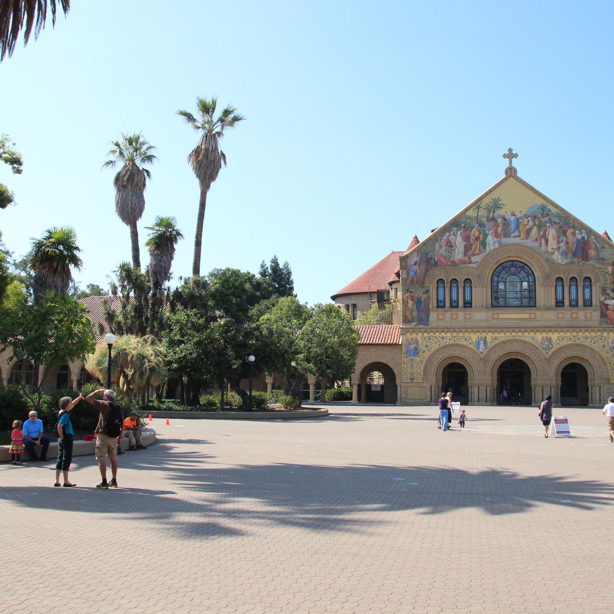
Yes, the region has several interesting historical sites. For example, the Woodside Store (Historic Site) is a notable landmark that can be incorporated into rides through the Portola Valley area. The Stanford campus itself also features historical architecture and points of interest.
Most popular attractions around Stanford

Get inspired with the komoot mobile app


Explore more
Browse the best Gravel rides in other regions.
