The best walks and hikes around Stanford
4.5
(194)
3,354
hikers
201
hikes
Hiking around Stanford offers routes through rolling foothills and oak woodlands, characteristic of the California landscape. The region provides a mix of paved paths and natural trails, with many routes situated on or near the university campus. Nearby preserves also feature marshland environments, adding topographical variety to the area.
Best hiking trails around Stanford
- The most popular hiking route is The Dish – Stanford Dish Hiking Trailhead loop from Stanford, a 3.3 miles (5.3 km) trail that takes 1 hour 31 minutes to complete. This is a paved path through the hills with open views of the campus and the surrounding area.
- Another top favourite among local hikers is Matadero Creek Pedestrian Trail — loop around Coyote Hill from Los Altos Hills, a moderate 4.6 miles (7.4 km) path. The route follows a creek and circles Coyote Hill, involving some moderate elevation gain.
- Local hikers also love the Hoover Tower – Memorial Church loop from College Terrace, a 4.7 miles (7.5 km) trail leading through the Stanford campus, often completed in about 1 hour 55 minutes.
- Hiking around Stanford is defined by paved loops in the foothills, trails along creeks, and flat walks through the university's landscaped grounds. The network of routes offers options for different ability levels, from easy campus walks to more moderate hill climbs.
- The routes in Stanford are highly rated by the komoot community with an average score of 4.4 stars from over 200 reviews. More than 3,000 hikers have used komoot to explore Stanford's varied terrain.
Last updated: October 11, 2026
5.0
(1)
5
hikers
5.52km
01:24
10m
10m
The Stanford Campus Walk offers a delightful and easy stroll through the heart of Stanford University, showcasing its stunning architecture and meticulously maintained grounds. You'll wander past iconic sandstone buildings of the Main Quad, the impressive Memorial Church, and serene green spaces like the Arizona Cactus Garden, all while enjoying a mostly flat, paved path. This 3.4-mile (5.5 km) route, with a minimal 35 feet (11 metres) of elevation gain, is a perfect way to immerse yourself in the university's heritage and design, taking about 1 hour and 23 minutes.
Planning your visit is straightforward for this easy walk; it's accessible for nearly everyone. Parking is available in various campus visitor lots, but it's a good idea to check for current regulations and availability, especially during weekdays. The trail is enjoyable year-round, but a clear day enhances the experience of the architectural details and landscaped areas. There are no permits or fees required for this public access route.
This walk provides a rich cultural and historical experience, offering a unique contrast to more traditional hiking trails in the area, such as the nearby Stanford Dish Trail. It's an excellent choice for families, history buffs, or anyone seeking a gentle outdoor activity that combines natural beauty with academic landmarks. You'll get a glimpse into the university's vibrant life and design, making it a notable option among Stanford University walking trails.
828m
00:13
0m
0m
Embark on the easy Bol Park Loop, a gentle hike spanning 0.5 miles (0.8 km) through a peaceful Palo Alto neighborhood. You will find yourself following Matadero Creek, shaded by redwood and oak trees, creating a serene atmosphere. This route involves a minimal elevation gain of just 12 feet (4 metres), making it accessible for everyone. The entire loop takes approximately 12 minutes to complete, perfect for a quick escape into nature. As you wander, look out for the charming native plant garden and the beloved Barron Park donkeys, Buddy and April, grazing nearby.
Planning your visit to the Bol Park Loop is straightforward, as the trail features paved paths suitable for walkers, cyclists, and even wheelchairs. The route is well-maintained with clear signage, ensuring an easy navigation experience. While specific parking information is not detailed, its proximity to Gunn High School indicates convenient local access points. You can expect a quick and refreshing outing, ideal for a morning stroll or an afternoon break. Don't miss the unique mini-library, creatively repurposed from an old phone booth, along the way.
This loop offers a unique blend of urban nature and local charm, setting it apart from other trails in the region. The presence of the Barron Park donkeys, Buddy and April, adds a distinctive and heartwarming element to your hike. It is a perfect example of how green spaces are integrated into residential areas, providing a valuable community resource. The trail's connection to Matadero Creek also highlights the local ecosystem, offering a glimpse into the natural waterways of Palo Alto.

5.0
(1)
55
hikers
8.12km
02:15
140m
140m
Moderate hike. Good fitness required. Easily-accessible paths. Suitable for all skill levels.
33
hikers
5.30km
01:31
130m
130m
Easy hike. Great for any fitness level. Easily-accessible paths. Suitable for all skill levels.
36
hikers
7.25km
01:50
20m
20m
Easy hike. Great for any fitness level. Easily-accessible paths. Suitable for all skill levels.
Get access to more routes and recommendations from other explorers.
Already have an account?
Our route recommendations are based on thousands of hikes, rides, and runs completed by other people on komoot.
Start today with a free account
Your next adventure awaits.

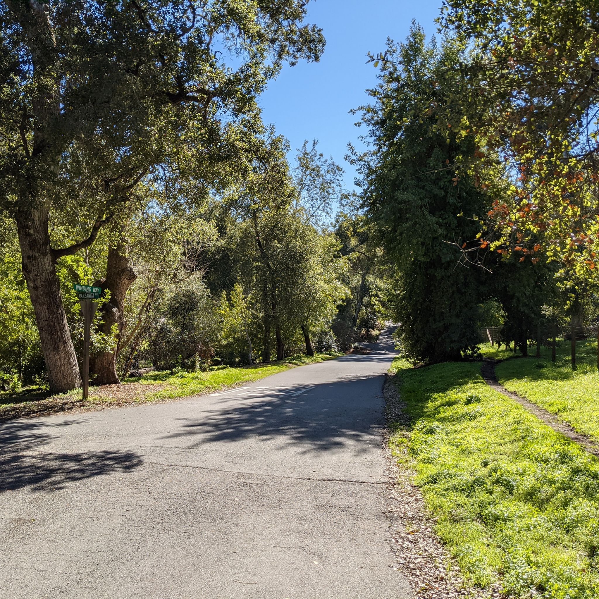
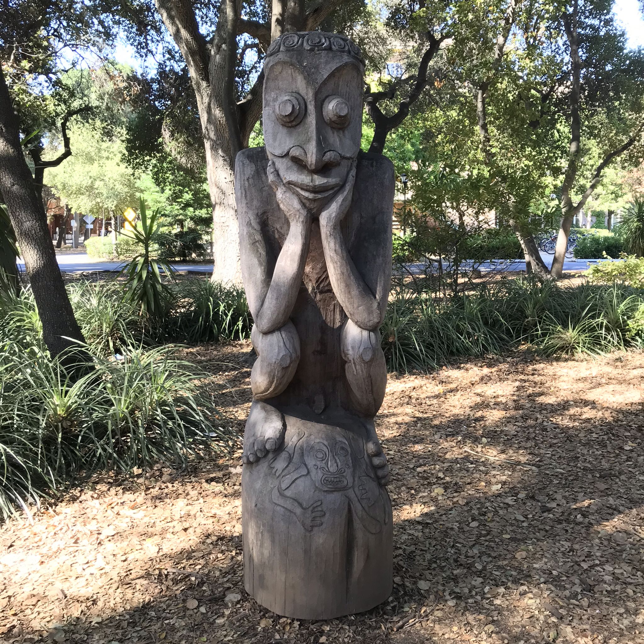

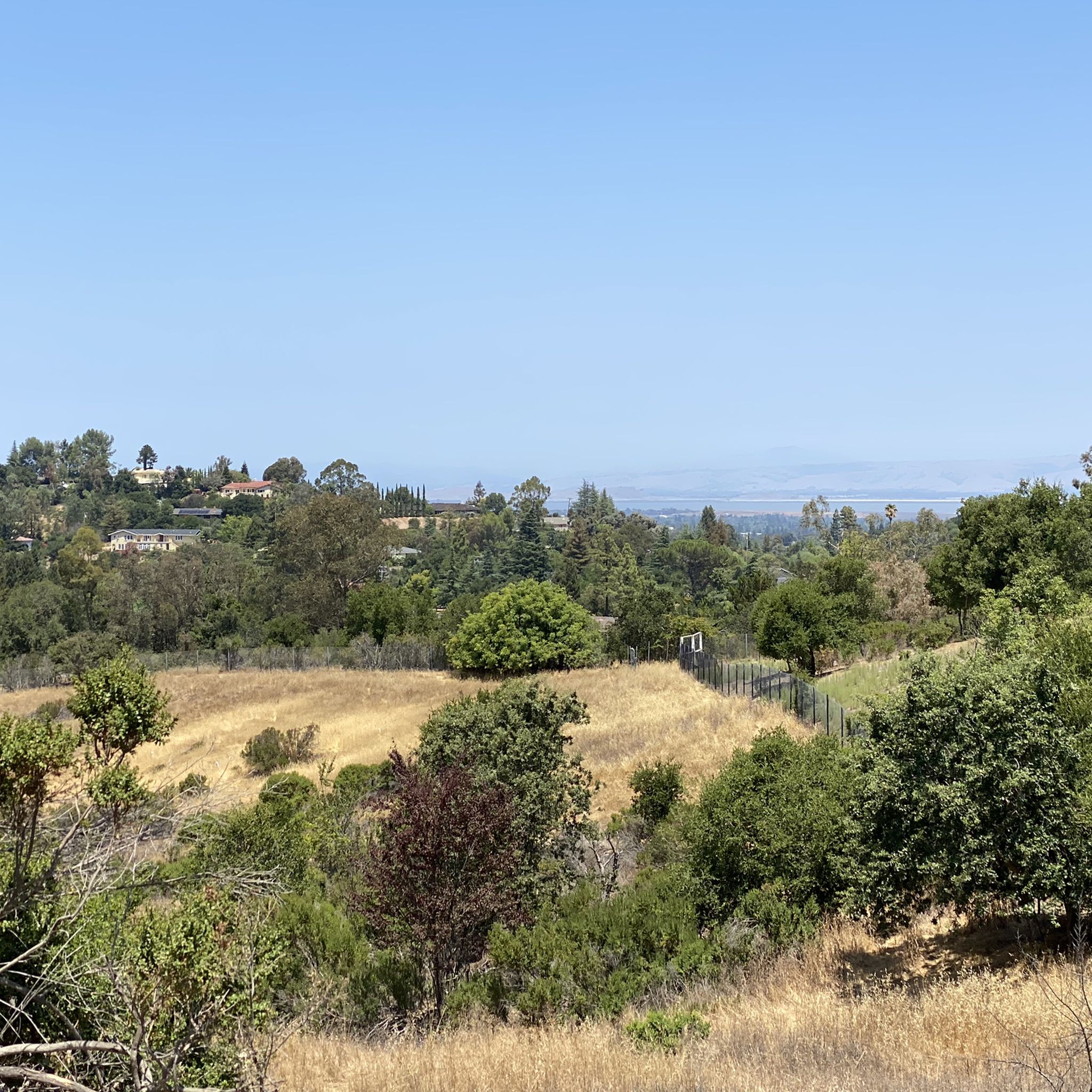
Other adventures around Stanford

Tips from the Community

The Stanford Dish hiking area—named after the iconic radio telescope perched in the foothills—is one of the most popular outdoor spots near campus. The main entry point is at Stanford Avenue and Junipero Serra Boulevard, where you’ll find a wide gate, maps, and signage outlining the loop. From the entrance, the paved trail climbs steadily into open grasslands, offering sweeping views of the Stanford campus, Santa Clara Valley, and the Santa Cruz Mountains. The trail is open to walkers, runners, and hikers (no bikes or dogs), and is especially popular in the mornings and late afternoons. There’s no shade, so bring water and sun protection. Expect rolling hills, scenic vistas, and plenty of local wildlife.
0
0

The Main Quad and Memorial Court are part of Stanford University's academic preserve. Memorial Court features The Burghers of Calais by Auguste Rodin, from the largest Rodin sculpture collection outside Paris.
1
0
The Dish, or the Stanford Dish, is a huge, 150-foot-diameter radio antenna. Built in 1961 by the Stanford Research Institute, it is still in use by the university today and is a popular hiking destination. In addition to views of the Stanford Dish, you also get panoramic views of the surrounding foothills and, on clear days, the San Francisco skyline. The area is known for its wildlife, including various bird species, so be on the lookout as you explore The Dish.
1
0

The Dish Trail is entirely paved making for a great spot to run laps or an easy hike. It is very exposed here, so you'll definitely need sunscreen and water. The trail is called the Dish Trail due to the giant satellite dish located here.
0
0

This is a public access Arboretum on the grounds of Stanford University and predates the university itself. Today the collection of native and non-native trees has more than 350 species from all over the world.
0
0


You can "climb" the Hoover Tower with the elevator and enjoy from above a view over the very generous campus area and the whole Silicon Valley.
1
0

The Hoover Tower is a tower on the grounds of Stanford University, which can also be visited. The tower itself is also widely recognized and a good landmark on the big campus. The tower is modeled after the tower of the Cathedral of Salamanca.
2
0
Frequently Asked Questions
Are there any dog-friendly hiking trails near Stanford?
Yes, several preserves in the area welcome dogs. A popular choice is the Matadero Creek Pedestrian Trail, which offers a moderately challenging loop. Additionally, Pearson-Arastradero Preserve is well-regarded for its dog-friendly policies and offers a variety of trails through open, hilly terrain. Always check the specific regulations for leash requirements before you go.
What are some easy, kid-friendly hikes in the Stanford area?
For an easy walk suitable for the whole family, consider the Hoover Tower – Memorial Church loop. This flat, 4.7-mile (7.5 km) route takes you through the heart of the university campus, passing by impressive architecture and landscaped gardens. It's a great way to explore the area at a relaxed pace.
How difficult is the Stanford Dish hike?
The main Stanford Dish trail is a paved loop that is generally considered easy to moderate. While the path is well-maintained, it includes over 500 feet of elevation gain, so you should be prepared for some steady uphill sections. The panoramic views of the campus and the Bay Area from the top make the climb worthwhile.
How long does it take to hike the Stanford Dish loop?
The primary loop trail at the Stanford Dish is about 3.7 miles (6 km) long. For most hikers, it takes approximately 1.5 to 2 hours to complete, depending on your pace and how often you stop to enjoy the views. For a longer option, you can try the Stanford Dish Radio Telescope loop from College Terrace, which is a 6-mile (9.7 km) route.
What kind of scenery can I expect at the Baylands Nature Preserve?
The Baylands Nature Preserve offers a distinctly different landscape from the rolling hills around Stanford. Here you'll find over 1,900 acres of undisturbed marshland with flat, multi-use trails. It's a prime location for bird-watching, as it's a major stopover on the Pacific Flyway, so expect to see a wide variety of bird species and enjoy expansive views of the salt marshes and the bay.
Are there good trails for beginners in Pearson-Arastradero Preserve?
Yes, Pearson-Arastradero Preserve is an excellent choice for beginners. The preserve features numerous trail options with relatively gentle terrain and no steep hills. The paths wind through open grasslands and oak woodlands, offering pleasant views without requiring a strenuous effort. It's a popular spot for a casual hike.
How can I get to the Stanford Dish trail using public transport?
The Stanford Dish is accessible without a car. You can use the free Stanford Marguerite Shuttle service, which has several lines that stop near the main entrance on Junipero Serra Boulevard. Alternatively, you can use local bus services that have stops within walking distance of the trailhead. Be sure to check the latest shuttle and bus schedules before your trip.
What are the parking options for hiking trails around Stanford?
Parking can be limited, especially at popular trailheads like the Stanford Dish on weekends. The main Dish parking lot is small and fills up quickly. Street parking is available in nearby residential areas, but be sure to check for any restrictions. For preserves like Pearson-Arastradero, there is a dedicated parking lot, but it can also get busy. Arriving early is always a good strategy.
What do other hikers enjoy most about the trails around Stanford?
The area is highly rated by the komoot community, with an average score of 4.4 stars. Reviewers often praise the variety of trails, from the paved, accessible loops like the Stanford Dish to the more natural paths in surrounding preserves. The stunning panoramic views of the Bay Area from the foothills are a frequently mentioned highlight.
How many hiking trails are available around Stanford?
There are over 150 hiking routes to explore in and around Stanford. The collection includes everything from short, easy walks across the university campus to more challenging hikes in the nearby foothills and open space preserves, offering plenty of options for all fitness levels.
What are some popular places for hiking near Stanford?
Besides the main campus trails, hikers enjoy several nearby preserves:
- Stanford Dish Hiking Trail: A must-visit spot known for its paved loop and panoramic views of the peninsula.
- Pearson-Arastradero Preserve: A local favorite for casual, dog-friendly hikes through open hills and woodlands.
- Baylands Nature Preserve: Highly regarded for its flat trails through vast marshlands, perfect for bird-watching.
Are there any circular hiking routes available?
Yes, many of the most popular hikes in the area are loops. The Stanford Dish Radio Telescope loop from Stanford is a classic example. Another great circular option is the Stanford Dish Loop Trail from Stanford Weekend Acres, which offers a slightly different approach to the same iconic area.
Most popular routes around Stanford
Most popular attractions around Stanford

Get inspired with the komoot mobile app


Explore more
Browse the best Hikes in other regions.
