The best gravel rides around Shell Ridge
3.3
(5)
39
riders
8
rides
If you've ever tried to plan gravel biking around Shell Ridge, you know how overwhelming the options can be. It's tough to tell which routes are genuinely worth your time and effort, and which are just filler. We get it – you want the good stuff, not endless guesswork.
That's where komoot comes in. Our community has mapped, ridden, and reviewed countless routes here, allowing us to cut through the noise and give you a curated shortlist of the best…
Last updated: June 5, 2026
2.0
(1)
6
riders
Moderate gravel ride. Good fitness required. Mostly paved surfaces. Suitable for all skill levels.
3.0
(1)
12
riders
67.4km
04:59
1,460m
1,460m
Hard gravel ride. Very good fitness required. Mostly paved surfaces. Suitable for all skill levels.

Sign up for free
5.0
(2)
8
riders
44.3km
03:15
820m
820m
Hard gravel ride. Very good fitness required. Mostly paved surfaces. Suitable for all skill levels.
13
riders
31.5km
02:15
530m
530m
Hard gravel ride. Very good fitness required. Mostly paved surfaces. Suitable for all skill levels.
3.0
(1)
4
riders
28.3km
01:52
320m
320m
Moderate gravel ride. Good fitness required. Mostly paved surfaces. Suitable for all skill levels.
Get access to more routes and recommendations from other explorers.
Sign up for free
Already have an account?
Our route recommendations are based on thousands of hikes, rides, and runs completed by other people on komoot.
Start today with a free account
Your next adventure awaits.
Login or Signup
Tips from the Community

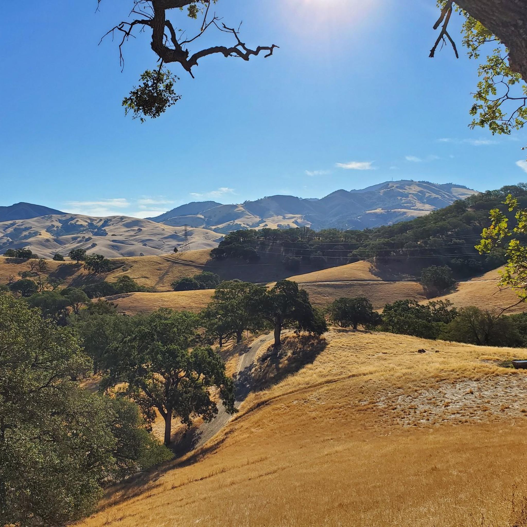
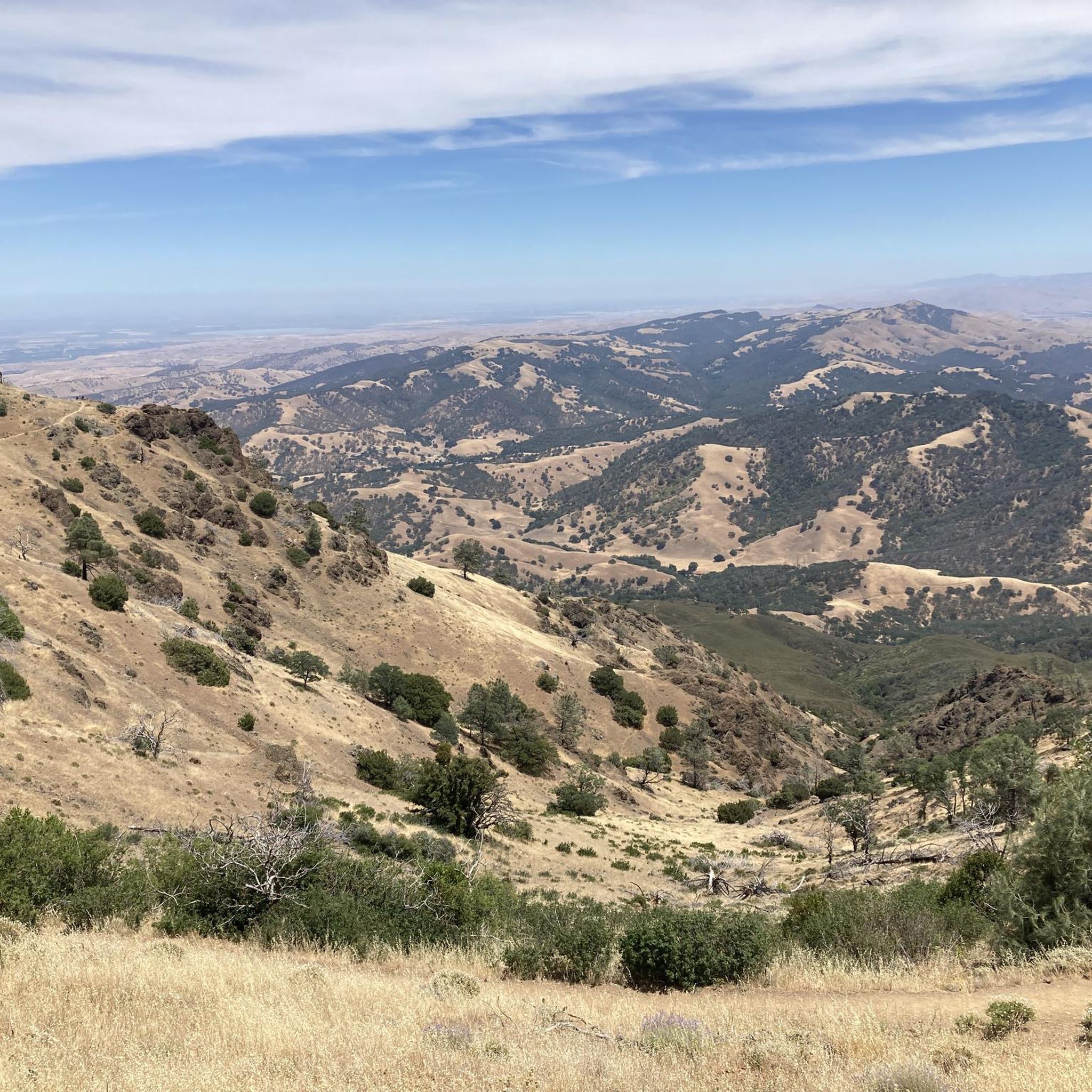
Mount Diablo, is the Bay Area second-highest peak at 1173m (3849ft). The challenging climb features constantly fluctuating gradients averaging 8%, with tough sections up to 18% and a brutal 23% finish in the last 200m. The equally demanding descent requires good bike handling due to tight corners, potholes, and strong winds. The road to the top is open daily from 8 AM till sunset.
0
0
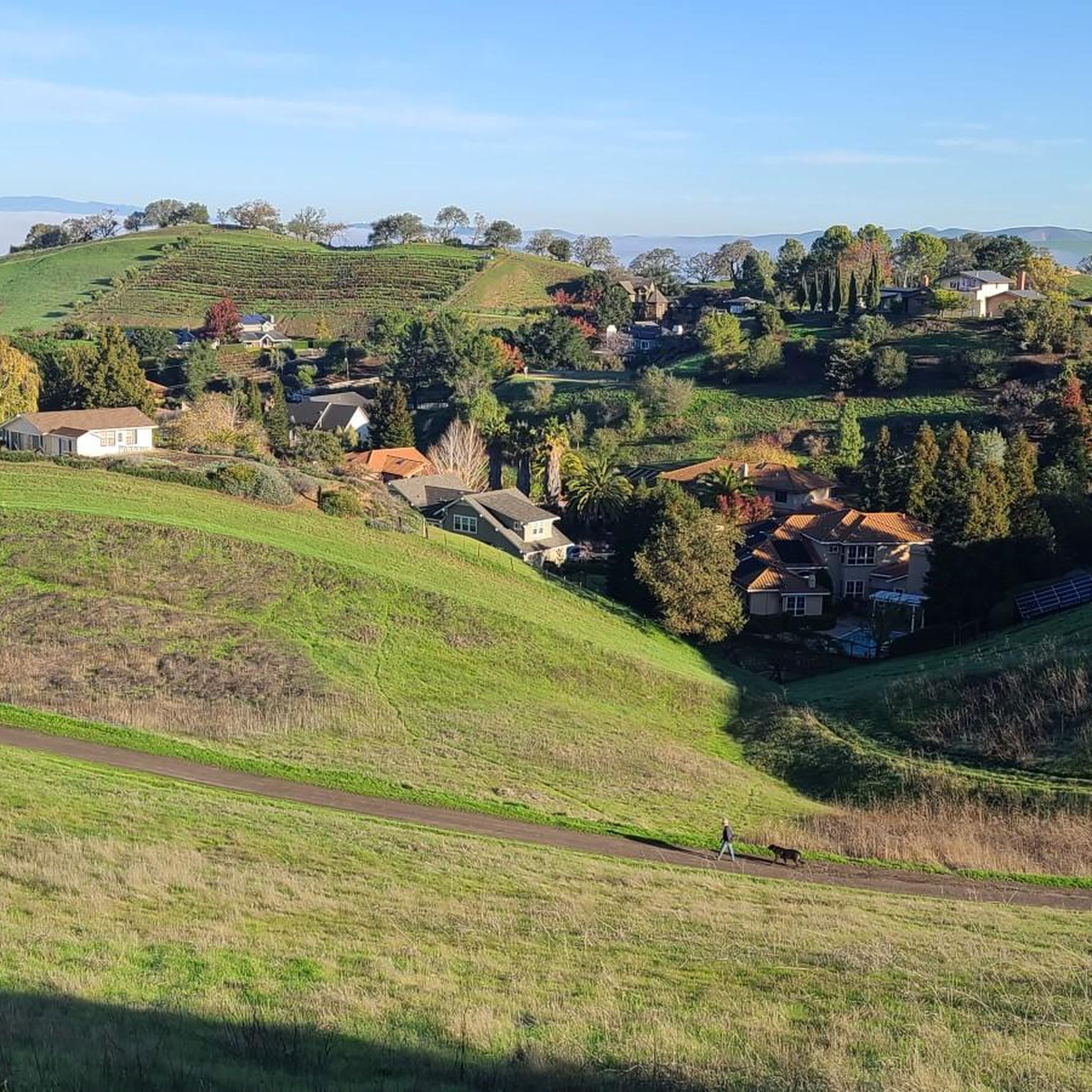
Valle Vista is the trailhead for the paved Lafayette-Moraga Regional Trail, a popular rail-trail for cyclists. There’s a restroom here, but note: the EBMUD dirt trails are hiking-only and require a permit. The bike trail has been officially closed between here and Moraga since a 2019 landslide.
0
0

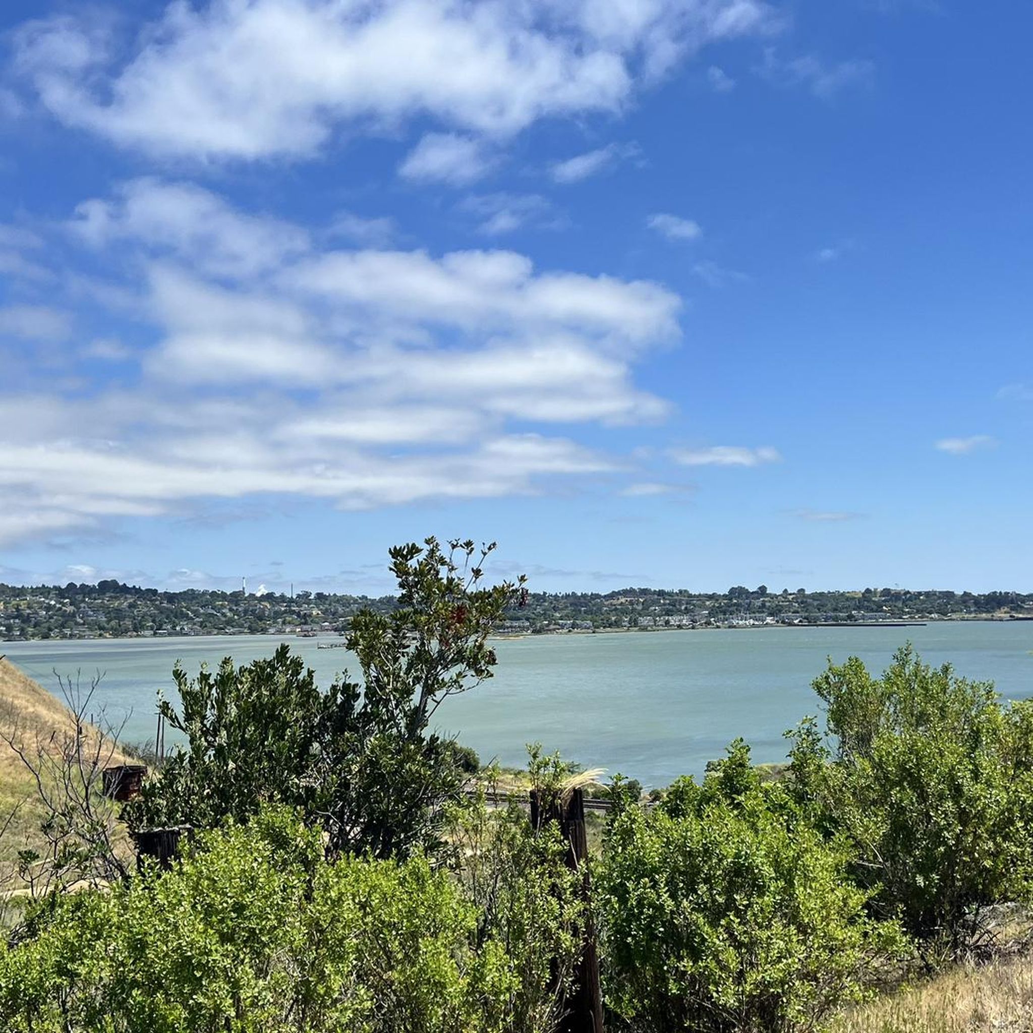
This trailhead begins at the Contra Costa Canal Trail junction. Most of the trail runs along the Ygnacio Canal, where you'll likely see plenty of ducks who inhabit the area. Most of the trail is paved, however, there is an unpaved section near Ygnacio Valley Rd.
0
0

The Iron Horse Trail is a 32-mile multi-path that connects the towns of Concord and Pleasanton. It follows the route of the abandoned Southern Pacific Railroad. With its access to schools, business centers, and parks, the path is popular with commuters and recreationalists.
1
0
The Iron Horse Trail is a 32-mile multi-path that connects the towns of Concord and Pleasanton. It follows the route of the abandoned Southern Pacific Railroad. With its access to schools, business centers, and parks, the path is popular with commuters and recreationalists.
0
0

it's a dirt fire road you can see people, hikers, joggers, and other bike riders on. usually in good condition.
0
0
This charming lake sits along the Ygnacio Canal Trail at Heather Farm Park. The park features two lakes, open grassy areas, playgrounds, picnic tables, and other facilities. The lake and surrounding areas are a great spot to take a break while cycling the Ygnacio Canal Trail.
0
0

Frequently Asked Questions
How many gravel bike trails are available in Shell Ridge?
Shell Ridge offers a network of over 31 miles of trails suitable for gravel biking. Our guide features 12 curated routes, ranging from moderate to difficult, allowing you to explore the diverse landscapes.
What kind of terrain can I expect on Shell Ridge gravel bike trails?
The terrain in Shell Ridge is characterized by rolling hills, oak woodlands, and expansive grasslands. You'll find a mix of wide fire roads and some singletrack sections, providing varied riding experiences. The area is also geologically interesting, named for ancient marine fossils embedded in its sandstone formations.
Are there any family-friendly gravel biking options in Shell Ridge?
While many trails in Shell Ridge involve rolling hills and some challenging sections, routes like the Heather Farm & Lake – Ygnacio Canal Trailhead loop from De La Salle High School offer a moderate experience that can be suitable for families with some biking experience. It navigates through varied terrain, including sections along the Ygnacio Canal.
What are the best times of year to go gravel biking in Shell Ridge?
Spring is a particularly scenic time to visit, as the hills transform with a vibrant display of native wildflowers. The weather is generally pleasant for biking during spring and fall. While winter conditions can vary, summer can be quite warm, so early morning rides are recommended during hotter months.
Are there any circular gravel bike routes in Shell Ridge?
Yes, many of the gravel bike routes in Shell Ridge are designed as loops. For example, the moderate Iron Horse Trail – Iron Horse Trail bridge loop from Walnut Creek offers a scenic circular ride.
What interesting natural features or landmarks can I see along the trails?
Shell Ridge is rich in natural beauty and historical significance. You can enjoy panoramic views of Walnut Creek and Mount Diablo from the ridge tops. Keep an eye out for ancient marine fossils, especially at 'Quarry Hill' and 'Rock Hollow Hill'. Nearby attractions include Hidden Lake and various peaks like Eagle Peak and Twin Peaks.
Are there any facilities or visitor centers near the Shell Ridge gravel trails?
Yes, the Mitchell Canyon Visitor Center is located nearby and can serve as a useful point for information and facilities before or after your ride.
What do other gravel bikers enjoy most about Shell Ridge?
The area is highly rated by the komoot community, with an average score of 4.0 stars. Reviewers often praise the diverse landscapes, the mix of fire roads and singletrack, and the expansive views from the ridge tops.
Can I access Shell Ridge trails using public transport?
Shell Ridge Open Space is accessible from Walnut Creek, which has a BART station. While direct access to all trailheads might require a short ride or connection, the proximity to Walnut Creek makes it feasible to reach the area via public transport.
Where can I find parking for gravel biking in Shell Ridge?
Parking is available at various access points around Shell Ridge Open Space. Specific parking details often depend on the trailhead you choose to start from, such as those near Diablo Foothills Regional Park or De La Salle High School.
Are there any challenging gravel bike routes for experienced riders?
Absolutely. For experienced riders seeking a challenge, the Curry Point – Mount Diablo Summit loop from Diablo Foothills Regional Park is a difficult 39.9-mile path with significant elevation gain, offering expansive views towards Mount Diablo. Another demanding option is the Skyline Boulevard – Grizzly Peak Boulevard loop from Lafayette, covering 45.5 miles.
Are dogs allowed on the gravel bike trails in Shell Ridge?
Shell Ridge Open Space is generally dog-friendly, but it's always best to check specific trail regulations and leash requirements before heading out. Be aware of wildlife, including rattlesnakes, especially on warmer days.
Most popular attractions around Shell Ridge

Get inspired with the komoot mobile app


Explore more
Browse the best Gravel rides in other regions.
