The best road cycling routes around Shell Ridge
4.5
(126)
4,318
riders
119
rides
Road cycling routes around Shell Ridge feature a diverse landscape, ranging from challenging mountain ascents to more gentle, rolling terrain. The region includes significant elevation changes, particularly towards prominent peaks like Mount Diablo, offering sustained climbs and descents. Road cyclists can expect a mix of open roads, some with scenic viewpoints, and routes that traverse varied natural environments. The area provides options for different skill levels, from long-distance endurance rides to shorter, less strenuous loops.
Best road cycling routes around…
Last updated: July 8, 2026
5.0
(9)
271
riders
48.5km
02:57
1,140m
1,140m
Mount Diablo via Summit Road offers a challenging and rewarding road cycling experience, taking you through diverse habitats to a peak with truly spectacular views. The route is primarily paved,…
29
riders
105km
04:25
600m
600m
Embark on the Sunol Depot loop, a moderate road cycling adventure that takes you through the varied landscapes of the Sunol area. You will cover 65.4 miles (105.3 km) and…

Sign up for free
4.3
(3)
120
riders
55.1km
02:51
180m
180m
Moderate road ride. Good fitness required. Mostly well-paved surfaces and easy to ride.
4.3
(3)
111
riders
Easy road ride. Great for any fitness level. Mostly well-paved surfaces and easy to ride.
5.0
(6)
66
riders
57.6km
02:51
610m
610m
Moderate road ride. Good fitness required. Mostly well-paved surfaces and easy to ride.
Get access to more routes and recommendations from other explorers.
Sign up for free
Already have an account?
Our route recommendations are based on thousands of hikes, rides, and runs completed by other people on komoot.
Start today with a free account
Your next adventure awaits.
Login or Signup

Tips from the Community

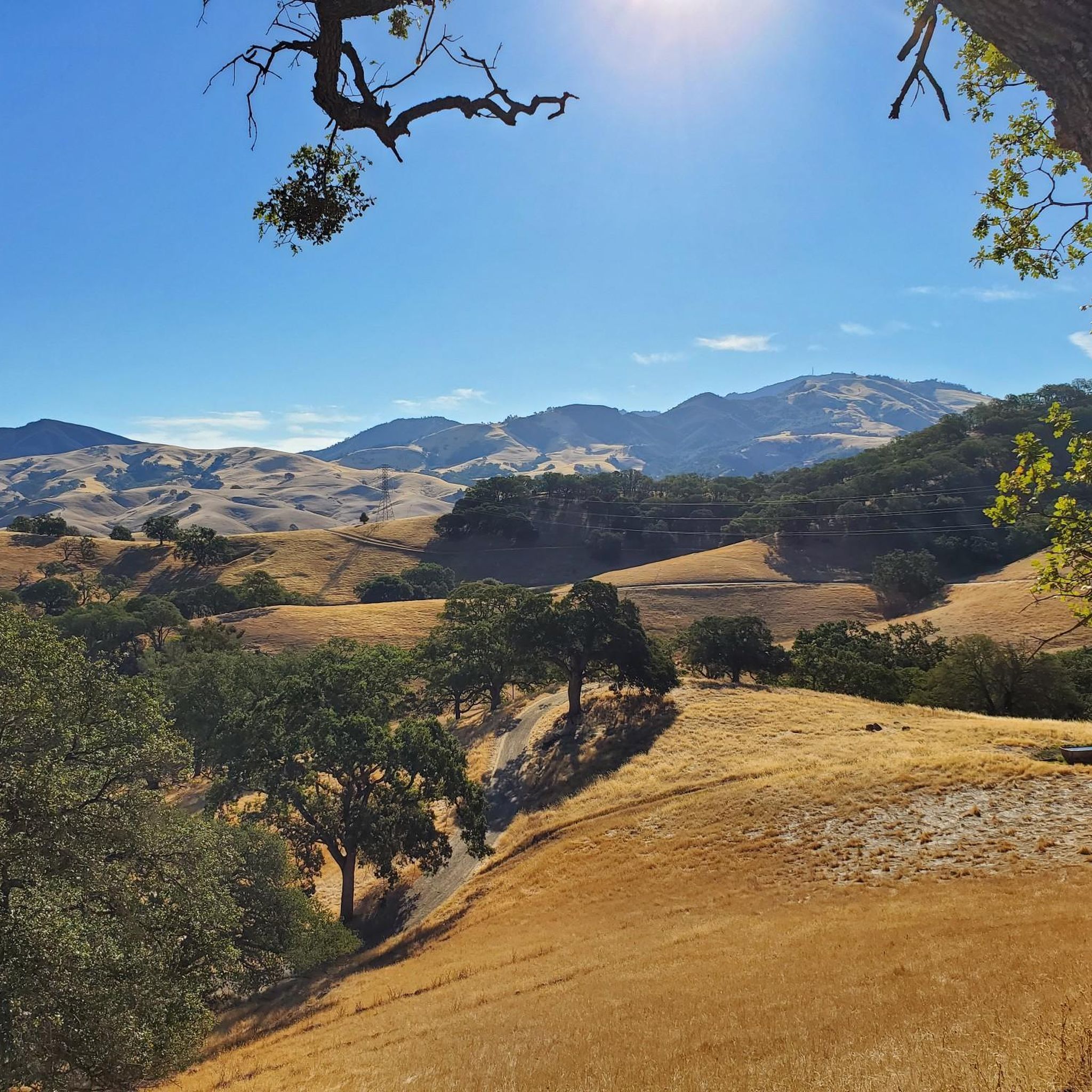
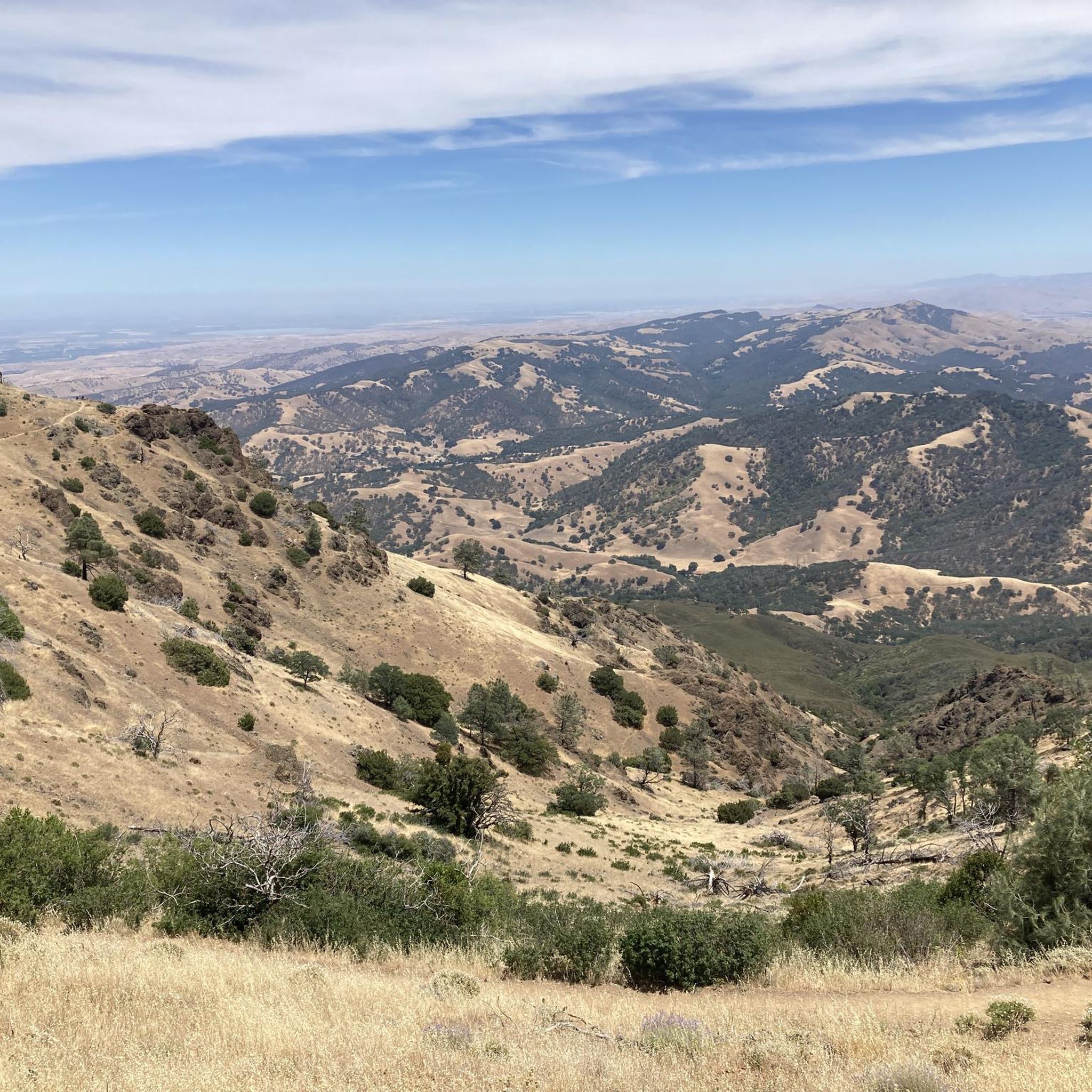
Mount Diablo, is the Bay Area second-highest peak at 1173m (3849ft). The challenging climb features constantly fluctuating gradients averaging 8%, with tough sections up to 18% and a brutal 23% finish in the last 200m. The equally demanding descent requires good bike handling due to tight corners, potholes, and strong winds. The road to the top is open daily from 8 AM till sunset.
0
0
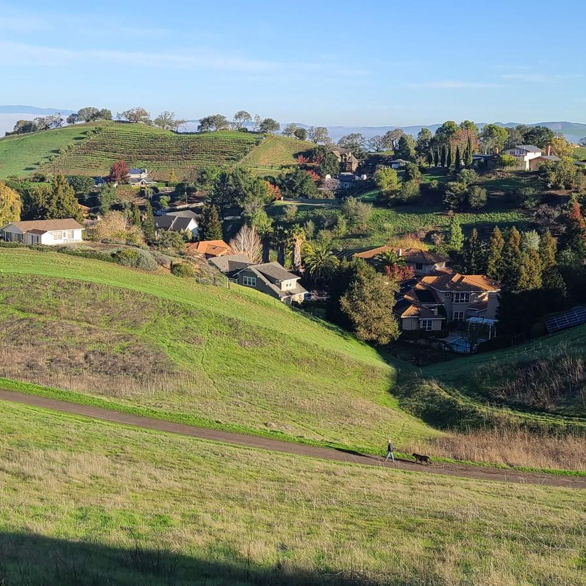
Valle Vista is the trailhead for the paved Lafayette-Moraga Regional Trail, a popular rail-trail for cyclists. There’s a restroom here, but note: the EBMUD dirt trails are hiking-only and require a permit. The bike trail has been officially closed between here and Moraga since a 2019 landslide.
0
0

The Del Amigo Swim Club, officially known as the Del Amigo Pool Association, is a member-owned, nonprofit community pool that features two pools. The pool closes every year from mid‑September to March for major renovation.
0
0
The Museum of the San Ramon Valley was established in 1985 and sits in a restored 1891 Southern Pacific Railroad Depot with the Victorian-era “Combination Station No. 22” listed on the National Register of Historic Places. The Official Visitor Information Center offers maps, guides, and knowledgeable staff, along with free parking and restrooms located in the caboose.
1
0

This is a delightful, flowy, mostly shaded route through the canyon with fantastic views through the trees and a few overlooks and picnic spots to pull over and soak in the views.
0
0

Leigh Creekside Park is a small park that is just over an acre in size. The park is a nice resting spot just off the Lafayette-Moraga Trail and features picnic tables, a drinking fountain, and plenty of shade
0
0
The Iron Horse Trail is a 32-mile multi-path that connects the towns of Concord and Pleasanton. It follows the route of the abandoned Southern Pacific Railroad. With its access to schools, business centers, and parks, the path is popular with commuters and recreationalists.
0
0
This charming lake sits along the Ygnacio Canal Trail at Heather Farm Park. The park features two lakes, open grassy areas, playgrounds, picnic tables, and other facilities. The lake and surrounding areas are a great spot to take a break while cycling the Ygnacio Canal Trail.
0
0
Frequently Asked Questions
How many road cycling routes are available around Shell Ridge?
Shell Ridge offers a wide variety of road cycling routes, with over 100 tours available. These routes cater to all skill levels, including 47 easy, 41 moderate, and 15 difficult options.
Are there challenging road cycling routes with significant climbs in Shell Ridge?
Yes, Shell Ridge is known for its challenging mountain ascents. A prime example is the Mount Diablo via Summit Road route, which features a significant climb to the summit, offering expansive views over 30.1 miles.
What are some good long-distance road cycling routes in the Shell Ridge area?
For those seeking longer rides, the Sunol Depot loop is a popular moderate option, covering 65.4 miles through varied landscapes. Another extensive route is the Iron Horse Trail bridge – Iron Horse Trail junction loop from Walnut Creek, spanning 56.1 miles.
Are there any easy or beginner-friendly road cycling routes in Shell Ridge?
Yes, Shell Ridge offers several easy routes suitable for beginners. One such option is the Iron Horse Trail – Iron Horse Trail bridge loop from Contra Costa Centre, which is 21.6 miles long with minimal elevation gain, making it a great choice for a relaxed ride.
What kind of scenic viewpoints can I expect on road cycling routes around Shell Ridge?
Many routes in Shell Ridge offer scenic viewpoints, particularly those with higher elevations. The climb to the summit on routes like Mount Diablo via Summit Road provides expansive panoramic views of the surrounding region.
Are there any loop trails for road cycling in Shell Ridge?
Yes, Shell Ridge features extensive loop trails. Examples include the Sunol Depot loop and the Iron Horse Trail bridge – Iron Horse Trail junction loop from Walnut Creek, both offering circular routes through diverse terrain.
What natural attractions or landmarks can I see near the road cycling routes?
Around Shell Ridge, you can explore various natural attractions. Notable highlights include the Mitchell Canyon Visitor Center, the prominent Eagle Peak, and the unique Sandstone caves in Castle Rock formations. For water features, consider visiting the Lafayette Reservoir Recreation Area.
What do other road cyclists think about the routes in Shell Ridge?
The road cycling routes in Shell Ridge are highly regarded by the komoot community, holding an average rating of 4.4 stars from over 100 reviews. More than 3,300 road cyclists have used komoot to explore the varied terrain, often praising the diverse landscapes and challenging ascents.
What is the best time of year for road biking in Shell Ridge?
The Shell Ridge area generally offers good road cycling conditions for much of the year. Spring and fall provide pleasant temperatures, while summer can be warm, especially on exposed routes. Winter rides are often possible, though checking local weather and road conditions is always advisable.
Are there any cafes or places to stop for refreshments near the Shell Ridge bike trails?
While specific cafes directly on the trails are limited, many routes pass through or near towns like Walnut Creek, where you can find various options for refreshments and dining. Planning your route with komoot allows you to identify potential stops along the way.
What should I wear for road biking in Shell Ridge?
Given the diverse terrain and potential for elevation changes, layering is recommended. Performance cycling apparel suitable for varying temperatures, along with a helmet, gloves, and appropriate footwear, will ensure comfort and safety. Always check the weather forecast before your ride.
Most popular attractions around Shell Ridge

Get inspired with the komoot mobile app


Explore more
Browse the best Road cycling routes in other regions.
