The best gravel rides around Saranap
3.3
(5)
65
riders
9
rides
Gravel biking around Saranap offers a diverse range of routes, traversing parklands, canal trails, and ascending towards significant elevations. The region features varied terrain, from relatively flat sections along waterways to challenging climbs leading to summits like Mount Diablo. Riders can expect a mix of paved and unpaved surfaces, characteristic of gravel biking. The area provides opportunities for both moderate and advanced gravel biking experiences.
Best gravel bike trails around Saranap
- The most popular gravel bike trail is Heather Farm…
Last updated: October 19, 2026
2.0
(1)
6
riders
Moderate gravel ride. Good fitness required. Mostly paved surfaces. Suitable for all skill levels.
5.0
(2)
8
riders
44.2km
03:16
820m
820m
Hard gravel ride. Very good fitness required. Mostly paved surfaces. Suitable for all skill levels.

3.0
(1)
13
riders
54.6km
03:53
1,120m
1,120m
Hard gravel ride. Very good fitness required. Mostly paved surfaces. Suitable for all skill levels.
14
riders
33.9km
02:30
600m
600m
Hard gravel ride. Very good fitness required. Mostly paved surfaces. Suitable for all skill levels.
3.0
(1)
4
riders
28.3km
01:52
320m
320m
Moderate gravel ride. Good fitness required. Mostly paved surfaces. Suitable for all skill levels.
Get access to more routes and recommendations from other explorers.
Already have an account?
Our route recommendations are based on thousands of hikes, rides, and runs completed by other people on komoot.
Start today with a free account
Your next adventure awaits.
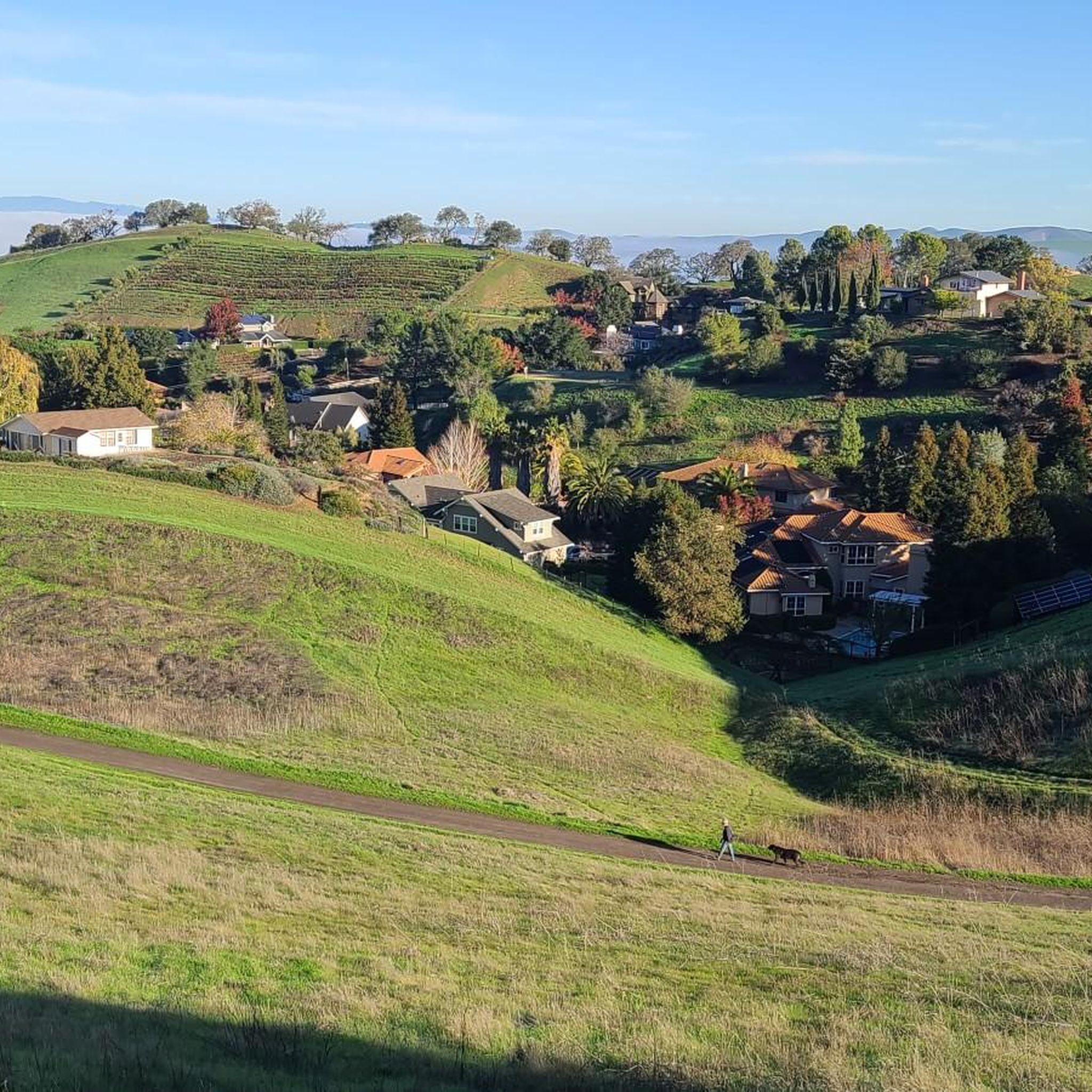
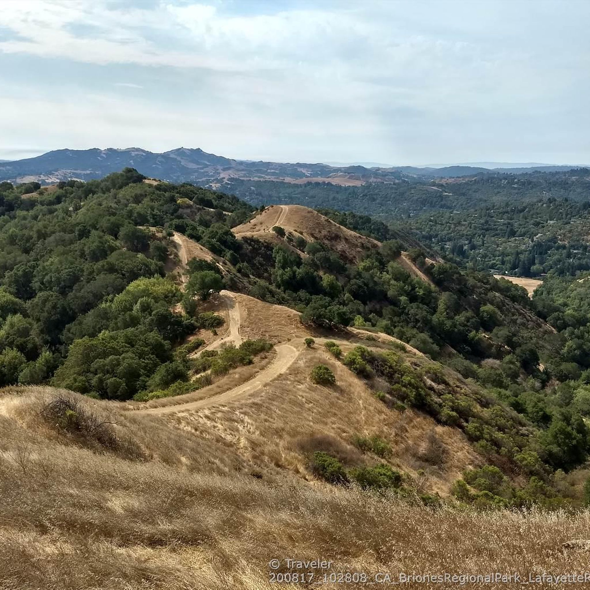
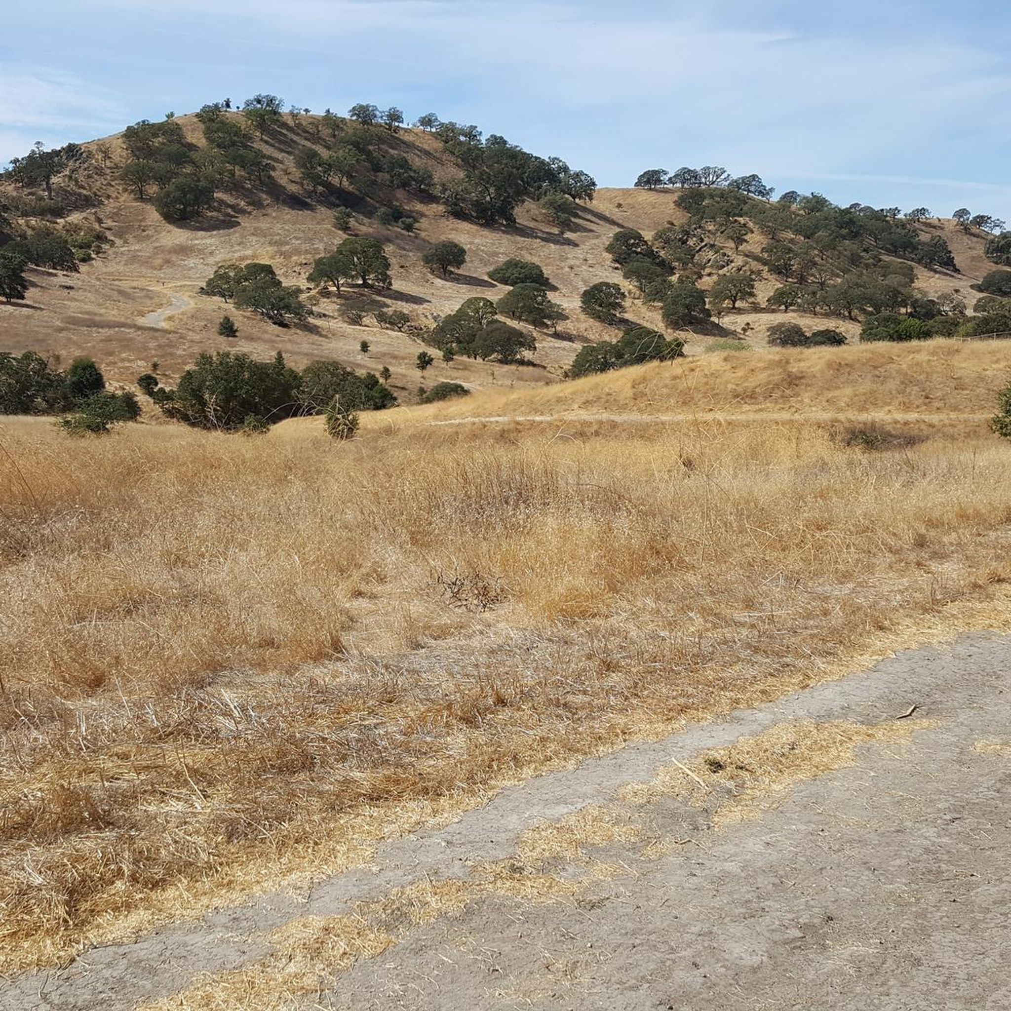
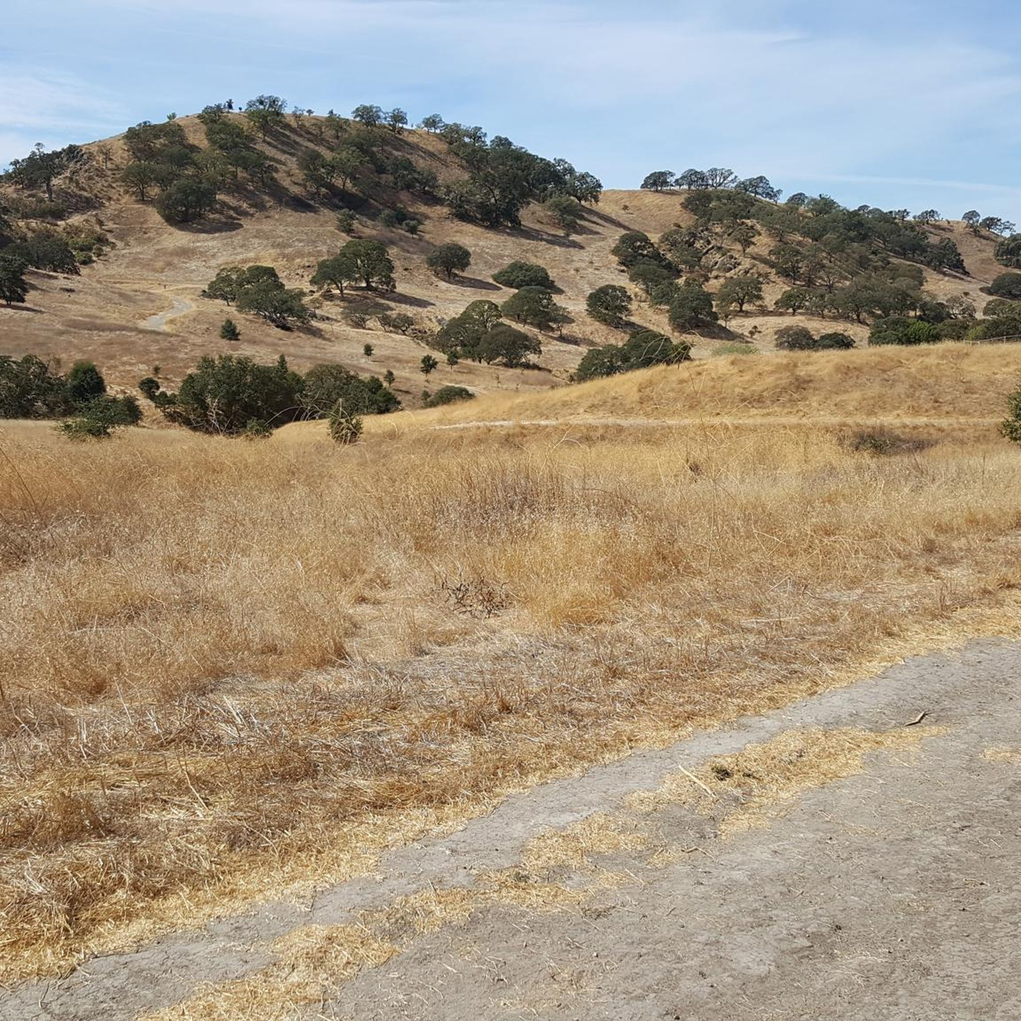
Tips from the Community

Valle Vista is the trailhead for the paved Lafayette-Moraga Regional Trail, a popular rail-trail for cyclists. There’s a restroom here, but note: the EBMUD dirt trails are hiking-only and require a permit. The bike trail has been officially closed between here and Moraga since a 2019 landslide.
0
0

This trailhead begins at the Contra Costa Canal Trail junction. Most of the trail runs along the Ygnacio Canal, where you'll likely see plenty of ducks who inhabit the area. Most of the trail is paved, however, there is an unpaved section near Ygnacio Valley Rd.
0
0

The Iron Horse Trail is a 32-mile multi-path that connects the towns of Concord and Pleasanton. It follows the route of the abandoned Southern Pacific Railroad. With its access to schools, business centers, and parks, the path is popular with commuters and recreationalists.
1
0
The Iron Horse Trail is a 32-mile multi-path that connects the towns of Concord and Pleasanton. It follows the route of the abandoned Southern Pacific Railroad. With its access to schools, business centers, and parks, the path is popular with commuters and recreationalists.
0
0

it's a dirt fire road you can see people, hikers, joggers, and other bike riders on. usually in good condition.
0
0
This charming lake sits along the Ygnacio Canal Trail at Heather Farm Park. The park features two lakes, open grassy areas, playgrounds, picnic tables, and other facilities. The lake and surrounding areas are a great spot to take a break while cycling the Ygnacio Canal Trail.
0
0
Strategic trail junction of these two excellent, flat, paved, car-free trail systems.
0
0

A natural lake, mostly used for fishing, that has the paved Ygnacio Canal Trail on the west side and some unpaved trails along the east.
0
0
Frequently Asked Questions
How many gravel bike trails are available around Saranap?
There are over 10 gravel bike routes documented around Saranap on komoot, offering a variety of experiences from moderate to challenging. The region features a mix of parklands, canal trails, and significant climbs.
Are there any easy or beginner-friendly gravel bike trails in Saranap?
While many routes in Saranap involve significant elevation, there are options suitable for those looking for a moderate ride. The Heather Farm & Lake – Ygnacio Canal Trailhead loop from De La Salle High School is a moderate 17.8-mile route that combines parkland and canal paths, making it a good choice for a less strenuous outing.
What are the best routes for advanced gravel bikers seeking a challenge?
Advanced riders will find several challenging routes with substantial elevation gains. The Curry Point – Mount Diablo Summit loop from Diablo Foothills Regional Park is a difficult 40-mile path featuring a significant ascent to Mount Diablo's summit. Another demanding option is the Skyline Boulevard – Grizzly Peak Boulevard loop from Lafayette, a 45.5-mile trail with considerable climbing.
Are there any loop trails for gravel biking in Saranap?
Yes, many of the gravel routes in Saranap are designed as loops. For example, the popular Heather Farm & Lake – Ygnacio Canal Trailhead loop from De La Salle High School and the challenging Curry Point – Mount Diablo Summit loop from Diablo Foothills Regional Park are both circular routes, allowing you to start and end at the same point.
What kind of terrain can I expect on Saranap's gravel bike trails?
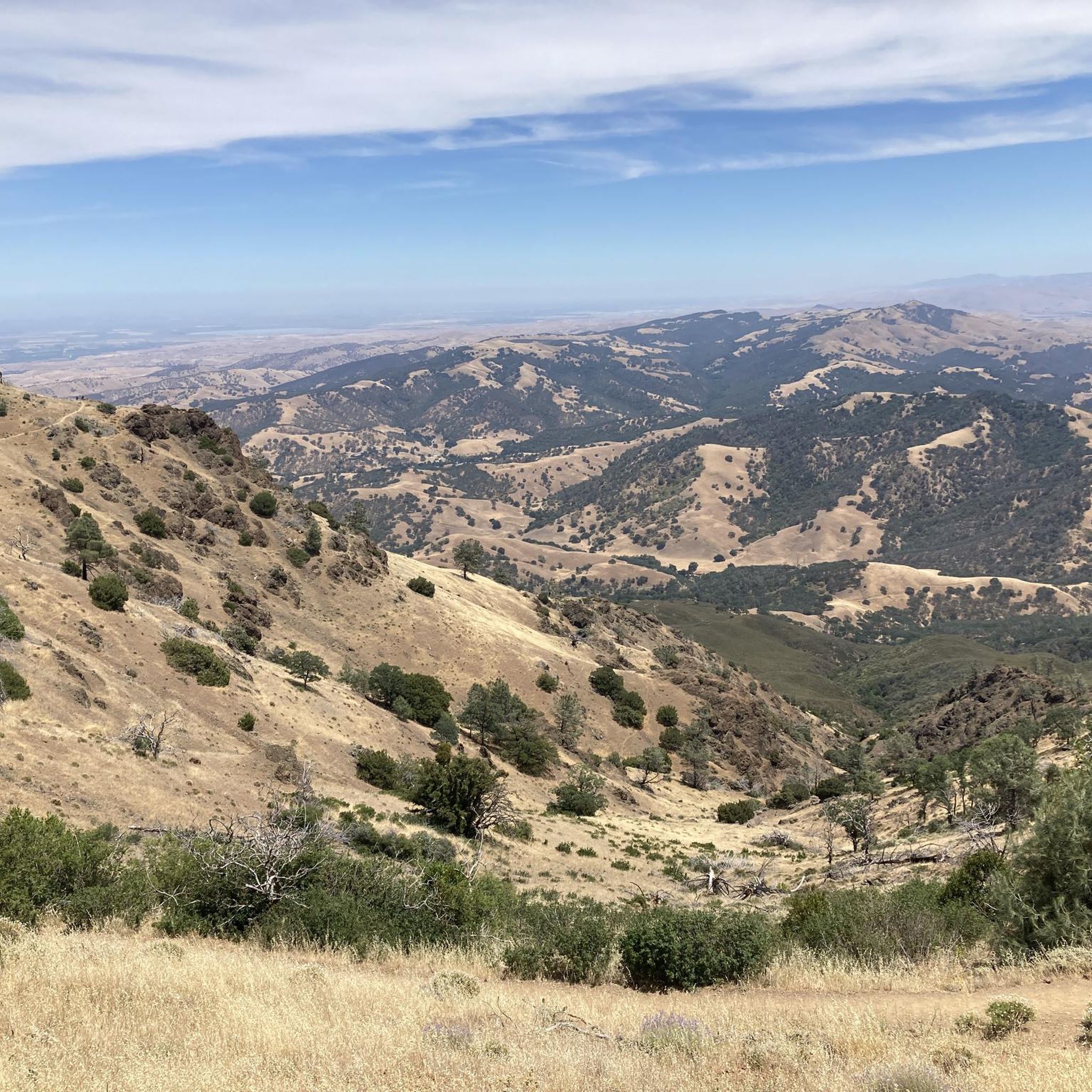
Saranap's gravel trails offer varied terrain. You'll encounter relatively flat sections along canal paths and through parklands, as well as challenging climbs towards significant elevations like Mount Diablo. The routes typically feature a mix of paved and unpaved surfaces, characteristic of gravel biking.
What can I see along the gravel bike trails in Saranap?
Many routes offer scenic views and pass by interesting natural features. You might encounter areas like Redwood Grove or the Huckleberry Botanic Regional Preserve Upper Pinehurst Entry. Some trails also lead near unique geological formations such as the Sandstone caves in Castle Rock formations.
Are there any historical or cultural landmarks near the gravel biking routes?
Yes, beyond natural beauty, you can find cultural points of interest. The Museum of the San Ramon Valley is an accessible landmark that could be visited before or after a ride, offering insight into the local history.
What is the best season for gravel biking in Saranap?
The region generally offers good biking conditions for much of the year. Spring and fall often provide pleasant temperatures and vibrant scenery. Summer can be warm, especially on exposed climbs, while winter might bring cooler, potentially wetter conditions, particularly at higher elevations.
Are there any less crowded gravel trails in Saranap?
While popular routes like the Heather Farm & Lake loop can see more activity, exploring some of the more challenging, longer routes, especially on weekdays, can offer a more solitary experience. Routes with significant elevation gain, such as those leading towards Mount Diablo, tend to be less crowded due to their difficulty.
What do other gravel bikers enjoy most about gravel biking in Saranap?
The area is highly rated by the komoot community, with an average score of 4.0 stars. Reviewers often praise the diverse terrain, from peaceful canal paths to challenging mountain ascents, and the opportunity to experience both natural landscapes and scenic boulevards.
How long do gravel bike rides typically take in Saranap?
Ride durations vary significantly based on the route's distance and difficulty. A moderate route like the Heather Farm & Lake – Ygnacio Canal Trailhead loop typically takes around 2 hours. More challenging and longer routes, such as the Skyline Boulevard – Grizzly Peak Boulevard loop, can take upwards of 5 hours to complete.
Most popular attractions around Saranap

Get inspired with the komoot mobile app


Explore more
Browse the best Gravel rides in other regions.
