The best road cycling routes around Saranap
4.5
(158)
5,621
riders
106
rides
Road cycling around Saranap, a residential area in central Contra Costa County, California, provides access to diverse natural landscapes and regional trails. The area maintains a semi-rural character while offering convenient connections to various outdoor activities. Cyclists can explore routes that traverse between urban centers and natural features, including regional trails and challenging climbs. The terrain offers a mix of accessible paths and more rigorous ascents, catering to different skill levels.
Best road cycling routes around Saranap
- The most popular…
Last updated: October 11, 2026
30
riders
105km
04:25
600m
600m
Moderate road ride. Good fitness required. Mostly well-paved surfaces and easy to ride.
5.0
(12)
64
riders
33.9km
01:38
390m
390m
Moderate road ride. Good fitness required. Mostly well-paved surfaces and easy to ride.

38
riders
77.4km
04:02
1,260m
1,260m
Hard road ride. Very good fitness required. Mostly well-paved surfaces and easy to ride.
44
riders
Moderate road ride. Good fitness required. Mostly well-paved surfaces and easy to ride.
5.0
(4)
41
riders
Easy road ride. Great for any fitness level. Mostly well-paved surfaces and easy to ride.
Get access to more routes and recommendations from other explorers.
Already have an account?
Our route recommendations are based on thousands of hikes, rides, and runs completed by other people on komoot.
Start today with a free account
Your next adventure awaits.
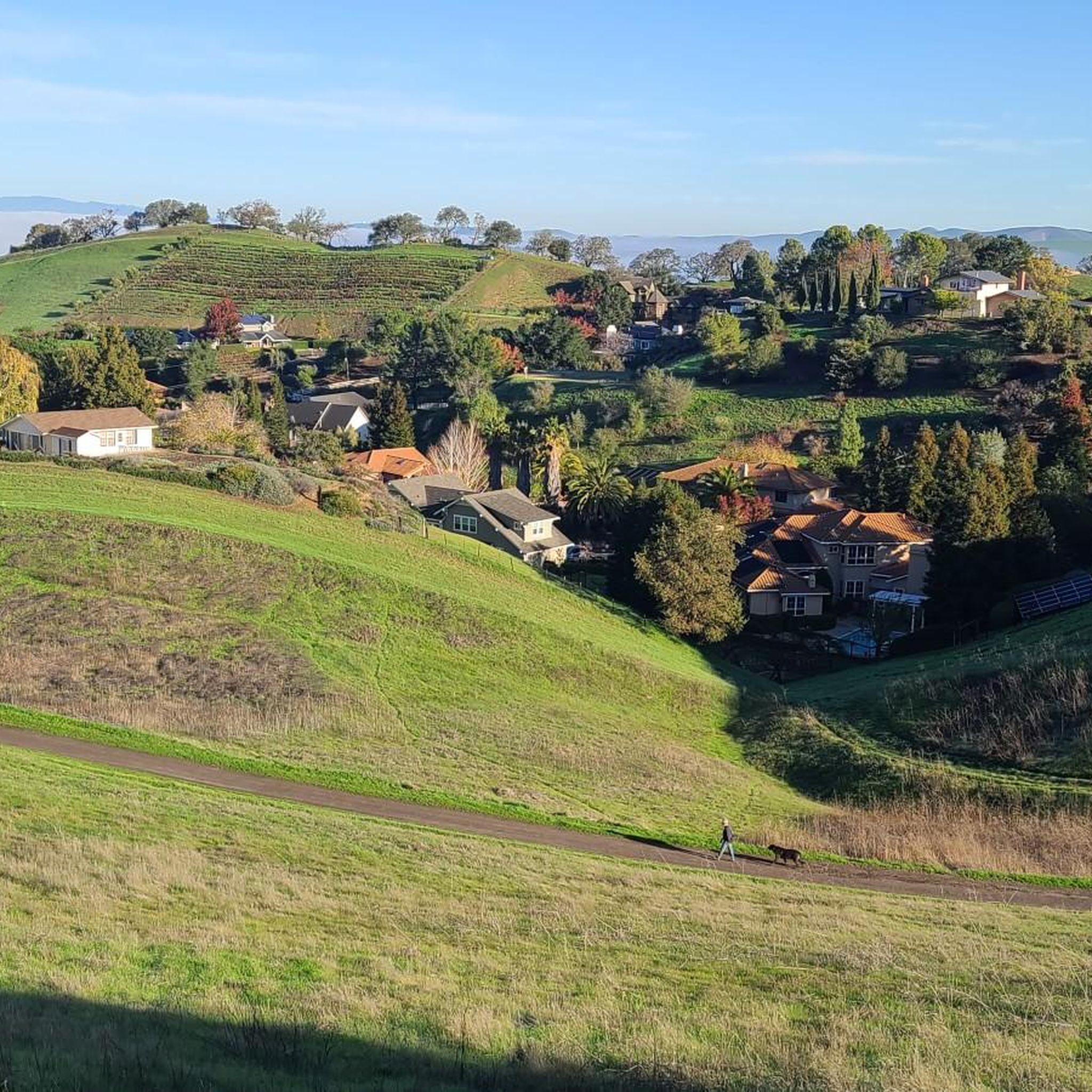
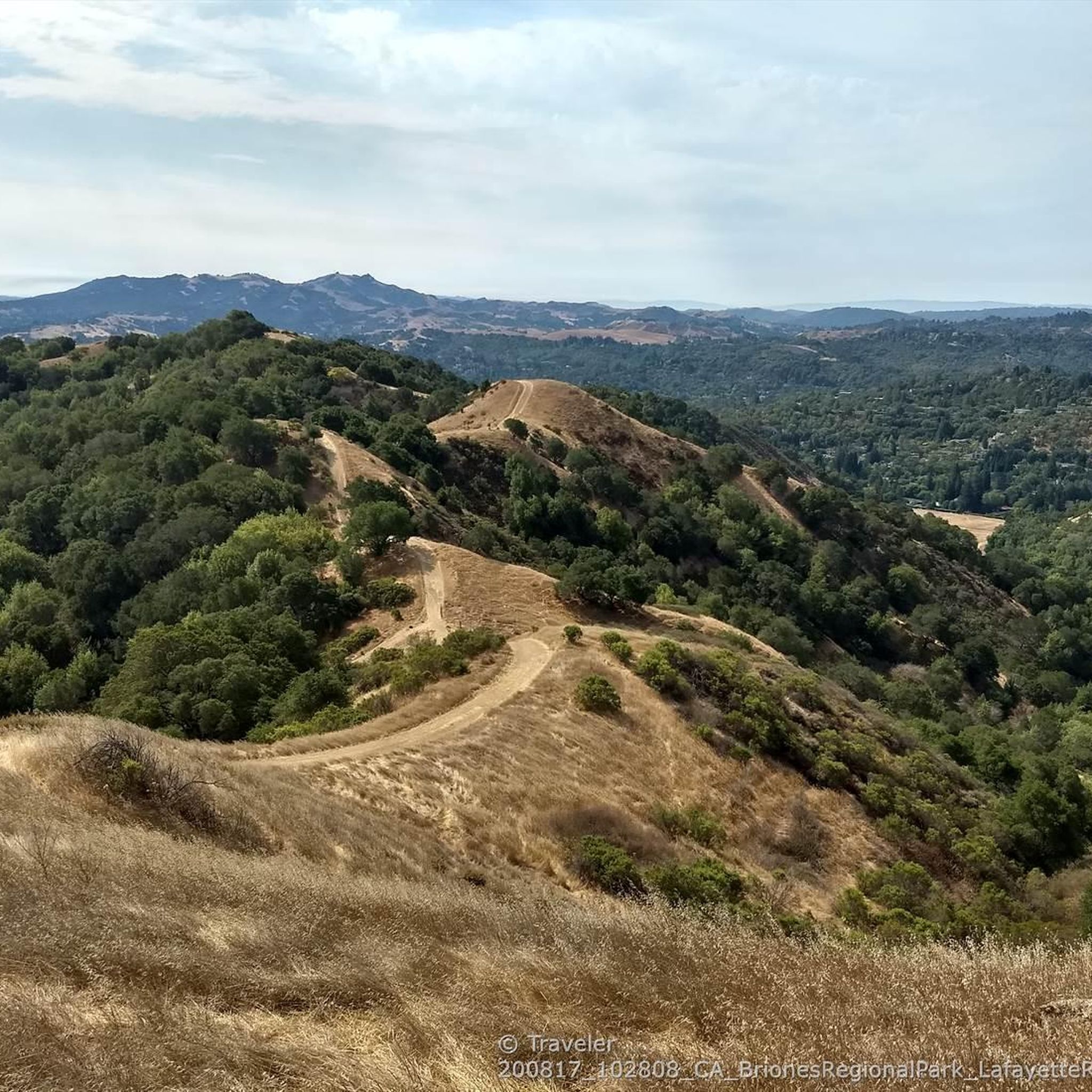
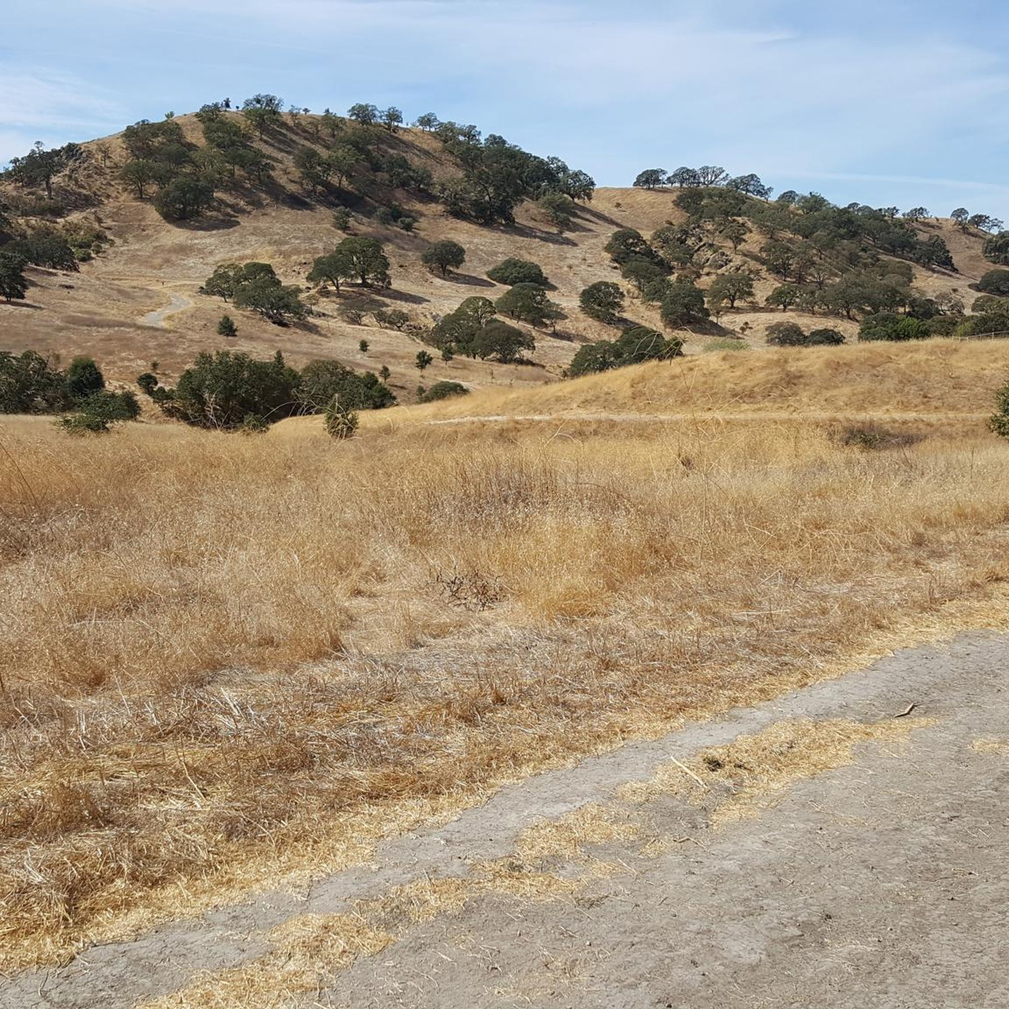
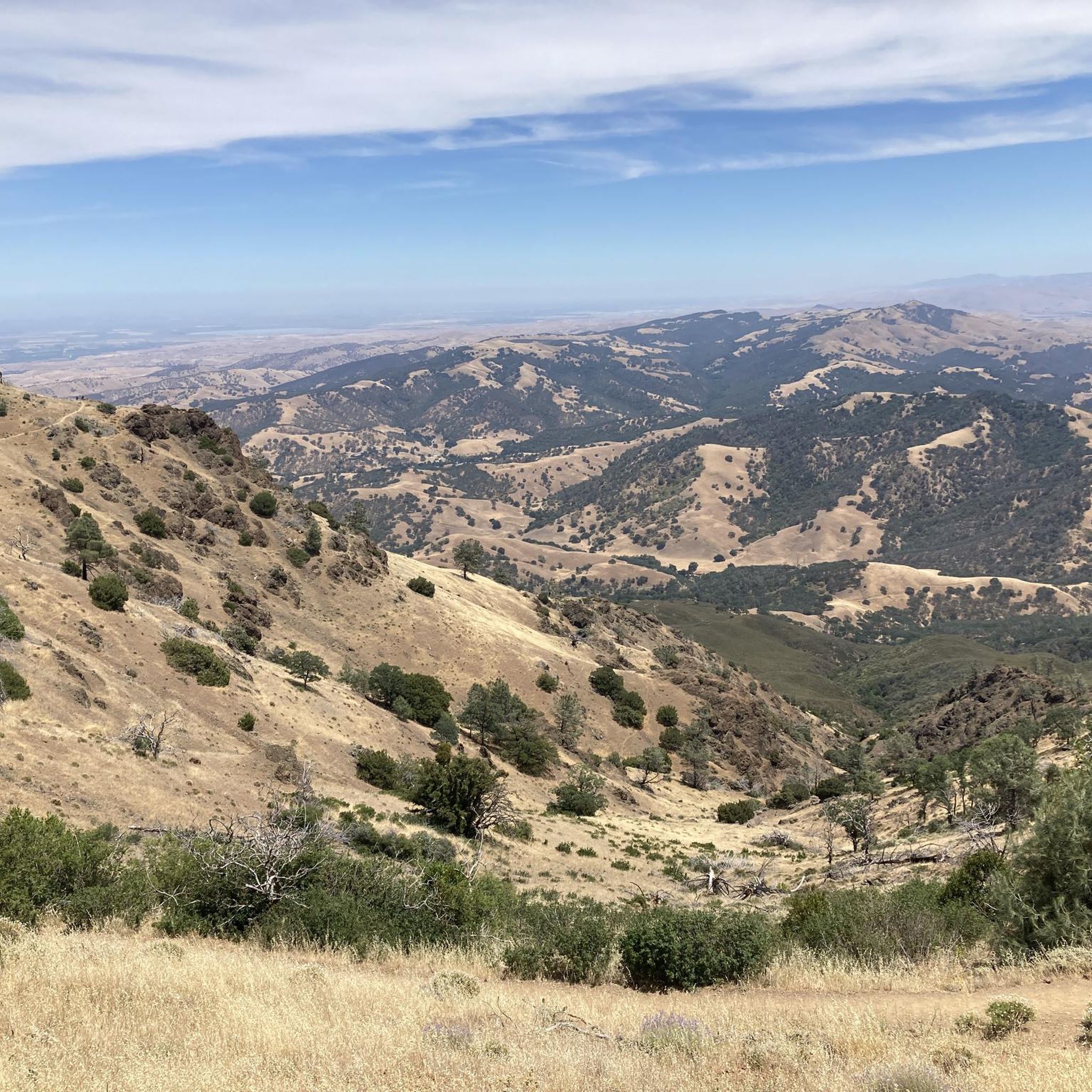

Tips from the Community

The Orinda BART Station offers bike racks and 24 storage lockers, ideal if you want to secure your bike and take a break in the city. The station sits in the median of Highway 24, with easy access to nearby trails and residential areas. While there’s no dedicated bike station, the ramps lead right to the station, and the setup supports quick transitions between riding and rail.
0
0

The Museum of the San Ramon Valley was established in 1985 and sits in a restored 1891 Southern Pacific Railroad Depot with the Victorian-era “Combination Station No. 22” listed on the National Register of Historic Places. The Official Visitor Information Center offers maps, guides, and knowledgeable staff, along with free parking and restrooms located in the caboose.
1
0

This road parallels the ridgeline above and have great views over the bay and surrounding hills.
0
0

Olympic Blvd. Staging Area is a convenient starting point or rest stop for your ride, with parking, restrooms, and water available. It connects directly to the paved Lafayette-Moraga Trail.
0
0

This pretty little brick walkway wanders through a tunnel of shops, restaurants, and businesses around Orinda Theater. The awnings and aerial walkways lend the feeling of an old bustling medieval city.
0
0
This is a delightful, flowy, mostly shaded route through the canyon with fantastic views through the trees and a few overlooks and picnic spots to pull over and soak in the views.
0
0

Leigh Creekside Park is a small park that is just over an acre in size. The park is a nice resting spot just off the Lafayette-Moraga Trail and features picnic tables, a drinking fountain, and plenty of shade
0
0
The Iron Horse Trail is a 32-mile multi-path that connects the towns of Concord and Pleasanton. It follows the route of the abandoned Southern Pacific Railroad. With its access to schools, business centers, and parks, the path is popular with commuters and recreationalists.
0
0
Frequently Asked Questions
What kind of terrain can I expect on road cycling routes around Saranap?
Road cycling around Saranap offers a diverse mix of terrain. You'll find accessible paths like the Leigh Creekside Park – Lafayette-Moraga Trail loop from Walnut Creek, which is mostly flat. For more challenging rides, routes like the Iron Horse Trail bridge – Iron Horse Trail junction loop from Walnut Creek feature significant elevation gain, and the region is known for its proximity to challenging climbs like Mount Diablo, which has sections up to 18% gradient.
Are there any easy road cycling routes suitable for beginners or casual rides?
Yes, Saranap offers several easy road cycling routes. For instance, the Heather Farm Park Lake – Walden Park loop from Walnut Creek is an easy 24.8 km path with minimal elevation, perfect for a relaxed ride. The Lafayette-Moraga Regional Trail, which runs through Saranap, also provides an accessible and enjoyable route for local rides.
Where can I find challenging road cycling routes near Saranap?
For advanced road cyclists seeking a challenge, the region offers routes with substantial climbing. The Grizzly Peak Boulevard – Skyline Boulevard loop from Walnut Creek is a difficult 82.5 km trail with over 1,380 meters of elevation gain. Additionally, the proximity to Mount Diablo provides exceptional challenges with continuous climbing and steep gradients.
What are some notable landmarks or viewpoints along the road cycling routes?
While cycling, you can enjoy various scenic points. The region borders the Las Trampas Regional Wilderness, offering panoramic views. You might also encounter natural monuments like the Redwood Grove and the Castle Rock formations. Specific trails like the Lafayette-Moraga Regional Trail and the Lamorinda Trail offer pleasant surroundings. For broader views, Mount Diablo provides breathtaking vistas from its higher elevations.
Are there any family-friendly cycling trails in or near Saranap?
Yes, Saranap and its surrounding areas offer family-friendly options. The Lafayette-Moraga Regional Trail is well-suited for biking, jogging, and walking, making it a great choice for families. The Heather Farm Park Lake – Walden Park loop from Walnut Creek is another easy route that families can enjoy.
What is the best time of year for road cycling in Saranap?
Saranap generally offers good cycling conditions for much of the year. The climate in Contra Costa County is Mediterranean, with warm, dry summers and mild, wet winters. Spring and fall typically provide the most comfortable temperatures for road cycling, avoiding the peak heat of summer and the wetter conditions of winter. However, many trails remain accessible year-round.
Are there any circular road cycling routes available?
Yes, many of the routes around Saranap are designed as loops, offering circular journeys. Examples include the popular Sunol Depot loop, a 105.3 km route, and the more challenging Iron Horse Trail bridge – Iron Horse Trail junction loop from Walnut Creek. These loops allow you to start and end at the same point, making logistics easier.
What are the options for parking when accessing road cycling routes in Saranap?
Saranap's convenient location provides access to various trailheads and parks with parking. For routes utilizing regional trails like the Iron Horse Trail or Contra Costa Canal Trail, you can often find parking in nearby urban centers like Walnut Creek. Specific parking details may vary by trailhead, so it's advisable to check local park information for your chosen starting point.
Are there any cafes or pubs near the cycling routes for a break?
Given Saranap's location between Walnut Creek and Lafayette, you'll find various amenities. Walnut Creek, in particular, offers a range of cyclist-friendly cafes, restaurants, and pubs where you can refuel or relax after your ride. Many of these establishments are conveniently located near major trail access points like the Iron Horse Trail.
How many road cycling routes are available around Saranap?
There are over 100 road cycling routes available around Saranap, catering to various skill levels. This includes 48 easy routes, 46 moderate routes, and 13 difficult routes, ensuring options for every type of cyclist.
What do other road cyclists think about the routes in Saranap?
The road cycling routes in Saranap are highly rated by the komoot community, with an average score of 4.5 stars from over 100 reviews. Cyclists often praise the varied terrain, the mix of accessible paths and challenging climbs, and the scenic beauty of the East Bay region.
Most popular attractions around Saranap

Get inspired with the komoot mobile app


Explore more
Browse the best Road cycling routes in other regions.
