The best gravel rides around Reliez Valley
3.3
(5)
56
riders
6
rides
Gravel biking around Reliez Valley offers diverse terrain, from multi-use paths to challenging mountain ascents. The region features regional parks like Diablo Foothills and established trails such as the Iron Horse Trail and Lafayette-Moraga Trail. Riders can expect varied surfaces, including paved sections, compacted dirt, and gravel, with significant elevation changes on routes leading towards Mount Diablo.
Best gravel bike trails around Reliez Valley
- The most popular gravel bike trail is Heather Farm & Lake – Ygnacio Canal Trailhead loop…
Last updated: August 26, 2026
12
riders
55.9km
03:58
970m
960m
Hard gravel ride. Very good fitness required. You may need to push your bike for some segments of this route.
2.0
(1)
6
riders
Moderate gravel ride. Good fitness required. Mostly paved surfaces. Suitable for all skill levels.

Sign up for free
5.0
(2)
8
riders
44.3km
03:15
820m
820m
Hard gravel ride. Very good fitness required. Mostly paved surfaces. Suitable for all skill levels.
3.0
(1)
13
riders
54.6km
03:53
1,120m
1,120m
Hard gravel ride. Very good fitness required. Mostly paved surfaces. Suitable for all skill levels.
13
riders
31.5km
02:15
530m
530m
Hard gravel ride. Very good fitness required. Mostly paved surfaces. Suitable for all skill levels.
Our route recommendations are based on thousands of hikes, rides, and runs completed by other people on komoot.
Start today with a free account
Your next adventure awaits.
Login or Signup
Tips from the Community

Valle Vista is the trailhead for the paved Lafayette-Moraga Regional Trail, a popular rail-trail for cyclists. There’s a restroom here, but note: the EBMUD dirt trails are hiking-only and require a permit. The bike trail has been officially closed between here and Moraga since a 2019 landslide.
0
0

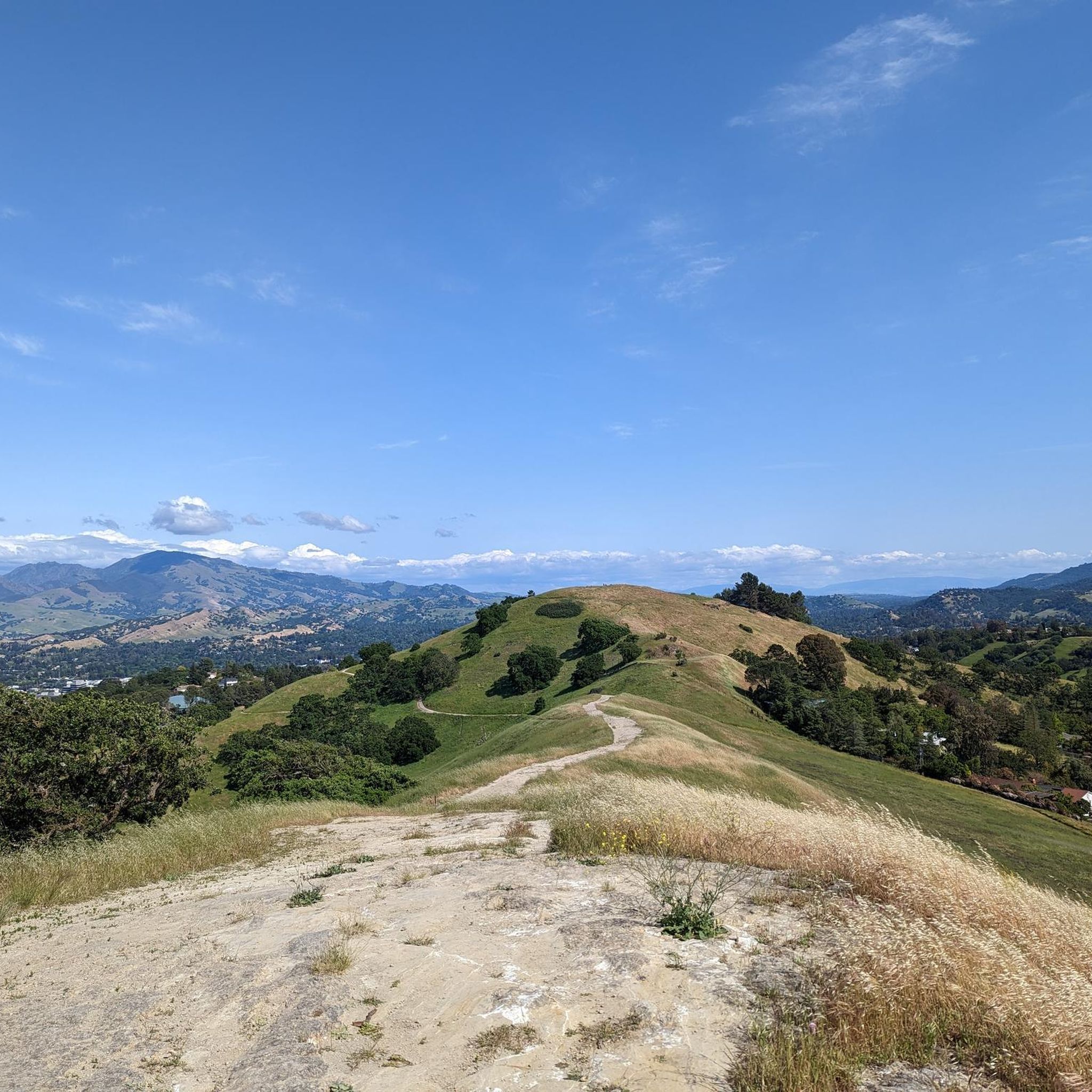
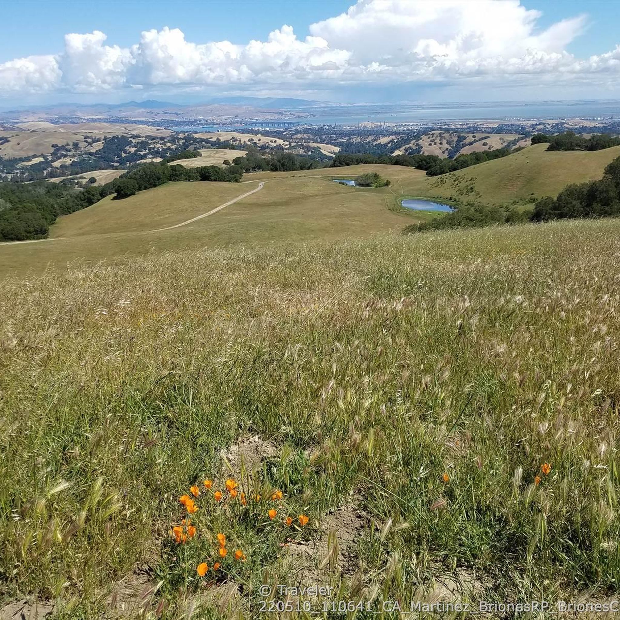
This road parallels the ridgeline above and have great views over the bay and surrounding hills.
0
0

Wildcat Creek Trail is a packed-dirt trail that is about four miles long. One end of the trail is at Jewel Lake, near the Environmental Education Center, and the other end of the trail is at the Alvarado Staging Area. This trail offers great views of Wildcat Creek and has some picnic tables you could stop at along the side of the trail.
0
0


This trailhead begins at the Contra Costa Canal Trail junction. Most of the trail runs along the Ygnacio Canal, where you'll likely see plenty of ducks who inhabit the area. Most of the trail is paved, however, there is an unpaved section near Ygnacio Valley Rd.
0
0

it's a dirt fire road you can see people, hikers, joggers, and other bike riders on. usually in good condition.
0
0
This charming lake sits along the Ygnacio Canal Trail at Heather Farm Park. The park features two lakes, open grassy areas, playgrounds, picnic tables, and other facilities. The lake and surrounding areas are a great spot to take a break while cycling the Ygnacio Canal Trail.
0
0
Frequently Asked Questions
What is the general difficulty level of gravel biking trails in Reliez Valley?
Gravel biking in Reliez Valley primarily features moderate to difficult routes. There are 5 moderate trails and 8 difficult trails, making it more suitable for experienced gravel bikers. There are no easy trails listed in the immediate area.
What are the typical distances and durations for gravel bike trails in Reliez Valley?
Trail lengths vary significantly. For example, the Heather Farm & Lake – Ygnacio Canal Trailhead loop from De La Salle High School is about 17.8 miles (28.6 km) and takes around 2 hours 5 minutes. A more challenging option, the Curry Point – Mount Diablo Summit loop from Diablo Foothills Regional Park, spans 39.9 miles (64.4 km) and can take over 5 hours.
Are there any circular gravel bike routes in Reliez Valley?
Yes, many of the gravel bike routes in Reliez Valley are loops. Examples include the Heather Farm & Lake – Ygnacio Canal Trailhead loop from De La Salle High School, the Curry Point – Mount Diablo Summit loop from Diablo Foothills Regional Park, and the Iron Horse Trail junction – Heather Farm & Lake loop from Walnut Creek.
What kind of terrain can I expect on Reliez Valley gravel bike trails?
You'll encounter a mix of surfaces, including paved sections, compacted dirt, and gravel. Routes often connect multi-use paths, regional parks, and feature significant elevation changes, especially on trails leading towards Mount Diablo.
What are some scenic viewpoints or natural attractions along the gravel bike routes?
Many routes offer expansive views, particularly those ascending towards Mount Diablo. You can also find natural highlights like Hidden Lake. For broader scenic drives and trails, consider exploring the Carquinez Scenic Drive through or the Lafayette-Moraga Regional Trail.
Are there any notable landmarks or points of interest near the gravel biking trails?
Beyond the trails themselves, you can find interesting points like the Rancho La Boca Summit and Russell Peak. The area also features established cycling paths such as the Benicia-Martinez Bridge Bike Trail and the George Miller Regional Bike Trail.
What do other gravel bikers enjoy most about riding in Reliez Valley?
The area is highly rated by the komoot community, with an average score of 4.0 stars from 3 reviews. Riders often appreciate the diverse terrain, from multi-use paths to challenging mountain ascents, and the opportunities for expansive views, especially on routes like the Lafayette-Moraga Trail – Skyline Boulevard loop from Moraga.
What is the best time of year for gravel biking in Reliez Valley?
The Bay Area generally offers good biking conditions year-round. Spring and fall provide pleasant temperatures, while summer can be warm, especially inland. Winter typically brings mild, wet weather, so be prepared for potentially muddy sections or cooler temperatures.
Are there any family-friendly gravel biking options in Reliez Valley?
While many routes are moderate to difficult, some multi-use paths within regional parks might be suitable for families with older children or those comfortable with longer distances. For example, sections of the Iron Horse Trail or Ygnacio Canal Trail offer flatter, less technical riding. Always check the specific route details for elevation and surface conditions.
Where can I find parking for gravel bike trails in Reliez Valley?
Many routes start from regional parks or trailheads that typically offer parking facilities. For instance, the Curry Point – Mount Diablo Summit loop starts from Diablo Foothills Regional Park, which has designated parking. Other routes may begin near schools or public areas with available parking, such as the Heather Farm & Lake – Ygnacio Canal Trailhead loop from De La Salle High School.
Are dogs allowed on the gravel bike trails in Reliez Valley?
Dog policies vary by park and trail. Generally, dogs are permitted on leash in most regional parks and multi-use trails in the area. However, it's always best to check the specific regulations for each park or trail you plan to visit, as some wilderness areas or sensitive habitats may have restrictions.
What should I bring for a gravel bike ride in Reliez Valley?
Given the varied terrain and potential for significant climbs, it's advisable to bring plenty of water, snacks, a repair kit (including spare tubes and a pump), and appropriate layers of clothing. Sunscreen and a helmet are essential. For longer rides, consider a GPS device or a fully charged phone with offline maps.
Most popular attractions around Reliez Valley

Get inspired with the komoot mobile app


Explore more
Browse the best Gravel rides in other regions.
