The best cycling routes around Reliez Valley
4.7
(154)
1,767
riders
95
rides
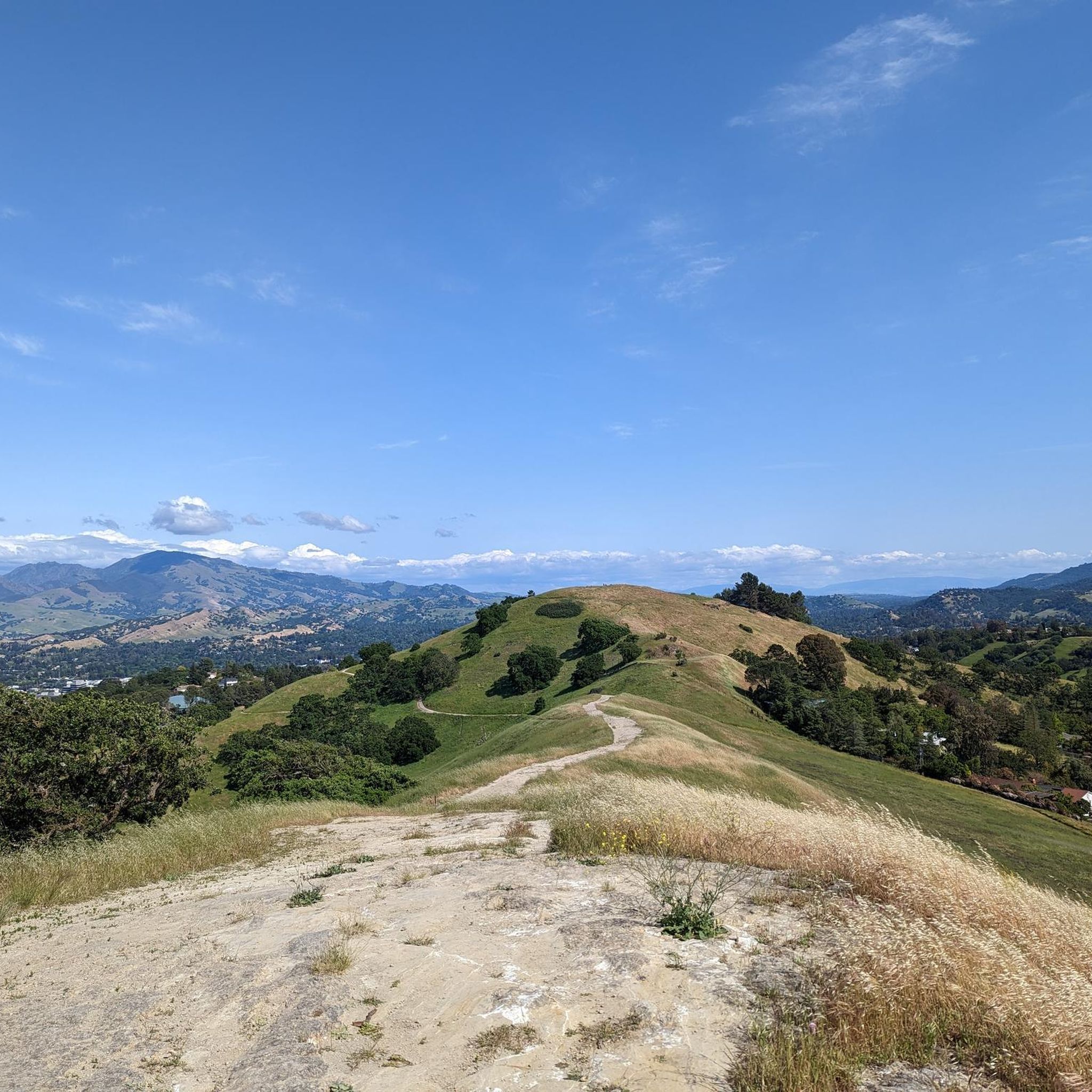
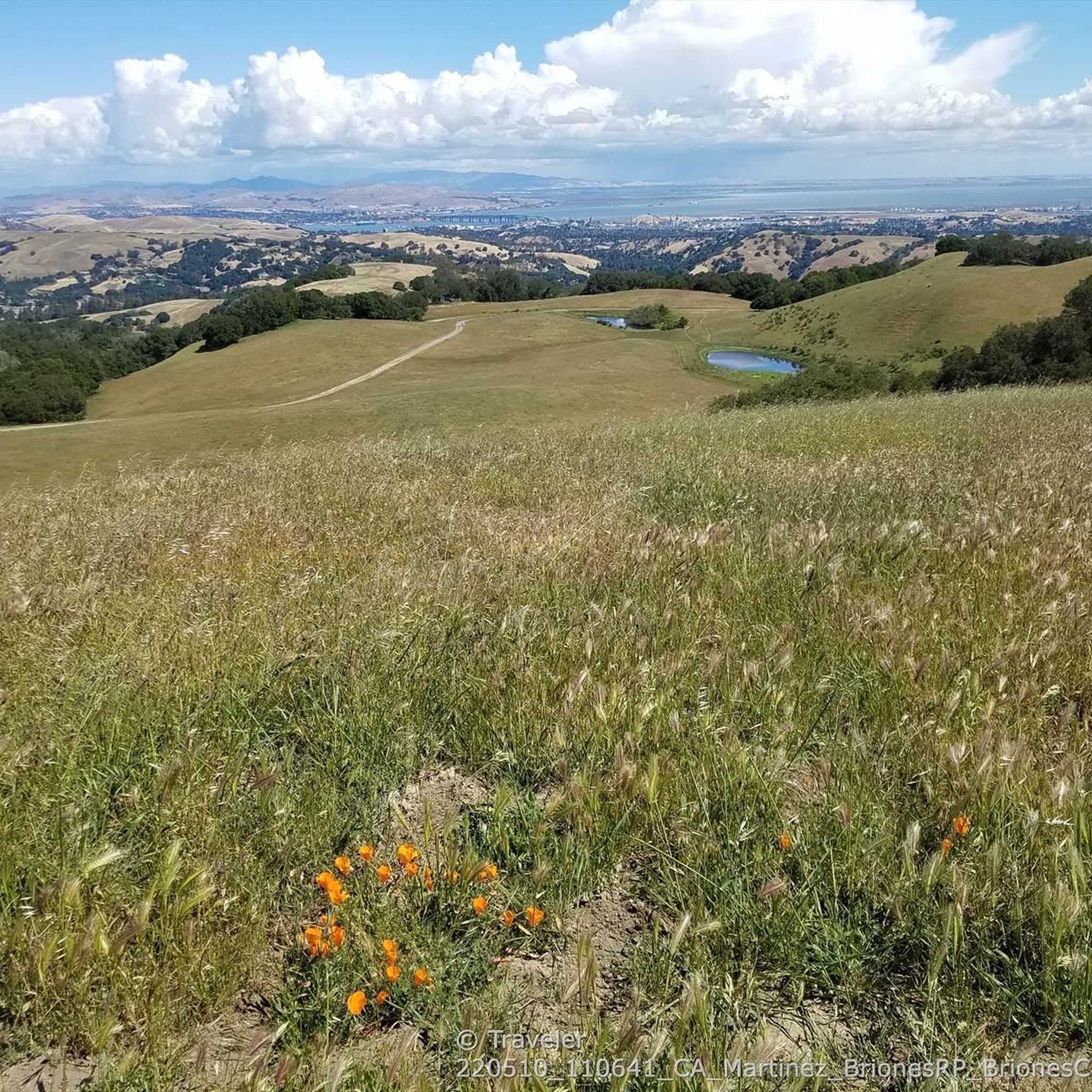
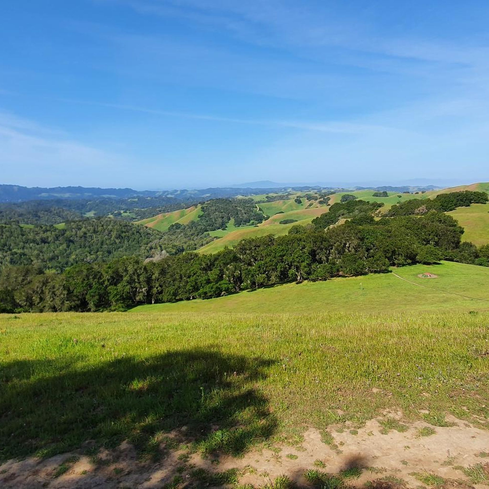
Touring cycling around Reliez Valley offers access to extensive trail networks within a distinctive rural landscape. The area features rolling hills, oak-studded meadows, and open spaces, providing a countryside feel. Briones Regional Park, a 6,000-acre preserve, borders the valley and includes grasslands and diverse ecosystems. From various points, panoramic views of Mount Diablo and the wider San Francisco Bay Area are visible.
Best touring cycling routes around Reliez Valley
- The most popular touring cycling route is Carquinez Strait loop,…
Last updated: August 24, 2026
4.3
(7)
74
riders
56.7km
03:38
620m
620m
Embark on the Carquinez Strait loop, a challenging touring bicycle route that spans 35.2 miles (56.7 km) and includes a significant 2019 feet (615 metres) of elevation gain. This ride,…
5.0
(2)
36
riders
64.0km
04:16
920m
920m
The Briones Reservoir area offers a demanding touring cycling experience, winding through the diverse landscapes of Briones Regional Park. While the immediate reservoir loop is reserved for hikers, this route…

Sign up for free
5.0
(2)
31
riders
46.3km
03:03
650m
650m
The Historic Crockett loop offers a challenging touring bicycle ride through diverse terrain, rewarding you with expansive views of San Pablo Bay, the Delta, Mount Tamalpais, and Mount Diablo. This…
4.0
(2)
19
riders
37.3km
02:20
370m
370m
Embark on the Lamorinda Trail Loop for a moderate touring bicycle ride that offers diverse scenery and a good workout. This 23.2-mile (37.3 km) route features 1206 feet (368 metres)…
5.0
(1)
6
riders
66.0km
03:54
370m
370m
Embark on the Iron Horse Trail and Dougherty Valley Loop for a touring cycling experience that transitions from the smooth, wide paths of a former railway to the gentle undulations…
Get access to more routes and recommendations from other explorers.
Sign up for free
Already have an account?
Our route recommendations are based on thousands of hikes, rides, and runs completed by other people on komoot.
Start today with a free account
Your next adventure awaits.
Login or Signup

Tips from the Community

The Museum of the San Ramon Valley was established in 1985 and sits in a restored 1891 Southern Pacific Railroad Depot with the Victorian-era “Combination Station No. 22” listed on the National Register of Historic Places. The Official Visitor Information Center offers maps, guides, and knowledgeable staff, along with free parking and restrooms located in the caboose.
1
0

The Benicia-Martinez Bridge Trail offers a unique ride across the Carquinez Strait with dedicated bike and pedestrian lanes. It’s a smooth, paved path with great views of the water and passing ships. A solid link between Benicia and Martinez, especially if you’re piecing together a longer Bay Area loop.
1
1

The Iron Horse Trail is a 32-mile multi-path that connects the towns of Concord and Pleasanton. It follows the route of the abandoned Southern Pacific Railroad. With its access to schools, business centers, and parks, the path is popular with commuters and recreationalists.
1
0
The Lafayette-Moraga Regional Trail is a 7.65-mile paved path for hiking, biking, and horseback riding, open from 5 a.m. to 10 p.m. daily. Paralleling St. Mary's Road, the trail connects Lafayette and Moraga, passing through the scenic Moraga Valley. It is a historical route for mule and steam trains transporting redwood lumber. The trail starts at Olympic Boulevard in Lafayette and ends at the Valle Vista staging area near the San Leandro Reservoir. Along the way, it links to schools, parks, and commercial areas and is maintained by the East Bay Regional Park District.
0
0

The Lamorinda Trail Loop has an interesting beginning. Initially the three communities of Lafayette, Orinda and Moraga convened a committee to look at connecting themselves via trails. However, upon looking closely at existing trails they discovered a trail route already existed through the three cities and they simply need to raise funds for signage along the route. After placing the signs designating the route the trail was officially opened on August 10th, 2006.
0
0

This stretch of the trail crosses the Carquinez Bridge, where a dedicated bike path runs alongside the road. From here, you can enjoy stunning views of the bay, with San Pablo Bay on one side and the Carquinez Strait on the other.
1
0
A dedicated bike path runs adjacent to the road, crossing the bridge over the Carquinez Strait at the mouth of Suisun Bay. This is a stunning stretch of trail.
2
1
The Wilcox Station Staging Area serves as the parking for the former Wilcox Station, now part of the Sibley Volcanic Regional Preserve. The station was once part of the Sacramento Northern Railroad, an electric railway that operated between Oakland and Chico. It's worth noting that the trails in the Sibley Volcanic Regional Preserve are designated for hiking only.
0
0
Frequently Asked Questions
How many touring cycling routes are available in Reliez Valley?
Reliez Valley offers a wide selection of touring cycling routes, with over 80 options to explore. These routes cater to various skill levels, ensuring there's something for everyone.
What is the overall difficulty level of touring cycling routes in Reliez Valley?
The routes in Reliez Valley range from easy to difficult. You'll find 29 easy routes, 32 moderate routes, and 25 difficult routes, providing options for all experience levels. Easy routes often feature paved paths and minimal elevation, while difficult routes can include unpaved segments and significant climbs.
What do other touring cyclists say about the routes in Reliez Valley?
The touring cycling routes in Reliez Valley are highly regarded by the komoot community, boasting an average rating of 4.6 stars from over 100 reviews. Cyclists often praise the diverse scenery, rolling hills, and the peaceful, rural escape these routes offer.
Are there any loop routes for touring cyclists in Reliez Valley?
Yes, Reliez Valley features several excellent loop routes. A notable moderate option is the Lamorinda Trail Loop, which covers 23.2 miles. For a more challenging ride, consider the Briones Reservoir loop, a difficult 39.8-mile path offering scenic views.
What kind of landscapes can I expect to see while touring cycling in Reliez Valley?
Reliez Valley is characterized by picturesque rolling hills, expansive oak-studded meadows, and open spaces that provide a distinct countryside feel. Many routes offer panoramic views of Mount Diablo and the wider San Francisco Bay Area, especially from within Briones Regional Park.
Are there routes suitable for beginner touring cyclists?
Yes, beginners can find suitable routes. The region offers 29 easy routes, often on paved paths with minimal elevation gain, such as the 2.7-mile paved trail circling the Lafayette Reservoir Recreation Area, which is ideal for leisurely rides.
Where can I find more challenging touring cycling routes?
For advanced touring cyclists seeking a challenge, Reliez Valley has 25 difficult routes. The Carquinez Strait loop is a difficult 35.2-mile route known for its diverse scenery and bridge crossings. Another demanding option is the Historic Crockett loop, a 28.8-mile trail through varied landscapes.
Are there family-friendly touring cycling options in Reliez Valley?
Absolutely. The Lafayette Reservoir Recreation Area offers a 2.7-mile paved trail that circles the reservoir, perfect for families and leisurely rides. Additionally, many of the 29 easy routes in the area are suitable for family outings.
What natural attractions can I explore near the touring cycling routes?
Beyond the trails, you can explore several natural attractions. The Lafayette Reservoir Recreation Area offers fishing and boating. You can also find scenic spots like Hidden Lake and the Overlook - Briones Reservoir, which provides stunning views.
What are some scenic viewpoints along the touring cycling routes?
Many routes offer panoramic vistas. Within Briones Regional Park and surrounding areas, you can enjoy sweeping views of Mount Diablo and the wider San Francisco Bay Area. The Overlook - Briones Reservoir is a particularly recommended spot for scenic views.
When is the best time of year to go touring cycling in Reliez Valley?
Reliez Valley is generally pleasant for cycling throughout much of the year. Spring and fall offer mild temperatures and vibrant landscapes. Summers can be warm, so early morning or late afternoon rides are often preferred. Winters are typically mild, but it's always wise to check local weather conditions for rain or cooler temperatures.
What are the parking options for touring cyclists in Reliez Valley?
Several trailheads provide convenient parking for cyclists. Within Briones Regional Park, popular access points include the Bear Creek Staging Area, Reliez Valley Road Trailhead, and the Springhill Road access point. Parking is also available at the Lafayette Reservoir Recreation Area.
Most popular attractions around Reliez Valley

Get inspired with the komoot mobile app


Explore more
Browse the best Cycling routes in other regions.
