The best gravel rides around Castle Hill
3.3
(5)
51
riders
10
rides
Gravel bike trails around Castle Hill offer a diverse landscape for cycling, characterized by rolling hills, open fields, and pine forests. The region features varied gravel surfaces, with many routes traversing state parks and open spaces. Riders can expect elevation changes without long, sustained climbs, providing a mix of non-technical dirt roads and some sections with thicker gravel.
Best gravel bike trails around Castle Hill
- The most popular gravel bike trail is Heather Farm & Lake – Ygnacio Canal Trailhead…
Last updated: July 2, 2026
2.0
(1)
6
riders
Moderate gravel ride. Good fitness required. Mostly paved surfaces. Suitable for all skill levels.
3.0
(1)
12
riders
67.4km
04:59
1,460m
1,460m
Hard gravel ride. Very good fitness required. Mostly paved surfaces. Suitable for all skill levels.

Sign up for free
5.0
(2)
8
riders
44.3km
03:15
820m
820m
Hard gravel ride. Very good fitness required. Mostly paved surfaces. Suitable for all skill levels.
13
riders
31.5km
02:15
530m
530m
Hard gravel ride. Very good fitness required. Mostly paved surfaces. Suitable for all skill levels.
3.0
(1)
4
riders
28.3km
01:52
320m
320m
Moderate gravel ride. Good fitness required. Mostly paved surfaces. Suitable for all skill levels.
Get access to more routes and recommendations from other explorers.
Sign up for free
Already have an account?
Our route recommendations are based on thousands of hikes, rides, and runs completed by other people on komoot.
Start today with a free account
Your next adventure awaits.
Login or Signup

Tips from the Community

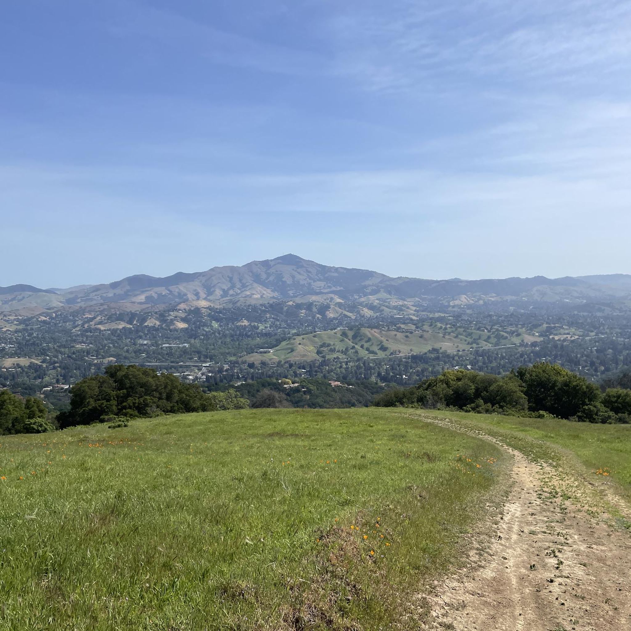
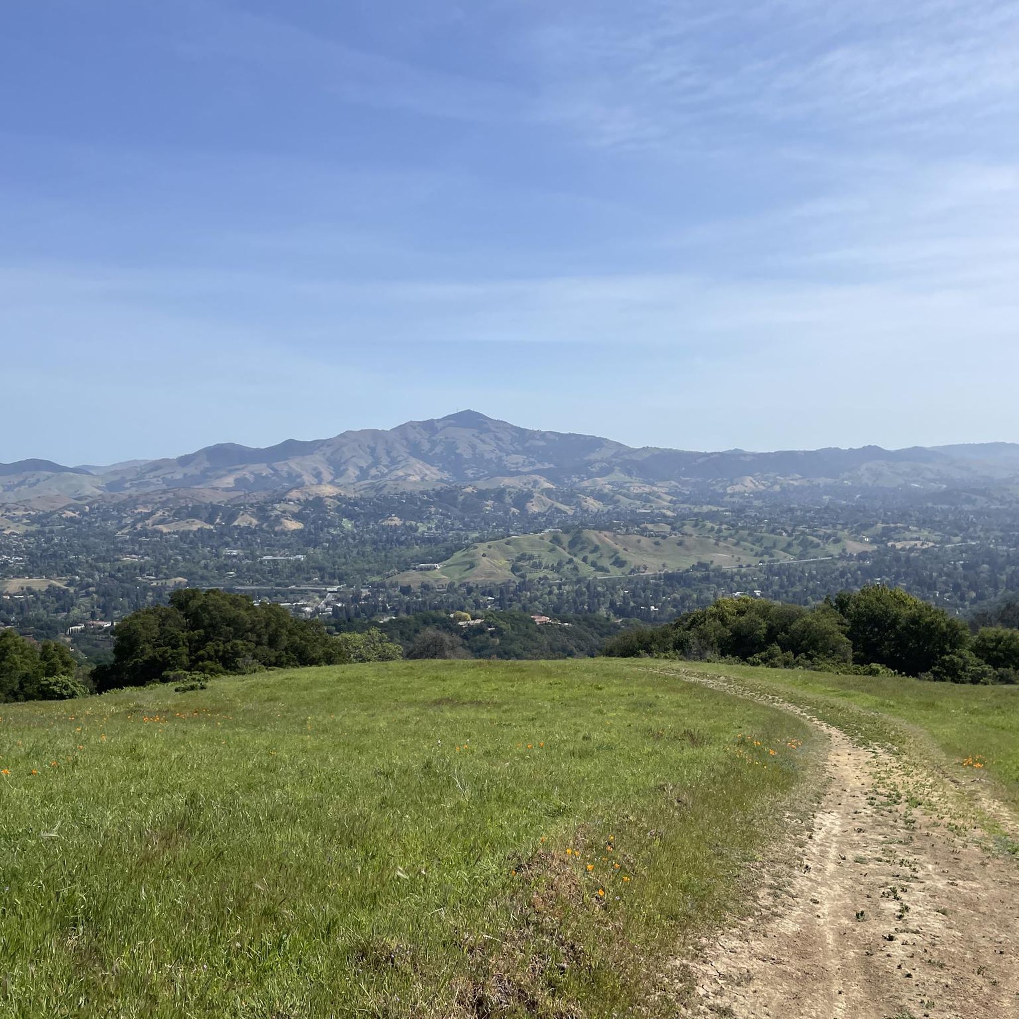
Mount Diablo, is the Bay Area second-highest peak at 1173m (3849ft). The challenging climb features constantly fluctuating gradients averaging 8%, with tough sections up to 18% and a brutal 23% finish in the last 200m. The equally demanding descent requires good bike handling due to tight corners, potholes, and strong winds. The road to the top is open daily from 8 AM till sunset.
0
0
Valle Vista is the trailhead for the paved Lafayette-Moraga Regional Trail, a popular rail-trail for cyclists. There’s a restroom here, but note: the EBMUD dirt trails are hiking-only and require a permit. The bike trail has been officially closed between here and Moraga since a 2019 landslide.
0
0

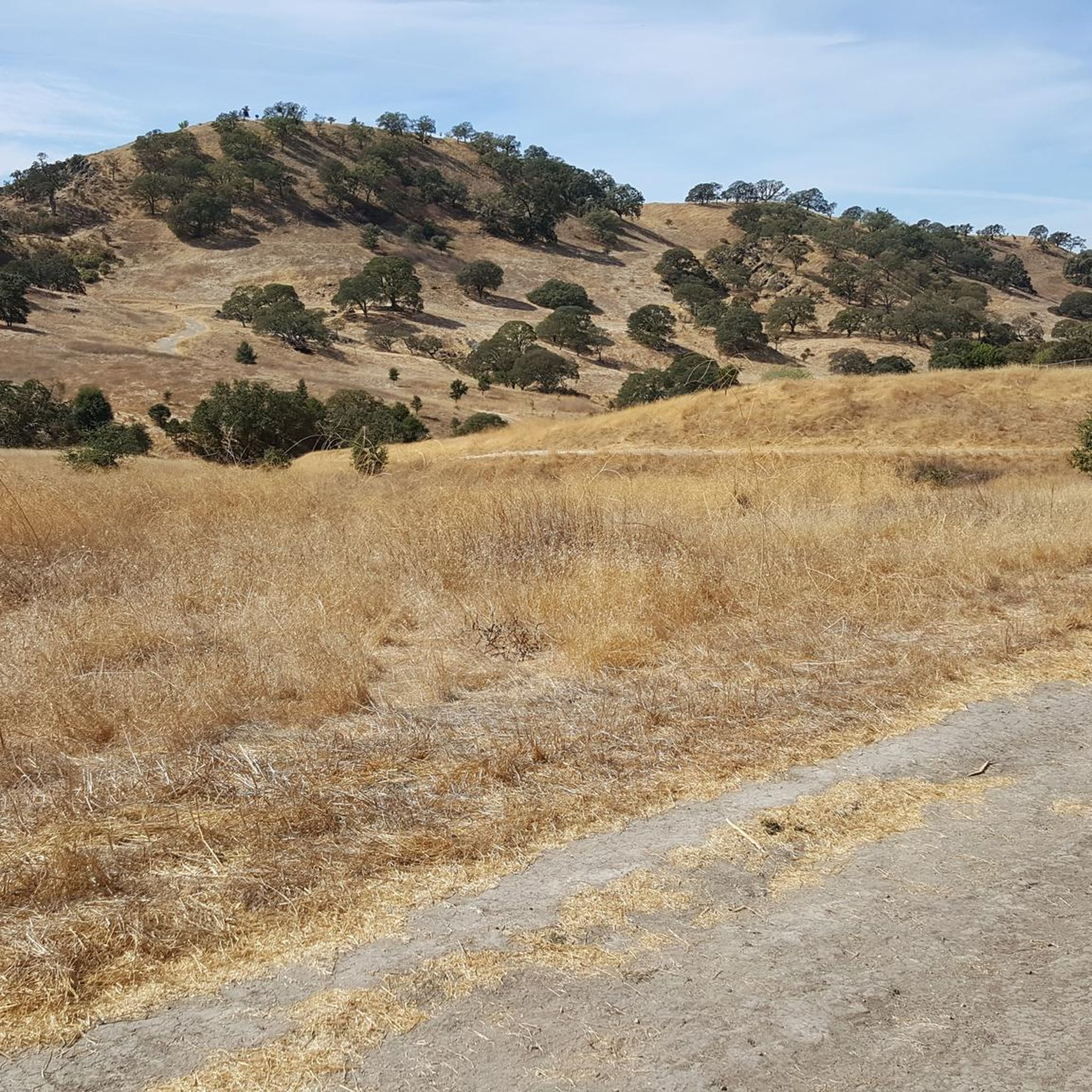
This trailhead begins at the Contra Costa Canal Trail junction. Most of the trail runs along the Ygnacio Canal, where you'll likely see plenty of ducks who inhabit the area. Most of the trail is paved, however, there is an unpaved section near Ygnacio Valley Rd.
0
0

The Iron Horse Trail is a 32-mile multi-path that connects the towns of Concord and Pleasanton. It follows the route of the abandoned Southern Pacific Railroad. With its access to schools, business centers, and parks, the path is popular with commuters and recreationalists.
1
0
The Iron Horse Trail is a 32-mile multi-path that connects the towns of Concord and Pleasanton. It follows the route of the abandoned Southern Pacific Railroad. With its access to schools, business centers, and parks, the path is popular with commuters and recreationalists.
0
0

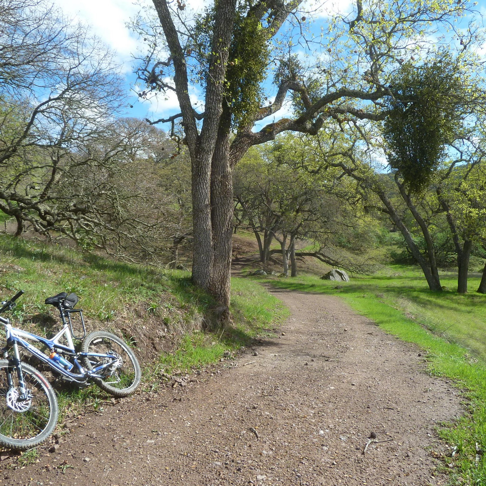
it's a dirt fire road you can see people, hikers, joggers, and other bike riders on. usually in good condition.
0
0
This charming lake sits along the Ygnacio Canal Trail at Heather Farm Park. The park features two lakes, open grassy areas, playgrounds, picnic tables, and other facilities. The lake and surrounding areas are a great spot to take a break while cycling the Ygnacio Canal Trail.
0
0

Frequently Asked Questions
How many gravel bike trails are there in Castle Hill?
There are over 10 gravel bike trails available around Castle Hill, offering a variety of experiences for different skill levels. You'll find a mix of moderate and difficult routes to explore.
What is the difficulty level of gravel biking trails around Castle Hill?
The gravel biking trails in Castle Hill primarily range from moderate to difficult. While there are 4 moderate routes, the majority (8 routes) are considered difficult, often featuring significant elevation gains and longer distances. For example, the Curry Point – Mount Diablo Summit loop from Diablo Foothills Regional Park is a challenging 40-mile ride with substantial climbing.
What kind of terrain can I expect on Castle Hill's gravel bike trails?
You can expect a diverse landscape featuring rolling hills, open fields, and pine forests. The routes offer varied gravel surfaces, including non-technical dirt roads and some sections with thicker gravel. Elevation changes are common, characterized by rolling hills rather than long, sustained climbs, providing a dynamic riding experience.
Are there family-friendly gravel biking routes in Castle Hill?
While many routes are rated moderate to difficult, some sections or shorter loops within the open spaces might be suitable for families with older children or those comfortable with varied terrain. Always check the specific route details for elevation and surface conditions to ensure it matches your family's ability.
Are there circular gravel bike routes available in Castle Hill?
Yes, many of the gravel bike routes in Castle Hill are designed as loops, allowing you to start and finish at the same point. Examples include the popular Heather Farm & Lake – Ygnacio Canal Trailhead loop from De La Salle High School and the Skyline Boulevard – Grizzly Peak Boulevard loop from Lafayette.
What kind of scenery and viewpoints can I expect on Castle Hill gravel trails?
Riders can enjoy picturesque views of distant peaks and varied landscapes including open fields, pine forests, and canyon views, particularly in areas like Castlewood Canyon State Park. Routes often traverse open spaces such as Hidden Mesa, offering expansive views of valleys and dramatic sandstone cliffs. You might also encounter opportunities to bike alongside trains, adding to the visual interest.
Are there any interesting landmarks or attractions near the gravel biking routes?
Yes, the area around Castle Hill offers several points of interest. You can find historical sites like the Museum of the San Ramon Valley, or explore various trails such as the Valle Verde Trailhead Lafayette and the Lafayette-Moraga Regional Trail. For panoramic views, consider visiting viewpoints like Las Trampas Ridge or View from Las Trampas Peak.
What do other gravel bikers enjoy about the trails in Castle Hill?
The gravel biking routes in Castle Hill are highly rated by the komoot community, with an average score of 4.0 stars. Reviewers often praise the diverse terrain, the mix of rolling hills and forests, and the challenging yet rewarding elevation changes that provide expansive views.
What are the typical distances of gravel bike trails in Castle Hill?
Gravel bike trails in Castle Hill vary significantly in length. You can find routes ranging from around 17 miles (28 km) like the Heather Farm & Lake loop, up to longer, more challenging rides such as the Skyline Boulevard – Grizzly Peak Boulevard loop which spans over 45 miles (73 km).
What is the best season for gravel biking in Castle Hill?
The region generally offers good conditions for gravel biking across multiple seasons. During wetter seasons, you might encounter lush greenery and abundant wildflowers. However, some routes can have limited shade, so planning for water and sun protection is advisable, especially during warmer months. Always check local weather conditions before heading out.
Where can I find parking for gravel biking trails in Castle Hill?
Many routes start from established parks or trailheads which typically offer parking facilities. For example, the Curry Point – Mount Diablo Summit loop begins from Diablo Foothills Regional Park, which is likely to have designated parking. It's always recommended to check the specific starting point of your chosen route for parking information.
Are there cafes or pubs along the gravel biking routes in Castle Hill?
While the trails often traverse open spaces and natural areas, some routes may pass through or near towns like Lafayette or Walnut Creek, where you can find cafes and pubs. It's advisable to plan your stops in advance, as services might be limited directly along more remote sections of the trails.
Most popular attractions around Castle Hill

Get inspired with the komoot mobile app


Explore more
Browse the best Gravel rides in other regions.
