The best road cycling routes around Castle Hill
4.5
(120)
4,165
riders
117
rides
Road cycling routes around Castle Hill feature a diverse landscape, from scenic parklands to challenging climbs. The region offers a mix of paved multi-use trails and roads with significant elevation changes. Cyclists can explore routes that traverse former railway lines, pass by lakes, and ascend into hilly terrain. This area provides varied road cycling experiences for different fitness levels.
Best road cycling routes around Castle Hill
- The most popular road cycling route is Sunol Depot loop, a 65.4 miles (105.3 km) trail that takes 4 hours 25 minutes to complete. This moderate route explores varied terrain around the historic Sunol Depot.
- Another top favourite among local road cyclists is Iron Horse Trail bridge – Iron Horse Trail junction loop from Walnut Creek, a difficult 56.1 miles (90.3 km) path. This route utilizes the well-known Iron Horse Trail, offering long stretches of paved cycling.
- Local road cyclists also love the Grizzly Peak Boulevard – Skyline Boulevard loop from Walnut Creek, a 51.2 miles (82.5 km) trail leading through hilly landscapes, often completed in about 4 hours 16 minutes.
- Road cycling around Castle Hill is defined by multi-use paved trails, scenic park routes, and challenging climbs along ridge lines. The network offers options for different ability levels, from easy rides to those requiring very good fitness.
- The routes in Castle Hill are highly rated by the komoot community with an average score of 4.4 stars from over 95 reviews. More than 3,000 road cyclists have used komoot to explore Castle Hill's varied terrain.
Last updated: July 8, 2026
4.8
(4)
575
riders
59.9km
03:22
1,200m
1,200m
Hard road ride. Very good fitness required. Mostly well-paved surfaces and easy to ride.
5.0
(9)
62
riders
33.9km
01:38
390m
390m
Moderate road ride. Good fitness required. Mostly well-paved surfaces and easy to ride.

Sign up for free
36
riders
81.9km
03:53
770m
770m
Moderate road ride. Good fitness required. Mostly well-paved surfaces and easy to ride.
15
riders
14.2km
00:44
90m
90m
Easy road ride. Great for any fitness level. Mostly well-paved surfaces and easy to ride.
16
riders
15.7km
00:48
40m
40m
Easy road ride. Great for any fitness level. Mostly well-paved surfaces and easy to ride.
Get access to more routes and recommendations from other explorers.
Sign up for free
Already have an account?
Our route recommendations are based on thousands of hikes, rides, and runs completed by other people on komoot.
Start today with a free account
Your next adventure awaits.
Login or Signup


Tips from the Community

The Orinda BART Station offers bike racks and 24 storage lockers, ideal if you want to secure your bike and take a break in the city. The station sits in the median of Highway 24, with easy access to nearby trails and residential areas. While there’s no dedicated bike station, the ramps lead right to the station, and the setup supports quick transitions between riding and rail.
0
0

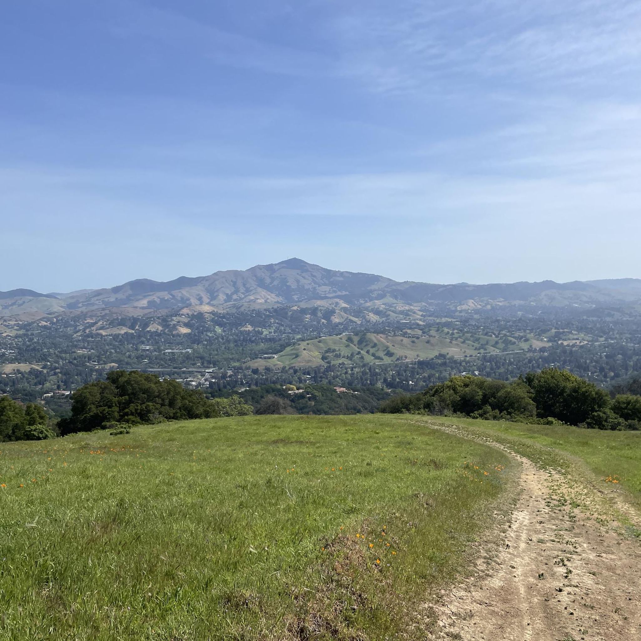
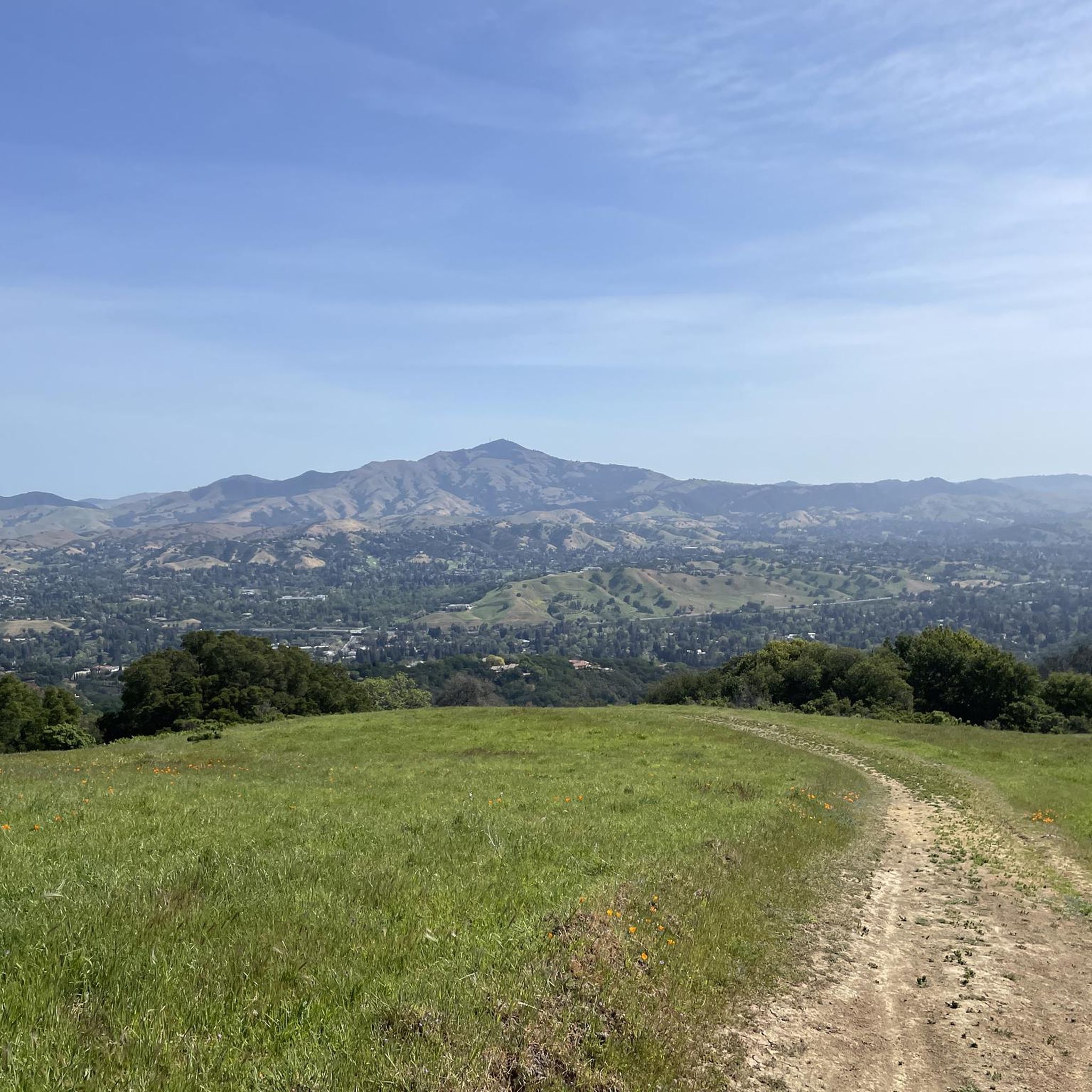
Mount Diablo, is the Bay Area second-highest peak at 1173m (3849ft). The challenging climb features constantly fluctuating gradients averaging 8%, with tough sections up to 18% and a brutal 23% finish in the last 200m. The equally demanding descent requires good bike handling due to tight corners, potholes, and strong winds. The road to the top is open daily from 8 AM till sunset.
0
0

The Del Amigo Swim Club, officially known as the Del Amigo Pool Association, is a member-owned, nonprofit community pool that features two pools. The pool closes every year from mid‑September to March for major renovation.
0
0
Olympic Blvd. Staging Area is a convenient starting point or rest stop for your ride, with parking, restrooms, and water available. It connects directly to the paved Lafayette-Moraga Trail.
0
0

This pretty little brick walkway wanders through a tunnel of shops, restaurants, and businesses around Orinda Theater. The awnings and aerial walkways lend the feeling of an old bustling medieval city.
0
0

The Iron Horse Trail is a 32-mile multi-path that connects the towns of Concord and Pleasanton. It follows the route of the abandoned Southern Pacific Railroad. With its access to schools, business centers, and parks, the path is popular with commuters and recreationalists.
1
0
The Iron Horse Trail is a 32-mile multi-path that connects the towns of Concord and Pleasanton. It follows the route of the abandoned Southern Pacific Railroad. With its access to schools, business centers, and parks, the path is popular with commuters and recreationalists.
0
0
Here, at the northwest corner of Alvarez Ninth Street Park, is a nice vista point over the Carquinez Strait. There is a wooden viewpoint, and it is a nice stop to snap a few photos.
0
0
Frequently Asked Questions
How many road cycling routes are available around Castle Hill?
There are over 100 road cycling routes around Castle Hill, offering a diverse range of experiences. These routes include multi-use paved trails, scenic park routes, and challenging climbs along ridge lines, catering to various skill levels.
What are the different difficulty levels for road cycling routes in Castle Hill?
Castle Hill offers a good mix of routes for all abilities. You'll find 48 easy routes, 42 moderate routes, and 14 difficult routes. This variety ensures that both beginners and experienced cyclists can find suitable challenges.
Are there any family-friendly road cycling routes in Castle Hill?
Yes, Castle Hill has several family-friendly options, particularly those utilizing multi-use paved trails. Routes like the Heather Farm Park Lake – Walden Park loop from Walnut Creek are easy and suitable for families. The region's network includes paths that are traffic-separated and pass through parks, making them ideal for a relaxed family ride.
What kind of terrain can I expect on road cycling routes in Castle Hill?
The terrain around Castle Hill is quite varied. You can expect mostly paved surfaces, ranging from flat multi-use trails like sections of the Iron Horse Trail to routes with significant elevation gains and challenging climbs through hilly landscapes, such as the Grizzly Peak Boulevard – Skyline Boulevard loop from Walnut Creek.
What are some popular long-distance road cycling routes in the area?
For longer rides, the Sunol Depot loop is a popular choice at 65.4 miles (105.3 km). Another favorite is the Iron Horse Trail bridge – Iron Horse Trail junction loop from Walnut Creek, which covers 56.1 miles (90.3 km) and utilizes the extensive Iron Horse Trail.
Are there any circular road cycling routes around Castle Hill?
Yes, many routes in Castle Hill are designed as loops, offering a convenient way to start and end your ride at the same point. Examples include the Sunol Depot loop and the Leigh Creekside Park – Lafayette-Moraga Trail loop from Walnut Creek, which are both popular circular options.
What natural features or landmarks can I see along the road cycling routes?
While cycling, you can encounter various natural features and landmarks. Routes may pass by areas like Redwood Grove or offer views from points such as Las Trampas Ridge. The region also features unique geological formations like the Sandstone Formations With Holes in Diablo Foothills Regional Park.
What do other road cyclists enjoy most about road cycling in Castle Hill?
The komoot community highly rates road cycling in Castle Hill, with an average score of 4.4 stars from over 95 reviews. Cyclists often praise the diverse terrain, from scenic park routes to challenging climbs, and the extensive network of multi-use paved trails that cater to different abilities.
Are there routes that offer scenic viewpoints?
Absolutely. Many routes in the Castle Hill area provide access to scenic viewpoints. For instance, the Grizzly Peak Boulevard – Skyline Boulevard loop from Walnut Creek is known for its hilly landscapes, which often offer expansive views. You can also find specific viewpoints like View from Las Trampas Peak along some routes.
What is the best time of year for road cycling in Castle Hill?
While specific seasonal conditions can vary, the region generally offers good cycling opportunities for much of the year. The presence of varied routes, from paved trails to more exposed climbs, means you can often find a suitable ride depending on the weather. It's always advisable to check local weather forecasts before heading out.
Are there any routes that follow former railway lines?
Yes, the region is known for utilizing former railway lines for cycling. The Iron Horse Trail, for example, follows a former railway line and is a significant part of routes like the Iron Horse Trail bridge – Iron Horse Trail junction loop from Walnut Creek. These trails often provide safe, traffic-separated cycling through scenic areas.
Can I find routes that pass by lakes or other water features?
Yes, some routes in Castle Hill incorporate water features. The Heather Farm Park Lake – Walden Park loop from Walnut Creek is an easy route that passes by Heather Farm Park Lake, offering pleasant views and a tranquil cycling experience.
Most popular attractions around Castle Hill

Get inspired with the komoot mobile app


Explore more
Browse the best Road cycling routes in other regions.
