The best gravel rides around Avocado Heights
30
riders
2
rides
Gravel biking around Avocado Heights features a semi-rural landscape with access to diverse trail networks. The area is characterized by decomposed granite trails, river greenways, and the gravelly inclines of Turnbull Canyon. Riders can experience varied terrain, from relatively flat paths along the San Gabriel River to more challenging routes with significant elevation gains, often with distant views of the San Gabriel Mountains.
Best gravel bike trails around Avocado Heights
- The most popular gravel bike trail is Turnbull Debris Basin…
Last updated: August 23, 2026
14
riders
48.6km
03:59
1,010m
1,010m
Hard gravel ride. Very good fitness required. Mostly paved surfaces. Suitable for all skill levels.
4
riders
32.8km
03:06
890m
890m
Hard gravel ride. Very good fitness required. Mostly paved surfaces. Suitable for all skill levels.

Sign up for free
1
riders
66.0km
05:38
1,680m
1,680m
Hard gravel ride. Very good fitness required. Mostly paved surfaces. Suitable for all skill levels.
2
riders
11.9km
01:01
250m
260m
Moderate gravel ride. Good fitness required. Mostly paved surfaces. Suitable for all skill levels.
4
riders
29.8km
02:18
570m
570m
Hard gravel ride. Very good fitness required. Mostly paved surfaces. Suitable for all skill levels.
Our route recommendations are based on thousands of hikes, rides, and runs completed by other people on komoot.
Start today with a free account
Your next adventure awaits.
Login or Signup


Tips from the Community

There are lots of vintage shops and cafes in the historic downtown. Library Park is a great place to rest in the shade with a bite to eat before continuing your ride.
0
0

Old Town Monrovia is a 10‑block historic district centered on Myrtle Avenue, that has brick‑lined sidewalks, vintage lampposts, and boutique shops.
0
0
Monrovia Recreation Park is 22 acres and has playgrounds, picnic shelters, and restrooms. It is a good spot for a break in the shade and some water.
0
0
Great view from the cycle path of the San Gabriel Mountains in the distance.
0
0

Leafy park with lawns and shaded seating, restrooms, drinking water. Great for a break
1
0

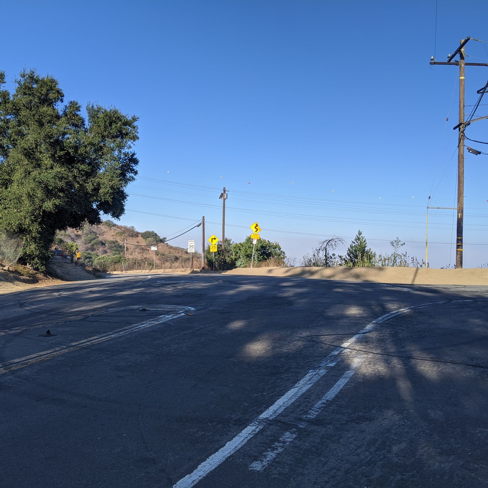
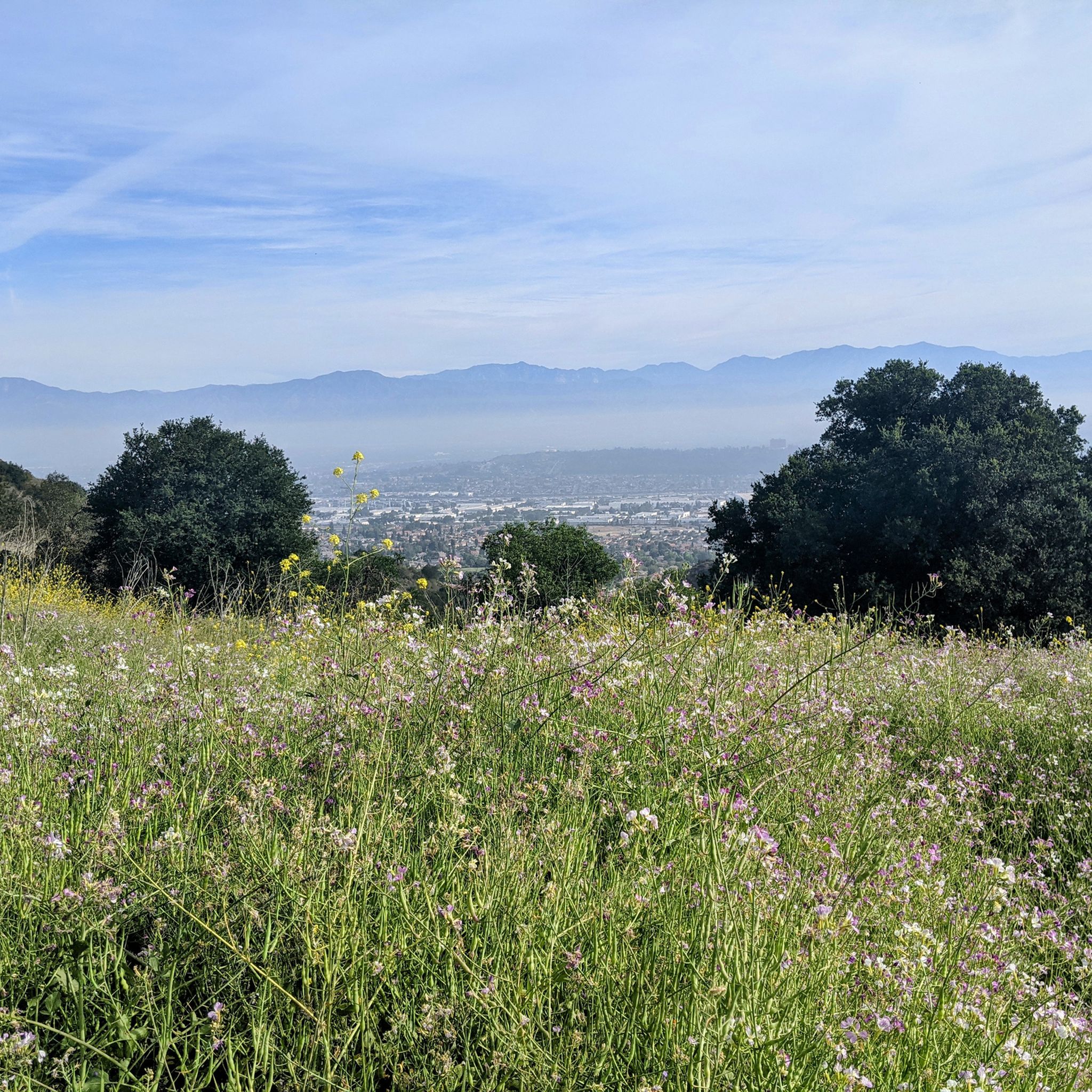
Ride through Turnbull Canyon and be rewarded with stunning views of Los Angeles County and surround yourself with a mix of natural beauty and historical intrigue. The road climbs with an average gradient of 5.2%, gaining 775 feet in elevation and peaking at 1,161 feet. Be cautious of fast-driving vehicles on the winding roads.
1
0
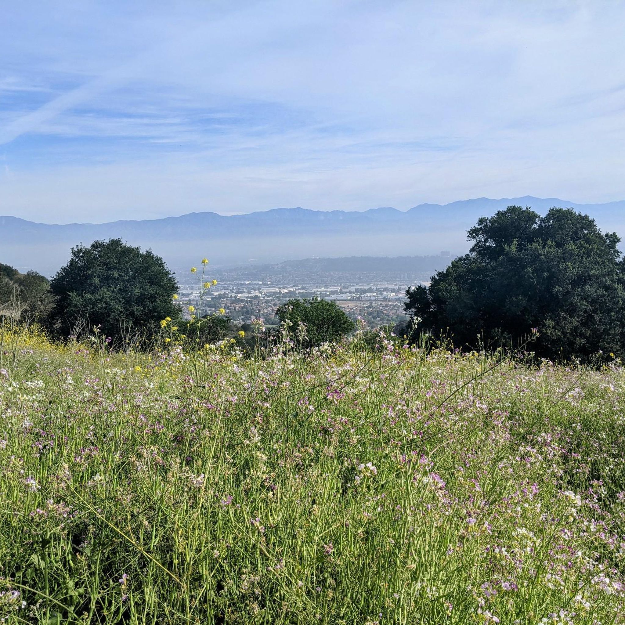
Climb up into the picturesque and rural community of La Habra Heights, known for large properties, many of which allow for agricultural activities such as horse keeping and avocado farming. The area has fantastic views that reach as far as the ocean, and on a clear day, Catalina Island is visible.
1
0
Duarte Bike Trail is a multi-purpose trail that was founded in 1977. It stretches 1.6 miles from Buena Vista Avenue to Royal Oaks Park at Vineyard Avenue. There are both a paved cycling path and a dirt jogging and equestrian trail. The path runs under shady oak trees with gentle slopes, and the trail follows the historic Pacific Electric Railway route, where you can spot an arched bridge that once carried Red Trolley Cars to Los Angeles. Great for biking, jogging, dog walking, or leisurely strolls, the trail includes amenities like parking, restrooms at Royal Oaks Park, drinking fountains, and a bike repair station at Vineyard Avenue. It’s open daily from dawn to dusk.
0
0
Frequently Asked Questions
What kind of terrain can I expect on gravel bike trails around Avocado Heights?
Gravel biking around Avocado Heights offers a diverse range of terrain. You'll encounter decomposed granite trails, unpaved and rockier sections along the San Gabriel River Trail, and the challenging gravelly inclines of Turnbull Canyon. Many routes feature a mix of paved and unpaved surfaces, providing a varied riding experience.
Are there any easy gravel bike trails suitable for beginners in Avocado Heights?
While many routes in the immediate area are rated moderate to difficult, the region does offer accessible options. The Avocado Heights Trail, for instance, is primarily decomposed granite with minimal elevation gain, making it suitable for various skill levels. For a moderate loop, consider the Turnbull Debris Basin – Turnbull Debris Basin loop from Whittier, which is 7.4 miles (11.9 km) long.
What are the best times of year for gravel biking in Avocado Heights?
Avocado Heights benefits from a Mediterranean climate with mild winters, making it suitable for year-round outdoor activities. However, the most pleasant times for gravel biking are typically spring and fall when temperatures are moderate. Summers can be hot, so early morning or late afternoon rides are recommended during those months.
Are there any family-friendly gravel biking options in the area?
For families, the Avocado Heights Trail offers an easy, relatively flat experience on decomposed granite. Additionally, sections of the San Gabriel River and Rio Hondo Greenways, while often paved, provide scenic and comfortable cycling paths that can be enjoyed by families, with some unpaved sections suitable for gravel bikes.
Can I bring my dog on the gravel bike trails around Avocado Heights?
Many trails in the Avocado Heights area, including sections of the San Gabriel River Trail and paths within natural areas like Bosque del Rio Hondo, are generally dog-friendly. However, it's always best to check specific trail regulations for leash requirements and any restrictions before heading out with your canine companion.
Are there any circular gravel bike routes available?
Yes, there are several excellent circular routes. For a challenging ride, consider the Turnbull Debris Basin – Turnbull Canyon loop from La Serna High School, which is 30.2 miles (48.6 km). Another popular option is the Turnbull Canyon – Turnbull Debris Basin loop from Rose Hills, a difficult 20.4-mile (32.8 km) path with significant elevation gains.
What scenic views or attractions can I see along the gravel bike trails?
Many local trails offer picturesque distant views of the majestic San Gabriel Mountains. You can also explore natural areas like Bosque del Rio Hondo, known for birdwatching, or ride along the San Gabriel River Greenway. The challenging routes through Turnbull Canyon also provide scenic vistas of Los Angeles County.
Where can I find parking for gravel biking in Avocado Heights?
Parking is generally available at various access points to the trail networks. For routes accessing Turnbull Canyon, you might find parking near La Serna High School or Rose Hills. For trails along the river greenways, look for parking at local parks or designated trailheads that provide access to the San Gabriel River and Rio Hondo paths.
Are there any cafes or restaurants near the gravel bike trails in Avocado Heights?
Avocado Heights maintains a semi-rural character, but you'll find various dining options in the surrounding communities. Whittier, for example, is a nearby city with a range of cafes and restaurants where you can refuel after your ride. It's advisable to plan your route to pass through or near these areas if you intend to stop for refreshments.
How can I access the gravel bike trails using public transport?
While Avocado Heights itself is more semi-rural, public transport options like local bus services connect to surrounding cities in Los Angeles County. You would typically need to plan your journey to a point near a trail access, such as the San Gabriel River Greenway or areas bordering Turnbull Canyon, and then cycle to the trailhead. Check local transit authority websites for specific routes and schedules.
Are there any permits required to ride the gravel bike trails?
Generally, permits are not required for casual gravel biking on the public trails and greenways around Avocado Heights, such as the Avocado Heights Trail or the San Gabriel River Trail. However, it's always good practice to check for any specific regulations or temporary closures, especially for trails that pass through sensitive natural areas or private land.
What makes gravel biking in Avocado Heights unique compared to other areas?
Avocado Heights offers a unique blend of semi-rural charm and access to diverse trail networks. Its equestrian-friendly environment means quieter rides away from heavy traffic, and the presence of decomposed granite trails, unpaved river sections, and the challenging gravelly inclines of Turnbull Canyon provides a distinct experience not always found in more urbanized parts of Los Angeles County.
Most popular attractions around Avocado Heights

Get inspired with the komoot mobile app


Explore more
Browse the best Gravel rides in other regions.
