The best running trails around Avocado Heights
3.5
(4)
246
runners
33
runs
Jogging around Avocado Heights offers a blend of semi-rural landscapes and accessible natural features. The region features an extensive trail system, including decomposed granite paths that traverse equestrian neighborhoods and provide access to river greenways. Proximity to the San Gabriel River and recreation areas like Whittier Narrows and Legg Lake provides picturesque settings for running. While some nearby trails offer significant elevation changes, the general topography within Avocado Heights is relatively flat, making many areas suitable for varied running experiences.
…Last updated: June 28, 2026
24
runners
5.40km
00:37
10m
10m
Moderate run. Good fitness required. Mostly paved surfaces. Suitable for all skill levels.
5
runners
13.5km
01:44
410m
400m
Hard run. Very good fitness required. Mostly paved surfaces. Suitable for all skill levels.

Sign up for free
5
runners
8.76km
01:13
310m
310m
Hard run. Very good fitness required. Mostly paved surfaces. Suitable for all skill levels.
3.0
(1)
9
runners
4.73km
00:32
10m
10m
Easy run. Great for any fitness level. Mostly paved surfaces. Suitable for all skill levels.
17
runners
17.6km
02:19
500m
500m
Hard run. Very good fitness required. Mostly paved surfaces. Suitable for all skill levels.
Get access to more routes and recommendations from other explorers.
Sign up for free
Already have an account?
Our route recommendations are based on thousands of hikes, rides, and runs completed by other people on komoot.
Start today with a free account
Your next adventure awaits.
Login or Signup

Tips from the Community

Whittier Narrows Recreation Area, boasting two expansive lakes, offers a plethora of amenities across its 1,492 acres. From baseball fields to hiking trails, playgrounds to picnic shelters, it caters to diverse recreational interests. Visitors can enjoy boating, fishing, hiking, picnicking, and much more amidst its scenic surroundings.
0
0
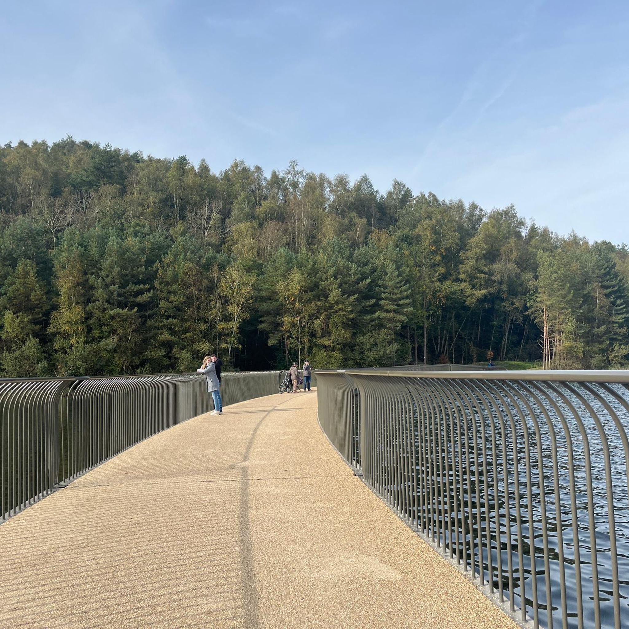
Legg Lake, nestled in Whittier Narrows Recreation Area, presents a generous expanse of water for the local area. Visitors can enjoy encounters with various waterfowl species like Canada Geese, Ducks, and more, adding to the charm of the area. However, be cautious, as they can get quite close during your visit.
0
0

The Puente Hills Preserve covers almost 4,000 acres and a number of different hiking trails without having to leave the city. Most of the trails are well-marked, well-kept, and easy to follow. There are a few different trailheads in the preserve, so you can start your run from a number of different spots.
0
0

Whittier Narrows is located at a gap in the mountains that make up the southern edge of the San Gabriel Valley. The fulcrum of this park are the three main lakes namely Legg Lake, Centre Lake and North Lake. All three have trails going around them. It is a beautiful area to spend some time at no matter what your sport but a run around the three lakes is a great way to spend a training session.
0
0
This large recreation park has several lakes for boating and fishing, bike trails which double up as great running loops with lakeside views. It also hosts the American Military Museum, a nature center and more. There is over 1500 acres to explore and what better way to see it than by running round most if not all of it.
0
0

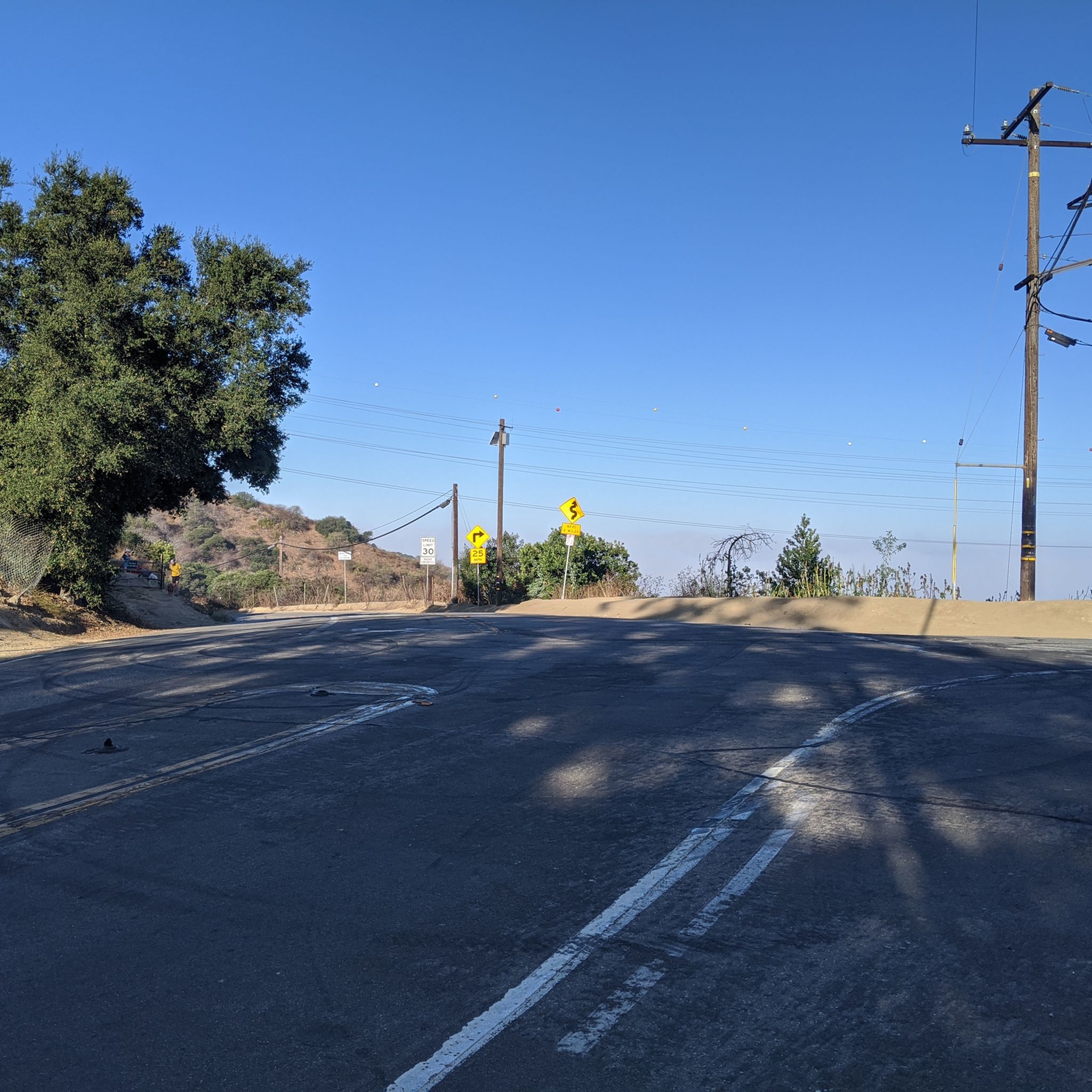
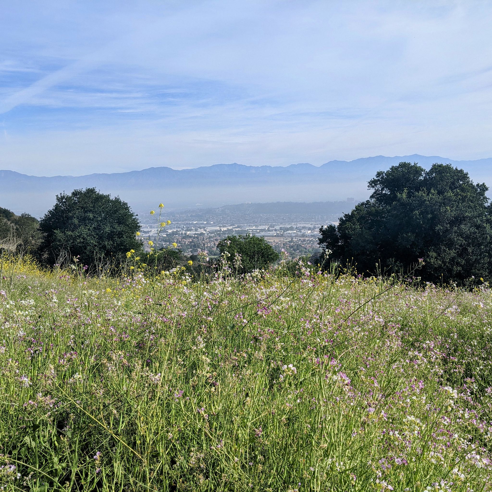
Named after the Workman family, this point is the highest in the western hills, and your legs can feel it after reaching this point. It offers stunning panoramic views of the hills of the Puente Hills Preserve.
0
0

Whittier Hill sits at an elevation of 1288 feet (386 m). This summit has a water tower covered with dishes, and some describe the satellites as making it look like a satellite crashed on the top of Whittier Hill. Rattlesnake Ridge Trail will take hikers and runners up to the top of this hill.
0
0
Conquer the challenge of Workman Hill in Puente Hills Preserve. The singletrack rewards your hard work with panoramic views at the summit.
0
0
Frequently Asked Questions
How many running routes are available in Avocado Heights?
Avocado Heights offers a diverse selection of over 30 running routes, catering to various fitness levels and preferences. These routes range from easy loops around recreational areas to more challenging trails with significant elevation gains.
What is the best time of year to go running in Avocado Heights?
The mild and temperate climate of Avocado Heights generally creates favorable conditions for year-round running. However, spring and fall are particularly pleasant for exploring the trails, offering comfortable temperatures before the very hot summer months.
Are there any easy or beginner-friendly running routes in the area?
Yes, Avocado Heights has several easy running options. A great choice for beginners or those seeking a relaxed run is the Legg Lake loop from South El Monte, which is approximately 3 miles (4.7 km) long with minimal elevation change. The Whittier Narrows Recreation Area lakes loop is another moderate, picturesque option.
What do other runners enjoy most about the trails in Avocado Heights?
The running routes in Avocado Heights are highly rated by the komoot community, with an average score of 4.0 stars. Runners often praise the blend of semi-rural landscapes, the extensive trail system, and the picturesque settings found around areas like the Whittier Narrows Recreation Area and Legg Lake.
Are there any challenging running routes for experienced runners?
Absolutely. For those seeking a more strenuous workout, the Workman Hill and Schabarum-Skyline Loop is a difficult 8.4-mile (13.5 km) path featuring significant elevation gain and expansive views. Another challenging option is the Ahwingna - Native Oak - Coyote Loop Trail, offering varied terrain and views from Whittier Hill.
Can I find circular running routes in Avocado Heights?
Yes, many of the popular running paths in Avocado Heights are designed as loops, offering a convenient way to start and end your run at the same point. Examples include the Whittier Narrows Recreation Area lakes loop and the Workman Hill and Schabarum-Skyline Loop.
Are there any trails that pass through unique natural features or offer wildlife spotting opportunities?
Yes, the area is rich in natural beauty. The Bosque del Rio Hondo, near Whittier Narrows, is a quaint green area abundant with wildlife, making it a great spot for nature observation while running. The trails also often traverse equestrian areas, providing a unique semi-rural backdrop.
What kind of landscapes can I expect to see while running in Avocado Heights?
Runners in Avocado Heights can expect a mix of semi-rural charm, extensive trail networks, and accessible natural features. You'll encounter decomposed granite paths, equestrian neighborhoods, and river greenways like the San Gabriel River Greenway. Some routes also offer expansive views from hills like Whittier Hill.
Are there any specific attractions or points of interest along the running routes?
Many routes are close to or pass through notable areas. You can explore the picturesque settings of the Whittier Narrows Recreation Area and Legg Lake. The Bosque del Rio Hondo is a charming green space. Additionally, the Turnbull Canyon area offers scenic views and trails.
Is public transport available to reach the running trails in Avocado Heights?
While specific public transport options vary by trailhead, the region is part of Los Angeles County. For detailed public transport information to specific trailheads or parks like Whittier Narrows Recreation Area, it's best to consult local transit authority websites.
Are there any trails suitable for families or those with children?
Yes, the relatively flat topography within Avocado Heights makes many areas suitable for less strenuous activities. The Legg Lake loop from South El Monte is an easy, family-friendly option. Local parks like Avocado Heights Park also provide amenities and open spaces for outdoor activities.
Are there any cafes or places to eat near the running trails in Avocado Heights?
Avocado Heights and its surrounding communities offer various dining options. While specific cafes directly adjacent to every trailhead might be limited, you'll find a selection of eateries and shops in the nearby urban centers and neighborhoods to refuel after your run.
Most popular attractions around Avocado Heights

Get inspired with the komoot mobile app


Explore more
Browse the best Running Trails & Routes in other regions.
