The best gravel rides around Alamo
3.3
(5)
51
riders
10
rides
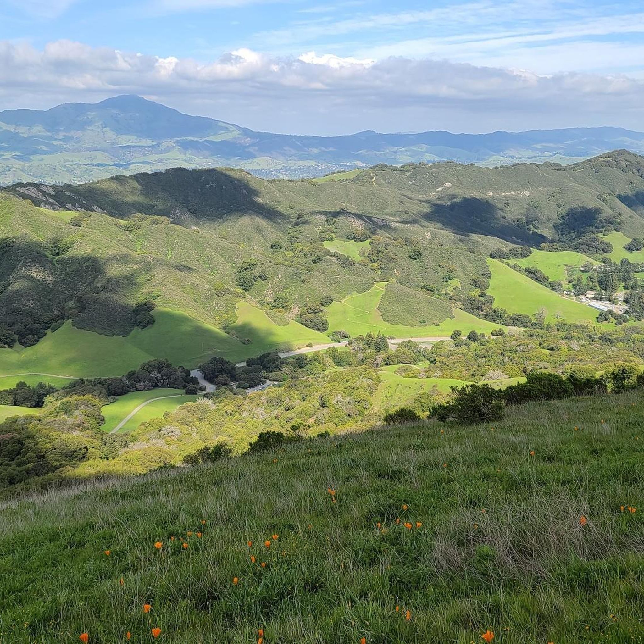
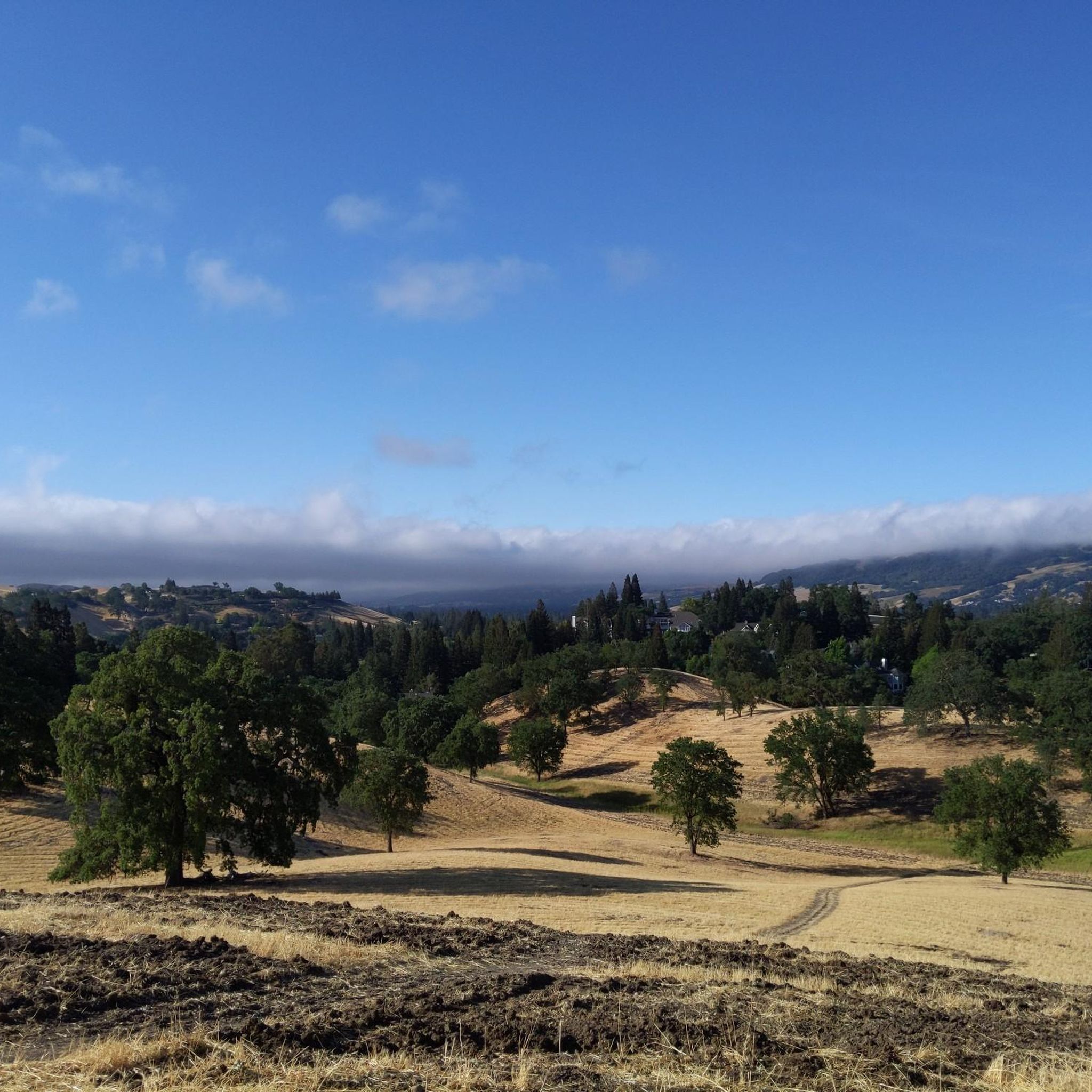
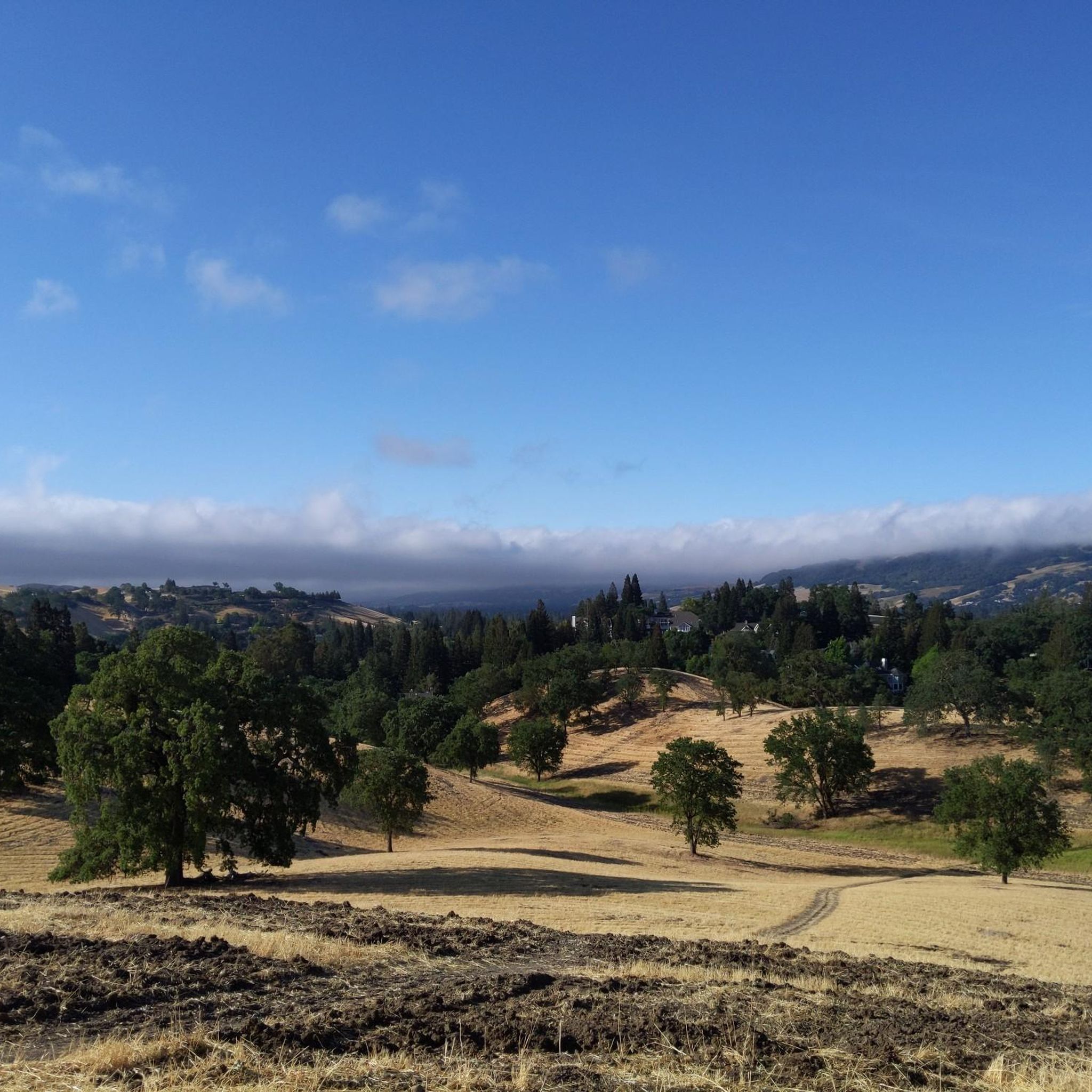
Gravel bike trails around Alamo, California, traverse a landscape characterized by rolling hills and lush greenery, offering views of Mount Diablo. The region includes expansive areas like Las Trampas Regional Wilderness, providing diverse unpaved surfaces for cycling. Gravel routes often connect green spaces such as Hap Magee Ranch Park and Alamo Creek Park, with some extending towards Mount Diablo State Park.
Best gravel bike trails around Alamo
- The most popular gravel bike trail is Heather Farm & Lake – Ygnacio…
Last updated: May 31, 2026
2.0
(1)
6
riders
Moderate gravel ride. Good fitness required. Mostly paved surfaces. Suitable for all skill levels.
5.0
(2)
8
riders
44.3km
03:15
820m
820m
Hard gravel ride. Very good fitness required. Mostly paved surfaces. Suitable for all skill levels.

Sign up for free
13
riders
31.5km
02:15
530m
530m
Hard gravel ride. Very good fitness required. Mostly paved surfaces. Suitable for all skill levels.
3.0
(1)
4
riders
28.3km
01:52
320m
320m
Moderate gravel ride. Good fitness required. Mostly paved surfaces. Suitable for all skill levels.
8
riders
21.2km
01:27
340m
340m
Moderate gravel ride. Good fitness required. Mostly paved surfaces. Suitable for all skill levels.
Get access to more routes and recommendations from other explorers.
Sign up for free
Already have an account?
Our route recommendations are based on thousands of hikes, rides, and runs completed by other people on komoot.
Start today with a free account
Your next adventure awaits.
Login or Signup
Tips from the Community

Valle Vista is the trailhead for the paved Lafayette-Moraga Regional Trail, a popular rail-trail for cyclists. There’s a restroom here, but note: the EBMUD dirt trails are hiking-only and require a permit. The bike trail has been officially closed between here and Moraga since a 2019 landslide.
0
0

This trailhead begins at the Contra Costa Canal Trail junction. Most of the trail runs along the Ygnacio Canal, where you'll likely see plenty of ducks who inhabit the area. Most of the trail is paved, however, there is an unpaved section near Ygnacio Valley Rd.
0
0

The Iron Horse Trail is a 32-mile multi-path that connects the towns of Concord and Pleasanton. It follows the route of the abandoned Southern Pacific Railroad. With its access to schools, business centers, and parks, the path is popular with commuters and recreationalists.
1
0
The Iron Horse Trail is a 32-mile multi-path that connects the towns of Concord and Pleasanton. It follows the route of the abandoned Southern Pacific Railroad. With its access to schools, business centers, and parks, the path is popular with commuters and recreationalists.
0
0

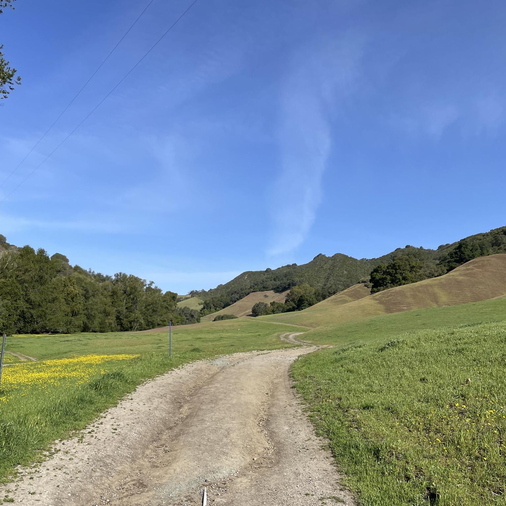
it's a dirt fire road you can see people, hikers, joggers, and other bike riders on. usually in good condition.
0
0
This charming lake sits along the Ygnacio Canal Trail at Heather Farm Park. The park features two lakes, open grassy areas, playgrounds, picnic tables, and other facilities. The lake and surrounding areas are a great spot to take a break while cycling the Ygnacio Canal Trail.
0
0
Strategic trail junction of these two excellent, flat, paved, car-free trail systems.
0
0

A natural lake, mostly used for fishing, that has the paved Ygnacio Canal Trail on the west side and some unpaved trails along the east.
0
0
Frequently Asked Questions
How many gravel bike trails are there in Alamo?
Alamo offers a selection of over 10 gravel bike trails, providing diverse options for exploring the region's rolling hills and natural beauty. These routes cater to various skill levels, from moderate paths to more challenging climbs.
What kind of terrain can I expect on gravel bike trails around Alamo?
Gravel biking around Alamo, California, features a mix of unpaved surfaces, including dirt roads and gravel paths, often traversing rolling hills and lush greenery. You'll find routes through expansive areas like Las Trampas Regional Wilderness and connections to green spaces such as Hap Magee Ranch Park and Alamo Creek Park, with some extending towards Mount Diablo State Park.
Are there any family-friendly gravel biking options in Alamo?
While many routes in Alamo tend towards moderate to difficult, the Heather Farm & Lake – Ygnacio Canal Trailhead loop from De La Salle High School is a moderate 17.8-mile trail that offers varied terrain near urban green spaces, which might be suitable for families with some biking experience. For easier, paved multi-use options, the Iron Horse Regional Trail runs through Alamo and can connect to unpaved areas for a mixed experience.
Can I bring my dog on the gravel trails in Alamo?
Many regional parks and open spaces in the Alamo area, such as Las Trampas Regional Wilderness, generally allow dogs on trails, often requiring them to be on a leash. However, specific regulations can vary by park and trail. It's always best to check the individual park's rules before heading out with your canine companion.
What are some scenic viewpoints or landmarks I can see while gravel biking?
The gravel trails around Alamo offer stunning views, particularly of Mount Diablo. You can reach the Mount Diablo Summit for panoramic vistas, or explore areas with viewpoints like Devil's Pulpit and Las Trampas Ridge. The region's natural beauty includes rolling hills and lush landscapes.
Are there options for advanced gravel bikers looking for a challenge?
Yes, Alamo offers several challenging routes for experienced gravel bikers. The Iron Horse Trail junction – Heather Farm & Lake loop from Walnut Creek is a difficult 44.1-mile route with significant elevation gain. Another demanding option is the Lafayette-Moraga Trail – Skyline Boulevard loop from Moraga, covering 35.4 miles with substantial climbing.
Where can I find parking for gravel bike trails in Alamo?
Parking is generally available at various trailheads and regional parks throughout the Alamo area. For routes connecting to Mount Diablo State Park or Las Trampas Regional Wilderness, designated parking lots are typically provided. Specific parking information can often be found on individual park websites or komoot tour pages.
Is public transport available to reach trailheads?
While direct public transport to all gravel trailheads might be limited, the Iron Horse Regional Trail, which runs through Alamo, is accessible via public transport in nearby towns like Walnut Creek. From there, you can connect to various routes. Planning your trip with local transit schedules is recommended.
What is the best time of year to go gravel biking in Alamo?
The best time for gravel biking in Alamo, California, is typically during the spring and fall months when temperatures are mild and the landscape is vibrant. Summers can be hot, especially in exposed areas, while winters may bring rain, making some unpaved trails muddy. Always check local weather conditions before your ride.
Are there any loop routes for gravel biking in Alamo?
Yes, many of the gravel biking routes in Alamo are designed as loops, allowing you to start and end at the same point. Examples include the Heather Farm & Lake – Ygnacio Canal Trailhead loop from De La Salle High School and the Iron Horse Trail junction – Heather Farm & Lake loop from Walnut Creek, offering convenient circular journeys.
What do other gravel bikers say about the trails in Alamo?
The gravel biking routes in Alamo are highly rated by the komoot community, with an average score of 4.0 stars. Reviewers often praise the diverse terrain, the challenging climbs, and the stunning views of Mount Diablo and the surrounding rolling hills.
Are there any cafes or places to refuel near the trails?
Alamo and its surrounding towns like Walnut Creek and Lafayette offer various cafes, restaurants, and shops where you can refuel before or after your ride. Many routes pass near or through these communities, providing convenient stops for coffee, snacks, or a meal.
Most popular routes around Alamo
Most popular attractions around Alamo

Get inspired with the komoot mobile app


Explore more
Browse the best Gravel rides in other regions.
